


Kings Peak - Henry's Fork (via Anderson Pass), August 2013
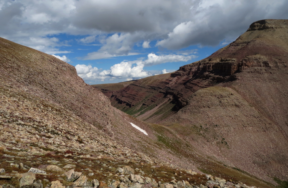
 as seen from the Henry's Fork approach (photo taken on return).")
With less time off work than I had hoped for, I settled on the Beehive State as the venue for my annual Get-The-Hell-Outta-Dodge © summer road trip. No, this wasn't about revisiting Bryce Canyon, Arches, Capitol Reef or Dinosaur National Monument for that matter, and I was many months too late (early?) to partake of the legendary Wasatch powder. Rather, this was about rediscovering what it is that draws me to the mountains time and time again, be it the contentment that comes with solitude in the alpine or a passion for exploring the various mountain ranges of the continental US. With these criteria in mind, I arrived at two likely candidates - Mount Timpanogos and Kings Peak.
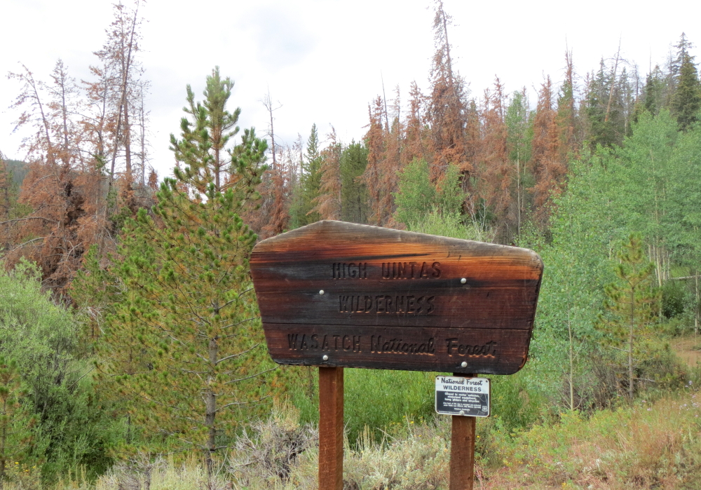
While Mount Nebo to the south is the highest peak in the Wasatch Range, runner up Mt. "Timp" gets most of the attention due to its prominence and proximity to the urban areas of Provo, Orem and of course Salt Lake City. It rises 7000 feet from the valley floor and features a commanding panorama overlooking Utah Lake to the west. The peak also ranks number 20 of the 35 "Great Peaks of the Continent" featured in the 1984 book by Fred Beckey. Kings Peak on the other hand is the tallest peak in the High Unitas and the highpoint of Utah. In contrast to Timp, Kings seemed significantly more remote and isolated. The valleys are broad with large talus plateaus, lonely summits and expansive views looking out over what could be described as a Martian landscape was it not for the meadows and forest down lower in the valleys. Timp was a casual day-trip and Kings was easily dispatched in two. Both offer something unique by Utah standards and give a good overview of the Wasatch and High Unitas mountain ranges. If you happen to find yourself in the area, you'd do well to check them out for yourself!
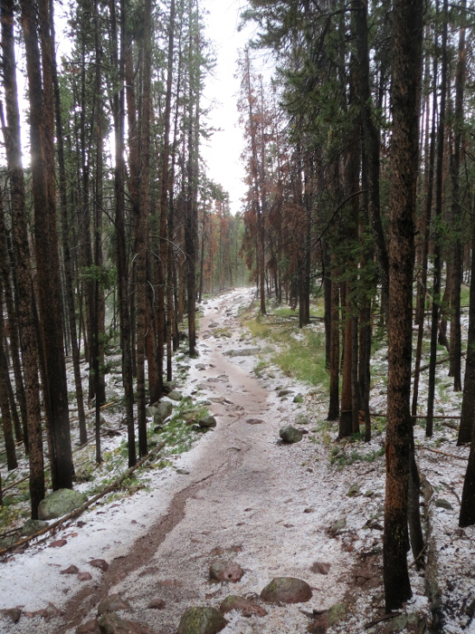
Starting at about 9440 feet, the Henry's Fork Trailhead heads in a southerly direction on a gradual rise for many boring miles through pine forest. The clouds were heavily overcast when I started hiking that morning and the forecast called for thunderstorms and unsettled weather, but in no way did I expect what came next. I was maybe an hour or two into the approach before the rumble of thunder followed by loud claps of lightning began. Intense hail forced me to escape to the trees in a futile attempt to find some sort of shelter. And so there I sat, hunched over and getting pelted by hail with the pines offering little in the way of cover. The hail eventually ceased only to be replaced by heavy rain.
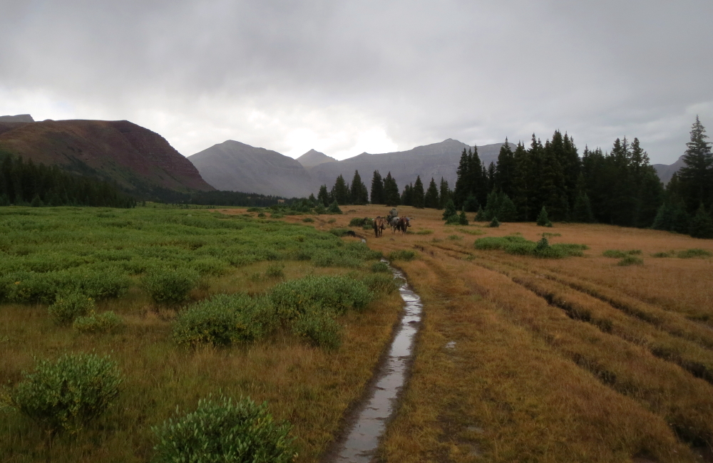
Now thoroughly soaked, I continued up the flooded trail in a steady rain with serious doubts as to what exactly I was doing here in the first place. After about 5.5 miles I finally came across a sign for the Elkhorn Creek crossing/horse ford. Crossing the creek on a log bridge I continued on the flooded trail now out in the open dreading the next round of lightning that was sure to come. I was fortunate to follow the trail back into a stand of trees only moments before the lightning and thunder resumed. I hunkered down in the driest patch of duff beneath the pines that I could find and waited it out. It was about an hour before I felt it safe enough to continue. Ironically, the occasional parties I encountered that day whether on foot or on horseback seemed totally unmoved by the weather behaving as if it were a perfectly normal summer day.
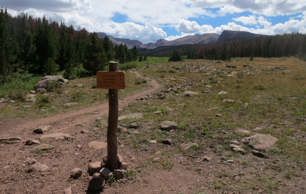
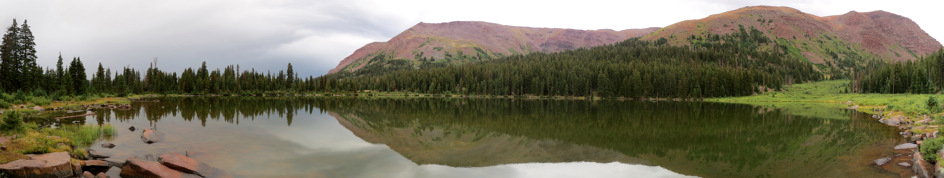
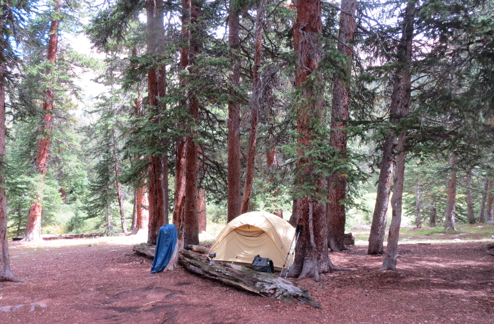
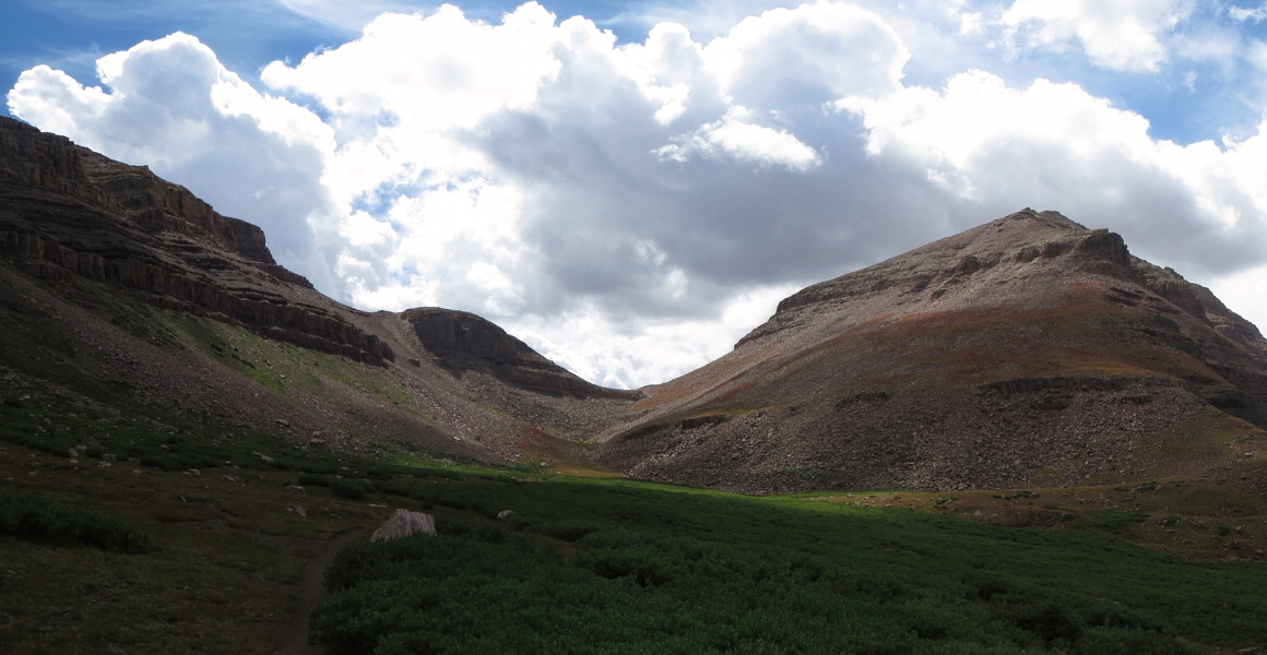
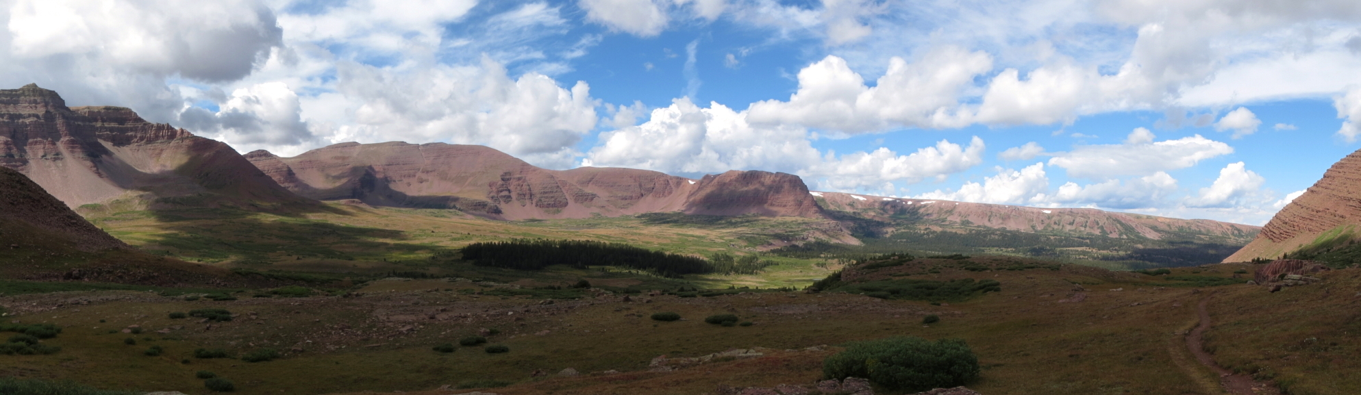
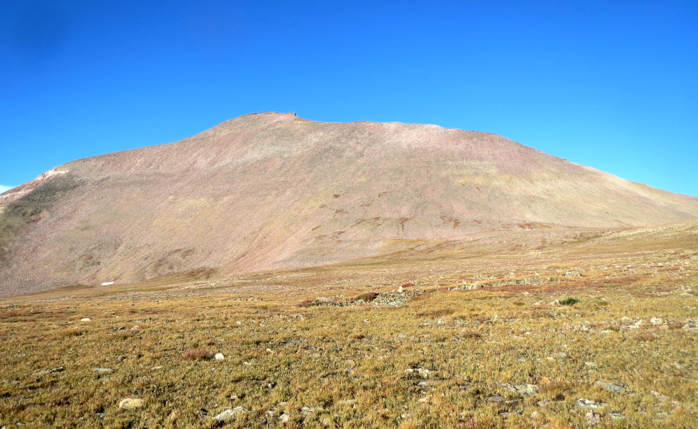
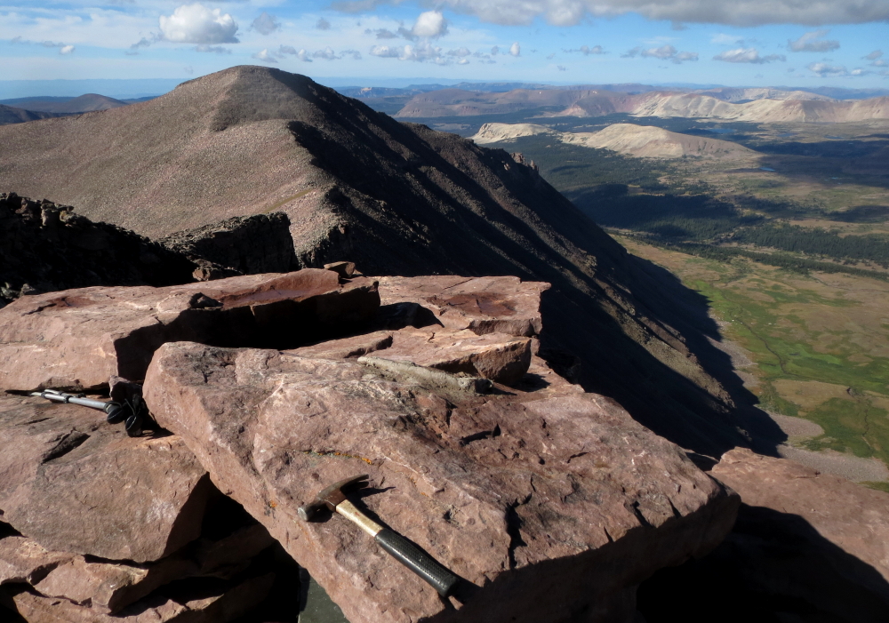
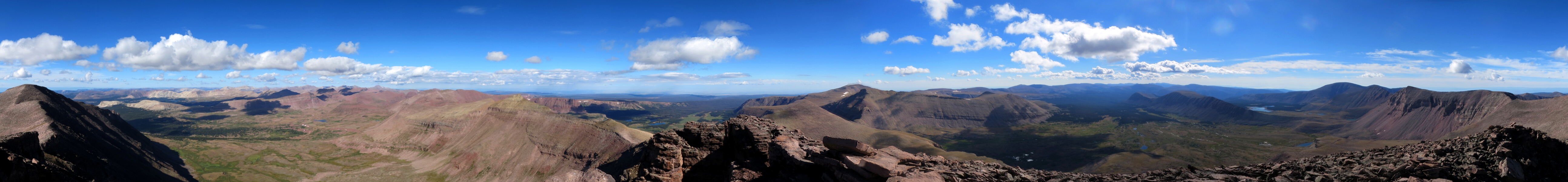
Eventually the thunderstorm subsided and so I continued up, passing the sites near Dollar Lake hopeful for a camp somewhat closer to the peak. I continued up as far as the small tarn just below Gunsight Pass only to realize how exposed a camp here would be, especially now with menacing thunderclouds approaching again from the opposite side of the valley. So back down to Dollar Lake I went and set up camp in the relative shelter of some trees. Despite all-night thunder, lightning and rain, I awoke to blue skies. I made it back up to my high point of the previous day in under an hour, and continued to Gunsight Pass where I stopped for a bite to eat next to an enormous cairn. Rather than continuing on the main trail down the opposite side of Gunsight Pass, I located a path that traverses the slope at right, leading to the headwall guarding the large plateau beneath the west-facing slopes of Gunsight Pass Peak and Kings Peak. A bit of easy scrambling through the headwall leads to the heather and talus plateau with a good view of the enormous talus heap that is Kings Peak.
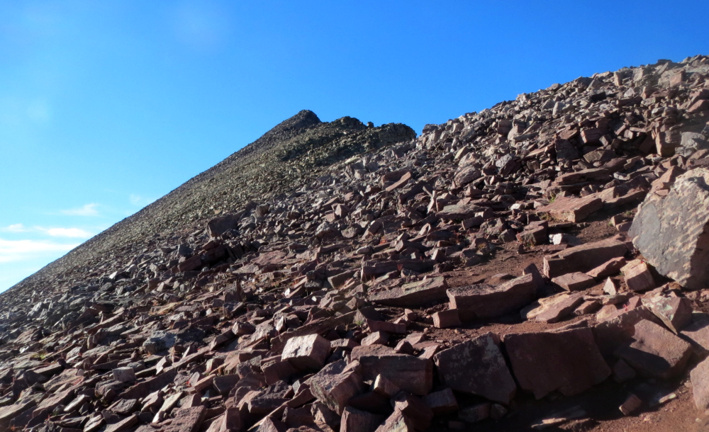
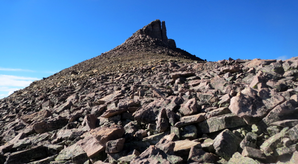
I found it easiest to angle to the left somewhat, losing a bit of elevation and mostly following a heather bench along the plateau rather than traversing directly across endless talus. I soon intersected the pack trail coming up from Painters Basin and followed it most of the way to the North Ridge of Kings Peak. It was mostly tedious boulder hopping especially on the lower North Ridge of Kings. As usual, staying closer to the crest made things more interesting, but the truth is that there's precious little scrambling on this route.
I returned to Dollar Lake, packed-up camp and started the long boring grind back to the trailhead. While I enjoyed warm, sunny weather on the ascent, thunderclouds were already showing signs of reappearing as I left the summit. My final look back at Kings from somewhere north of Dollar Lake confirmed to me that it was to be another afternoon and evening of thunder and lightning. I took comfort in the knowledge that I'd not be spending another sleepless night out here. All in all, Kings is a worthwhile objective that's probably best nabbed as part of a multi-day backpacking trip. The crux appears to be the weather, so it'd be prudent to pack accordingly if planning a trip to these parts.
Click here to view photos.
![]()


