


Guye Peak - South Gully/South Spur, January 2003

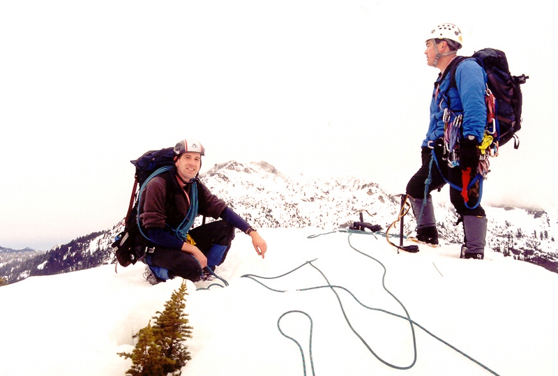
Rather than join the mob on Chair Peak, Paul and I decided on climbing the less technical though still enjoyable South Rib of Guye Peak. We picked up John Mefford in North Bend and continued on our way to Snoqualmie Pass. We made every attempt to shorten our climbing approach as much as possible by driving upwards through the winter chalet community at the foot of the mountain. We parked at a large snowplowed clearing below Guye's West Face (ignoring the obvious no-parking signs) and prepared for the short hike up to the base of the South Rib. We climbed upwards on frozen avalanche debris before traversing right through timber below the Southwest Face.
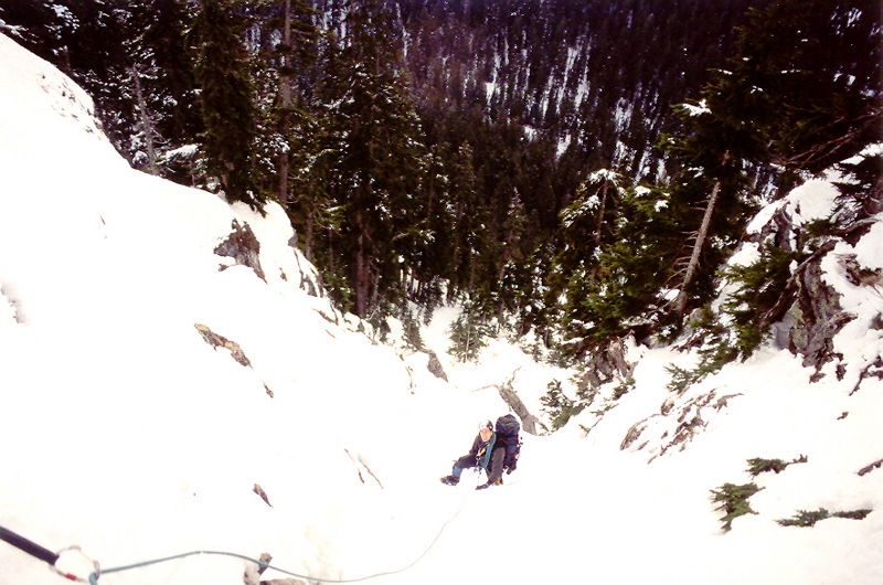
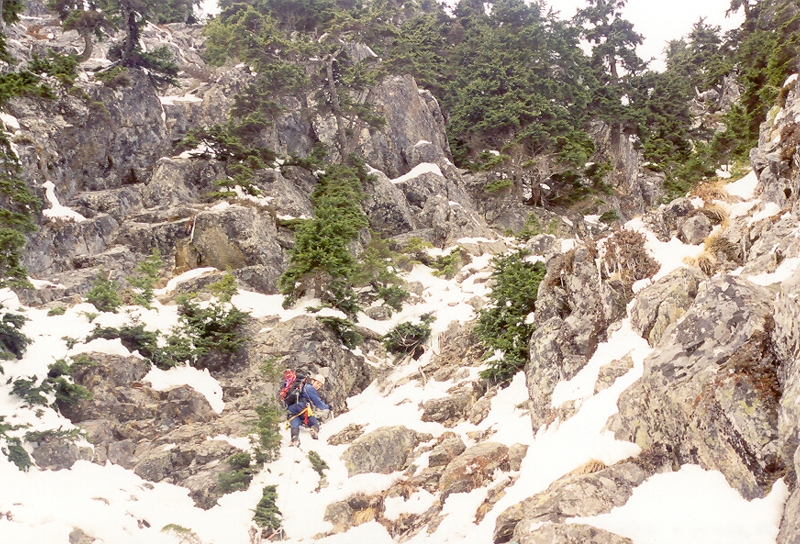
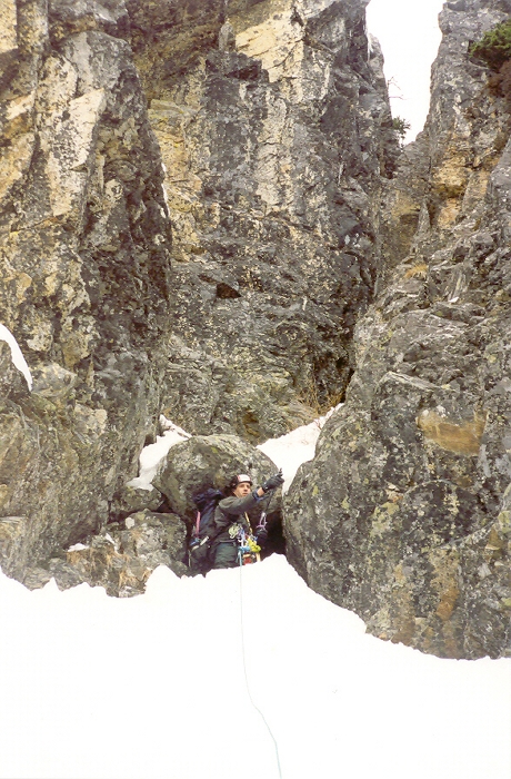
We intended to climb the South Rib route but wound up starting one gully too far east. Also, the sparse snow coverage on the rocky South Rib did not look particularly inviting. I led the first few hundred feet of the snowy/icy gully (class 3/4 mixed climbing with good stemming) until just before the gully narrowed at an overhanging boulder/chockstone at about 4,400ft. Paul then took the lead and attempted to surmount this overhang, but could not due to lack of snow. A 45-degree ramp to the left (west) looked feasible, so Paul climbed up the 50 feet up to the top of this ramp (loose snow over slabby rock...yikes!), but the ramp cliffed out on the left and became a class 5 wall on the right. He wisely dared not to do the necessary class 5.xxx traverse with crampons on (no place to put the downhill foot). Paul then looked over to the east and saw an open-timbered slope that would be easy to use to get 200 feet higher up. He bailed on the 5th class stuff and downclimbed uneasily back to the gully so we could get over to the timbered slope.
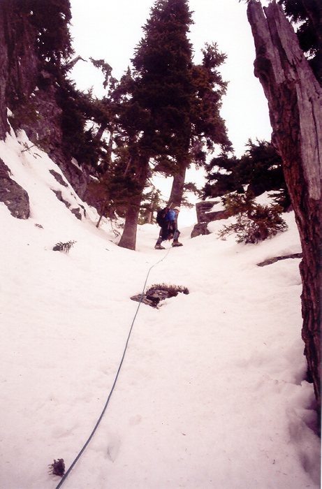
Paul then ascended the slope until it steepened whereupon he made for a big tree to make an anchor. I brought up the rear in this open-timbered section. From there, John led the rest of the way to the summit and down the other side. The gully he started out in was the same gully that we had begun the climb in lower down. It's a good thing Paul was not able to get over the overhang in the gully to continue in it, because it was much harder climbing unseen in there. We basically circumvented the worst part of this gully by going out into the timbered slope to the right. We saw plenty of rappel slings on the way up, so we must have been someplace right.
Including about an hour wasting time routefinding near the overhang, the climb took 1 hour to get from car to gully mouth then four hours to the top. From the true summit, it was easy to get back to the Cave Ridge saddle. At each sub-summit impediment, we descended rightward (eastward) around it and climbed up the next available gully to the ridge crest. Do not go to the west side of the sub-summits. In two more hours we were at the Alpental parking lot. I bummed a ride to retrieve my car and shortly thereafter we were at the lodge having a quaff.
Click here to view photos.
![]()


