


Mount Phelps - South Route, June 2004

Mount Phelps (5535ft) is some 20 miles up the North Fork Snoqualmie River Valley. It is directly east of Seattle and, because of the relatively low elevation of the intervening mountains, forms a dominant feature in the skyline. Commonly mislabeled as McLain Peaks on most maps despite WSBGN and USBGN name-change approval granted in the 1980s, Phelps still seems to suffer from an identity crisis. The peak's prominence combined with the desperate need for Eric and myself to at least get out and climb something, in spite of the certainty of foul weather, resulted in this outing to Phelps. Late May and early June has been a rough period...thunderstorms, tornados and rotten weather both west and east of the crest yielded bouts of spring cleaning at home and a renewed interest in pulling plastic. Whether being rained out at camp below Mt. Stuart's Ice Cliff Glacier or repeated cancellations of climbs in BC's Coast Mountains, I have been reminded of what typical Pacific Northwest springtime weather is usually like (excluding the extreme weather events).
With expectations of precipitation, whiteout and brush, Eric and I rendezvoused at the North Bend Starbucks at 9:00am. Turning left off of East North Bend Way, we proceeded north along Ballarat Ave. N. and drove on paved road for some distance before venturing into a vast, unsightly clear-cut area crisscrossed by countless logging roads. With frequent Thomas Guide consultation stops and some confusion reconciling that with information in Beckey's CAG, we eventually arrived at our destination - the road-end of NF5736, marked by an old log dump near the elusive Blackhawk Mine. Bullet casings and shotgun shells littered the muddy turn-around area, and, sure enough, just as we were about to set out, a pair of Vietnamese gun-enthusiasts pulled up to do a little shootin'.
From where we parked, Eric and I walked back down the road a short distance and located the steep track that leads up to the old mine shaft (just after where a stream crosses the road). From what appeared to be the remnants of the now caved-in mine, we proceeded up and right in brushy forest to end up at the edge of a large clear-cut slope. Not finding any obvious trail through the brush, Eric and I each sought our own path of least resistance until converging on what appeared to be a faint climbers path with occasional flagging and curious looking "bark cairns". The path led us into mature forest beyond the upper margin of the clear-cut slope where the trail and flagging were now easy to follow.
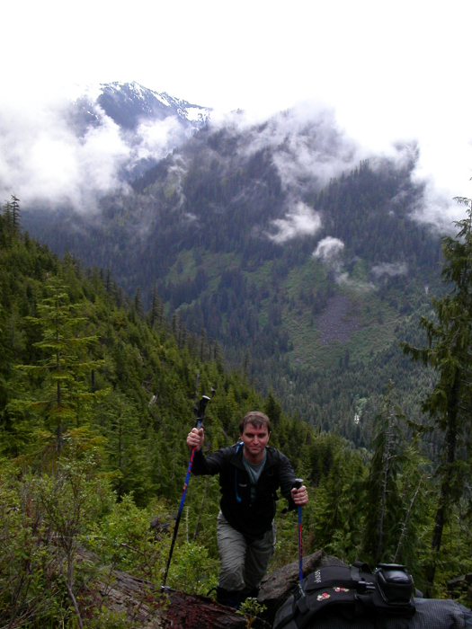
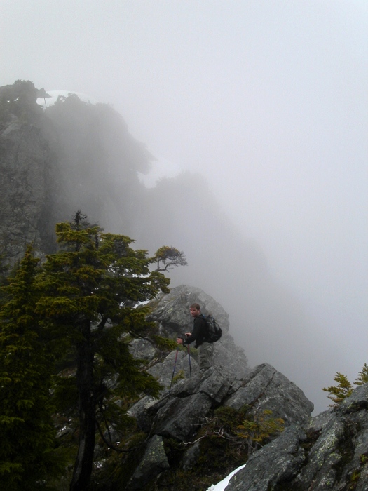
At around 4300 ft we seemed to have lost the trail in snow and simply proceeded to climb upwards, unwittingly approaching the South Gully winter-route briefly mentioned in the CAG. We reached a clearing and the clouds parted momentarily allowing us our first glimpses of Phelps' summit crags. A steep, leftward snow traverse directly below a small 'schrund in the South Gully, with slabs above and a less-than-favorable run out below, had us wishing we had brought our ice axes. We then kicked steps upwards for a few paces before traversing back right into the gully proper. We booted up the steep snow gully to a notch, hoping to not have to reverse this portion of the route on our way back.
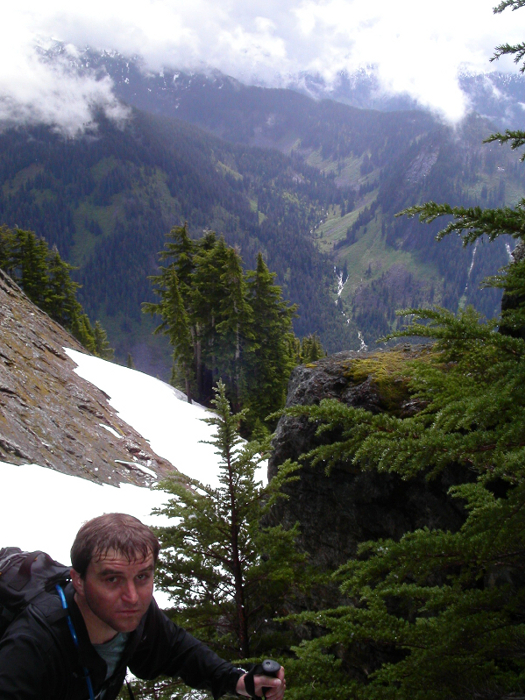
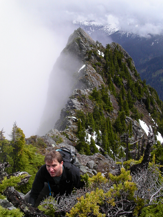
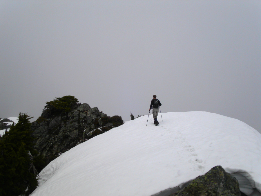
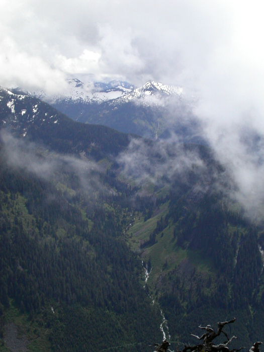
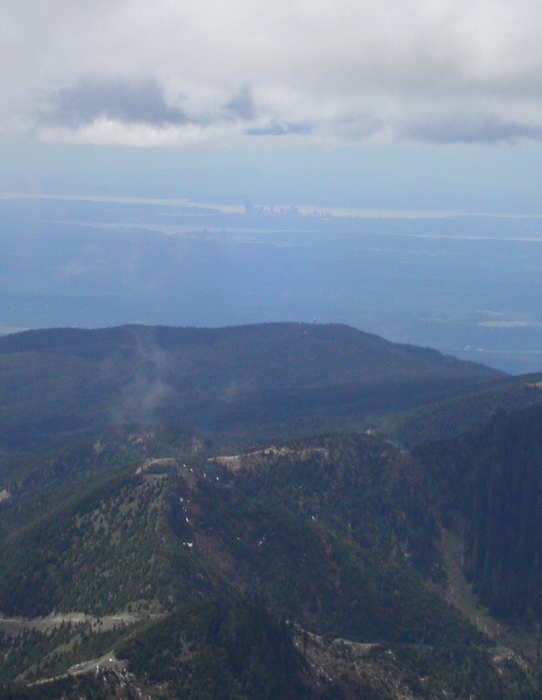
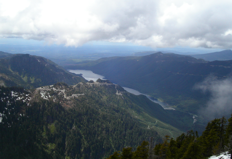
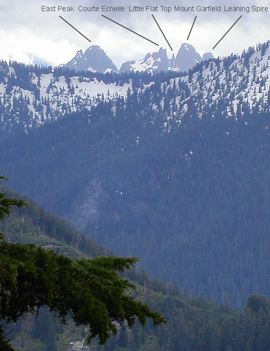
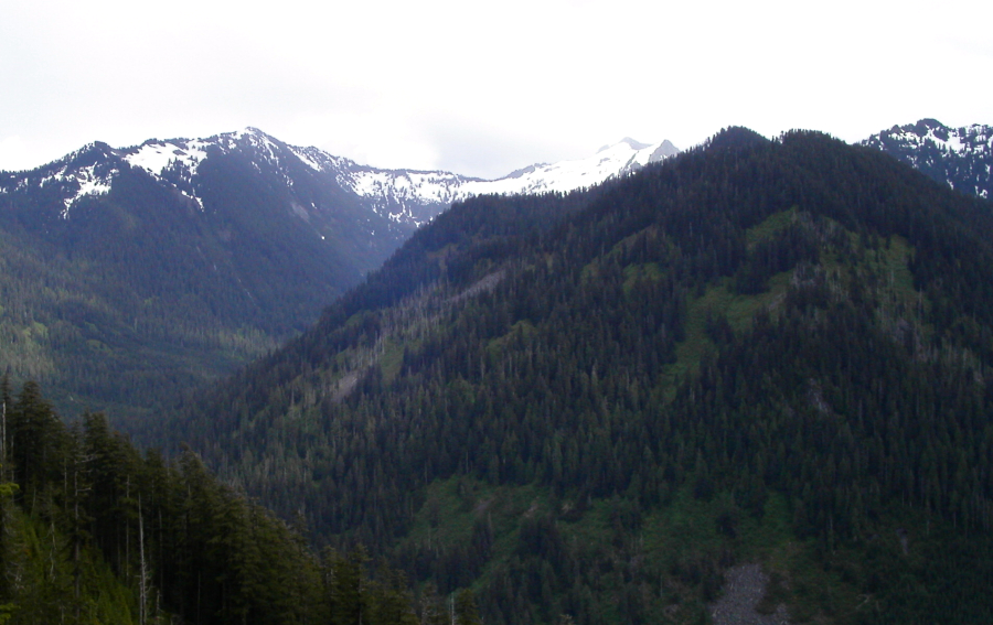
From the notch, we turned right and scrambled towards a rock tower we mistakenly assumed was the summit. We stopped about halfway across and briefly discussed which summit looked higher...was it the narrow rock fin or the snow dome above the gully? The snow dome won out, and, so back across the gully we went, scrambling up a short pitch of mossy rock and scrub evergreens just below the summit. The clouds and occasional sprinkles that had been with us all day showed encouraging signs of dissipating. Views over the Tolt Reservoir and the distant buildings of downtown Bellevue reminded me of my one and only hike up Mount Si so many moons ago. Though clouds obscured most views in all other directions except to the west, Lennox Mountain and its south summit "Canoe Peak" won the local prizes.
After a short snack and scribbles in the summit register, we began the descent. We located a short rocky gully descending Phelps' West Face that showed signs of prior human passage. Rounding a broad corner, we found ourselves following foot prints in the timbered, yet surprisingly still quite snow-covered southwestern slopes. As the slope descended into heavier timber, we avoided brush and cliffy terrain by veering right (west), aiming for the ridge crest that rises above the low saddle between Phelps and Little Phelps (or is it McLain?).
From the saddle, we descended in a southeasterly direction to reach an open, bouldery basin. Crossing the boulder field to its eastern edge, we once again located flagging and the trail that we had lost earlier at precisely the same spot. The descent back to the car, while costing us both two bee stings each, was punctuated by what we would soon learn was thundering hunting rifle and "semi-automatic" M16 fire. Upon seeing us, one of the marksmen looked our way and with an obvious Russian accent blurted out "M16...VIETNAM!", proudly referring to the vintage of his not-so-semi-automatic weapon. There was no sign of our handgun wielding Vietnamese friends from earlier. Not five minutes after we were bouncing along back down the North Fork Road, the skies opened up and unleashed a thorough down pouring. With dark, black clouds looming again to the west, I guess the "improving" weather we experienced on the return from the summit had outlived its welcome. Ahh...lovely Spring...
Click here to view photos.
![]()


