Last Updated: April 17, 2024


Start

Recent content updates are viewable under what's new.

Reports in the queue for posting are coming soon!

Upcoming reports & photos:

Oh my! Quite the backlog here...

  • American Mountain & Mount Lincoln - hike/snowshoe (May 2023)
  • Mount Mclean Attempt, Red Rock Trail, Dragons Back Trail - hike (May 2023)
  • Stawamus Chief (South, Middle & North) - hike/scramble (June 2023)
  • Flint & Feather - hike/scramble (June 2023)
  • Goat Ridge (Squamish) - hike (June 2023)
  • Grouty/Mortar Peaks - hike/scramble (June 2023)
  • Pebble-to-North Creek Traverse incl. Pebble, Thiassi, Wesley & Sugus - hike/scramble (July 2023)
  • Mount Truax - hike/scramble (July 2023)
  • Blackcomb Buttress - rock climb (July 2023)
  • Whitecap Peak - hike/scramble (July 2023)
  • Mount Hanover - hike/scramble (August 2023)
  • The "Long Traverse" incl. Long, Tynemouth, Arrowhead, Tabletop & Anemone - hike/scramble (August 2023)
  • Armchair Traverse - hike/scramble (August 2023)
  • Snowspider Mountain - hike/scramble (September 2023)
  • Mount Trorey - hike/scramble (September 2023)
  • Macleod Peak - hike/scramble (September 2023)
  • Ben Lomond - hike/scramble (September 2023)
  • Mount Killam & Gambier Island - hike (September 2023)
  • Lone Goat & Snow Camp Mountain - hike (September 2023)
  • Isollilock Peak - hike/scramble (October 2023)
  • Manson - Hatfield Traverse - hike/scramble (October 2023)
  • Gargoyles & Columnar Peak - hike/scramble (October 2023)
  • Opal Cone and Lava Glacier - hike (October 2023)
  • Park Butte (WA) - hike (October 2023)
  • Trappers Peak (WA) - hike/scramble (October 2023)
  • Rattlesnake Ledge (WA) - hike (November 2023)
  • Sauk Mountain (WA) - hike (November 2023)
  • Mount Daniel & Pender Hill (Sunshine Coast) - hike (November 2023)
  • Mount Dickerman (WA) - hike (November 2022)
  • Winter's End (Verona Peak) - hike/snowshoe (November 2023)
  • Dolomites (Italy) - snowboarding (December 2023)
  • Red Rock Canyon (NV) - hike (January 2024)
  • Flute & Oboe - split tour (February 2024)
  • Whistler misc. (Train Wreck, Loggers Lake, Shadow Lake etc.) - hike (February 2024)
  • Mount Underhill - hike (March 2024)
  • Bombtram Mountain - hike/snowshoe (March 2024)
  • Steep Peak - split tour (March 2024)
  • Ruby Mountain (WA) - hike/snowshoe (April 2024)
  • Blustry Mountain - hike (April 2024)
  • Sowerby Peak (Barr East) - hike (April 2024)

*As of 04/21/2024


Database

Query the reports database, selecting from criteria which include name, location, type, season etc.

Quick Links

Essential links & whatnot:


Jump To

Select from list below to jump to a specific area on this site.


| Featured Trip Report |


Last Updated: Nov. 27, 2003

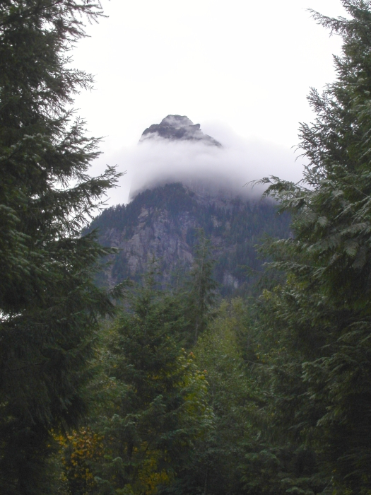
Mount Baring - Northwest Ridge, October 2003


Just east of the town of Baring, its twin towers rising high above the north side of highway 2, Mount Baring is hard not to notice. The highest and most easily attained of the two summits, the North Peak (6125'), features an easy scrambling route and also rock routes of great technical difficulty. The epic story of the struggle to make the first ascent on the North Face is detailed in the Cascade Alpine Guide and is ultimately what spurred my interest in visiting the mountain.

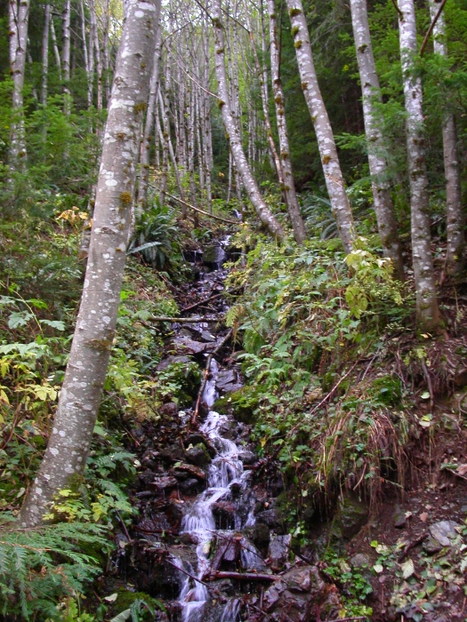
After negotiating a small washout on the Barclay Lake Road, I proceeded up to the Barclay Lake Trailhead without further issues (a day earlier, this would not have been possible as the road was allegedly submerged under a foot of water). From the parking area, follow the upper overgrown road/trail to the trailhead toilet (not the Barclay Lake Trail) and beyond, until reaching a large cairn. From the cairn, turn right, and follow the steep, brushy and damp trail as it parallels a mossy streambed. The trail continues steeply through dense forest, before reaching the timbered crest of the Northwest Ridge.

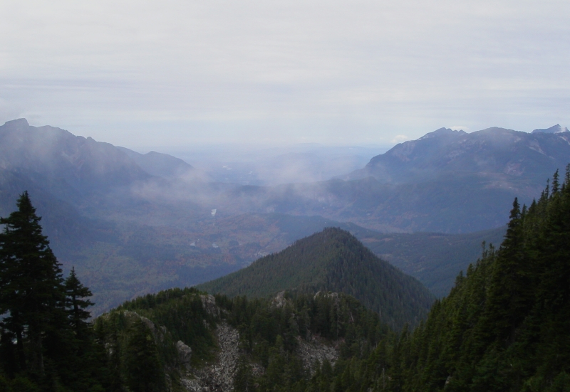
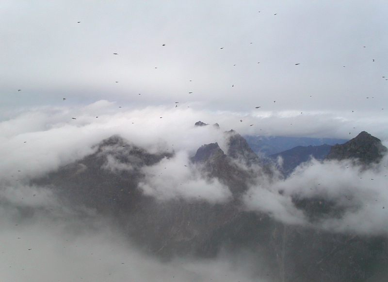
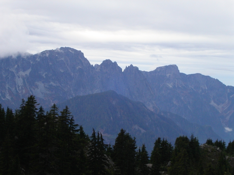
Turning left, follow the ridge-trail southeast, descending on the south side (right) of the ridge for a bit, before climbing back up on a steep duff slope to gain a saddle above a small basin. Descend into the basin (stay left on trail where possible), aiming for the obvious gully leading to the summit gap. From the summit gap, turn left and ascend a short, steep slope to a small plateau below the summit block. Scramble easily to the summit and snap a few pictures before the threatening clouds settle in for good (2.5 hours from car). Many variations possible - scrambling on a small rocky ridge on the NE side provides an easy but exposed sampling of the North Face. From the summit, descend low-angle slabs to the SW, and traverse back left to the small plateau. Retrace your footsteps back down to the car and try to enjoy the steep, slick trail back down from the ridge.

Click here to view photos.
home | email | copyright

All photos and text for sverdina.com are copyright © 2002-2024

It would be very much appreciated if you please ask before copying and/or re-publishing content from any part of these pages. To do so, please click here to send a message via feedback form.

Thank You.

©2024 sverdina.com |