Last Updated: March 4, 2023


Start

Recent content updates are viewable under what's new.

Reports in the queue for posting are coming soon!

Upcoming reports & photos:

Oh my! Quite the backlog here. Busy with life and adding to the queue every chance I get...

  • Flute & Oboe - ski tour (March 2022)
  • Suicide Bluffs - snowshoe (April 2022)
  • Slalok Mountain - ski tour (April 2022)
  • Dam Mountain, Little Goat, Thunderbird Ridge - snowshoe (May 2022)
  • Leading Peak - hike/scramble (June 2022)
  • Camelshoof Mountain - hike (June 2022)
  • Askom Mountain - hike (June 2022)
  • Metal Dome - hike (July 2022)
  • Mount Sproatt - hike (July 2022)
  • Mission Ridge/Peak - hike (July 2022)
  • Harris Ridge & Nea Peak - hike (July 2022)
  • Three Brothers Mountain - hike (July 2022)
  • Zupjok, Llama & Alpaca Peaks - hike (July 2022)
  • Shulaps Mountain - hike/scramble (August 2022)
  • Mount Sheer & Ben More - hike/scramble (August 2022)
  • Cathedral Mountain - hike/scramble (August 2022)
  • Mount Penrose - hike/scramble (August 2022)
  • Caltha Peak - hike/scramble (September 2022)
  • Beauty Peak - hike (September 2022)
  • Markhor-Needle Traverse & Flatiron - hike/scramble (September 2022)
  • Conway Peak - hike (September 2022)
  • Green Mountain/Pk 2200 - hike/scramble (September 2022)
  • Mount Brew (Whistler) - hike (September 2022)
  • Mount Barbour - hike/scramble (October 2022)
  • Mount Gillespie - hike/scramble (October 2022)
  • Cougar Mountain - hike/scramble (October 2022)
  • Barn Bluff (Red Wing, MN) - hike (October 2022)
  • Mount Steele - hike/snowshoe (November 2022)
  • Hunter Lookout - hike (November 2022)
  • Belcarra Mountain - hike (November 2022)
  • Oyster Dome - hike (November 2022)
  • Mount Thom & Cilliwack Mountain/Hillkeep - hike (December 2022)
  • Frenchman Mountain (Las Vegas, NV) - hike (January 2023)
  • Rolley Peak/Lookout - hike (January 2023)
  • Round Mountain - ski tour (February 2023)
  • Blowdown Peak - ski tour (February 2023)
  • Silverdaisy Mountain - ski tour (March 2023)

*As of 03/07/2023


Database

Query the reports database, selecting from criteria which include name, location, type, season etc.

Quick Links

Essential links & whatnot:


Jump To

Select from list below to jump to a specific area on this site.


| Featured Trip Report |


Last Updated: Nov. 6, 2012

Mount Jackson - Northeast Ridge, August 2012
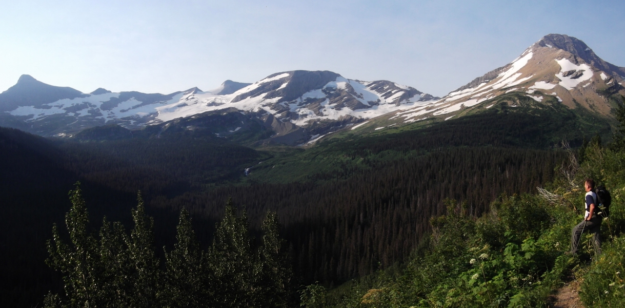
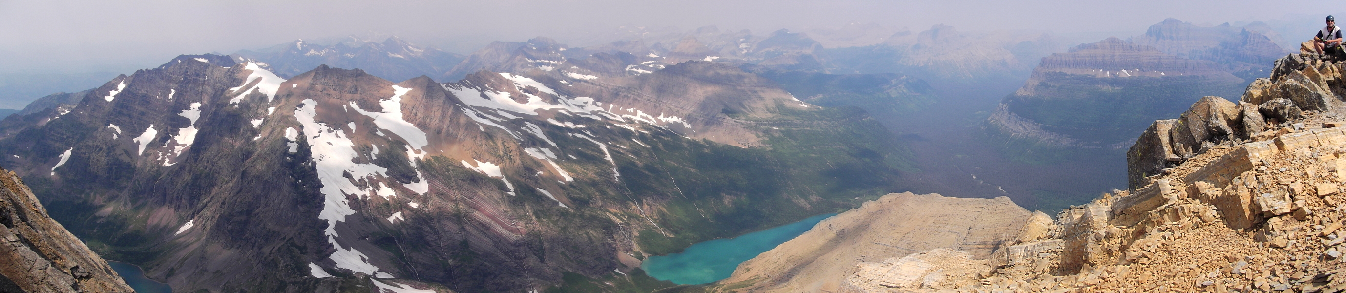


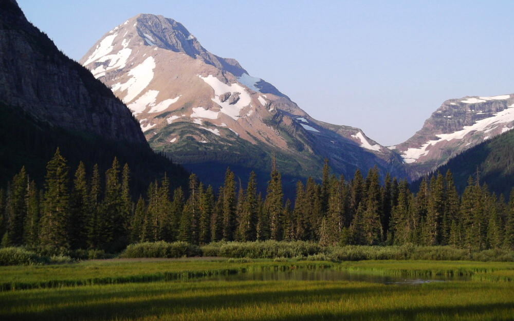
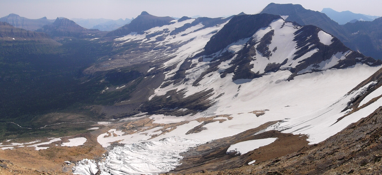
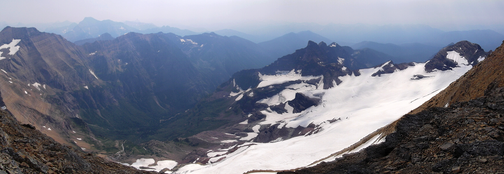
The fourth tallest peak in Glacier National Park, 10,052 ft Mount Jackson is both easily seen from the Going-to-the-Sun Road and cradles what may be the largest remaining glacier in the park - Harrison Glacier. Jackson is the only 10'er in Glacier situated on the Continental Divide, which as some suggest implies that the term "Crown of the Continent" was coined by George Bird Grinnell to describe the peak itself. In any case, it was Grinnell who named Mount Jackson in the first place, so it doesn't seem all that far fetched to me. Naming rights aside, it is unclear who first climbed the mountain though a familiar name once again appears in the list of earliest recorded parties. Like Mount Cleveland to the north Frank B. Wynn, this time joined by his son James, climbed Jackson in August, 1912.

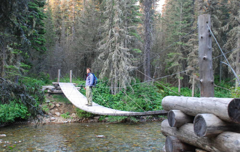
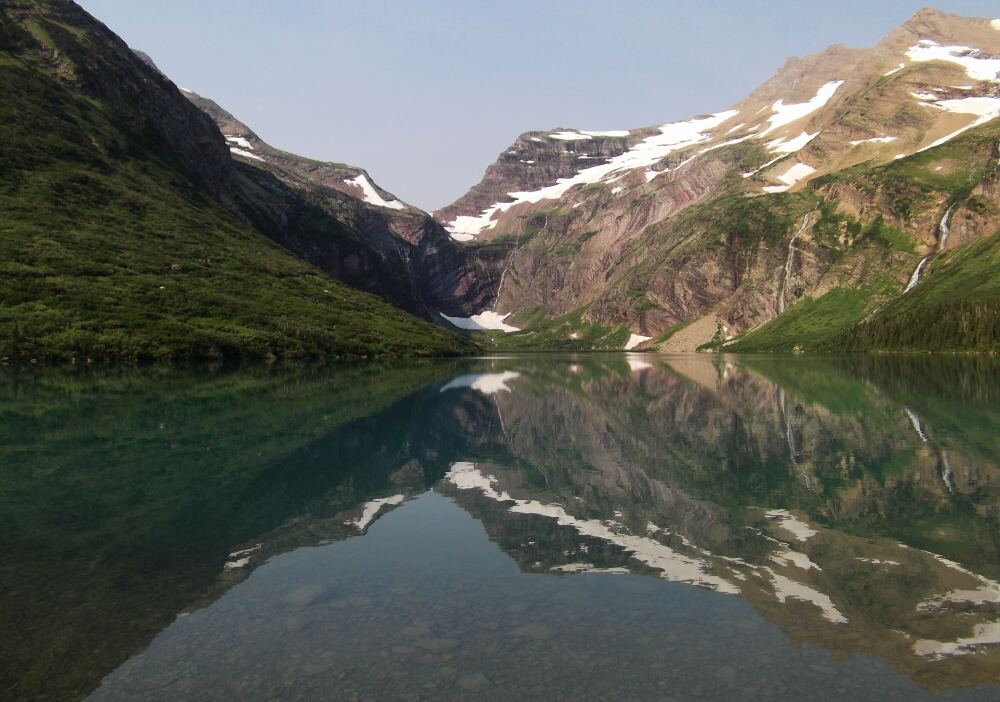
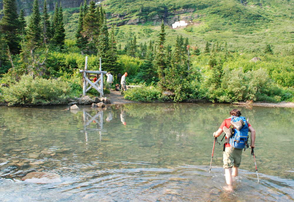
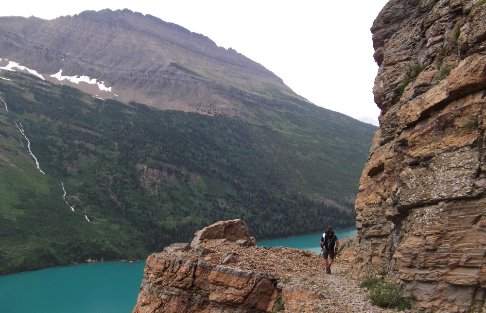
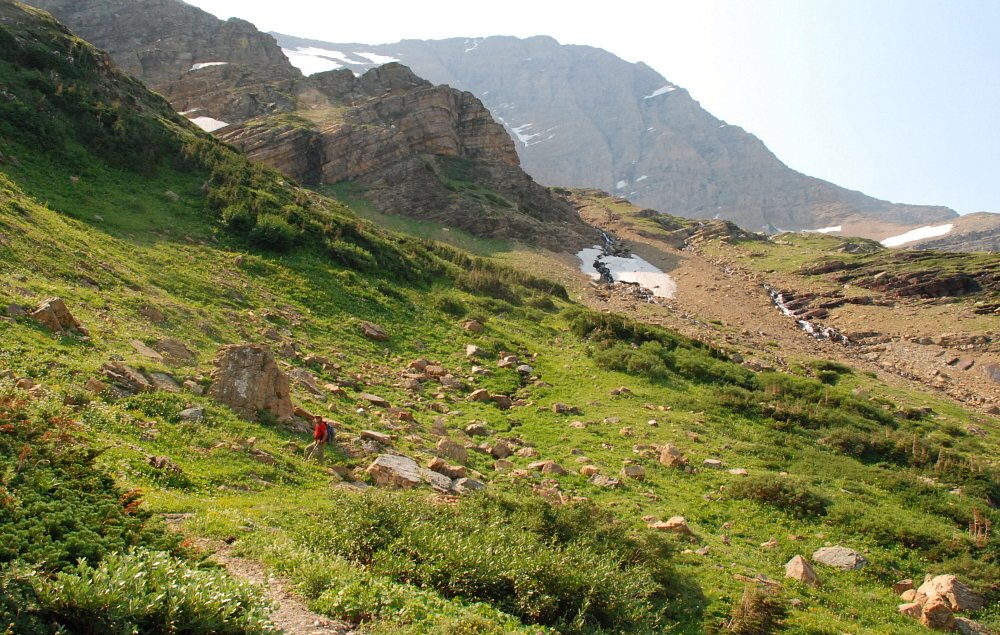
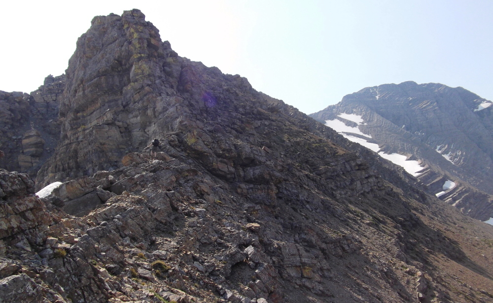
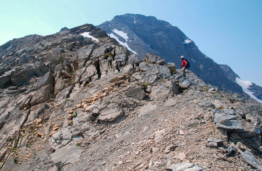
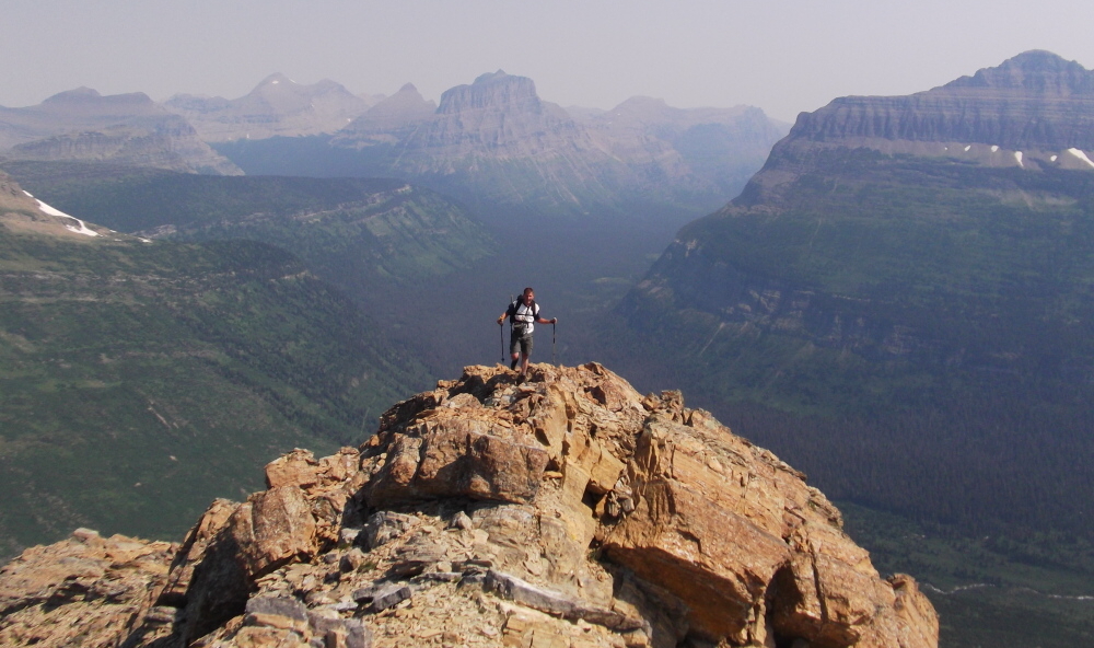
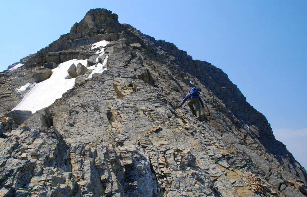
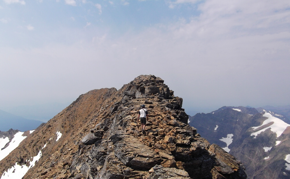
7.5 trail miles plus an additional 2.5 off-trail miles lie between the trailhead (at the Jackson Glacier Overlook) and Mt. Jackson's summit. Paul and I had hoped to climb the peak starting from a camp at Gunsight Lake, however given the predictabe lack of available camping permits we decided to make a day trip of it. Our route, the Northeast Ridge, is probably the most aesthetic of the routes on Jackson but doesn't change the fact that it is a long, tedious and often loose grind to the summit no matter which way one goes. We 'enjoyed' all of 5 minutes up on top thanks to what appeared to be rapidly-growing thunderclouds (which never materialized) in the smoky air that surrounded us and quickly turned back to descend the way we came. Changing to running shoes for the trail hike back to the car certainly spared my feet from much pain and suffering, but I think I speak for the both of us in saying that I could have done without that final crippling mile back UP to the trailhead! (more...)

Click here to view photos.
home | email | copyright

All photos and text for sverdina.com are copyright © 2002-2023

It would be very much appreciated if you please ask before copying and/or re-publishing content from any part of these pages. To do so, please click here to send a message via feedback form.

Thank You.

©2023 sverdina.com |