Last Updated: April 17, 2024


Start

Recent content updates are viewable under what's new.

Reports in the queue for posting are coming soon!

Upcoming reports & photos:

Oh my! Quite the backlog here...

  • American Mountain & Mount Lincoln - hike/snowshoe (May 2023)
  • Mount Mclean Attempt, Red Rock Trail, Dragons Back Trail - hike (May 2023)
  • Stawamus Chief (South, Middle & North) - hike/scramble (June 2023)
  • Flint & Feather - hike/scramble (June 2023)
  • Goat Ridge (Squamish) - hike (June 2023)
  • Grouty/Mortar Peaks - hike/scramble (June 2023)
  • Pebble-to-North Creek Traverse incl. Pebble, Thiassi, Wesley & Sugus - hike/scramble (July 2023)
  • Mount Truax - hike/scramble (July 2023)
  • Blackcomb Buttress - rock climb (July 2023)
  • Whitecap Peak - hike/scramble (July 2023)
  • Mount Hanover - hike/scramble (August 2023)
  • The "Long Traverse" incl. Long, Tynemouth, Arrowhead, Tabletop & Anemone - hike/scramble (August 2023)
  • Armchair Traverse - hike/scramble (August 2023)
  • Snowspider Mountain - hike/scramble (September 2023)
  • Mount Trorey - hike/scramble (September 2023)
  • Macleod Peak - hike/scramble (September 2023)
  • Ben Lomond - hike/scramble (September 2023)
  • Mount Killam & Gambier Island - hike (September 2023)
  • Lone Goat & Snow Camp Mountain - hike (September 2023)
  • Isollilock Peak - hike/scramble (October 2023)
  • Manson - Hatfield Traverse - hike/scramble (October 2023)
  • Gargoyles & Columnar Peak - hike/scramble (October 2023)
  • Opal Cone and Lava Glacier - hike (October 2023)
  • Park Butte (WA) - hike (October 2023)
  • Trappers Peak (WA) - hike/scramble (October 2023)
  • Rattlesnake Ledge (WA) - hike (November 2023)
  • Sauk Mountain (WA) - hike (November 2023)
  • Mount Daniel & Pender Hill (Sunshine Coast) - hike (November 2023)
  • Mount Dickerman (WA) - hike (November 2022)
  • Winter's End (Verona Peak) - hike/snowshoe (November 2023)
  • Dolomites (Italy) - snowboarding (December 2023)
  • Red Rock Canyon (NV) - hike (January 2024)
  • Flute & Oboe - split tour (February 2024)
  • Whistler misc. (Train Wreck, Loggers Lake, Shadow Lake etc.) - hike (February 2024)
  • Mount Underhill - hike (March 2024)
  • Bombtram Mountain - hike/snowshoe (March 2024)
  • Steep Peak - split tour (March 2024)
  • Ruby Mountain (WA) - hike/snowshoe (April 2024)
  • Blustry Mountain - hike (April 2024)
  • Sowerby Peak (Barr East) - hike (April 2024)

*As of 04/21/2024


Database

Query the reports database, selecting from criteria which include name, location, type, season etc.

Quick Links

Essential links & whatnot:


Jump To

Select from list below to jump to a specific area on this site.


| Featured Trip Report |


Last Updated: Oct. 19, 2014

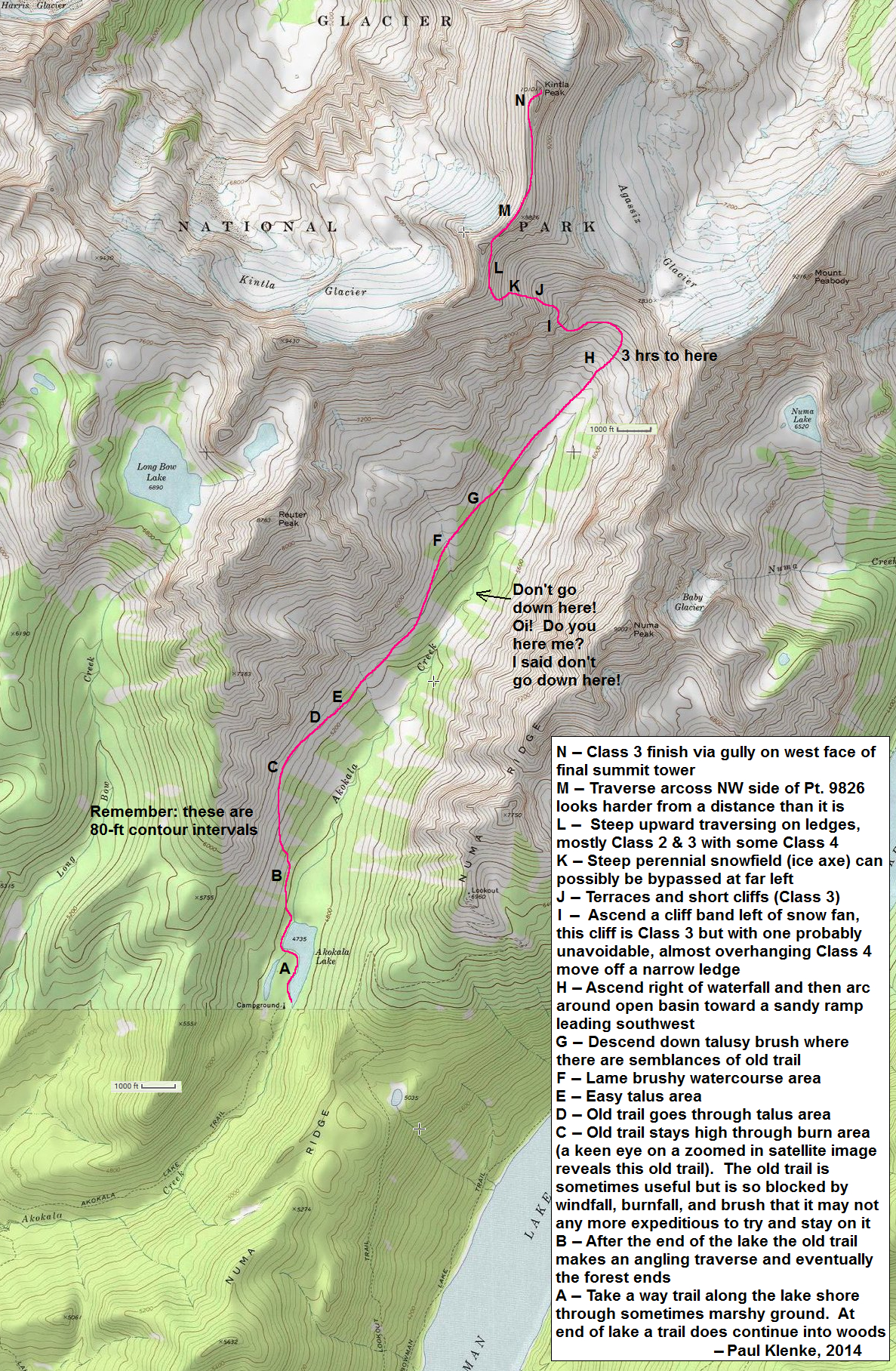
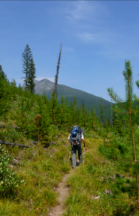
Kintla Peak - South Ridge (via Akokala Lake), August 2014


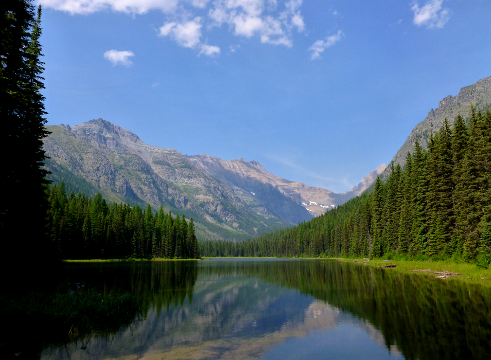
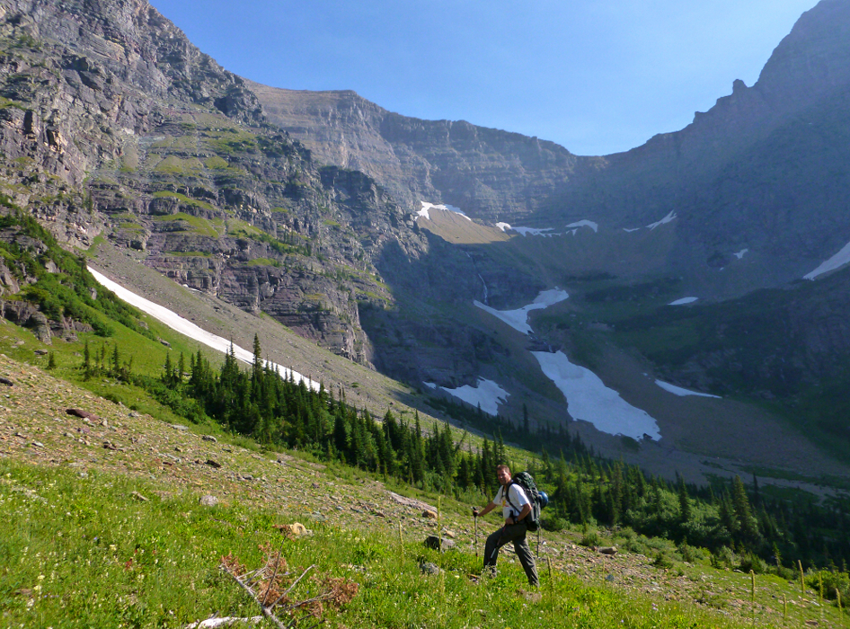
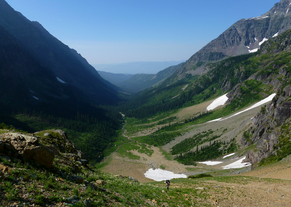
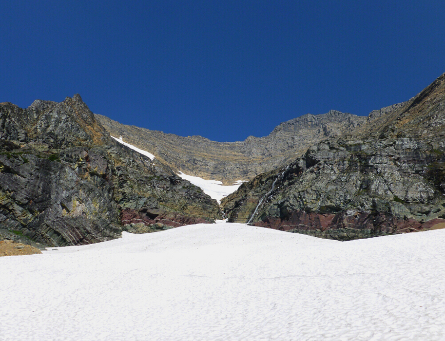
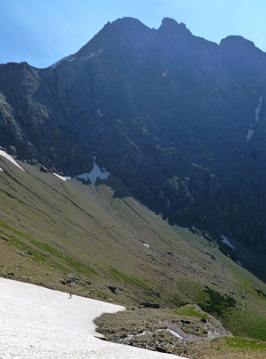
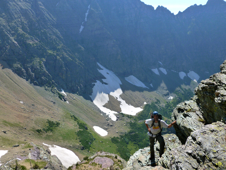
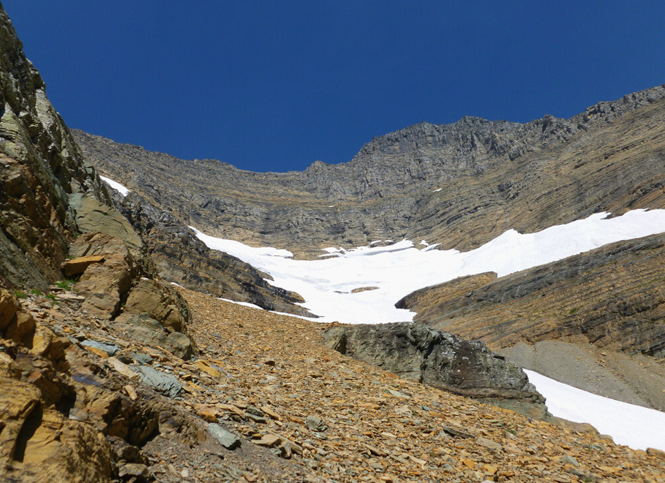
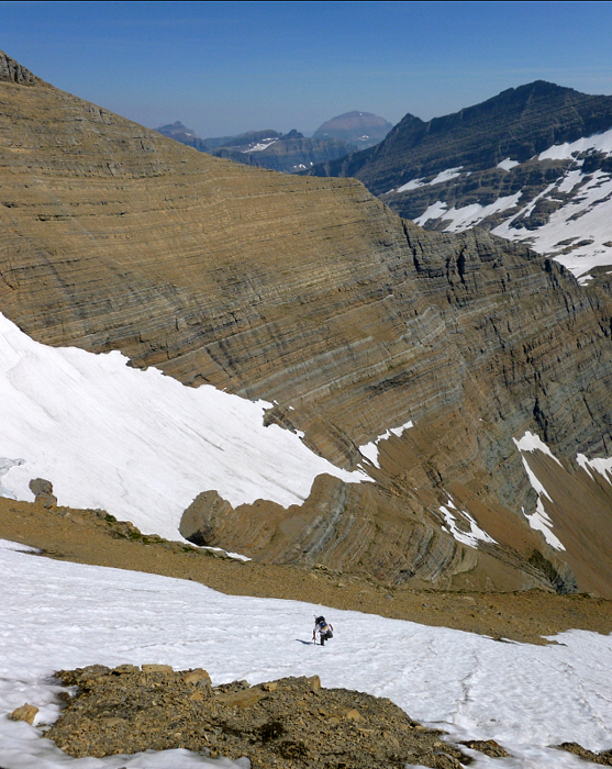
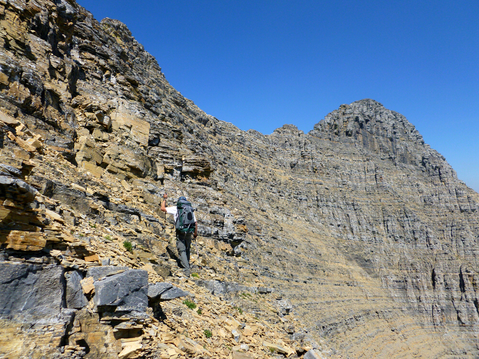
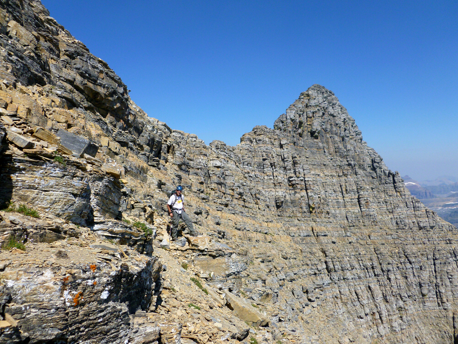
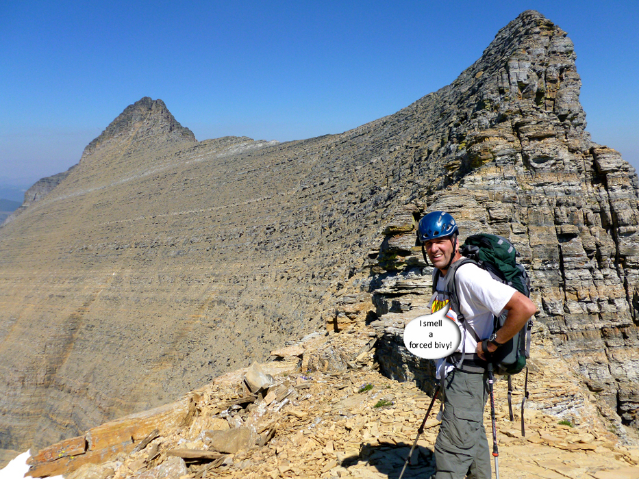
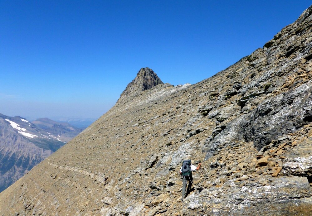
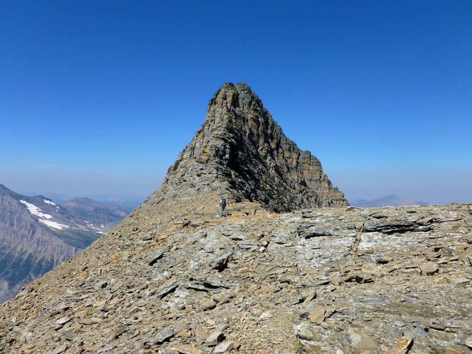
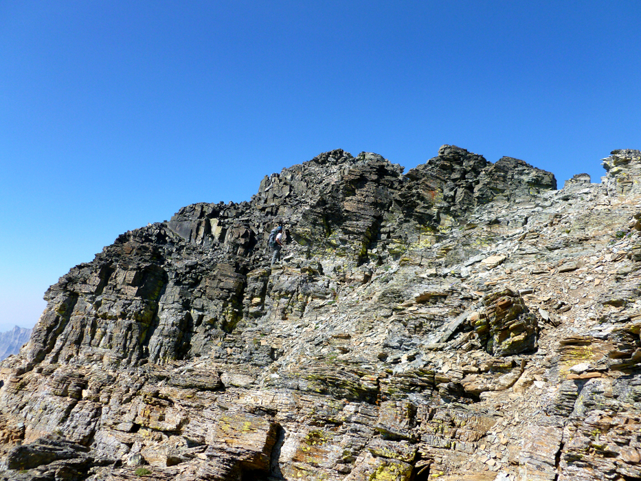
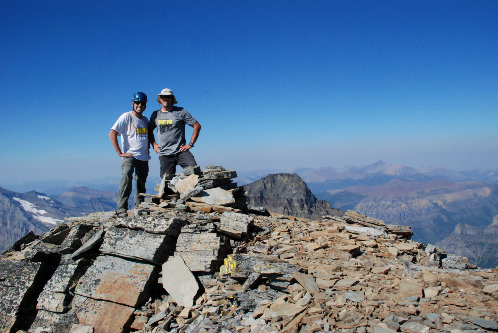
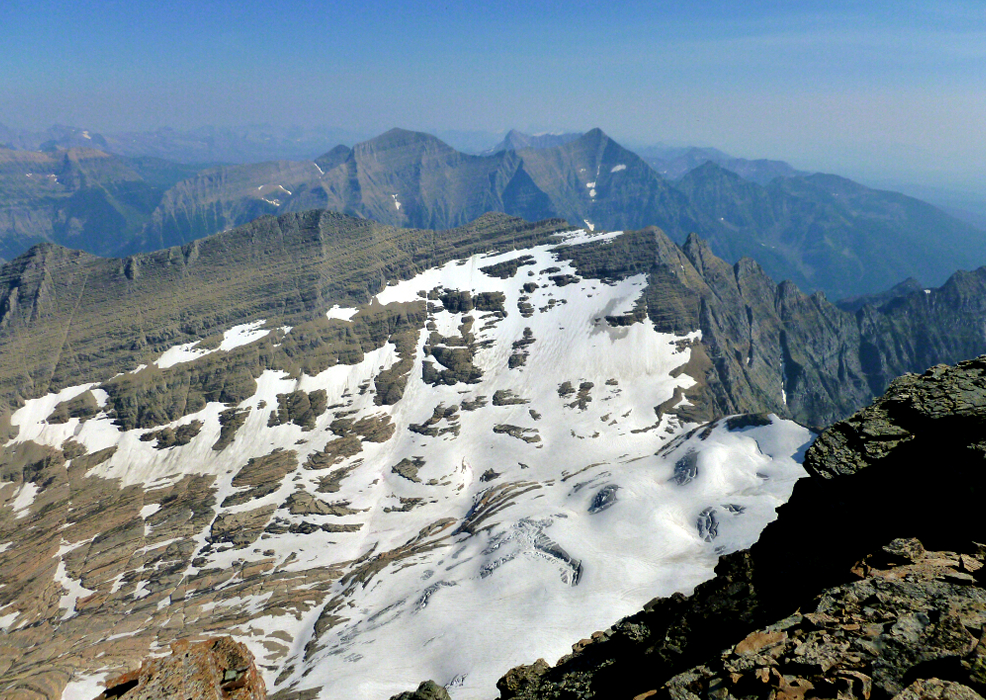
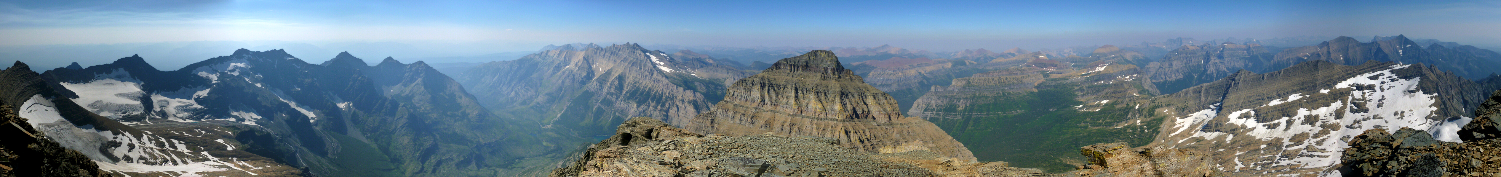
Kintla peak is the highest point in the Northern Livingston Range and the third tallest in Glacier National Park. The standard approach and route is for most mortals a 4-day trip either from the west via Kintla Lake or from the northeast via Waterton National Park in Alberta, Canada. However, having found a report online describing a long day-trip via a relatively unknown but significantly shorter approach from the WSW, we figured we'd go try some variation of that route ourselves. While this so-called Akokala Lake route (map...) is shorter, it isn't well travelled and entails brushy cross-country travel to the reach the head of the valley from where we hoped to find a route past a series of potentially troublesome cliffs and headwalls. We secured a permit for one night at Akokala Lake (6 miles, all trail) and from where we would make our summit attempt the next morning. We figured we'd either hike out after returning the next afternoon, or if it came down to it just camp another night by the lake sans permit.

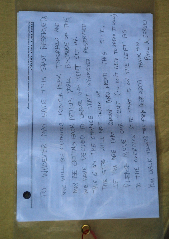
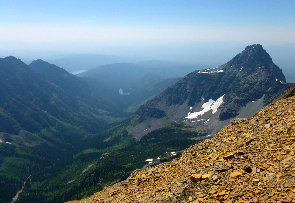
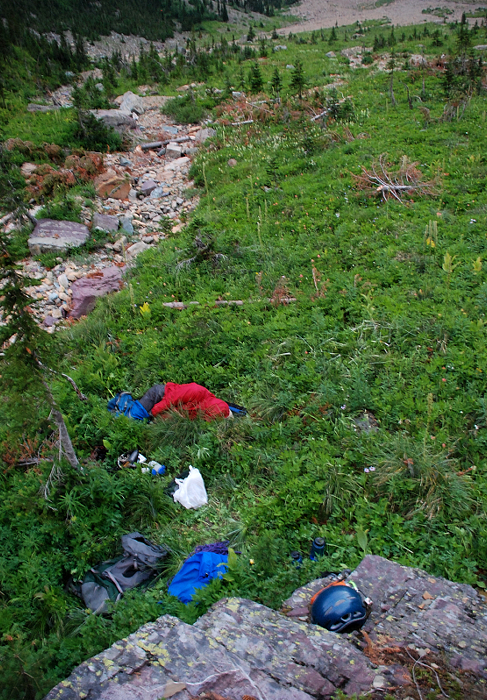
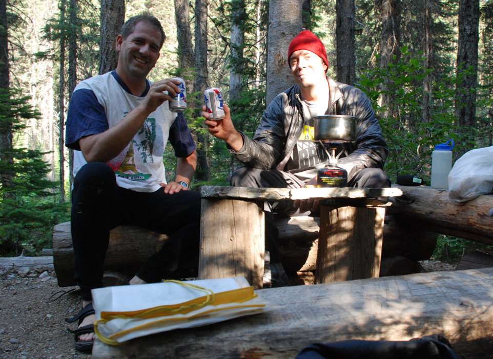
In the end, we succeeded in climbing Kintla via this route but it took longer than expected and darkness descended on us by the time we made it back to the upper basin at the head of the valley. It was a rather circuitous route with lots of route finding challenges. Dealing with all that ate up much of the day. From the head of the valley, about 3 miles of cross country bushwhacking stood between us and camp at Akokala Lake - an impossible task in the dark, and so we resigned ourselves to a night out in the open. Fortunately it had been a warm day and evening, so it wasn't that bad of a night curled up in fetal position attempting to 'sleep' in the meadow. If anyone's counting, this is now my third unplanned bivouac. We finished the bushwhack back to camp the next morning, ate the food we didn't get to eat the previous night and retired to the tent for a couple hours of sleep. We then packed up camp later that afternoon and hiked the easy 6 miles back to the trailhead. (more...)

Click here to view photos.
home | email | copyright

All photos and text for sverdina.com are copyright © 2002-2024

It would be very much appreciated if you please ask before copying and/or re-publishing content from any part of these pages. To do so, please click here to send a message via feedback form.

Thank You.

©2024 sverdina.com |