Last Updated: April 17, 2024


Start

Recent content updates are viewable under what's new.

Reports in the queue for posting are coming soon!

Upcoming reports & photos:

Oh my! Quite the backlog here...

  • American Mountain & Mount Lincoln - hike/snowshoe (May 2023)
  • Mount Mclean Attempt, Red Rock Trail, Dragons Back Trail - hike (May 2023)
  • Stawamus Chief (South, Middle & North) - hike/scramble (June 2023)
  • Flint & Feather - hike/scramble (June 2023)
  • Goat Ridge (Squamish) - hike (June 2023)
  • Grouty/Mortar Peaks - hike/scramble (June 2023)
  • Pebble-to-North Creek Traverse incl. Pebble, Thiassi, Wesley & Sugus - hike/scramble (July 2023)
  • Mount Truax - hike/scramble (July 2023)
  • Blackcomb Buttress - rock climb (July 2023)
  • Whitecap Peak - hike/scramble (July 2023)
  • Mount Hanover - hike/scramble (August 2023)
  • The "Long Traverse" incl. Long, Tynemouth, Arrowhead, Tabletop & Anemone - hike/scramble (August 2023)
  • Armchair Traverse - hike/scramble (August 2023)
  • Snowspider Mountain - hike/scramble (September 2023)
  • Mount Trorey - hike/scramble (September 2023)
  • Macleod Peak - hike/scramble (September 2023)
  • Ben Lomond - hike/scramble (September 2023)
  • Mount Killam & Gambier Island - hike (September 2023)
  • Lone Goat & Snow Camp Mountain - hike (September 2023)
  • Isollilock Peak - hike/scramble (October 2023)
  • Manson - Hatfield Traverse - hike/scramble (October 2023)
  • Gargoyles & Columnar Peak - hike/scramble (October 2023)
  • Opal Cone and Lava Glacier - hike (October 2023)
  • Park Butte (WA) - hike (October 2023)
  • Trappers Peak (WA) - hike/scramble (October 2023)
  • Rattlesnake Ledge (WA) - hike (November 2023)
  • Sauk Mountain (WA) - hike (November 2023)
  • Mount Daniel & Pender Hill (Sunshine Coast) - hike (November 2023)
  • Mount Dickerman (WA) - hike (November 2022)
  • Winter's End (Verona Peak) - hike/snowshoe (November 2023)
  • Dolomites (Italy) - snowboarding (December 2023)
  • Red Rock Canyon (NV) - hike (January 2024)
  • Flute & Oboe - split tour (February 2024)
  • Whistler misc. (Train Wreck, Loggers Lake, Shadow Lake etc.) - hike (February 2024)
  • Mount Underhill - hike (March 2024)
  • Bombtram Mountain - hike/snowshoe (March 2024)
  • Steep Peak - split tour (March 2024)
  • Ruby Mountain (WA) - hike/snowshoe (April 2024)
  • Blustry Mountain - hike (April 2024)
  • Sowerby Peak (Barr East) - hike (April 2024)

*As of 04/21/2024


Database

Query the reports database, selecting from criteria which include name, location, type, season etc.

Quick Links

Essential links & whatnot:


Jump To

Select from list below to jump to a specific area on this site.


| Latest Posts |


Monday, November 22, 2020

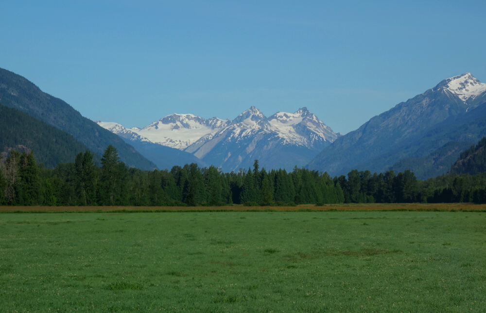
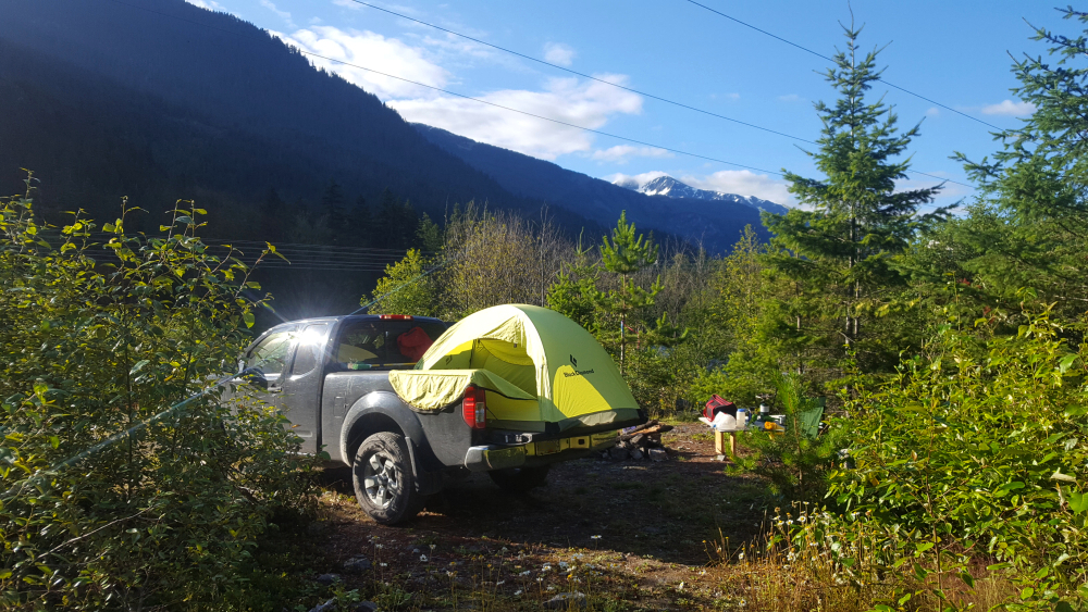
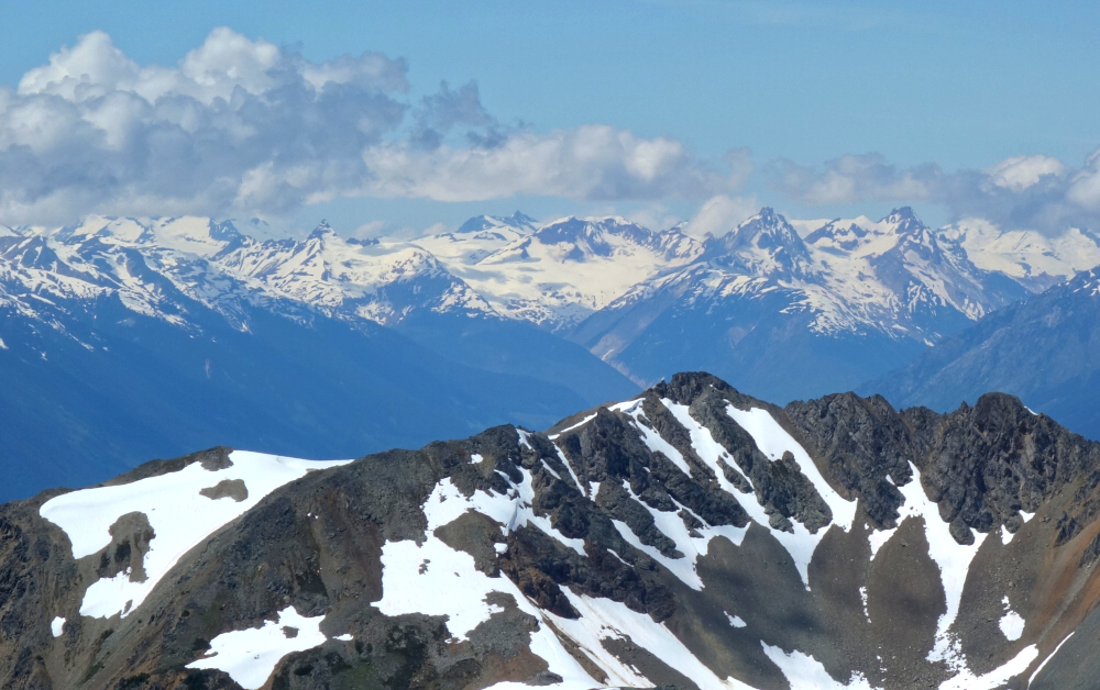
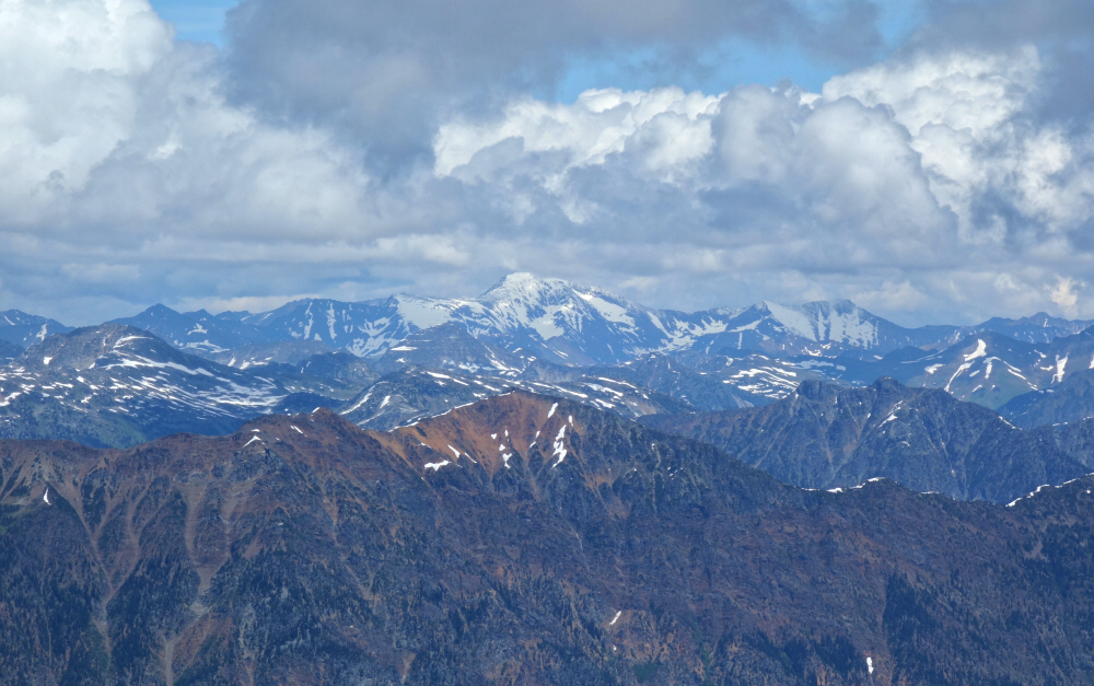
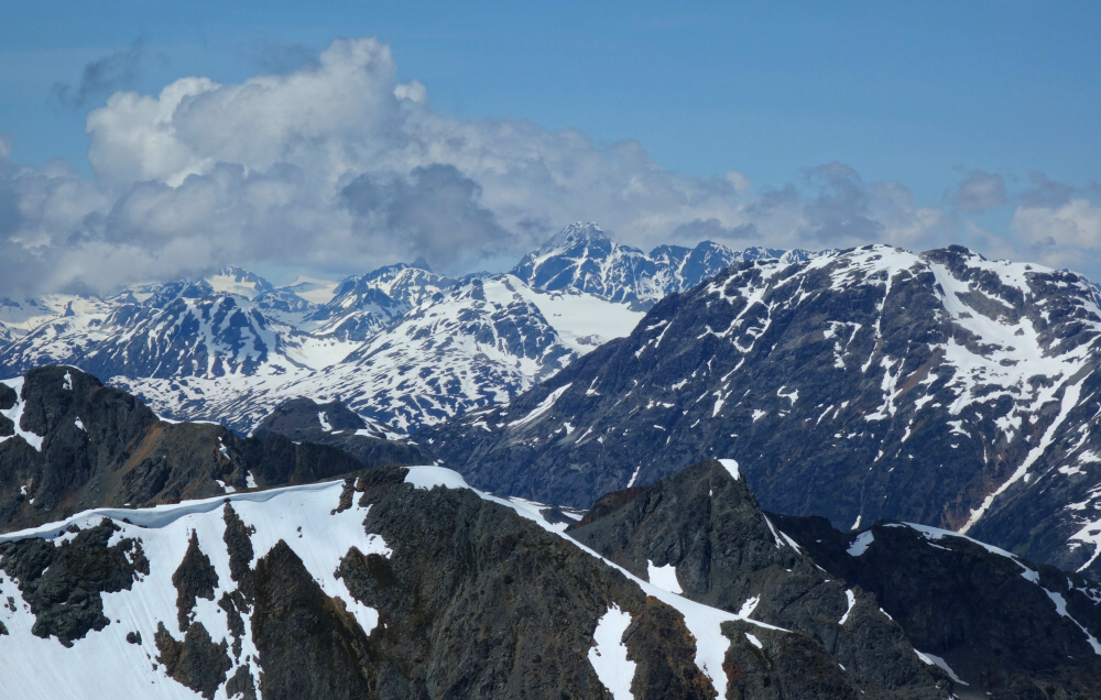
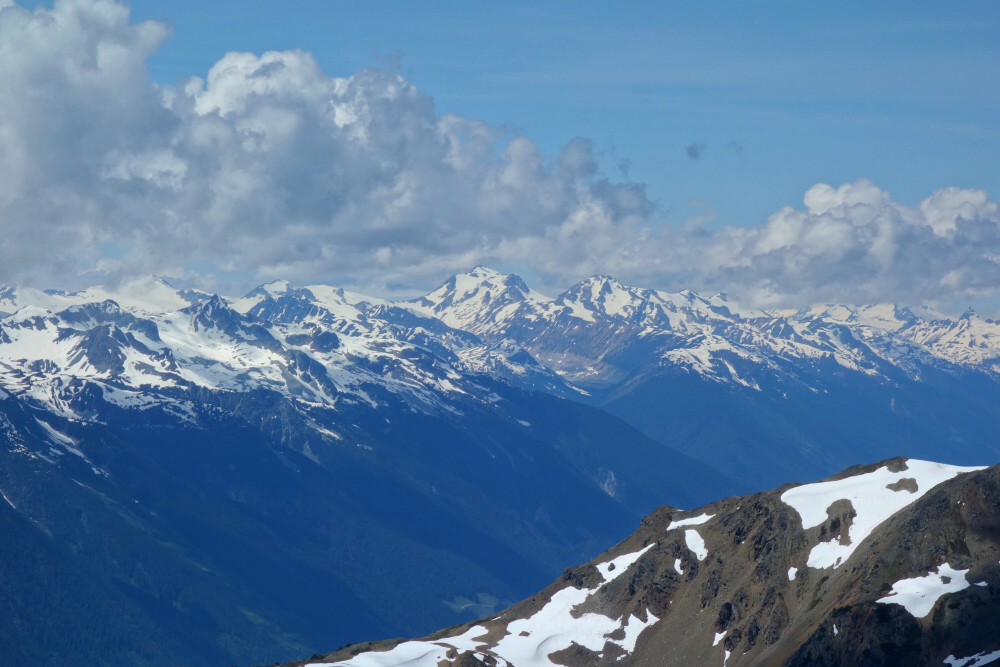
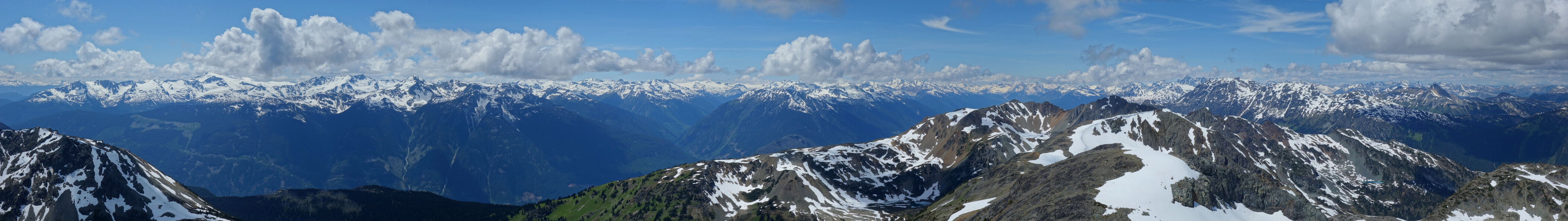
Chipmunk & Tenquille - via Hope Creek FSR, July 2020
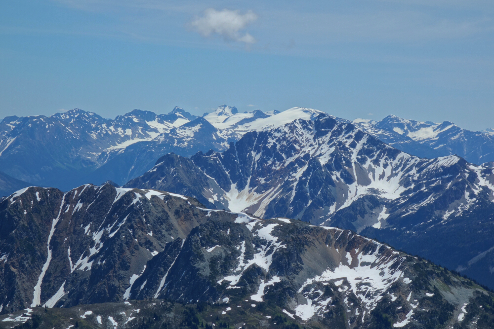
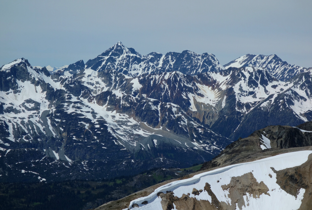
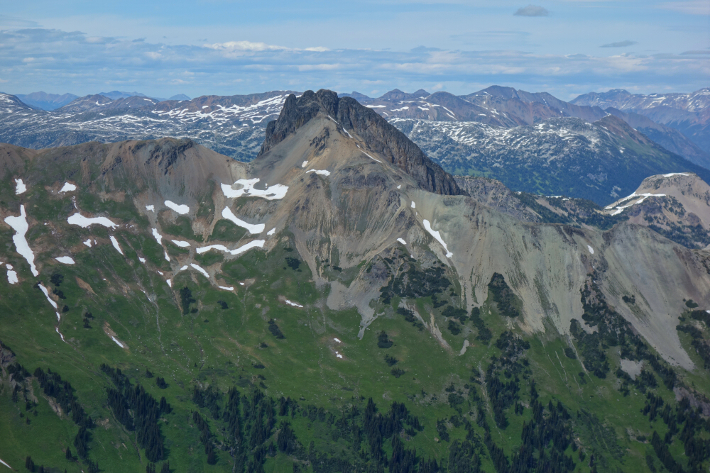
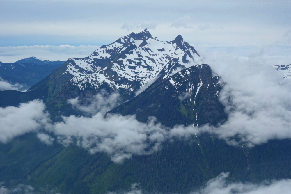
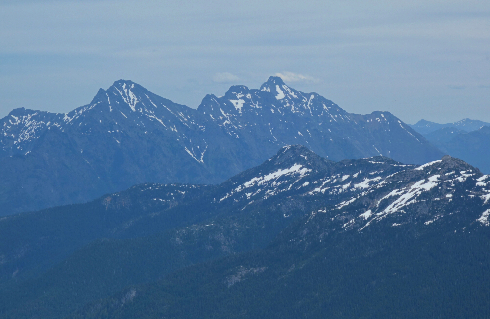
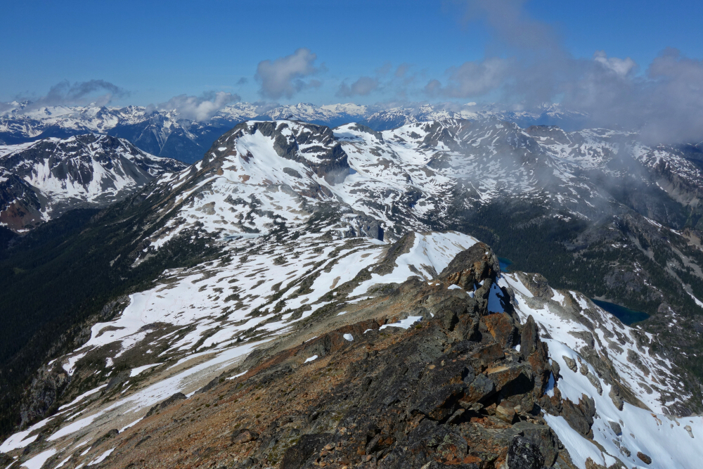
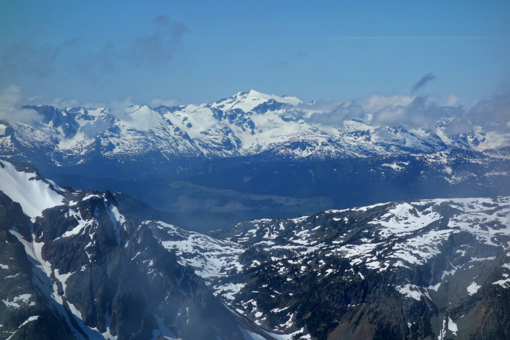
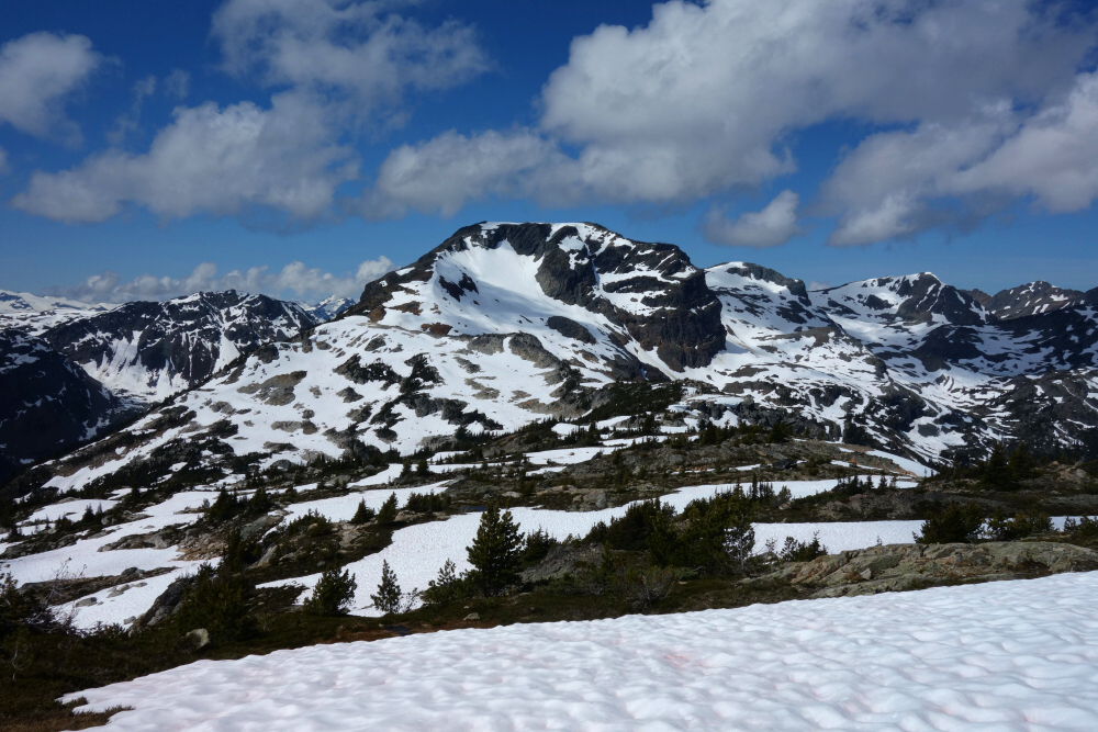
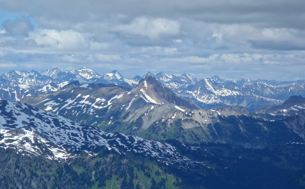


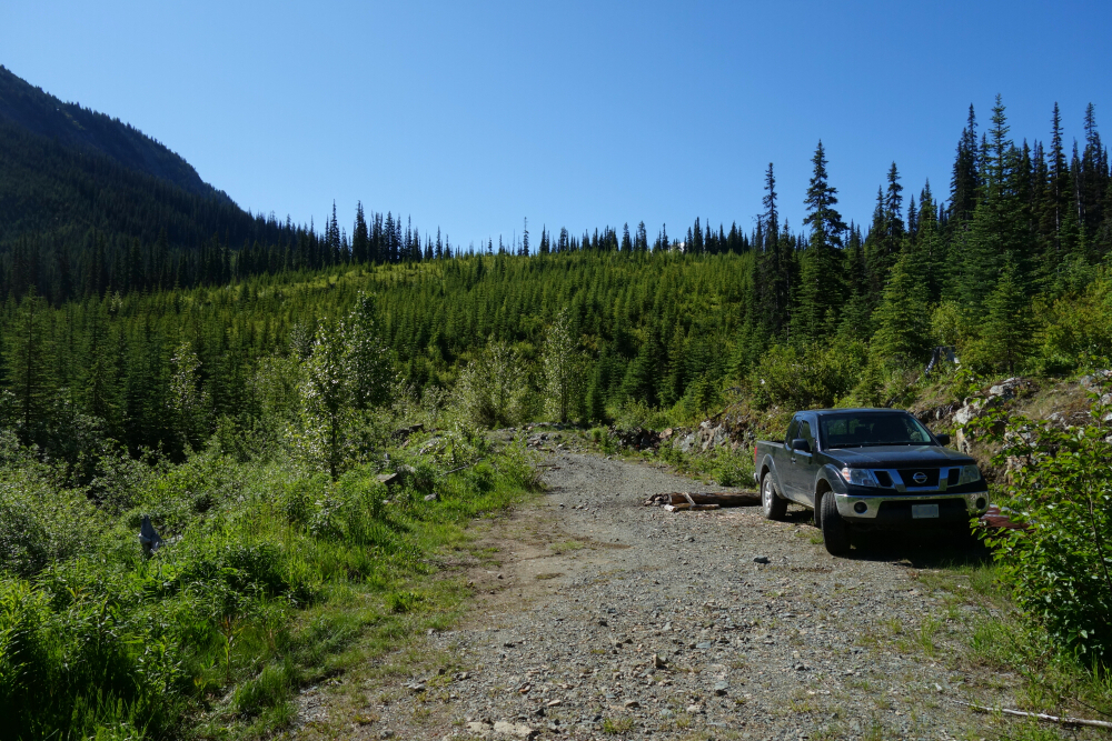
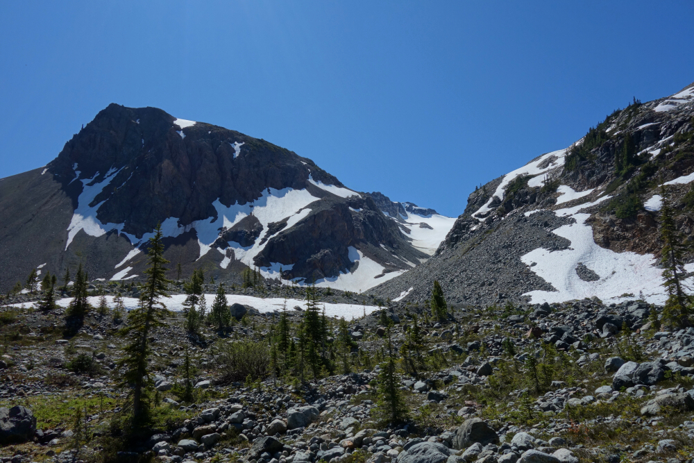
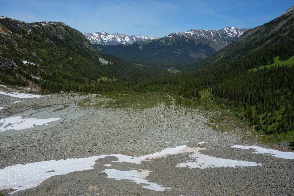
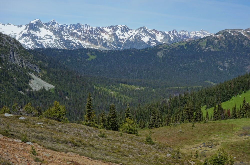
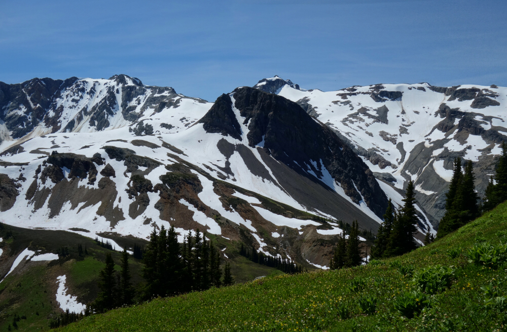
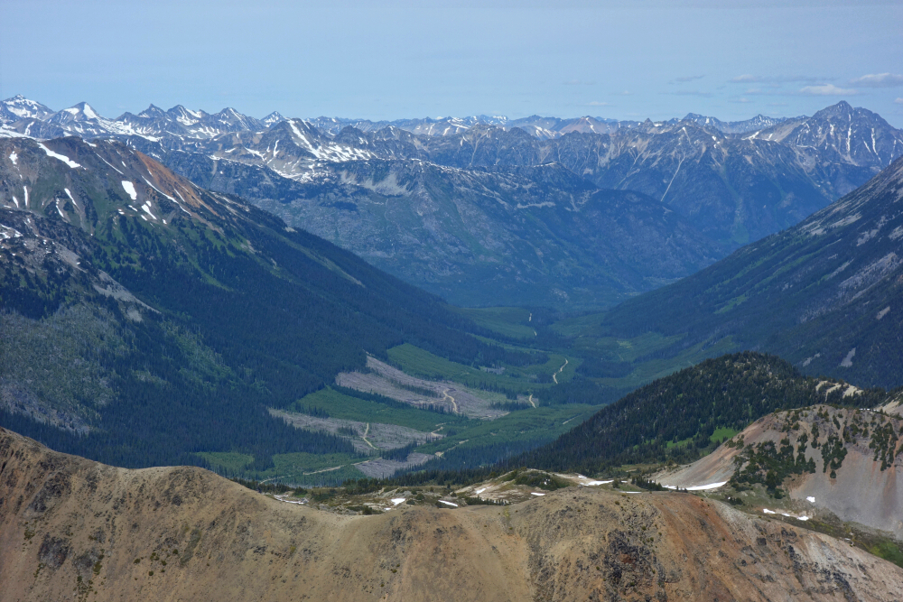
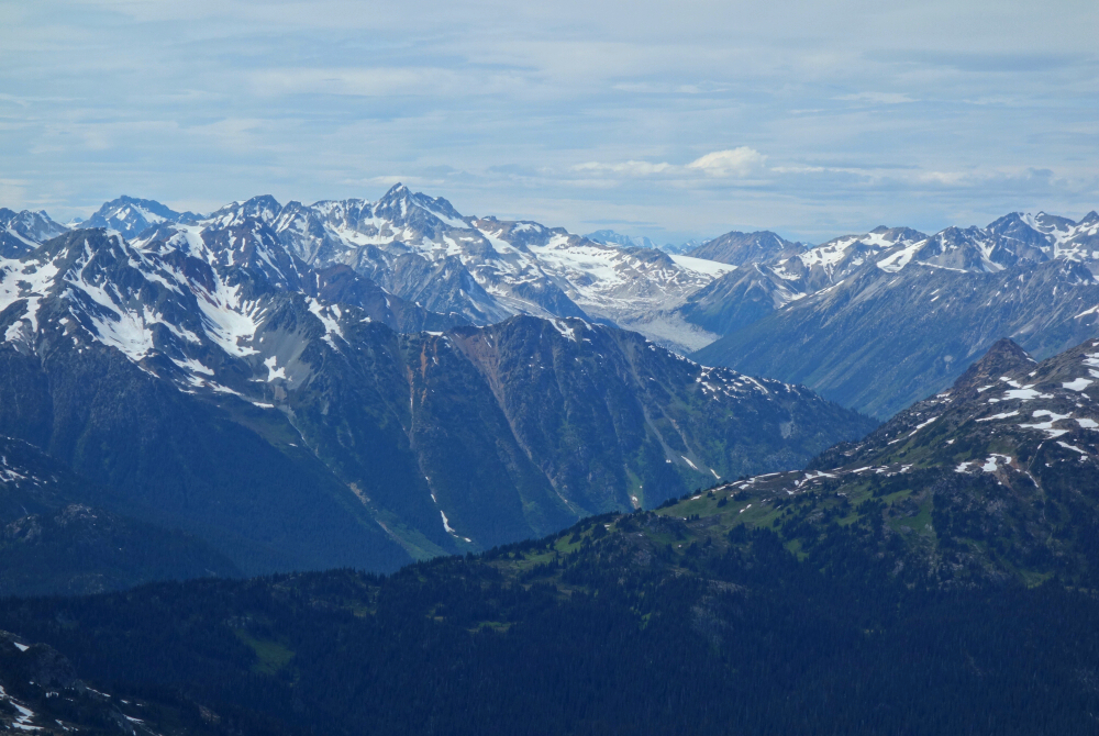
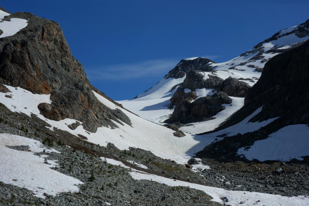
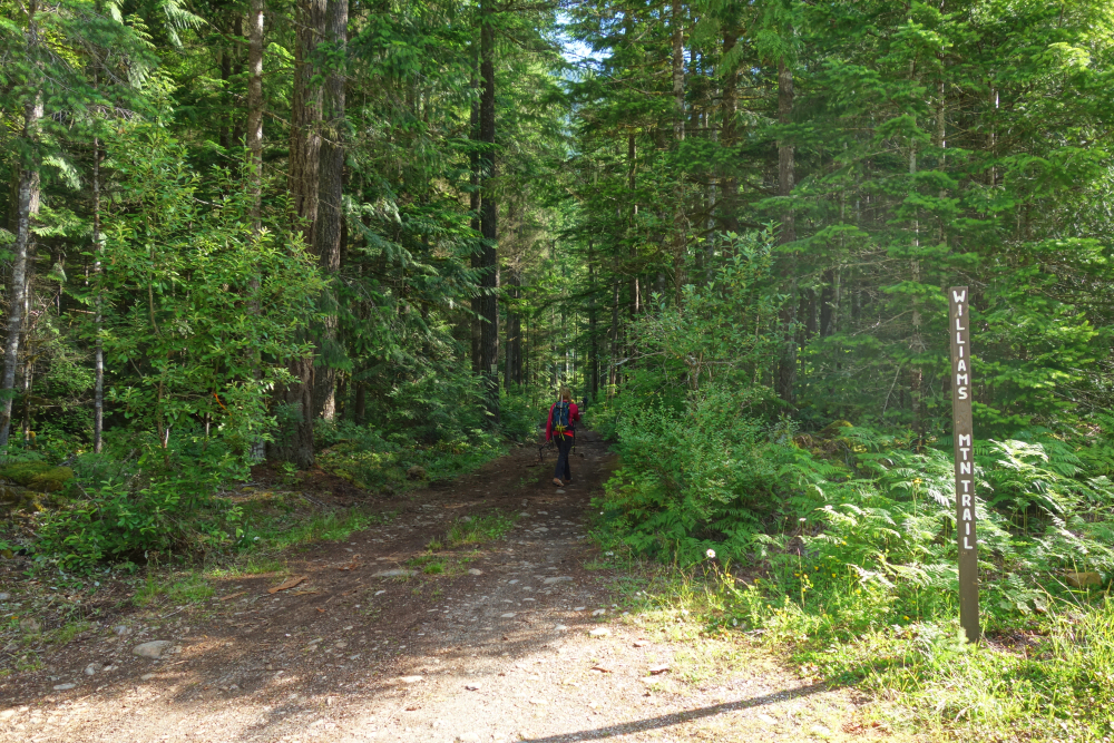
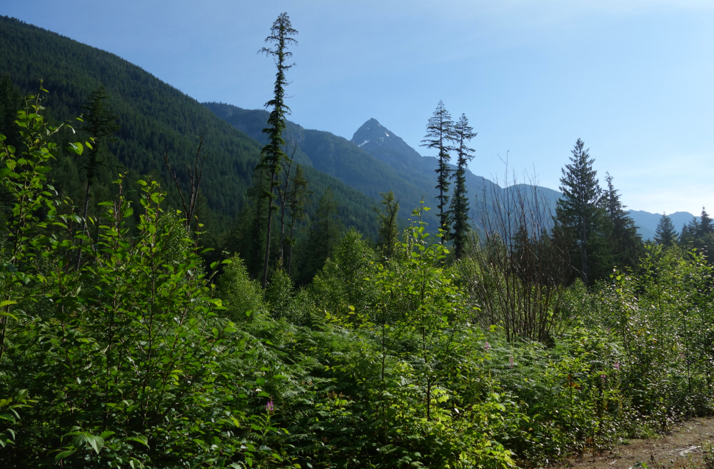
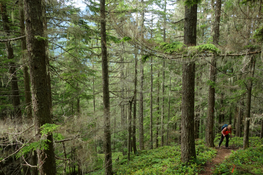
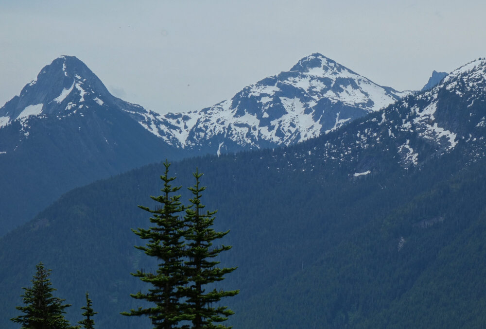
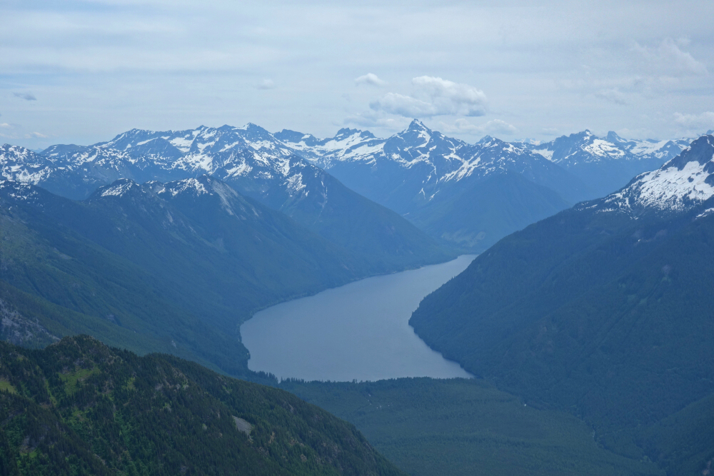
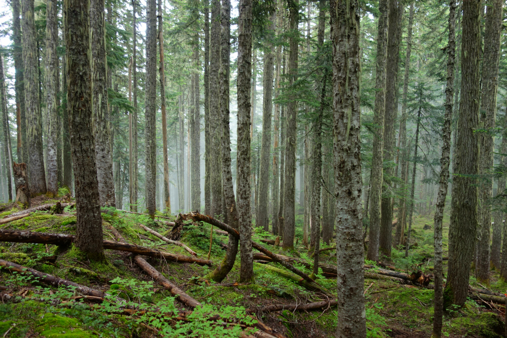
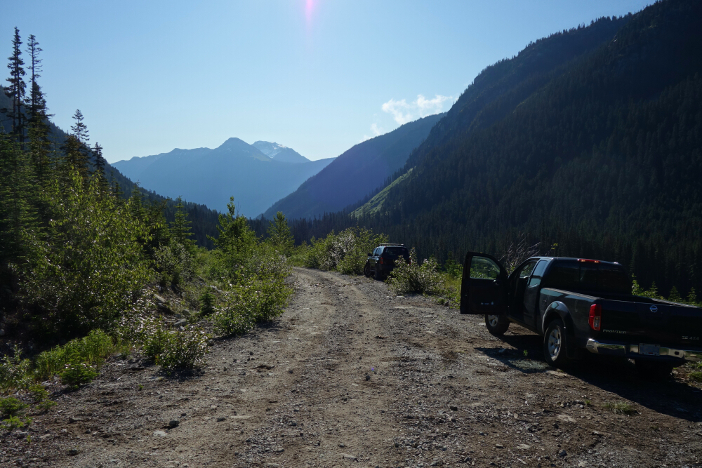
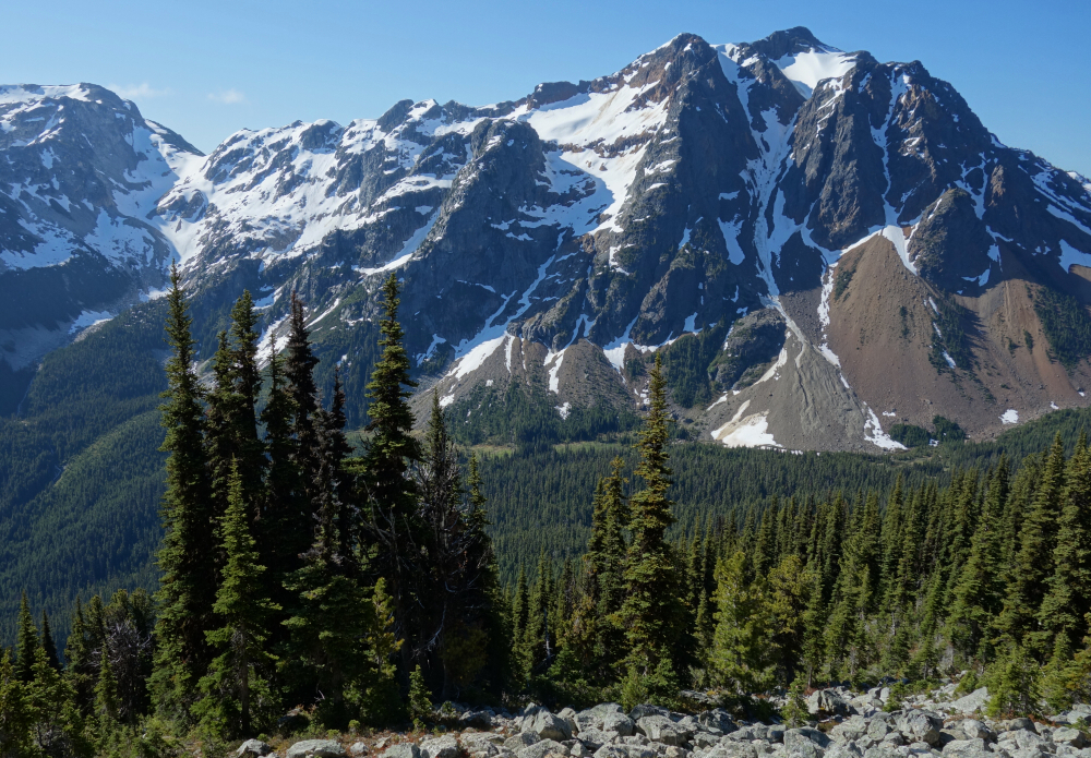
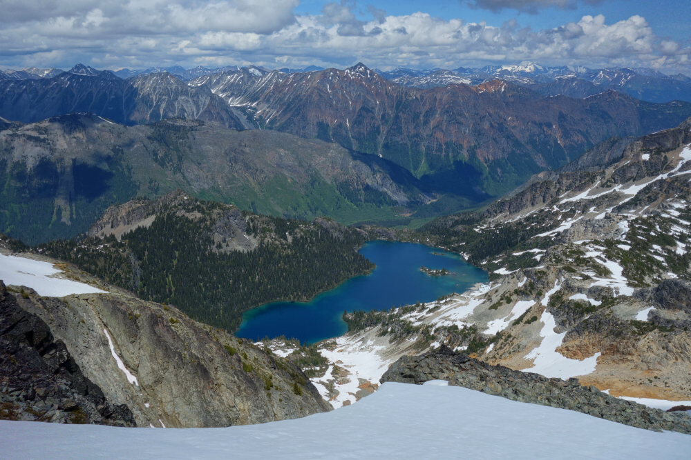
Another 2fer this time up'n over the Hurley and down Hope Creek FSR. Road to washout/ditch was in great SUV driving condition, surprisingly better than the description in SSWBC. Hallelujah! Proof that rarely but occasionally conditions do improve with time! Hiked to end of deactivated road about 2 or 3 kms total (?) then continued across the cutblock on a bit of a path and thankfully picked up a flagged but bushy "trail" through the forest. Trail intersects the creek that drains the glacier between Tenquille and Goat and turns up parallel with the creek before vanishing in the large alluvial basin below said glacier.

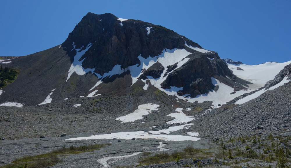
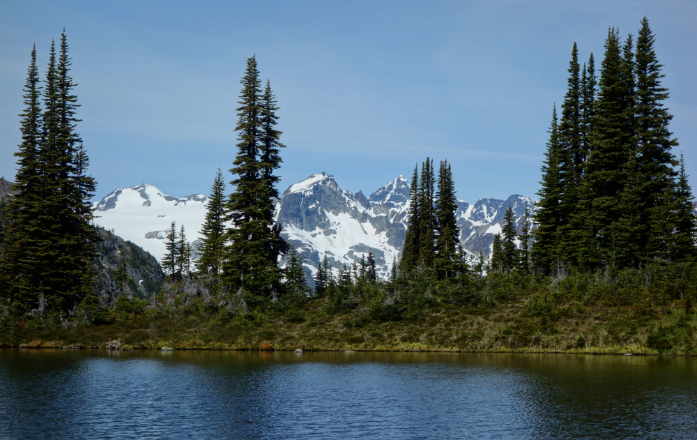
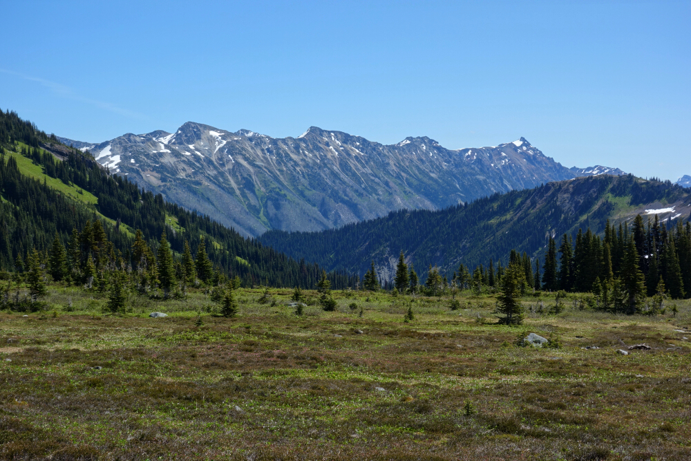
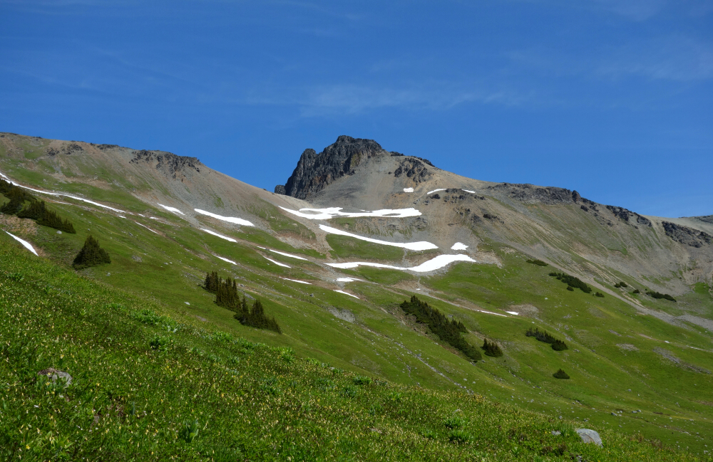
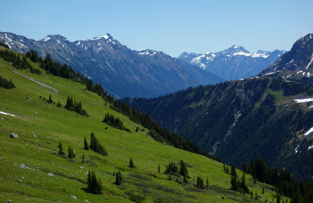
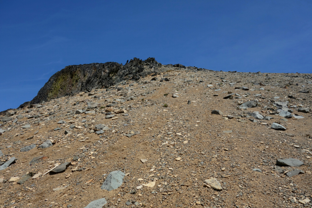
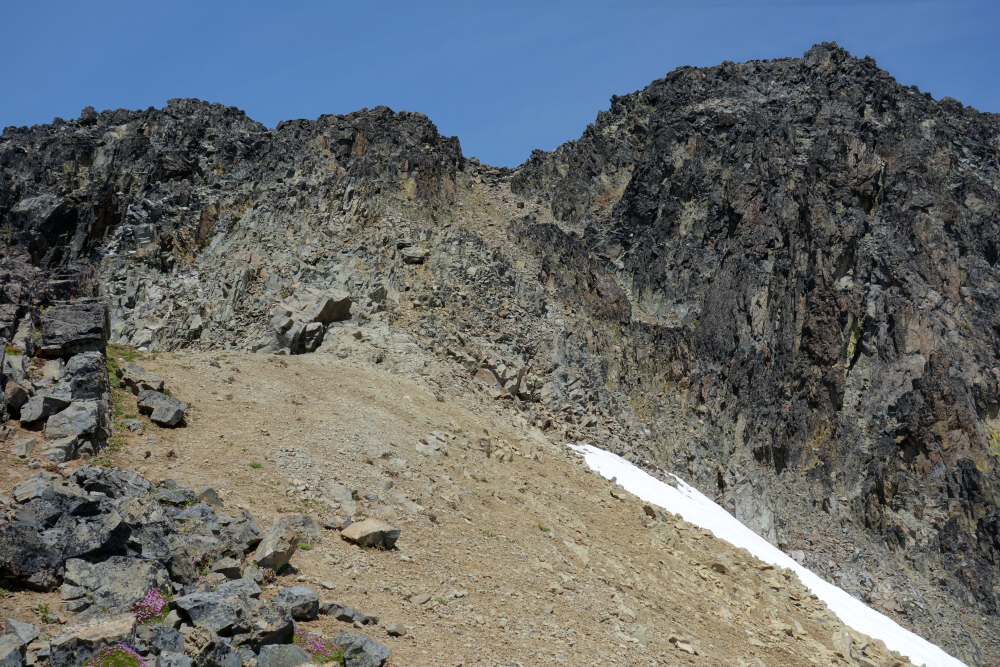
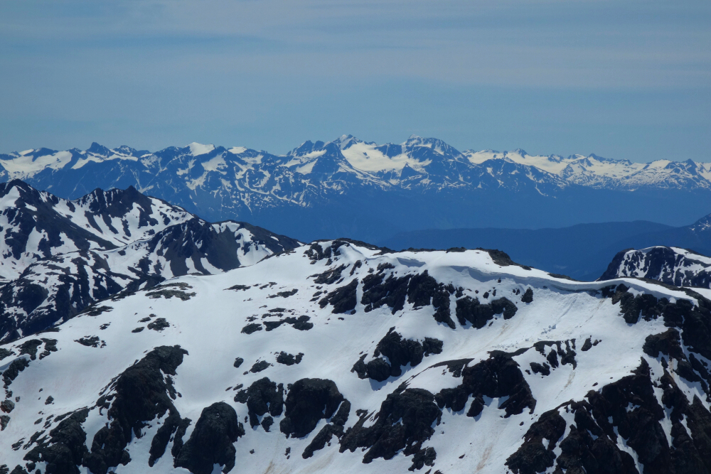
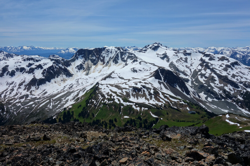
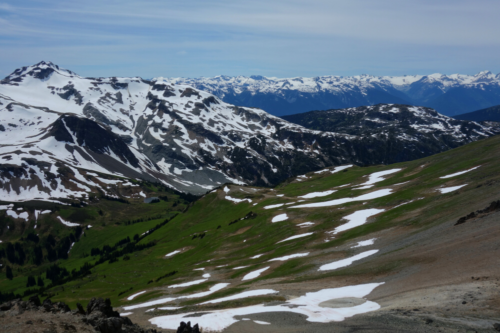
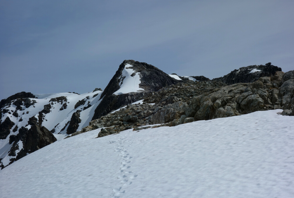
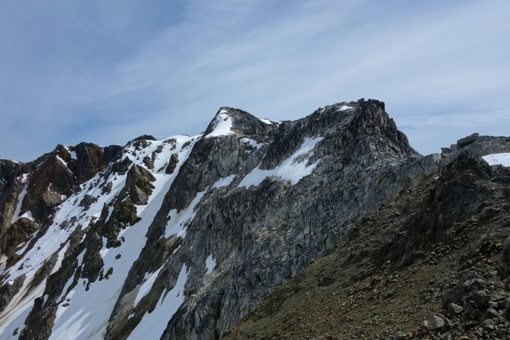
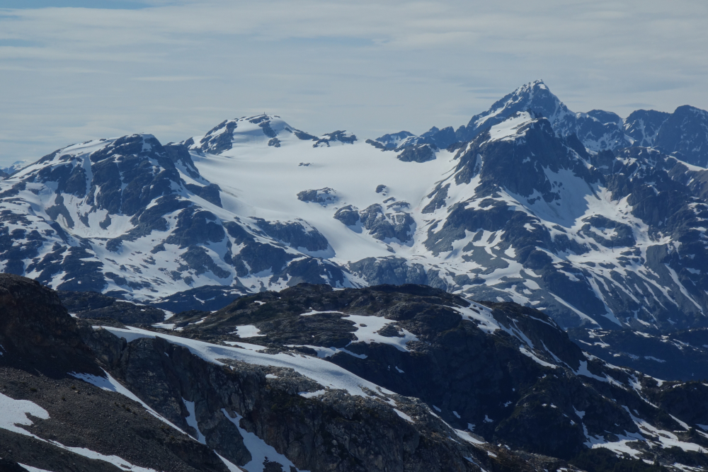
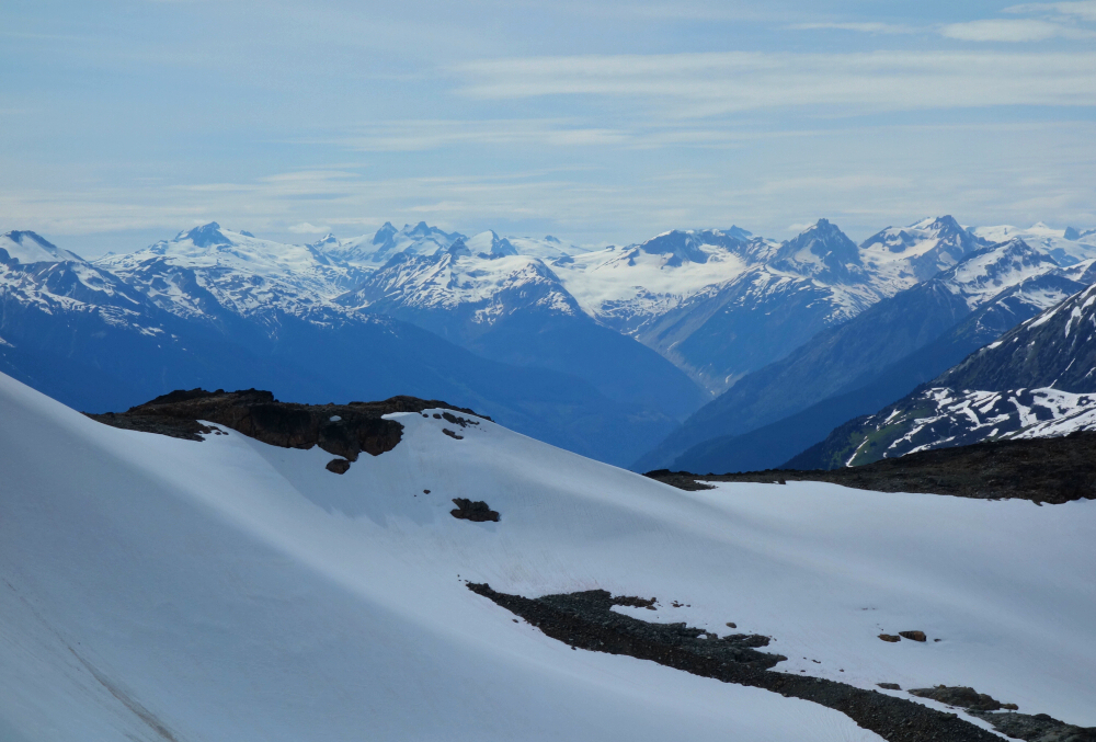
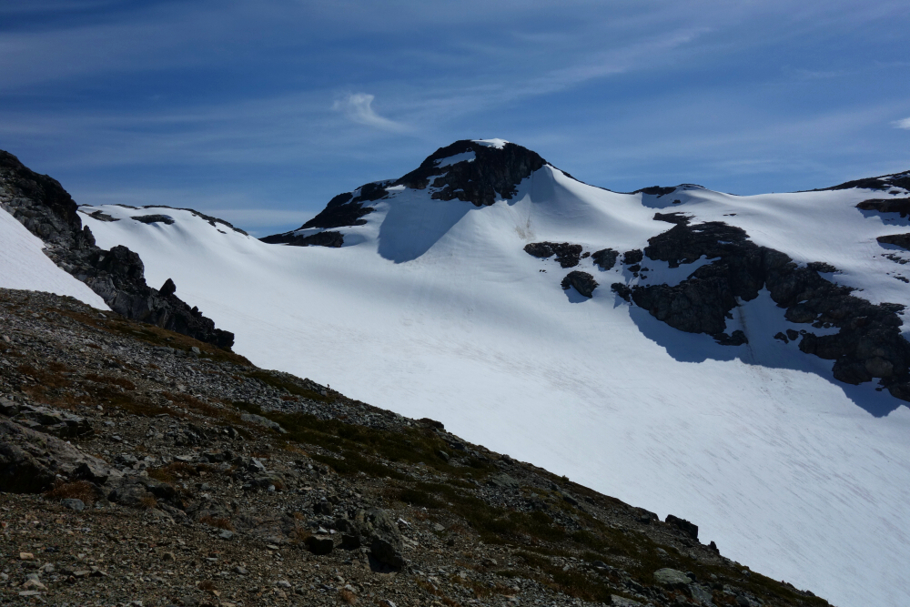
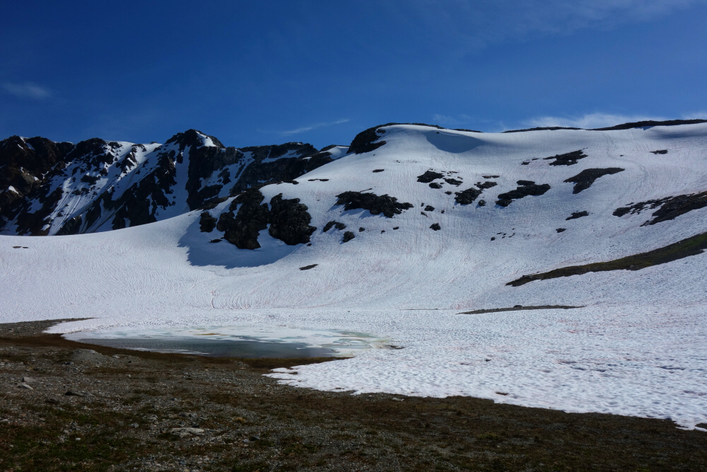
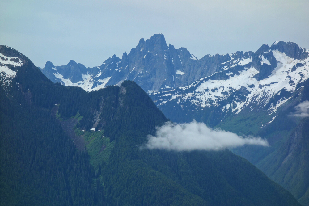
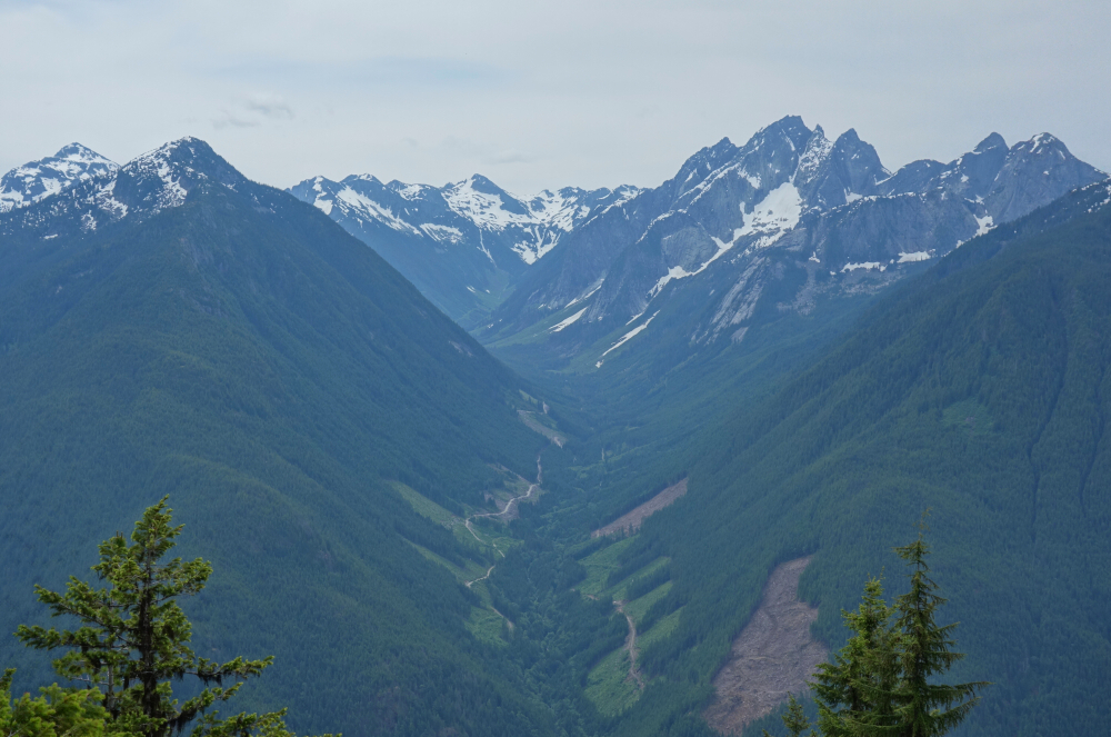
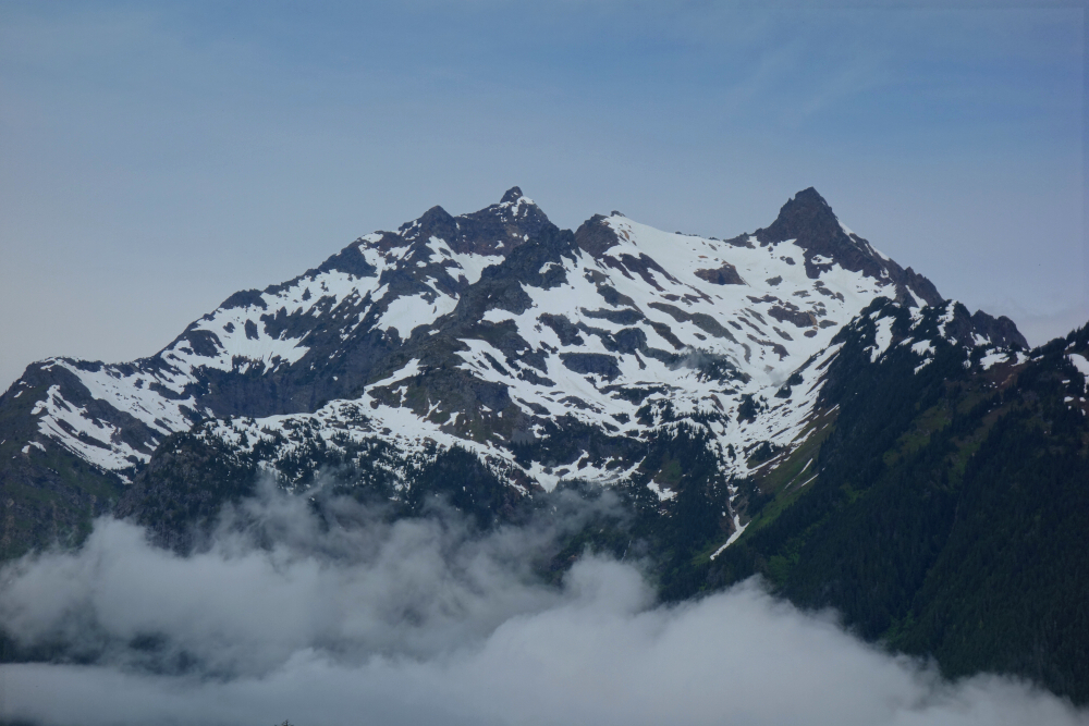
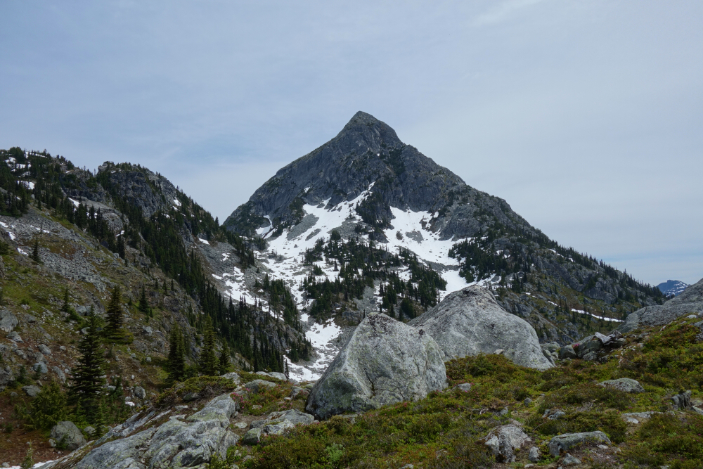
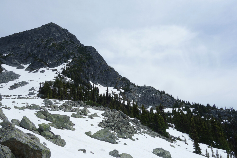
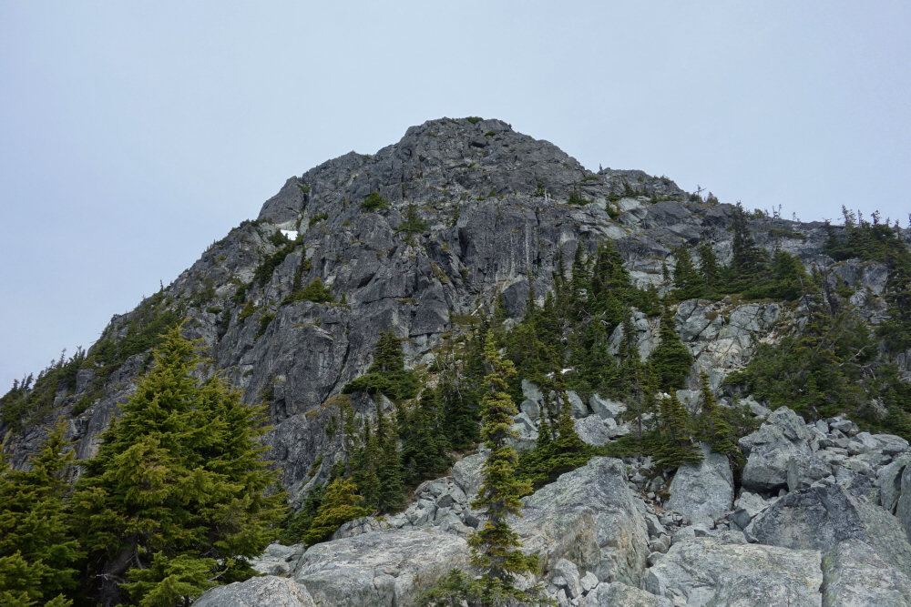
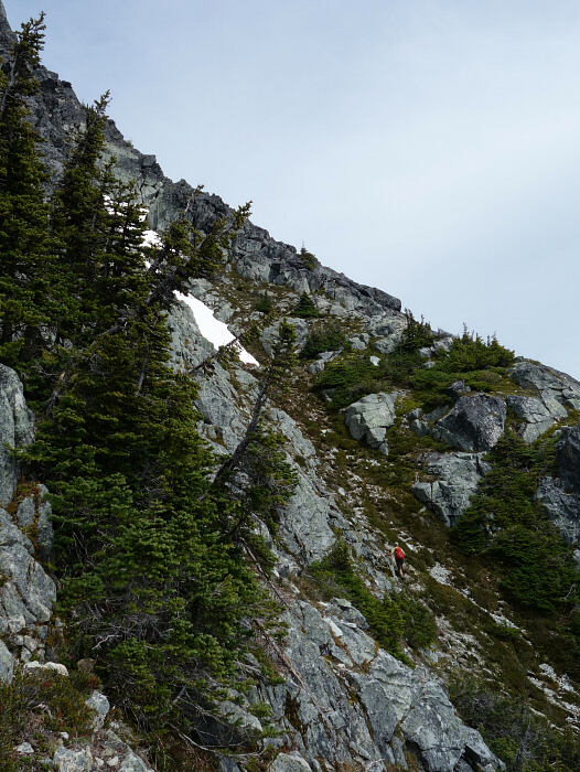
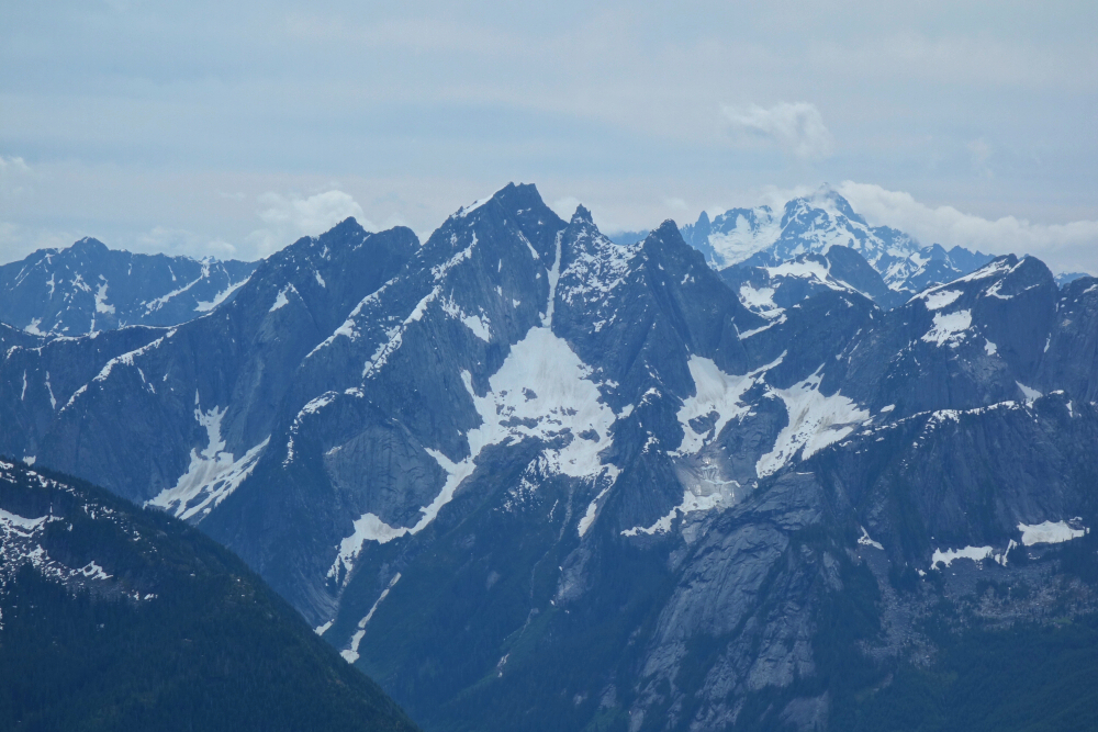
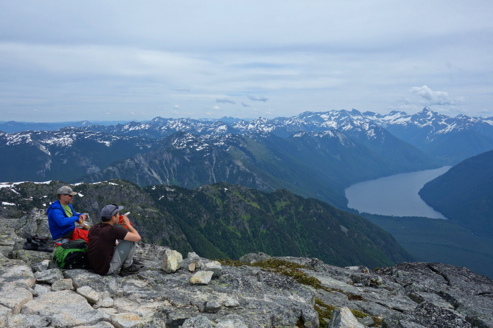
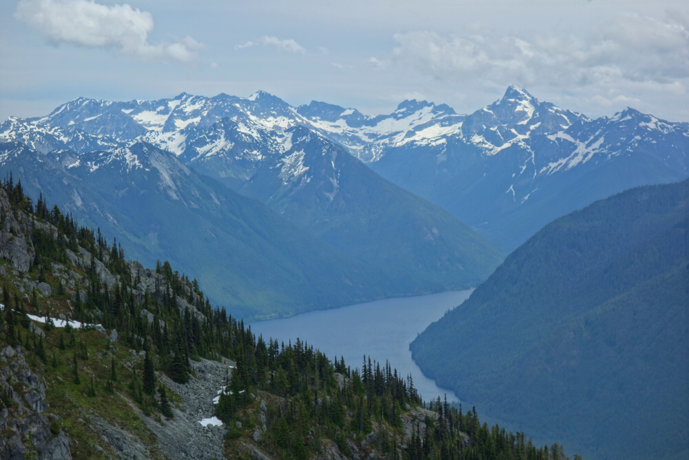
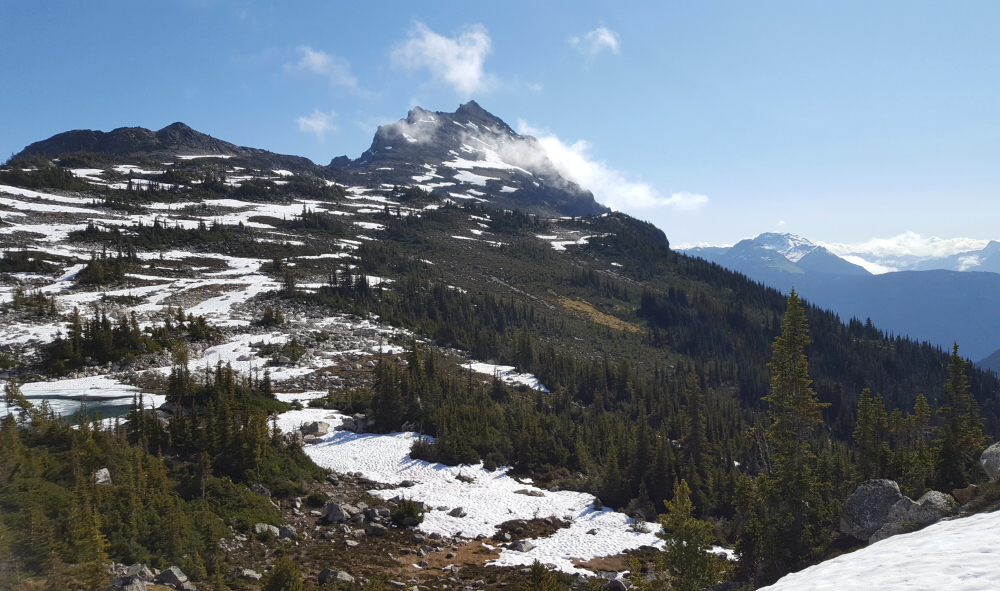
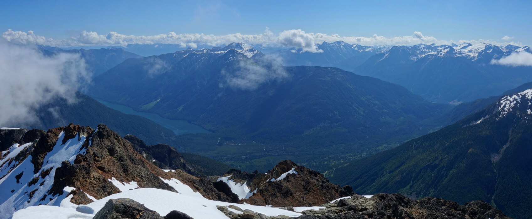
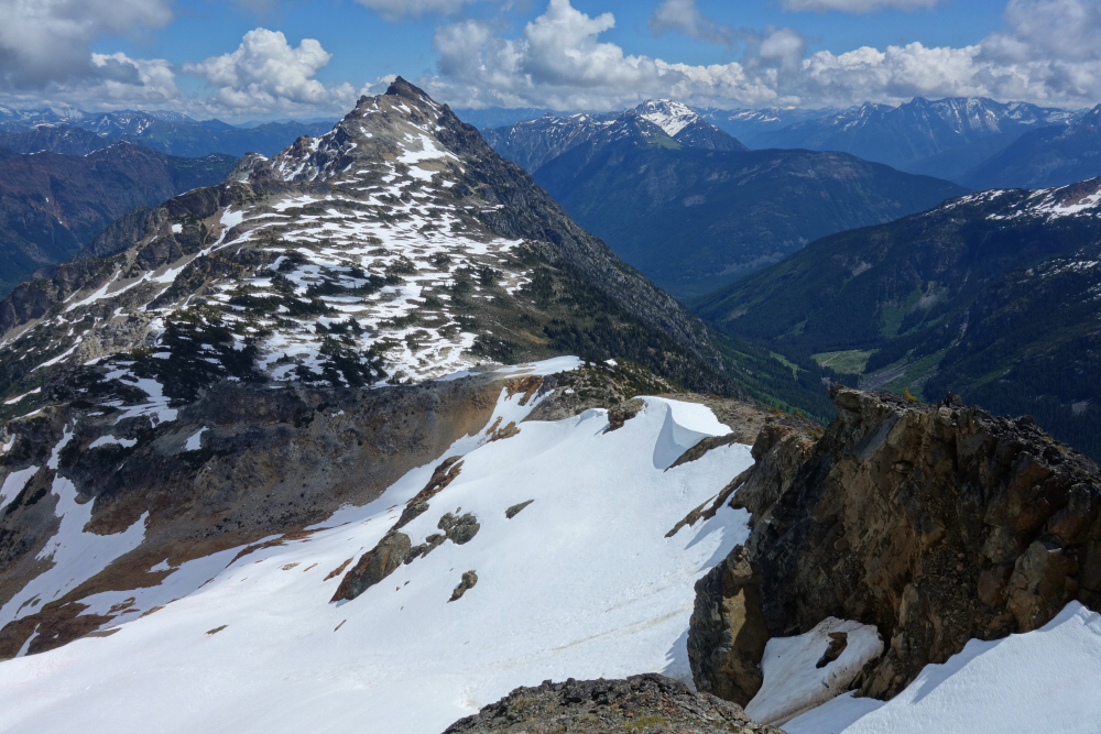
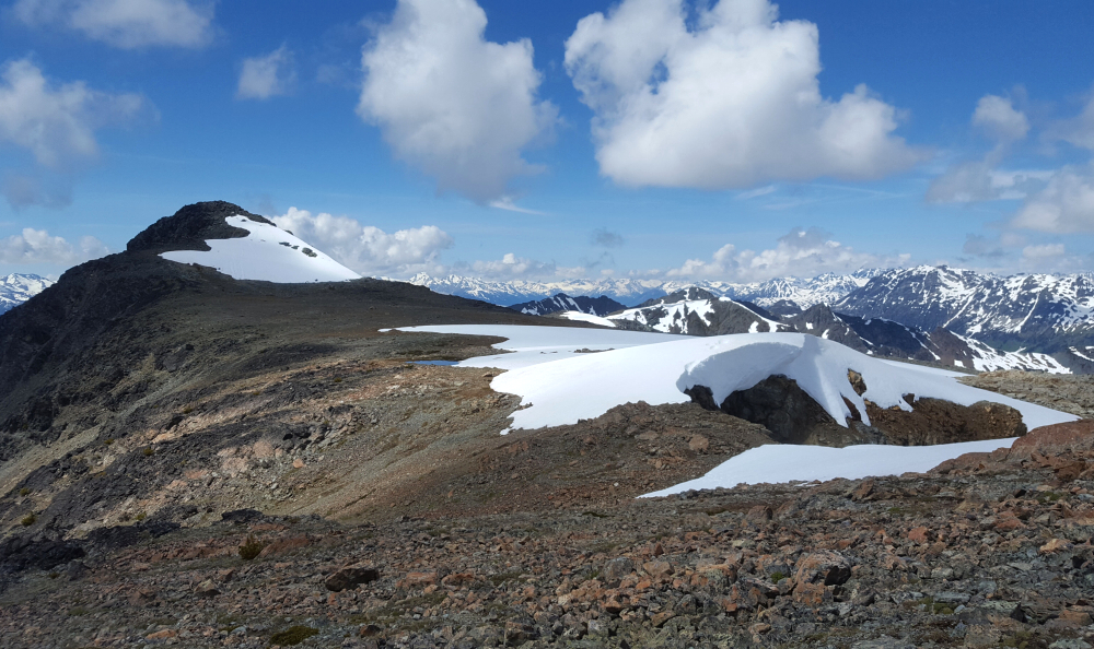
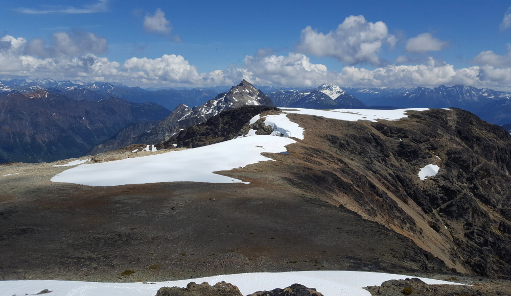
Gained the pass between Chip and Ten and angled up and right on steep grass to reach the basin below the peak. Easy cruise from there reaching the summit a little over 3 hrs from the truck. Back down to the pass and up again this time via Tenquille's North Ridge. Gained ridge early by kicking up steep snow, then easy but enjoyable rambling past the "crux" to a steepish snow patch right where the ridge pitches up shortly below the summit. Minimal exposure here and snow was soft with steps from a party camped at the pass - a primo camp spot BTW!

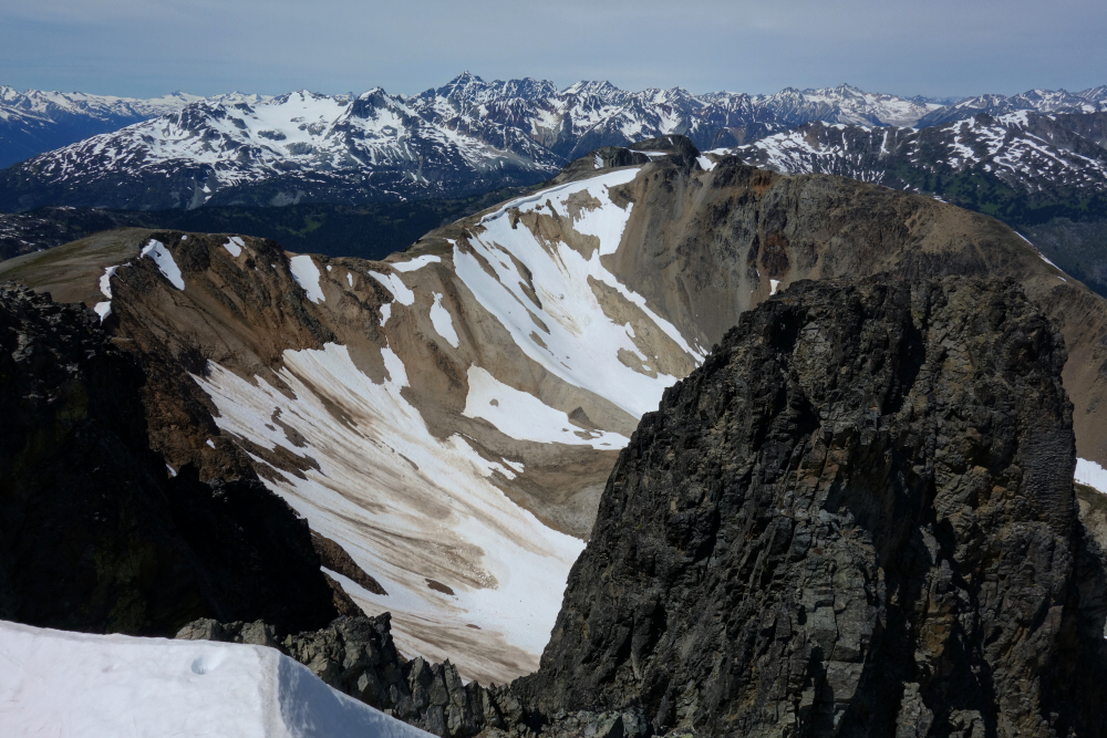
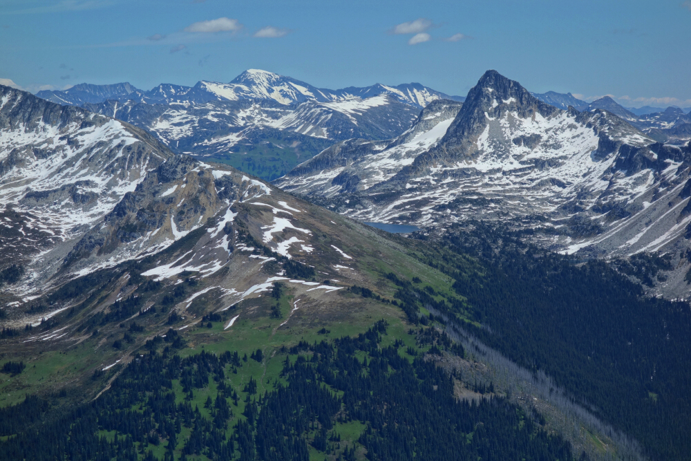
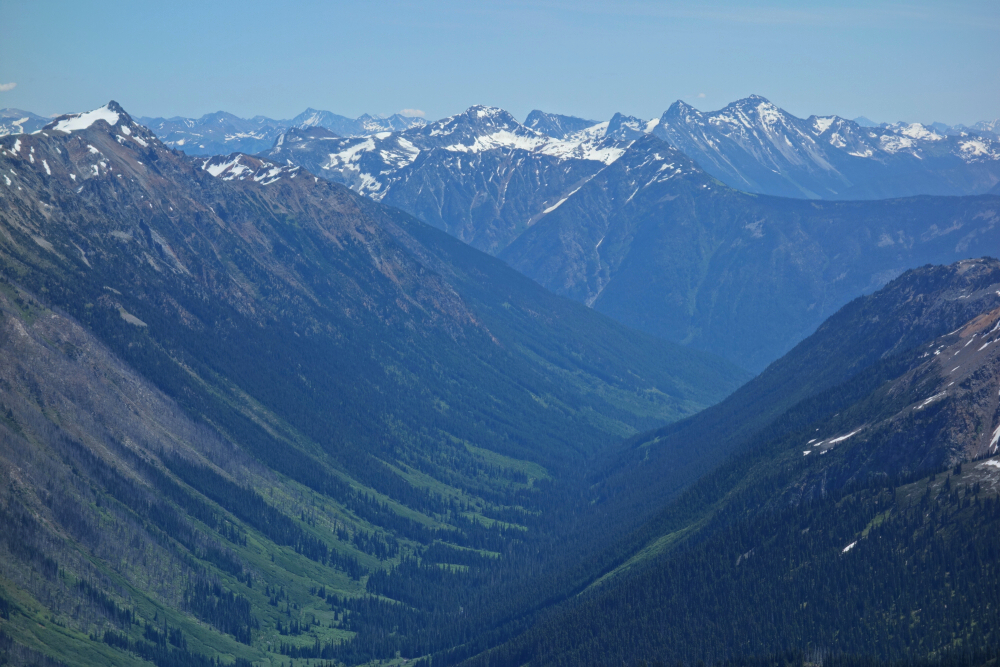
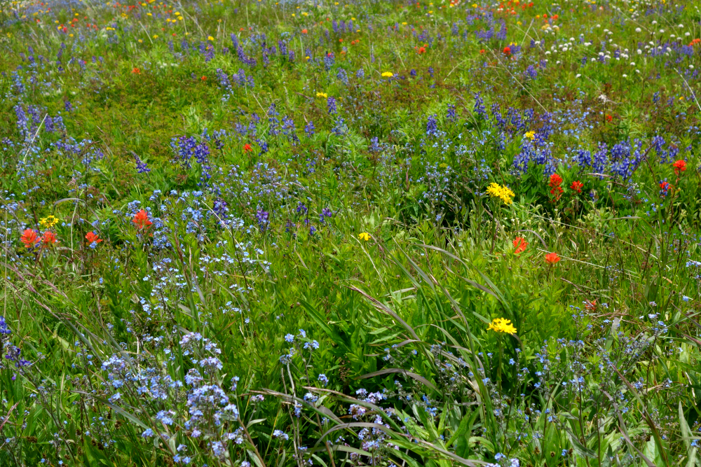
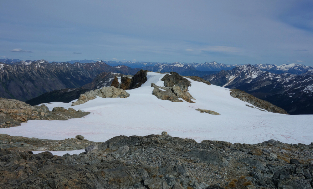
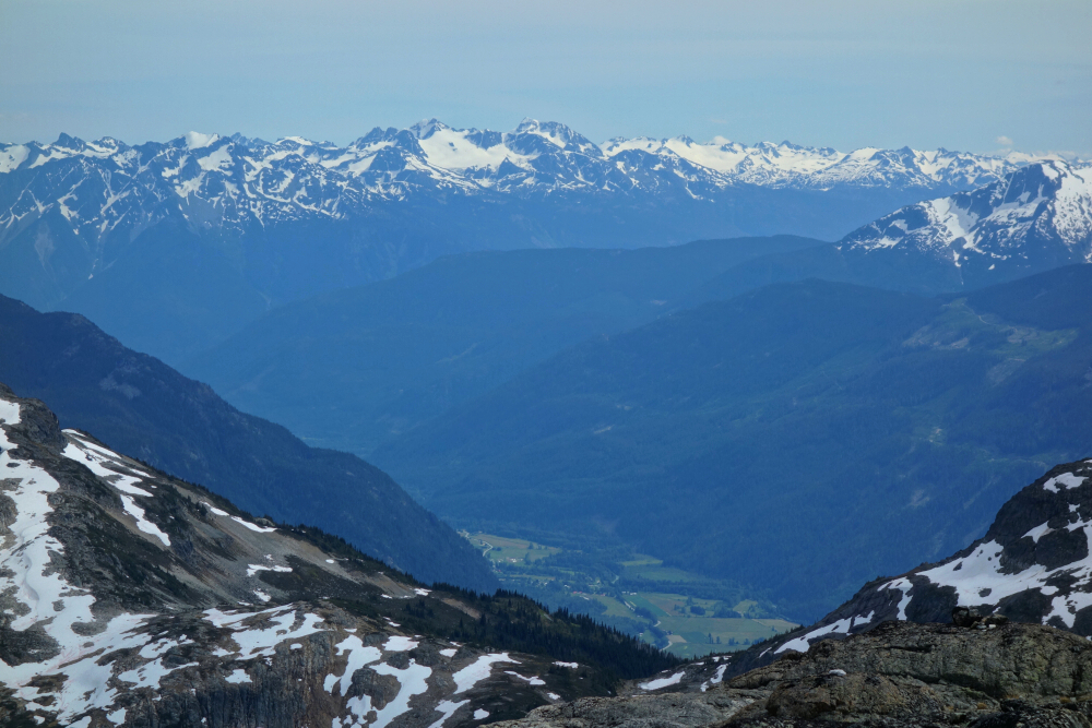
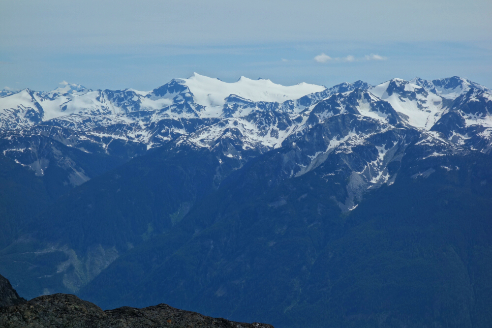
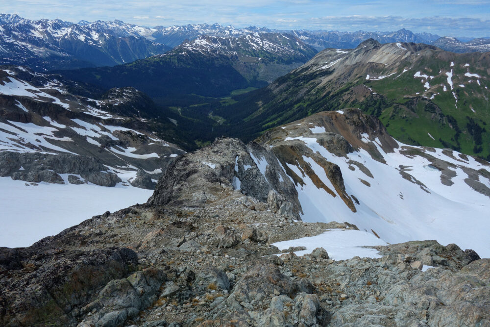
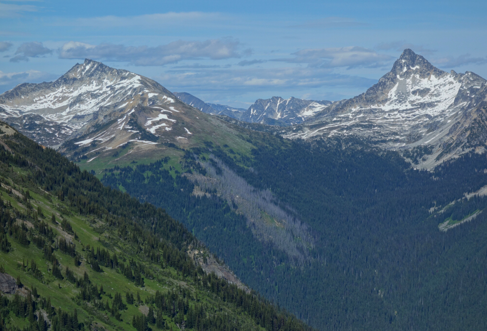
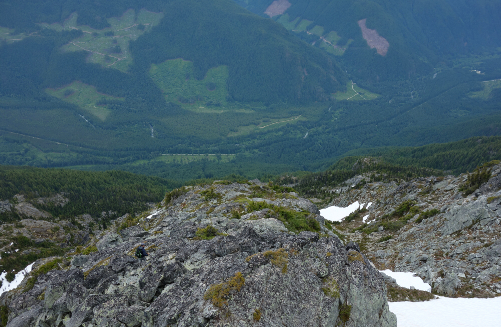
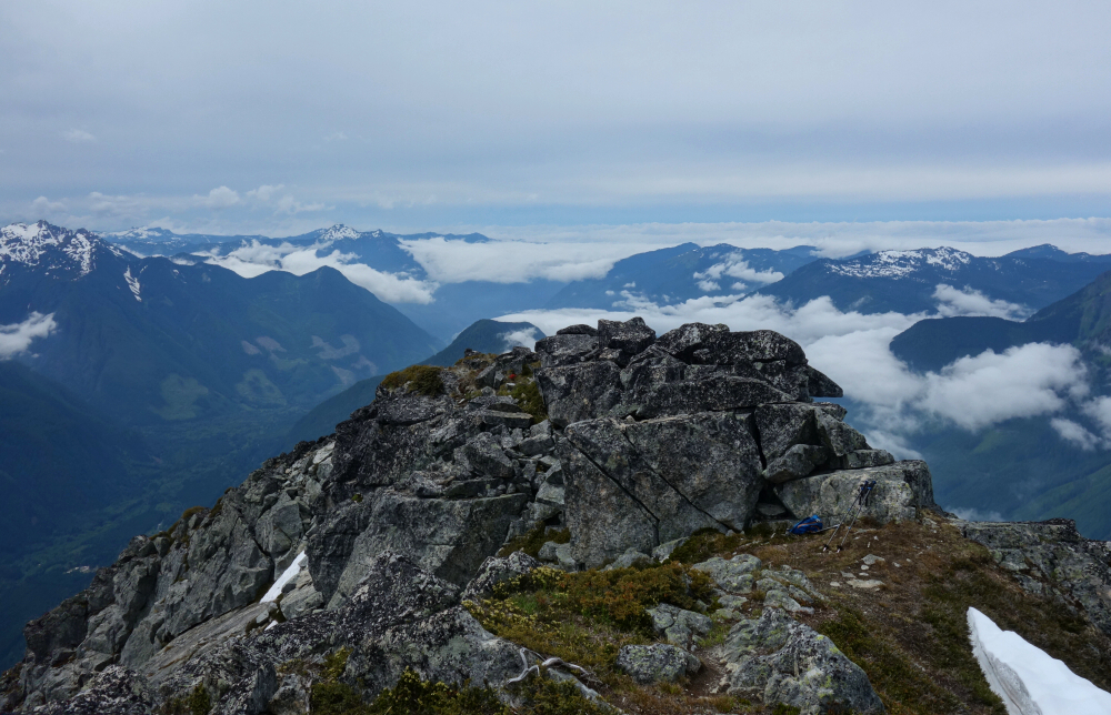
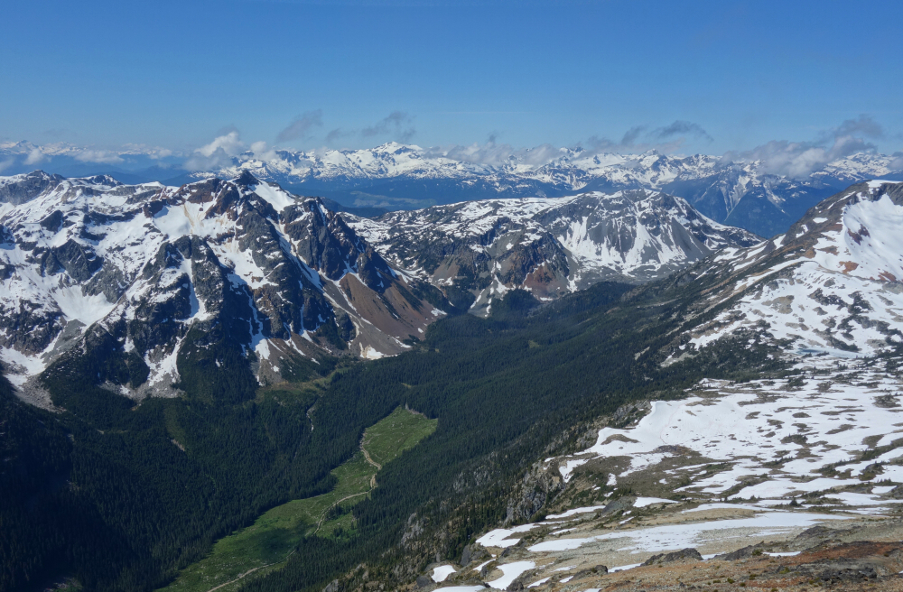
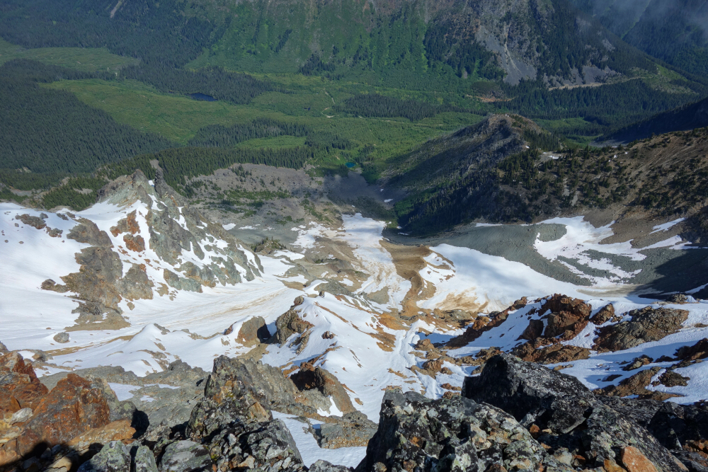
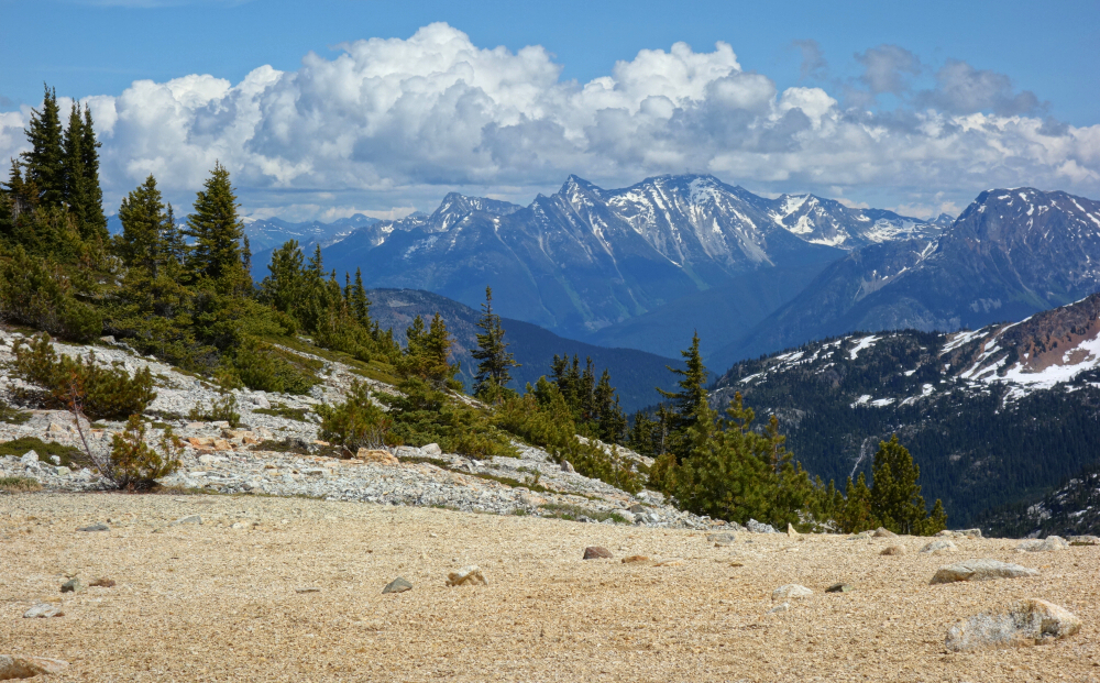
Second time on Tenquille, having climbed it and Goat a couple years back via Tenquille Lake. Views still do not disappoint! Didn't feel the need to bag Goat a second time, but I did briefly consider descending via the north glacier as it seemed like it would make for a quicker return. Decided to play it safe and returned the way I came, enjoying much boot skiing for a speedy descent all the same. Back at the truck for a total of about 8.5 hrs. Only bummer was that bug season had finally arrived and the mozzies were determined to make up for lost time. In other words, no tailgating with a beer before the long haul back home!

Click here to view.

Monday, November 16, 2020

Williams Peak - Williams Peak Trail, July 2020


Ended up on this as plan C after plans A and B in the area fell through. Speaking of plan B, the community of Paulsen had (or still has) signs posted at the Radium Lake Trailhead and elsewhere stating that the area is closed to non-residents due to the Plague. This affected our access to Mount Webb and MacDonald, although as I found out later trails from the Chilliwack Provincial Park day lot can be used to approach these peaks as well. I guess that's what happens when one has a 2005 edition guidebook to go by and no cell data. Wireless issues aside, one can't complain really. Factoring in the time it took Gunn to climb and publish everything in SSWBC, some of the information therein must now be almost 20 years old! Certainly, a lot of deterioration has occurred to the FSRs and trails in the years since, exhibit A being our failed plan A!

Fortunately, in the case of Williams Peak the trailhead starts from the paved Chilliwack River Road, which ironically may not have been paved that far up the valley back in '05. Given such relatively lowly beginnings, it should come as no surprise that hiking Williams is an interminably steep affair up from the valley floor several thousand vertical feet to a forested ridge. Only then does the trail ease back for a mostly rolling stretch eventually leading to a talus basin on the west side of the peak. Wrap around to the south side and turn up a grassy gully system for the finish to summit. Steep snow lingering in the upper gully was avoided by taking to rock and moats as needed, clocking in just under 4:30 to top. Great perspective on Chilliwack Lake, Rexford Group, Slesse and peaks in NCNP to the south. Welch and Foley looking nice as well. Weather moved in that afternoon with light rain on the descent from the ridge. Snuck this one in just in time!

Click here to view.

Monday, November 9, 2020

Sun God & Seven O'Clock - standard via Tenas Creek Valley, July 2020


Finally, a fair-weather weekend day! Went for the twofer up the Birkenhead River FSR way. Road to where the hiking starts in reasonable urban SUV shape, despite some overgrown pinstriping bits. Description in SSWBC spot on - flagged climber's path starts right where the road makes a sharp turn to left. Well flagged and relatively easy to follow up to saddle with lake, ~1 hr from road. Turn right and follow yer nose to Sun God summit, 2:15 from road. Take to the ridge crest at left for more interesting scrambling or just plow up talus and scree to your heart's delight. Neat perch up top and great perspective on Mount Ronayne across Tenas Creek and the route over to 7 O'Clock. I could even make out the truck parked way down there in the valley!

Head back down, take high route above lake and continue up to 7:00. Despite being lower I found the latter more interesting, both on the way up and in terms of views. The summit area features a unique tundra plateau reminiscent of Burroughs Mountain NE of Mt. Rainier or peaks out in the Pasayten Wilderness. And oh my, what outstanding views: Birkenhead and Marriott looking east with the unmistakable Whitecap massif looming off in the distance, looking to the west with Overseer and Sampson not to be missed and peaks of the Meager Group beyond, to the northwest towards Chipmunk with unmistakable (and memorable) Vayu farther off behind, and finally the view to the southwest across Pemberton Valley with icefields at head of Ryan River Valley and the impressive glaciers on Rhododendron and Ipsoot. Perhaps even more remarkable is the fact that I can identify all these in the first place! As a bonus, soft snow enabled much boot skiing on descent arriving back at truck for a 7.5 hr day incl. breaks. Yet another enjoyable day trip out in the Pemberton backcountry!

Click here to view.
home | email | copyright

All photos and text for sverdina.com are copyright © 2002-2024

It would be very much appreciated if you please ask before copying and/or re-publishing content from any part of these pages. To do so, please click here to send a message via feedback form.

Thank You.

©2024 sverdina.com |