Select from list below to jump to a specific area on this site.
| Latest Posts |
Saturday, October 30, 2021
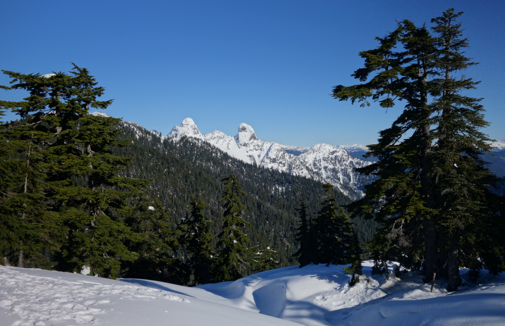
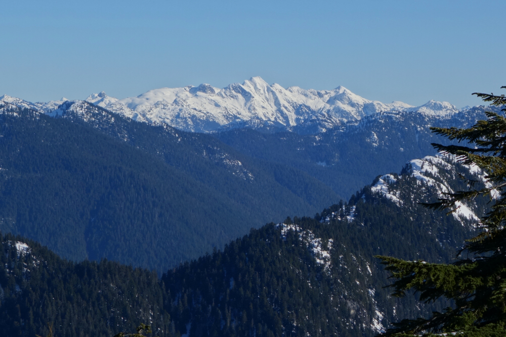
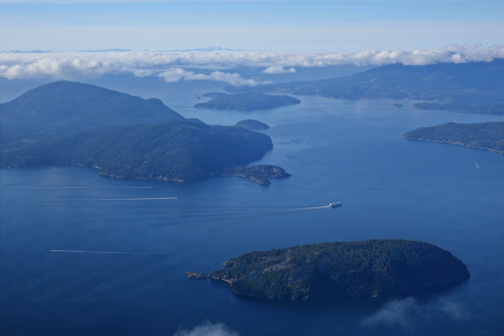
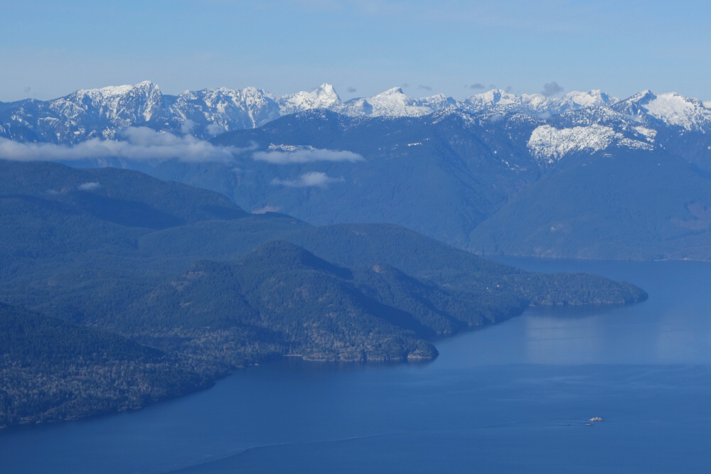
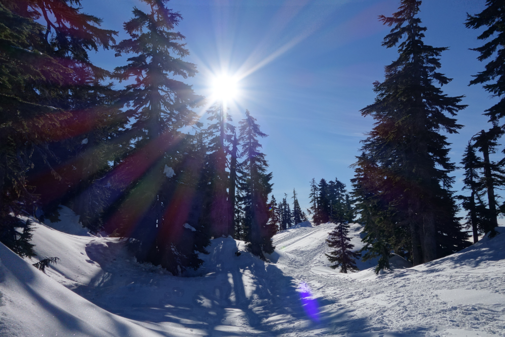
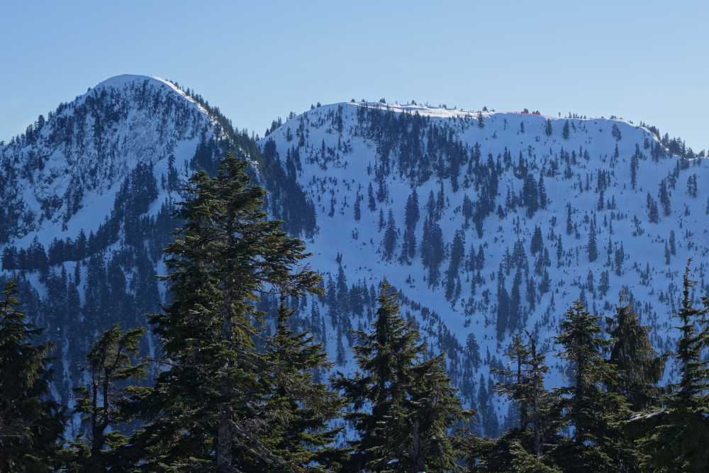
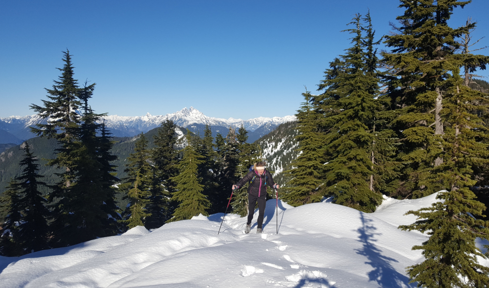
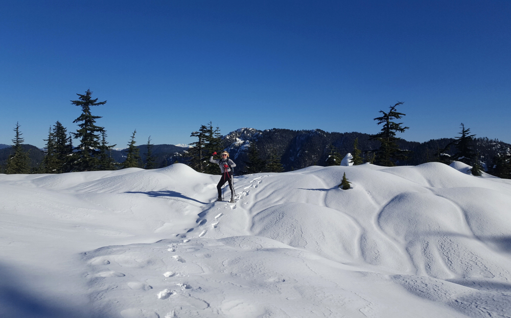
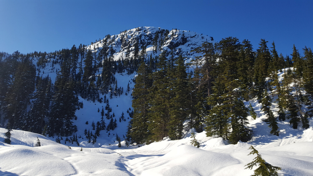
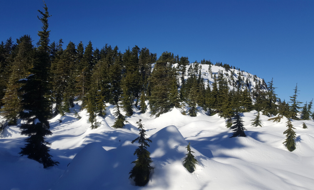
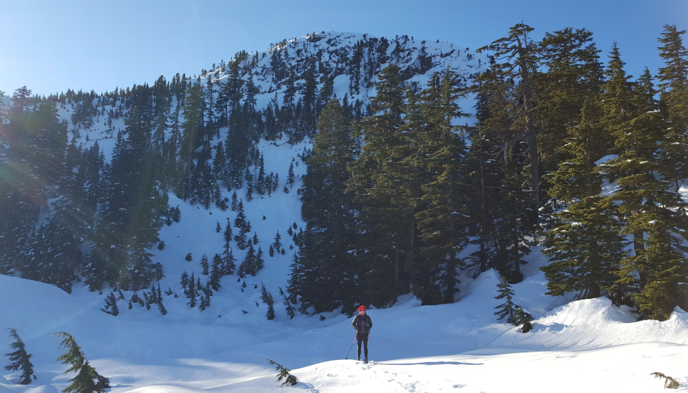
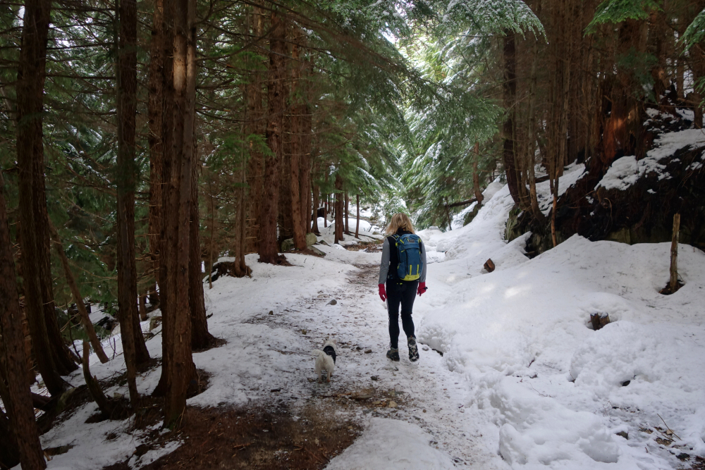
Saint Marks Summit, January 2021
Had myself a lovely birthday hike out to Saint Marks on a beautifully sunny mid-winter day. Second time for me, the previous one being on an overcast day in October a couple years back. This is a justifiably popular hike starting from the Cypress Mountain base area, a mere 25 minute drive from my house. Truth be told, I had the intention of carrying on and bagging Unnecessary Mountain, but the icy snow conditions beyond Saint Marks warranted spikes or even crampons which I unfortunately didn't think would be necessary and so left at home. Called it and instead enjoyed a nice long break checking out St. Marks' various viewpoints and tagging the actual summit, itself just a nondescript bump in the trees a few paces east of the trail. The views looking out over Howe Sound, panning south-to-north from Bowen Island to the Tantalus Range are of course legendary and the main reason for this hike's popularity. Lesser known perhaps are the views from the other side of the crest that include The Lions, Cathedral Mountain and Meslilloet Mountain to name a few. With the sun beginning to wane and having gotten my fill exploring every nook and cranny up there, birthday beers started to preoccupy my mind and so I started down the cattle trail back to the parking area. Should it be necessary for me to make another attempt at Unnecessary, I think I'll try something new and take the direct trail from Lions Bay instead.
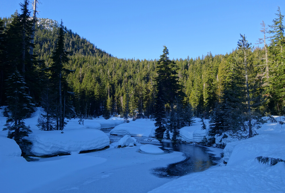
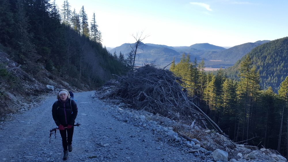
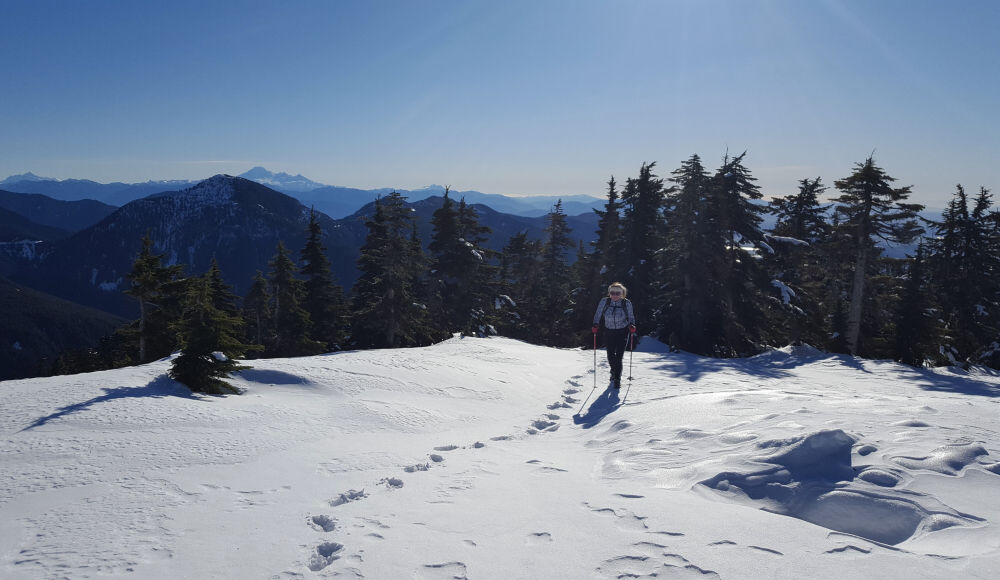
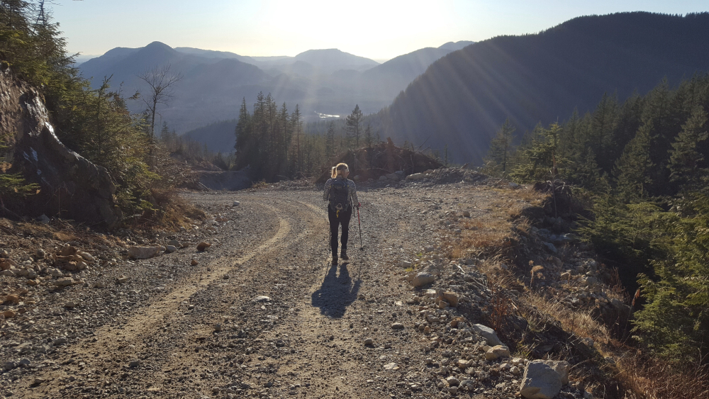
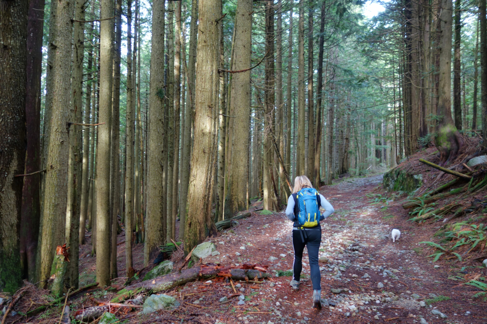
Taking advantage of a spell of nice weather, the high snow line and absence of POW, we set out for a day hike up Mount Saint Benedict. This is another great year-round objective in an area which I refer to as the uplands of Mission District. The peak lies across Stave Lake from Mount Crickmer which I bike'n hiked in Spring '20. Due to the high snow line, we were able to drive the Lost Murdo Creek FSR several km's to where we were stopped by a water bar. Had we driven the truck, we could have continued up the snow-free road to the upper trailhead. Water bars aside, the road was reasonably SUV'able otherwise.
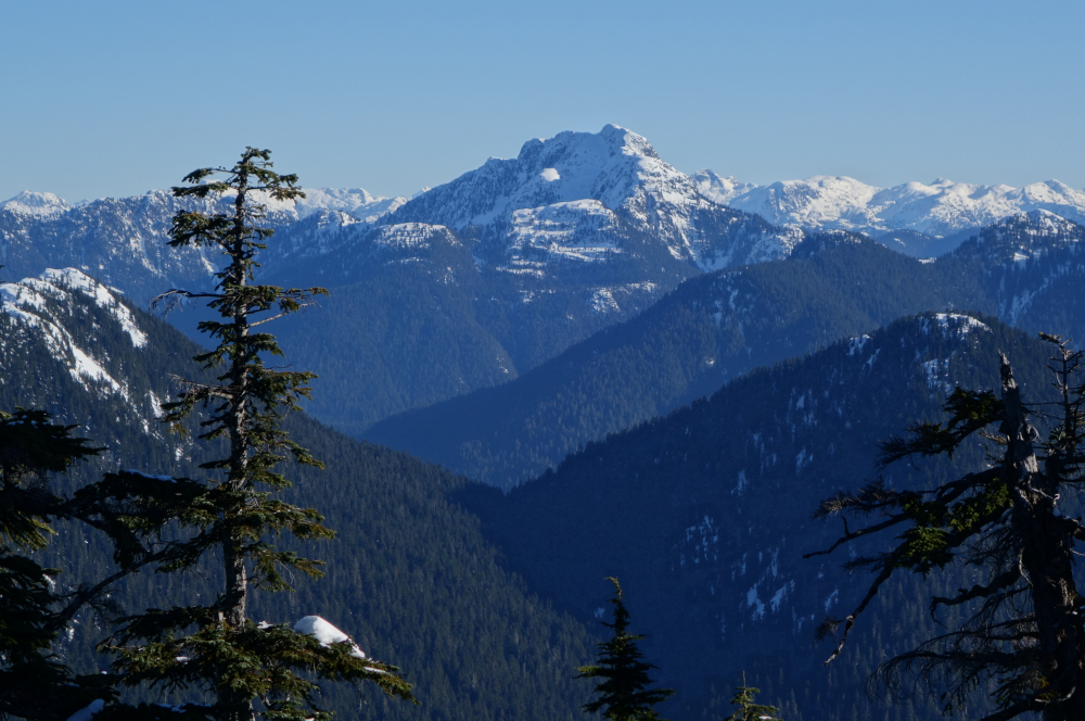
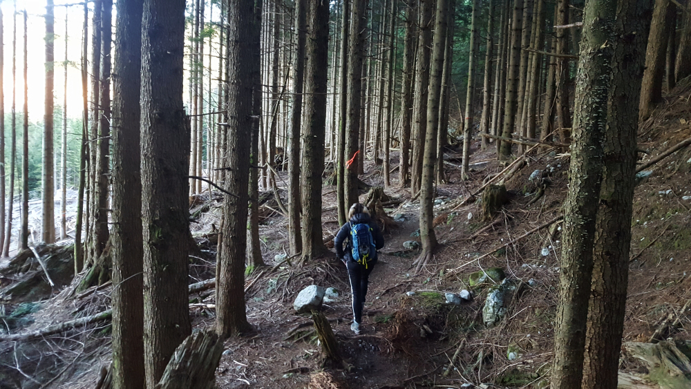
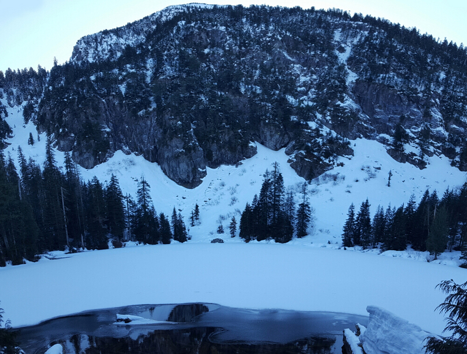
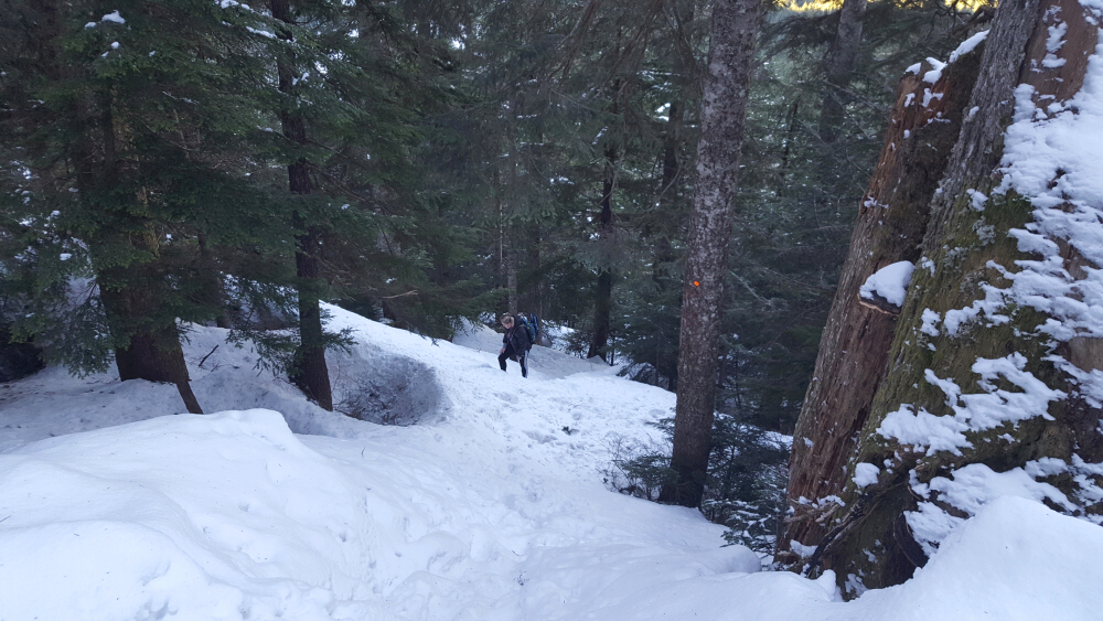
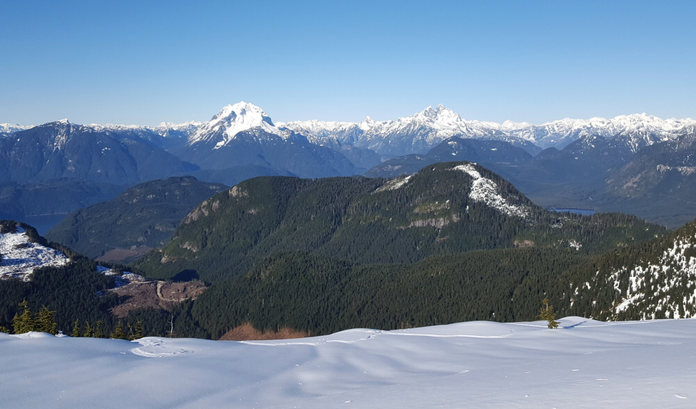
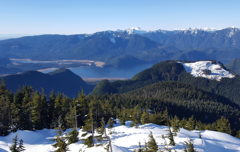
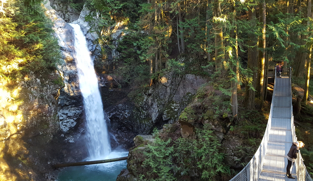
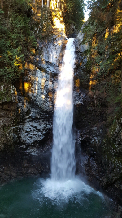
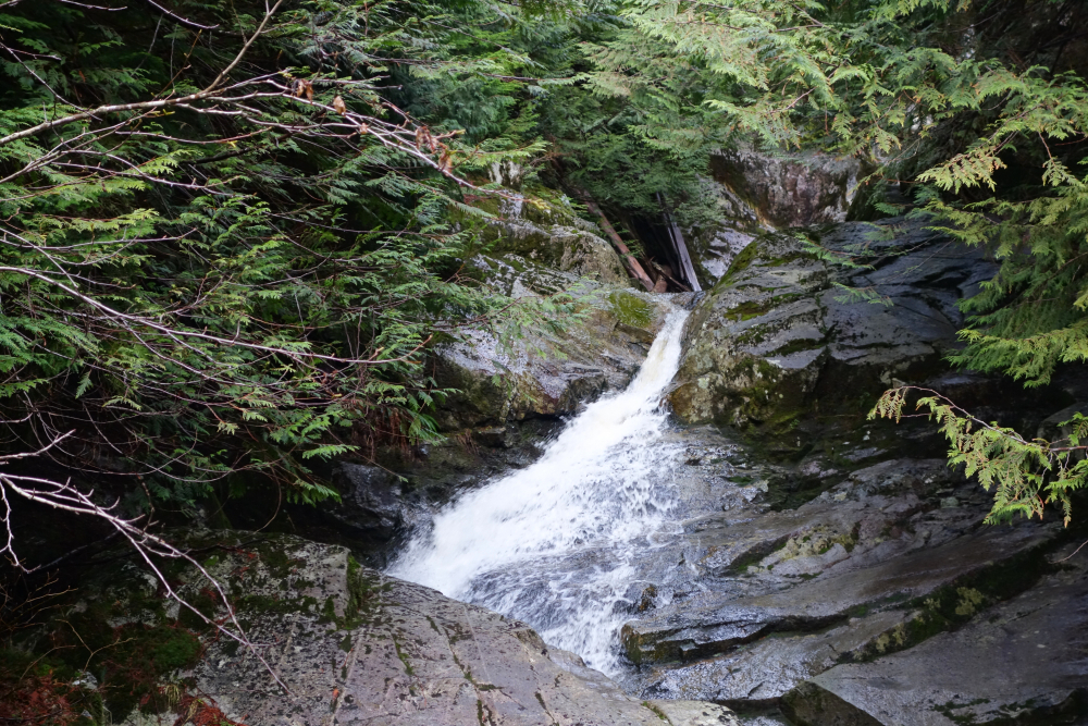
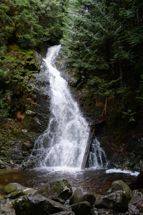
Didn't encounter snow until shortly before McKay Lake, after which it was all snow the rest of the way to the summit. There are orange diamonds on the trees marking the trail and it wasn't long before we found ourselves on an open bench in the sun contemplating the peak's steep north face. Starting from the west side of the peak, the trail essentially corkscrews around the north side before finishing with a short, steep pitch up the east slope to the summit plateau. We enjoyed pleasant views of Mount Robie Reed, Mount Judge Howay, Stave Lake, the Golden Ears range and Fraser Valley from up top. We heard what sounded like a helicopter flying overhead as we were contouring around the lake earlier that morning. It seems to have landed on the summit as we could see the imprint of the skids in the snow up there. Curious... Headed back down after a quick bite to eat as a cold wind was making us shiver. Back to the car without incident, making a short detour to check out nearby Cascade Falls on the drive home. All-in-all, a fine little outing with good access, great views, a pretty lake and a stunning waterfall to round out the day.
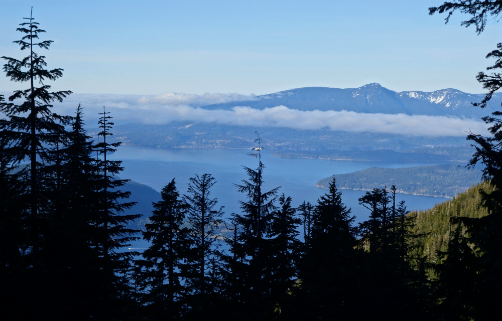
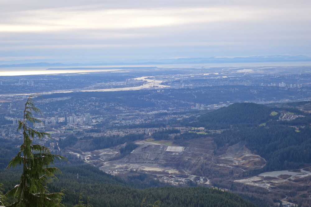
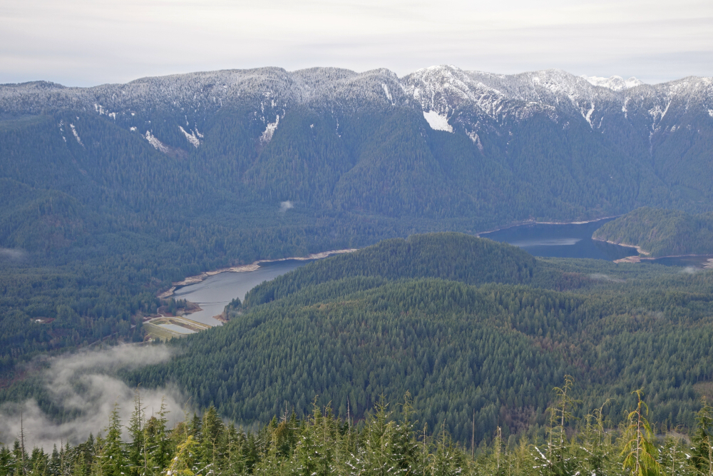
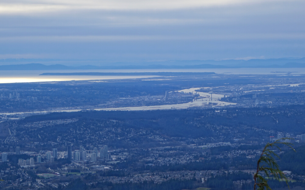
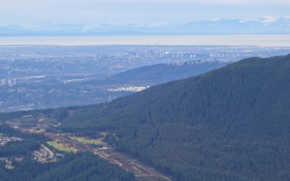
An area of the GVRD "front range" I hadn't yet explored, I was curious about hill country bound between Coquitlam Lake to the west and the much larger Pitt Lake to the east. This slice of the South Coast encompasses Pinecone Burke Provincial Park, a large swath of remote wilderness that extends north to meet with better known Garibaldi Provincial Park. This is where the best parts of Pinecone Burke are found, with Seed Peak being the one summit I've stood atop out thataway thus far. At its southern end and my entry point for this hike, there's not too much of interest to us summiteers other than perhaps Coquitlam Mountain and a couple others; at least not something that's within reasonable striking distance of the metropolitan areas of greater Vancouver.
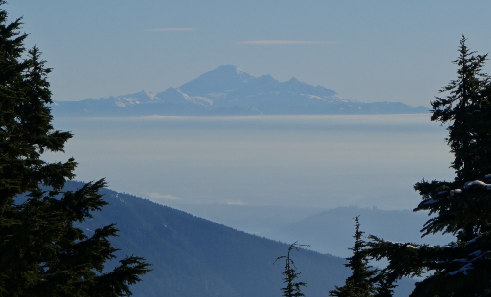
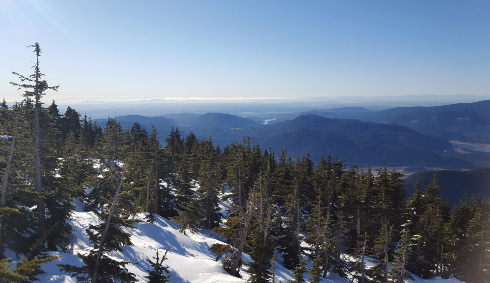
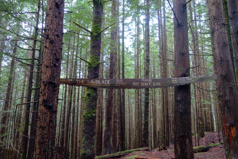
Coquitlam Mountain it also turns out lies wholly within the Coquitlam Lake Watershed and is therefore illegal to ascend...not that that deters the hardened peakbaggers out there mind you. This leaves lesser peaks such as Mount Burke and Widgeon Peak as the runner ups. Perhaps someday I'll look upon the two with more desire, but for now the time and effort to reach these lowly peaks doesn't really inspire me. So, with all that considered I settled on this gem (JK) of an outing instead - Coquitlam Lakeview Trail! This is a semi-popular local hike that barely scratches the surface of said provincial park. It features, not an actual summit but rather a lookout with a decent view, of...you guessed it, Coquitlam Lake, as well as a chunk of the Lower Mainland with the Fraser River meandering across it. Also, a great perspective on Point Roberts with the Salish Sea and Vancouver Island in the distance. Anyway, this was our first outing for 2021, and at about 13 km round trip also a good choice for when Winter conditions prevail. We returned via Sawblade Falls making a bit of a lollipop loop out of it for a pleasant day of "Pinecone-Burke'ing".
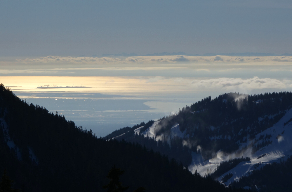
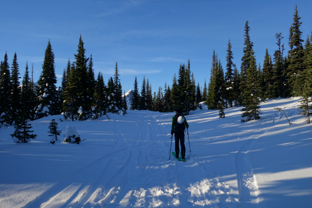
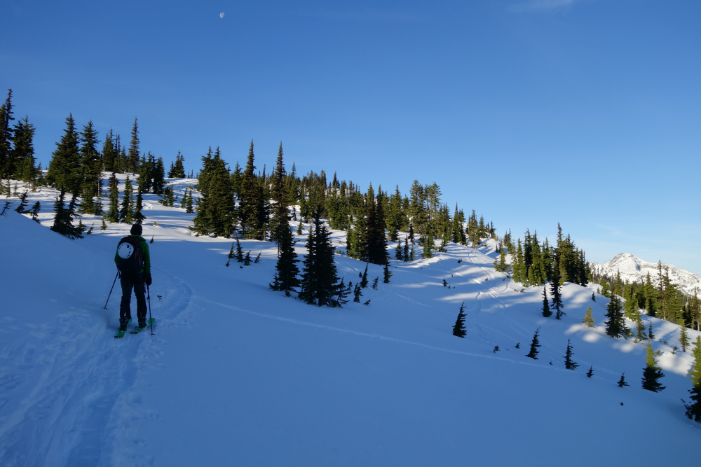
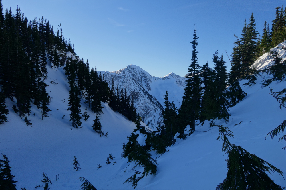
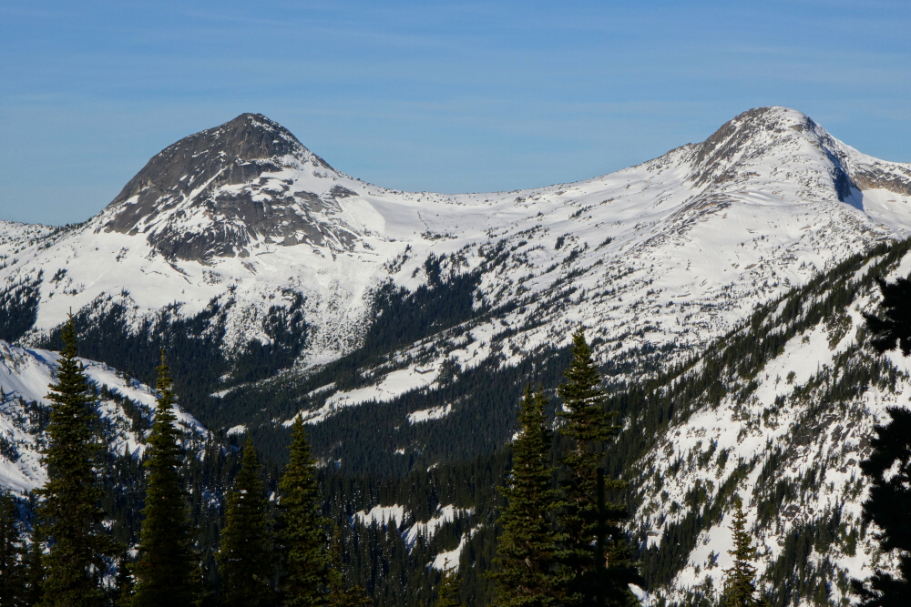
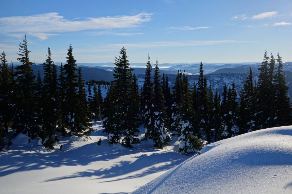
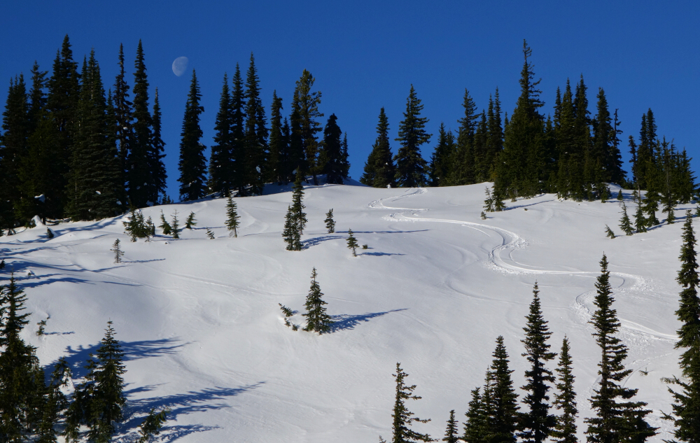
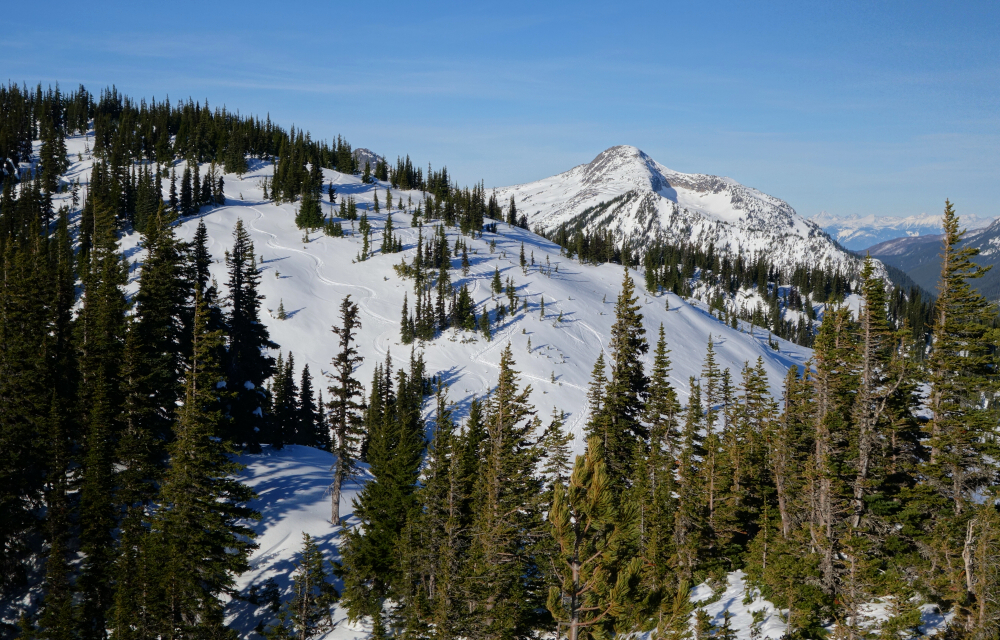
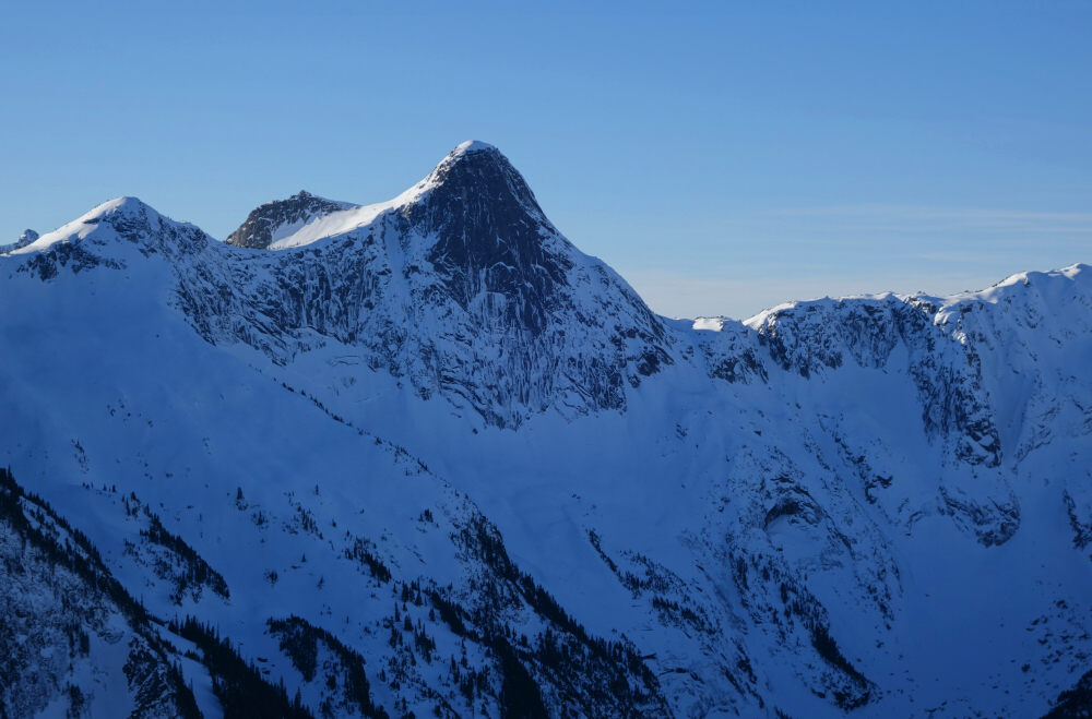
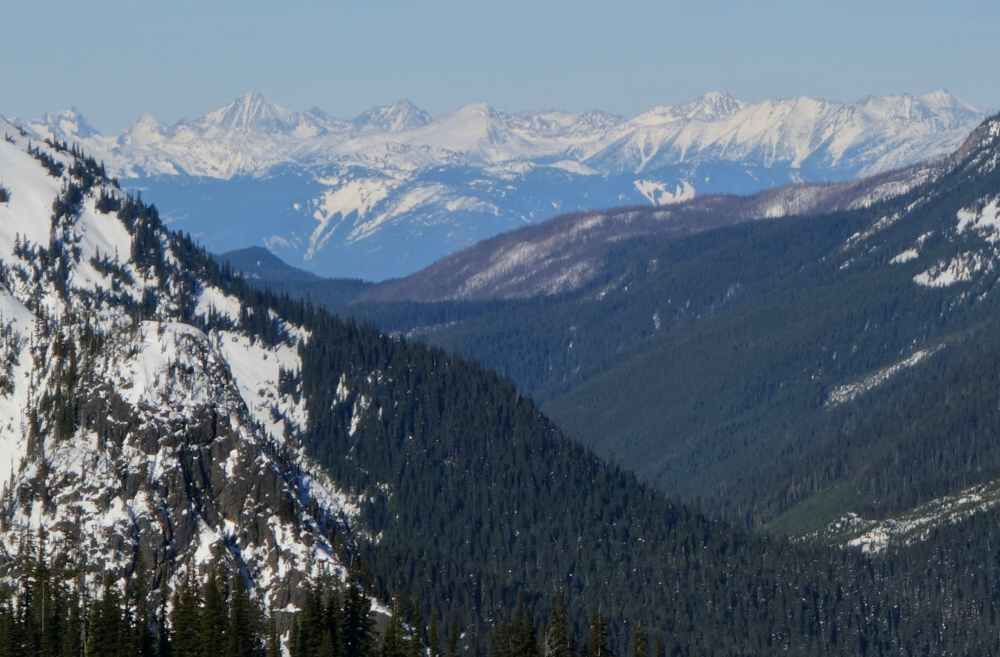
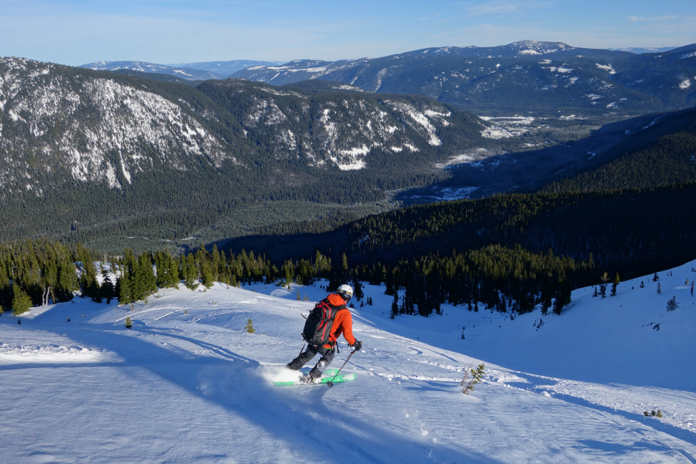
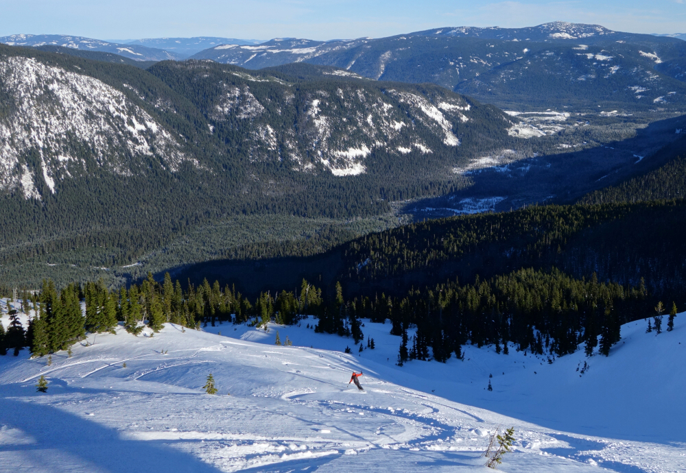
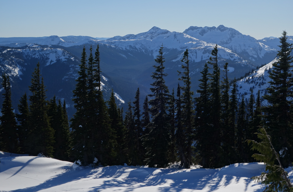
Ski season at last! Paired up with Bryant for my first turns off the "Coq". A popular year-round objective, Zoa's a good venue during times of questionable avalanche conditions as well as shaking off the dust after a long summer of no shredding! Parked at the large, plowed parking area off Falls Lake Road and made short work of the skin up to the summer trailhead. Up through forest for a bit then gained a broad ridge with increasing views. Crested a subsummit whereupon we could see the objective and slopes we intended to ski. All looked good with just a handful of tracks from prior parties. A short ski down to a saddle and final skin back up saw us to summit proper. Great views towards the Andersen River peaks, Coquihalla Mountain, Yak Peak's impressive North Face, a range of distant peaks flanking the west side of the Fraser Canyon and finally the rolling hills that dominate the country to the east. Made a few enjoyable laps down Zoa's NE slopes before calling it a day. Easy access, great snow and options for further exploration; were it not for the long ass drive, I'd give it 2 thumbs up.
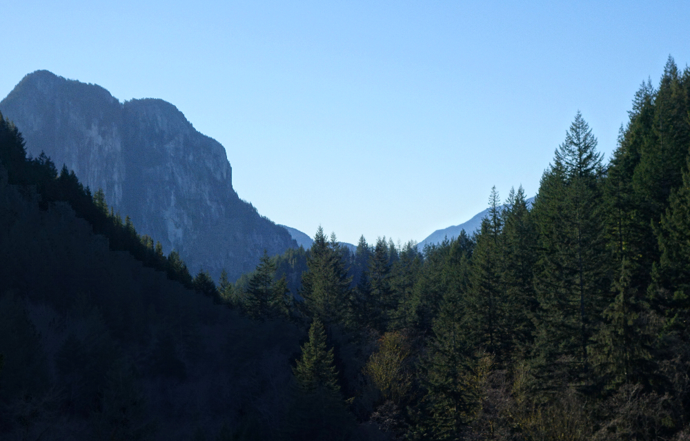
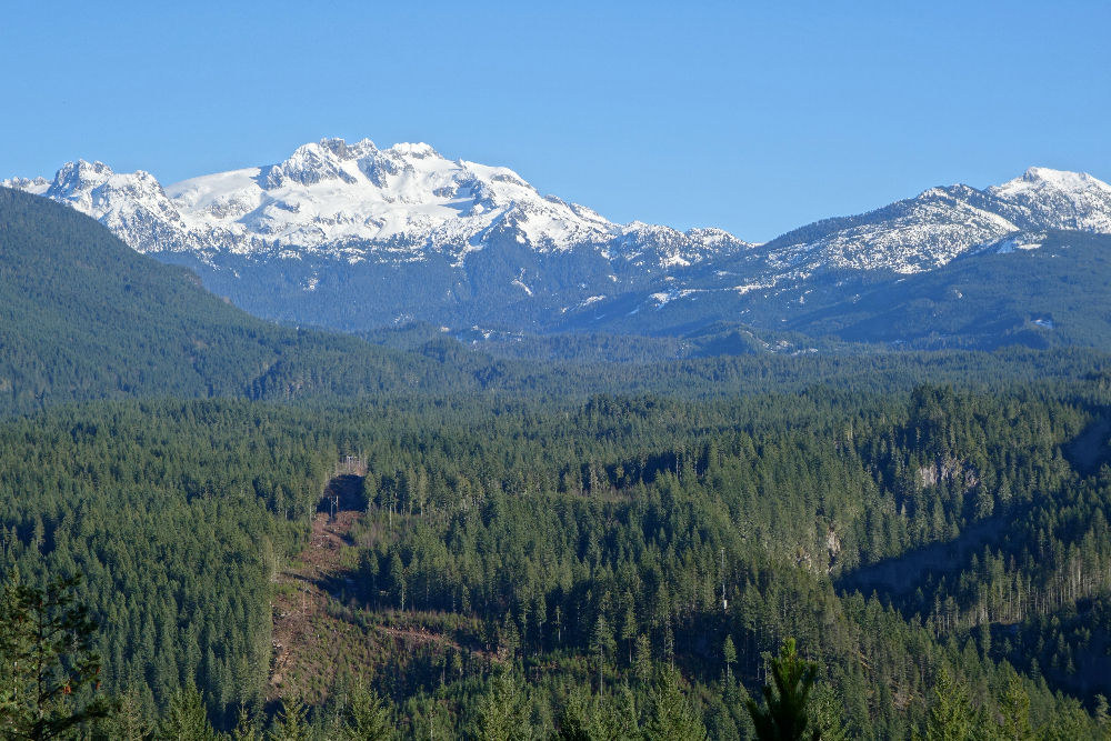
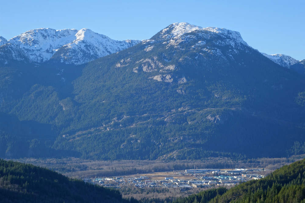
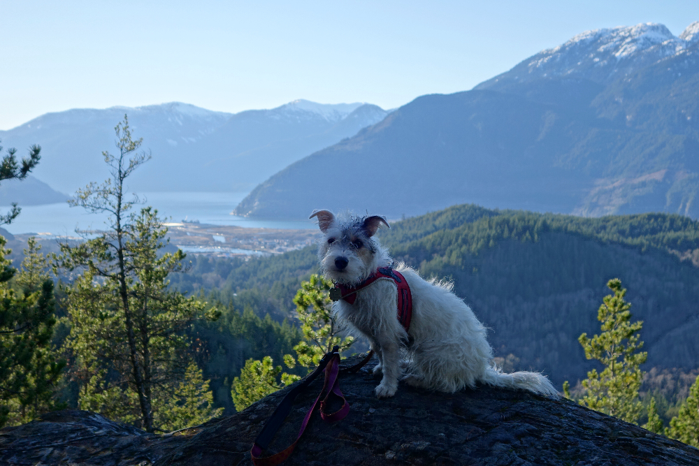
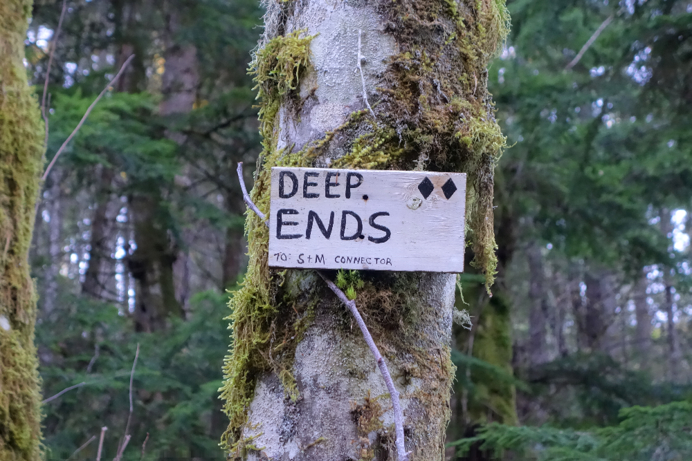
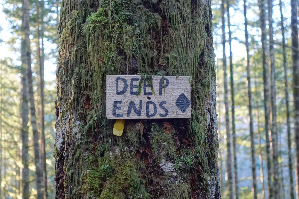
Mount Crumpit - Clockwise from Westway Ave, December 2020
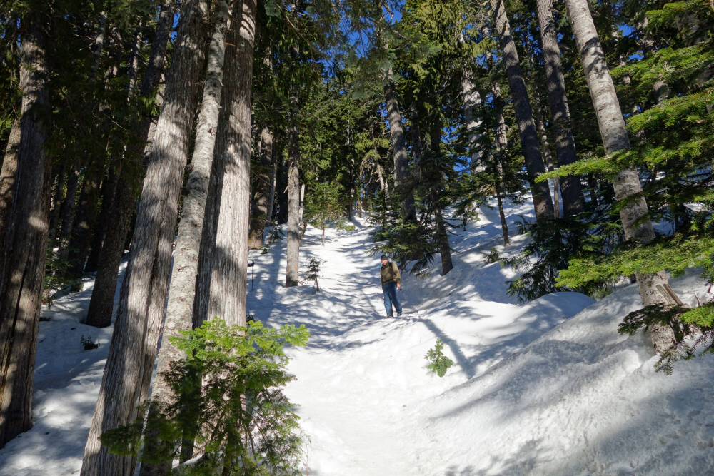
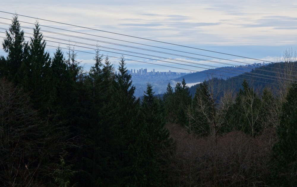
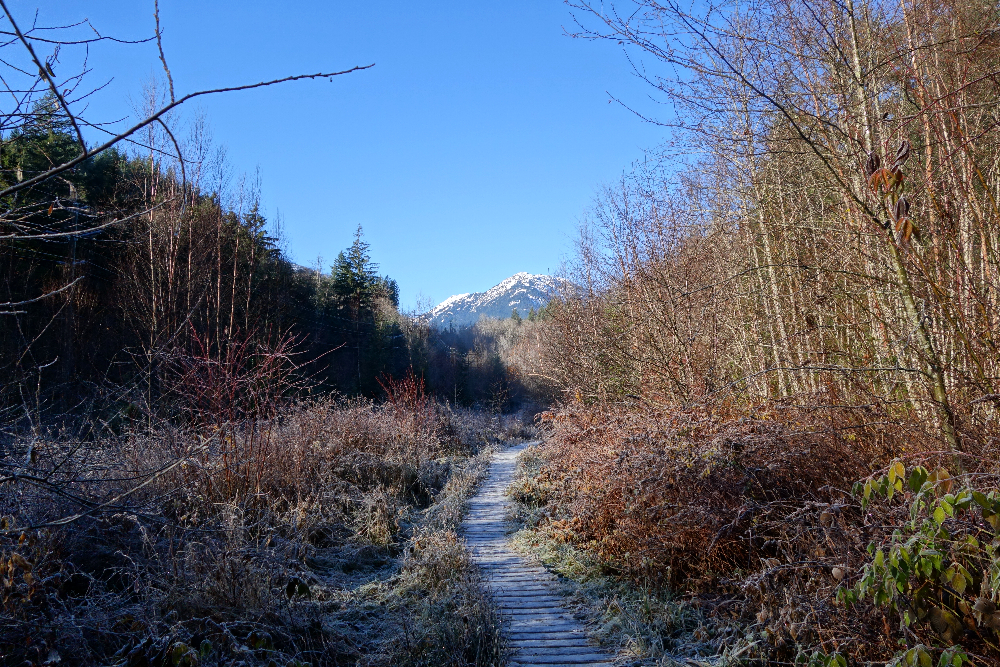
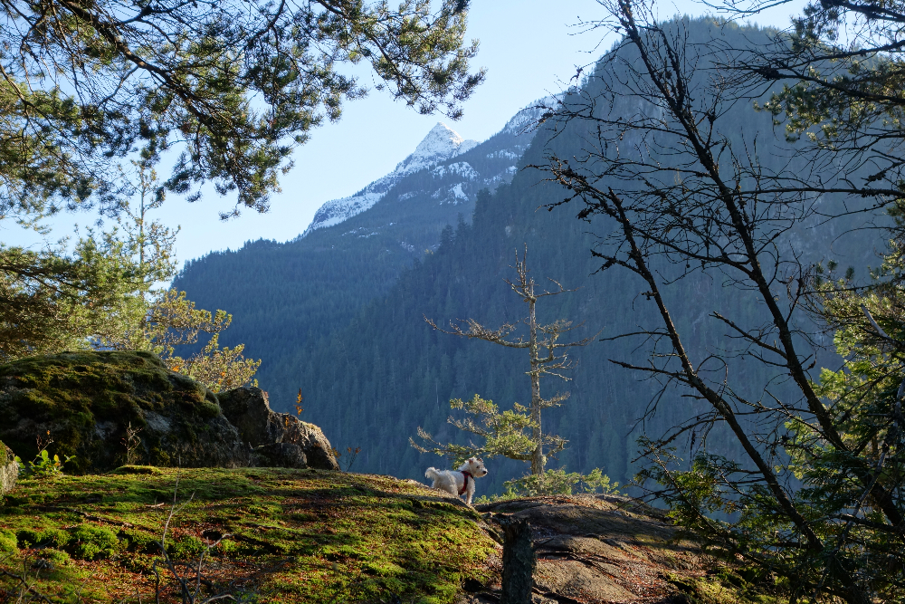
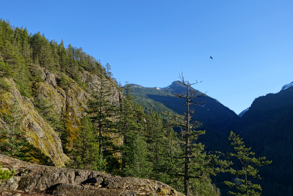
Mount Crumpit is an unremarkable forested hill within Squamish city limits with surprisingly good views. For the peakbaggers among us, it provides a satisfying loop hike with several viewpoints that look towards Mamquam Mountain, Stawamus Chief, Howe Sound, and across the town of Squamish towards the higher peaks to the west and north. It makes for a great shoulder season venue, particularly on a crisp and clear December day like I experienced.
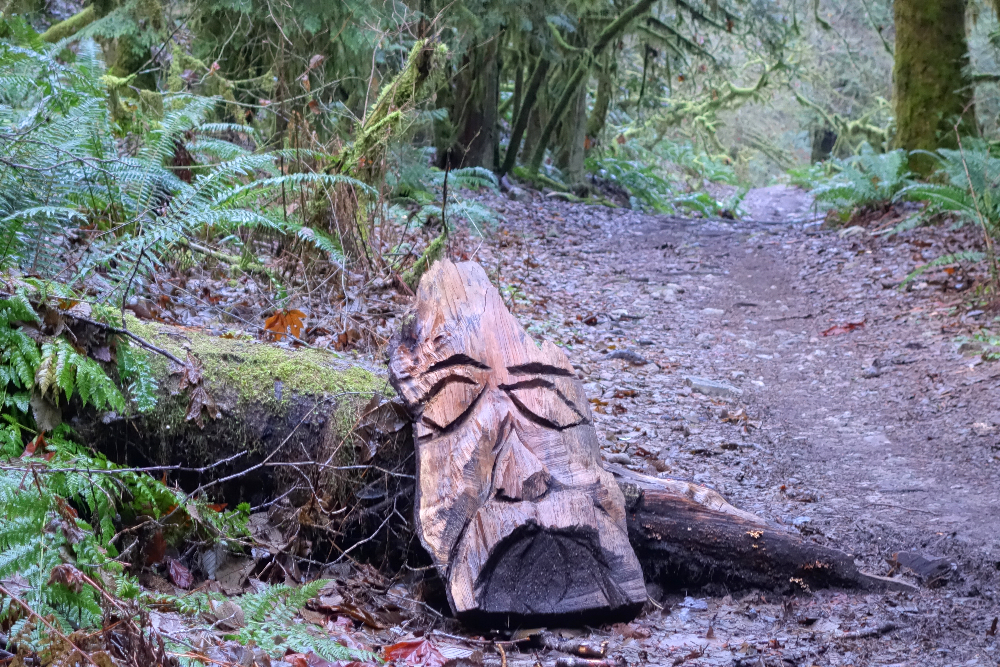
The trails here are popular with hikers and mountain bikers alike, and are a bit of a maze for those without a keen sense of direction. Starting from a trailhead off Westward Avenue, I made a clockwise loop starting with the S&M Connector trail as it proceeds up a small valley. From there I turned right onto the Fatherside Trail at which point the climbing begins. There were several junctions and other trails that I followed beyond this point, but won't go into any of that as details for this hike abound on the interwebs. A short bit of hands-on scrambling just below the treed no-view summit provides a bit of excitement for human and pup alike, followed by several more viewpoints along the trail now descending from the highpoint. I eventually rejoined the S&M Connector trail and returned to where I started a few short hours earlier. Downed the obligatory brewski and commenced my "essential travel" back home. Cheers!
It would be very much appreciated if you please ask before copying and/or re-publishing content from any part of these pages. To do so, please click here to send a message via feedback form.


.")


