Select from list below to jump to a specific area on this site.
| Latest Posts |
Saturday, December 26, 2020
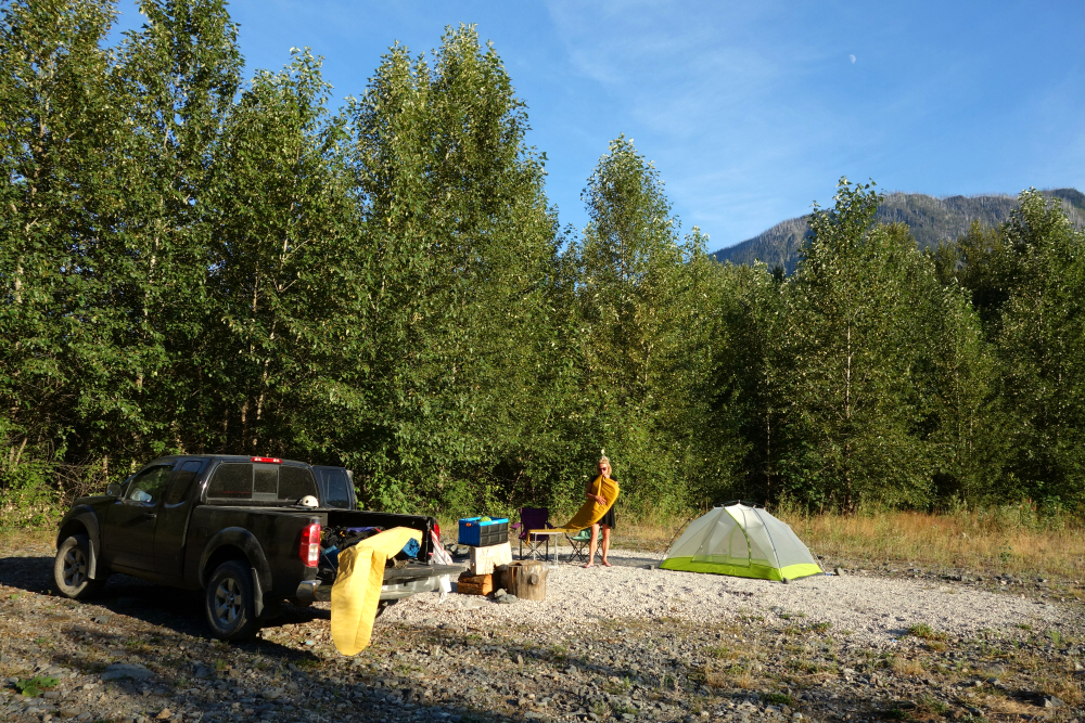
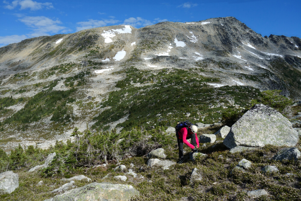
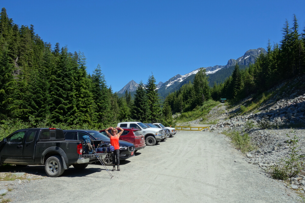
Beaujolais & Mystery - via Hope Creek FSR, July 2020
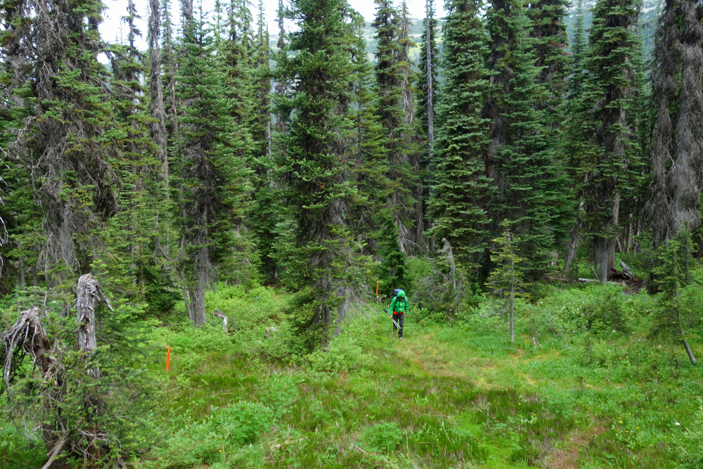
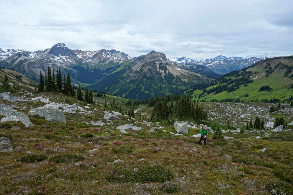
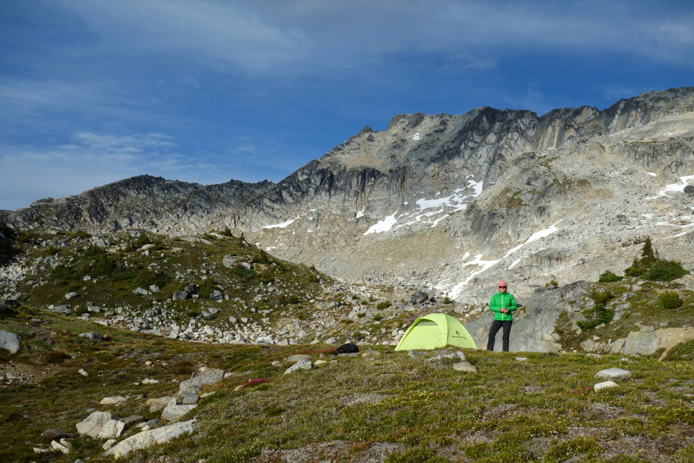
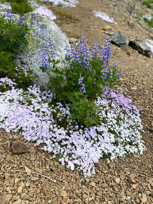
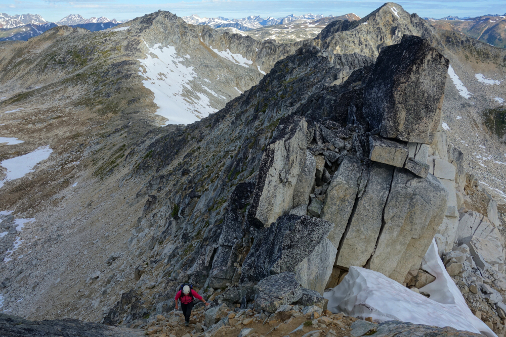
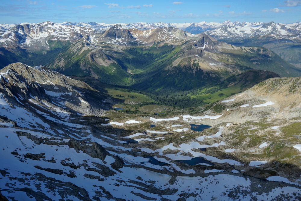
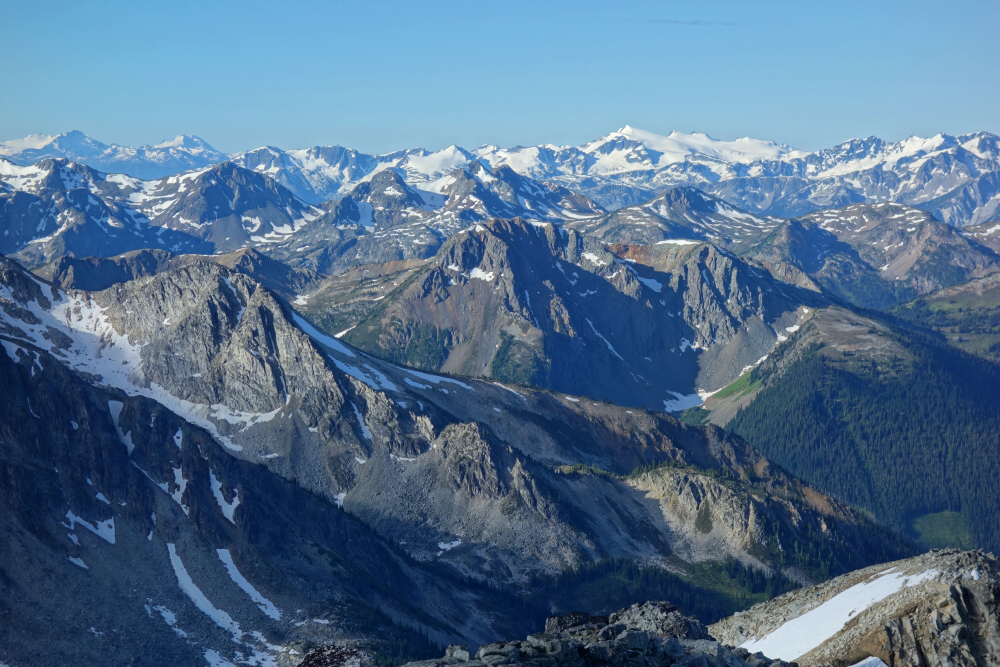
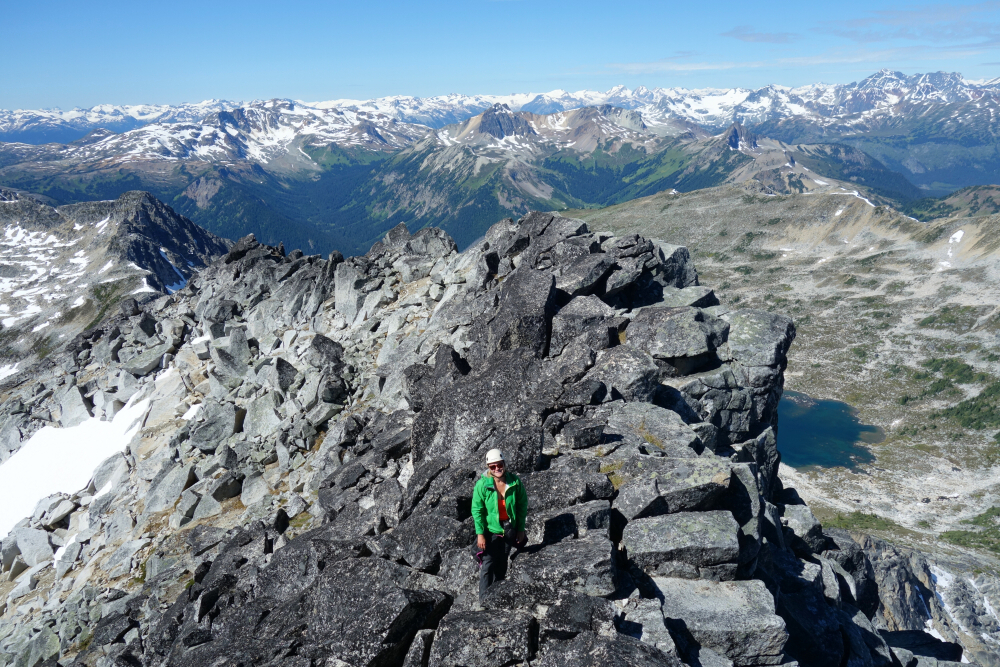
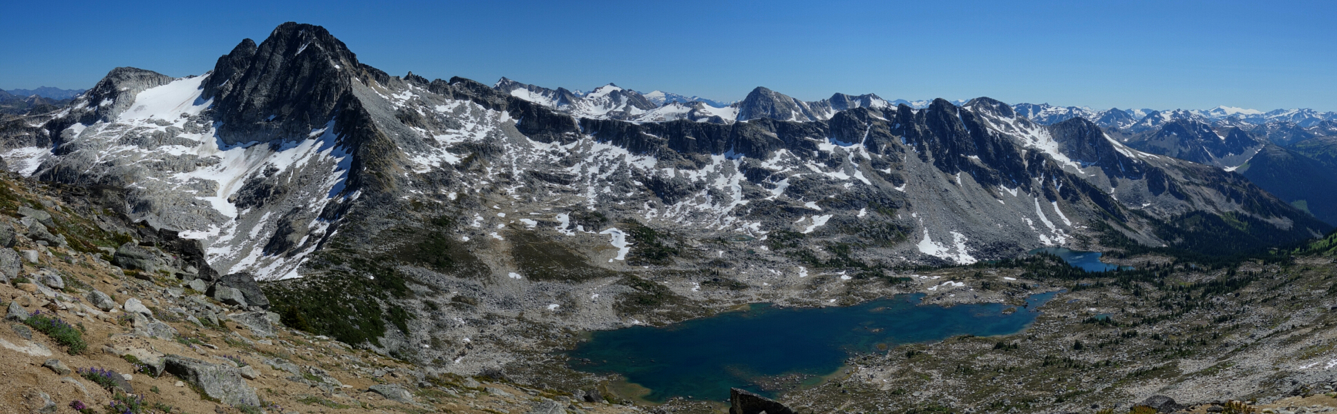
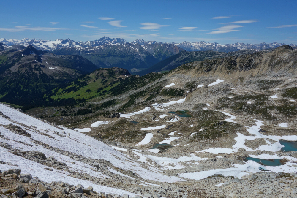
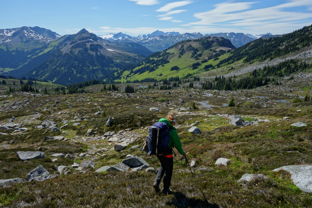
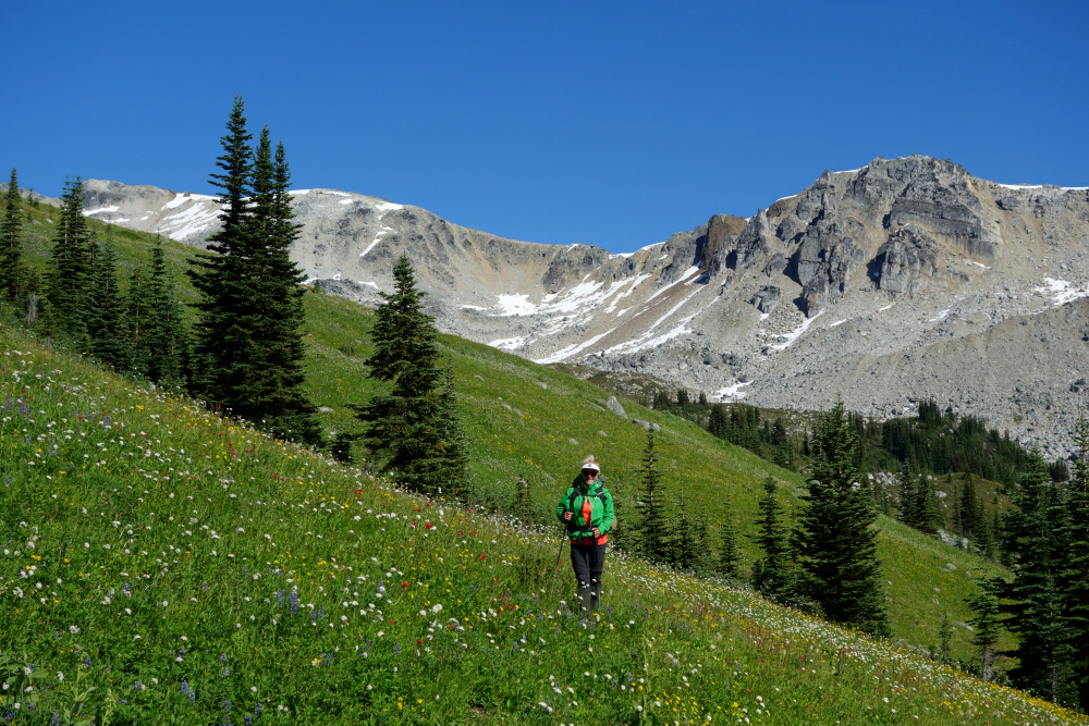
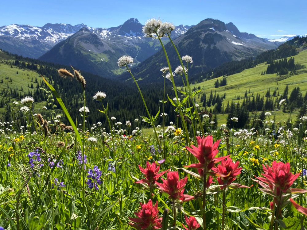
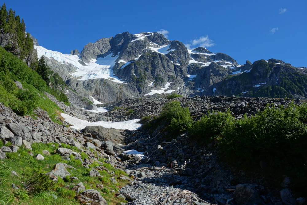
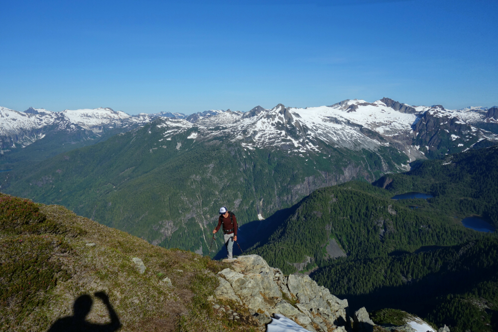
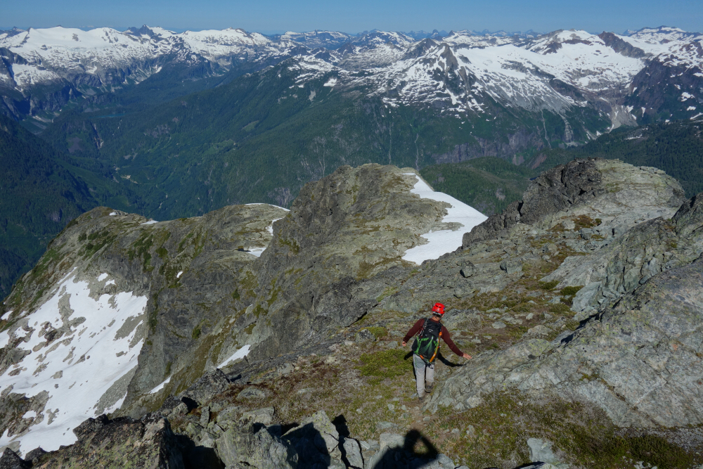
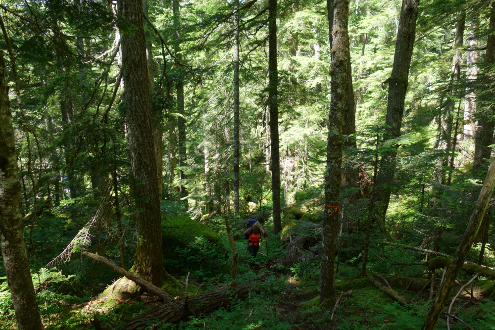
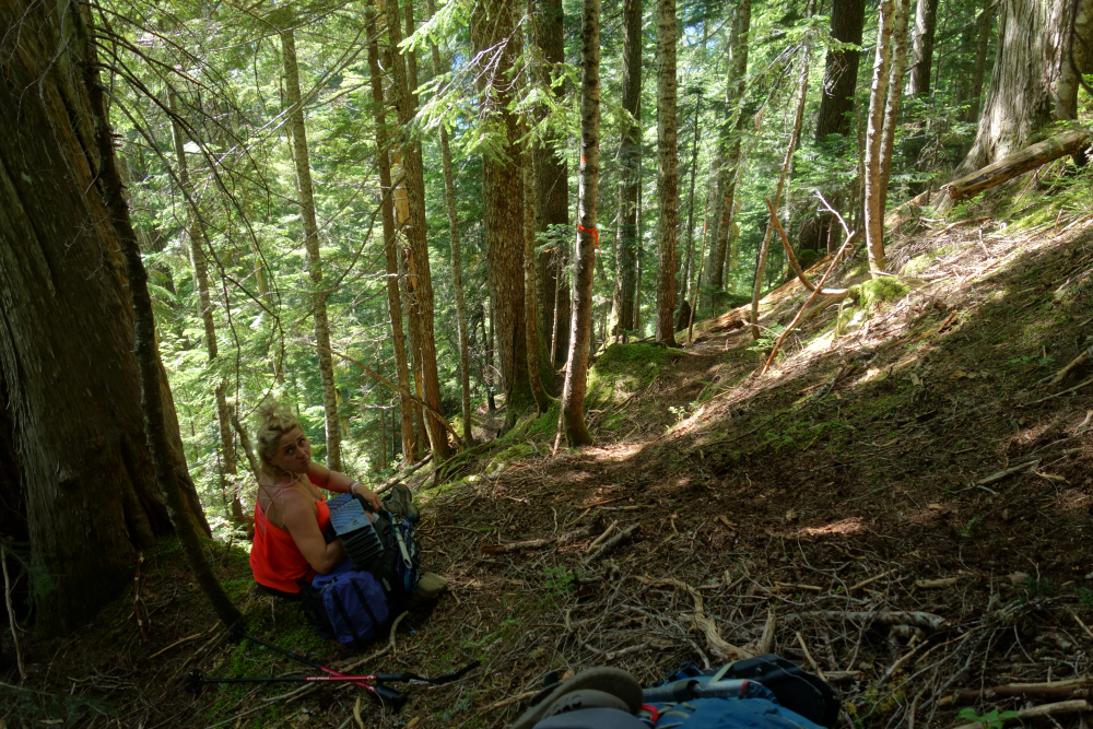
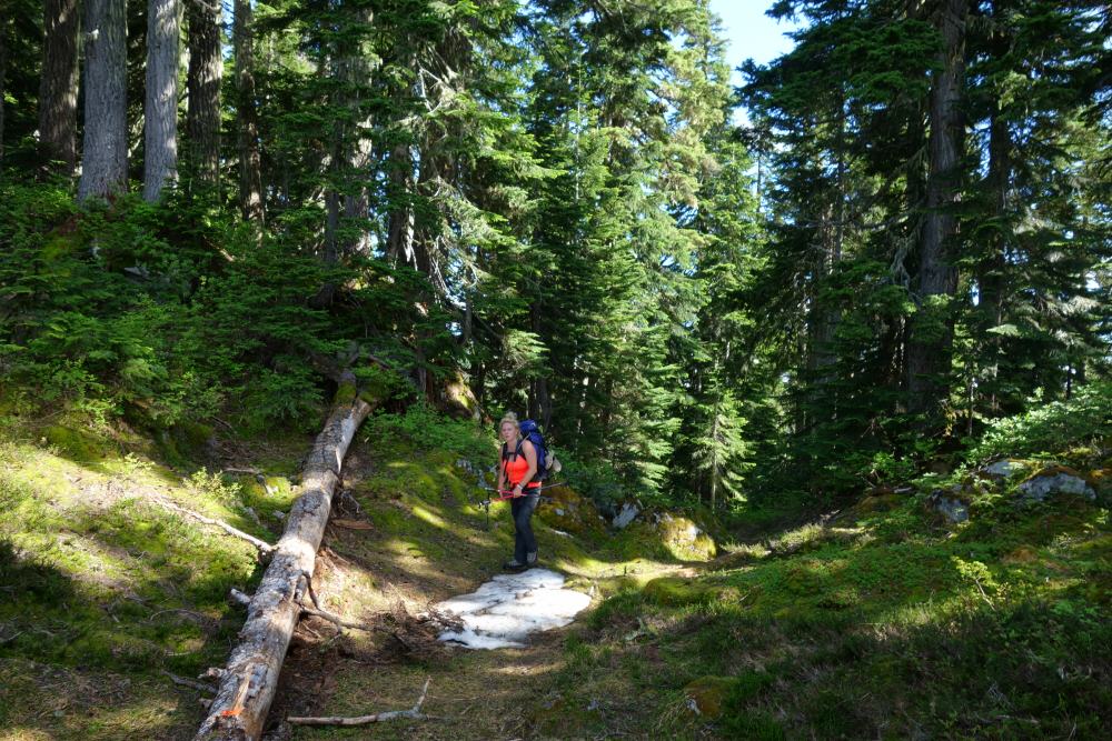
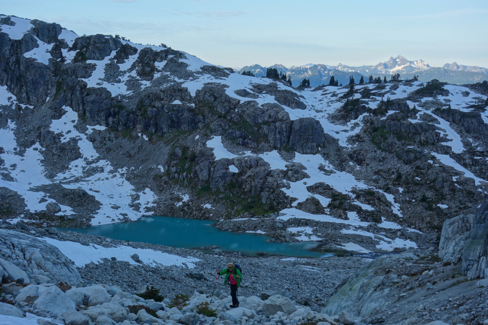
Back up over the Hurley to the headwaters of Birkenhead River and the land of wildflowers, granite, and skeeters. Drove up Hope Creek FSR as far as our tolerance for pinstriping allowed and hoofed the remaining couple kms along with several thousand of our closest mosquito friends to the switchback that marks the trailhead. New(ish) flagging eliminated any guesswork with where to go and we gained the treed saddle from where the normal routes to Beaujolais and Mystery diverge (hereafter B & M). Followed flagging leftwards for B eventually reaching a heather bench which we crossed, contouring below some minor cragginess above. Fairly obvious where to go from here - traverse the flowery meadows!
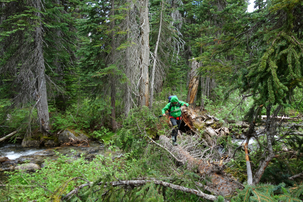
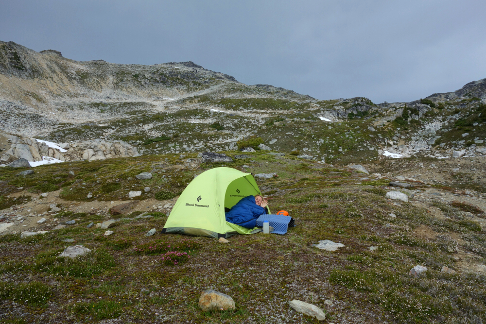
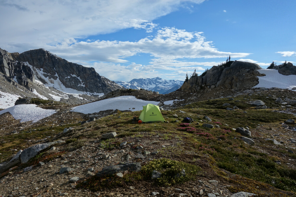
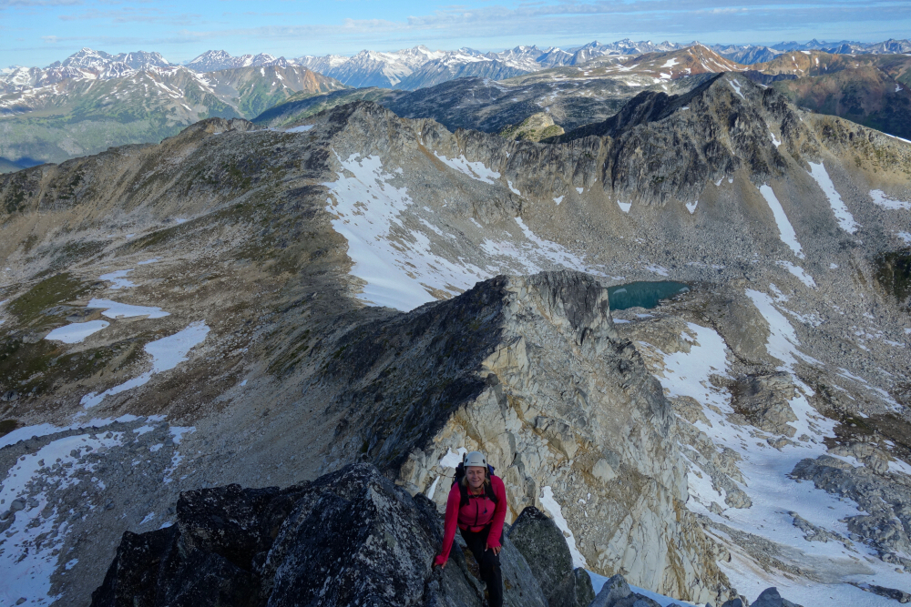
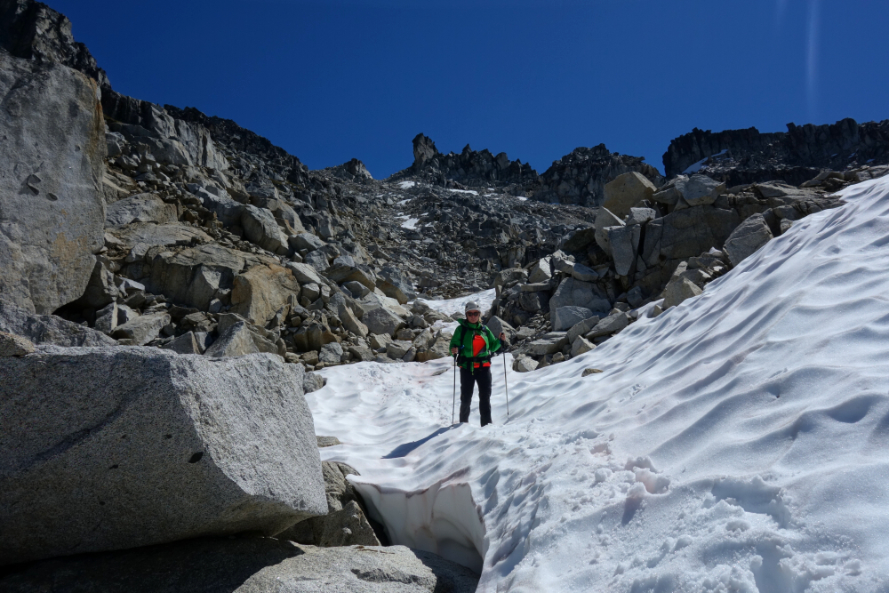
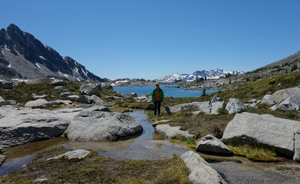
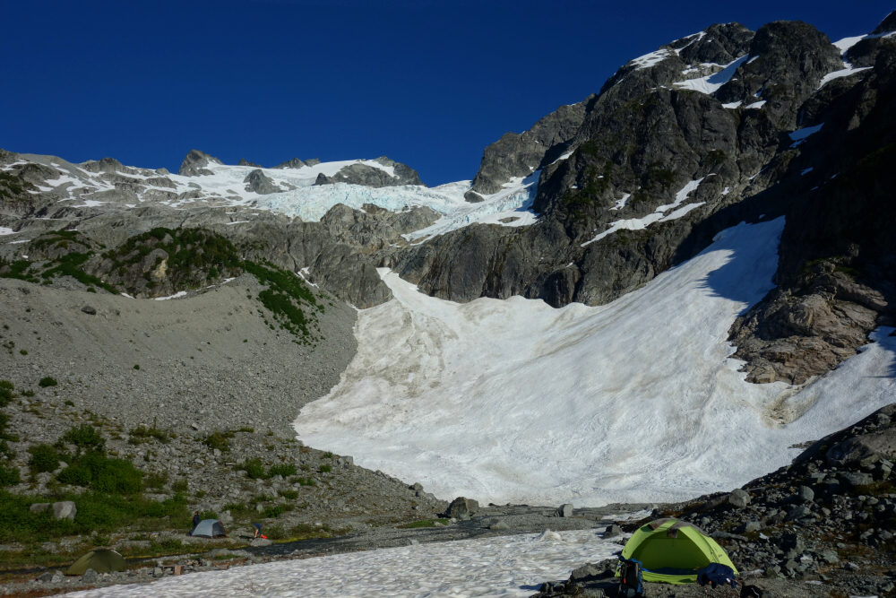
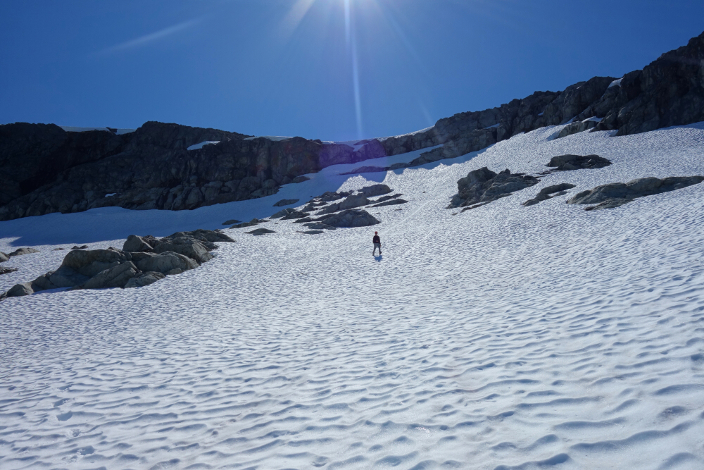
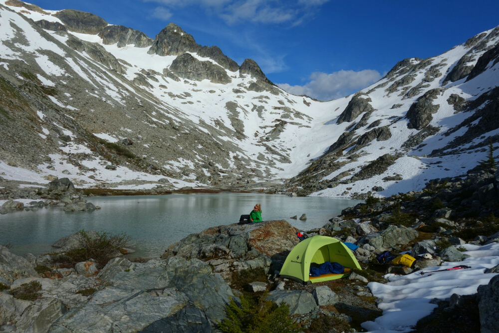
Unrelenting mozzies kept pushing us upwards in search of a flat spot to camp, which we eventually located at about 6500ft. A passing disturbance resulting in a good couple hours of rain (not sure how I didn't notice this brewing) put the kibosh on climbing B's aesthetic East Ridge on this day. The plan therefore was revised for both B & M the following day, returning from camp the way we came in. Yup, that means an additional 1000 ft on return from M up and over the ridge separating the two mountain basins. Oh joy!
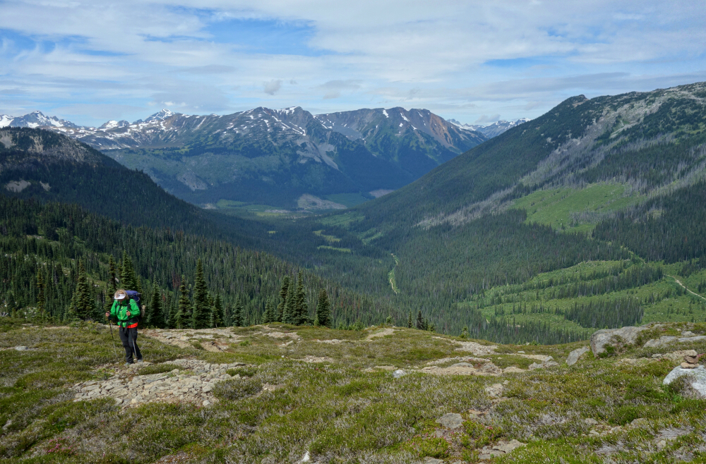
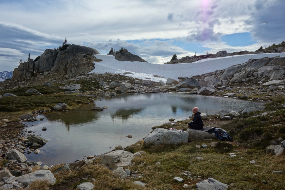
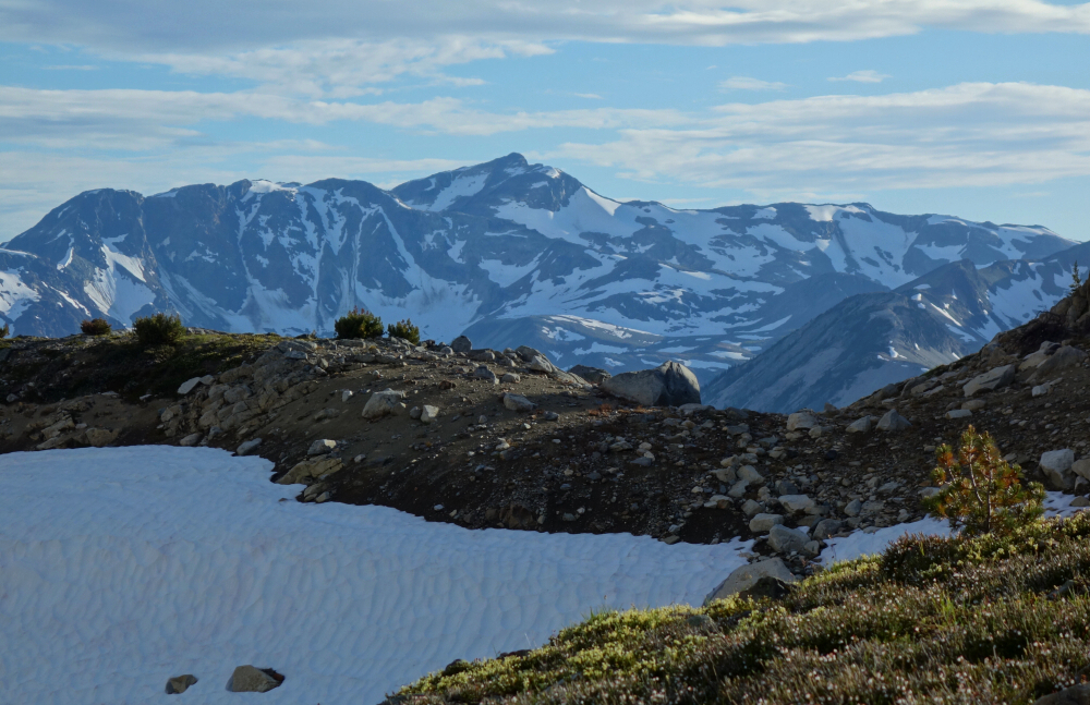
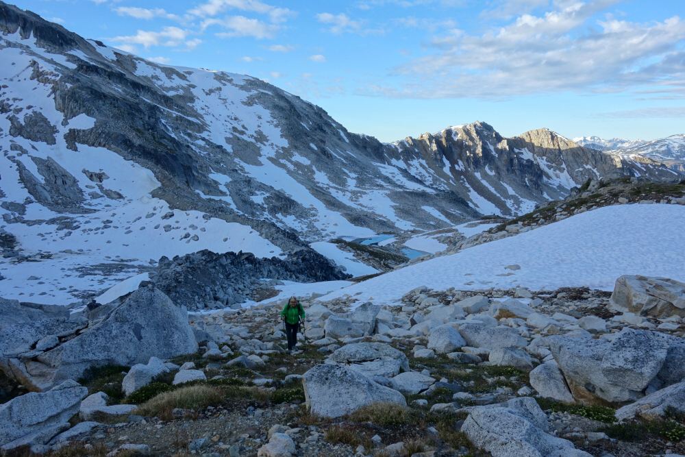
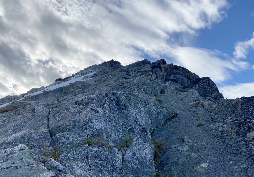
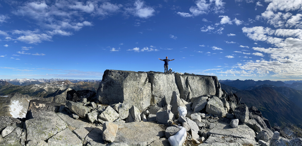
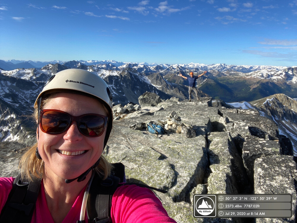
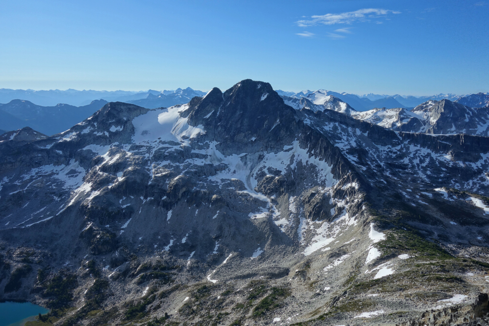
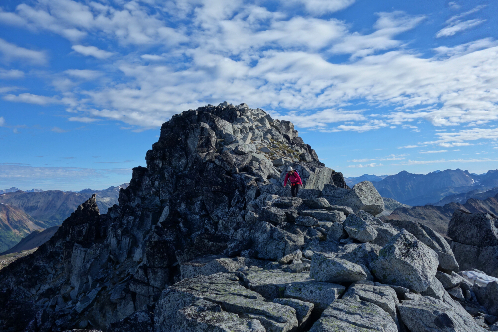
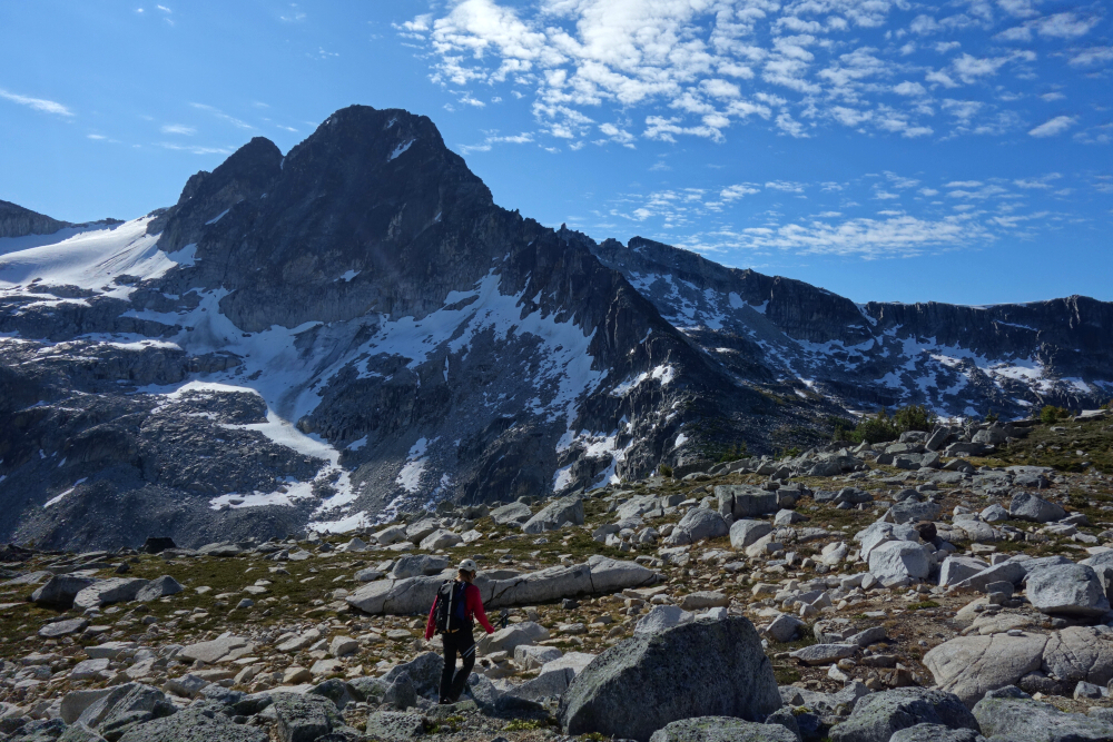
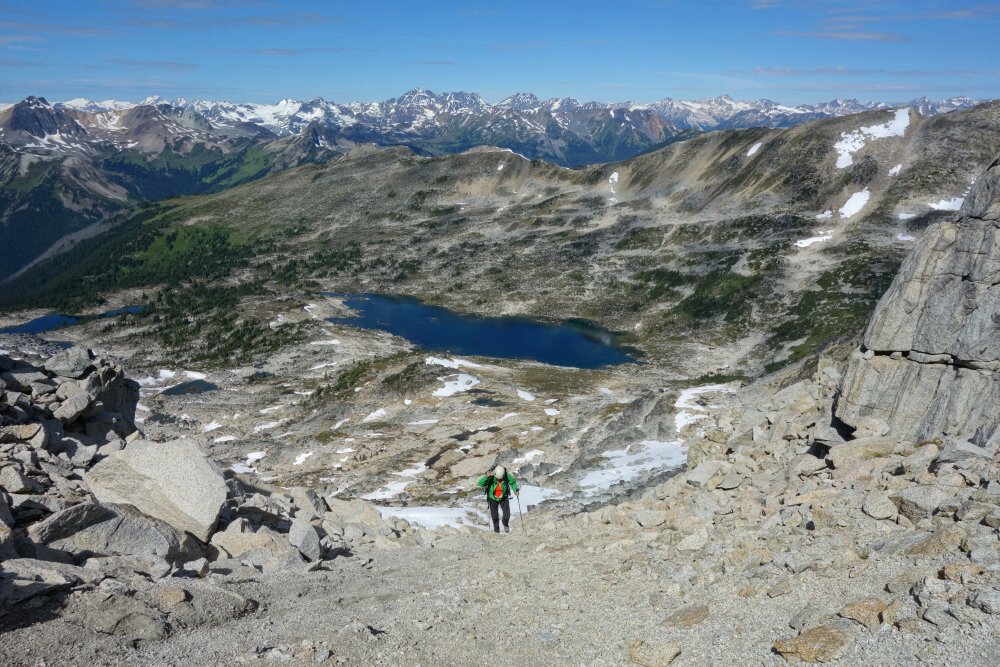
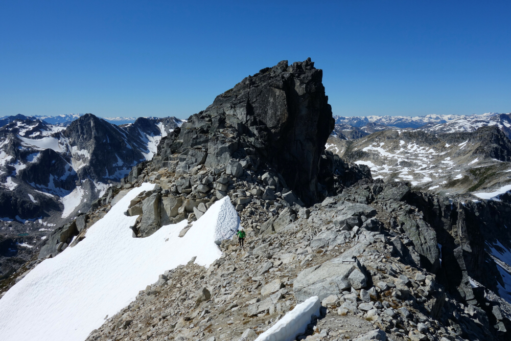
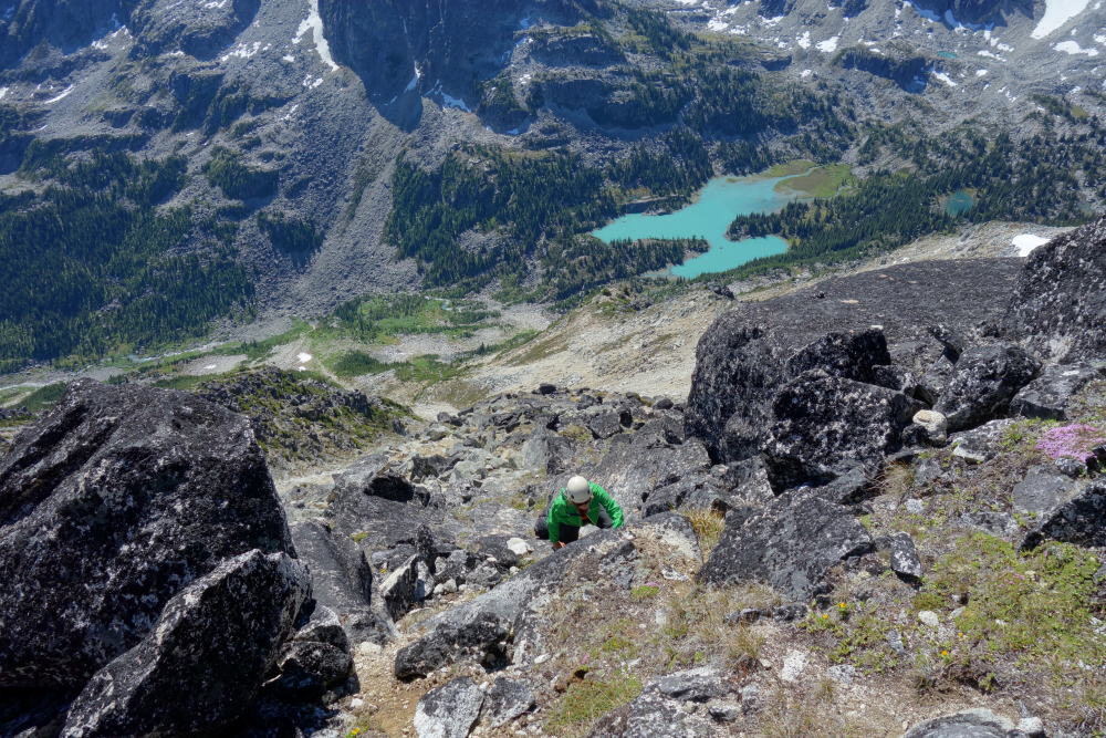
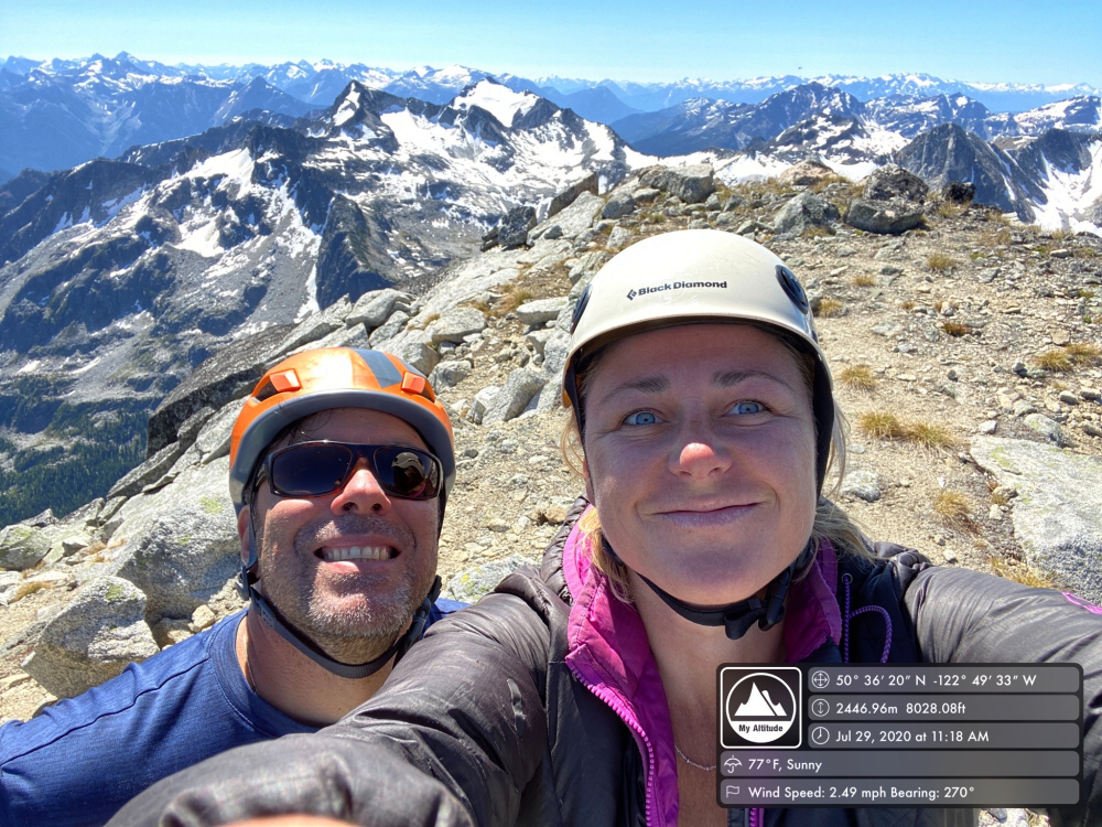
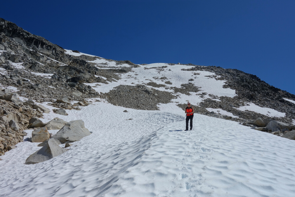
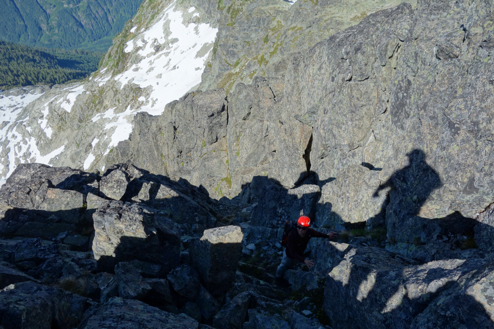
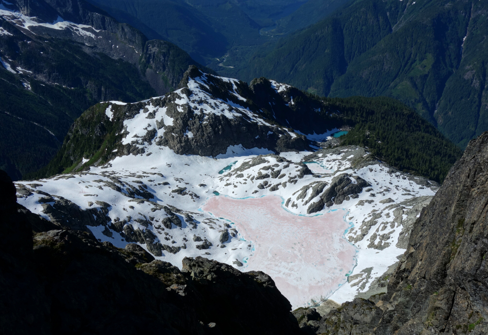
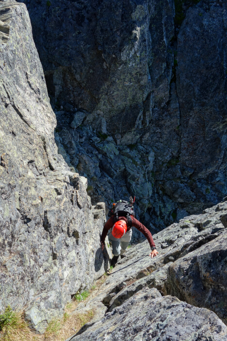
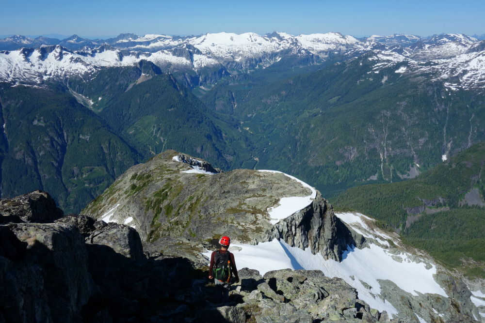
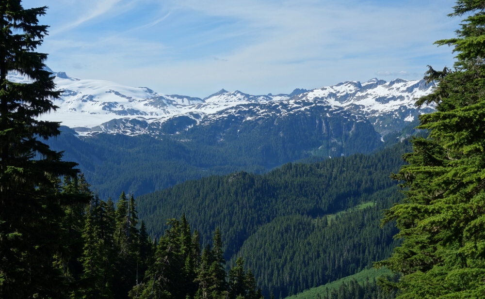
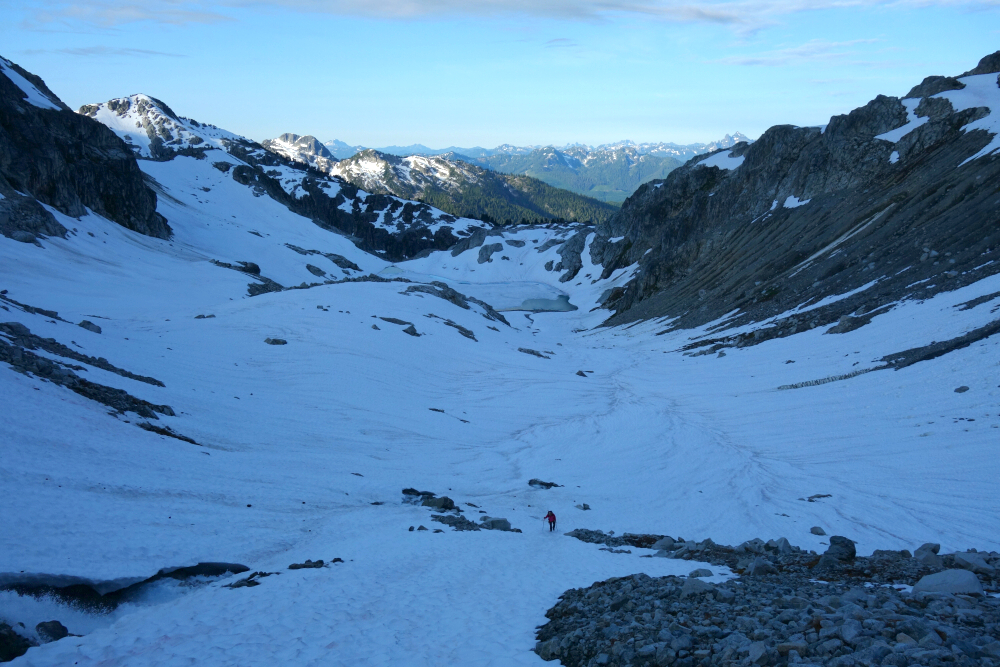
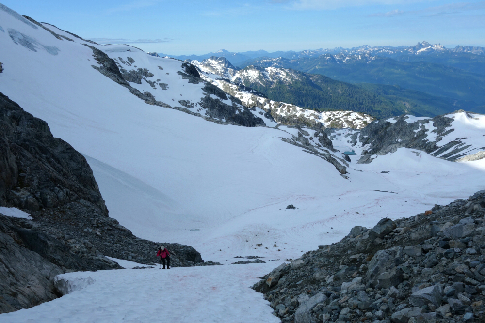
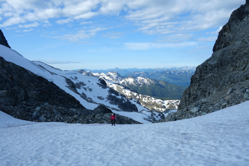
Dispatched B in 1.5 hrs the next morning, thoroughly enjoying the crux slab pitch. Yay, no bugs finally. Then down scree and gravel on the SE side to the pass between B & M and over towards M's west basin. A final grunt up snow and talus saw us to the 7500 ft col on the South Ridge. Turned left and followed the path of least resistance through enjoyable scrambling terrain with relatively moderate exposure to reach M summit. Hung out for about 30 before starting the long trek back down to "Mystery Lake". Then back up the opposite side via an endless heather pitch, traversing left shortly before the crest to reach a high snow and scree slope allowing for a relatively straightforward forward descent back to camp. Packed up and hightailed it out of there for a fine ~12 hr day of alpine rambling. Mosquito misery aside, this is a very scenic area and makes for an enjoyable outing. Highly recommended!
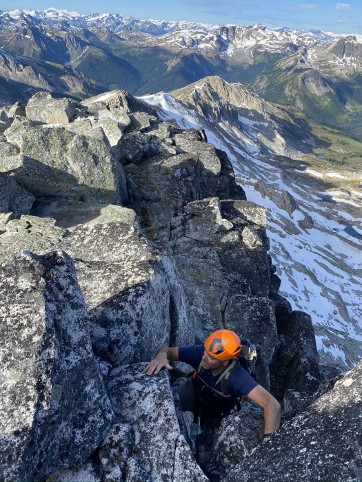
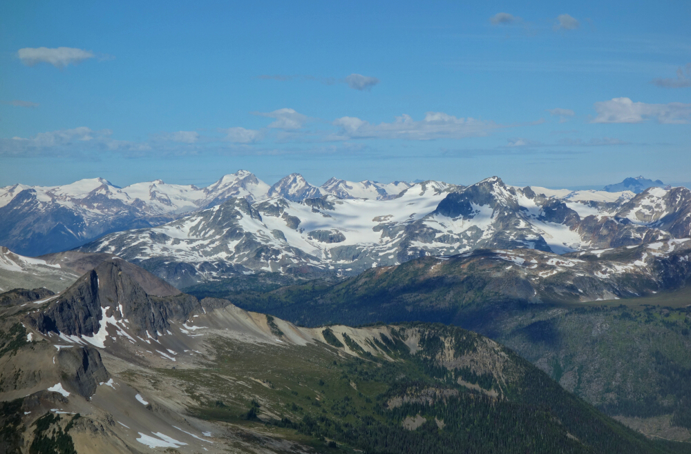
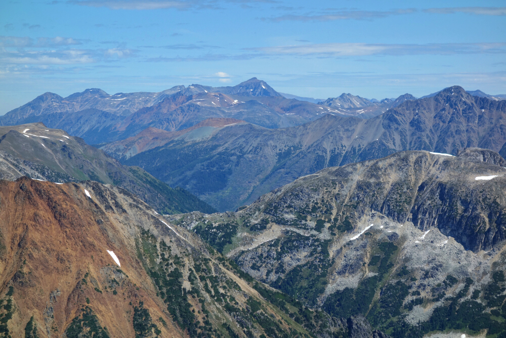
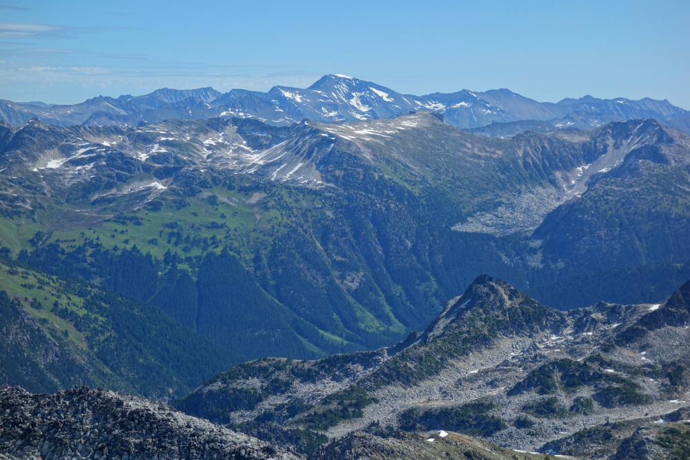
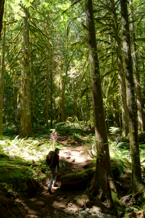
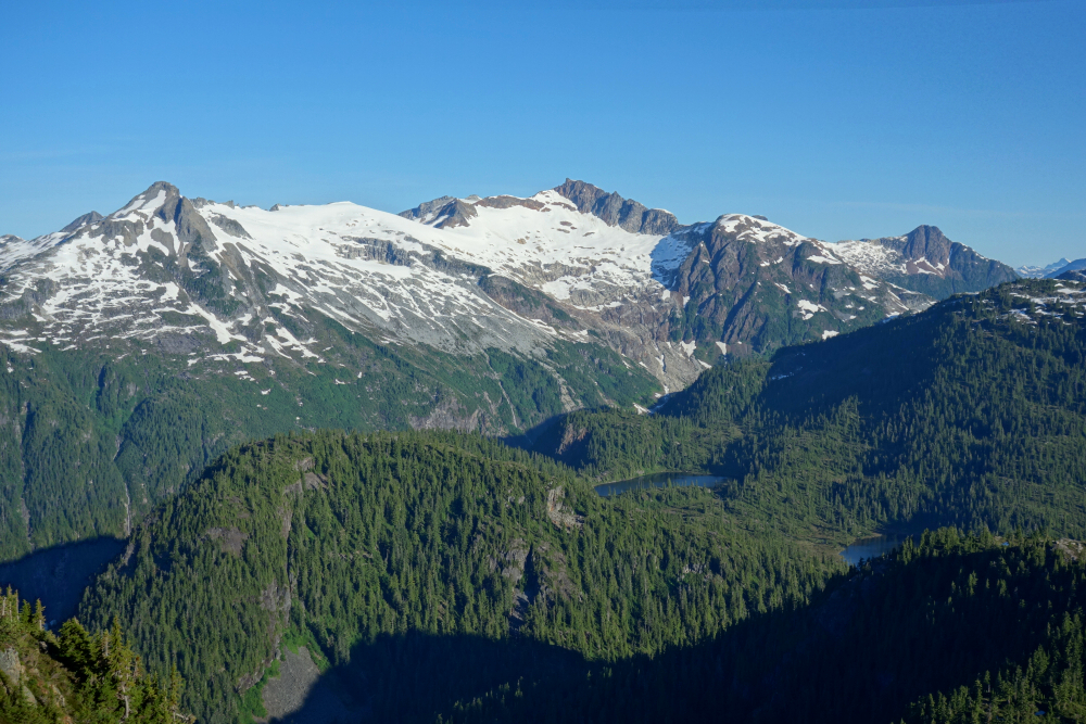
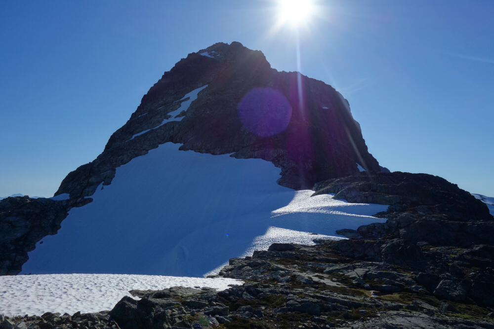
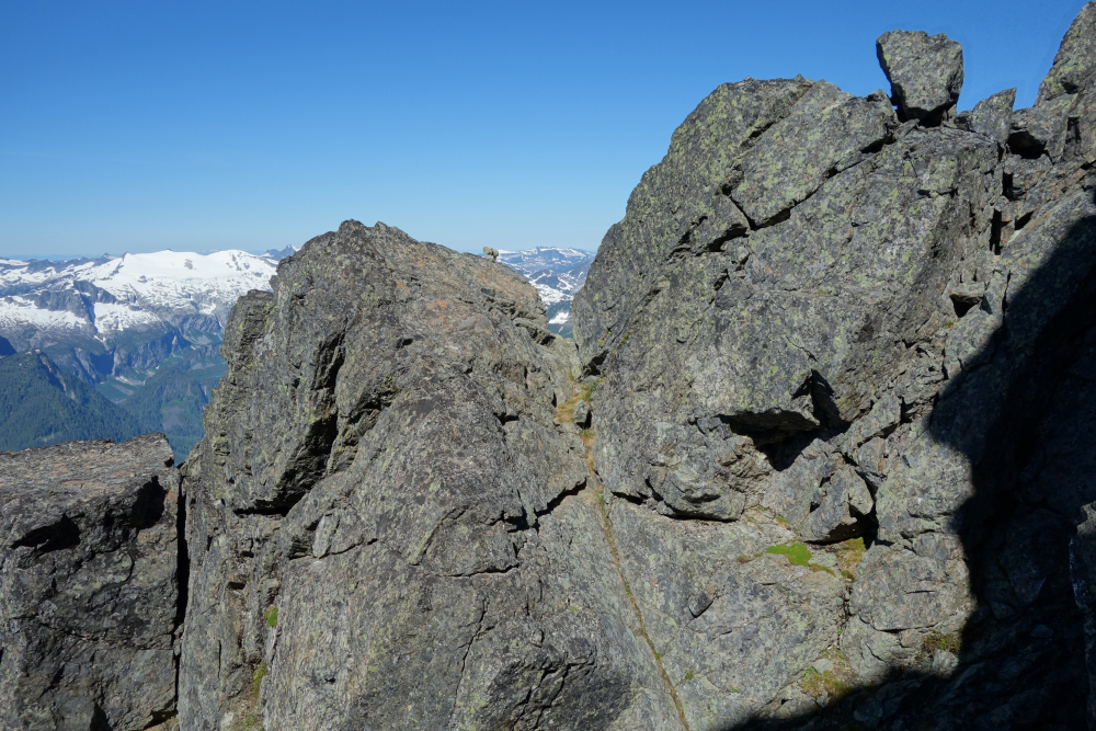
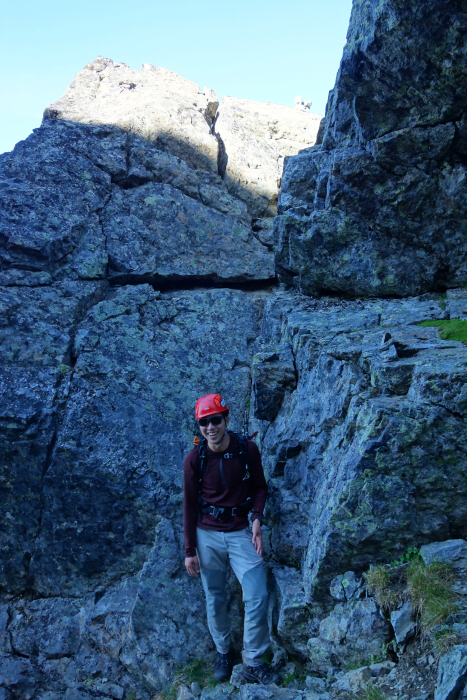
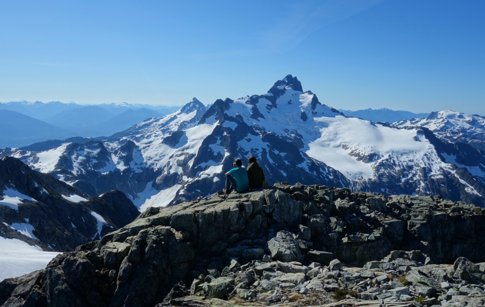
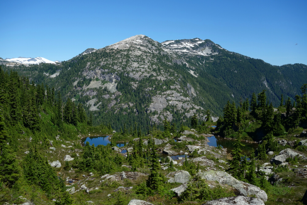
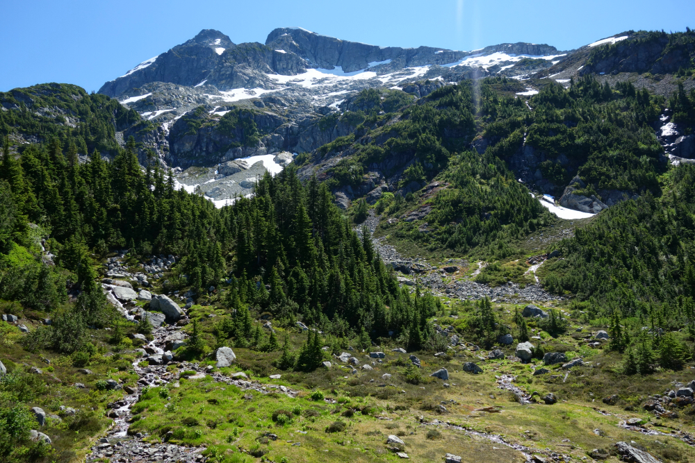
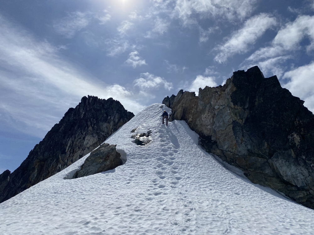
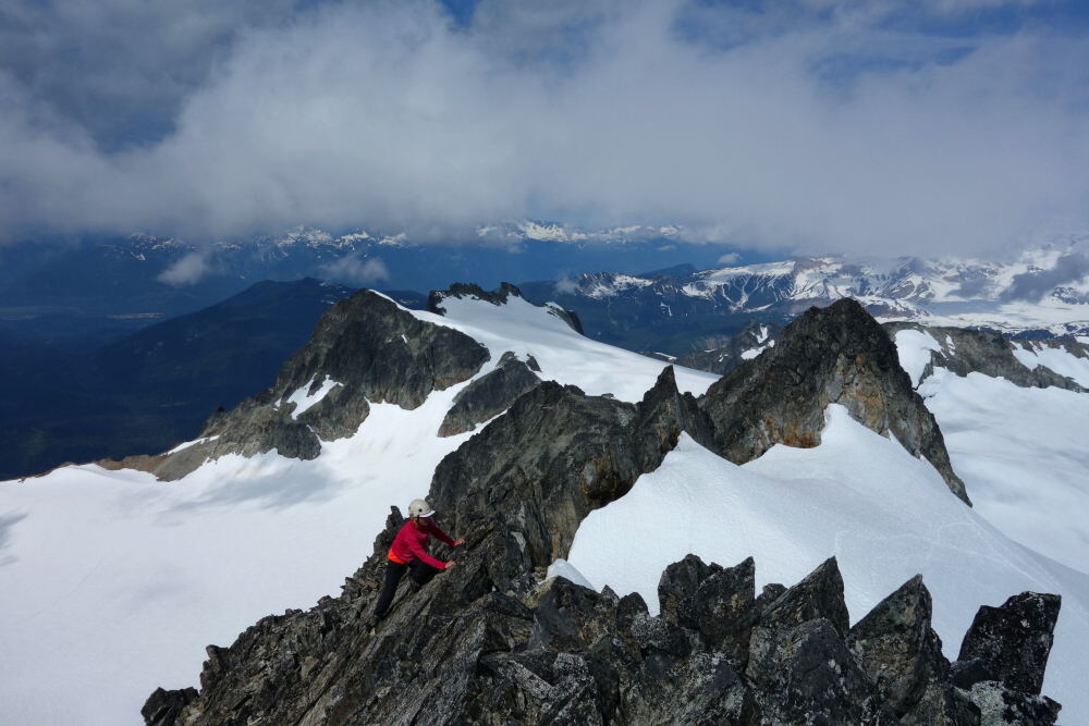
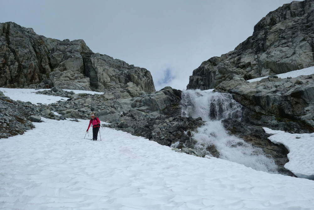
A fine 1.5-day trip at the northern end of the Tantalus Range with Bryant whom I met a couple weeks earlier up on Williams Peak. Sweating like never before on the ~4 hr approach to the Moraine camp thanks to the midsummer heat and Bryant's crushing pace. Bridge over Sigurd Creek is gone or has been washed out but it's a trivial ford either way. Downdraft from glacier above moraine basin camp area made for a pleasantly mosquito free evening, although to be honest they weren't otherwise all that bad. Too hot perhaps? Got moving shortly after sunup the next morning and continued past the lakes camp higher up (moraine better IMO) before gaining the lower NW/W Ridge. Cruise from there to crux notch/gully. Exposure relatively moderate here as well as the final bit to regain the ridge, reaching the summit shortly thereafter.
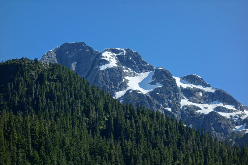
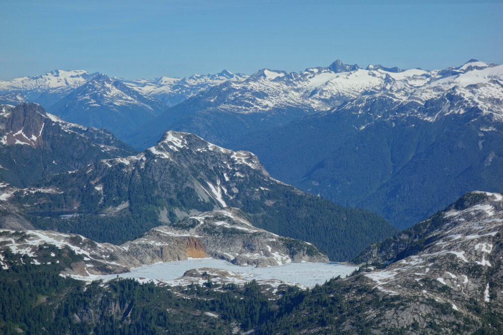
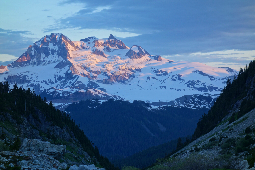
Views were outstanding of course, especially of the mighty Tantalus! Me thinks it's getting to be time to put that one in the bag once and for all. But anyway. No snow on ridge itself but helpful on north side for a fast return thanks to glissading and boot skiing. Encountered one party of 4 descending from the tower just below the crux as were heading up, a twosome already on the summit as we topped-out and countless other parties on the way up as we were descending back to camp. Ossa has clearly become a popular objective! Its slightly higher neighbor Pelion Mountain, however, sees far fewer ascents but seems a worthy objective as well. Might have to give that one a go the next time I find myself kicking dirt up the Sigurd Creek Trail. Overall, it took us about 3 hrs camp to summit and about 11 hrs total camp-summit-car. Neat little scramble, attractive scenery, decent approach, and a relatively short drive from home. I give Ossa 2 thumbs up!
Mamquam Mountain - North Route via Darling Lake, July 2020
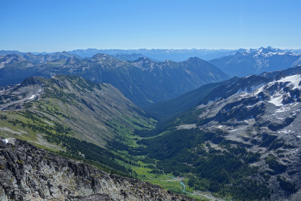
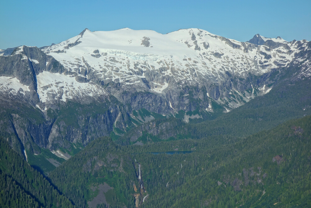
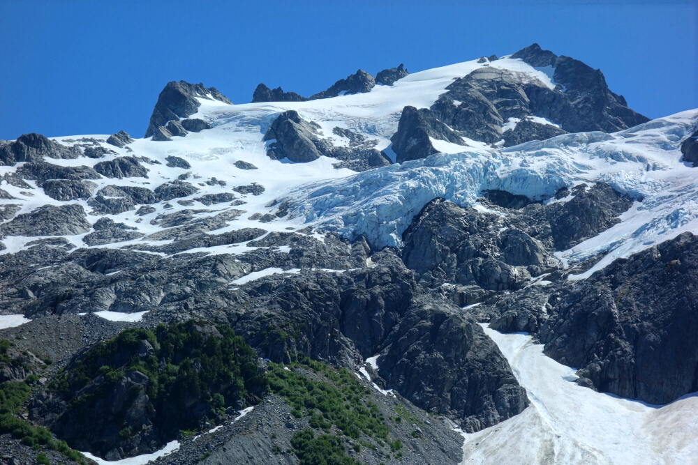
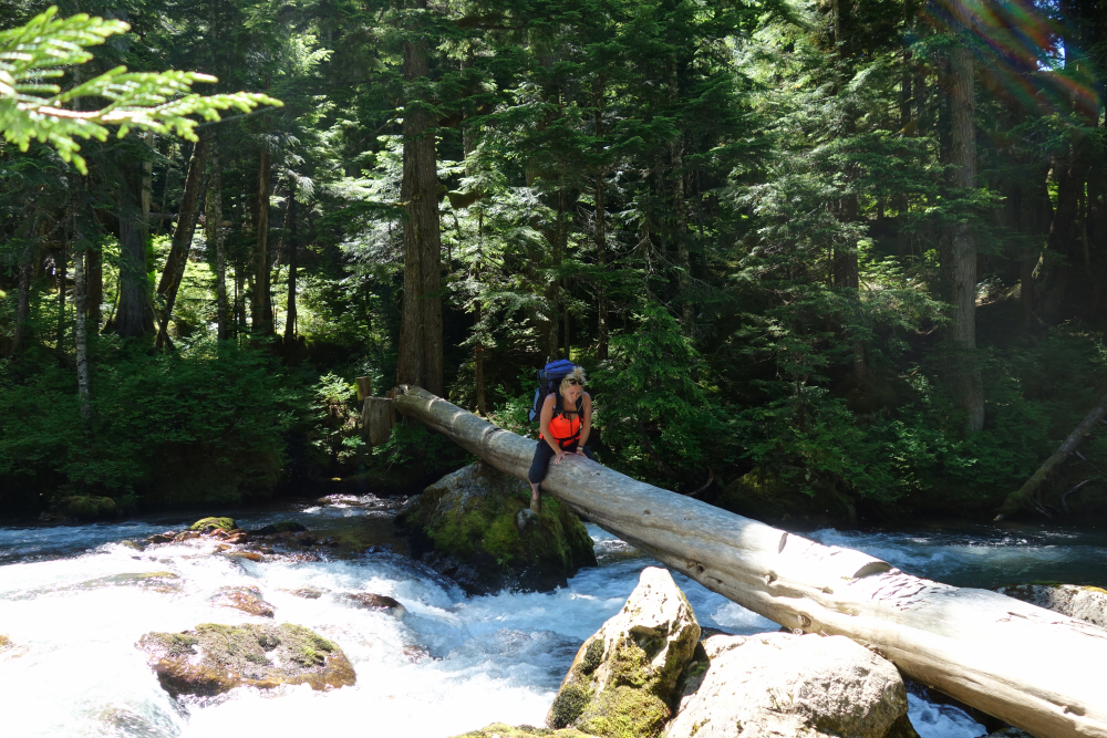
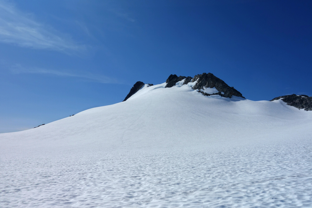
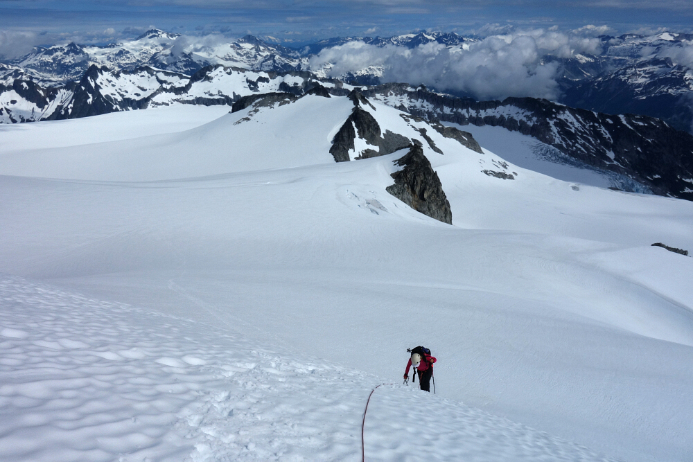
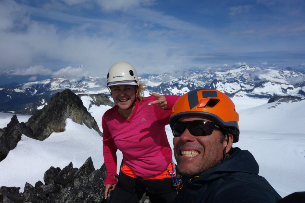
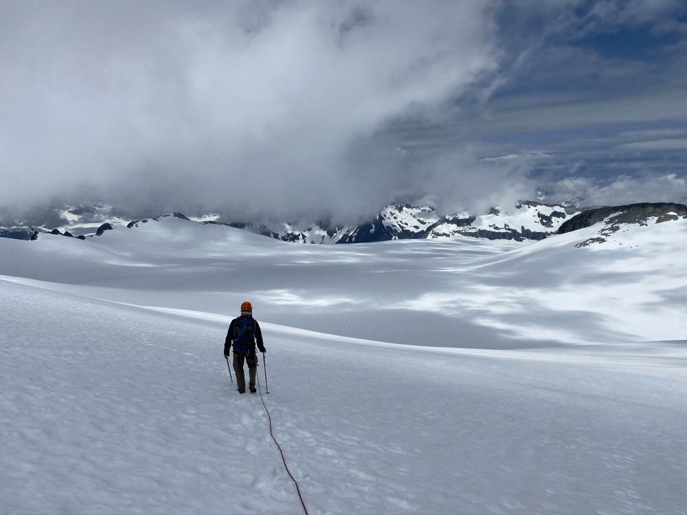
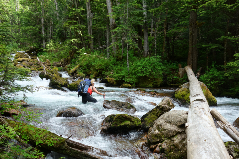
Long time coming for this one, a rite of passage for South Coast peak baggers complete with the infamous au cheval over the log spanning Paranoid Creek, a brutally steep trail, and finally an otherworldly trek across the expanse of the Mamquam Icefield. Been on my radar for years but was put off thanks to news of a critical bridge over Paranoid Creek having been decommissioned back in 2015 or thereabouts. Didn't give it any further consideration up till now, figuring it wasn't worth the hassle. In the end it was just a simple footbridge over a fallen log and certainly not the impediment I imagined it to be. The log remains, though the cable handline was apparently removed by the authorities to limit access to an area frequented by mountain goats. A single mountain goat we did see up in the alpine that weekend, but I don't see how the removal was warranted. The "authorities" ought to visit Olympic National Park sometime if they're that hung up on some goats. Curiously, there's a cable or two suspended across the creek a few yards upstream of the old "bridge", but no log. Not sure what's going on here. Either way, just do a butt scoot over the log or failing that simply ford the creek as Agata did on return all "no shits given" style.
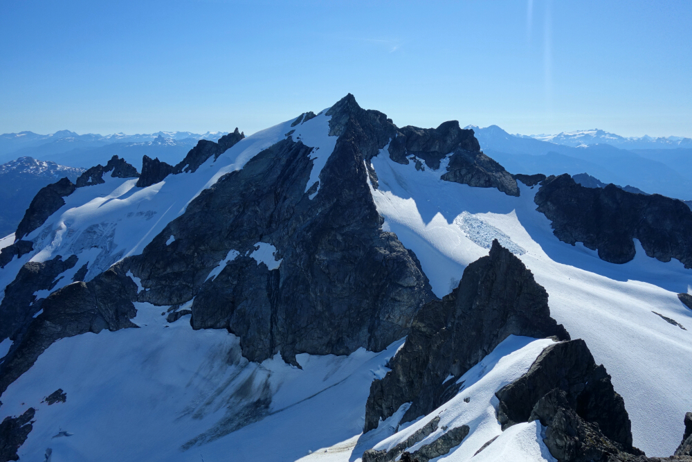
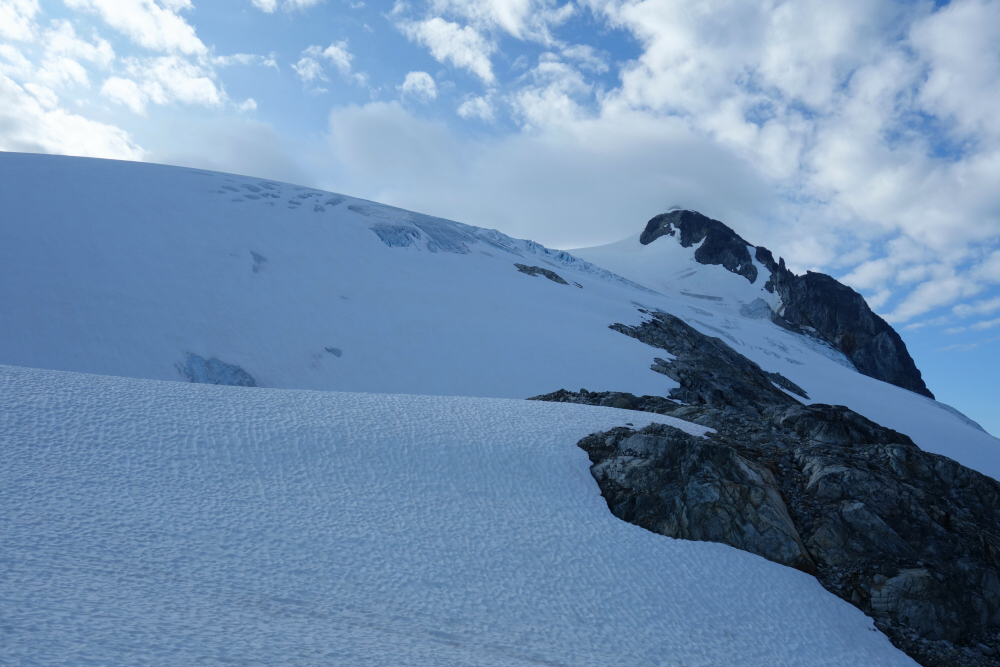
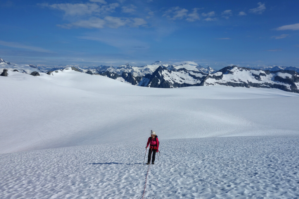
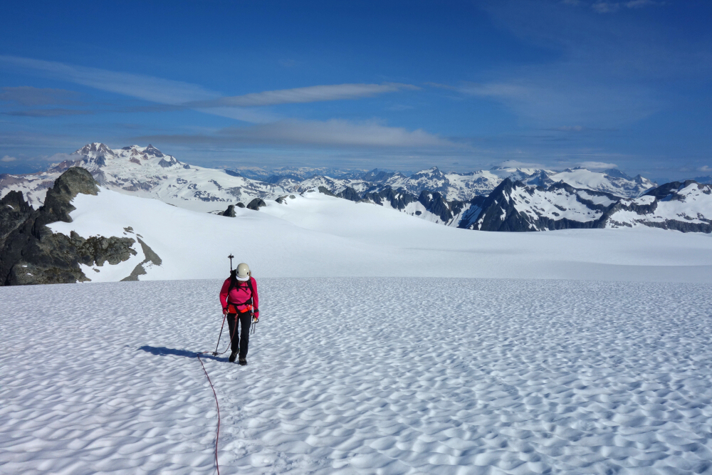
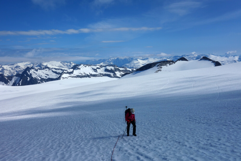
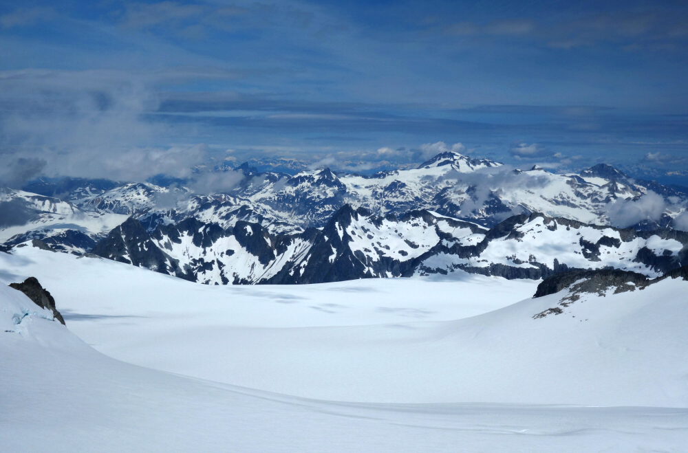
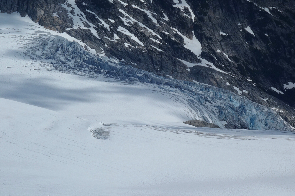
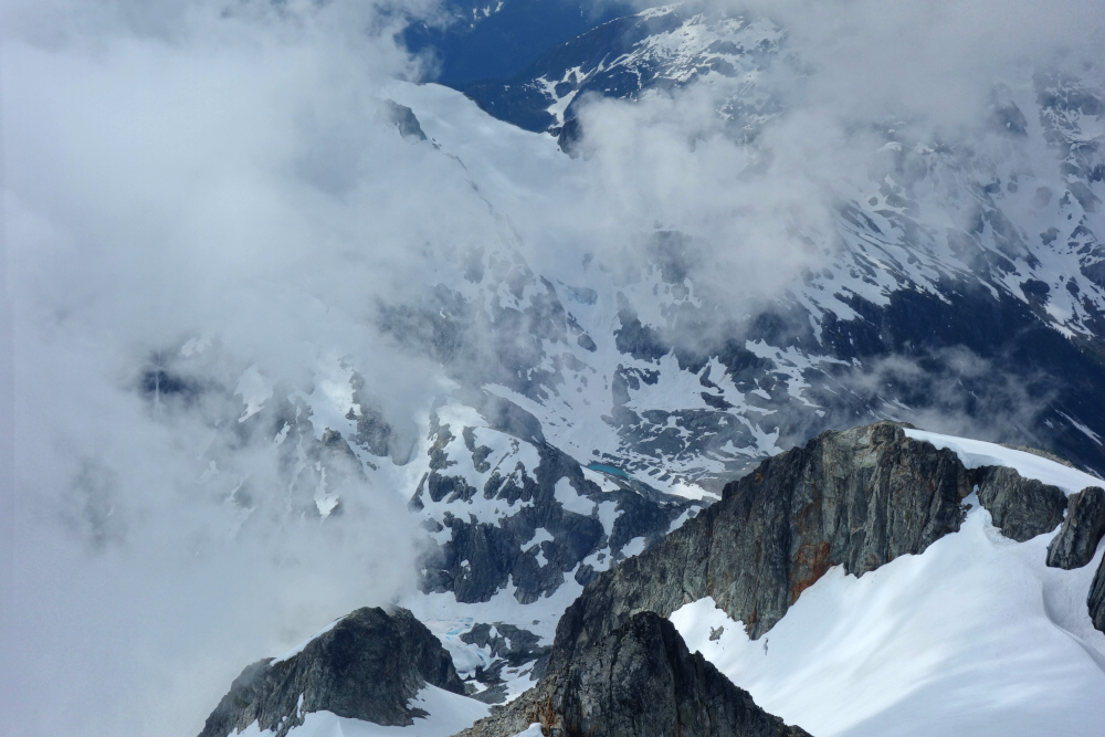
We unfortunately did give more of a shit than hoped for on the hike up to camp at Darling Lake on what was so far the hottest, most humid day of the year, taking us a seemingly endless 5.5 hrs of sweating, mosquito swatting and cursing. Up and at 'em first thing next morning making good time to the edge of the northern icefield (aka Winter Route). Excellent travel to base of final headwall with cracks just beginning to show and some minor sagging over the larger crevasses. The bergshrund was easily passed on left up existing buckets then a final short scramble on notoriously loose rock to the summit proper. Enjoyed the awesome views both near and far despite the constant threat of being engulfed by whiteout on the summit not to mention the journey back across the icefield. Back to camp without incident thankfully and down to truck for an 11-hr summit day, 3 hrs camp to car thanks to a well flagged trail back to the log crossing. Big thanks to those that provided the route beta and GPX track, as well as the BCMC for flagging the route to the alpine!
It would be very much appreciated if you please ask before copying and/or re-publishing content from any part of these pages. To do so, please click here to send a message via feedback form.


