


Whitecap & McGillivray - via McGillivray Pass, July 2023

Wes and I teamed-up for a chill 3-day trip to Whitecap Mountain. At over 9500 feet, the peak ranks as the third highest in SWBC - a loosely-defined region that includes the Greater Vancouver area, the Fraser Valley and Sunshine Coast, and north to include areas around Whistler, Pemberton and Lillooet. Whitecap also happens to be an "ultra" with over 5000 ft of prominence, a fact not lost on local peakbaggers as the mountain is visible from great distances and stands well above everything else in its immediate vicinity. Its name most likely stems from the prominent snow patch that's visible on the summit plateau well into the summer months - a feature which thanks to the peak's stature helps make it a darn hard mountain to ignore!
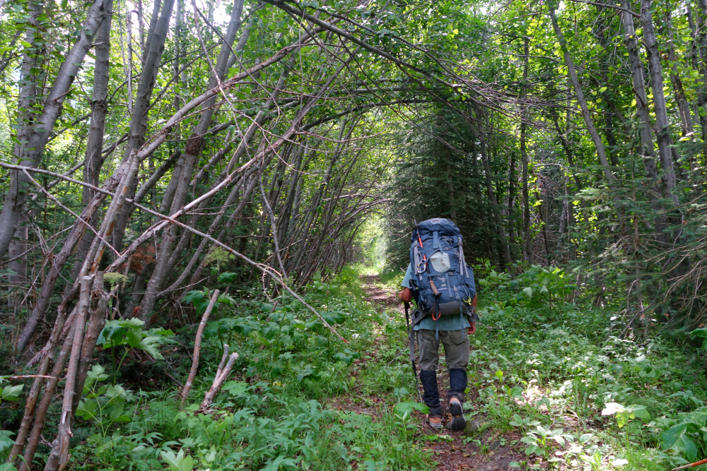
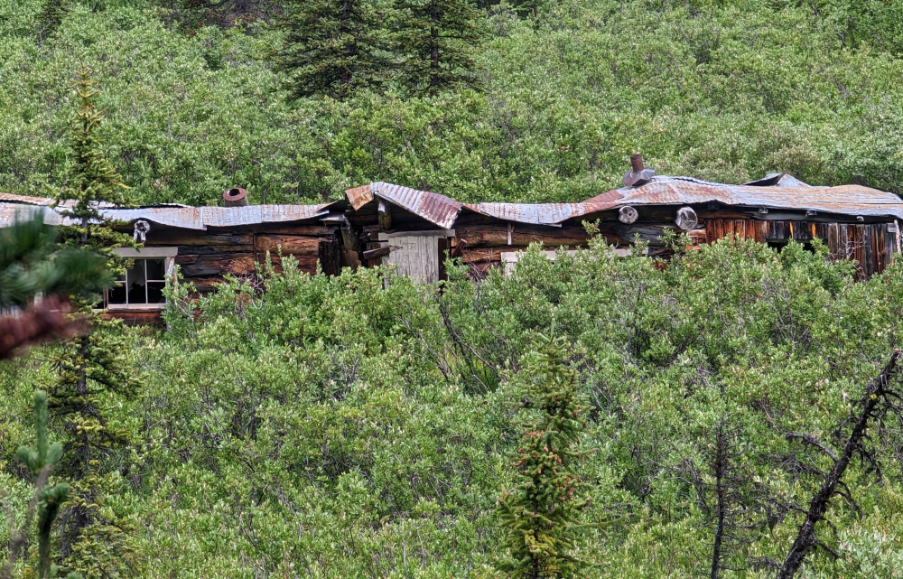
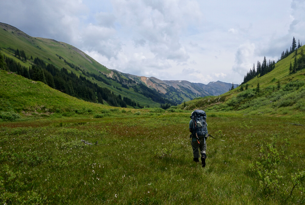
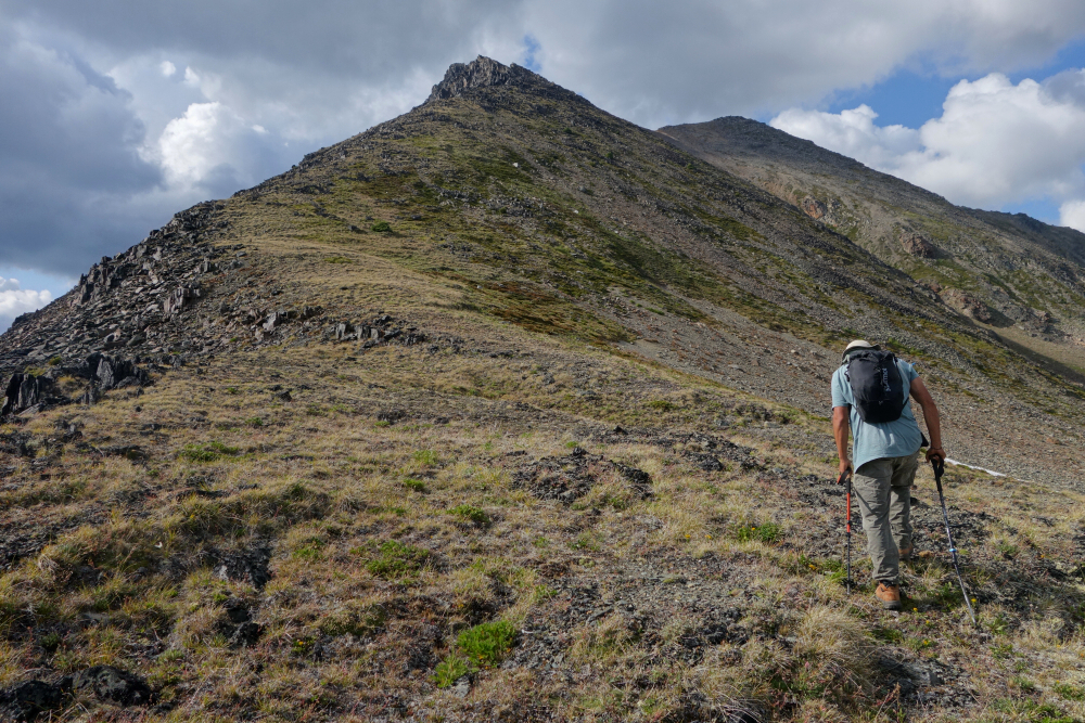
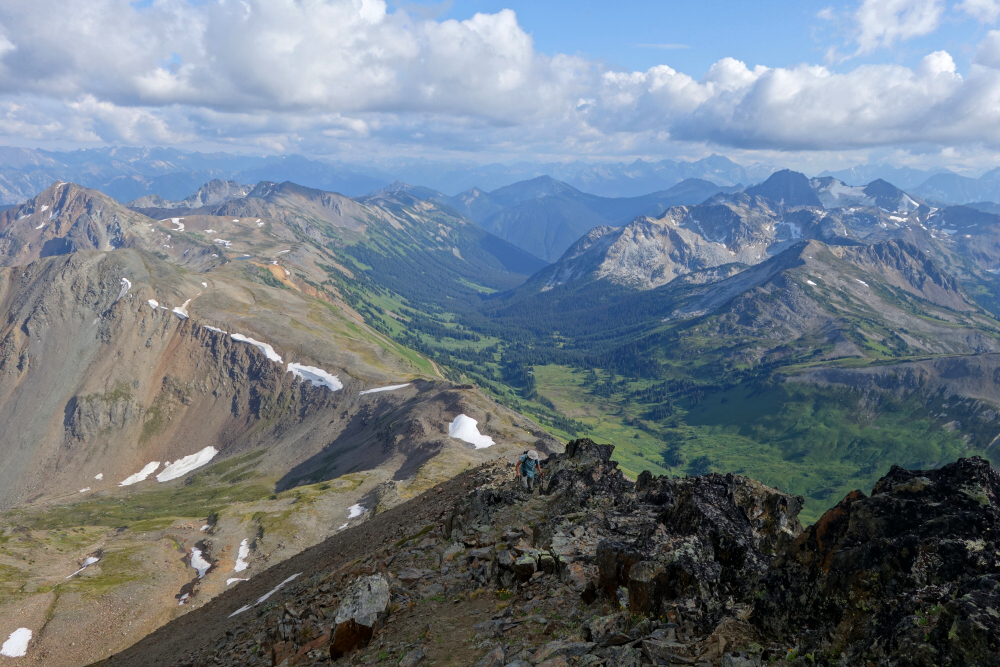
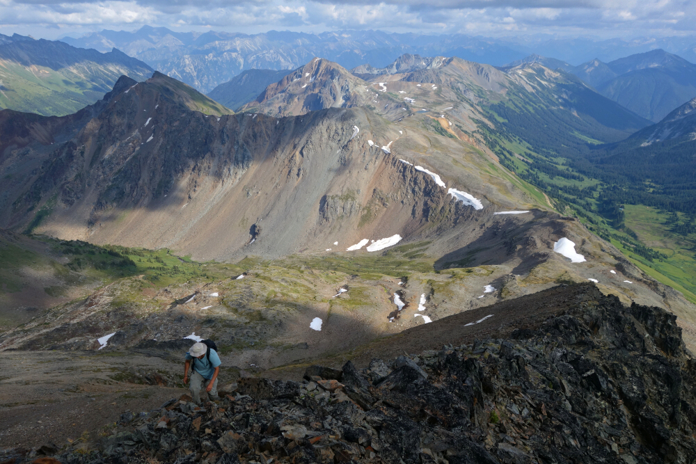
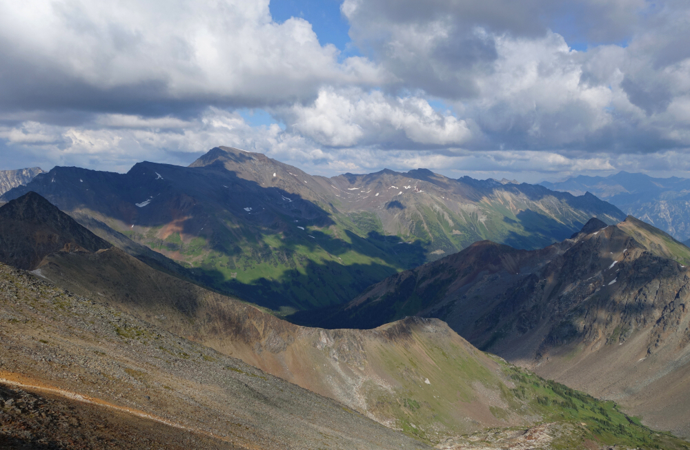
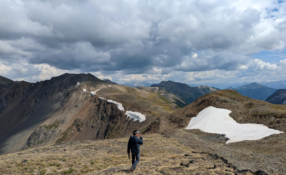
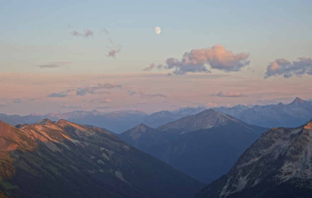
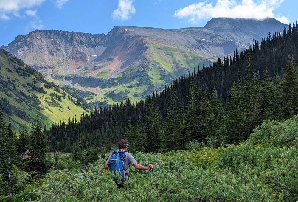
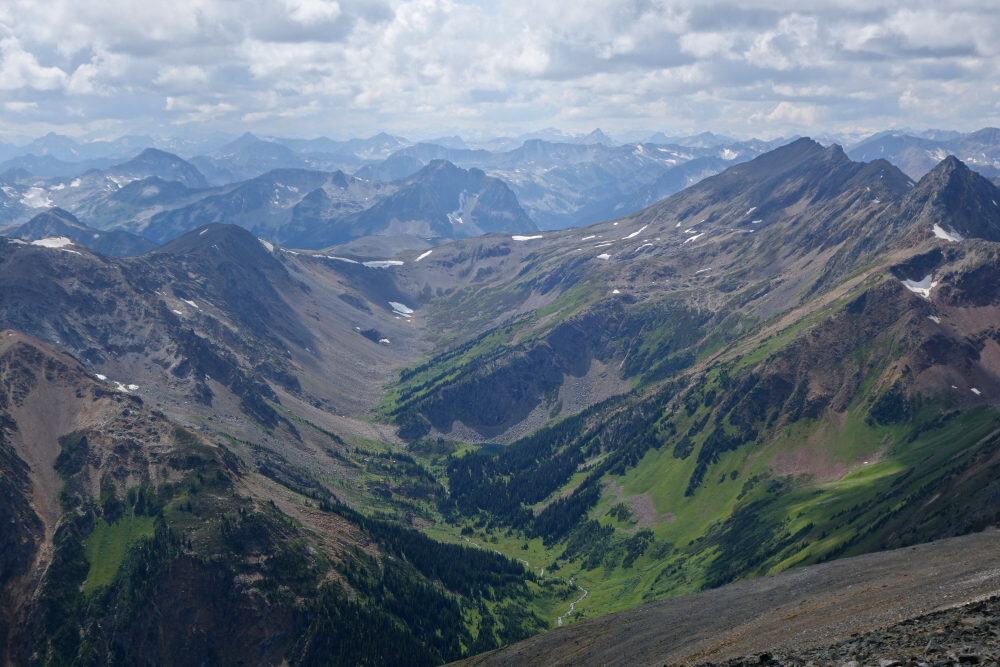
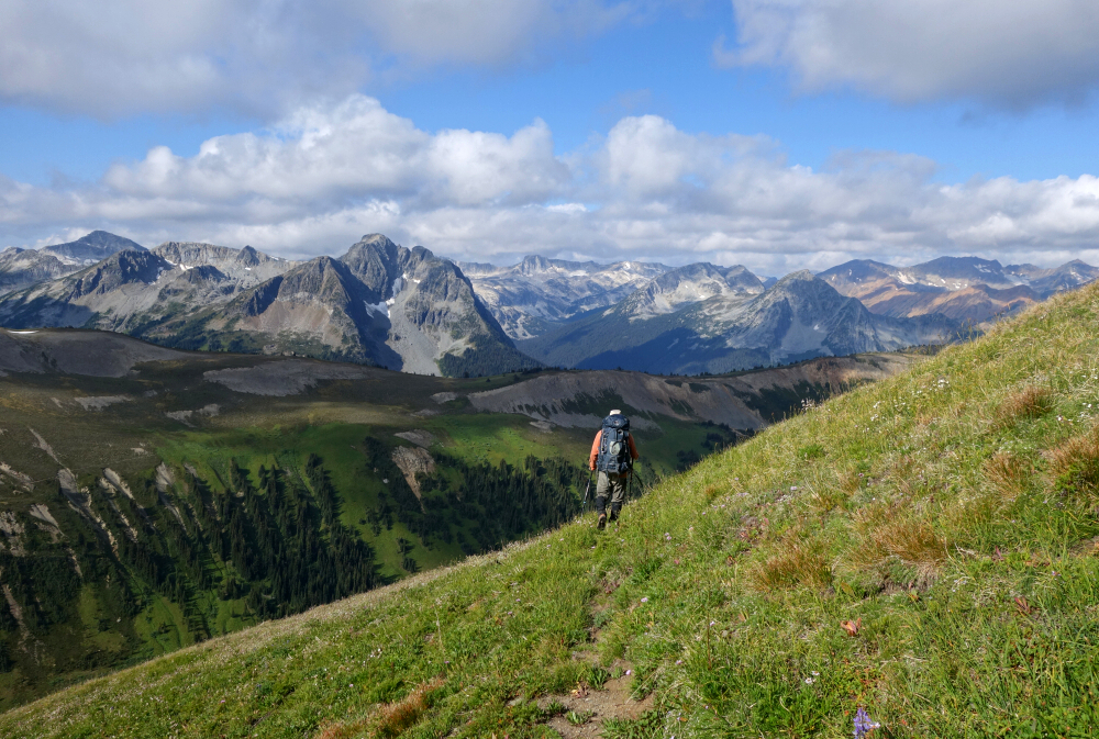
The standard South Route which we took is approached via the Hurley FSR, then heads east past Bralorne and follows Kingdom Lakes FSR for several kilometers before stopping at a spur shortly past Piebiter Creek. We parked here adjacent to the main road and proceeded on foot up along the spur, following it into the Standard Creek Valley. The old road quickly becomes a trail as it continues into the valley past several derelict mining cabins. At times hard to follow, the trail proceeds through some unpleasant bogs and pleasant meadow country to eventually reach McGillivray Pass. Took a short break here, filling up Wes' reservoir with filtered water from a small pond nearby before resuming the hike up the vegetated slope north of the pass. Endured a steep, somewhat slippery grind up this to eventually reach a prominent saddle in the ridge, whereupon we set up camp. Down the valley past McGillivray Pass we could make out a large lodge and some other structures associated with the Whitecap Alpine Lodge that operates as a ski touring and hiking basecamp in winter and summer respectively. No lights after sundown or any hint of activity suggested they weren't operating at that time. With some daylight left to spare, Wes and I headed up nearby Mount McGillivray via the obvious SE Ridge for a bonus summit with outstanding late afternoon views of the surrounding area. Back to camp with the usual freeze-dried fare for dinner, washed down with sips of tequila as we watched the alpenglow give way to a breezy, moonless night.
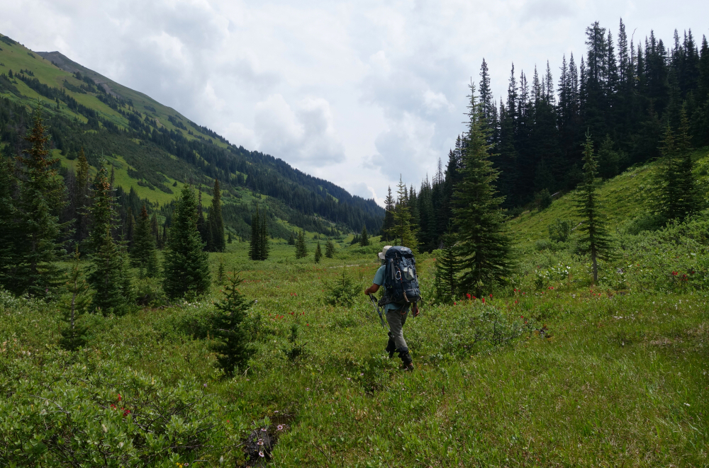
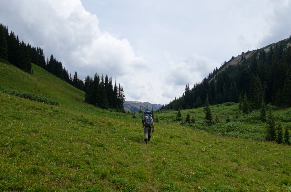
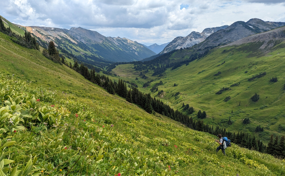
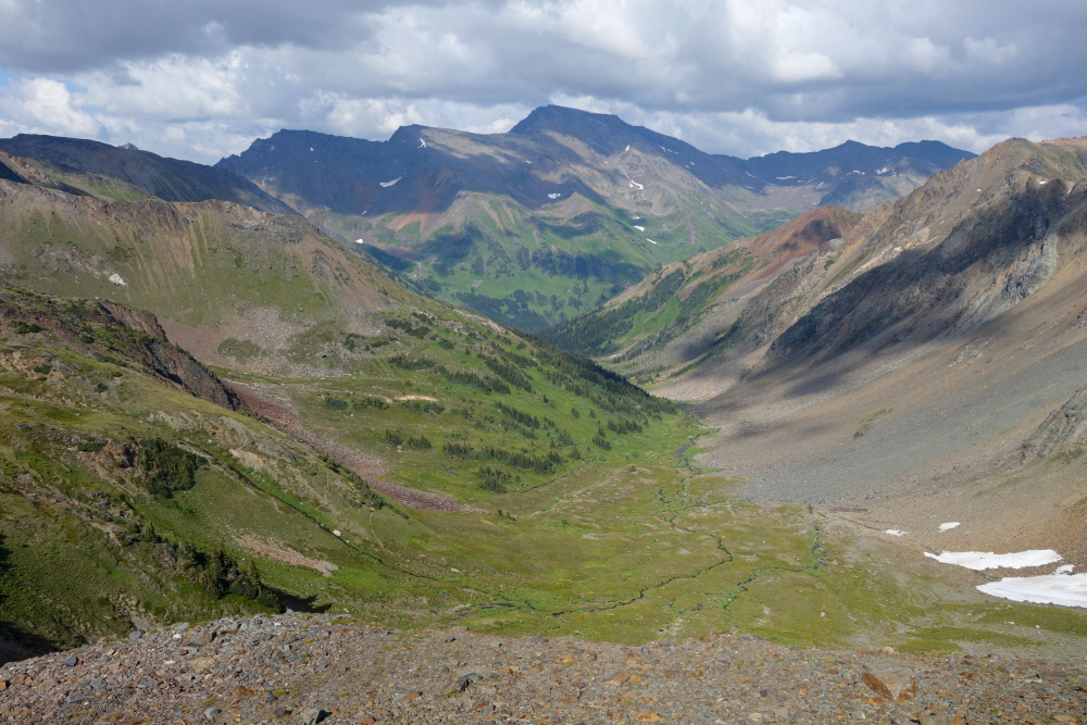
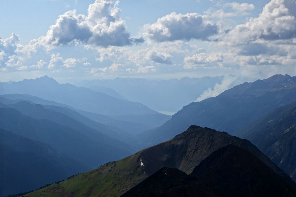
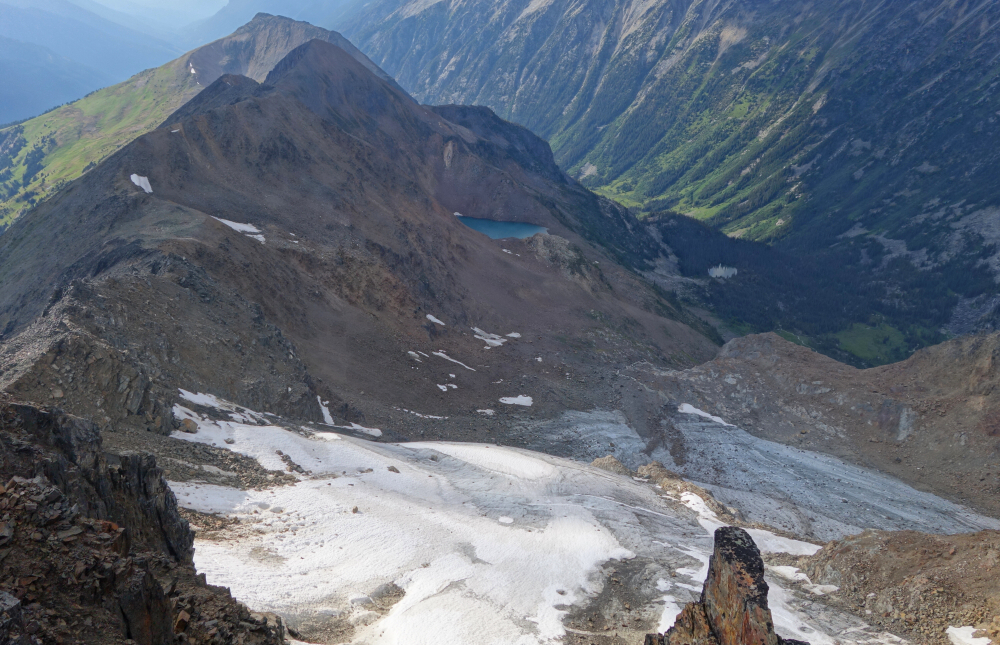
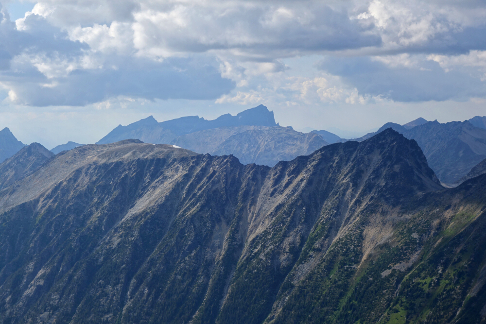
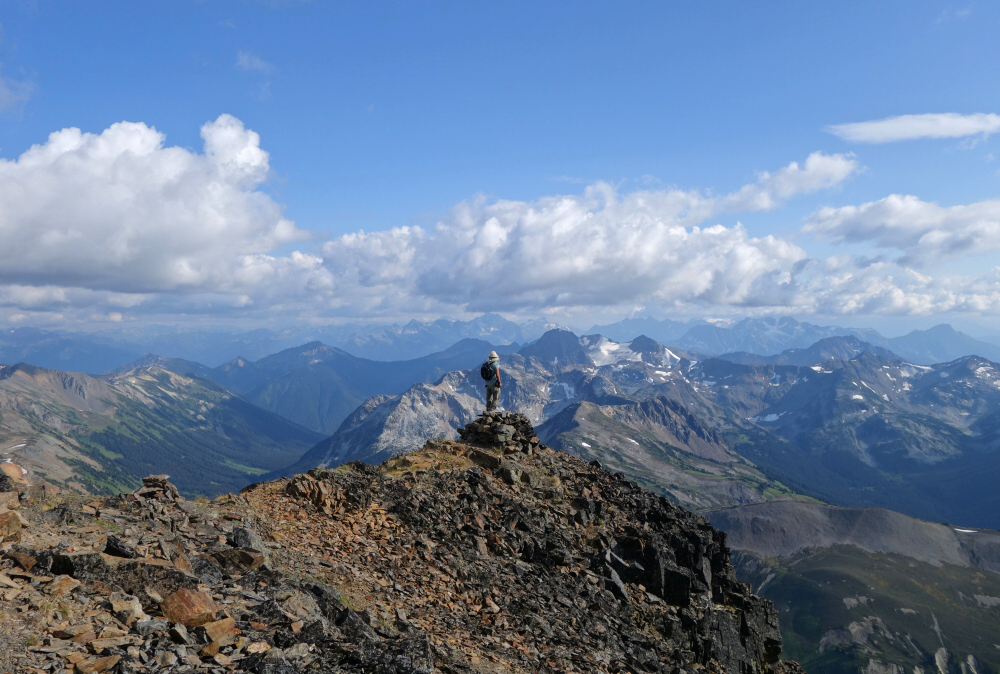
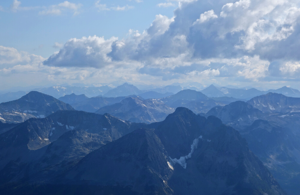
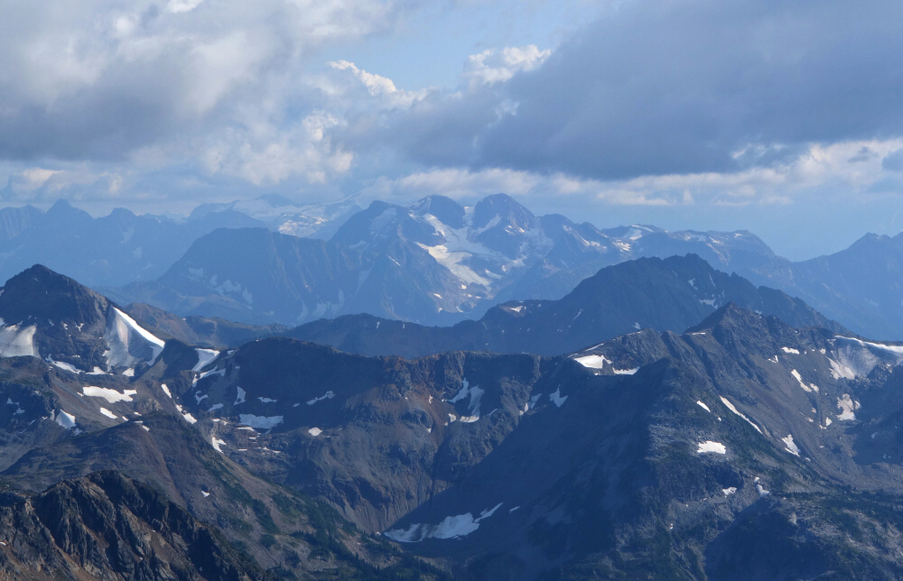
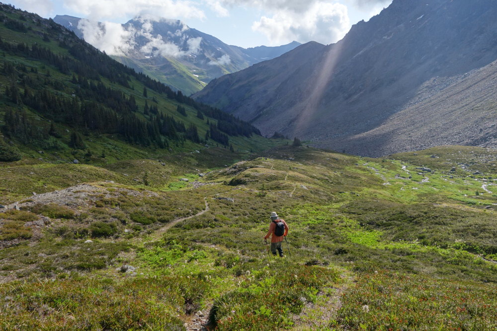
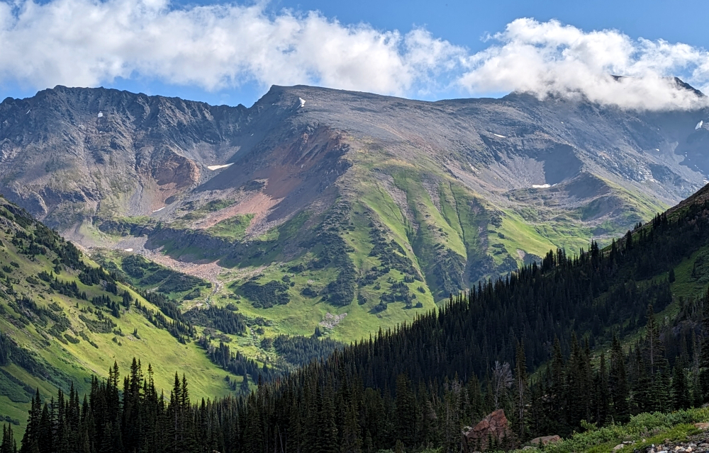
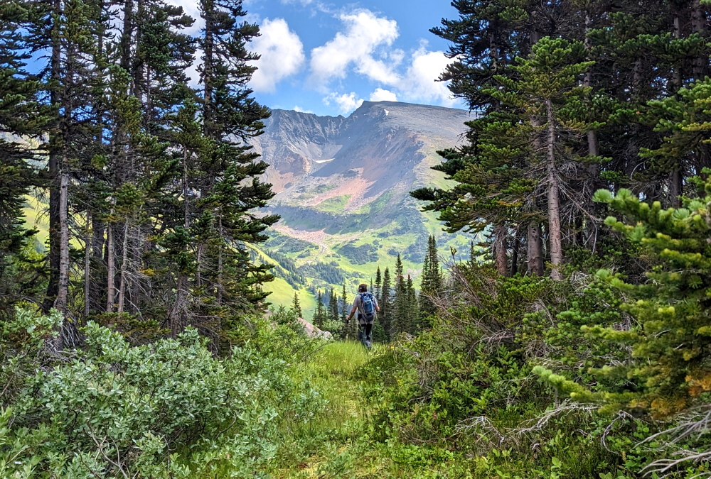
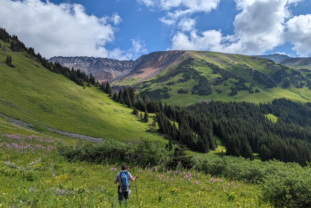
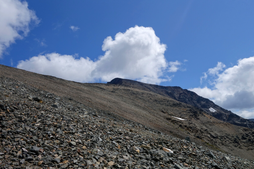
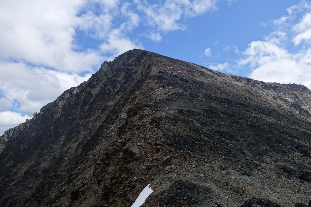
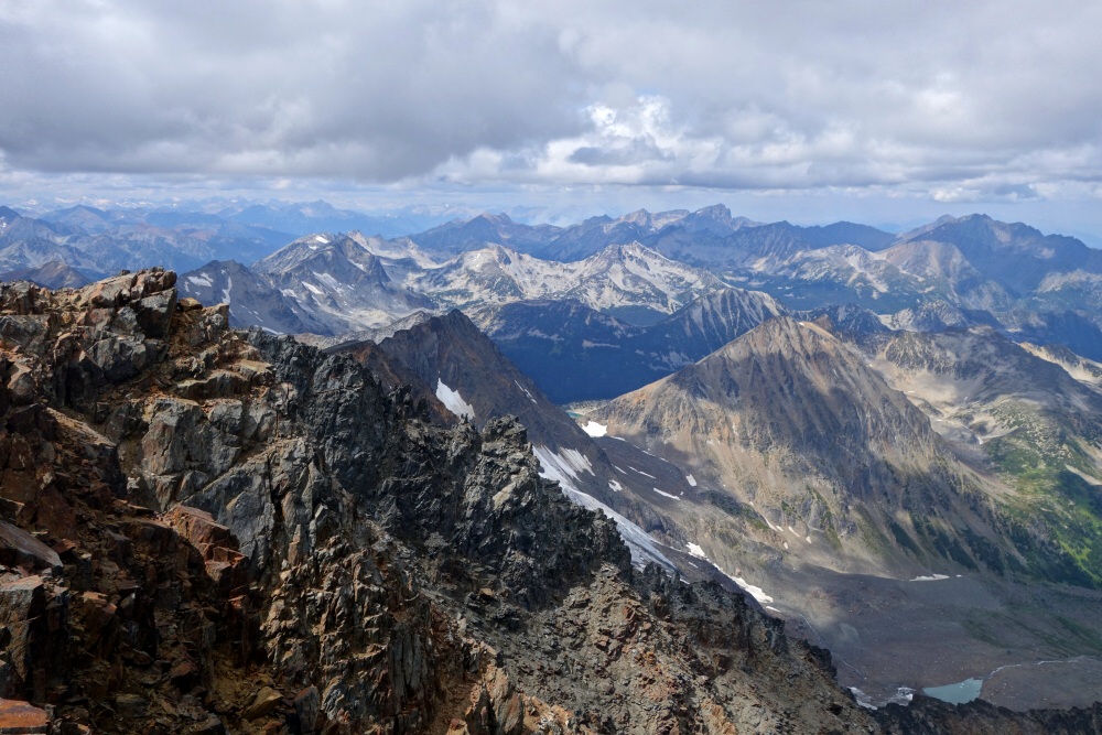
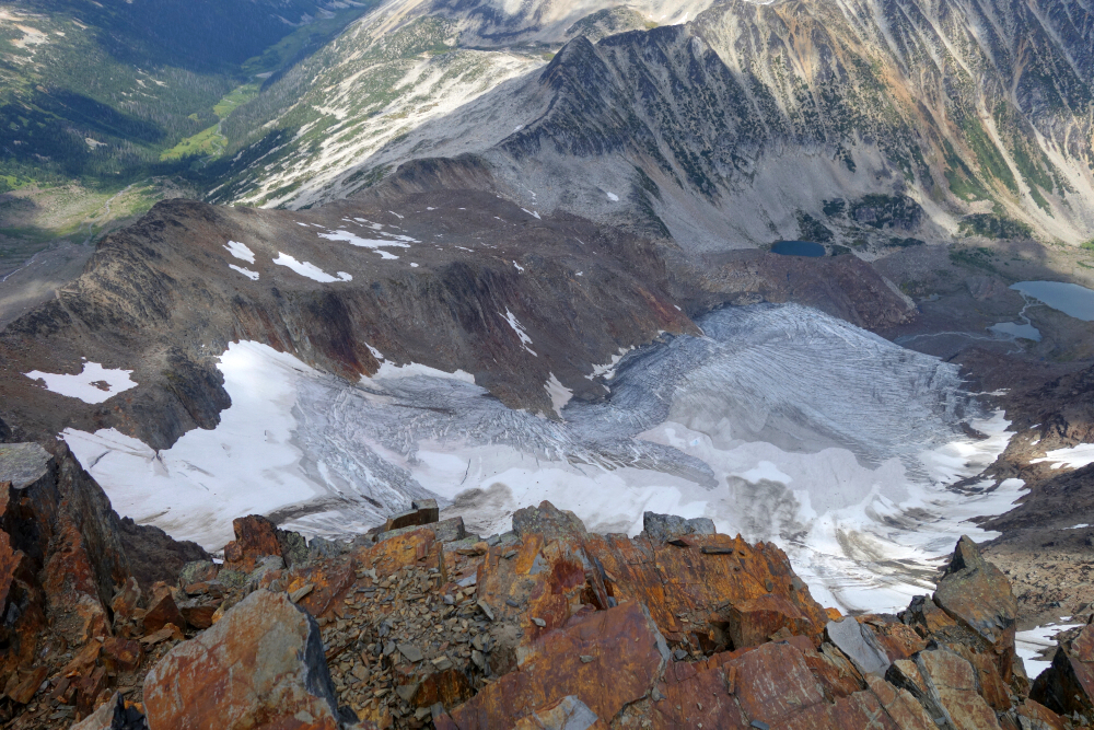
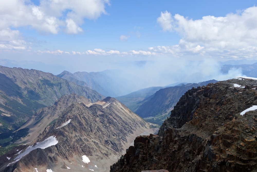
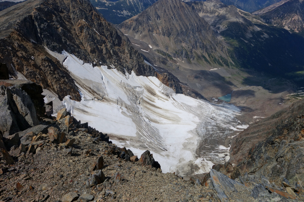
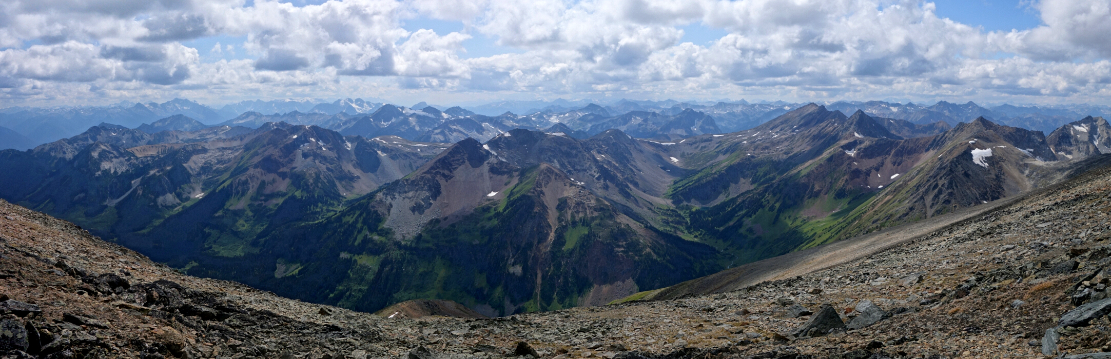
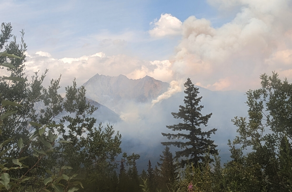
Up and at 'em shortly after first light, continuing now via a good trail that descends from near where we were camped into upper Connel Creek Valley. With Whitecap Mountain clearly visible before us for the entirety of the approach now, we proceeded on a long and at times bushy slog to the foot of the peak's broad SW flank. The trail passes by a couple abandoned huts/shelters (discovered only on our return to camp) before vanishing in a sea of high grass. We split up at the base of a final steep grass slope, with Wes tackling it head-on while I traversed over to the left to find a series of ledges and ramps that I followed to gain the lower SW shoulder. After regrouping, we proceeded up and eventually across a vast talus slope aiming for the summit block still seemingly a long way away. Somewhat steeper for the finish, the scrambling here never exceeds class 2, and after what seemed like an eternity finally reached the large summit plateau with the true summit still frustratingly farther away than expected. Cold and windy up there waiting for Wes, savoring the views into the Tolkien Group to the south, NW towards the Bendor Range and Mount Truax, north towards Shulaps and the peaks around Capenter Lake, and finally east towards Seton and the peaks around Anderson Lake. Fires were also burning around us, one quite close to Whitecap itself and of course the now infamous Gunn Lake Fire just off to the west.
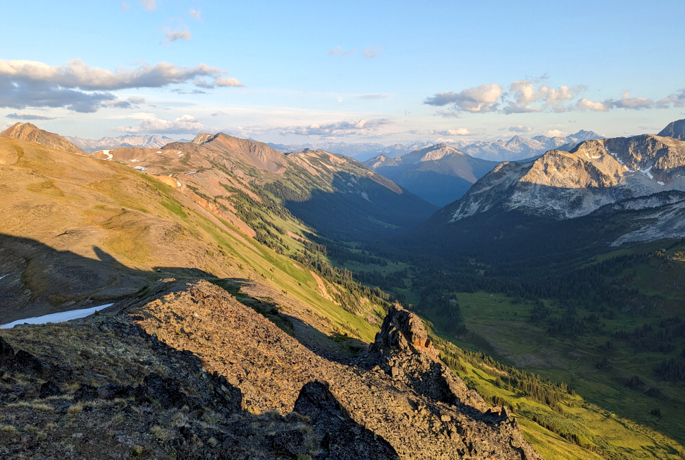
Couldn't wait for Wes any longer thanks to the biting cold and wind and so started back down, stopping somewhere in the talus vastness thankfully now out of the wind. Returned via the ledges and ramps, Wes now taking the same route here as his from earlier entailed too much 'slide-for-life' risk. Then finally the long grind back to camp, briefly stopping to check out the huts along the way. Enjoyed another wonderful sunset that evening, despite the breeze again, polishing off the rest of the tequila before retiring to our respective tents for a well-deserved night's sleep. A somewhat lazy start the next morning, now following a semblance of trail from camp down towards McGillivray Pass, only to lose it once again in yet more steep and slick grass. Microspikes for the win here, reaching the valley floor without incident and returning to the truck a few hours later. Ducked into the Bralorne Pub for a cold brew and a burger on our way back through town before resuming the interminable drive back up n' over the Hurley to Pemberton. Another stop at Beer Farmers because, well with a name like that how could we not?? And then a final pitstop at Backcountry Brewing for some "homework" before dropping Wes off in W. Vancouver. Third highest DONE! Now if only #1 and #2 could be as simple!
Click here to view.
![]()


