Last Updated: February 12, 2025


Start

Recent content updates are viewable under what's new.

Reports in the queue for posting are coming soon!

Upcoming reports & photos:

Oh my! Quite the backlog here...

  • Mount Dickerman (WA) - hike (November 2022)
  • Verona Peak AKA Winter's End - snowshoe (November 2023)
  • Dolomites (IT) - snowboard (December 2023)
  • Red Rock Canyon (NV) - scramble (January 2024)
  • Flute Summit & Oboe Summit - snowboard (February 2024)
  • Whistler Miscellaneous (Train Wreck, Loggers Lake, Shadow Lake and more) - hike (February 2024)
  • Mount Underhill - hike (March 2024)
  • Bombtram Mountain - snowshoe (March 2024)
  • Steep Peak - snowboard (March 2024)
  • Ruby Mountain (WA) - snowshoe (April 2024)
  • Blustry Mountain - hike (April 2024)
  • Sowerby Peak (Barr East) - snowshoe (April 2024)
  • Picacho Peak (AZ) - hike (April 2024)
  • Kitt Peak Observatory (AZ) - (April 2024)
  • Mount Wrightson (AZ) - hike (April 2024)
  • Saguaro National Park (AZ) - April 2024)
  • Superstition Peak/Benchmark (AZ) - scramble (April 2024)
  • Mount Humphreys (AZ) - hike (May 2024)
  • Petrified Forest National Park (AZ) - (May 2024)
  • Piestewa Peak (AZ) - hike (May 2024)
  • Channeled Scablands (WA | Columbia Gorge, Ancient Lakes, Potholes Lake, Palouse Falls and more) - hike (May 2024)
  • Rhododendron Mountain ("Pk. 2220") - snowshoe (June 2024)
  • Flora Peak - hike (June 2024)
  • Gibson Peak - snowshoe (June 2024)
  • Mount Urquhart - scramble (June 2024)
  • Rock Mountain (WA) - hike (July 2024)
  • Ladies Pass Quartet (WA | Cape Horn, Ladies Peak, Snowgrass NE Peak, Snowgrass Mountain) - scramble (July 2024)
  • Old Snowy (WA) - scramble (July 2024)
  • Dog Mountain (WA) - hike (July 2024)
  • Mount Ratney & Mount Bardean - scramble (July 2024)
  • Torrent Peak - scramble (July 2024)
  • Steep Peak - Darkside Peak Traverse - scramble (July 2024)
  • Silvertip Mountain - scramble (July 2024)
  • The Old Settler - scramble (July 2024)
  • Silent Hub Peak - scramble (August 2024)
  • Saint Jacobs Mountain - scramble (August 2024)
  • Mount David (WA) - scramble (August 2024)
  • Goat Mountain West Peak & Table Mountain (WA) - hike (August 2024)
  • Griswold Pass (Tuber Hill, Glacier View Peak, Subatomic Peaks: Baryon, Meson, Muon, Lepton) - scramble (September 2024)
  • Yellow Aster Butte (WA) - hike (September 2024)
  • Mazama Dome (WA) - hike (September 2024)
  • Ptarmigan Ridge - (WA | The Portals East Peak, Coleman Pinnacle) - hike (September 2024)
  • Tetrahedron Peak - scramble (September 2024)
  • Lone Cone & Peak 86 (Tofino) - hike (September 2024)
  • Mount Athelstan ("Pk. 2460") - scramble (September 2024)
  • Excelsior Peak and Cowap Peak (WA) - hike (October 2024)
  • Hollyburn Peak - hike (October 2024)
  • Cheam Peak - hike (October 2024)
  • Blanchard Needle - scramble (October 2024)
  • Debeck's Hill & 4 Lakes Loop - hike (October 2024)
  • Mount Hallowell - hike (November 2024)
  • Anderson Mountain (WA) - hike (December 2024)
  • Sumas Mountain (WA) - hike (December 2024)
  • Gloria (Peak) Lookout - hike (January 2025)

*As of 02/12/2025


Database

Query the reports database, selecting from criteria which include name, location, type, season etc.

Quick Links

Essential links & whatnot:


Jump To

Select from list below to jump to a specific area on this site.


| Latest Posts |


Wednesday, January 22, 2025

Park Butte - via Park Butte Trail, October 2023


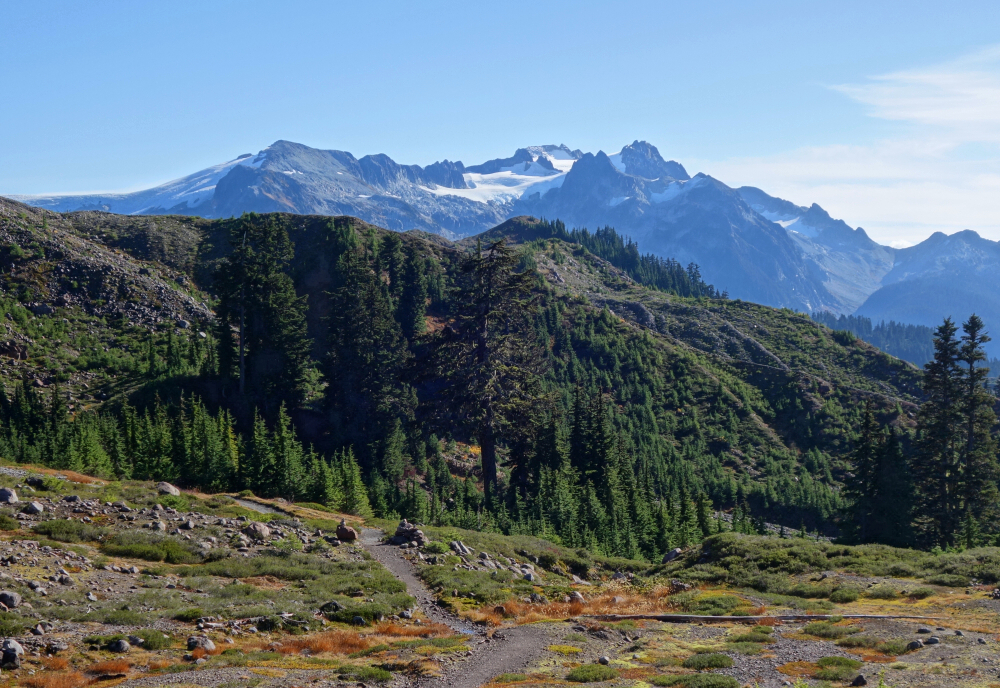
Park Butte is a short but deservedly popular hike on the south side of Mount Baker. It is well-known for the historic fire lookout perched on its summit and the outstanding 360-degree panoramic views from the deck that wraps around it. The approach to the 'butte is by way of the Park Butte Trail, which is the same as that used to reach the Railroad Grade Trail commonly taken for ascents of Baker's Easton Glacier route. I was last in the area over 20 years ago, returning from my first successful ascent of the mighty Koma Kulshan (aka. Mt. Baker)! So much has changed in the natural world and virtually all aspects of life since then, the one notable exception being my enduring passion for adventure in high places!

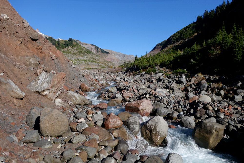
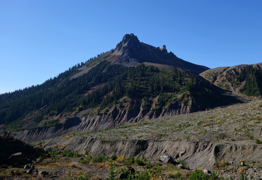
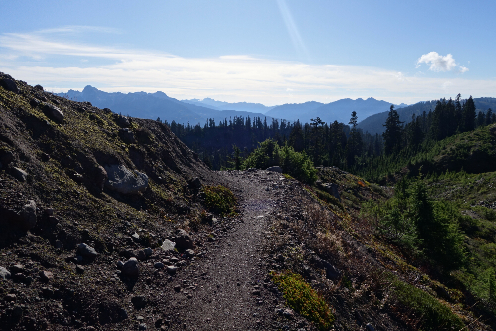
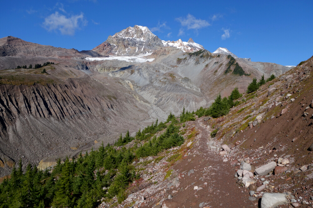
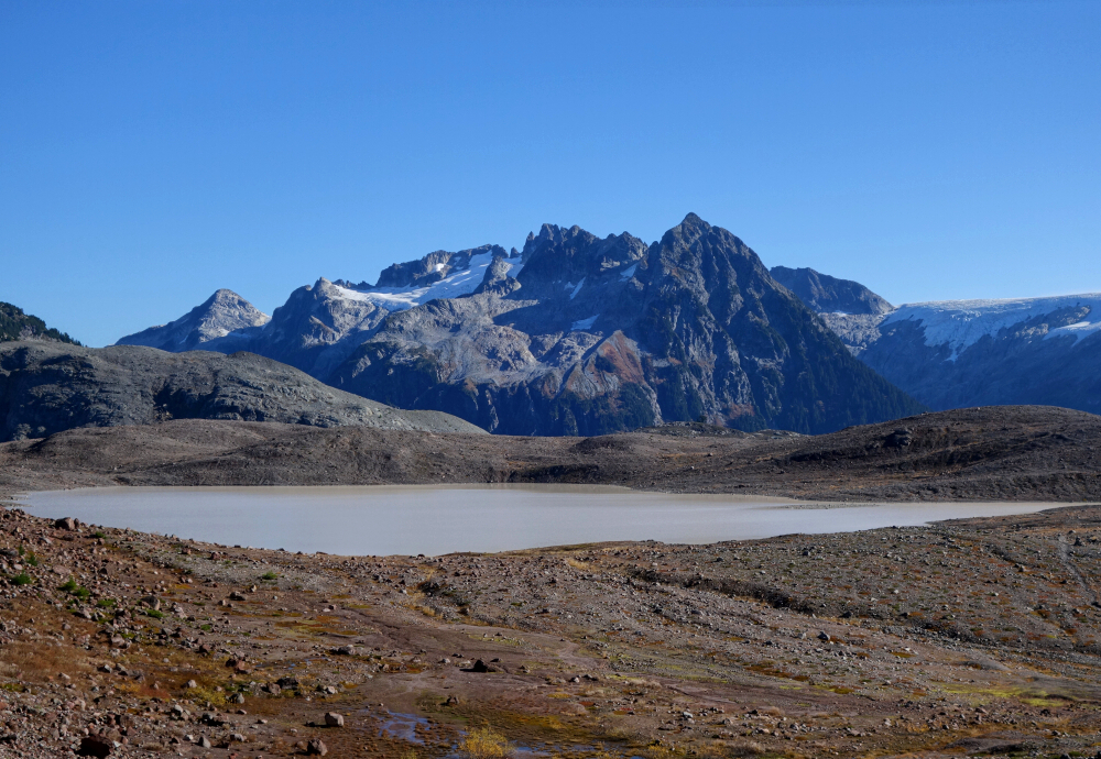
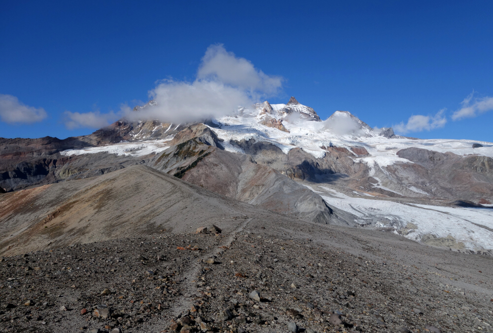
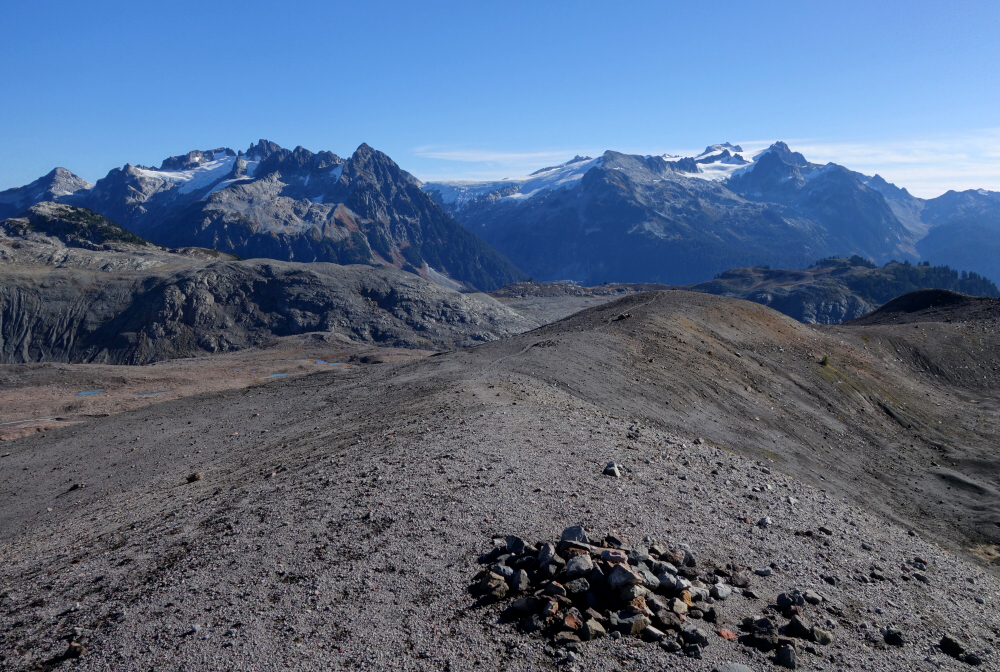
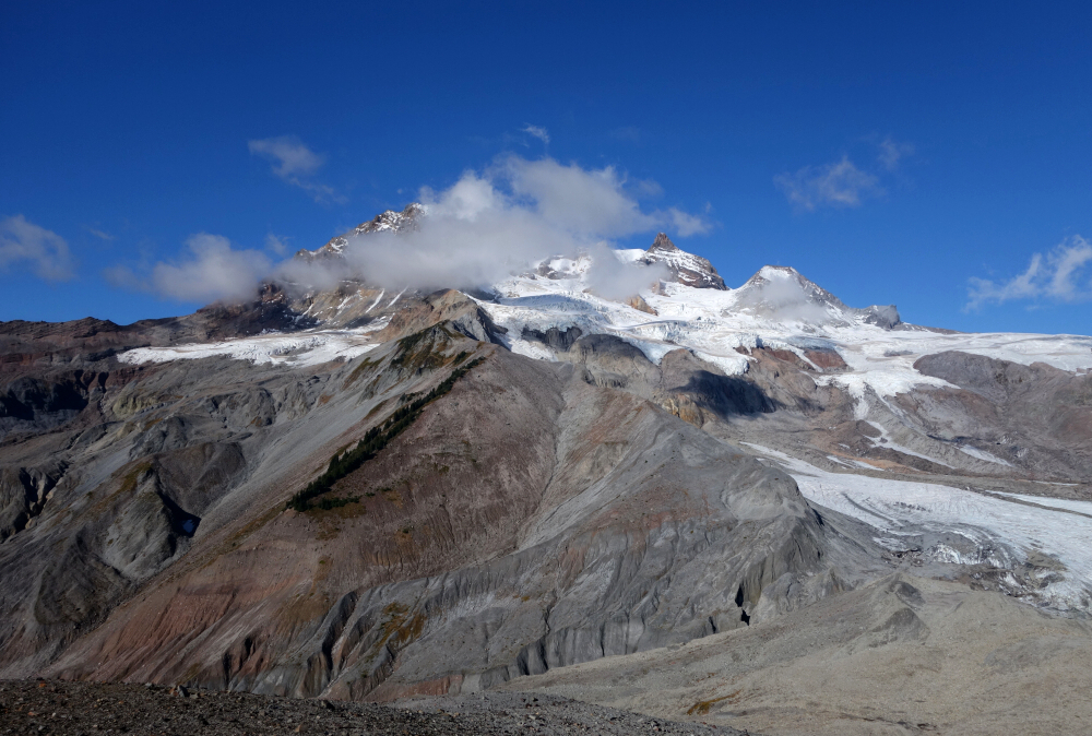
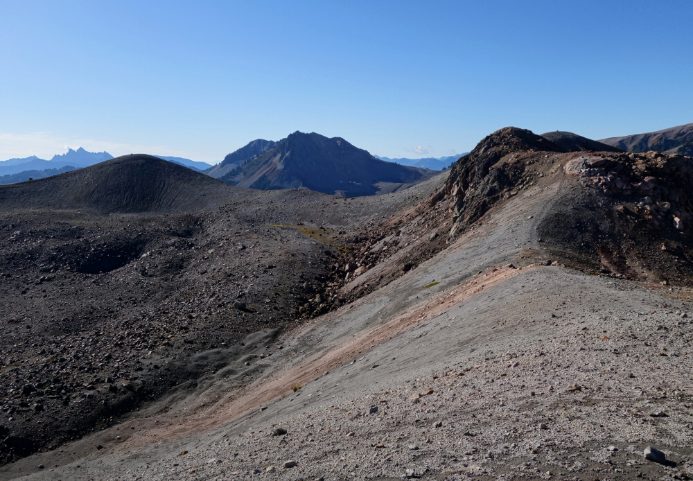
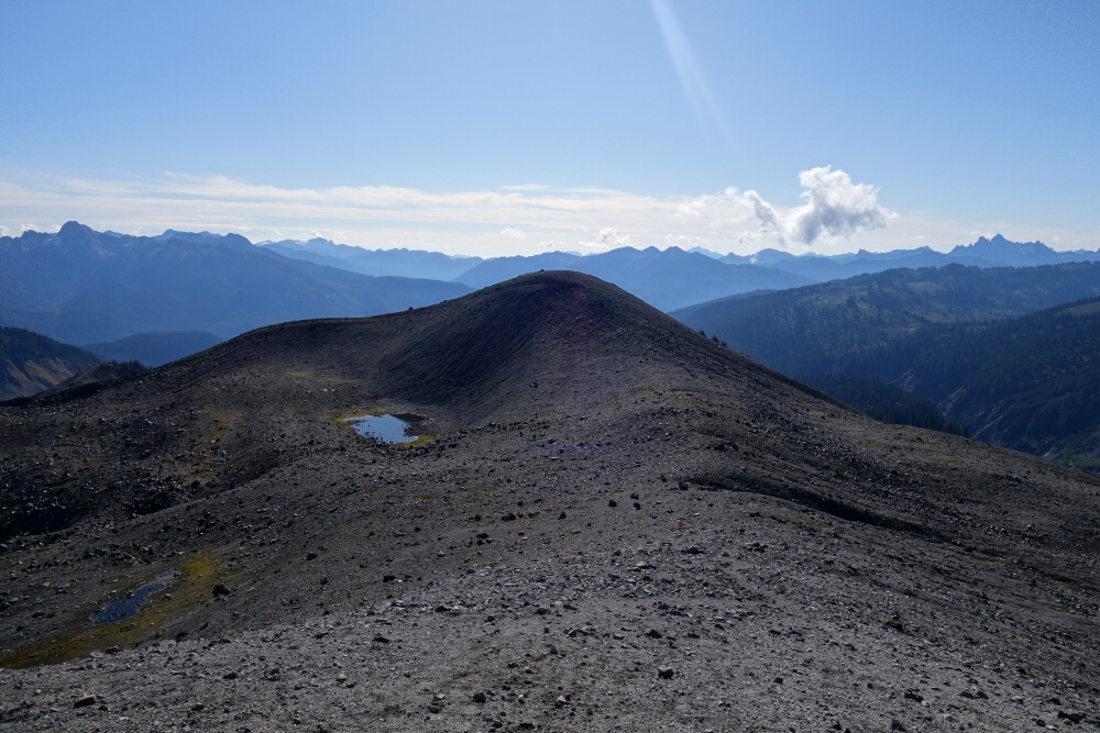
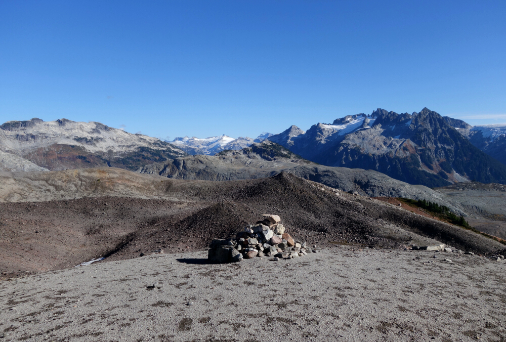
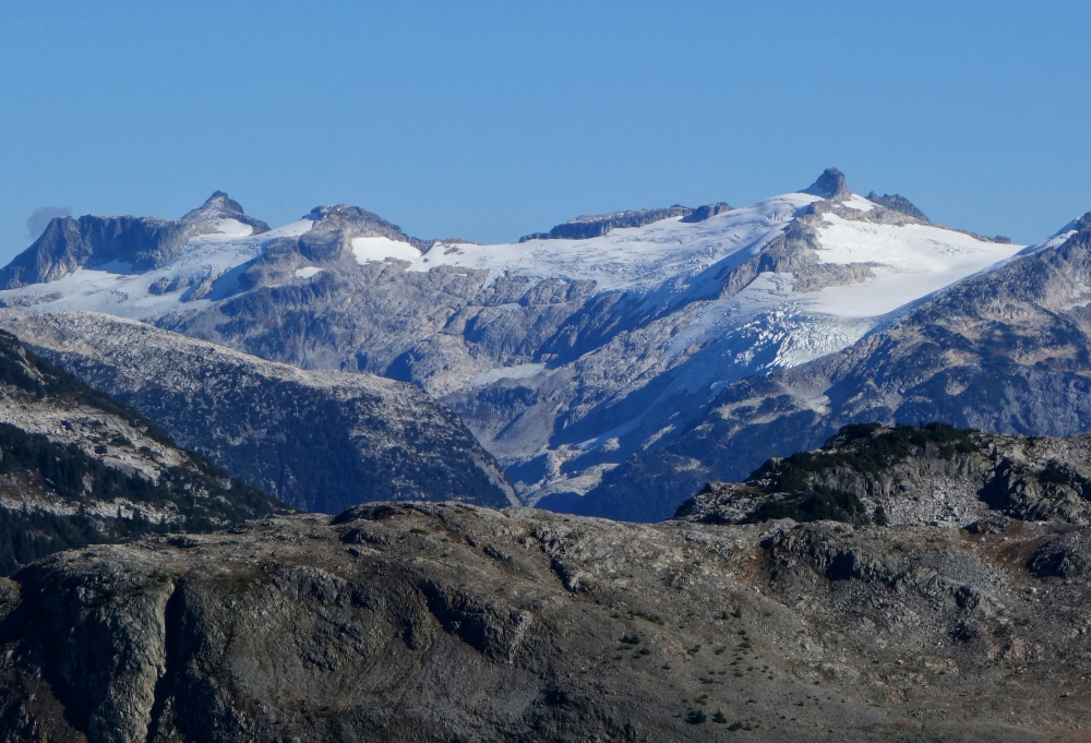
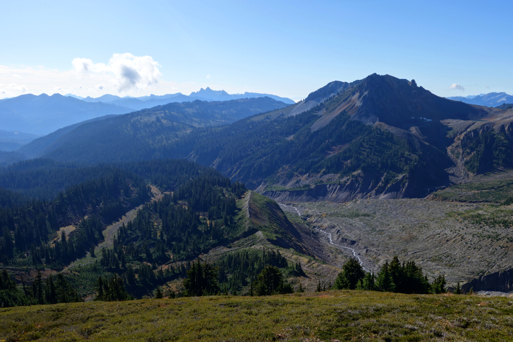
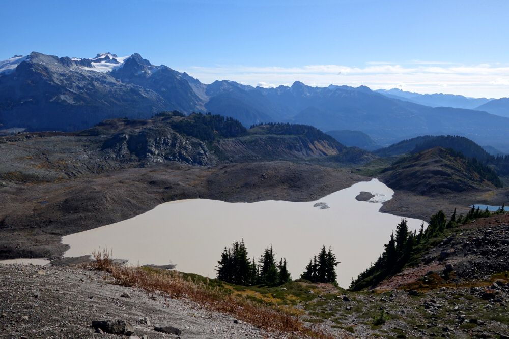
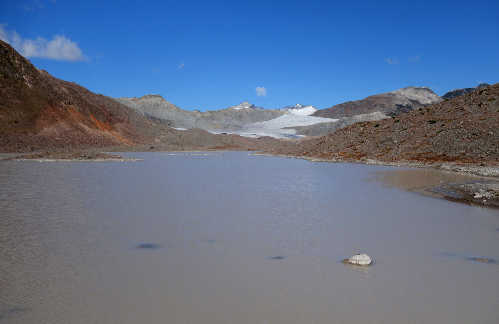
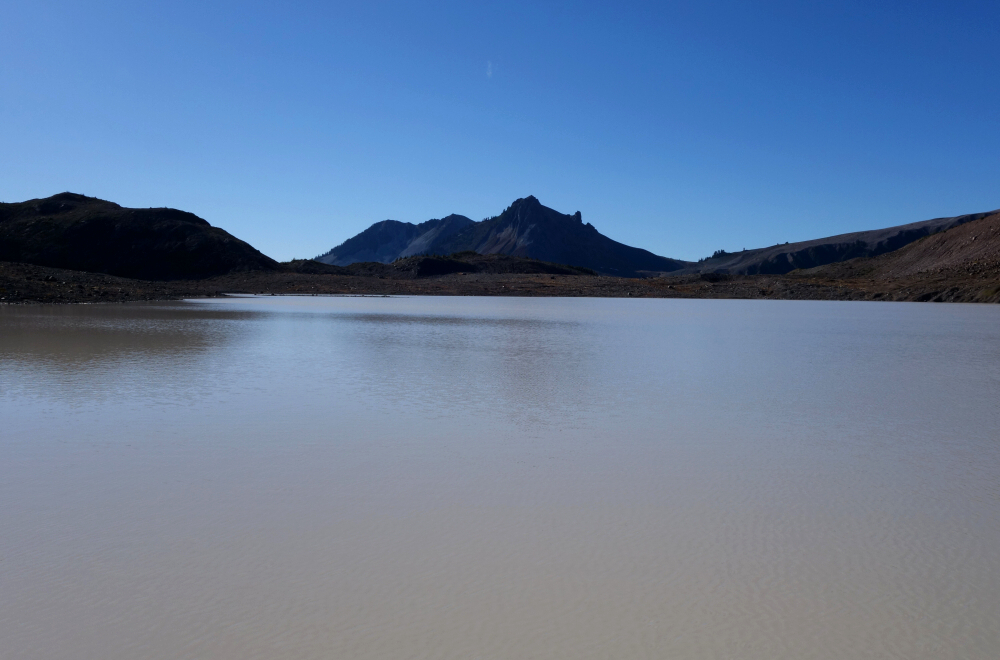
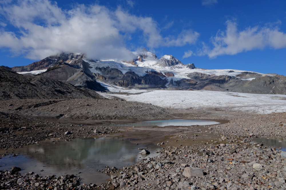
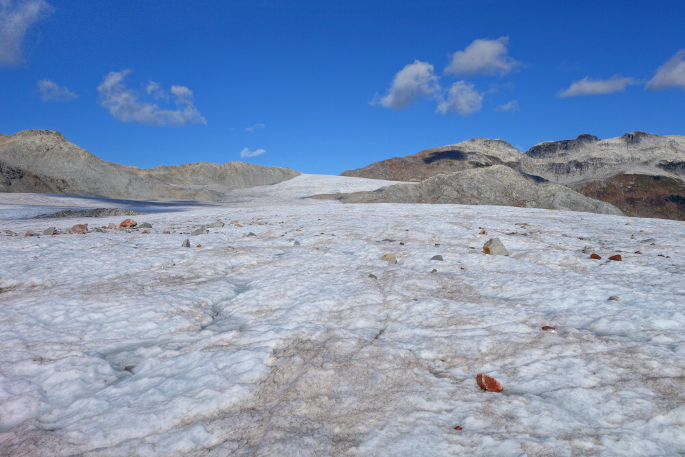
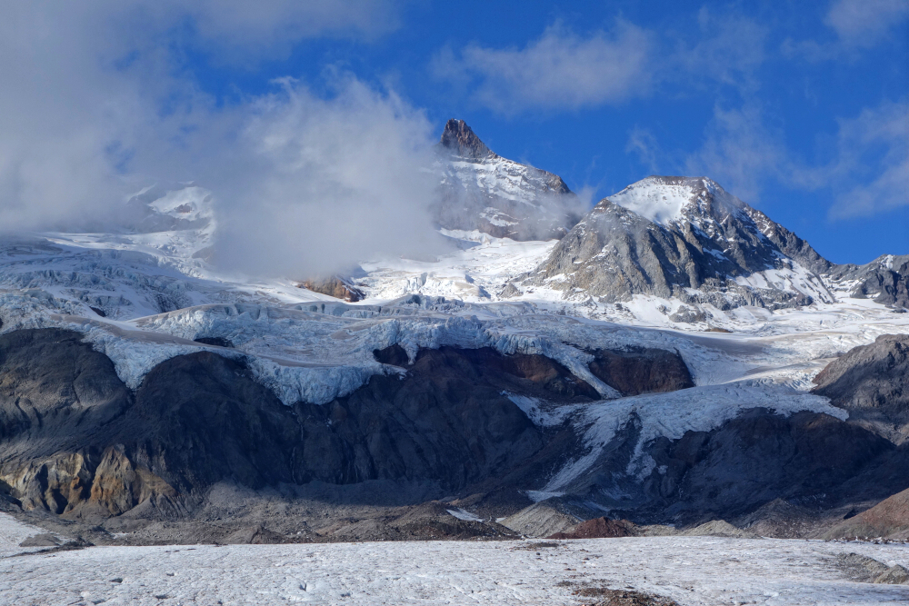
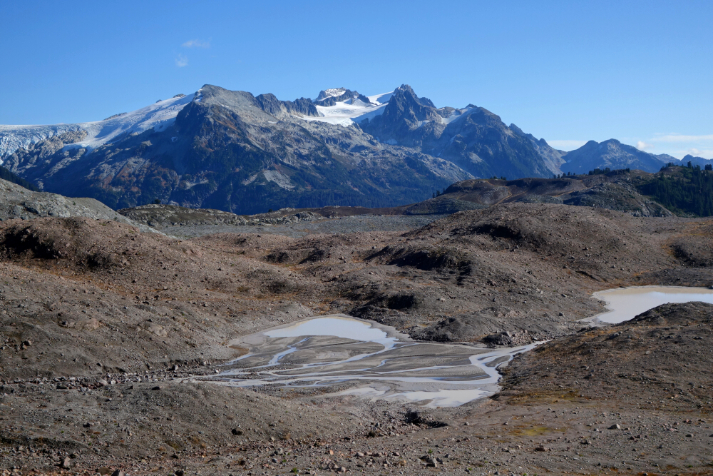
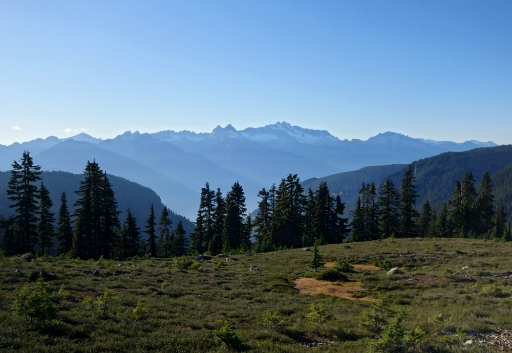
Capitalizing on the continued sunny late-October weather, this was the first of two back-to-back objectives in my former home state. As it's a relatively short drive from North Vancouver, I didn't feel the need to get a terribly early start, and it wasn't until noon that I began the hike. Just under 4 kilometers to the Railroad Grade Trail junction, staying left and continuing into the basin below Park Butte's east-facing slopes. Up to a wide bench on the East Ridge before turning right and following the trail around the south-side to reach a saddle directly below the peak. Short walk from there to the lookout, whereupon a glorious in-your-face view of Baker's enormous Easton and Demming glaciers awaited! Prominent satellite peaks such as Colfax and Lincoln also very hard to miss. Twin Sisters Range looking good there to the WSW as does the Picket Range due east, both recalling fond memories of adventures past!

Started down after having my fill of the views, encountering numerous other parties out enjoying the snow and Kulshan's majesty. Back to the trailhead, with a Boeing test flight still being conducted overhead when I got there, leaving behind a pair of contrails against an otherwise perfectly cloudless sky. Seems like everyone was out making the most of this beauty of a day!

Click here to view.

Saturday, January 18, 2025

Opal Cone - via Mamquam Lake Trail, October 2023


Opal Cone is a cinder cone located on the southeast flank of Mount Garibaldi in the Coast Mountains of British Columbia. I got a good look at it about a week prior to this hike from The Gargoyles and Columnar Peak and was intrigued by the pyroclastic wasteland and icefields that lie just beyond. The "cone" and surrounding area would surely also offer outstanding views of Garibaldi itself from a side not often seen up-close. At around 35 km round trip, the approach is no slouch mind you, but with most of it dispatched by bike, it takes much less time and effort to get there than it would seem. Been out to the Elfin Lakes and beyond several times by now, so this report will just cover the hike and return to where I stashed my bike near the Elfin Shelter.

Continuing by foot from the shelter, I passed the "Saddle Trail" junction and proceeded straight onto the Mamquam Lake Trail for some ~3 kilometers to a small footbridge spanning Ring Creek. Classic volcanic terrain here, calling attention to the bare and eroded pumice slopes with a snowclad Atwell Peak towering above. The trail then parallels the creek for another ~1.3 kilometers before turning up to gain Opal Cone's south shoulder. Around the south side for a bit before turning left and following the Opal Cone Trail as it ascends the crest of an old lateral moraine now on the cone's east side. Up a short, steep pitch and then onto the crater rim, which I followed counterclockwise over several bumps to reach the true summit. Wowzers! What a view! Diamond, Garibaldi, Bishop and Lava glaciers from left to right looking north, the "Big G", Atwell, Diamond Head and Gargoyles looking west, peaks on the Mamquam Icefield to the east and so much more!

With time to spare, I decided to go get a closer look of the Lava Glacier and so completed my orbit of the crater rim before returning to the Mamquam Lake Trail junction. Turning left now, I contoured around a chocolate milk-colored moraine lake, crossed its outflow and proceeded along the east shore towards the glacier. Maps show the glacier extending all the way to this lake, but as with everything else these days, the snout has pulled back considerably and now lies at least a half kilometer to the north. Slogged my way though soggy pumice and glacial till before finally setting foot on the ice. Flat as a pancake, the glacier extends a good ~3.5 kilometers straight north to intersect with the South Pitt Glacier at the headwaters of the Pitt River. Briefly considered pushing on in that direction to tag Viking Ridge (Peak) but ultimately decided against it as I had no interest in returning in the dark. Regardless, the highlight here is the view west of the Garibaldi Glacier with it's teetering seracs and hanging ice cliffs.

Having soaked it all in as much as I could, it was finally time to call it a day. Back to the trail, taking a shortcut this time by cutting over on the right side of the lake. Returned to the Elfin Shelter in good time, hopped on the bike and back to the trailhead about 8.5 hours after first getting going that day. This one greatly exceeded my expectations and makes for a fantastic Fall objective!

Click here to view.
home | email | copyright

All photos and text for sverdina.com are copyright © 2002-2025

It would be very much appreciated if you please ask before copying and/or re-publishing content from any part of these pages. To do so, please click here to send a message via feedback form.

Thank You.

©2025 sverdina.com |