Select from list below to jump to a specific area on this site.
| Latest Posts |
Monday, March 24, 2025
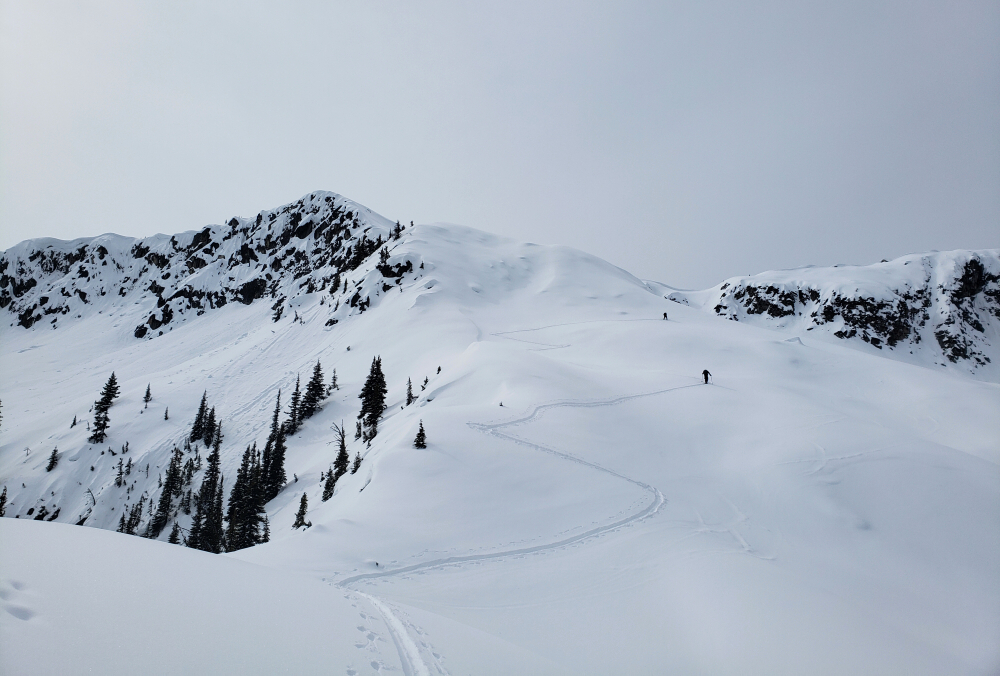
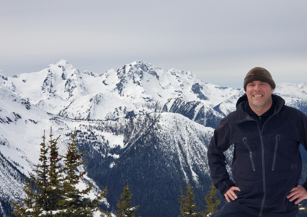
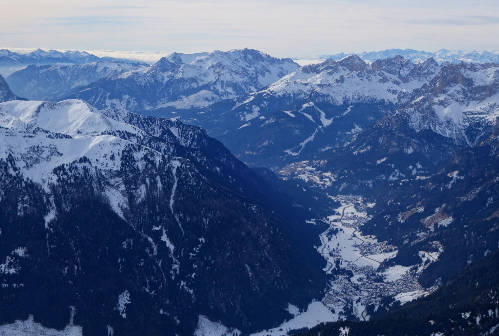
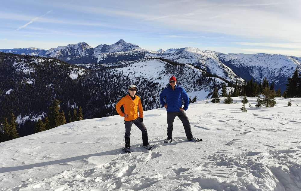
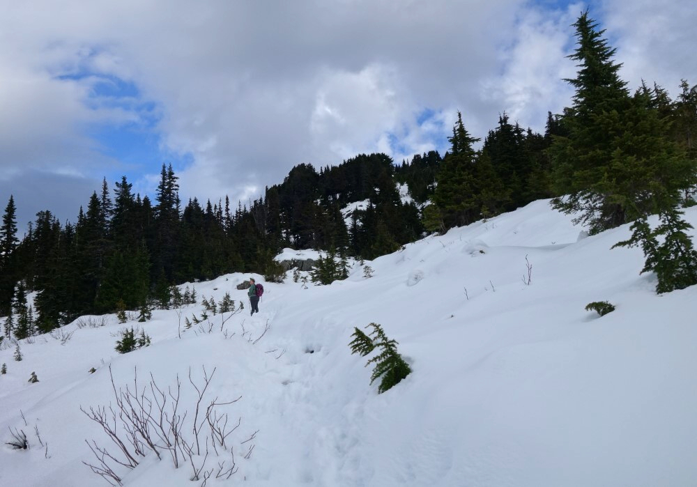
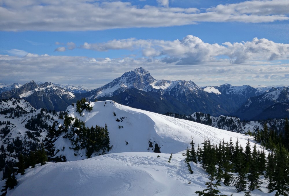
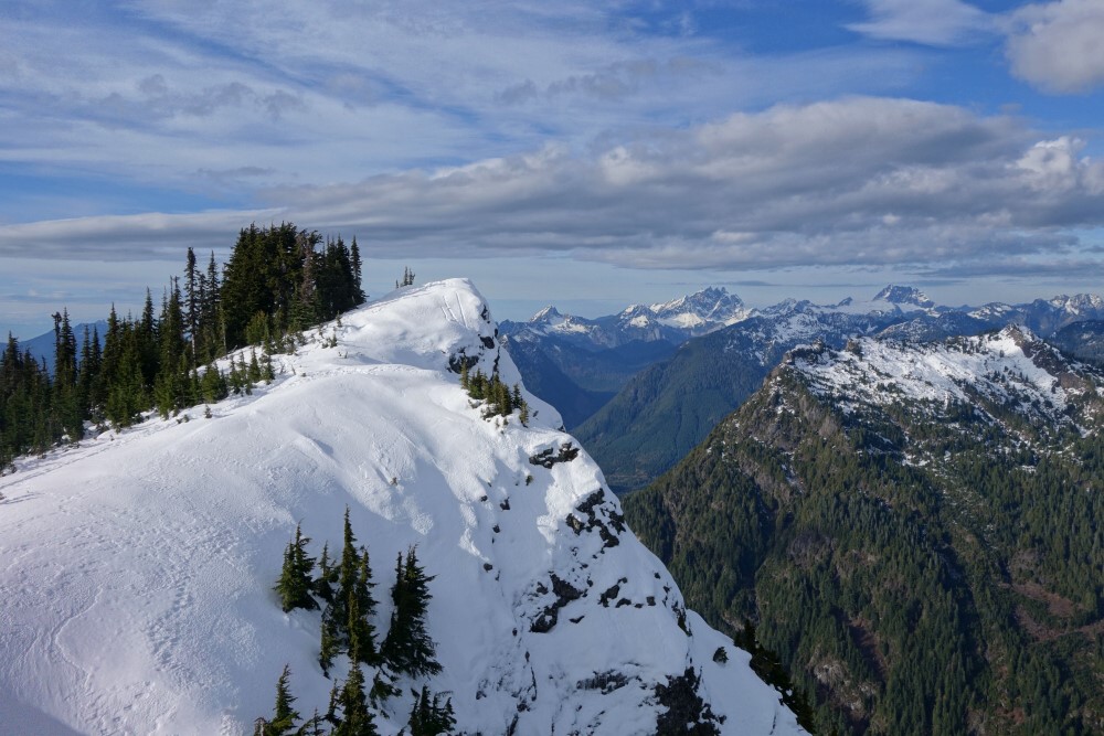
Steep Peak - Split/touring, March 2024
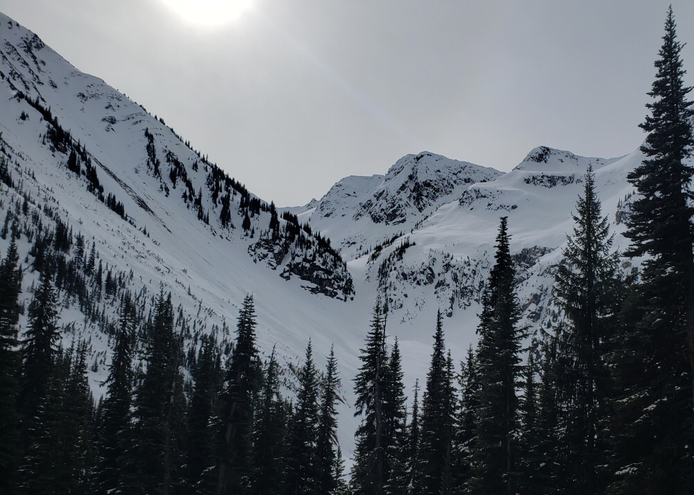
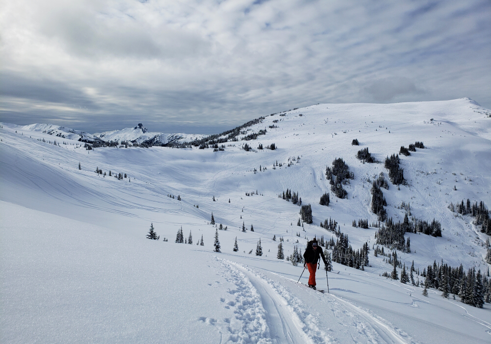
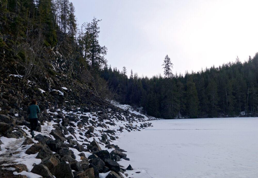
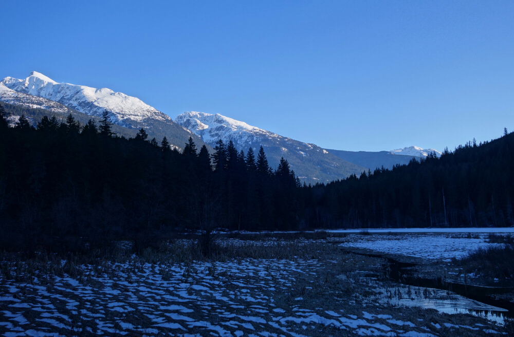
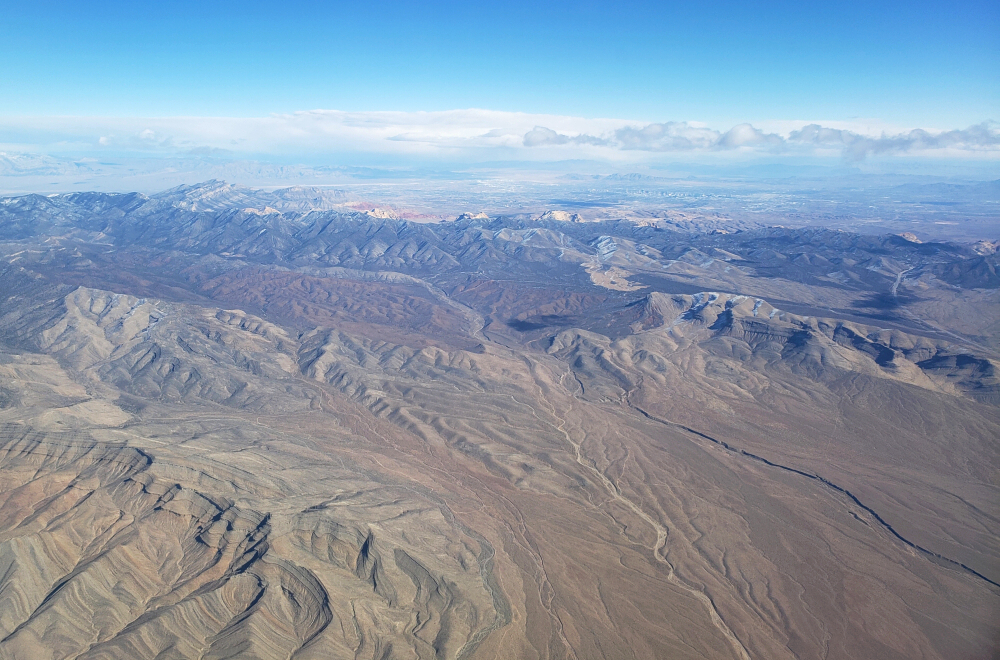
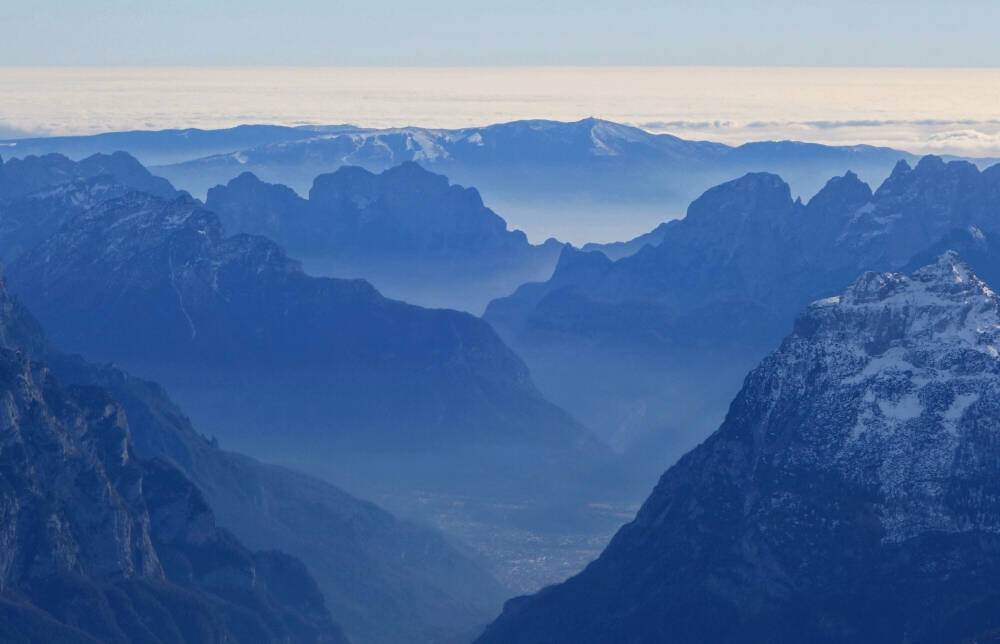
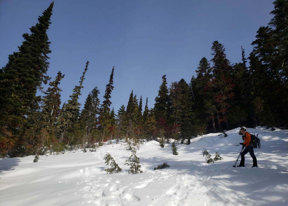
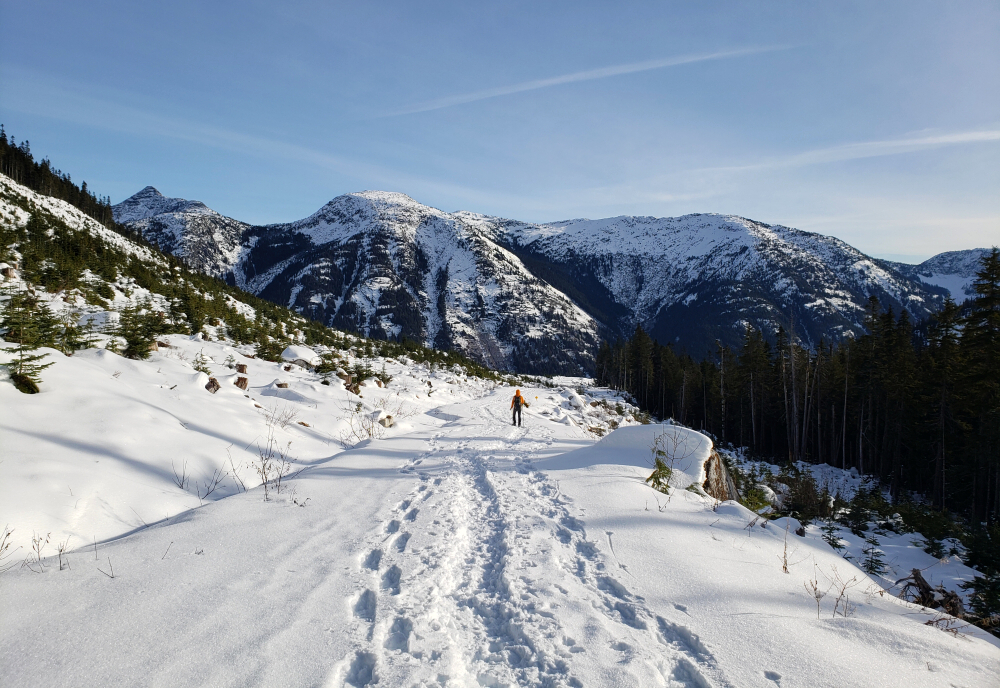
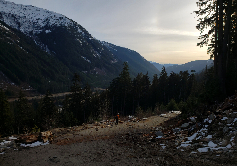
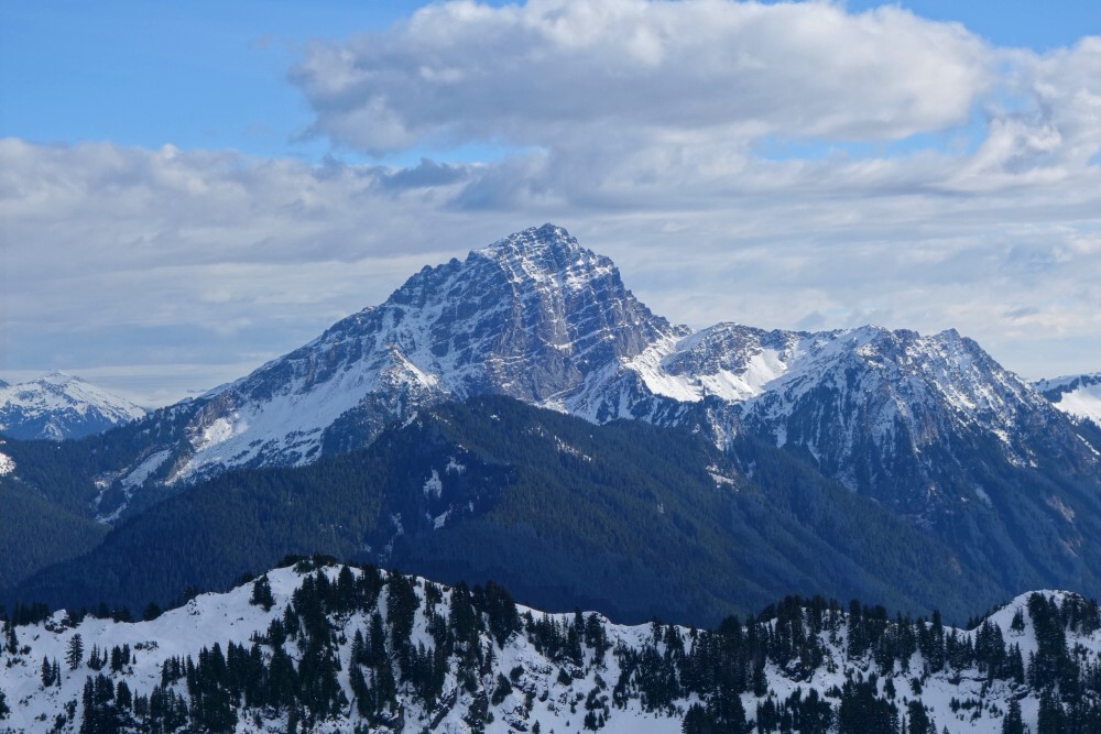
Back to the Duffey for my "annual" splitboarding antics, this time up on Steep Peak. First laid eyes on it from Blowdown Peak, just 5 kilometers north as the crow flies. As with various other objectives out this way, Steep is a popular ski touring destination, with reasonably good and quick access from Highway 99. The approach is by way of the Steep Creek FSR, same as that initially used for Blowdown, but branches right at a fork for a total of about 5.5 kms to reach Darkside Lake nestled in a gorgeous alpine cirque with Steep and Darkside peaks towering above. Near the lakeshore is Beeker's Cabin which makes for a fine basecamp for those intending to spend a few days in the area exploring the slopes on Steep and beyond. I was here only for the day as I pulled over at the large shoulder adjacent to the highway, sorted my gear, and made the short walk to where the FSR starts.
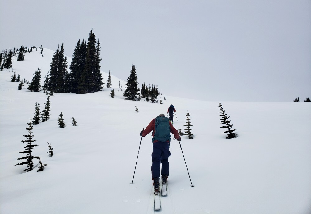
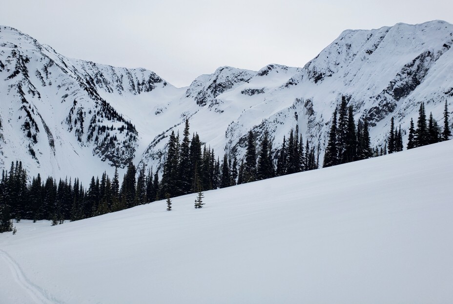
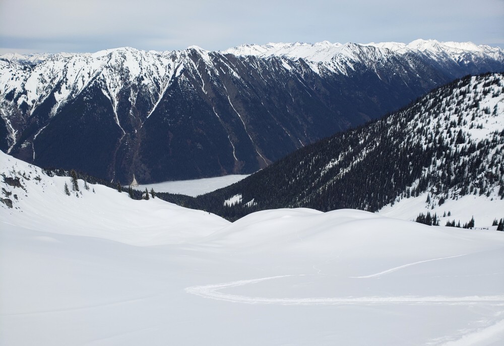
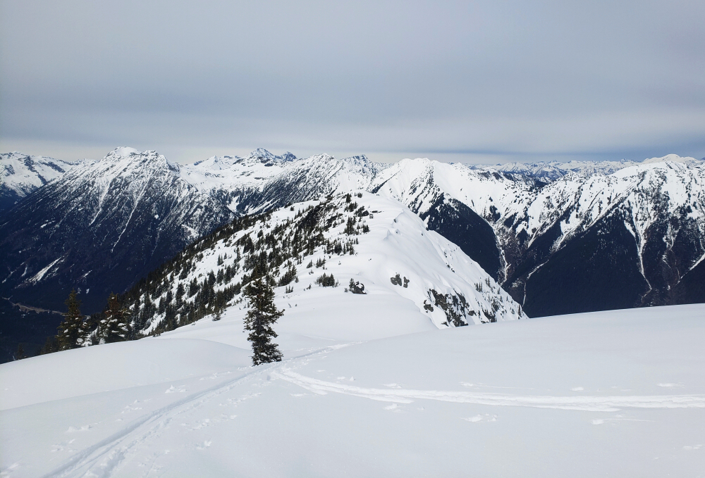
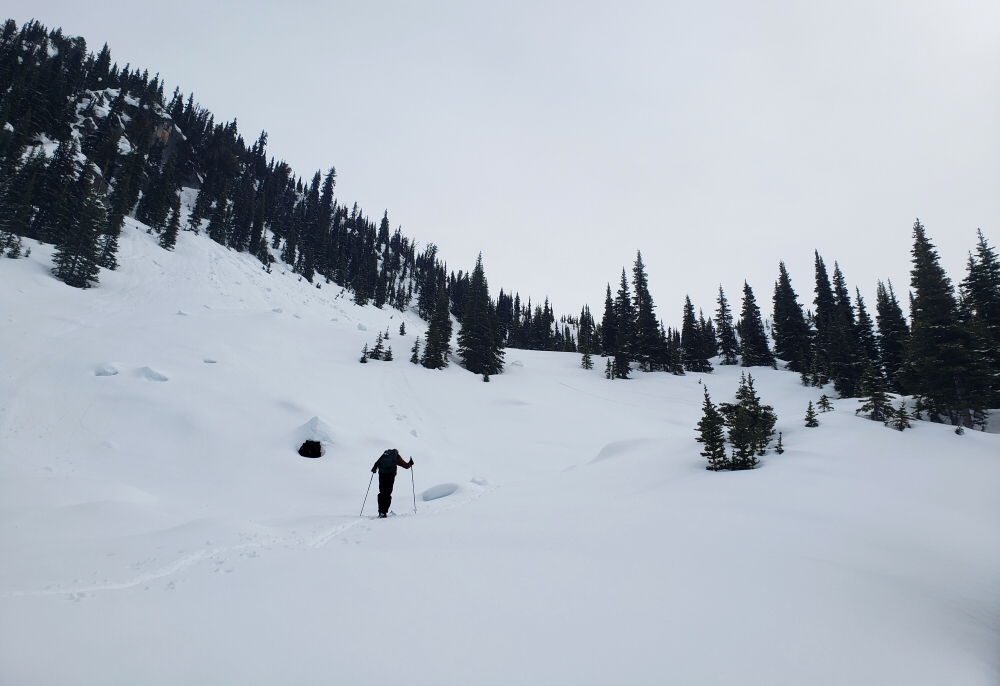
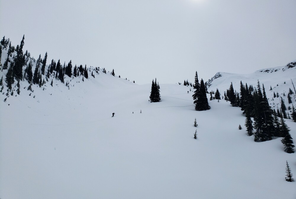
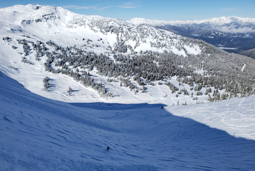
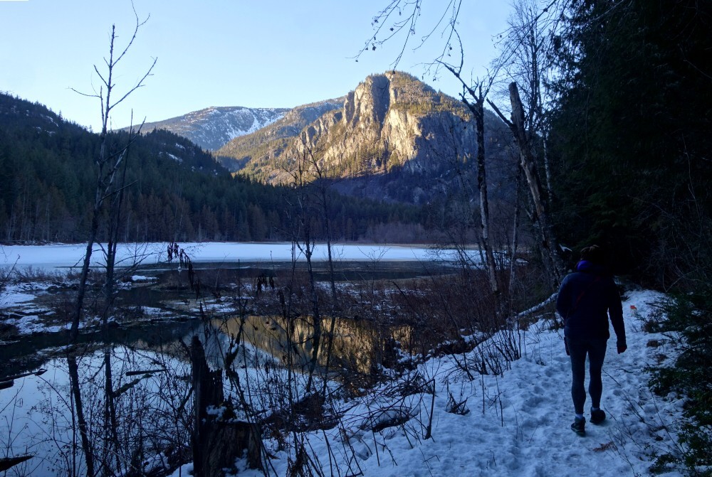
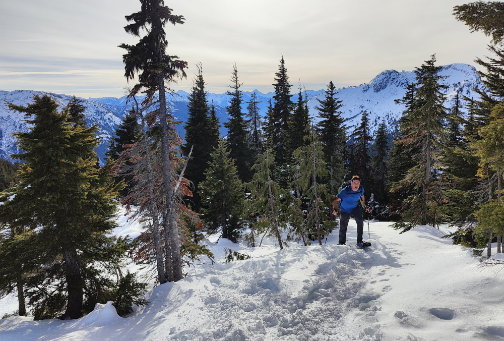
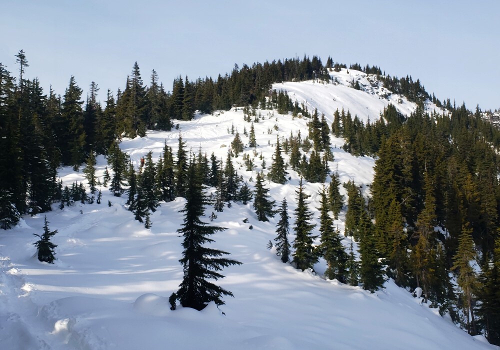
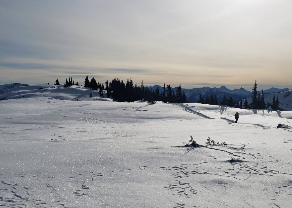
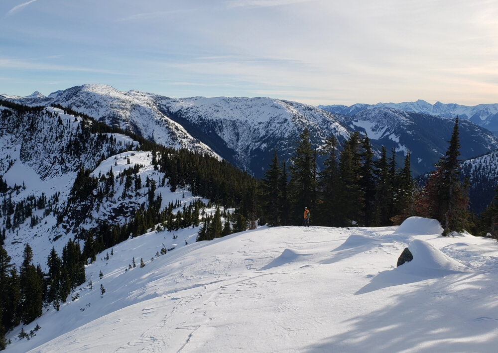
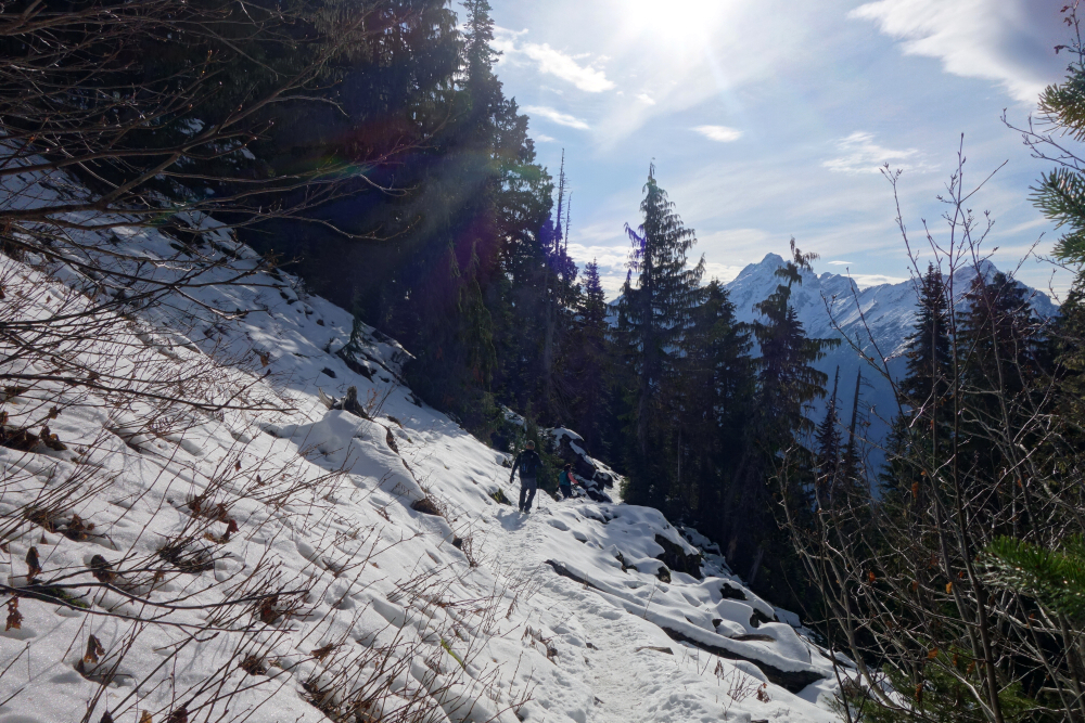
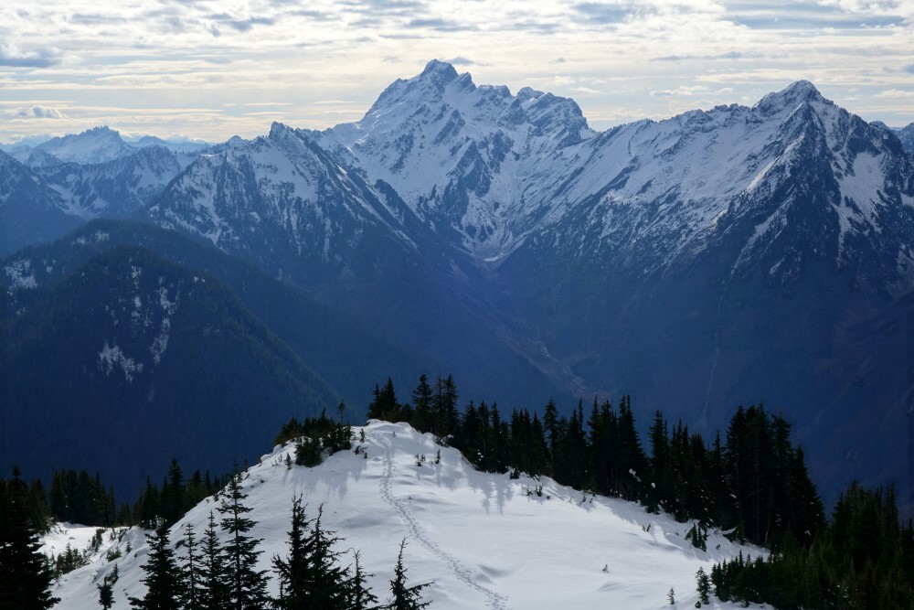
Strapped on the skins and started touring just as a truck pulled up with a pair of snowmobiles in tow. Barely 5 minutes into my trek, the sleds come up from behind and I'm offered a ride. Um...yes please! Off we go, effortlessly cruising up the road stopping to park finally at a clearing no more than a kilometer from the lake. Woohoo! Decided to team up with my new sled mates as they were here to ski as well, the three of us now proceeding along a skin track before branching off to the right somewhere behind the cabin. Steep switchbacks through the forest lead us to a large open area on the north spur of the NW Ridge. Looking to the NE-facing slopes from here, I note evidence of crowns and recent slide activity running down to the lake far below. Began questioning my plans for the day, despite the low-to-moderate avalanche forecast. But first we had to gain said ridge, touring up along the spur before kicking switchbacks for the final push to the top.
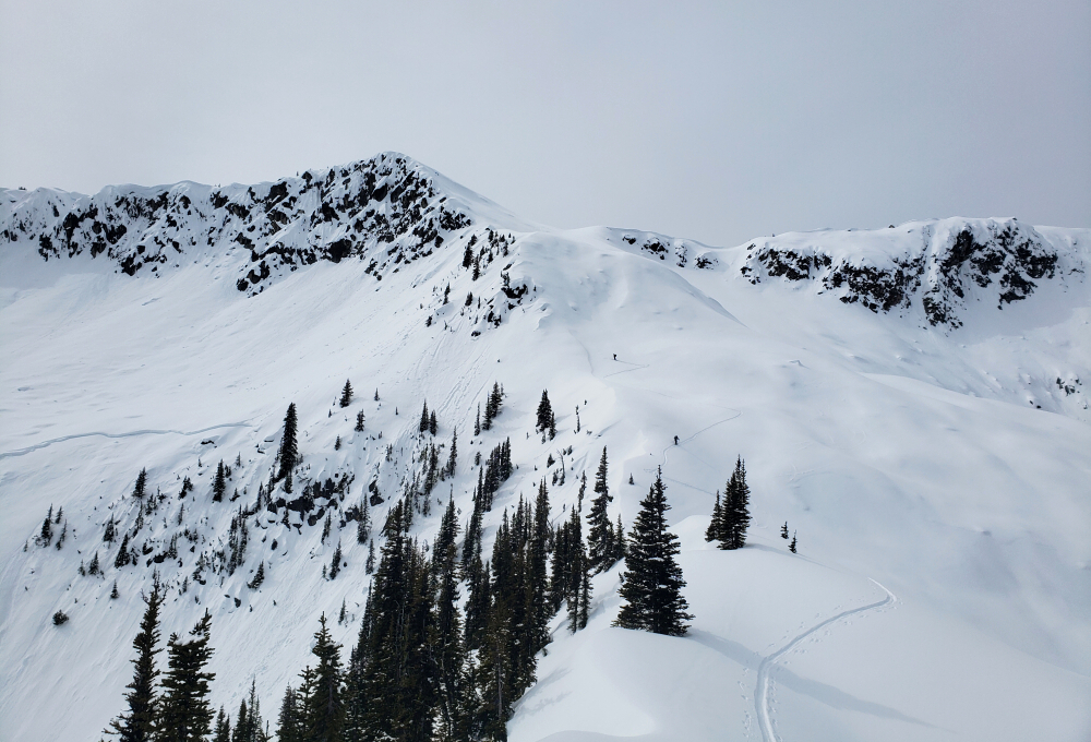
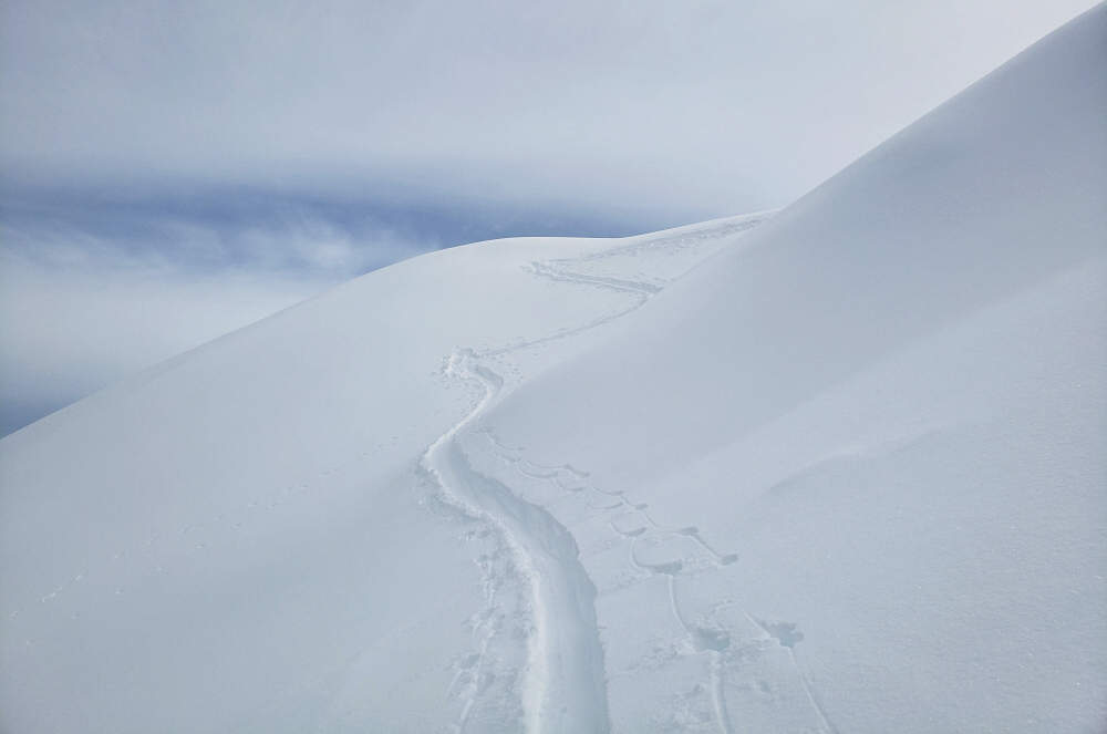
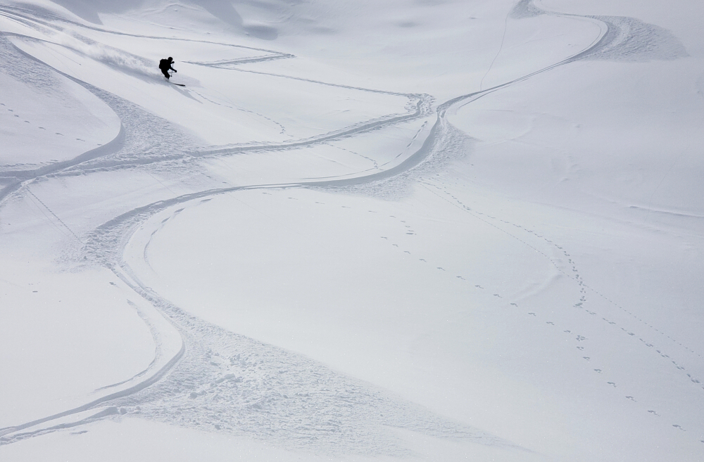
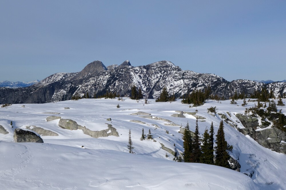
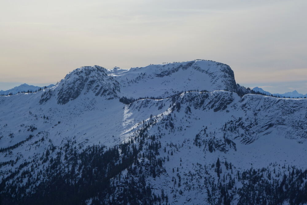
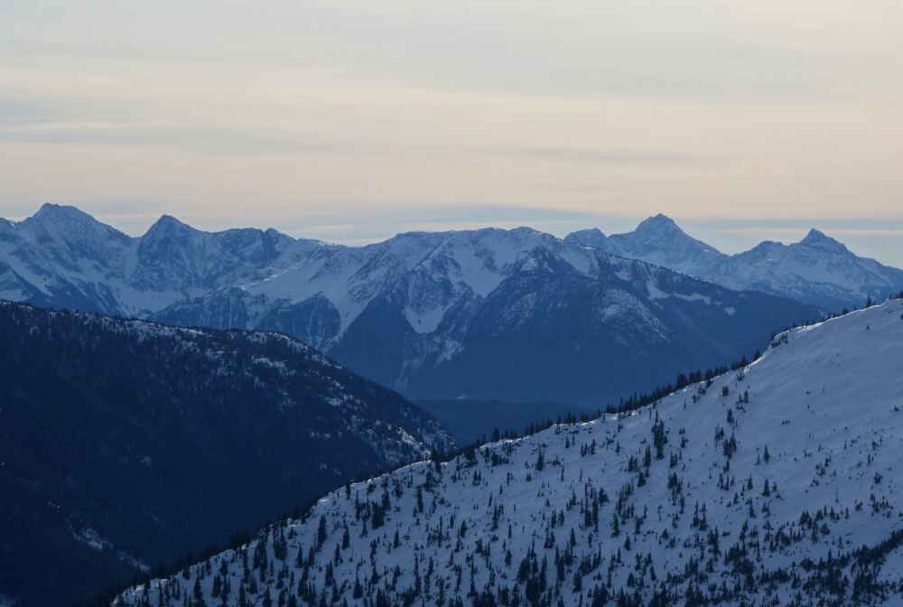
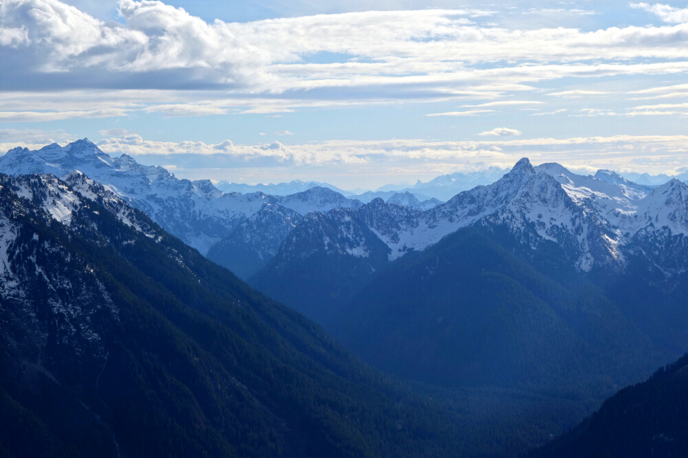
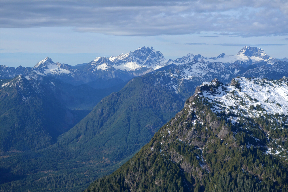
Stopped for a break on the crest now with an unobstructed view of the remaining route to the summit. Ugh! Still a ways to go and by the look of it plenty of annoying micro-terrain to deal with. Between that and the signs of instability observed earlier, I was undecided. If I pushed on, I'd likely tempt fate and compel myself to ride down one of the enticing chutes on the NE side as originally intended. Sensing my quandary, the two must have taken pity on me or perhaps they thought I was a bit "off" for being out here by myself and offered for me to join them instead. Live to ride another day was the prevailing thought in my head, so I took them up on their offer and enjoyed a couple glorious laps down the somewhat less avalanche exposed north-facing bowl formed by the spur and the NW Ridge. Heading back, we returned to the forested slope above the hut before commencing one last scrappy descent through the trees back to the sleds. And yes, I also happily accepted a return ride back down to the highway.
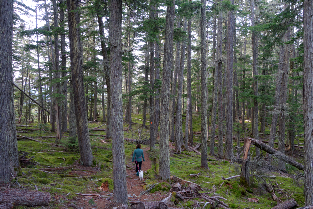
Grateful for babysitting me on this day, I bid the two kind souls from Lillooet adieu and set out for points west. Incidentally, in our conversations we learned that our paths may have crossed previously on another of my solo excursions off the Duffey - Mount Seton in August of 2020. Small World! It was also suggested that Steep and other peaks in the area make for great summertime scrambles, as there is in fact a good, brush-free trail to the cabin and beyond, with easily navigable terrain up to the alpine. With so much more left for me to explore out here, I'm sure I'll be back soon!
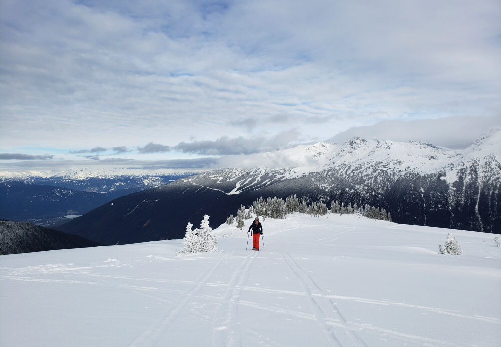
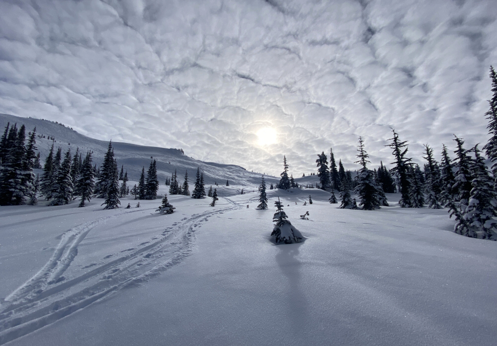
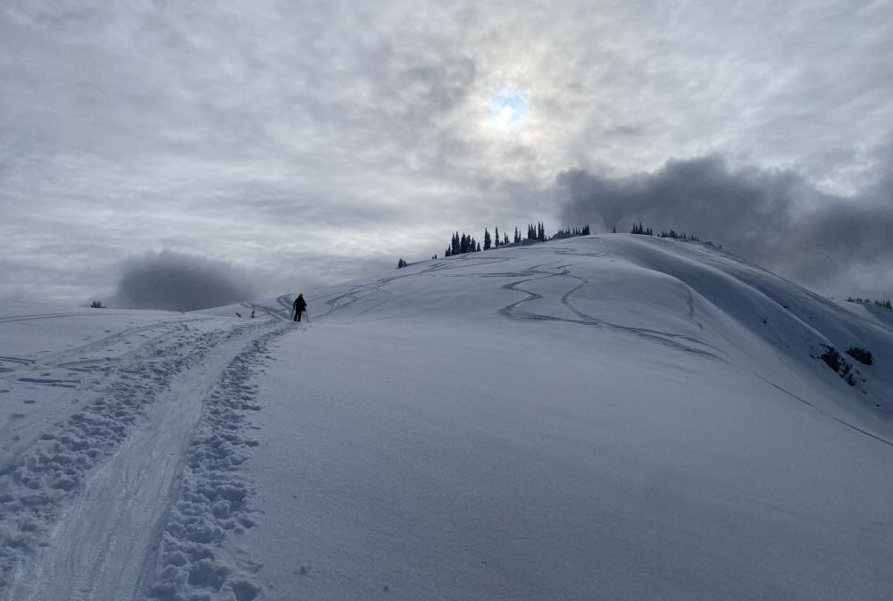
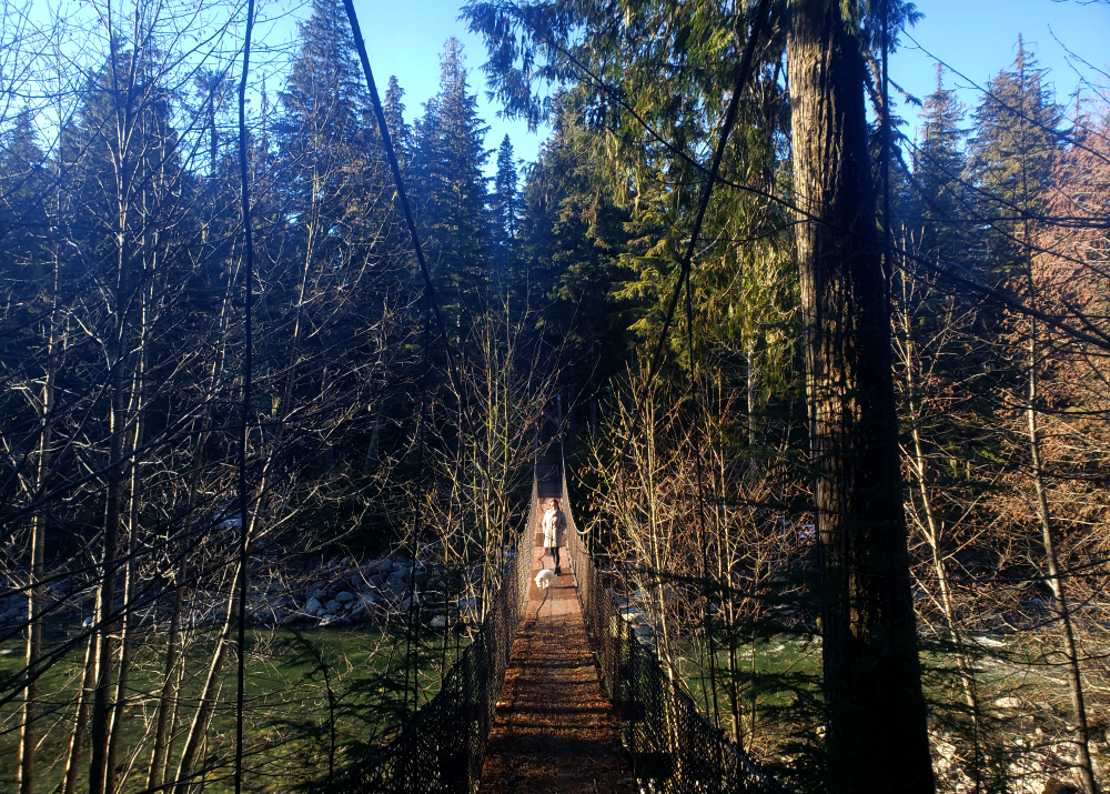
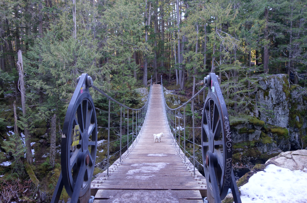
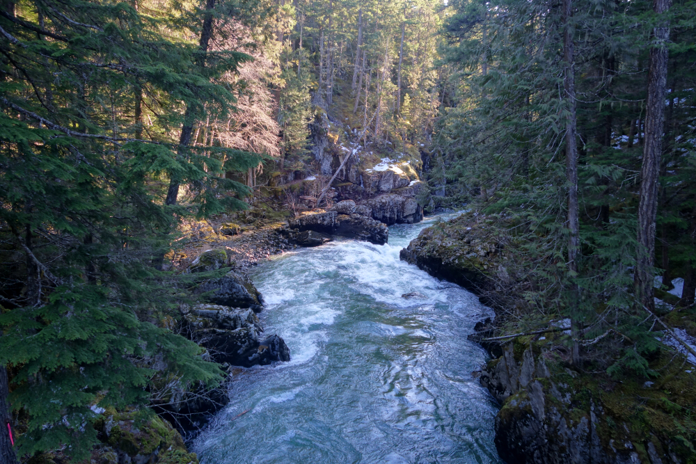
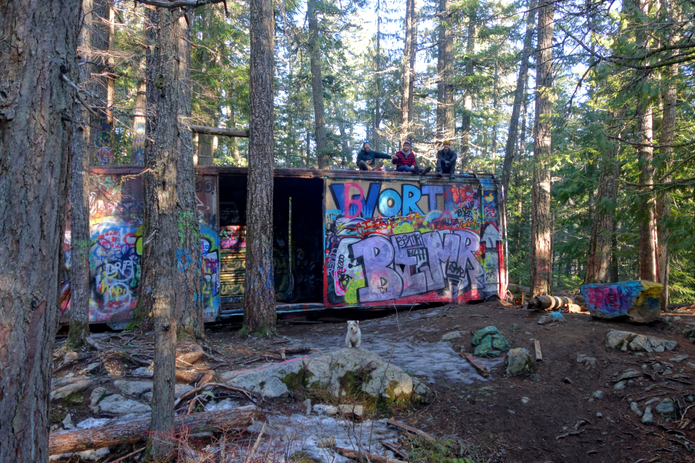
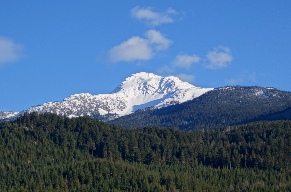
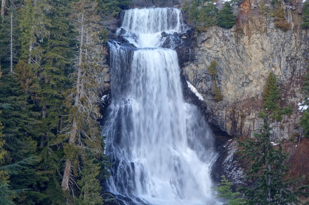
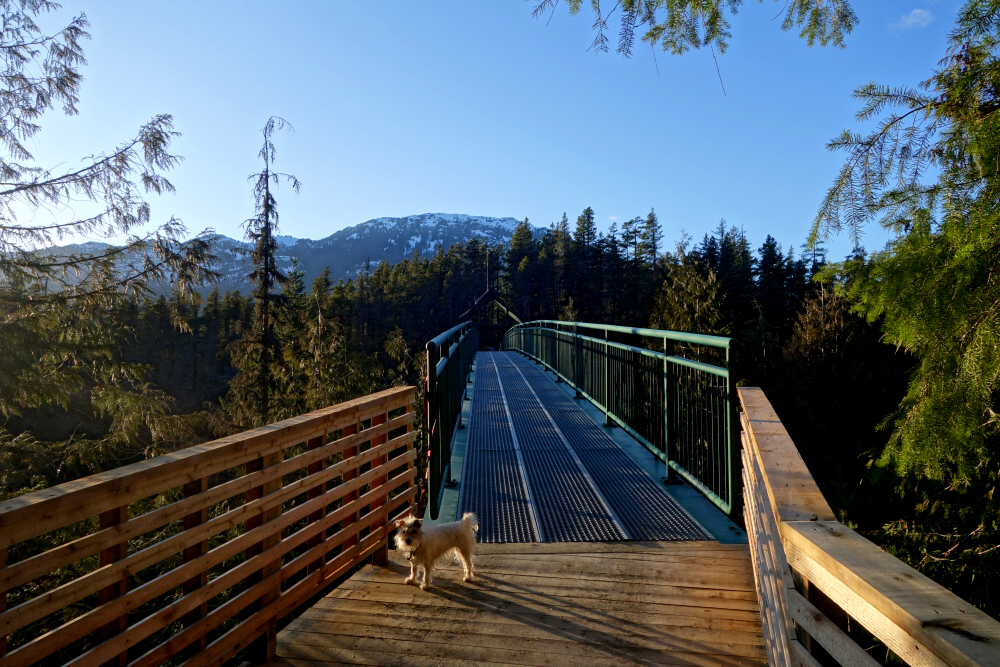
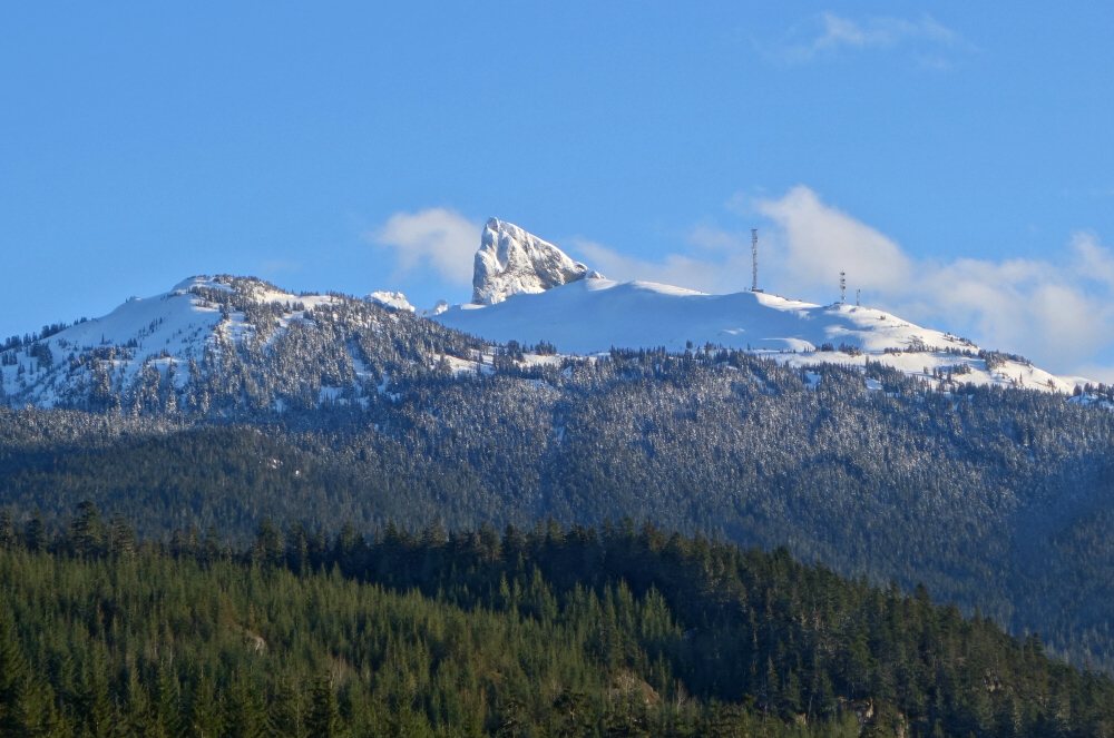
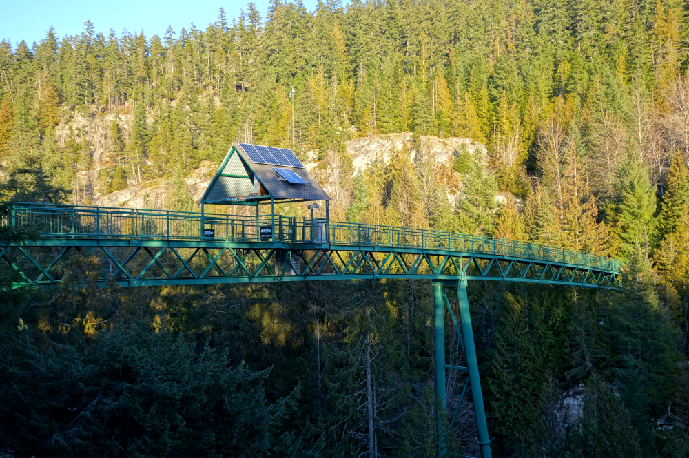
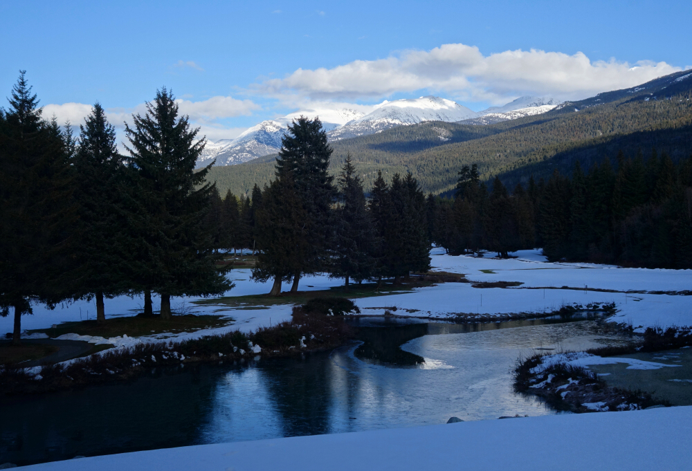
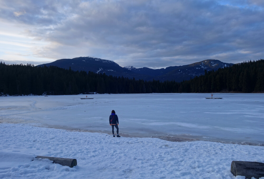
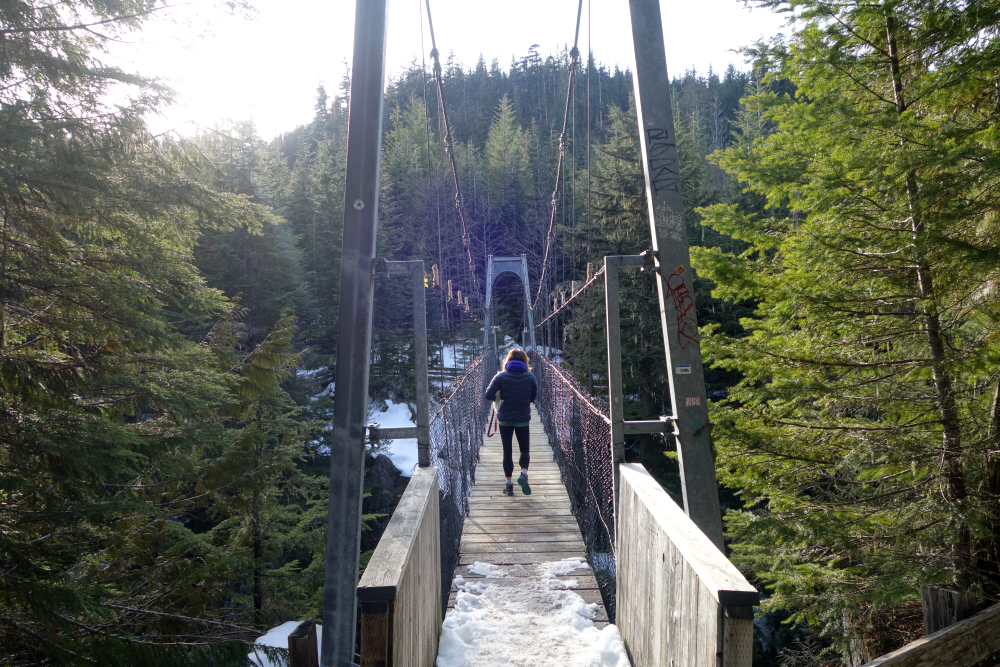
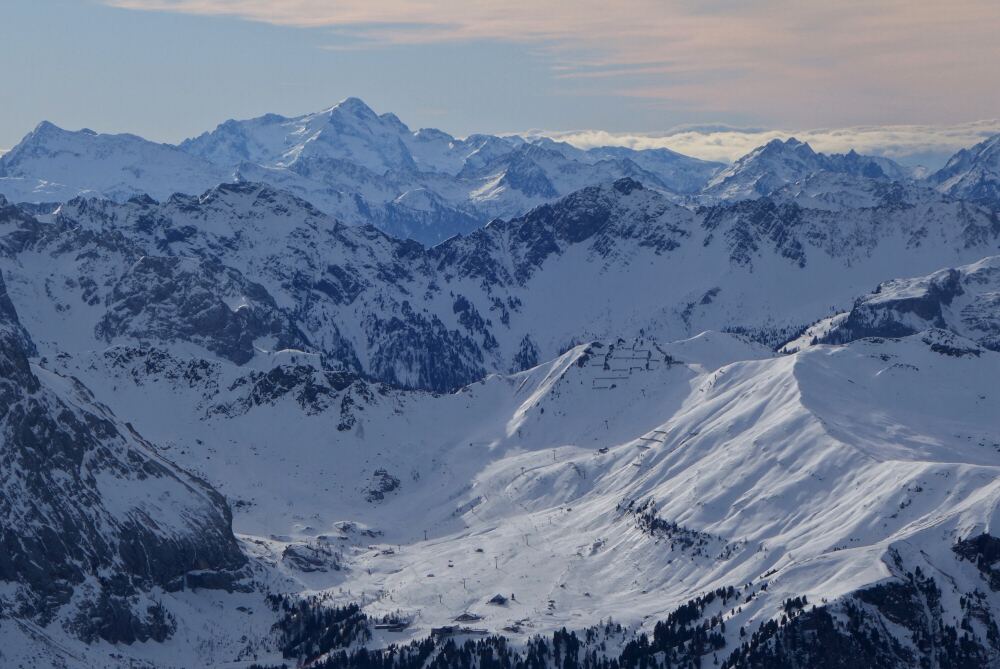
Decamped to Whistler for 20 days in February for something different. Had high hopes of capitalizing on this as a base camp for before-work freshies and maximising pow days sans the commute from N. Van. Ended up being far less of all that than hoped, courtesy of the uncooperative weather. As such, we resorted to splitting our free time between the precious few powder days during that period and exploring various local POI's that we'd otherwise never have bothered with. Not sure we would do it again, but the change of scenery was welcome as was the opportunity to call Blueberry Hill our home for nearly a month. Photos include touring and shredding highlights as well as scenery from various short walks and hikes in and around the village.
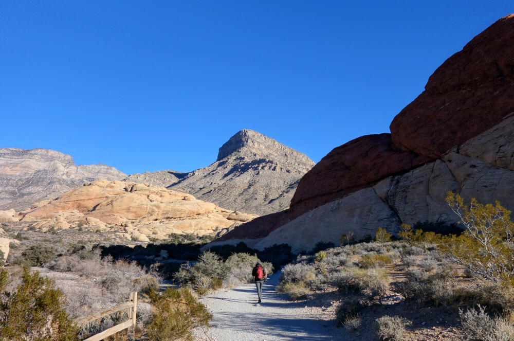
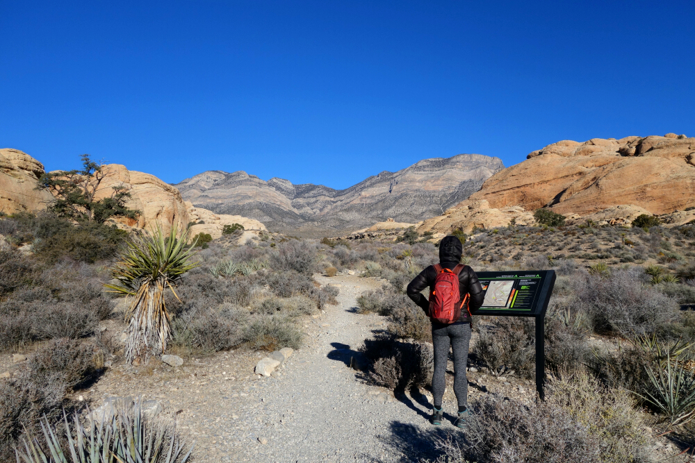
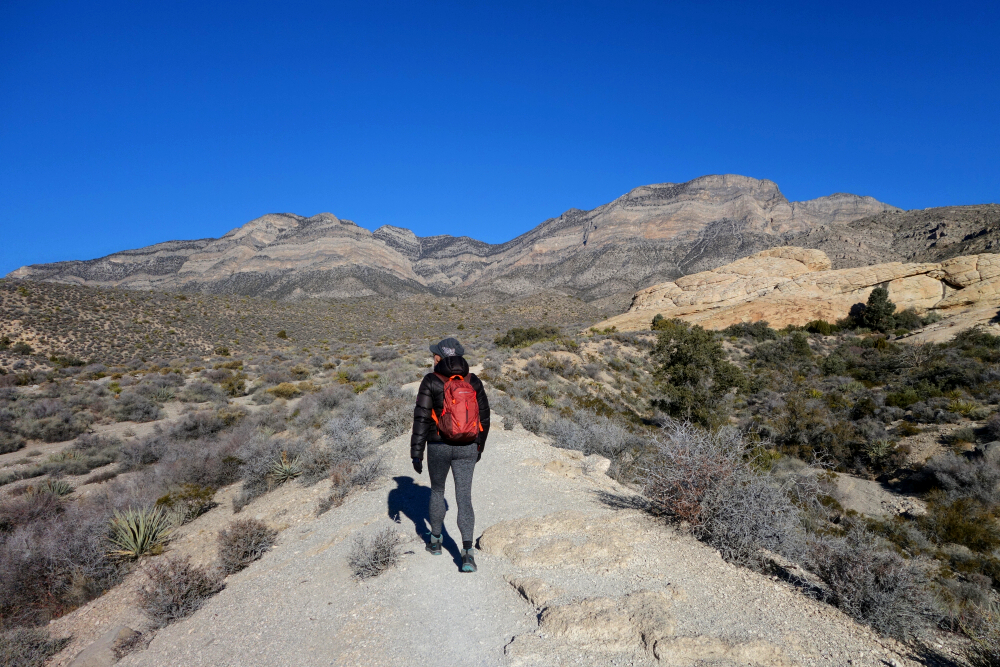
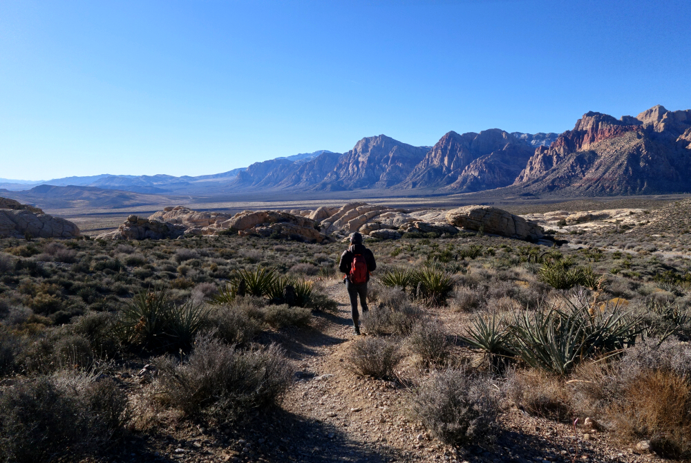
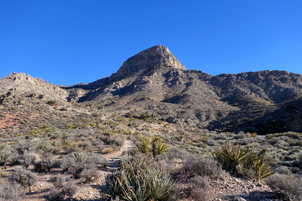
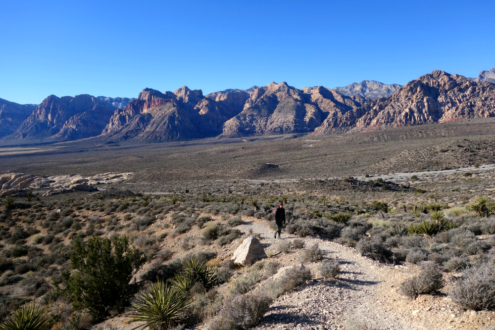
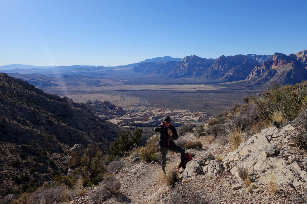
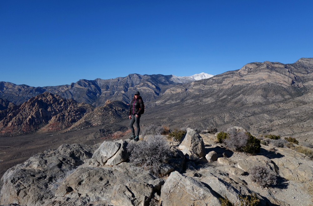
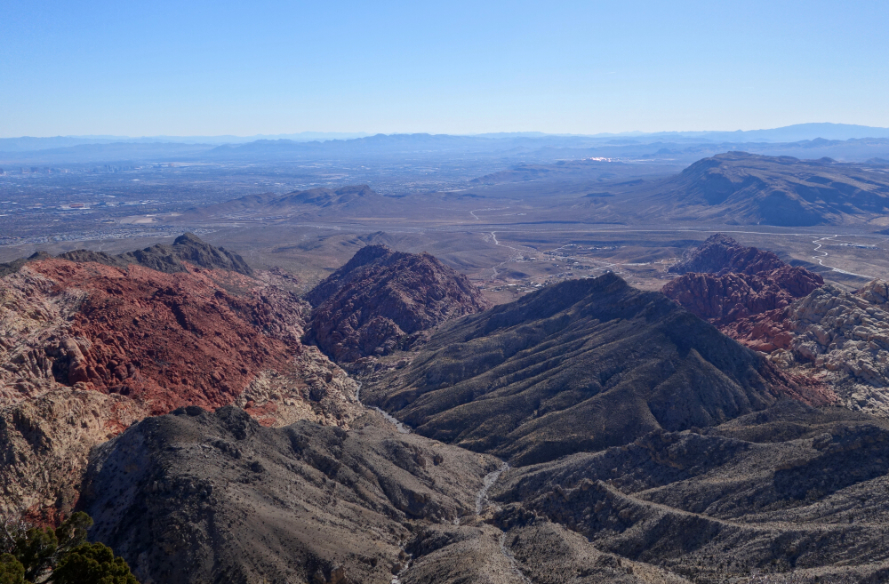
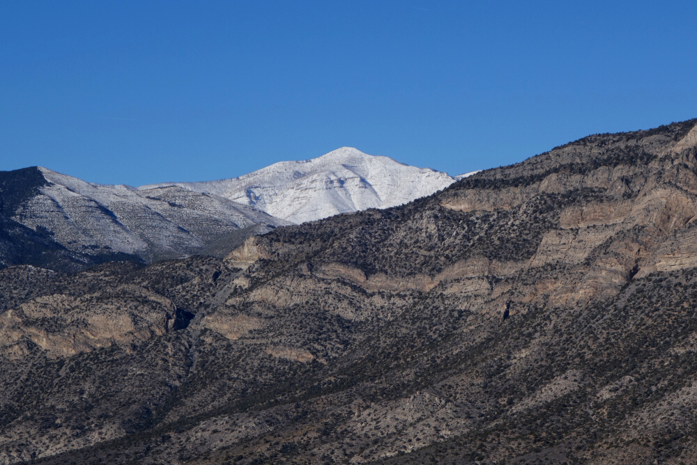
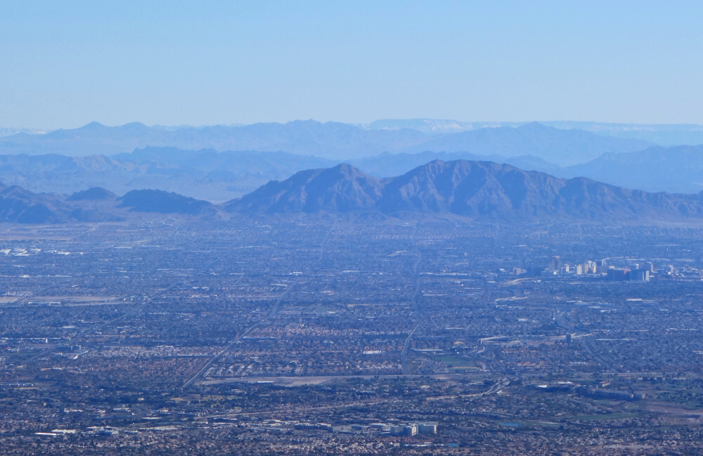
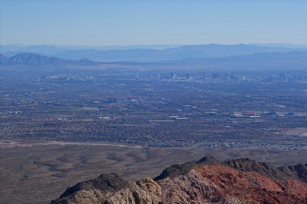
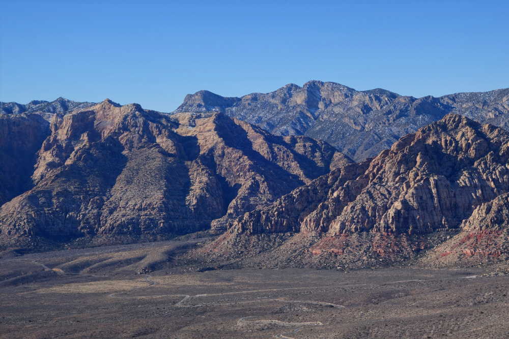
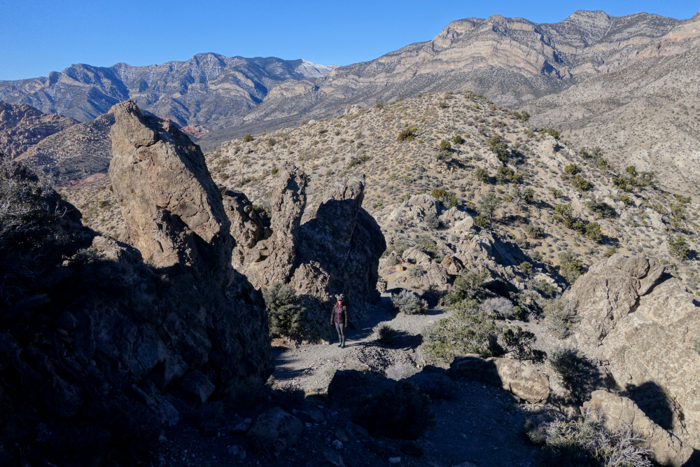
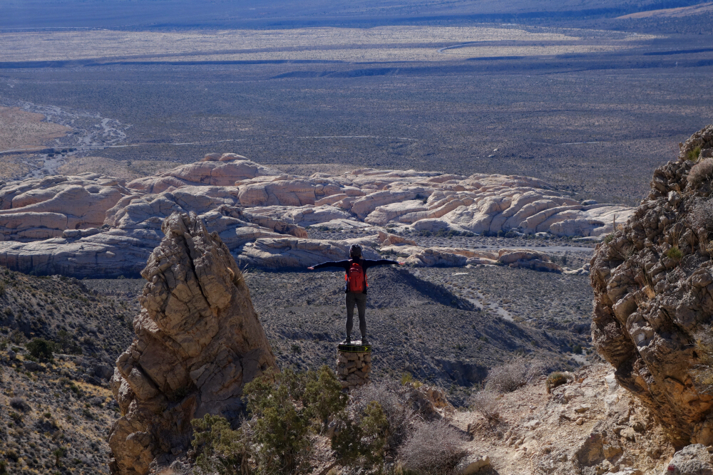
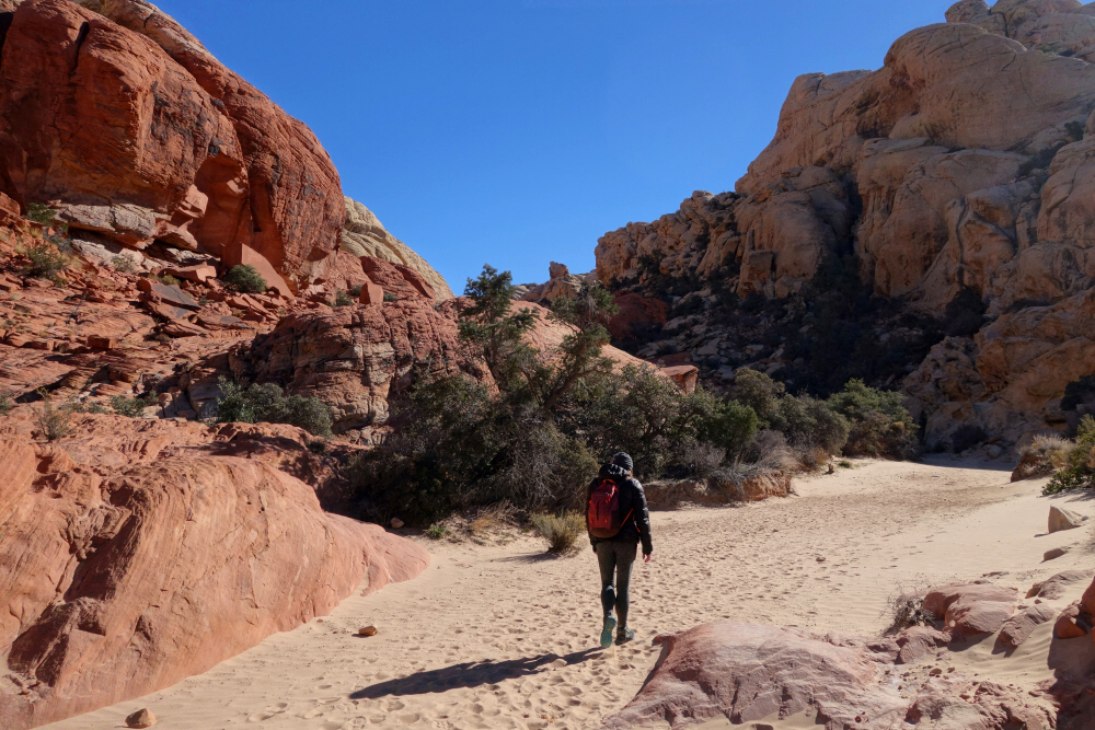
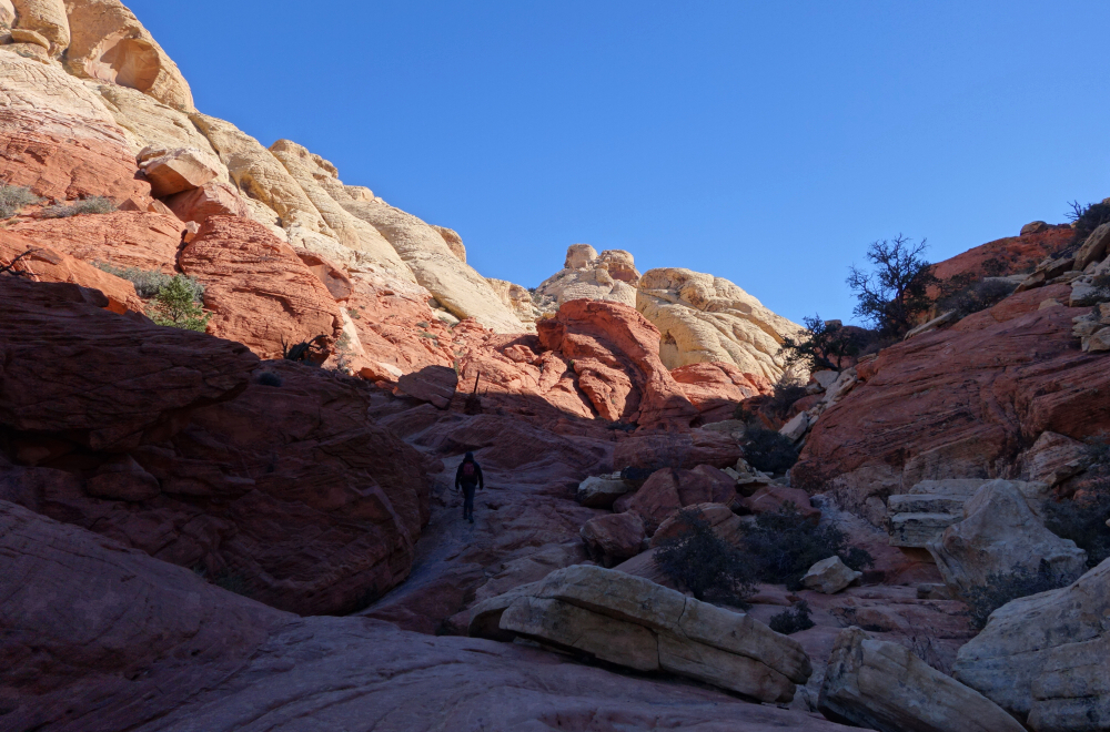
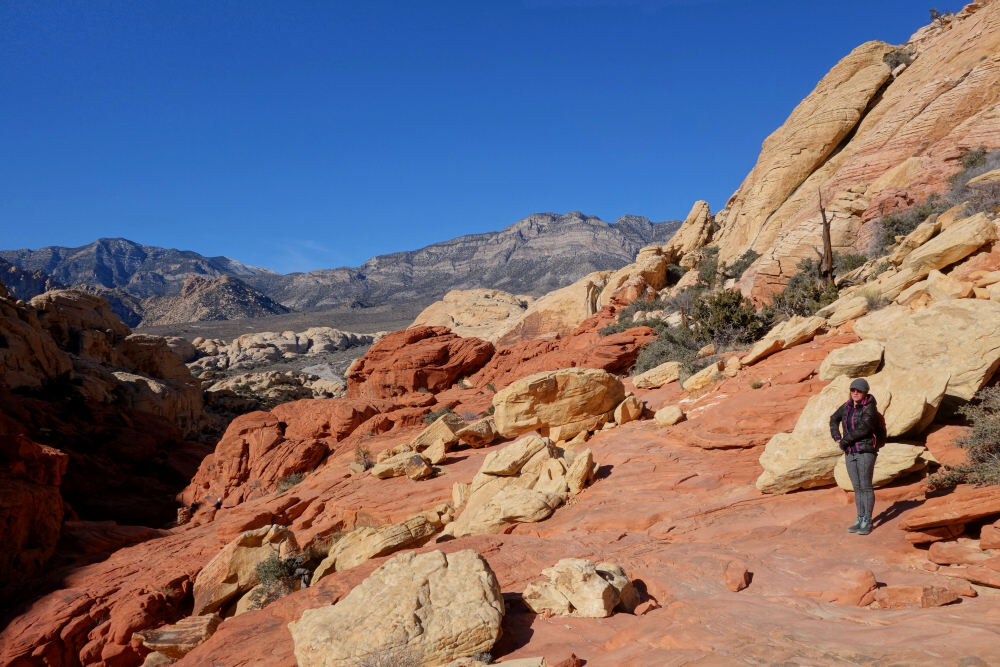
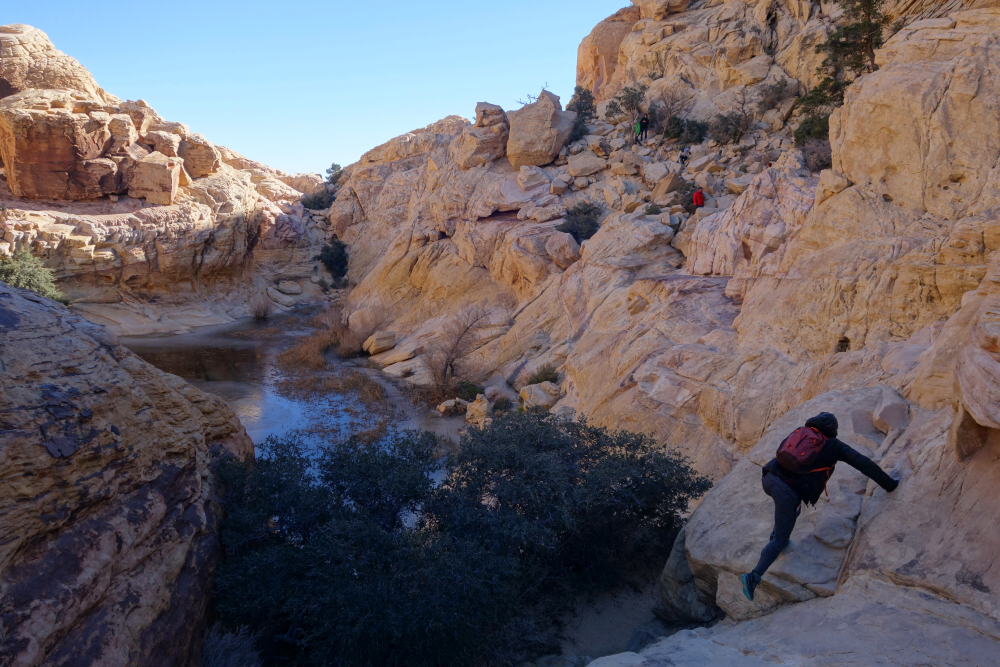
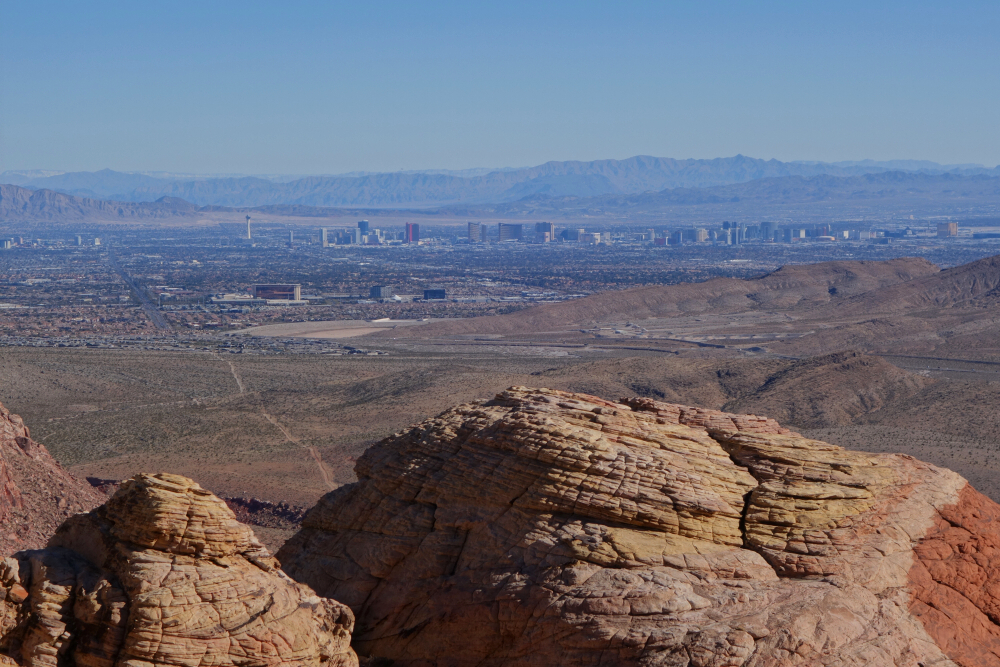
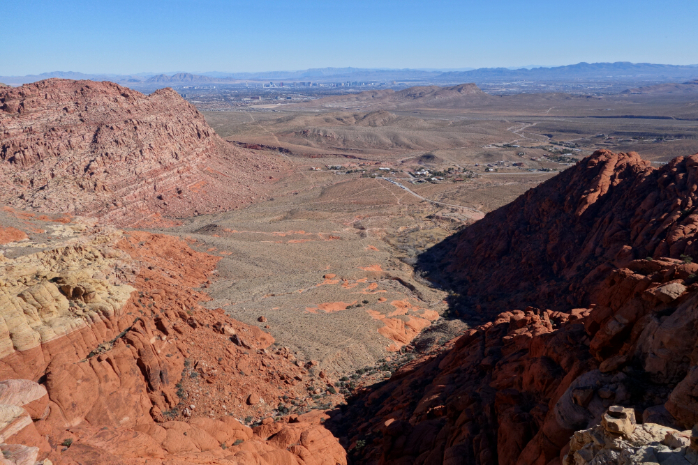
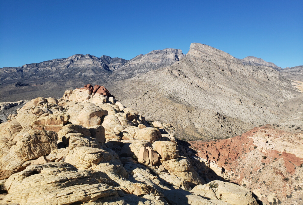
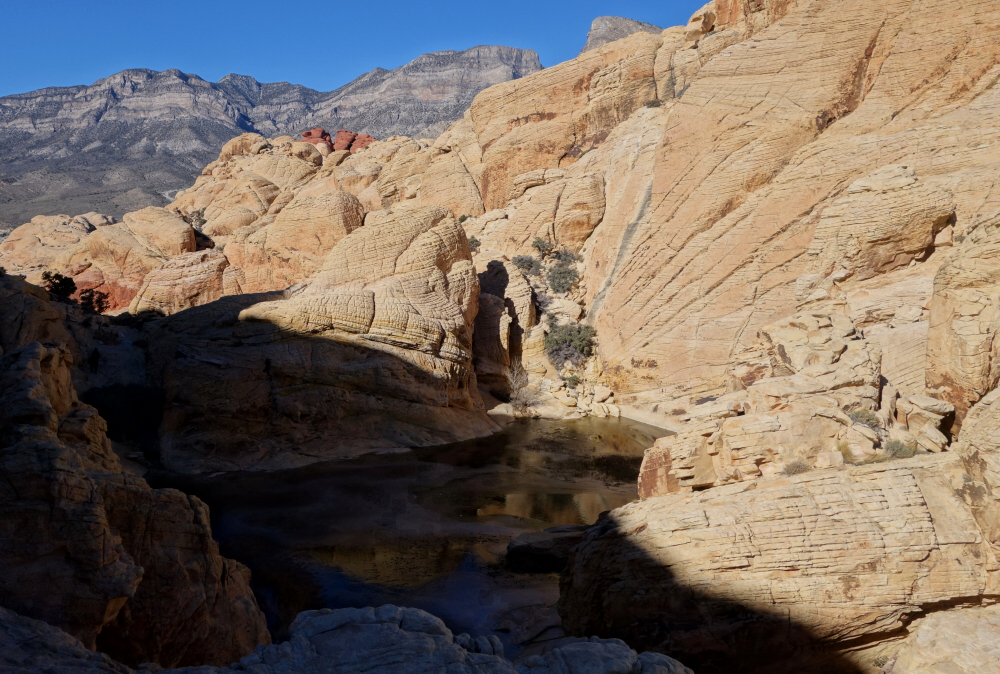
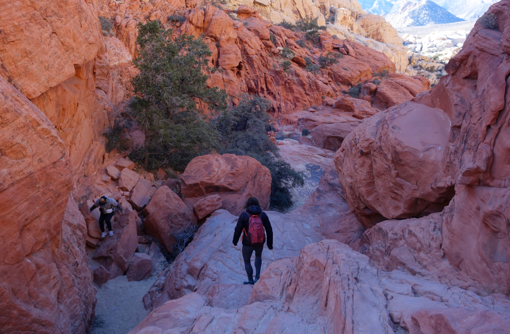
Red Rock Canyon - Turtlehead Mountain, Calico Tank Peak & more, January 2024
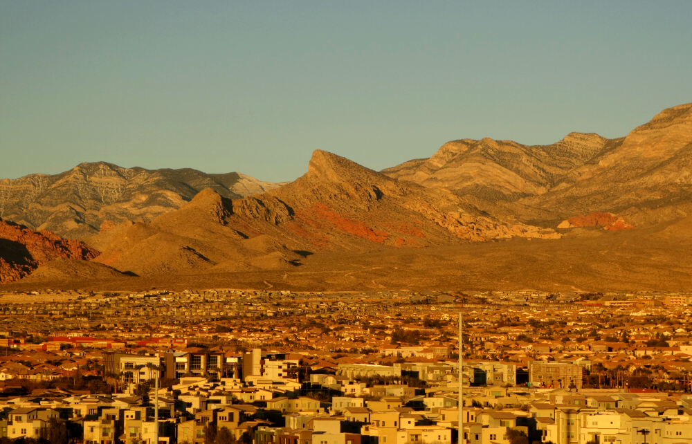
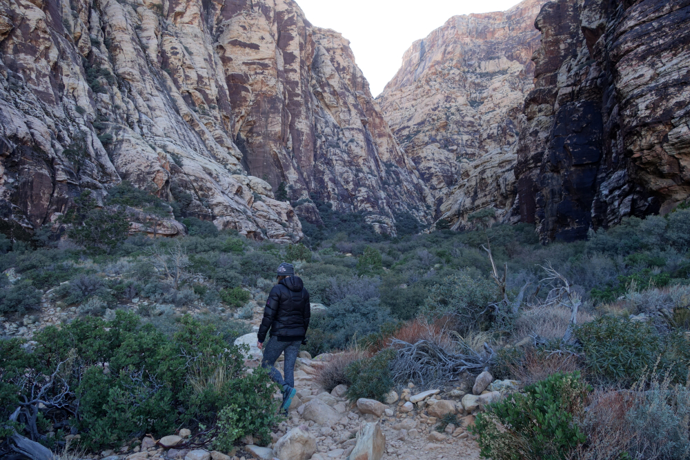
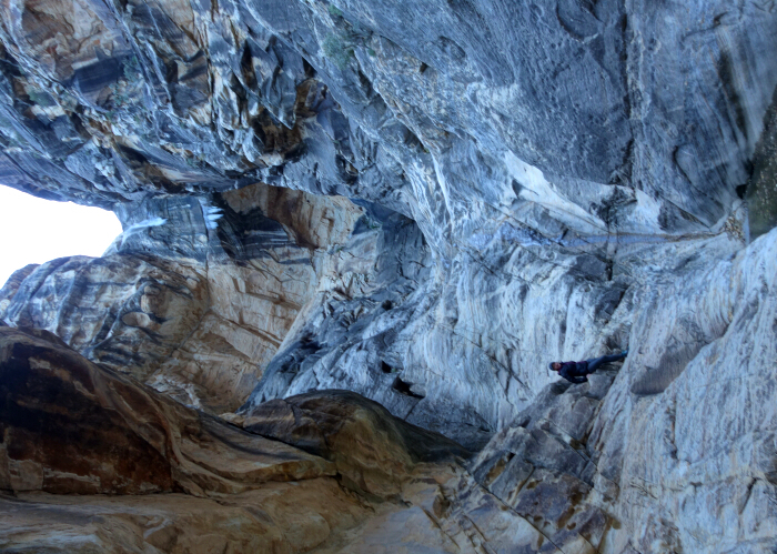
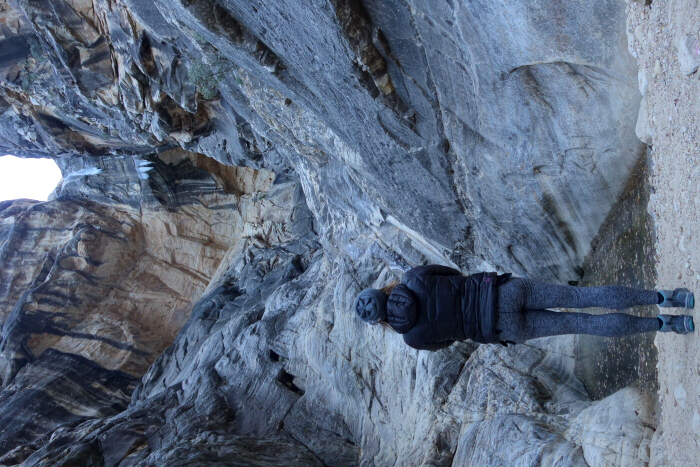
Back to Vegas for our annual dealer conference. As before, we arrived a day early with the intention of hiking a local peak. The year prior we bagged Frenchman Mountain on the east side of the LV Valley. This time we set our sights on Red Rock Canyon to the west, hiking up Turtlehead Mountain and Calico Tank Peak followed by a short hike into Ice Box Canyon to finish up the day.
Left the swanky confines of the Red Rock Resort where we'd be spending the next few days and hopped into a Chevy Bolt EV we rented to get us to and from the RRC. Battery was fully charged when we left but depleted at an alarming rate on the relatively short drive there, no doubt thanks to the temperature being in the 20's! Figures. I'll keep my "polluting" ICE-powered vehicle please and thank you.
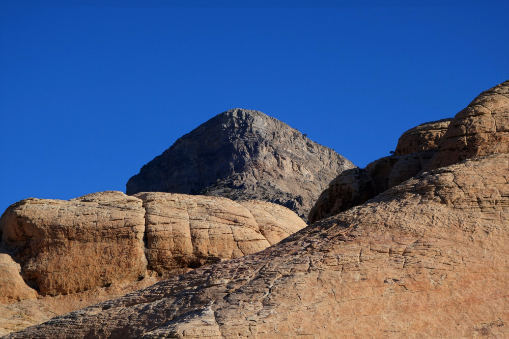
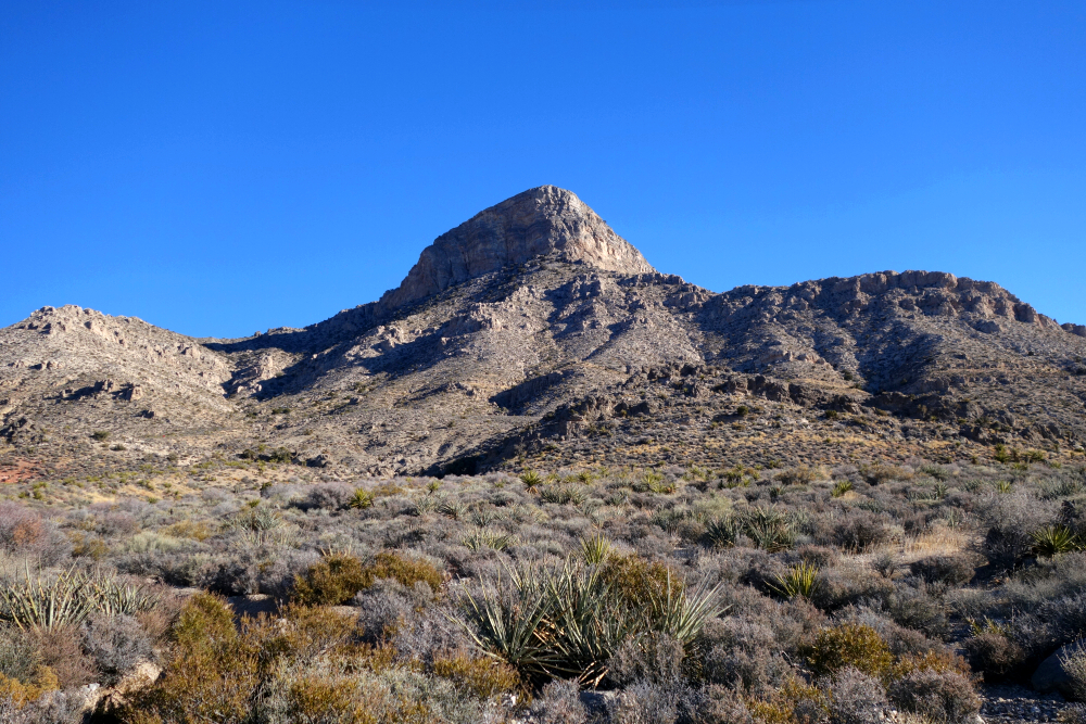
Turtlehead, as seen from our hotel room window, is a prominent horn protruding from the eroded rock formations that dominate the east side of the canyon. From the trailhead, it's a little over 6.5 kilometers round-trip and 2000 feet vertical to reach the top. As easy as all this sounds, I personally struggled with the arctic wind, low energy and achy joints on this day. Little did I know then that I was about to come down with flu! Returning from Turtlehead, we made an impromptu detour along the Calico Tanks Trail to the saddle between Calico Tank Peak and West Calico Tank Peak, myself continuing solo to the top of the former. Took some route finding to avoid technical terrain, but there's a way albeit with some exposure.
Back at the trailhead, we decide there was enough daylight left for one last hike and so off we go for Ice Box Canyon. Just under 2 kms to the end of the canyon, where the pools were all frozen hard and a couple "snotty" ice stalactites hung from the polished headwall at the canyon's head. Damn cold in there, but thankfully no wind! Back to the trailhead and then the resort without running out of juice thankfully, detouring to the nearest Avis to drop off the silly Chevy along the way. Looks like "they're" all done with Vegas for the foreseeable future but stay tuned for San Diego in January 2026!
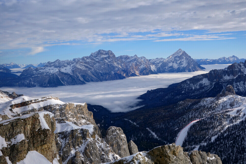
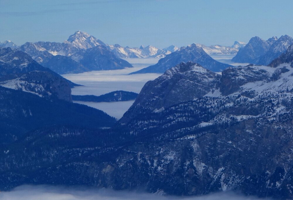
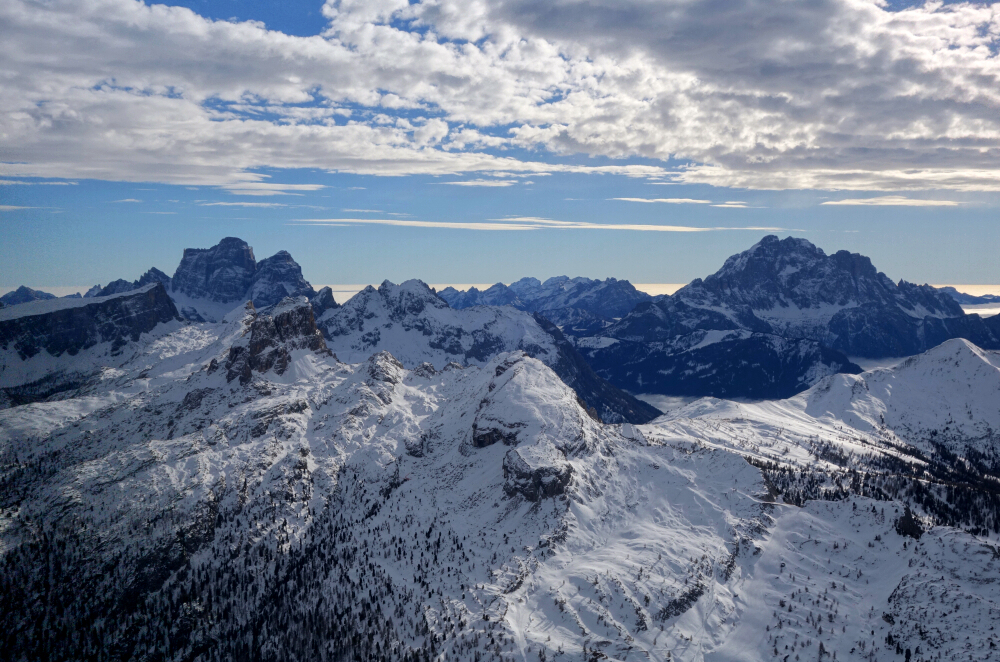
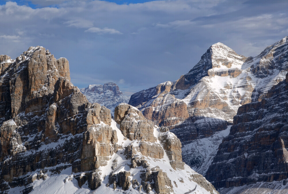
Agata needed me outta the house for more than a couple of days, and I conveniently owed my folks a visit for the holidays, so off across the pond I go this time by myself. Kinda a spur-of-the-moment decision and no hops on the East Coast thank you very much, both of which of course resulted in airfare costing an arm and a leg. Suffered in coach for far too many hours, seats far too tightly spaced and ass far too sore from cushions far too thin. Could air travel possibly suck any more?
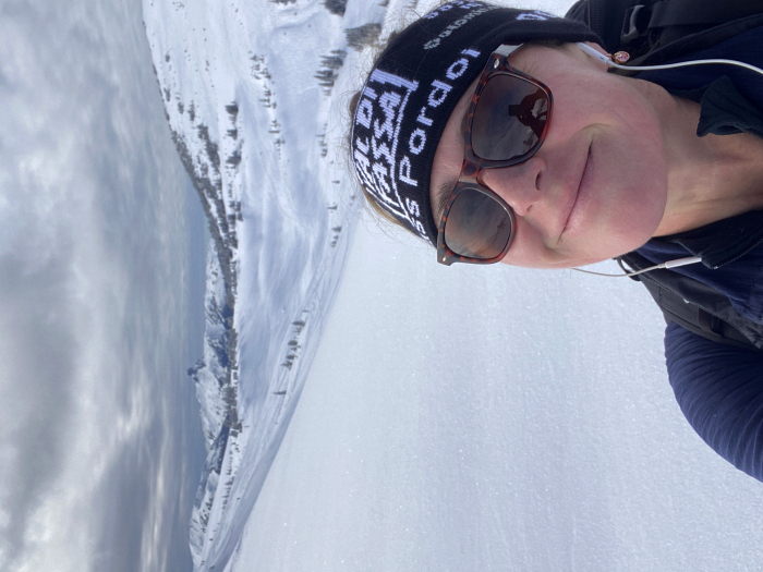
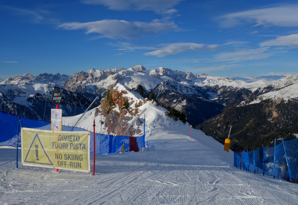
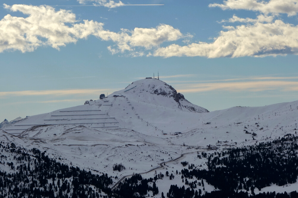
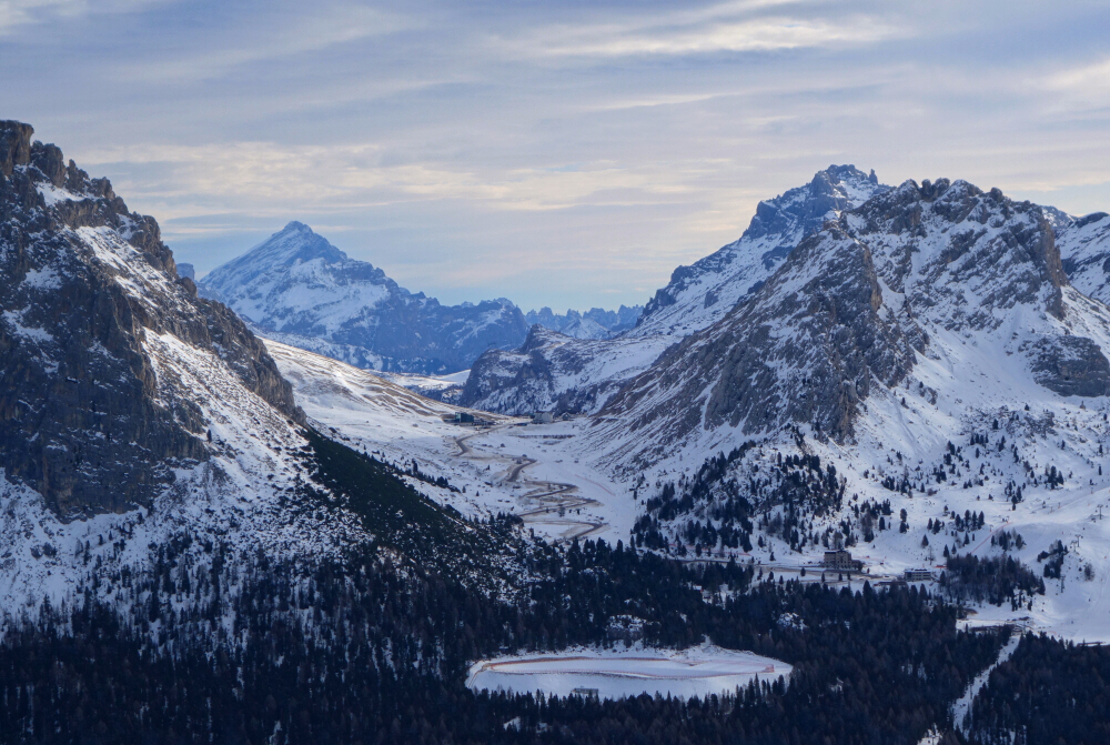
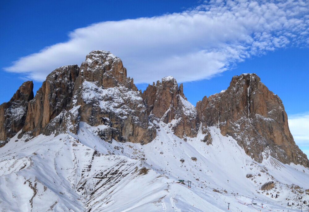
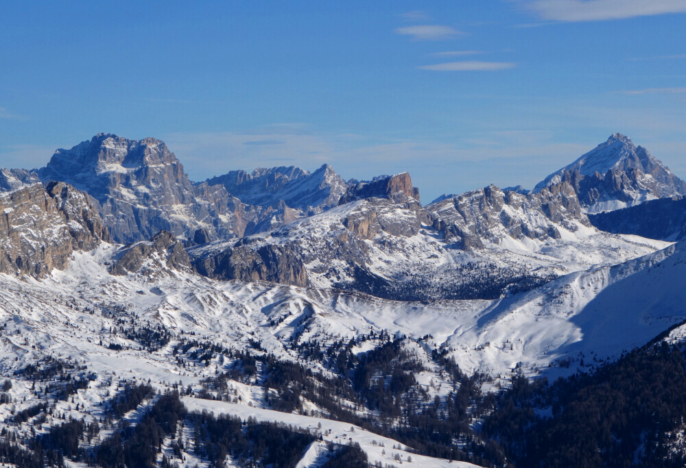
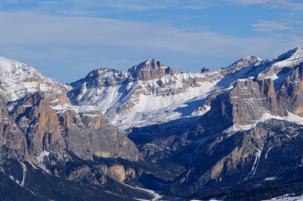
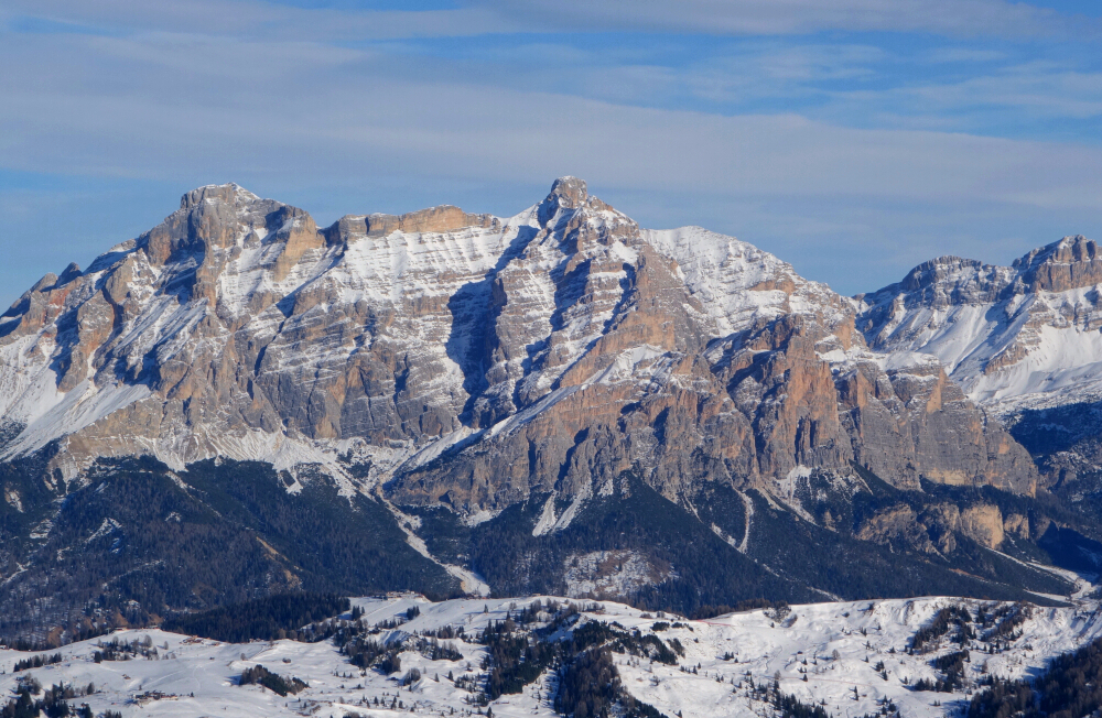
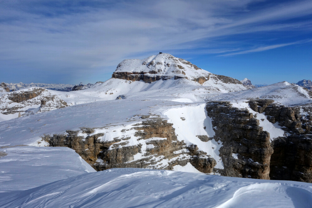
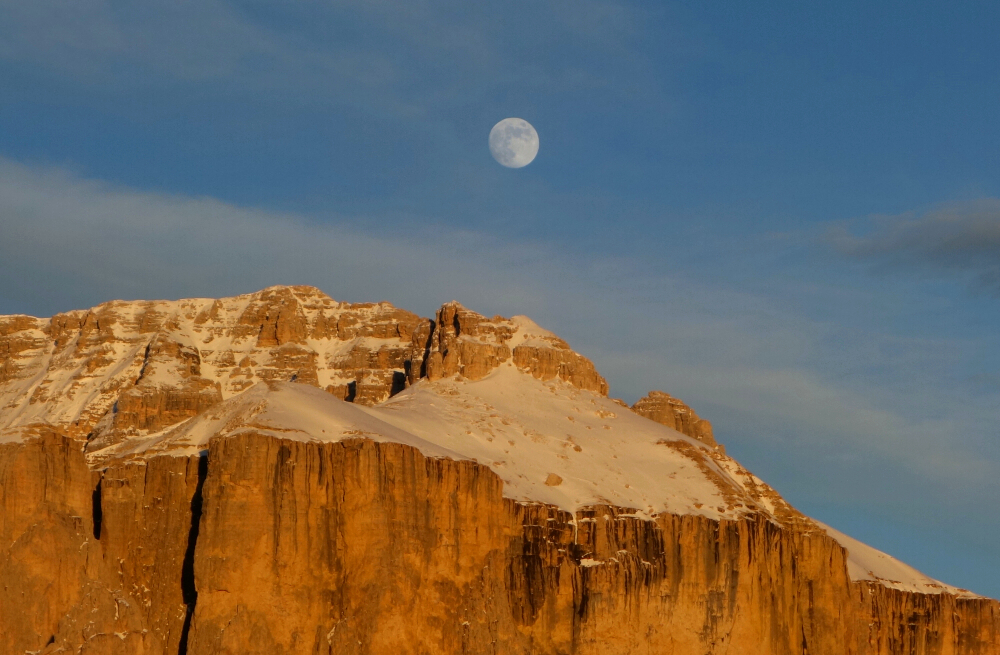
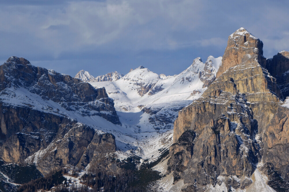
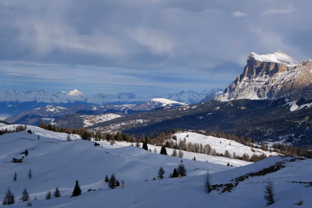
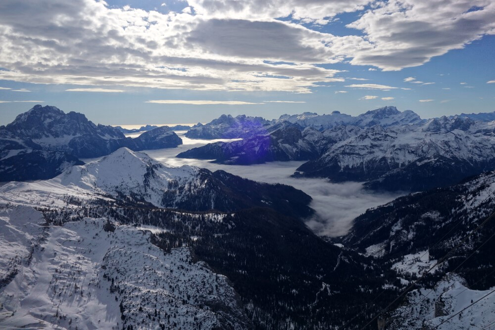
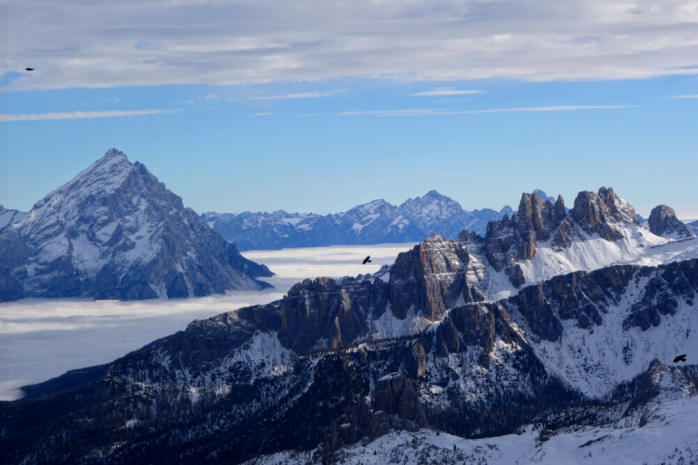
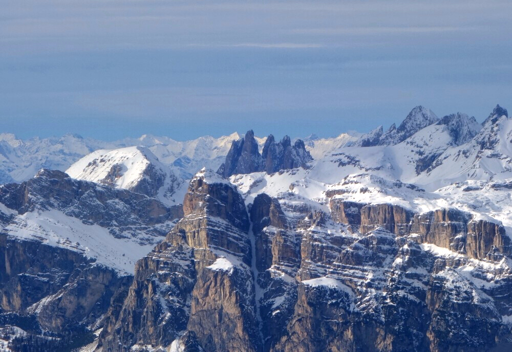
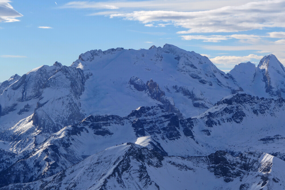
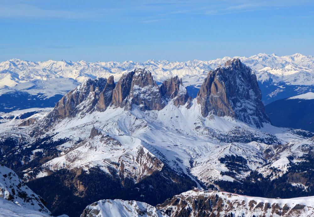
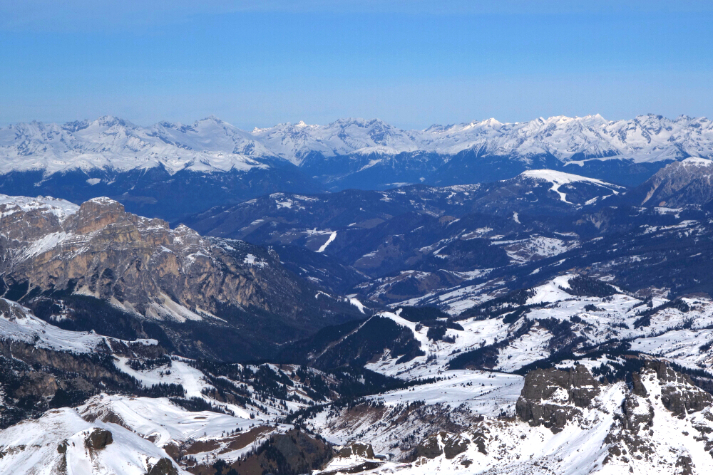
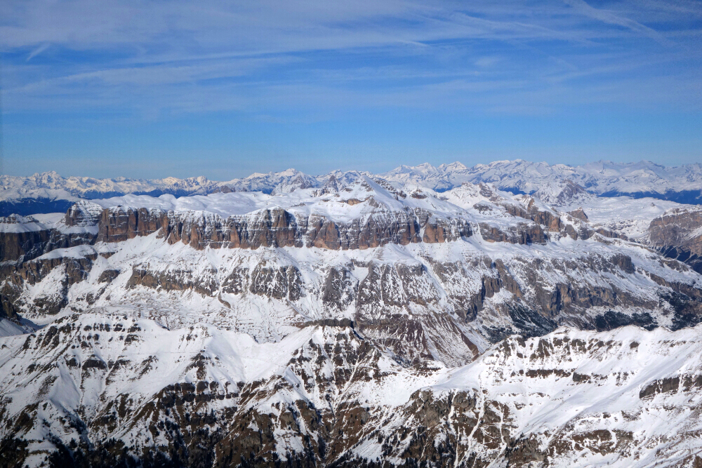
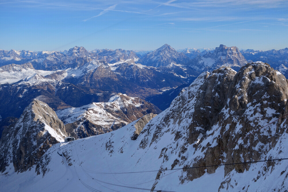
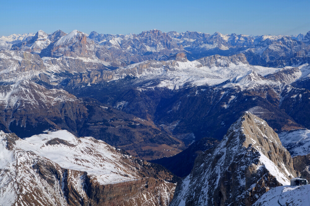
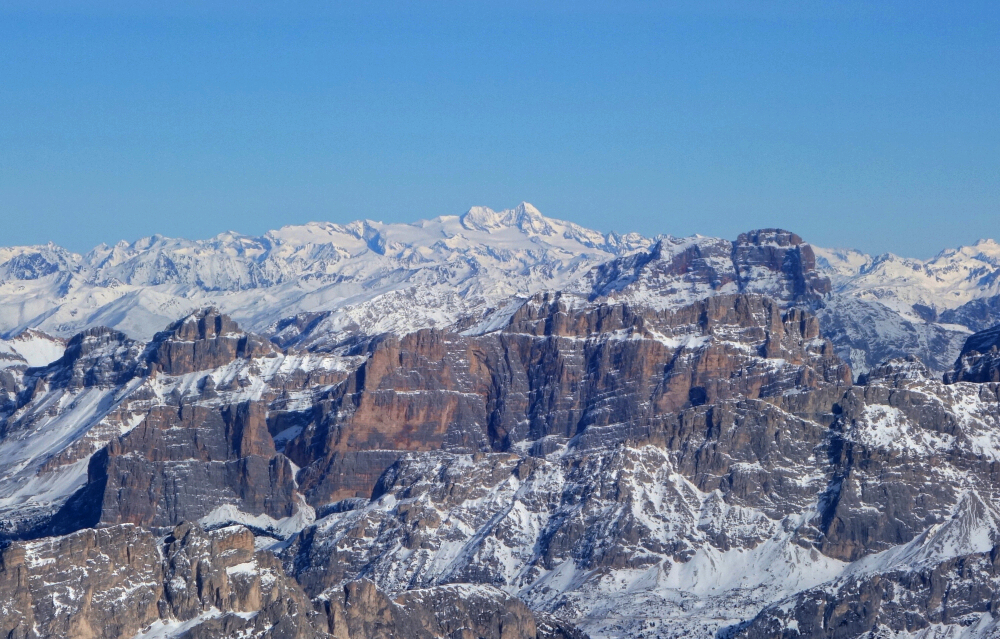
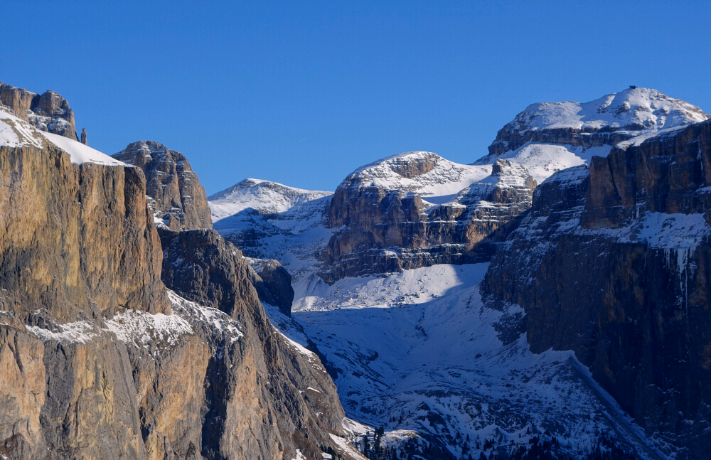
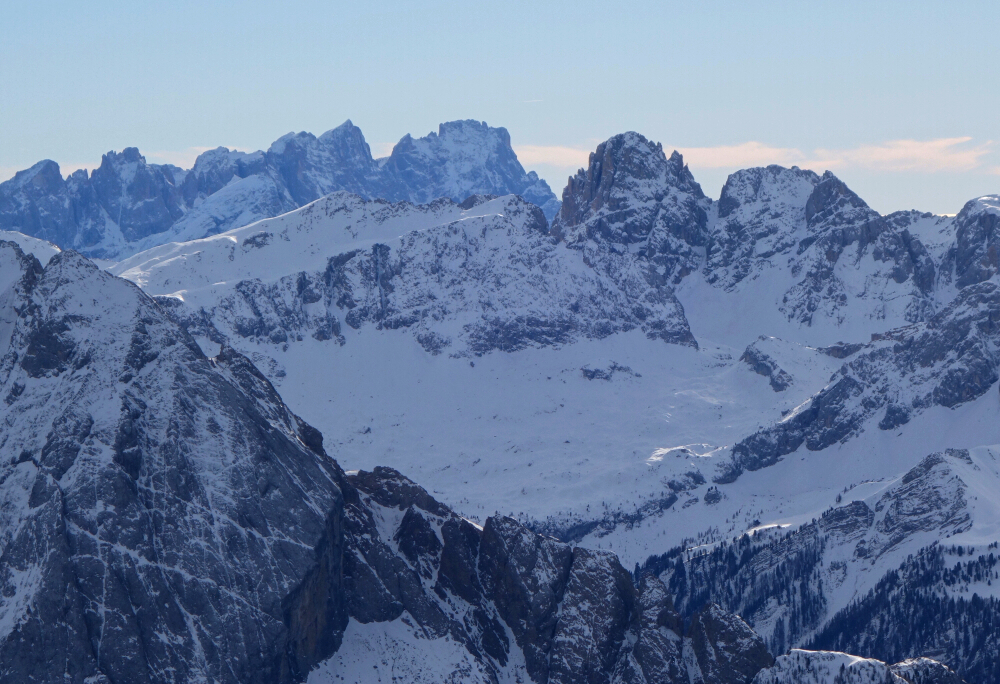
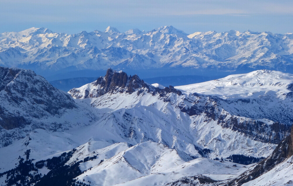
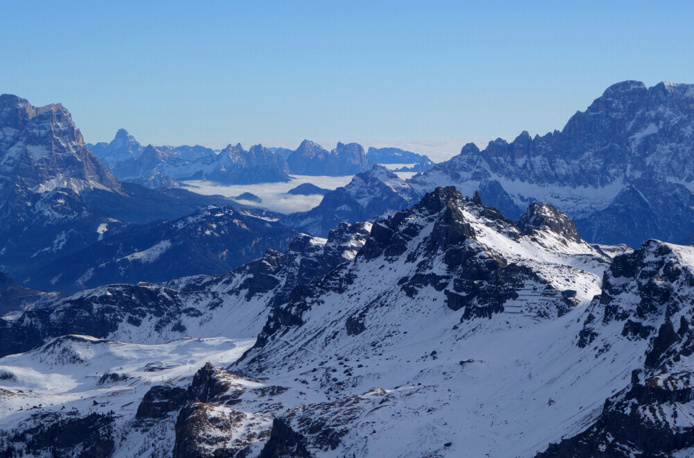
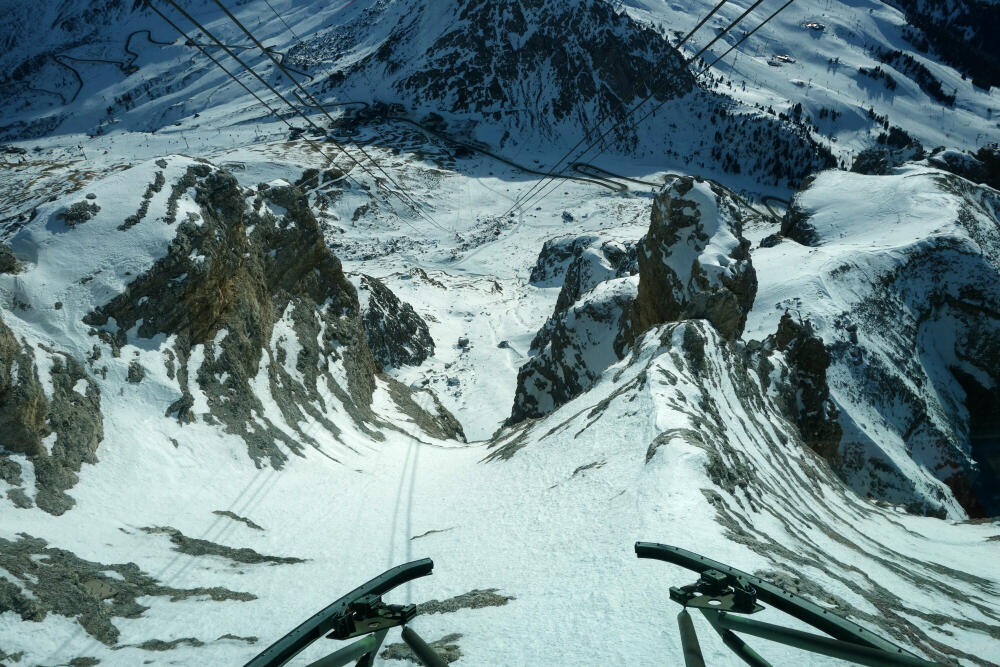
Neither the chicken nor pasta looked any good, but at least I arrived in VCE as scheduled. Hopped into the "taxi" which pops arranged to take me from the airport for the ~2.5-hour ride to my 'home away from home' in the Dolomites. Spent the next week and a half chillin' with mum and dad and of course slaying the hardpack! Coverage was decidedly "low tide" as usual, so no off-piste action lest I risk blowing up my ankle like I did back in 2016. Made the most of it just the same, ranging far and wide over the thousands of kilometers of perfectly groomed trails to choose from.
Pictured descents and scenery from Col Rodella, Passo Pordoi, Sass Pordoi, Marmolada, Porta Vescovo, Pralongia, Passo Falzarego, Lagazuoi, Bec de Roces, Vallon/Piz Boe, Passo Gardena, Dantercepies, Champinoi and more. Blah blah blah...most importantly, it was a privilege to spend quality time with loved ones and be humbled by the sublime grandeur of these amazing mountains!
Winter's End Peak (AKA Verona Peak) - via Klesiikwa Branch FSR, November 2023
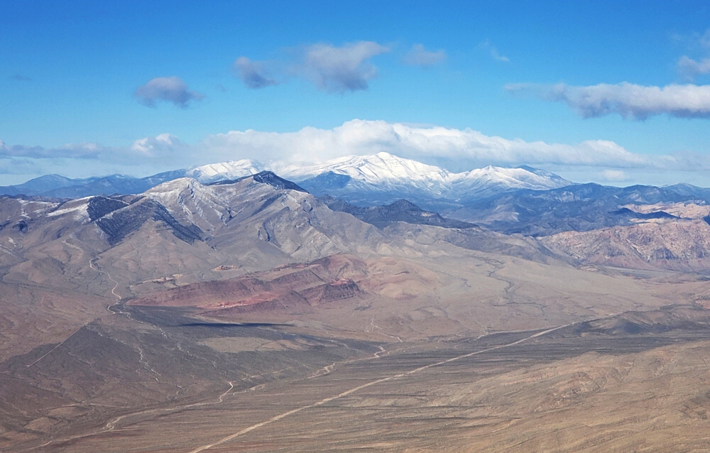
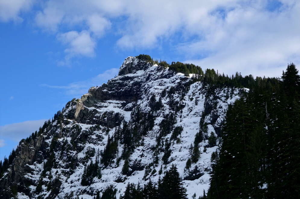
Just west of Coquihalla Pass, Winter's End Peak (AKA Verona Peak) is an unremarkable 5577-foot mountain with a broad summit plateau from which good views of the surrounding area can be had. It makes for a relatively popular Winter objective, being that access is by way of a short forest road, itself served by the paved highway that runs a mere ~3 horizontal kilometers from the peak. Kevin and I found ourselves en route to its summit after abandoning our attempt on nearby Bombtram Mountain earlier that morning. There was insufficient snow coverage down low, for my liking at least, and I quickly lost patience with bushwhacking through a damp and slippery zone of regrowth. Served by the same trailhead, Winter's End is right across the "Box Canyon" side valley from Bombtram and made for a logical plan 'B'.
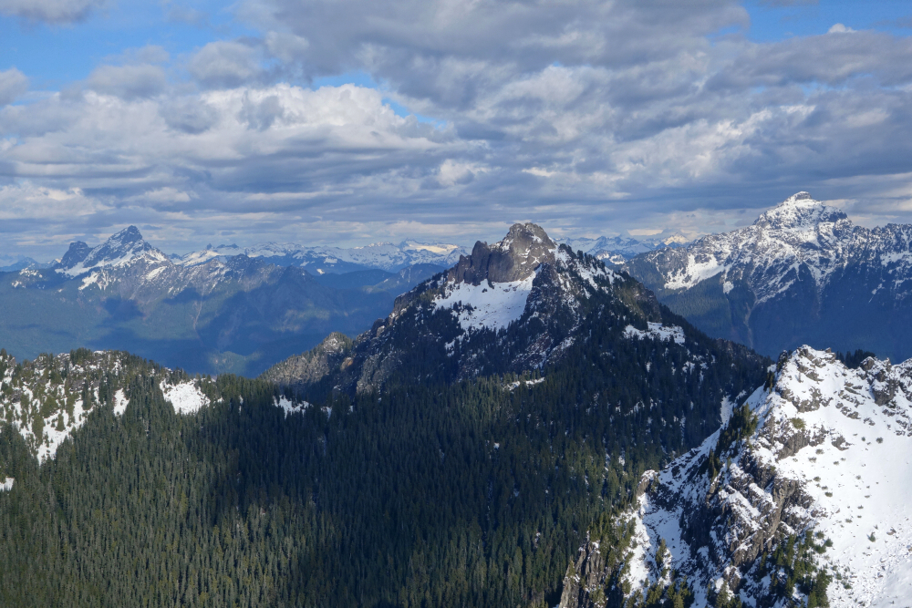
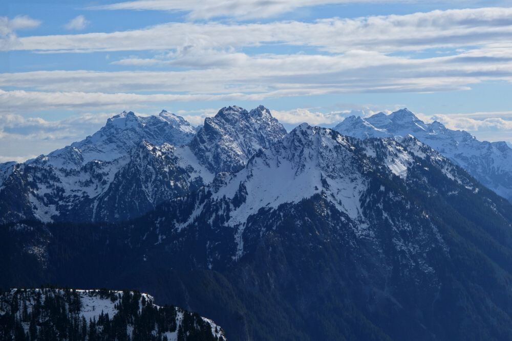
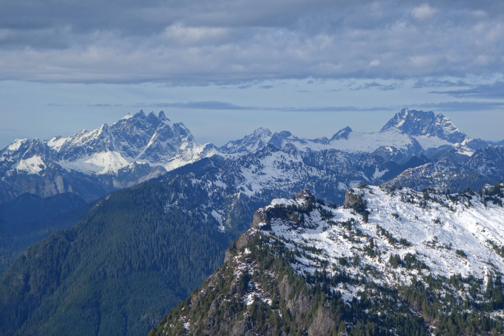
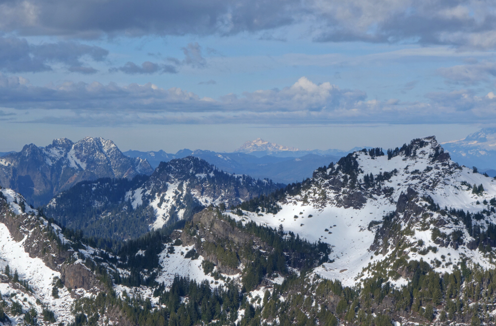
Getting to the peak required 4 kilometers of easy walking on a forest road, over snow starting from the second switchback about 1.2 kms in. Left the road at the final swithchback, entering a cutblock for a bit before diving into forest for the remainder of the hike up to a saddle. Strapped on snowshoes in the forest section as the postholing was getting tedious. Followed a wide ridge up from the saddle to reach the summit plateau only 3 hours after starting that morning. Wandered around up top with many of the usual Coquihalla area suspects visible from there - Anderson River and Alpaca groups to the north with Vicuna and Guanaco peeking from behind, Yak and the Markhor-Needle Group to the east, and finally that pesky Bombtram to the south. Not too bad for an otherwise "meh" objective. Will be back for plan 'A' after the snow starts flying in earnest!
Dickerman Mountain - Dickerman Mountain Trail, November 2023
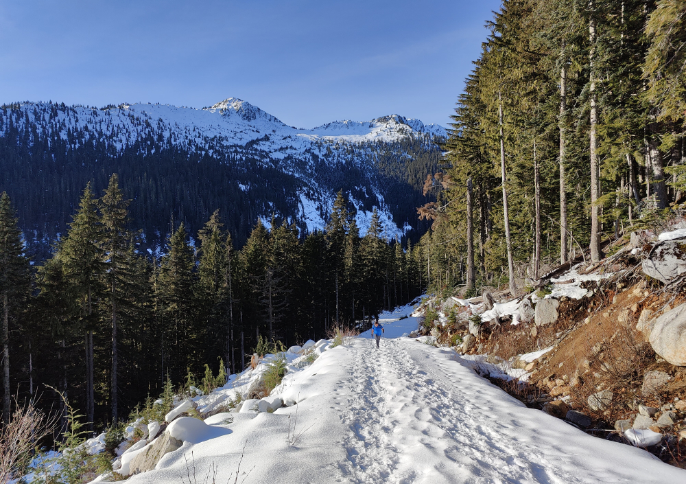
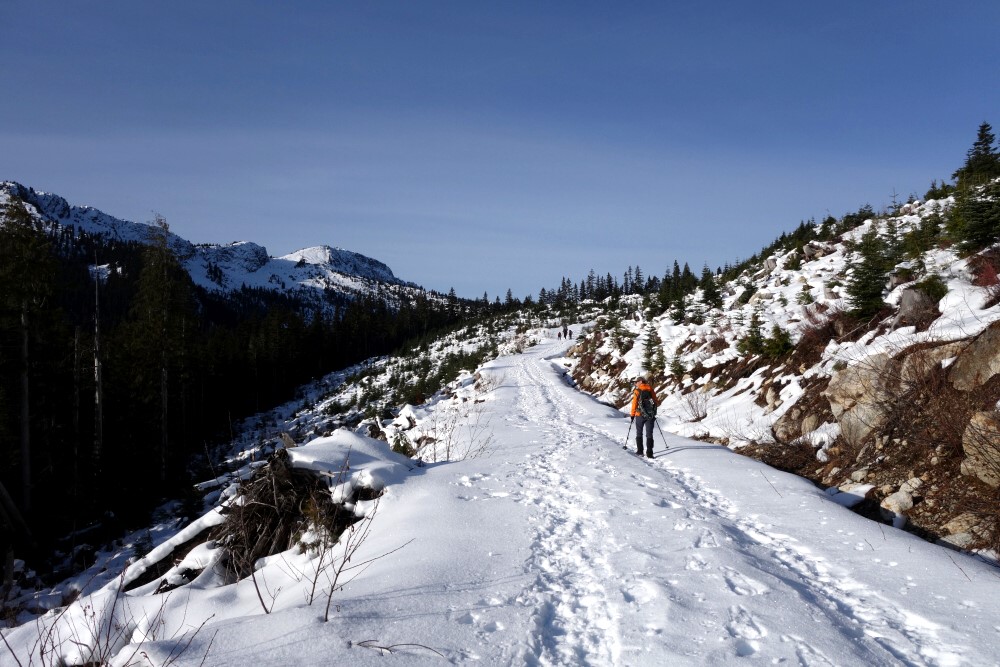
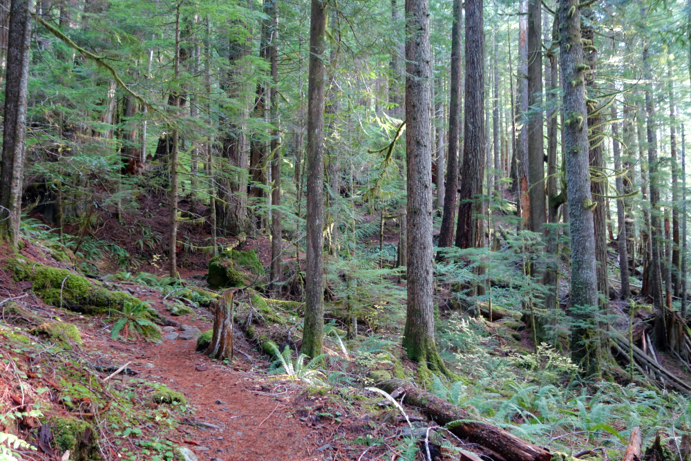
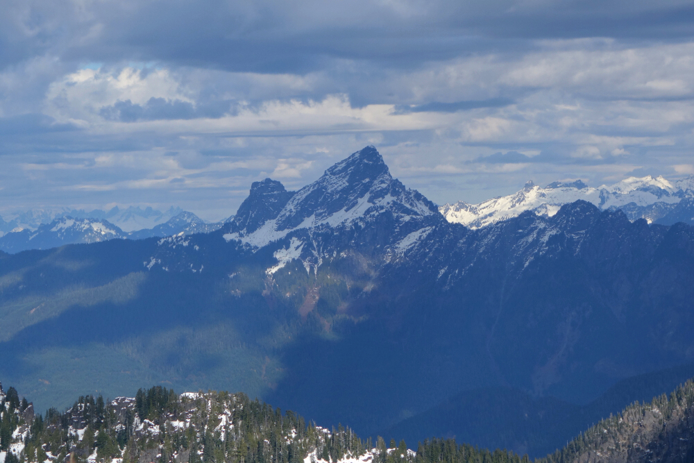
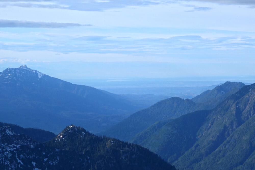
Standing directly across the valley from Big Four Mountain, Dickerman Mountain is a popular near year-round hiking objective with outstanding views of peaks, valleys and glaciers both near and far. Situated in the Mountain Loop area of the North Cascades a mere stone's throw away from Barlow Pass, the ~5km and 3,871 ft ascent makes for a relatively easy yet high reward outing. A well-maintained trail leads up into the alpine whereupon one's efforts are rewarded with an unobstructed 360-degree panorama that is among the best I have seen of the Mountain Loop! Having hiked many of the taller peaks in the neighborhood, I found this a bit surprising, but then again, a closer look at a topographic map would suggest as much - the peak lies at the southernmost point contained within the U-shaped route followed by the scenic byway known as the Mountain Loop Highway (MLH). Deep river valleys to the west, south, and east contribute to Dickerman's "island in the sky" vibe, which is almost always synonymous with awesome views.
With that in mind and capitalizing on what would be one of the final fair-weather days of autumn, I set out for the town of Granite Falls at the southern entry point of the MLH. Some black ice on the road required careful driving, but I reached the trailhead without incident and started up the Dickerman Mountain Trail in short order. The trail angles up the west slope for a bit before commencing a series of switchbacks, soon reaching snowline and open slopes shortly thereafter. The trail flirts with the peak's SW Ridge for a moment, offering a brief glimpse of the summit before diving back into the trees for a final push to the upper south slope and summit just beyond. As promised, the view did not disappoint - Big Four, Vesper, Sperry and Del Campo to the south, Silver Tip, Columbia, Monte Cristo and friends to the southeast, Sloan standing proud to the east, Pugh, Forgotten and White Chuck to the NE, and finally Three Fingers and Whitehorse towering to the NW...the majesty of all things Mountain Loop!
Bumped into Carla S. and company on the summit and spent the next while catching up on life south of the 49th, briefing each other on our mutual Seattle-area hiking acquaintances past and present. Finally, having had our fill of the views, we began the descent together, conversation helping the miles and vertical go by almost unnoticed. Back to the trailhead where we bid our adieus, making my way back down the byway satisfied with another fine dayhike in my ol' stomping grounds!
It would be very much appreciated if you please ask before copying and/or re-publishing content from any part of these pages. To do so, please click here to send a message via feedback form.


