


Arizona Peakbagging - South and Central, April/May 2024

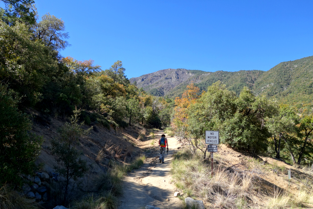
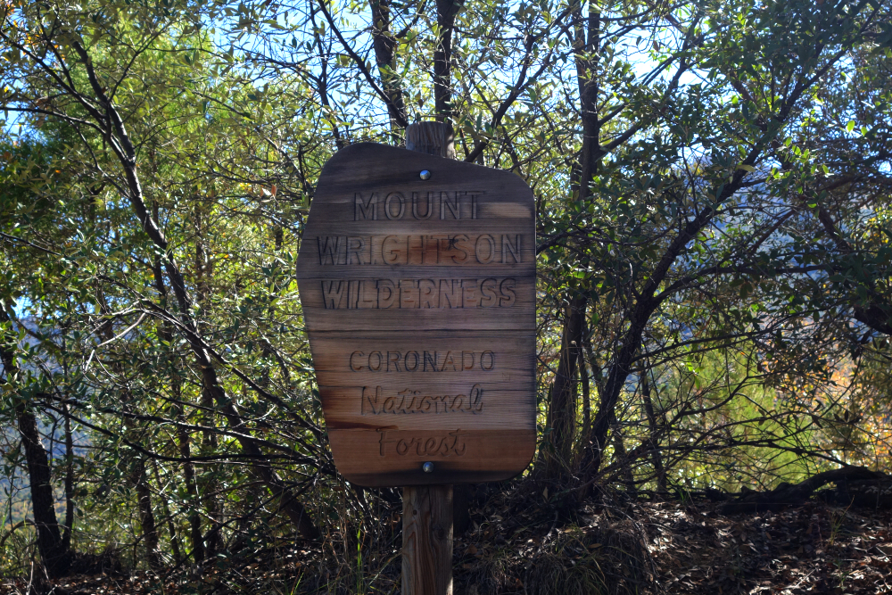
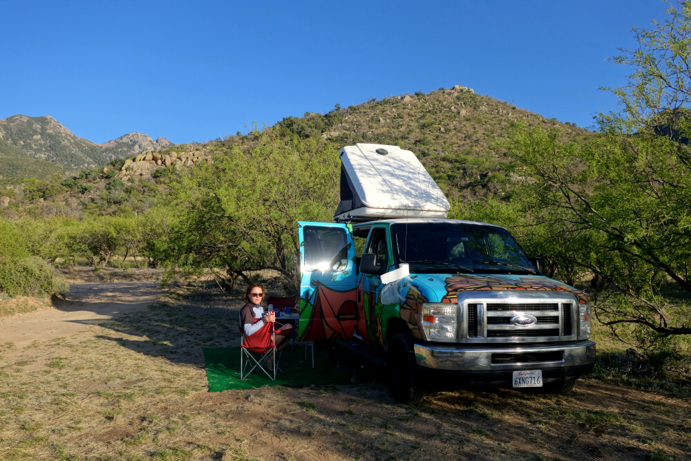
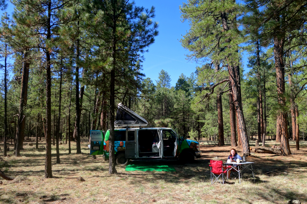
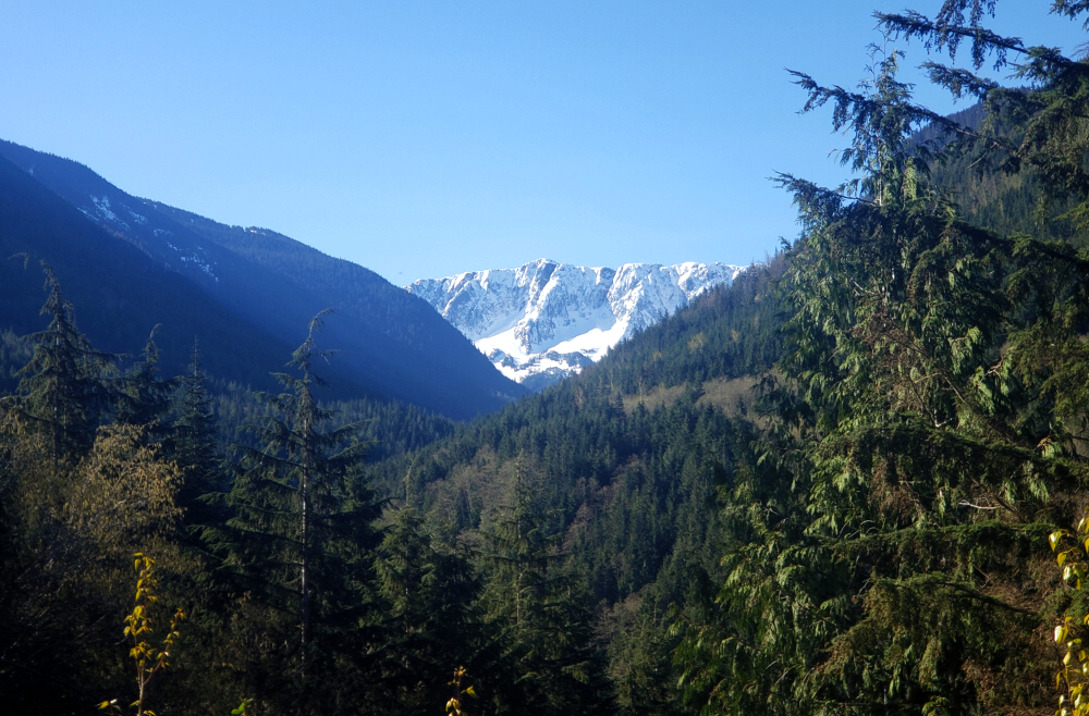
Left the soggy Pacific Northwest behind for warm and sunny Arizona. With a mobile basecamp courtesy of Escape Campervans, we spent a couple weeks touring about the southern and central portions of the state, bagging peaks, national and state parks, and generally soaking-in an early dose of Summer! On the agenda was a mix of easy hikes, walks and sightseeing, culminating with the state highpoint, Mount Humphreys. Being late April, we hoped to, and mostly succeeded in avoiding the worst of the notorious heat that usually arrives by May. Along the way, we encountered temperatures mostly in the 70's and 80's, some 90's and surprisingly some patchy snow up high on Wrightson Peak, not to mention a still mostly snowbound Mount Humphreys.
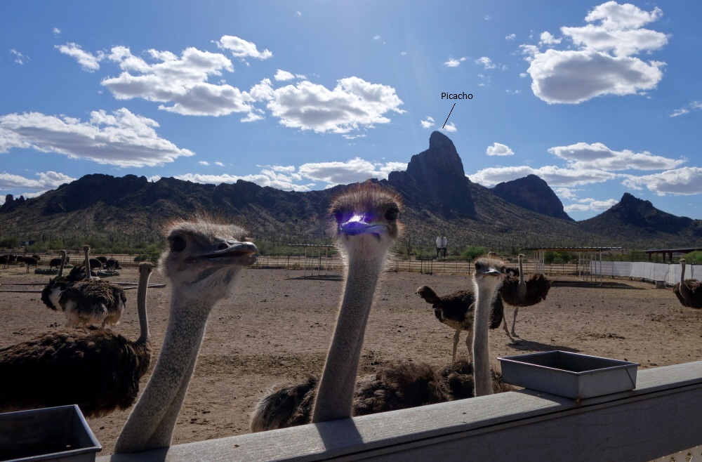
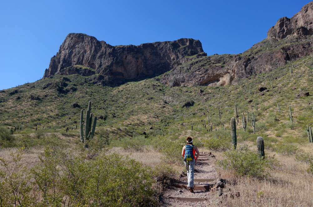
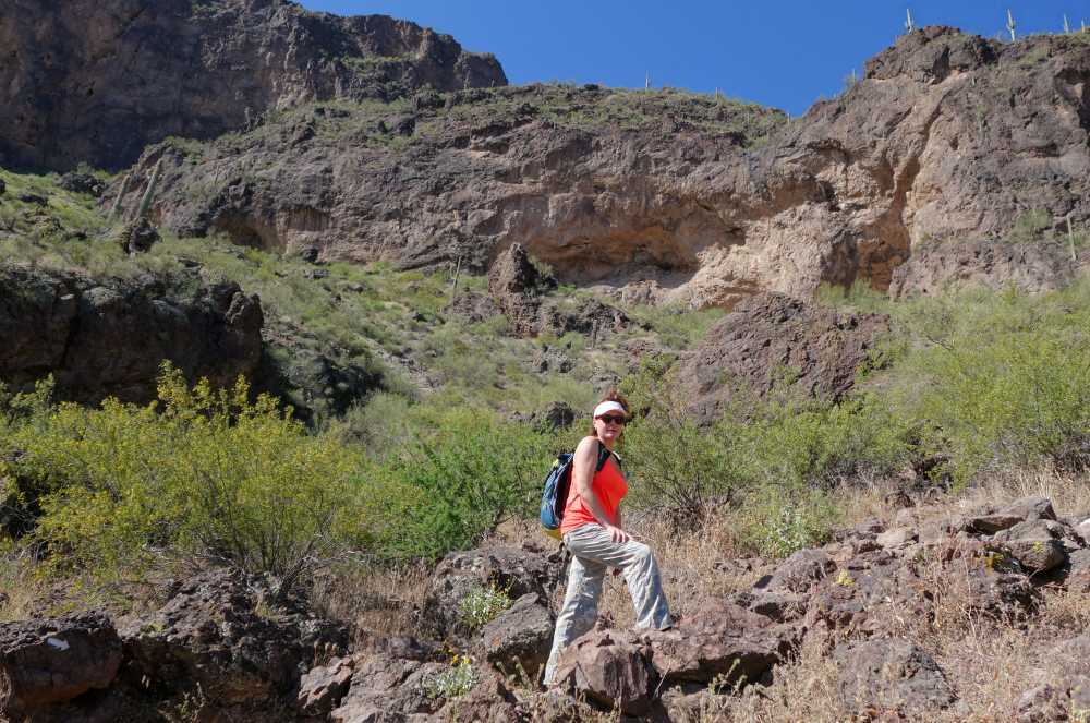
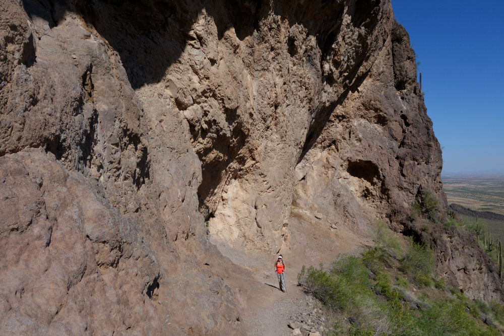
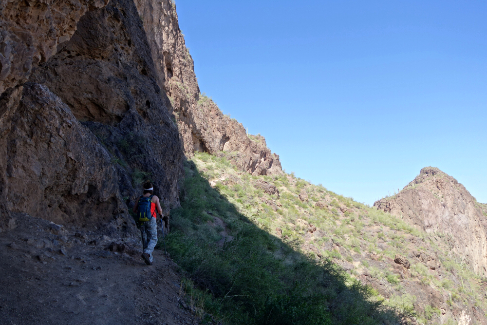
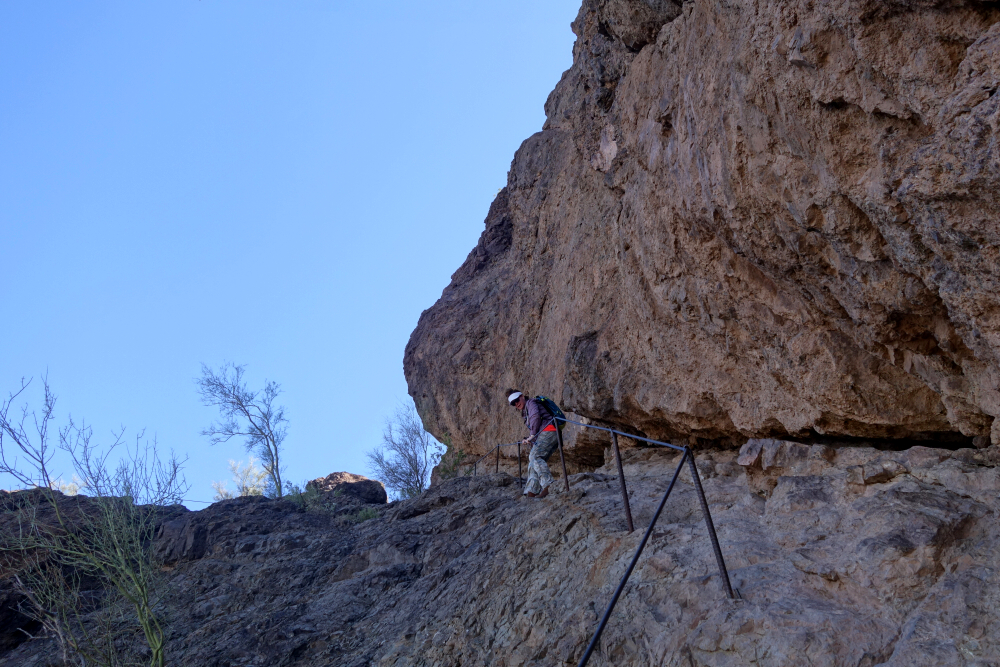
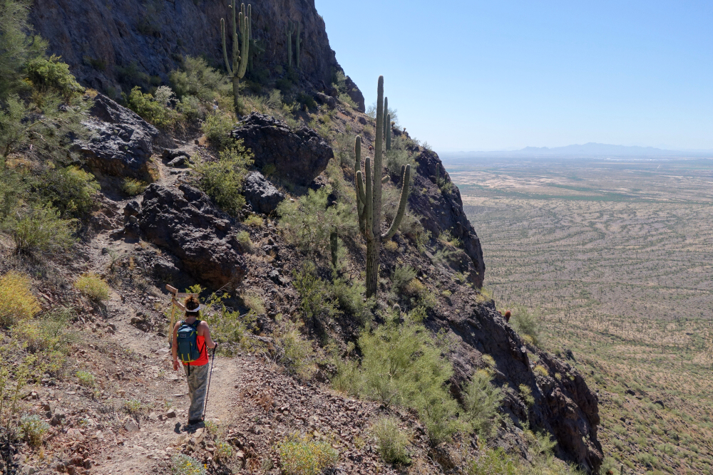
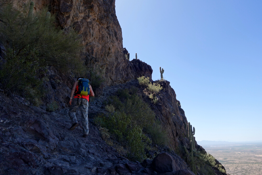
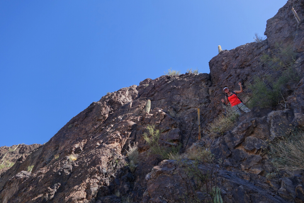
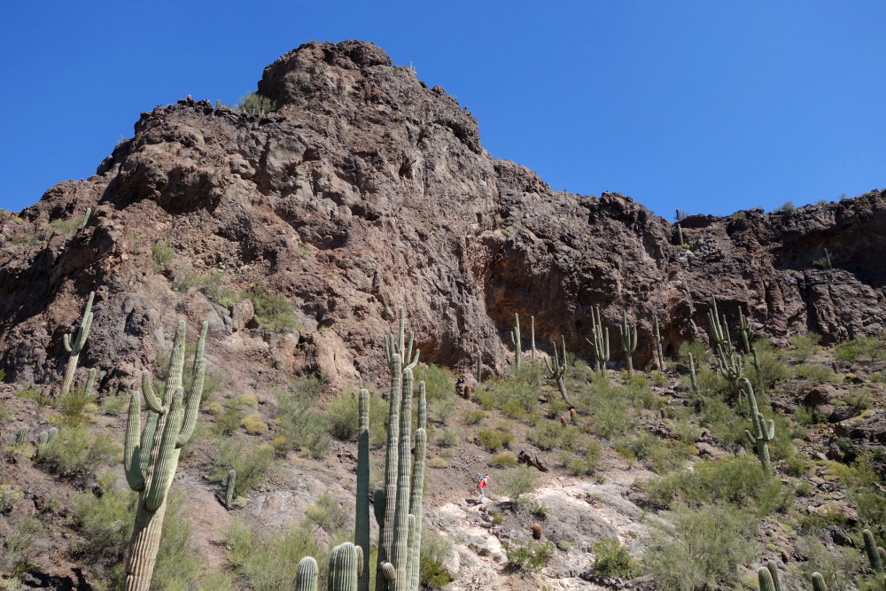
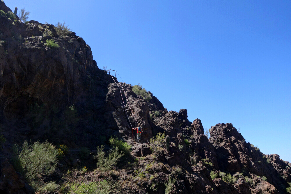
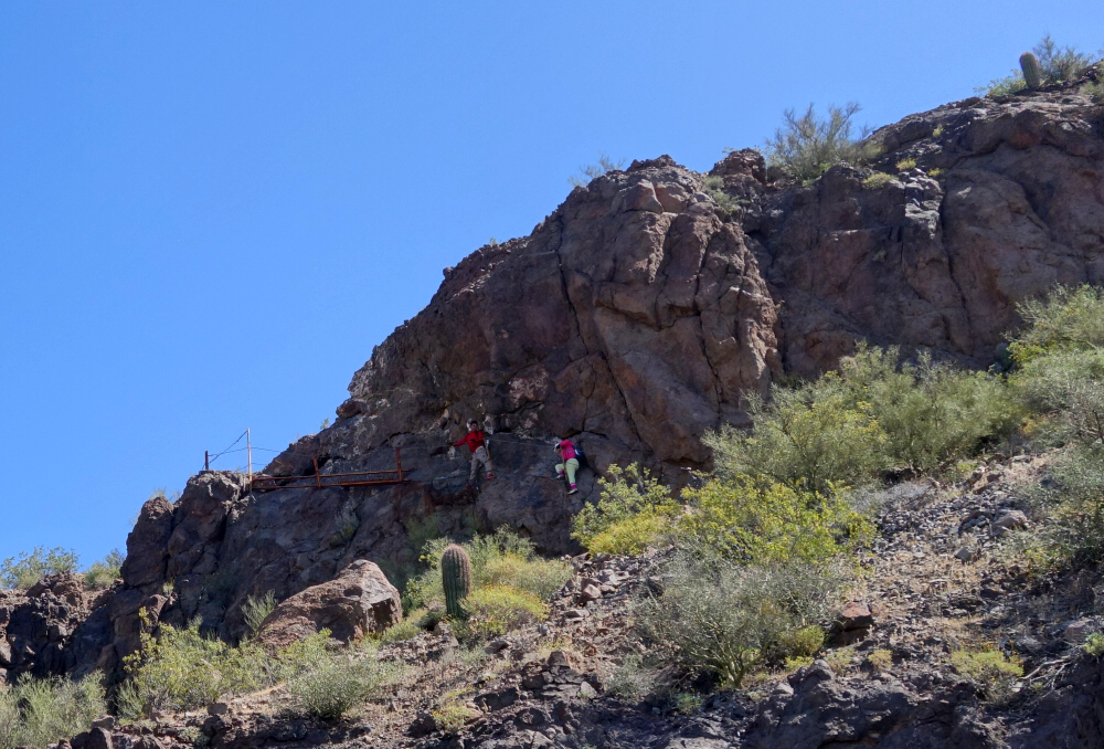
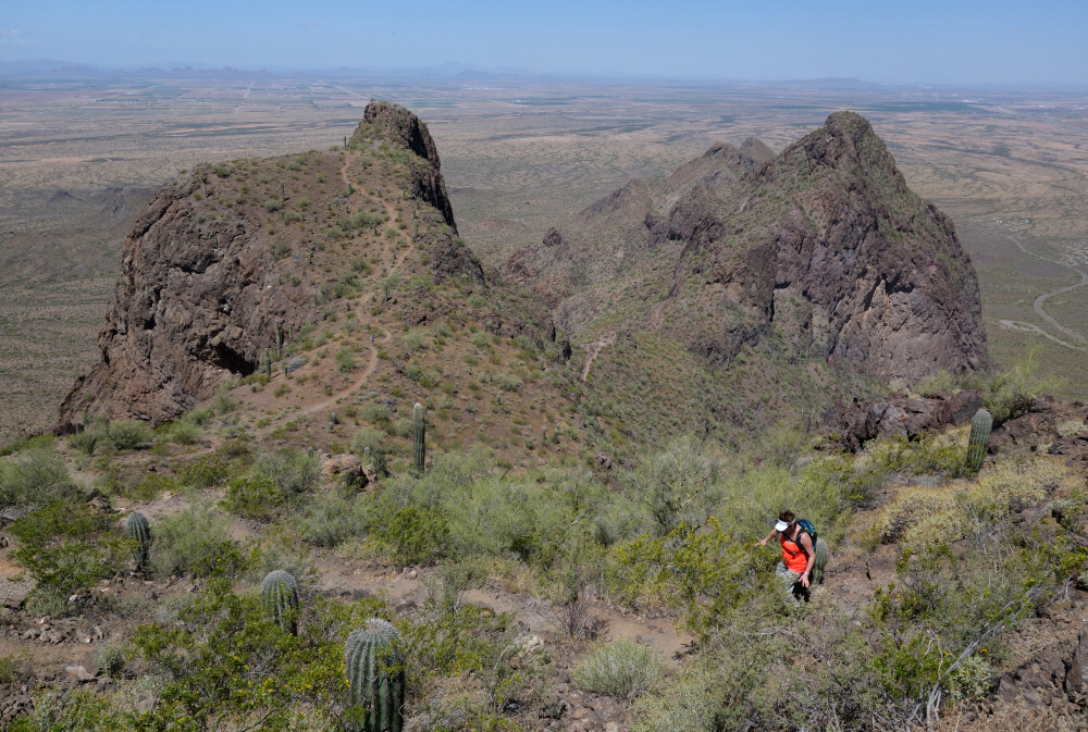
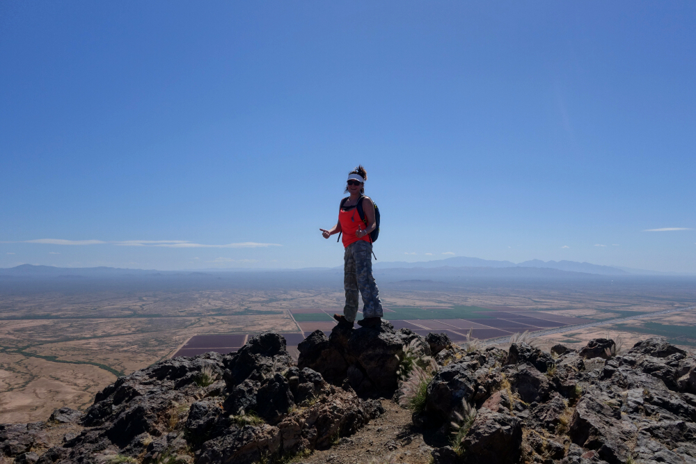
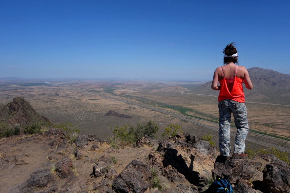
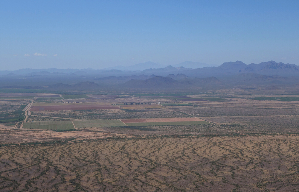
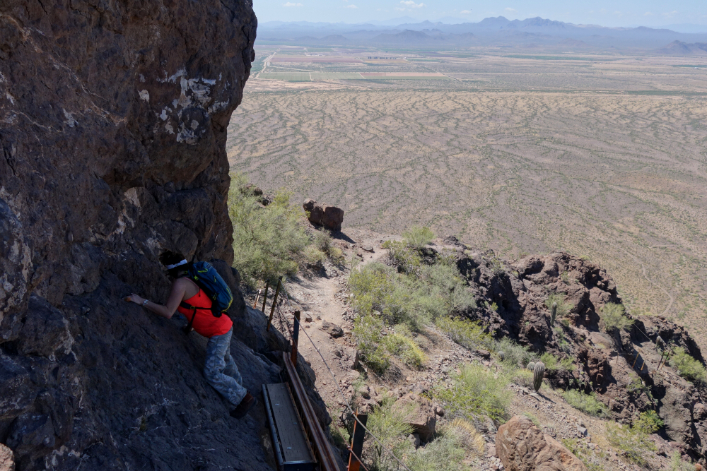
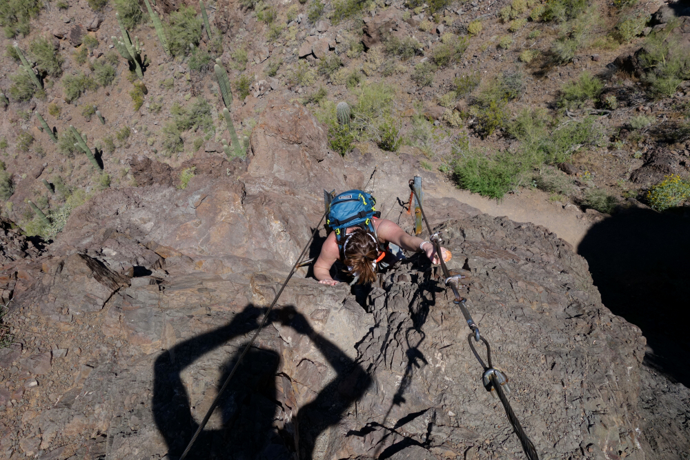
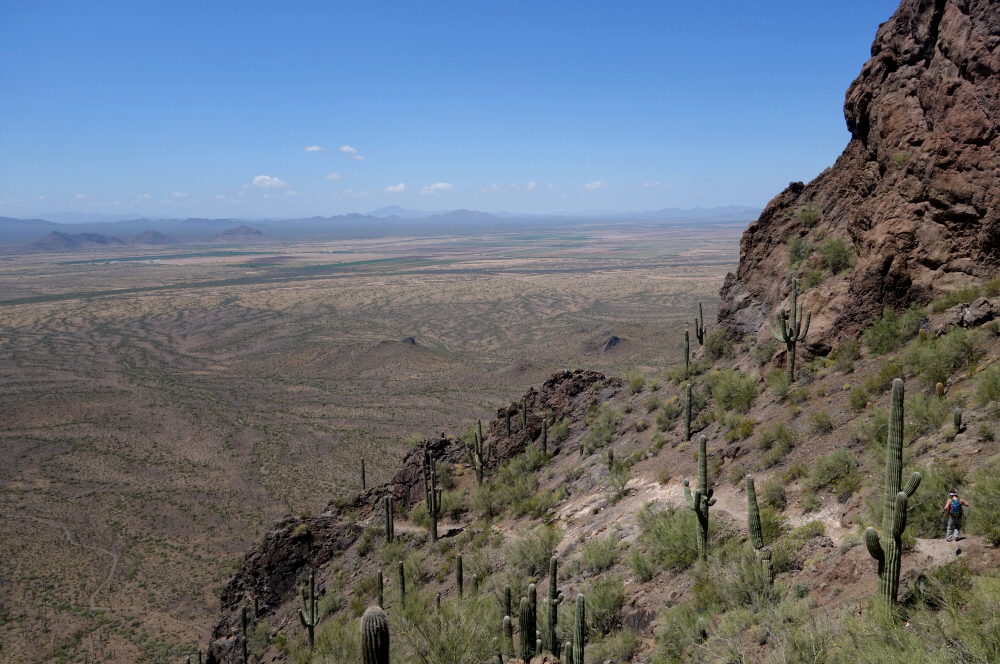
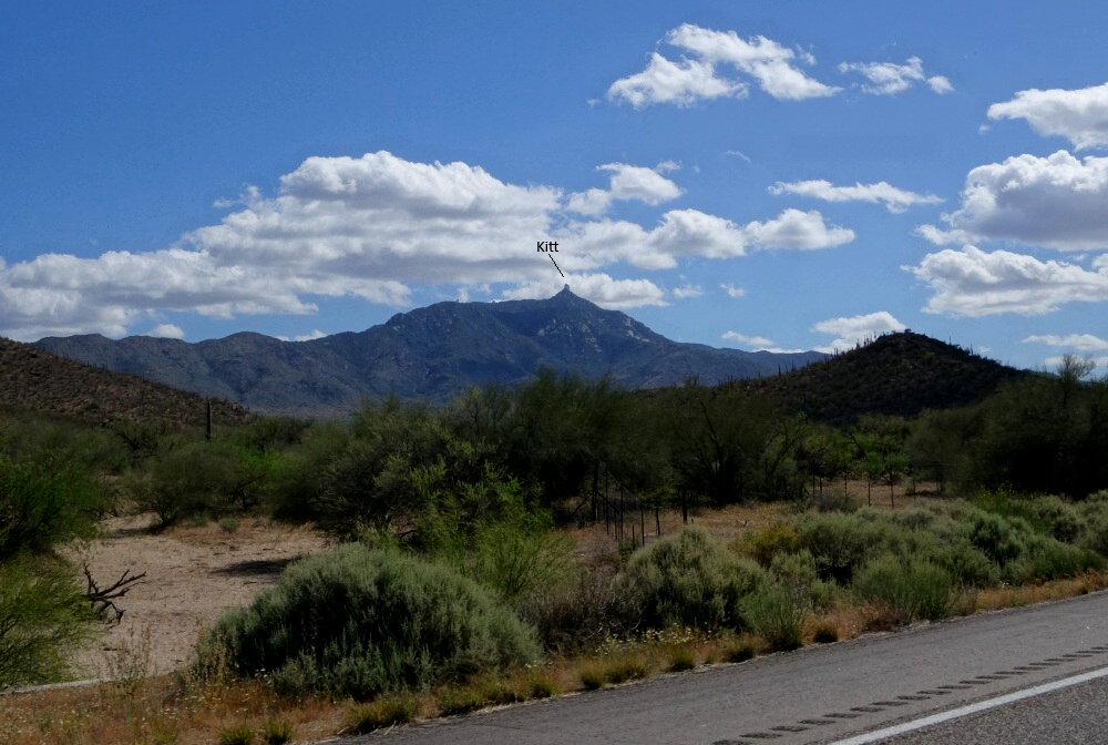
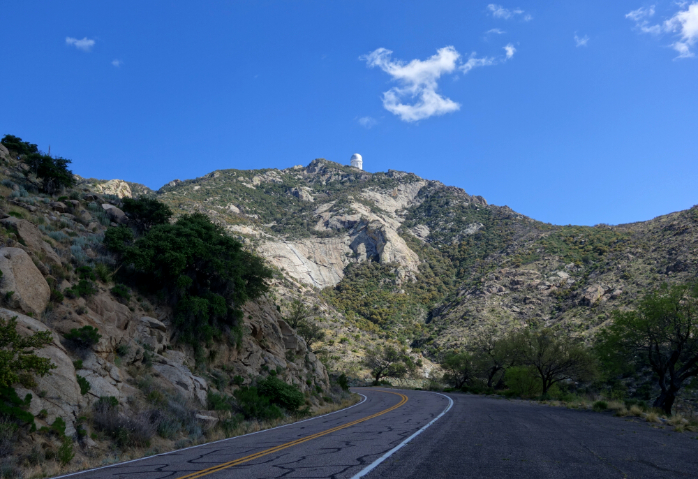
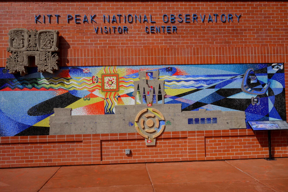
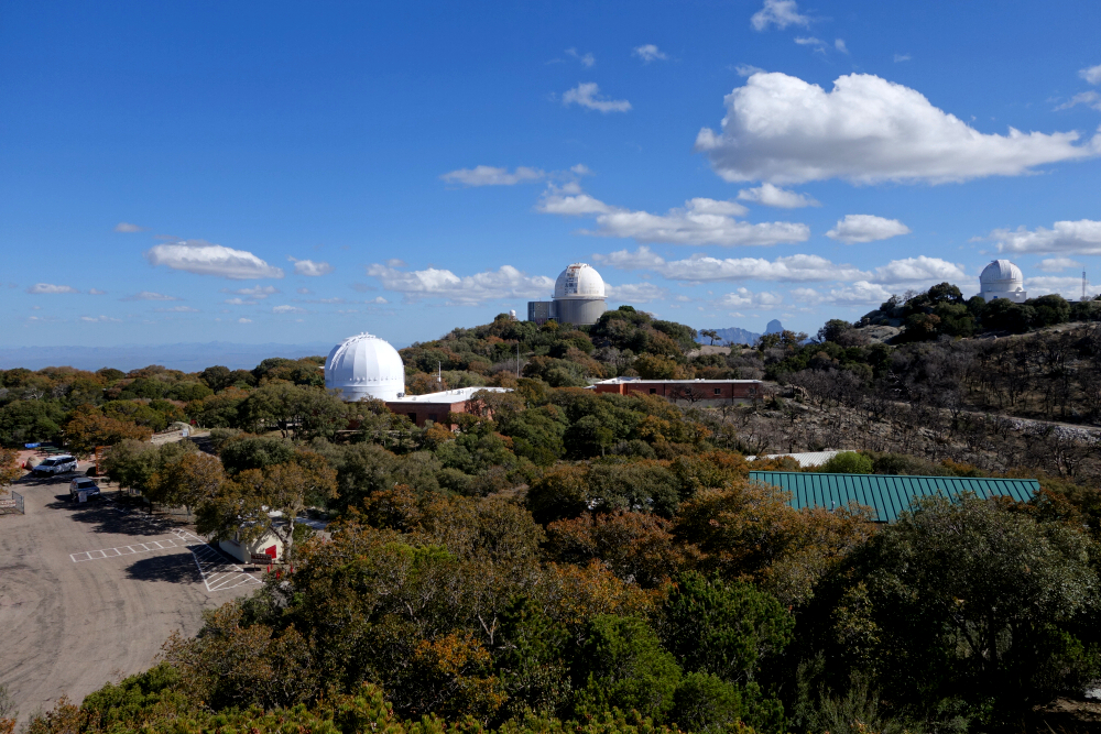
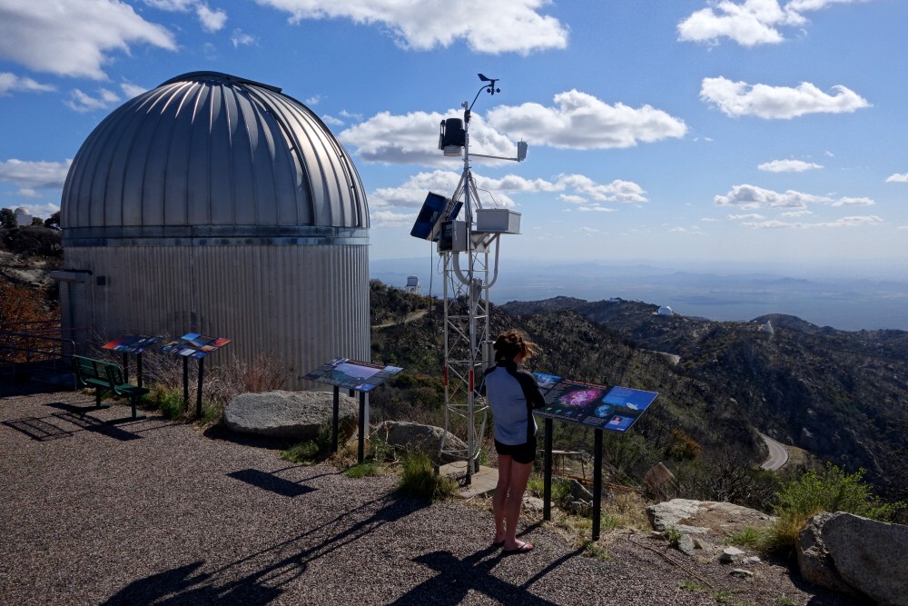
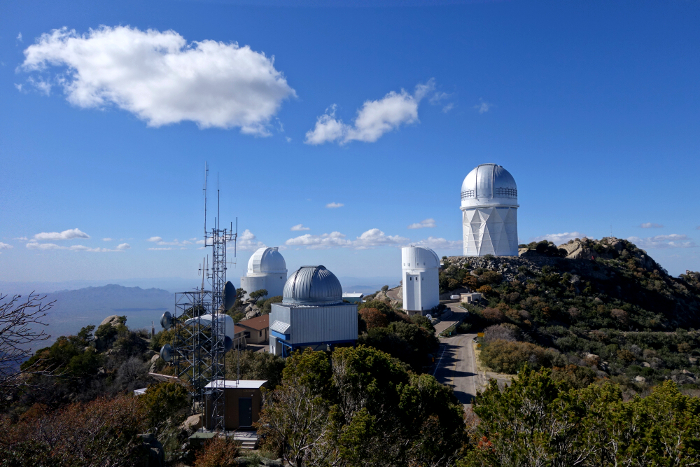
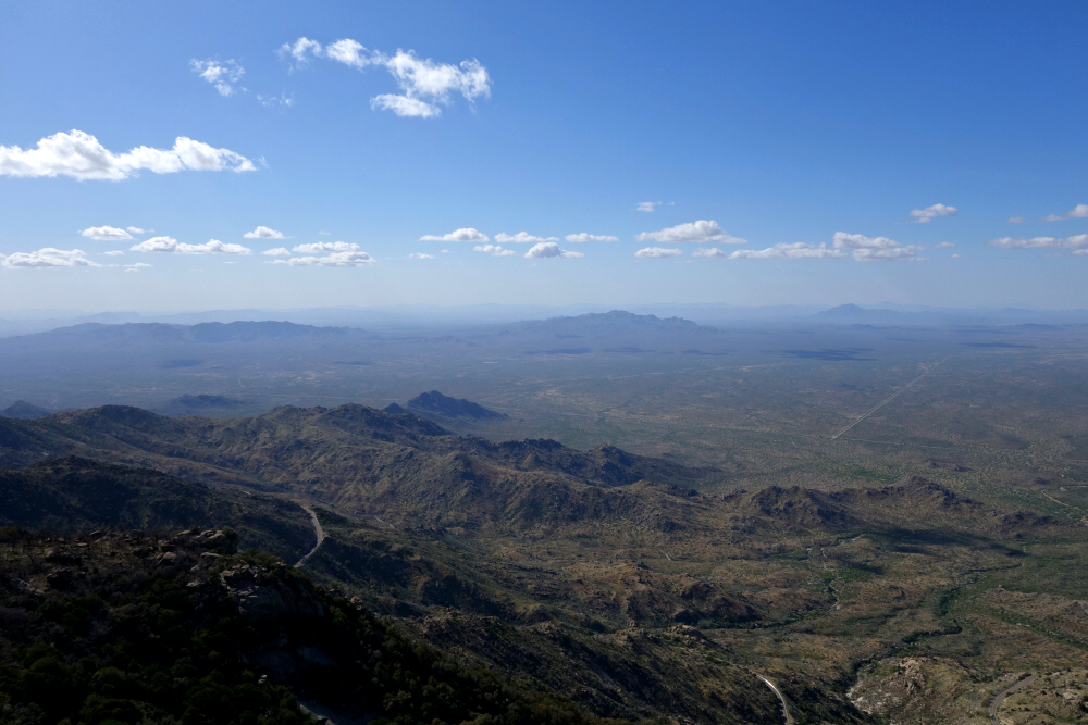
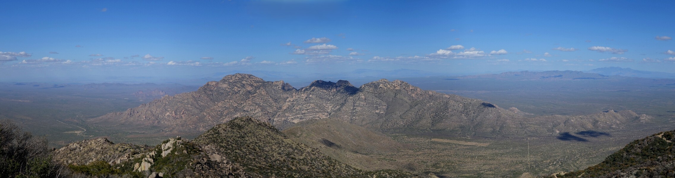
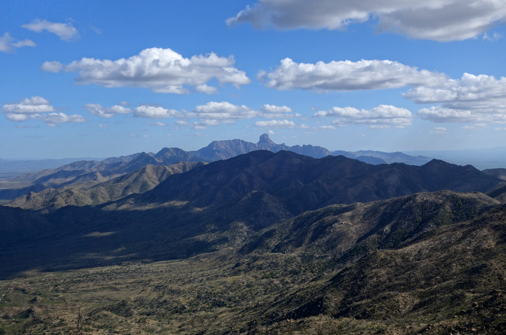
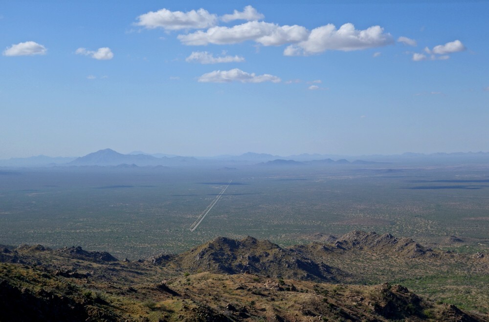
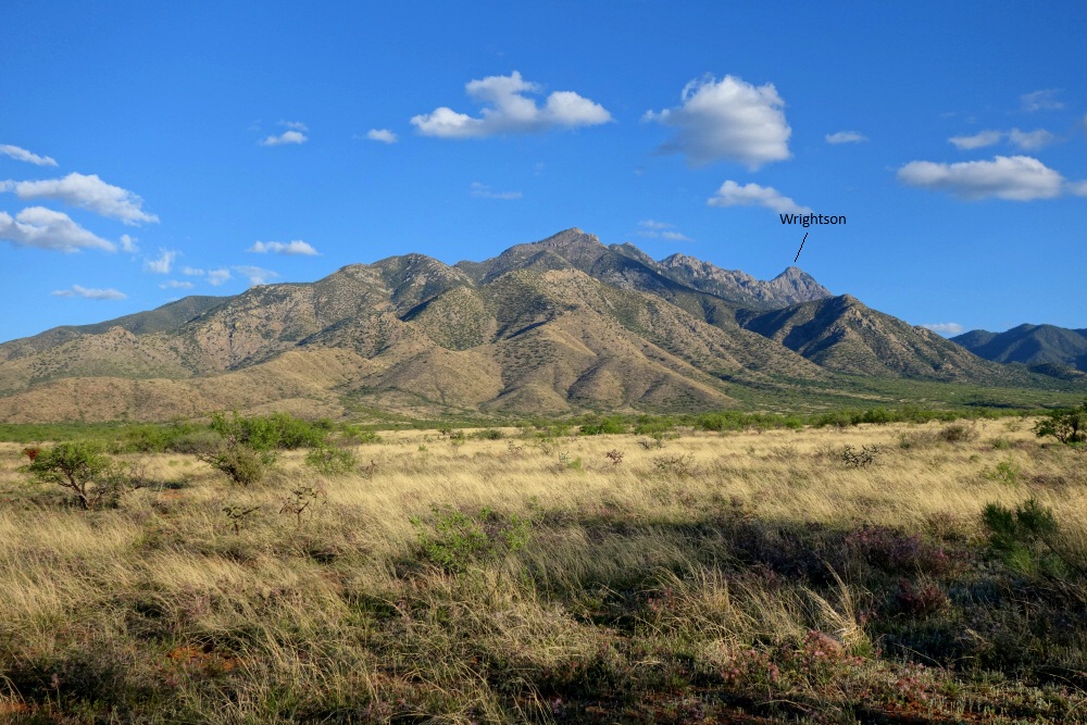
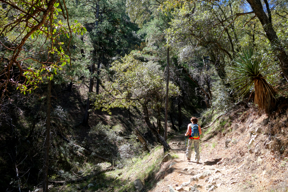
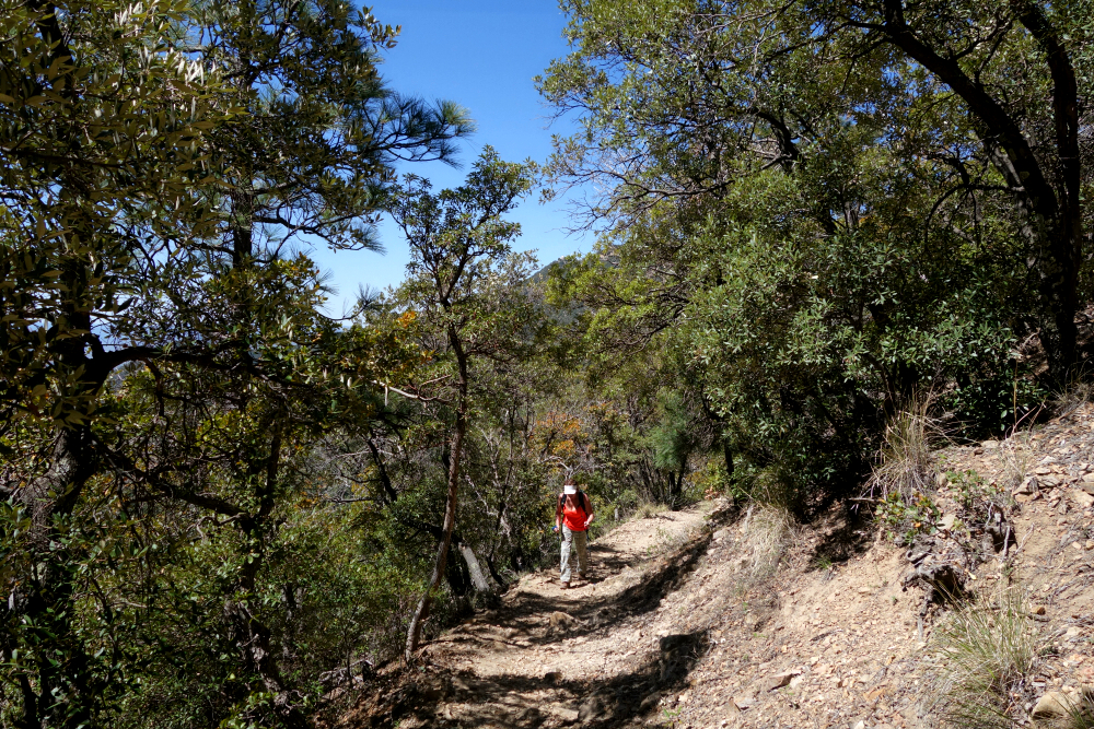
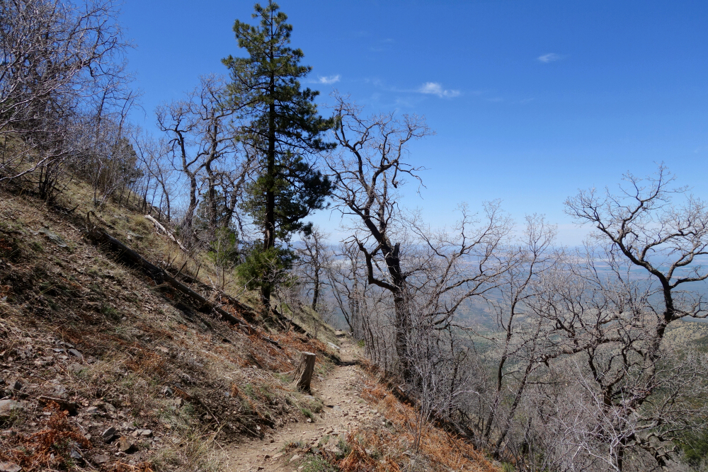
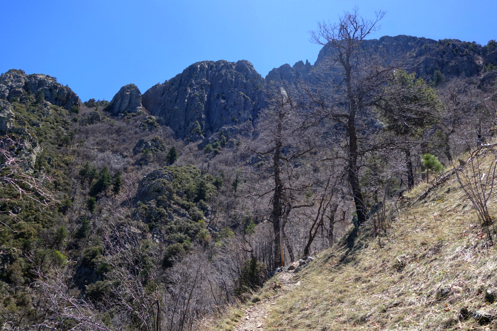
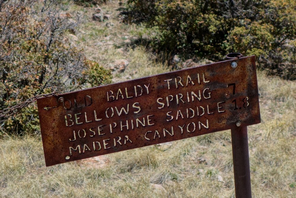
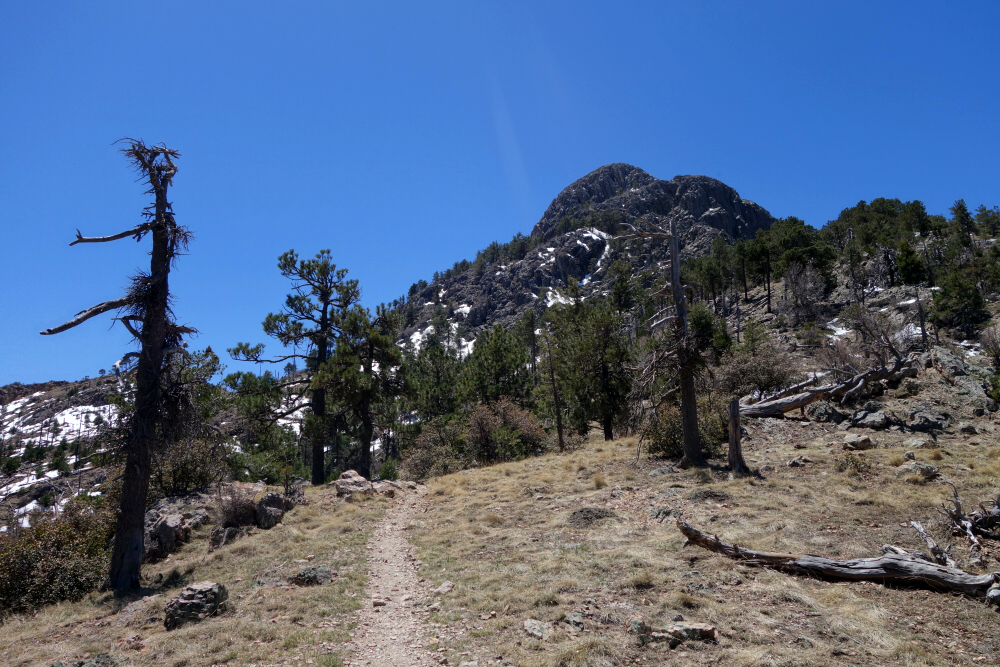
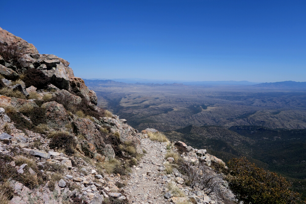
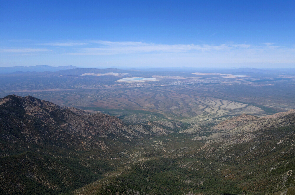
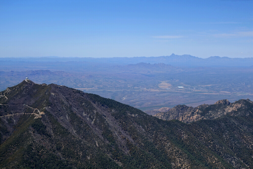
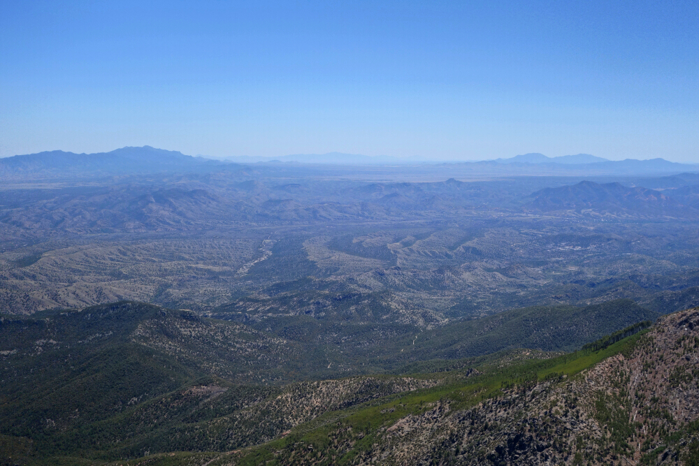
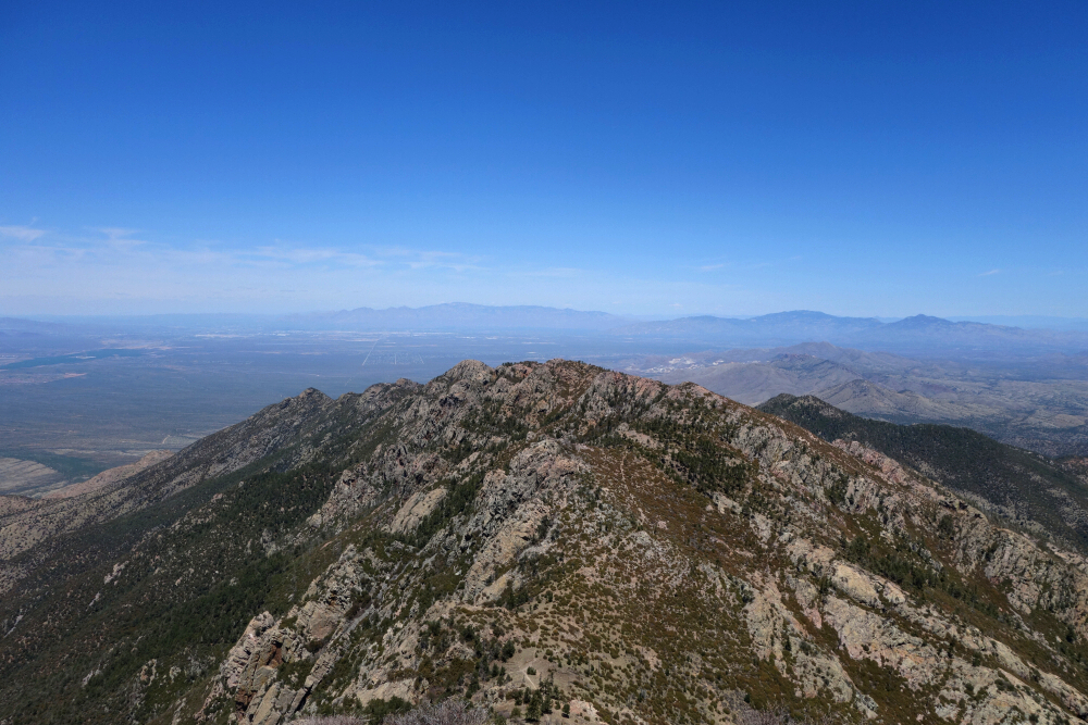
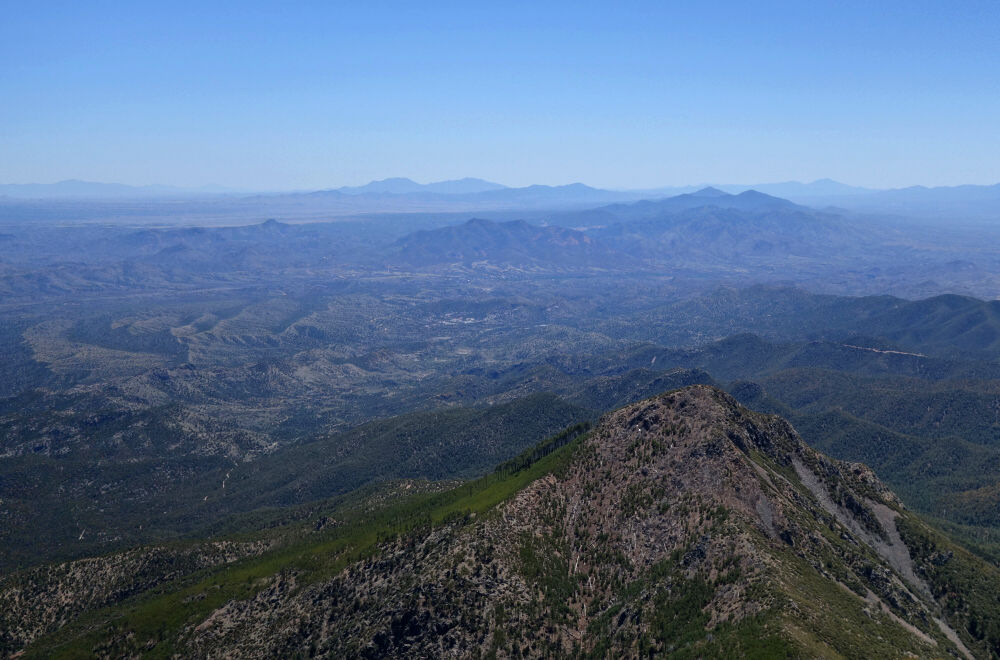
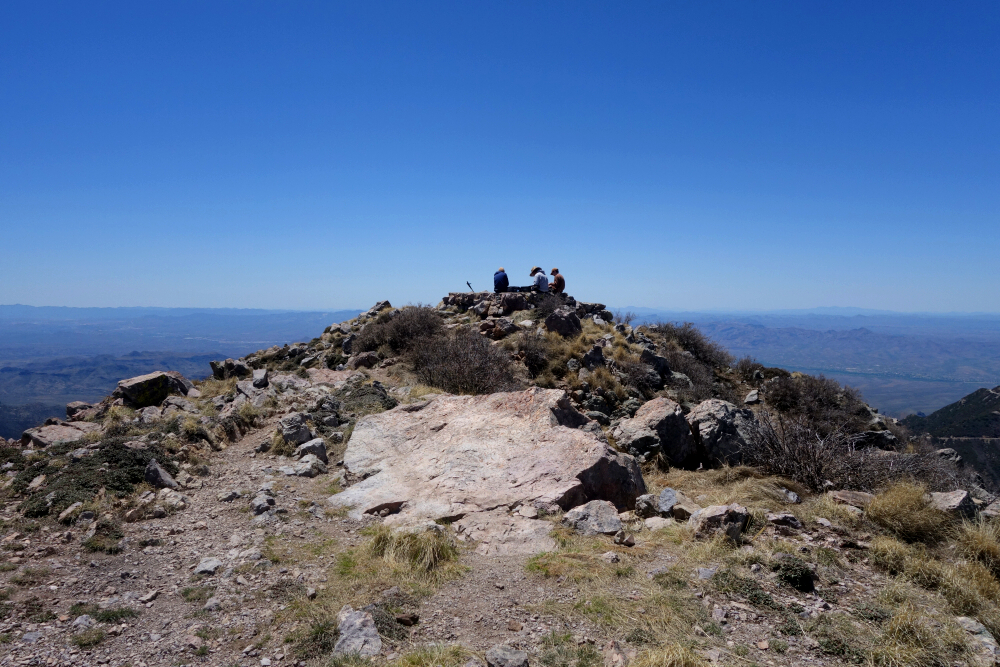
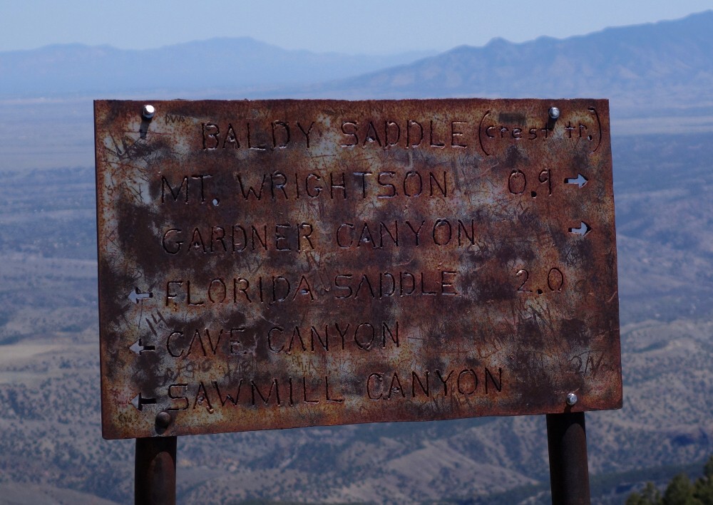
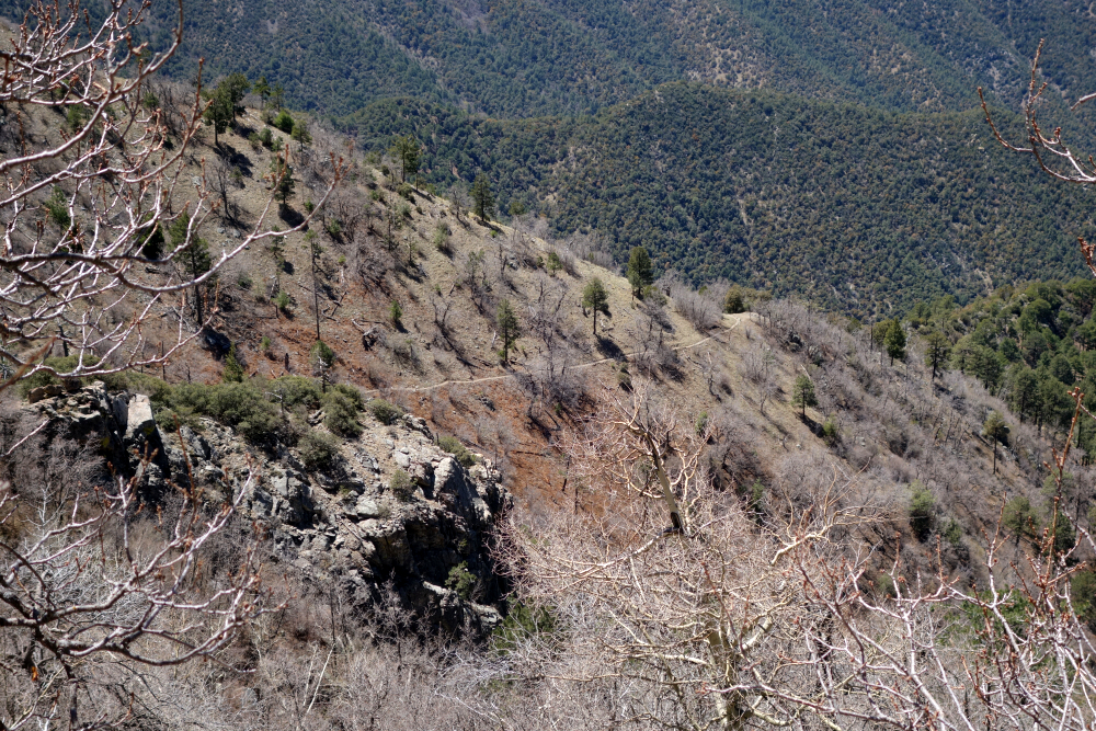
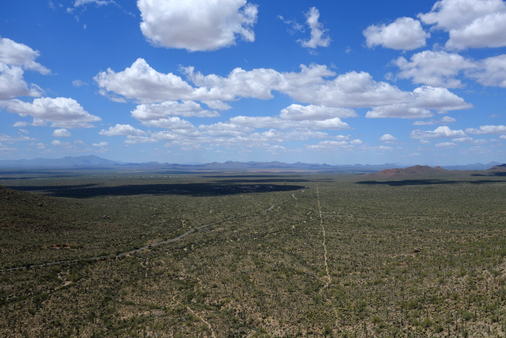
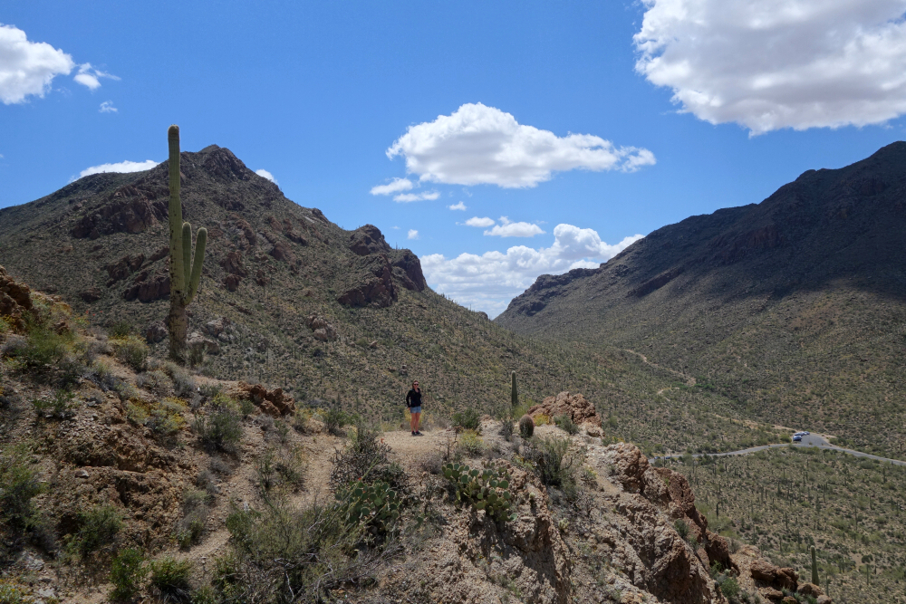
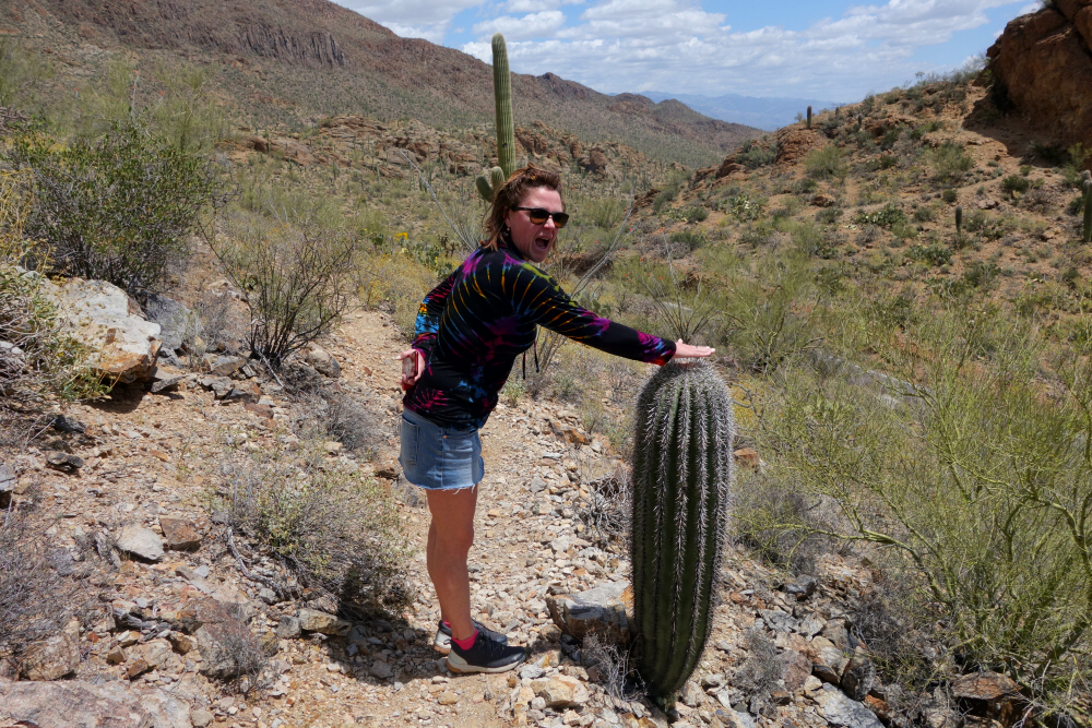
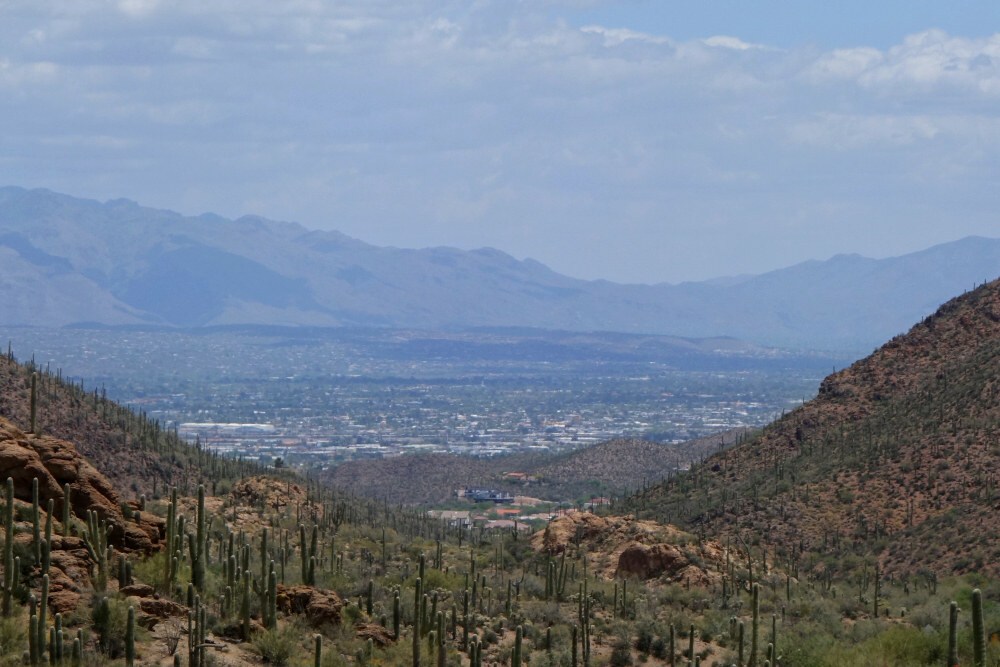
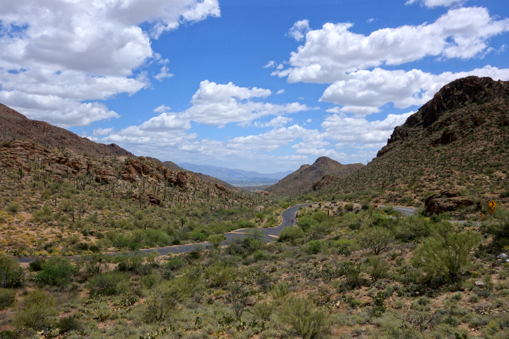
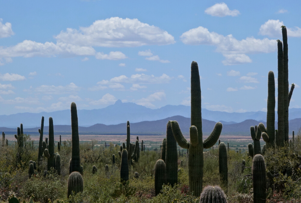
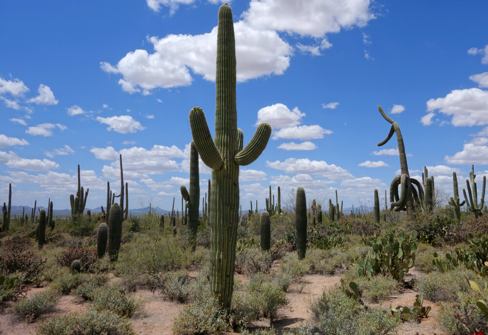
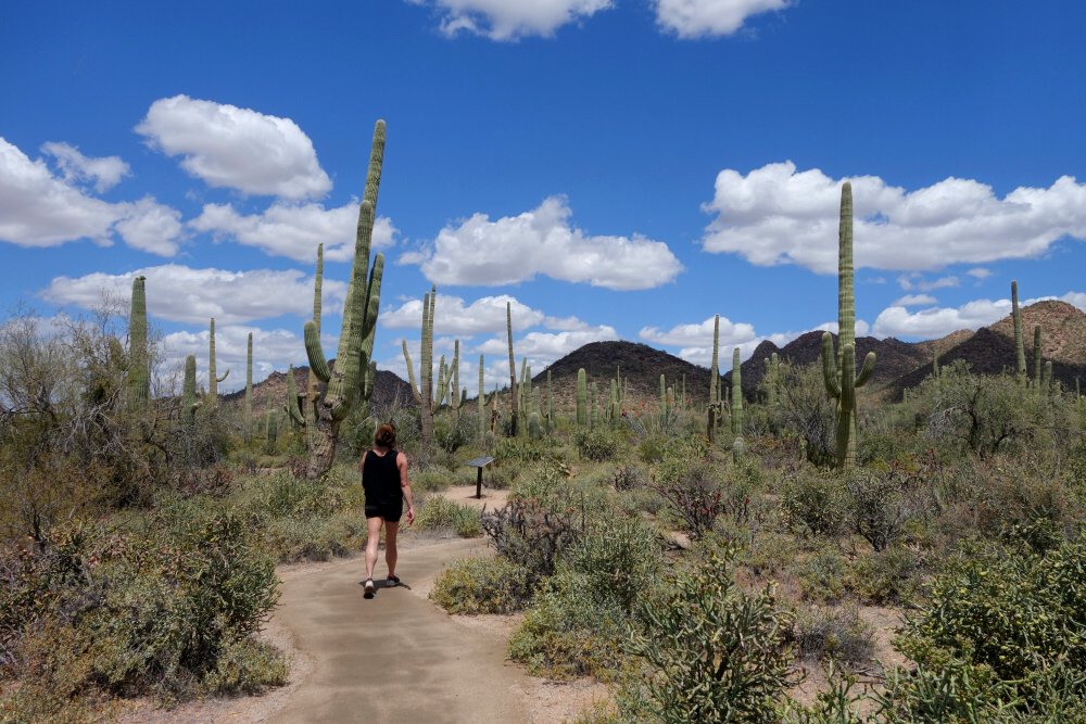
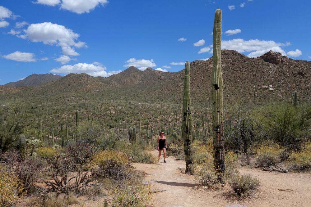
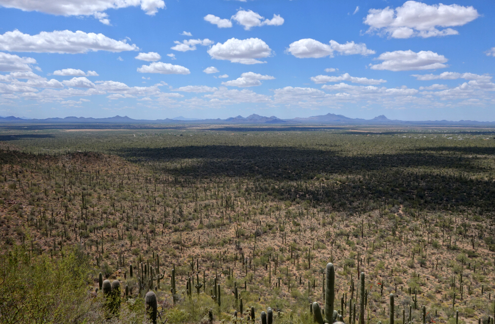
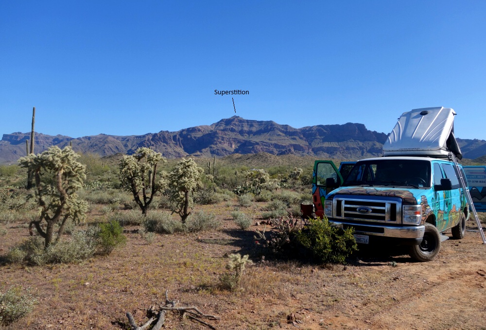
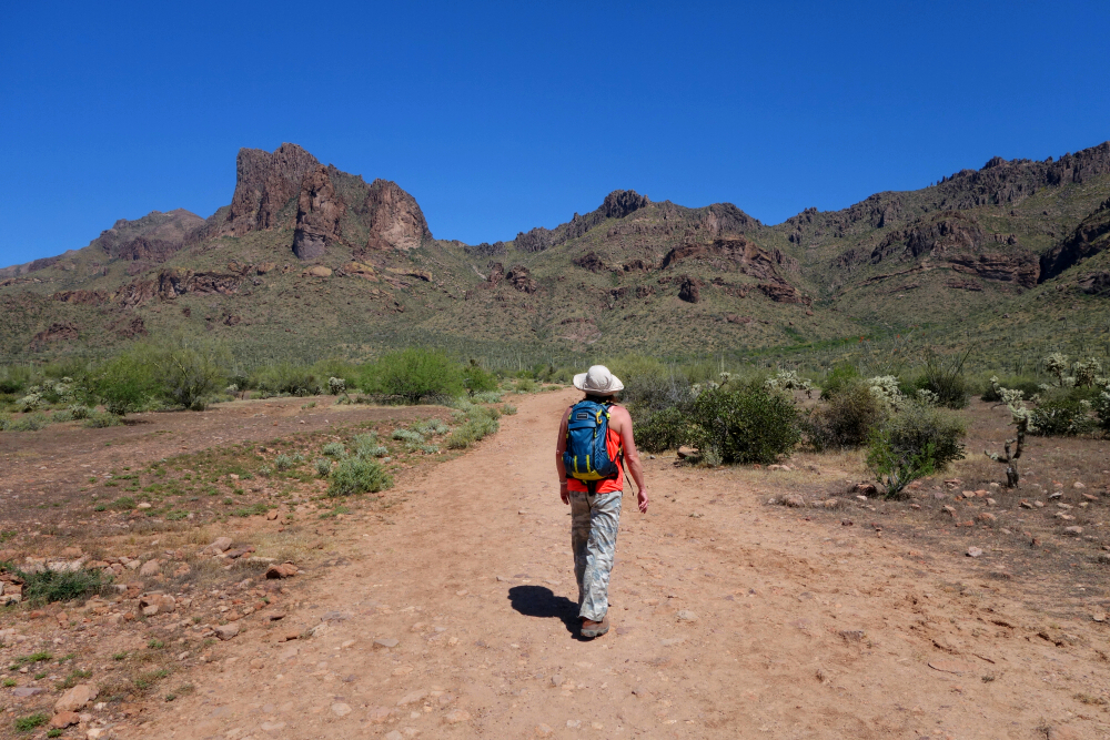
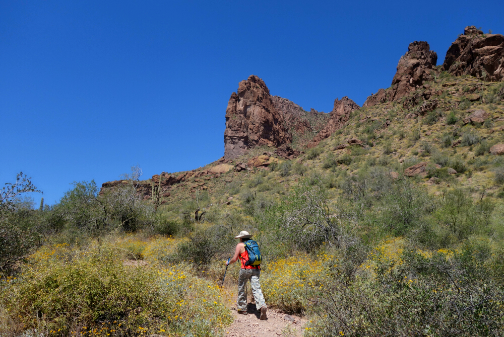
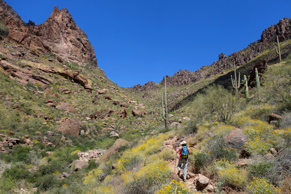
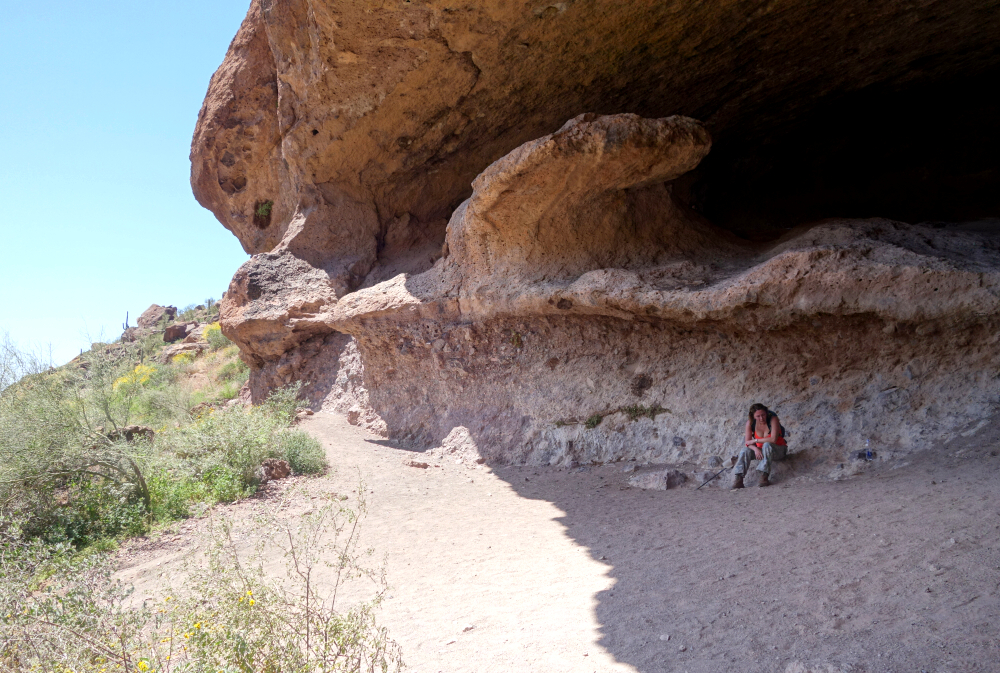
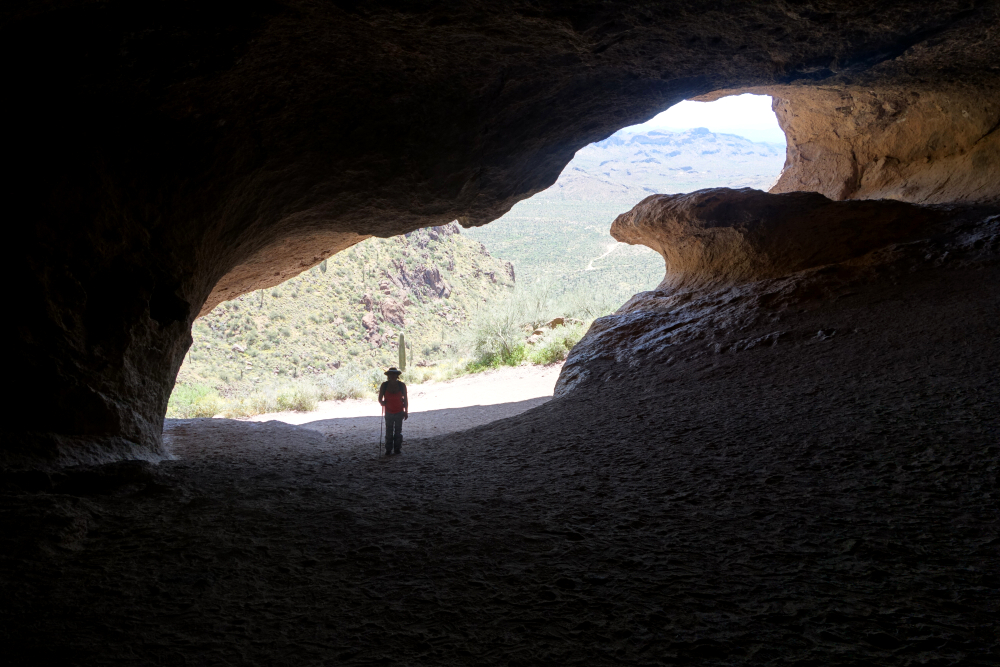
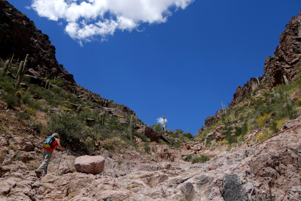
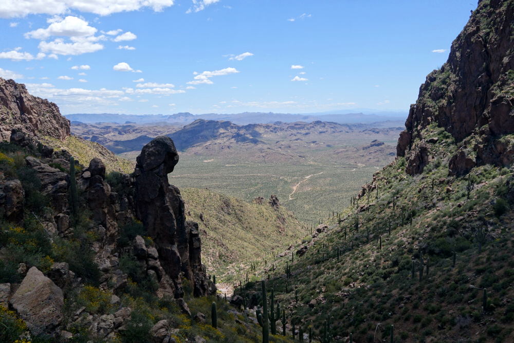
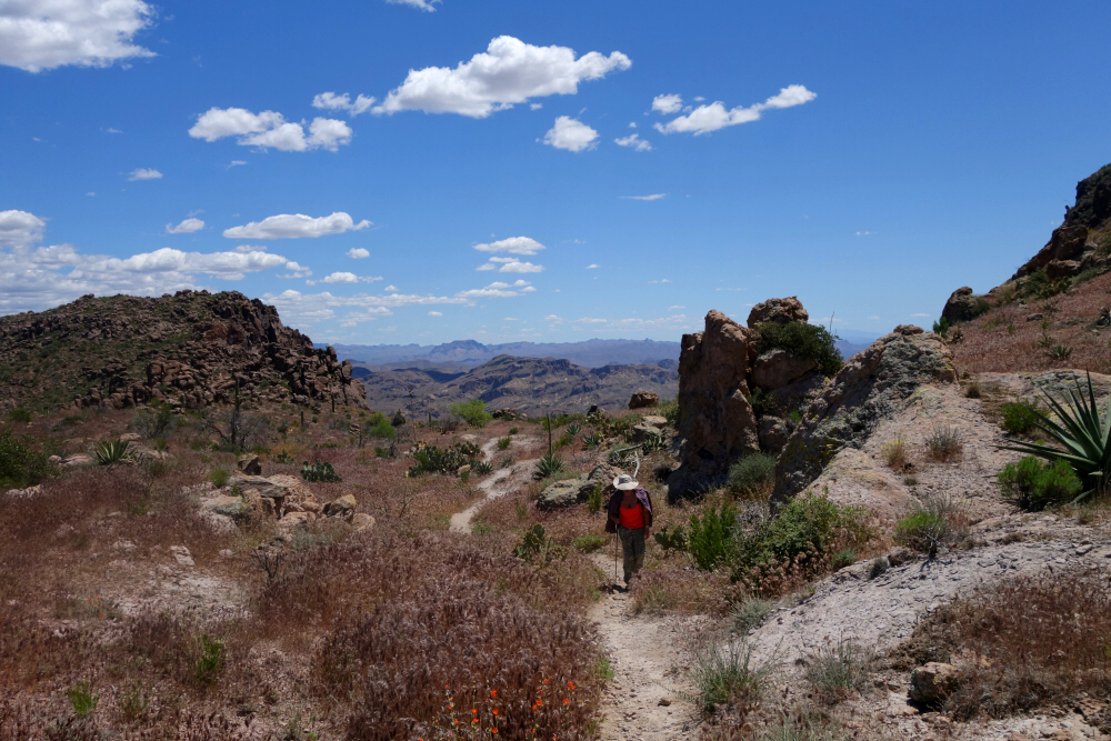
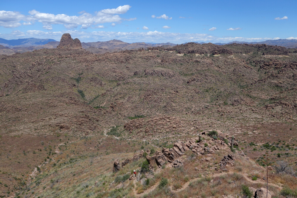
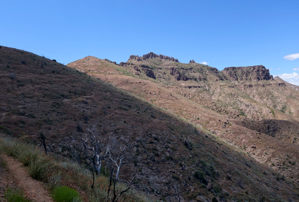
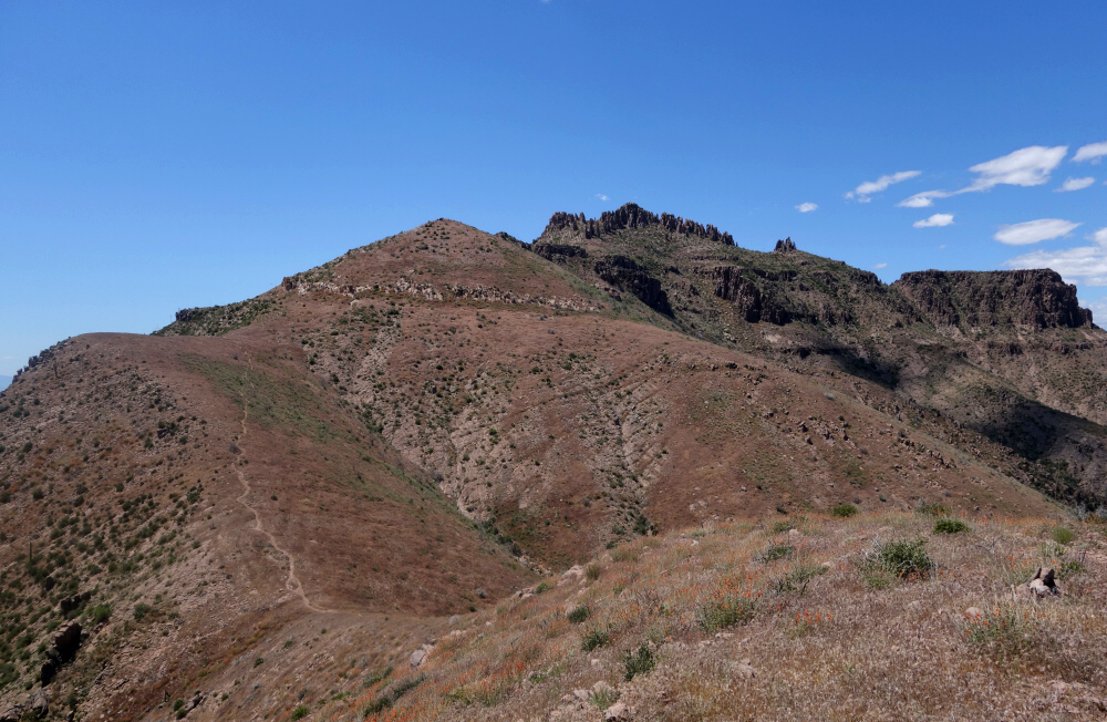
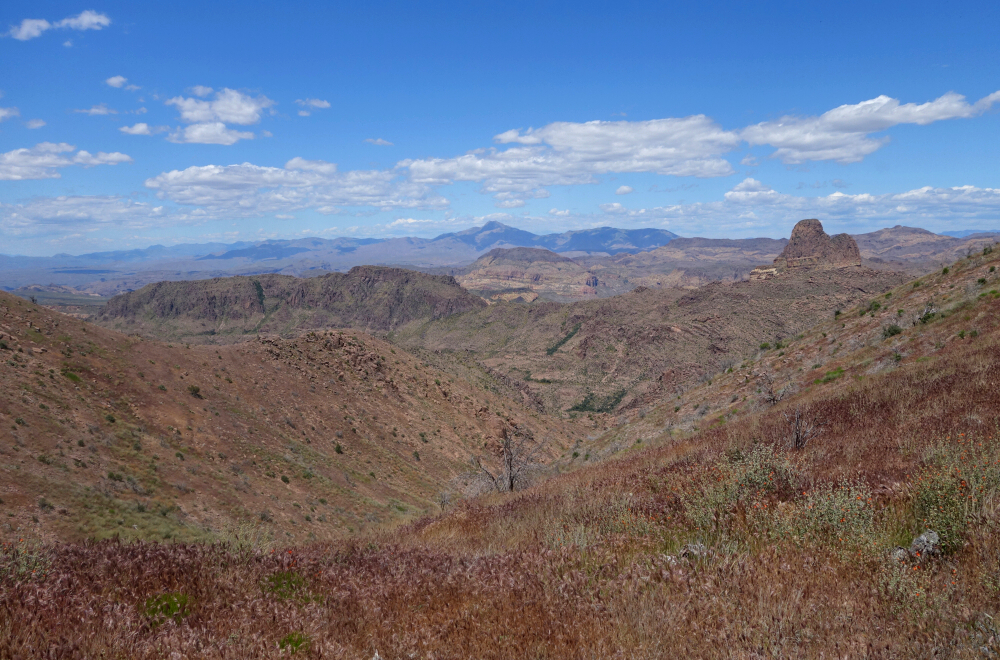
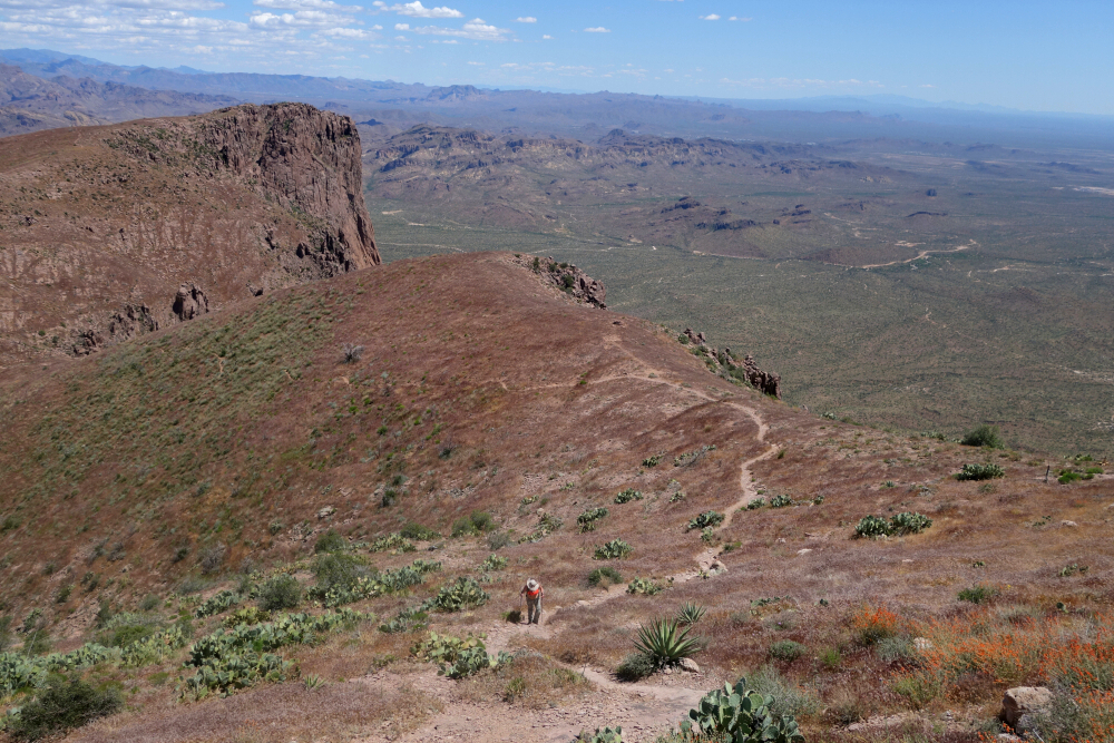
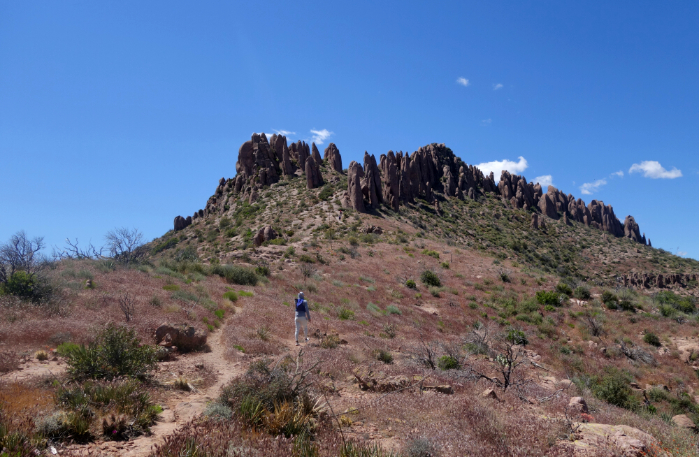
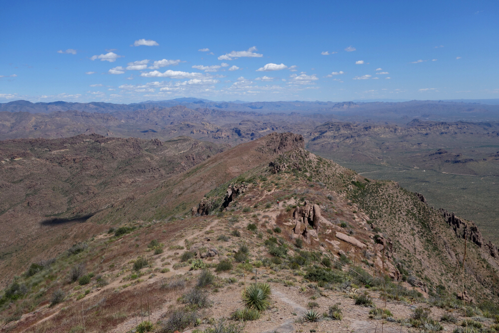
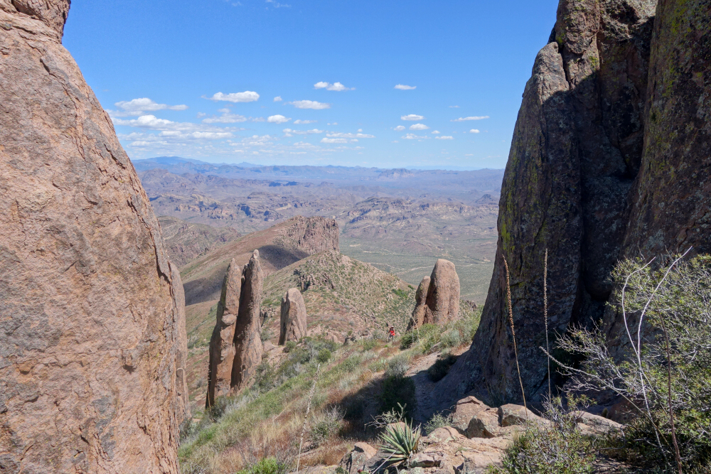
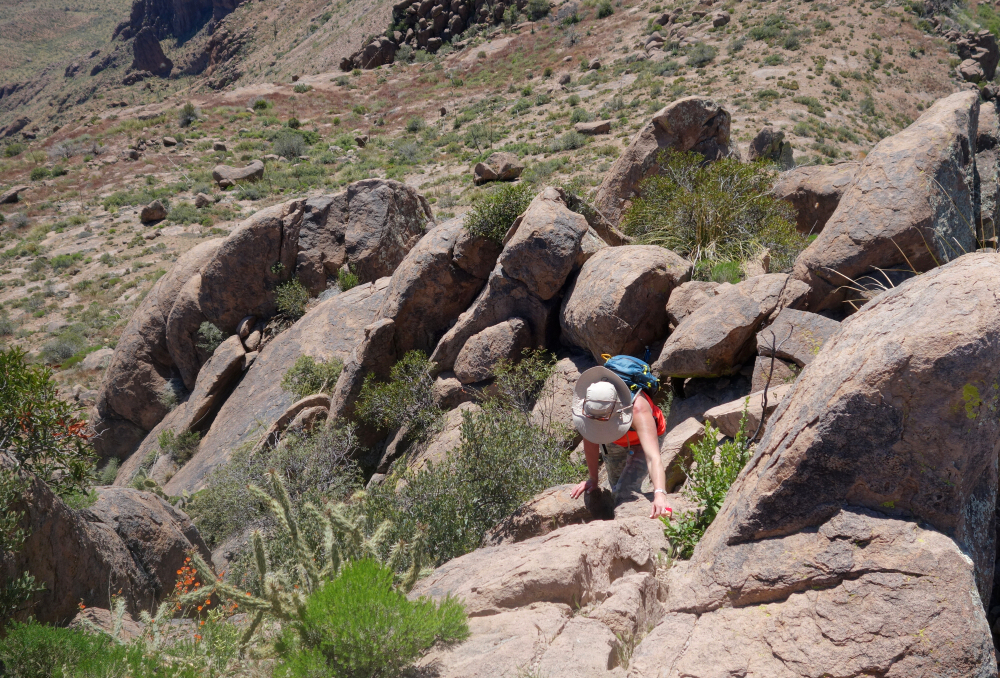
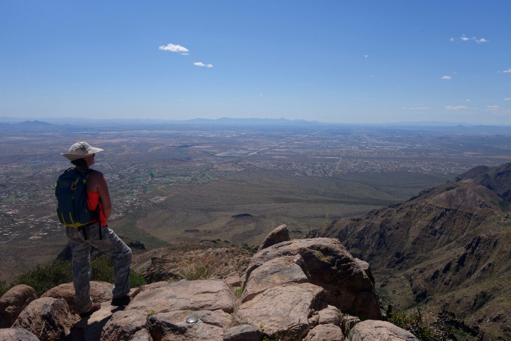
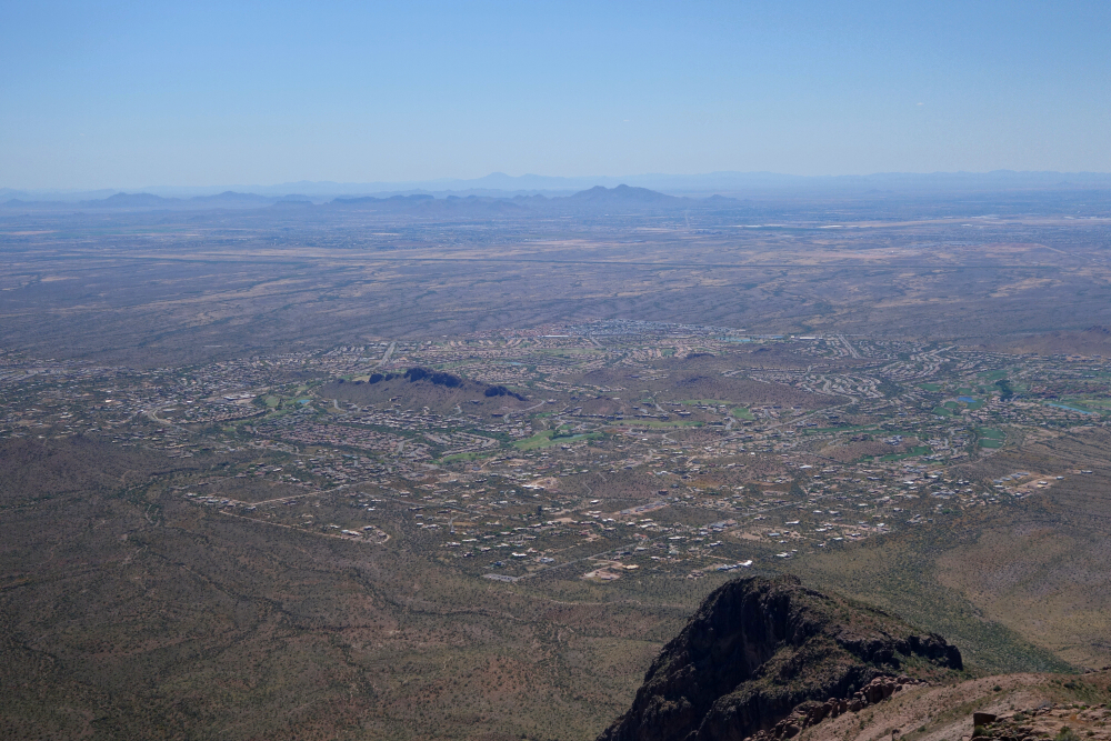
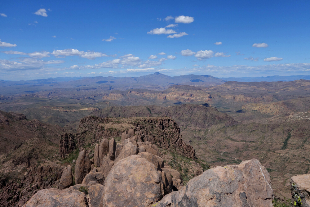
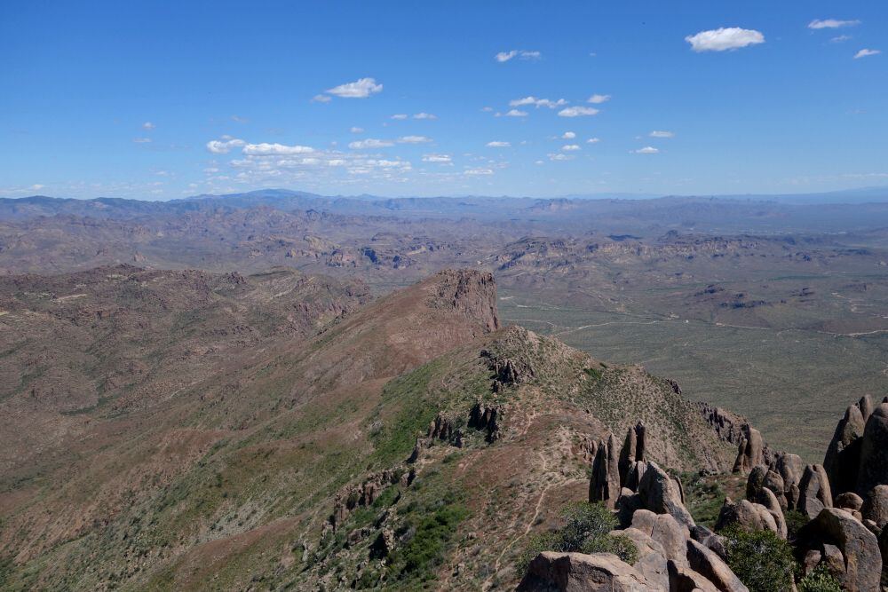
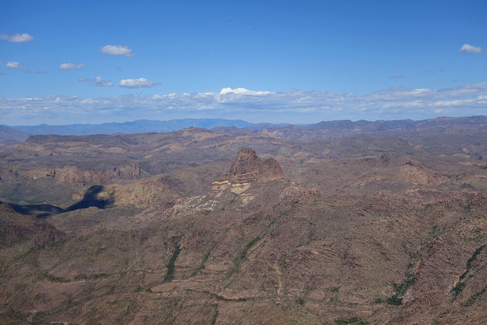
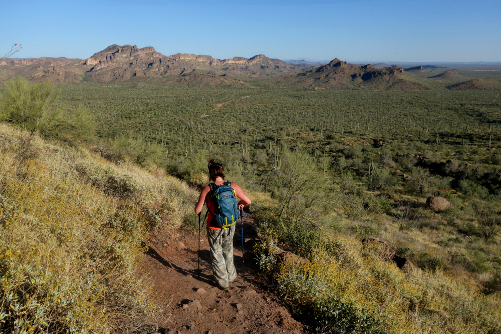
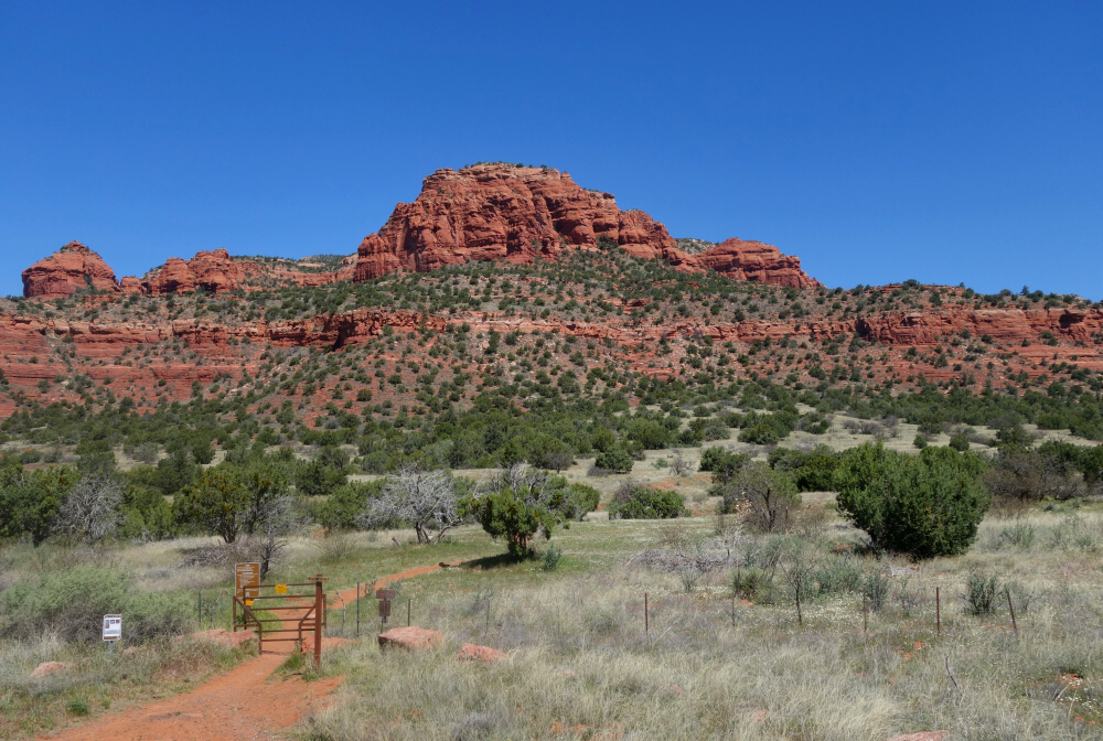
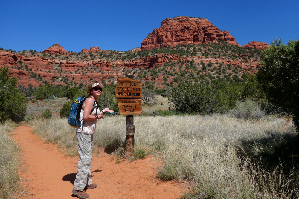
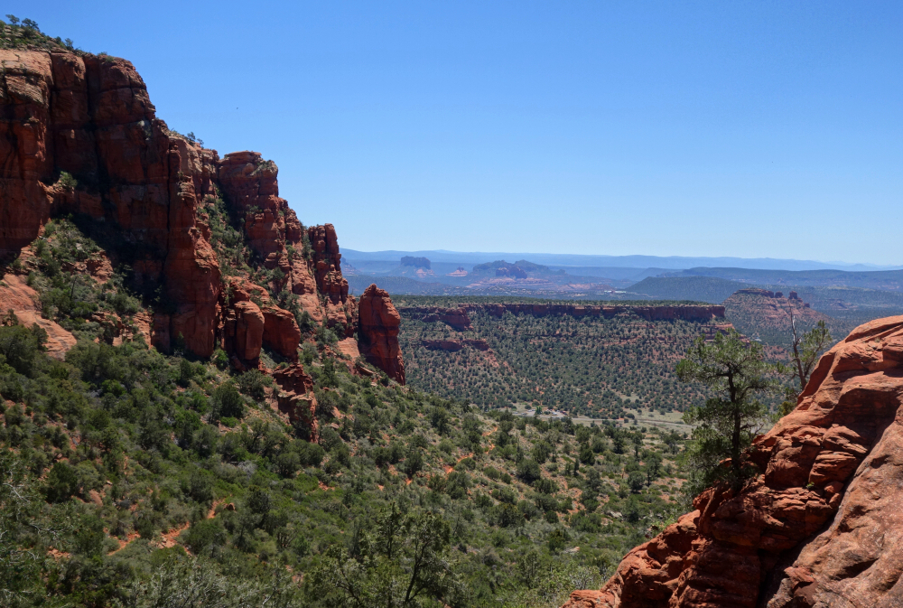
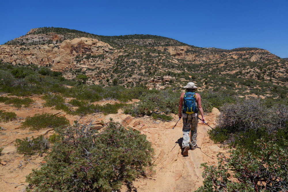
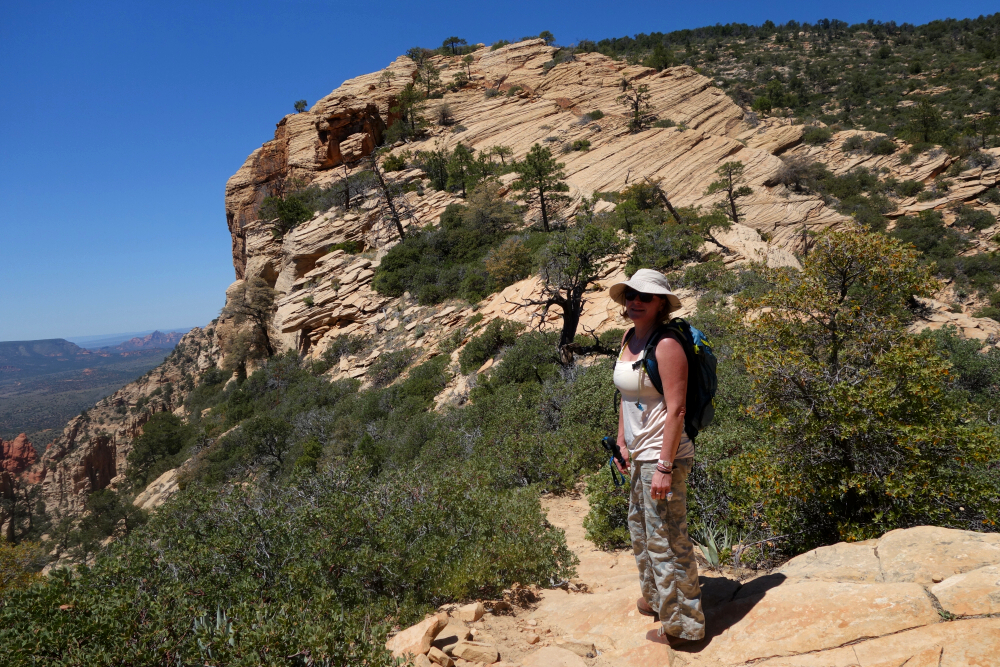
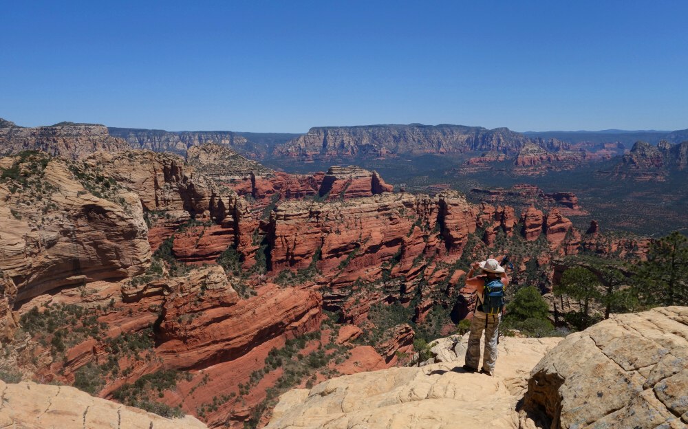
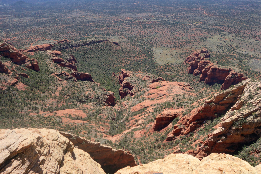
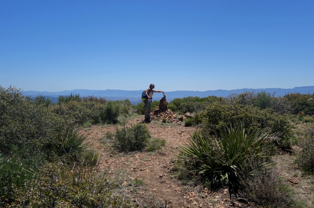
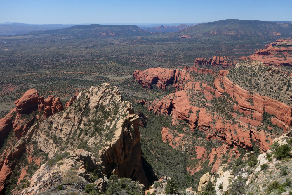
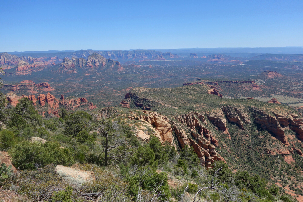
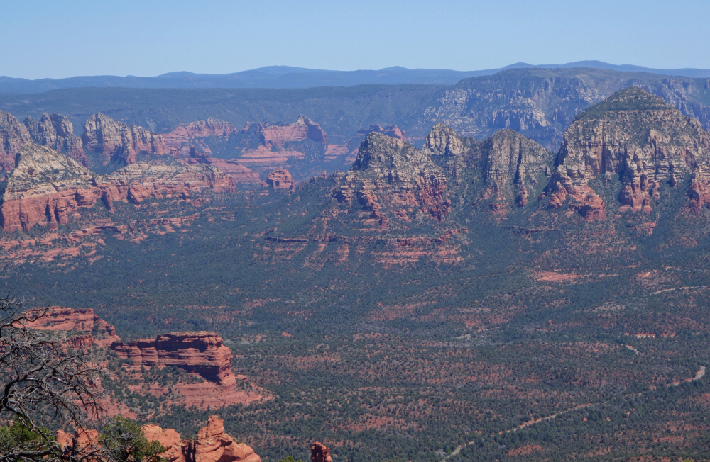
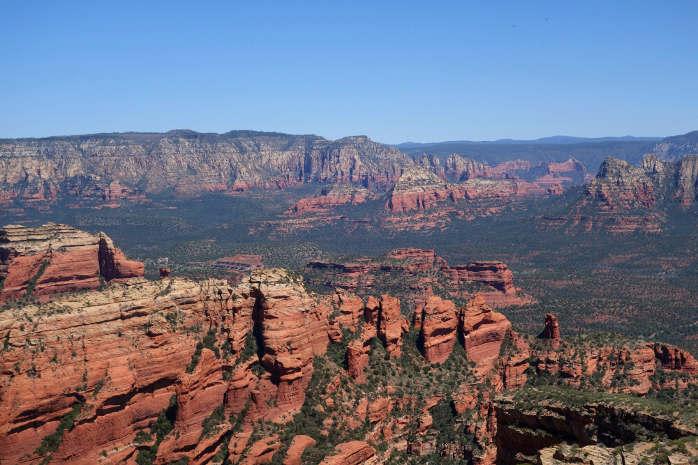
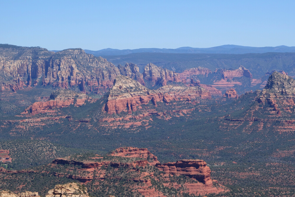
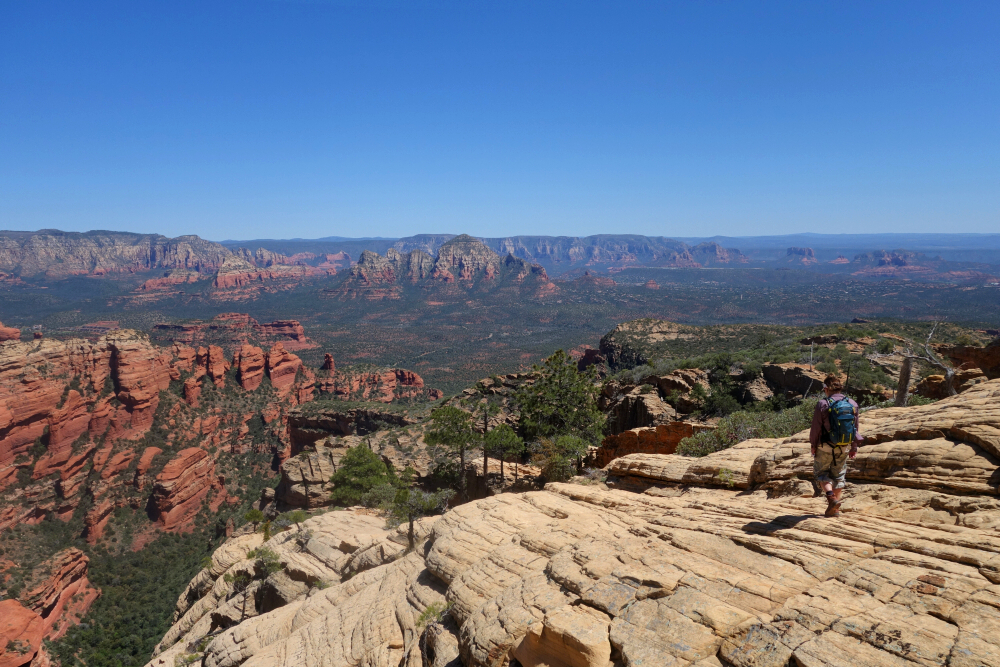
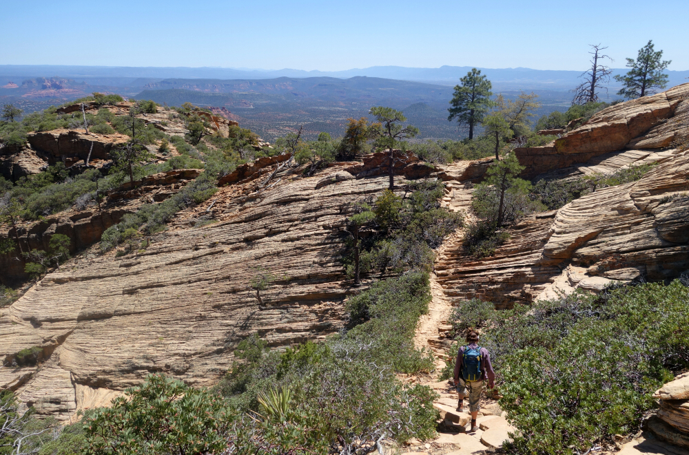
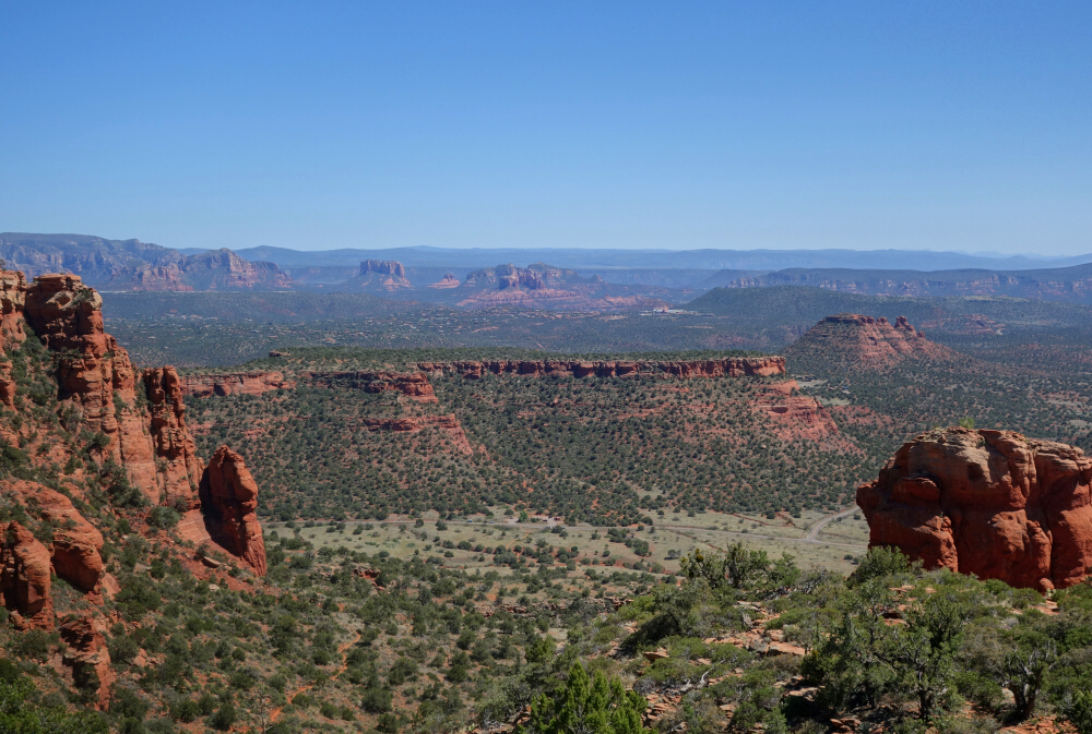
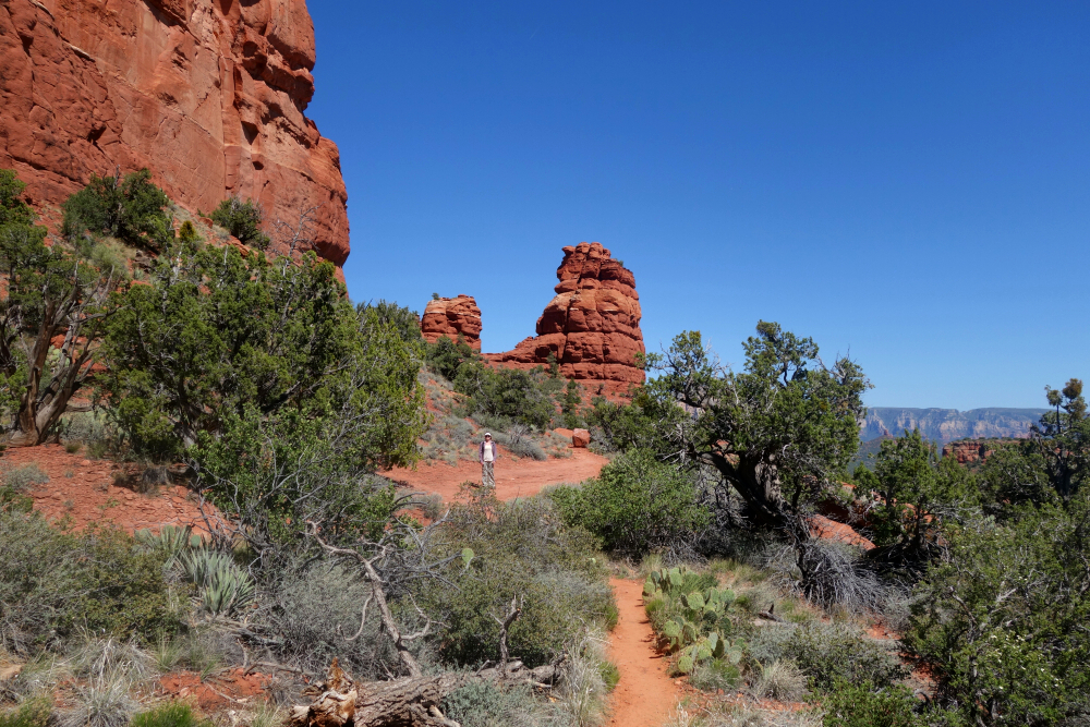
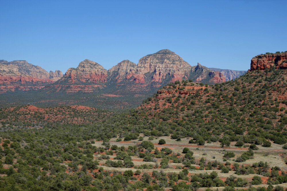
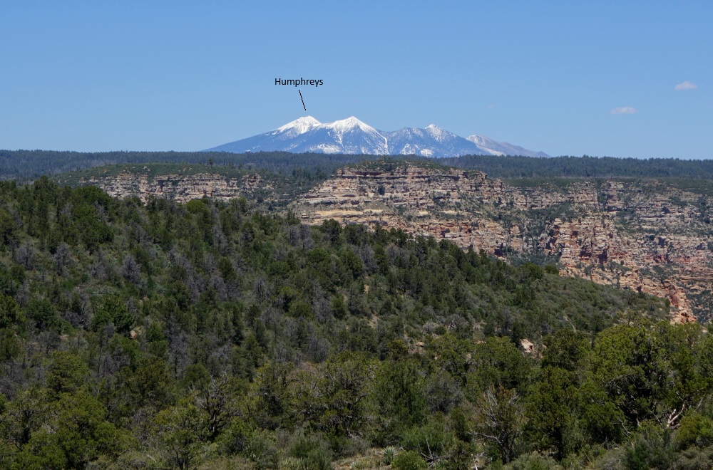
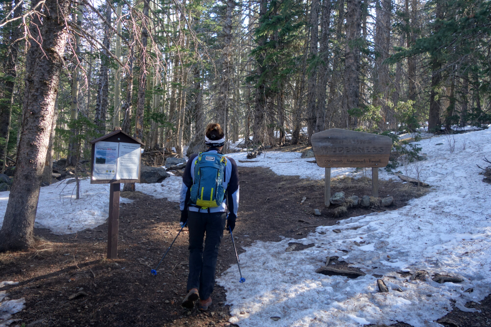
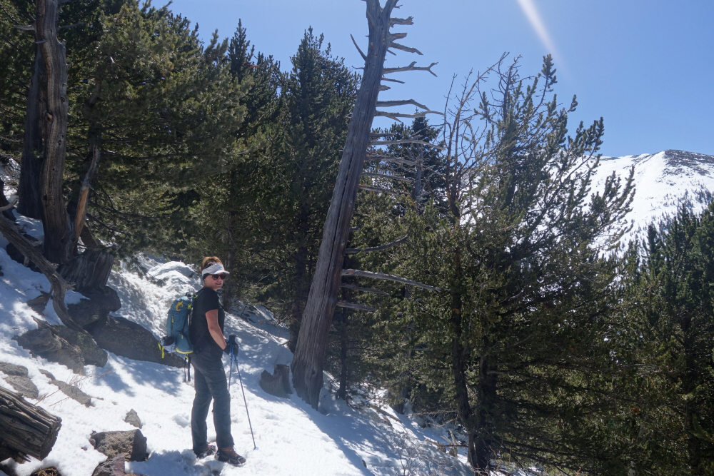
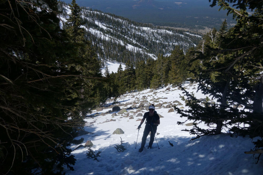
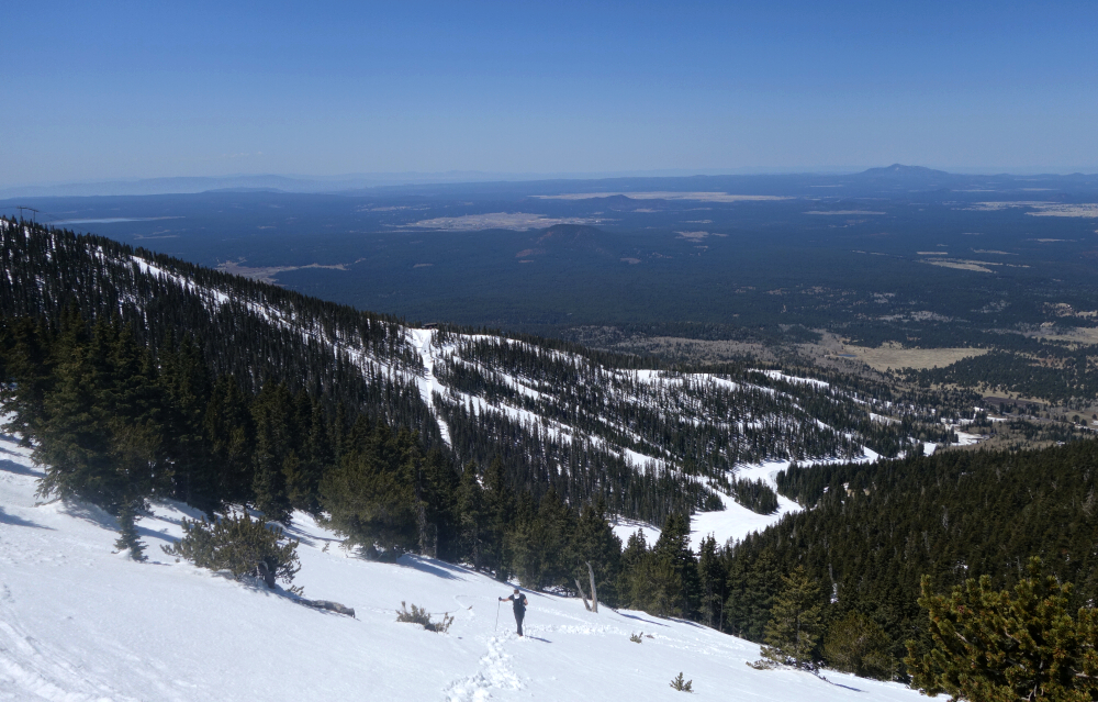
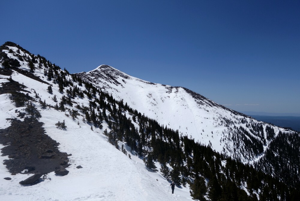
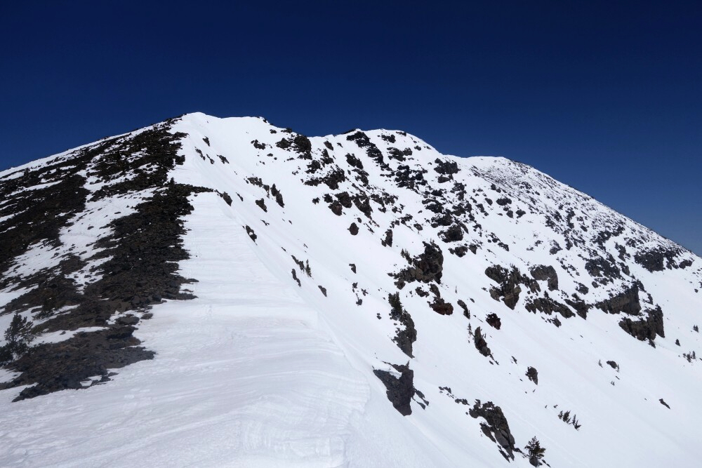
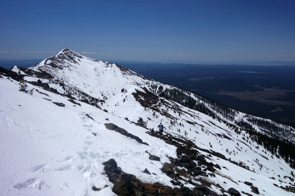
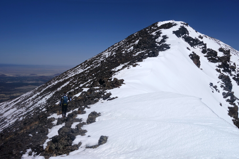
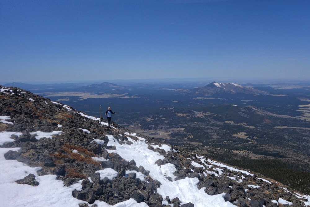
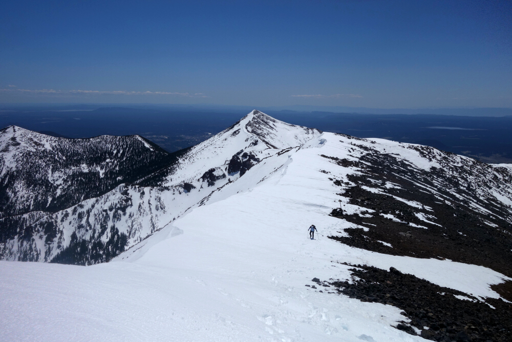
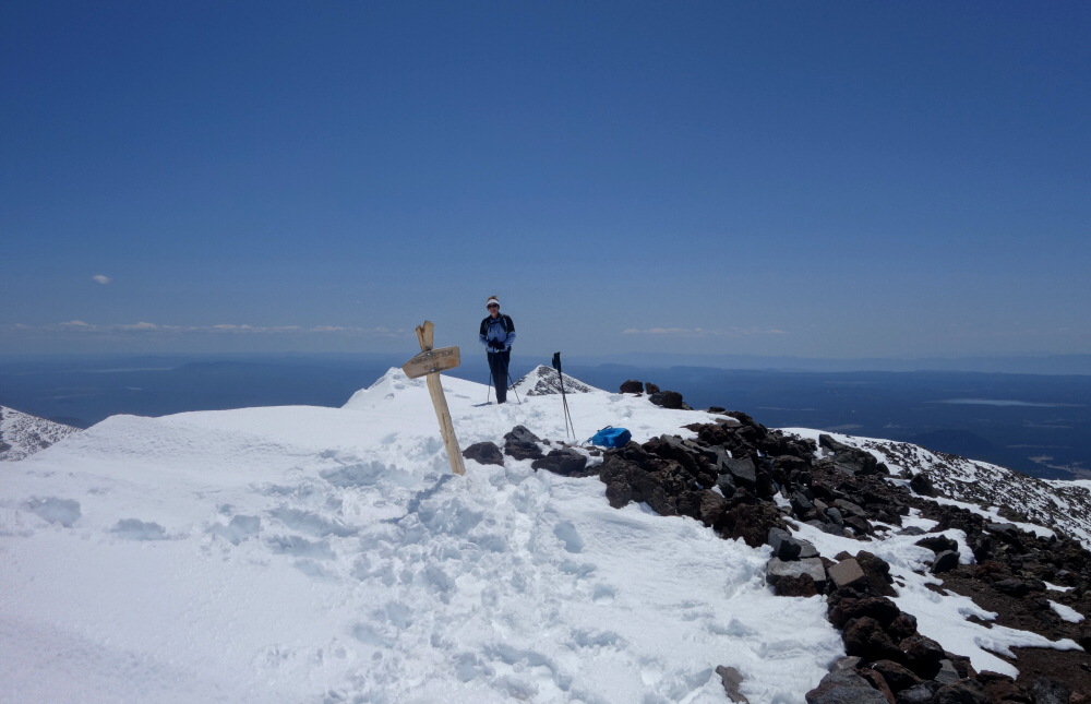
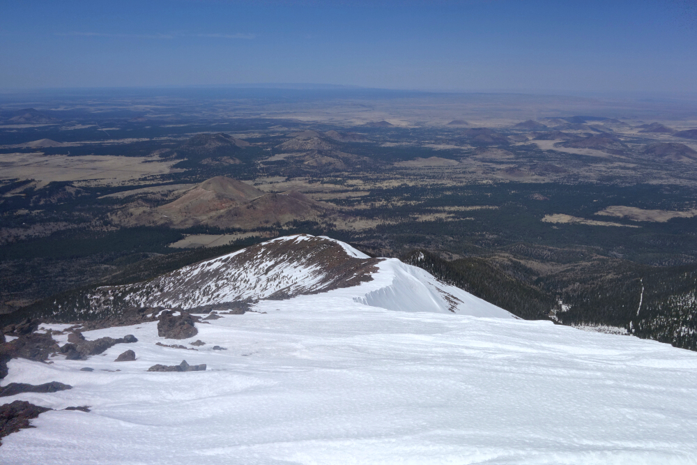
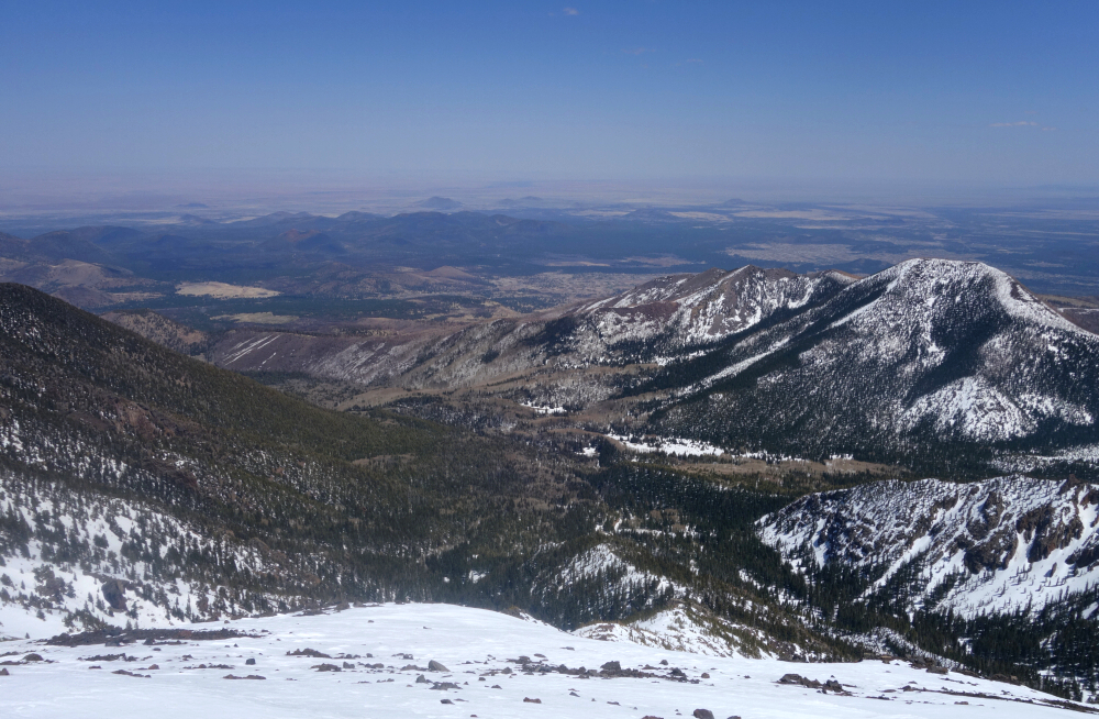
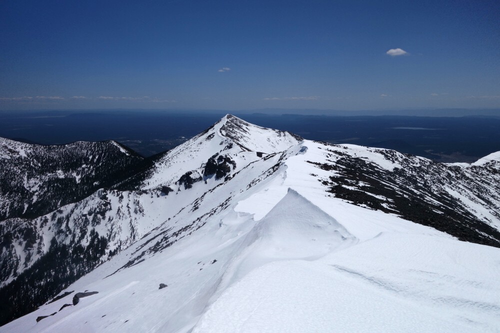
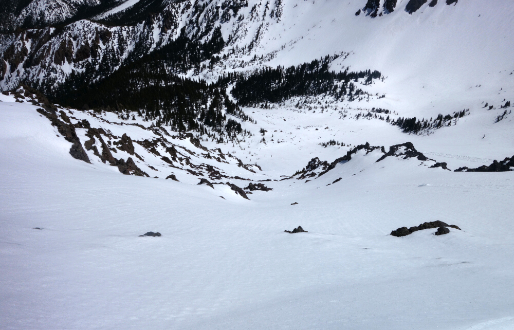
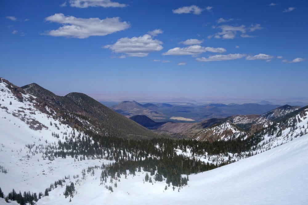
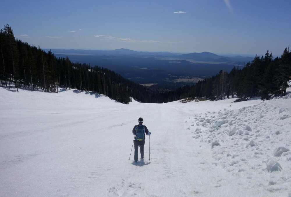
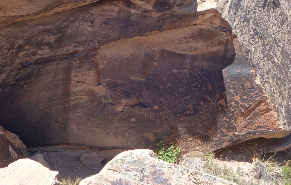
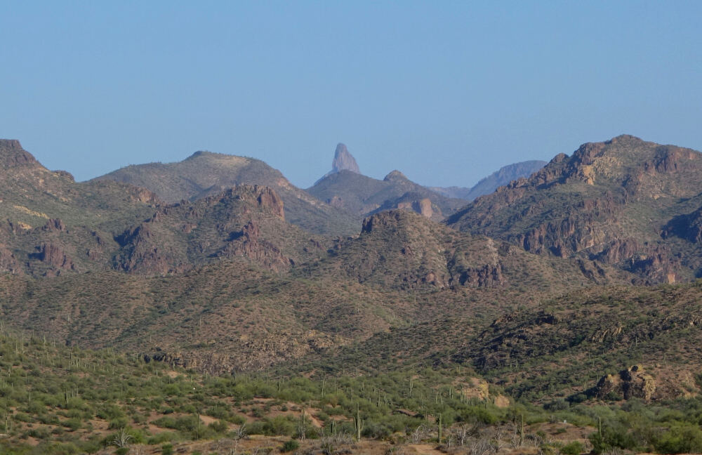
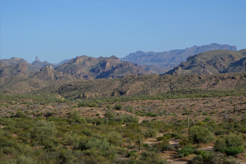
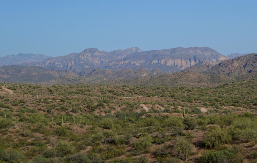
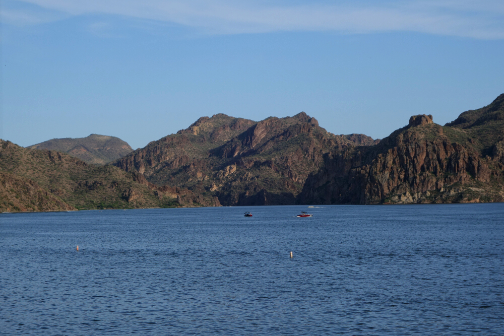
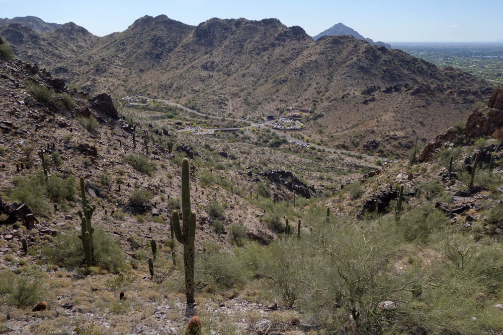
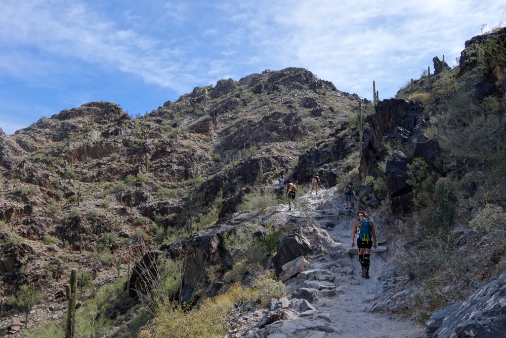
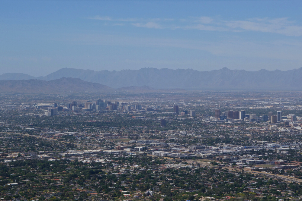
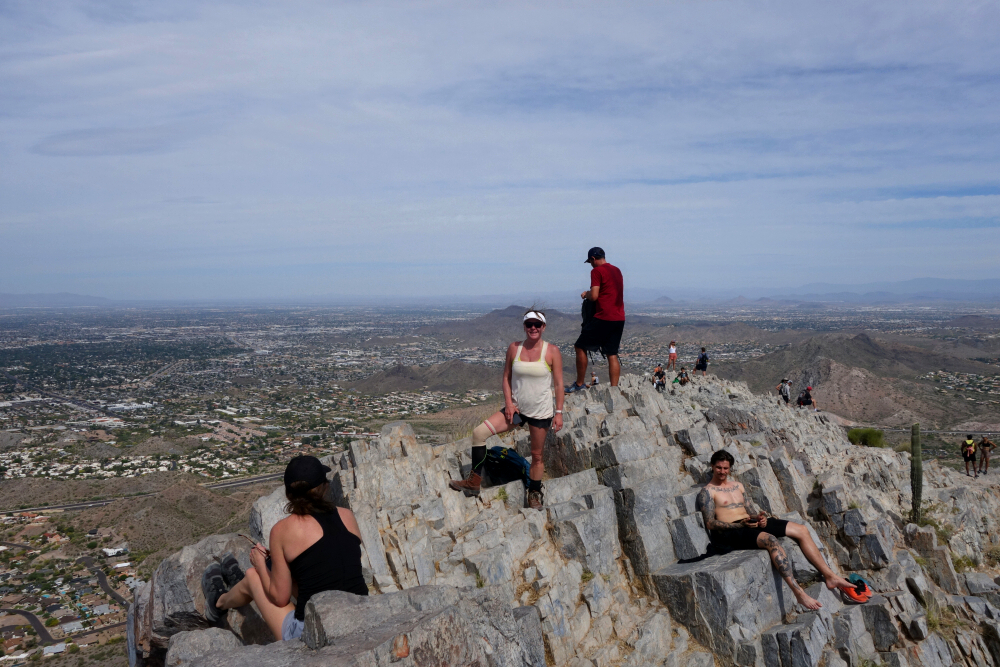
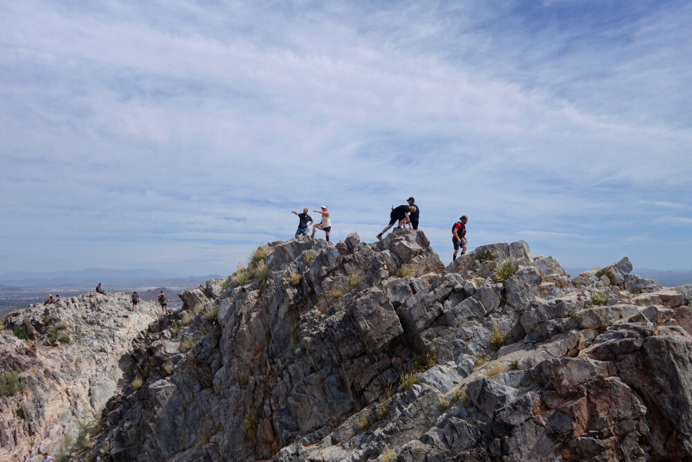
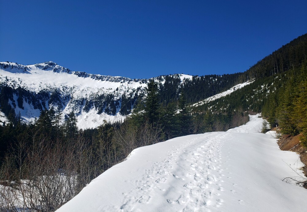
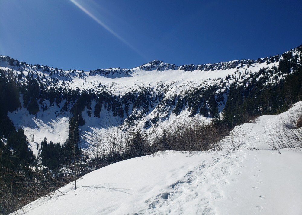
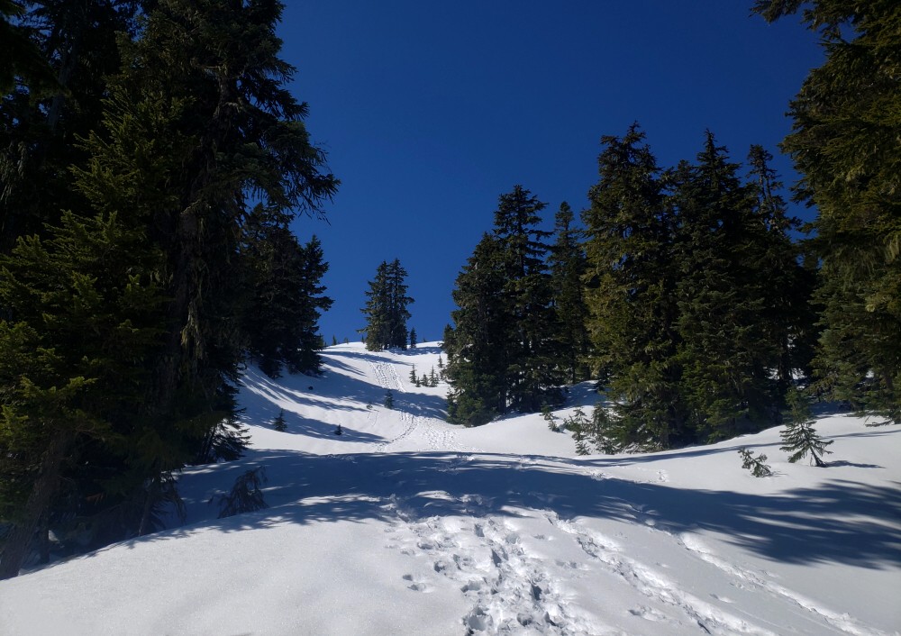
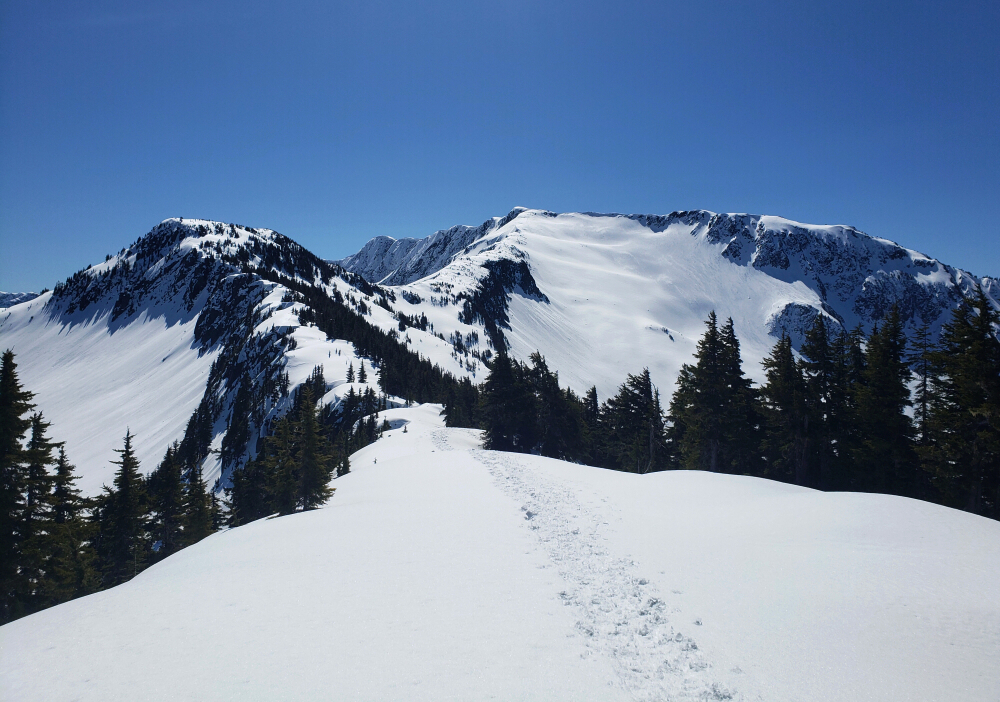
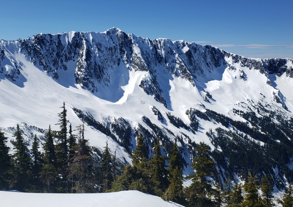
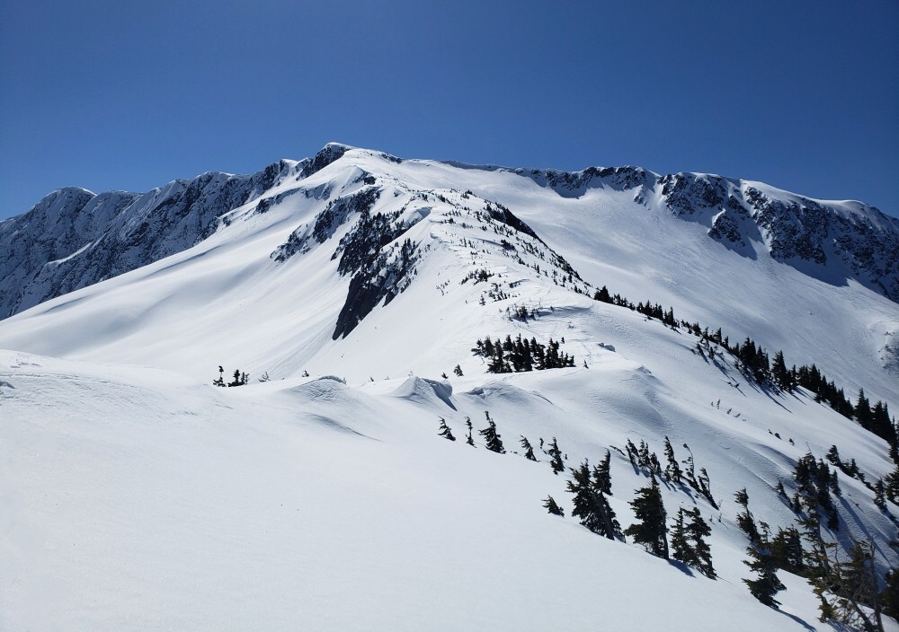
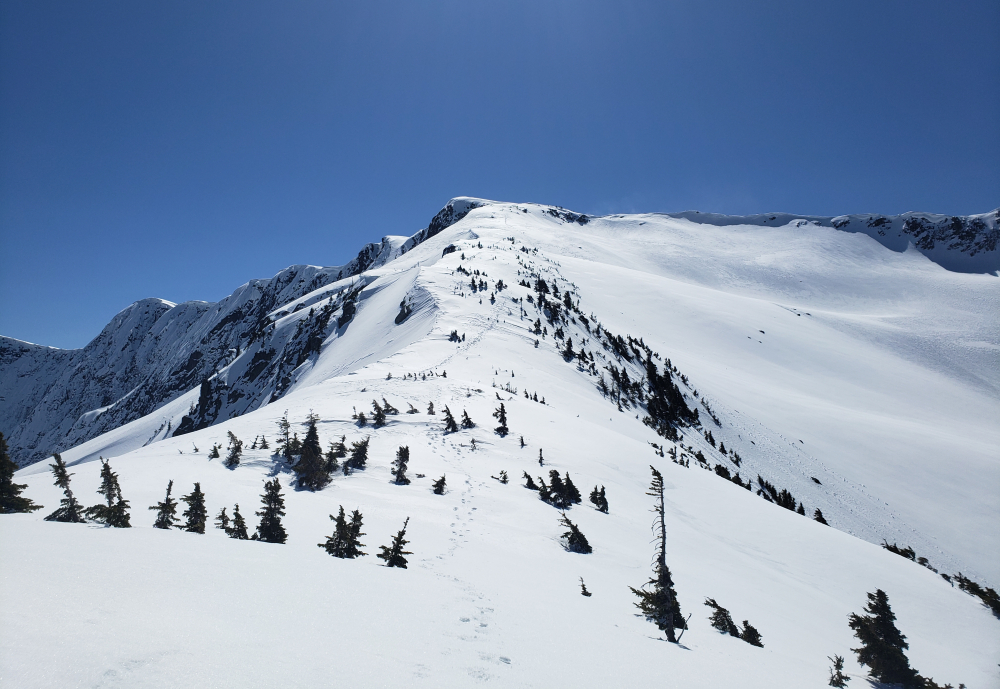
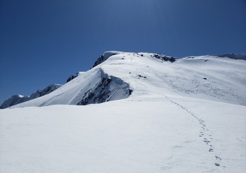
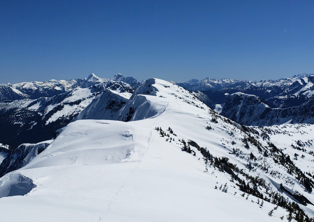
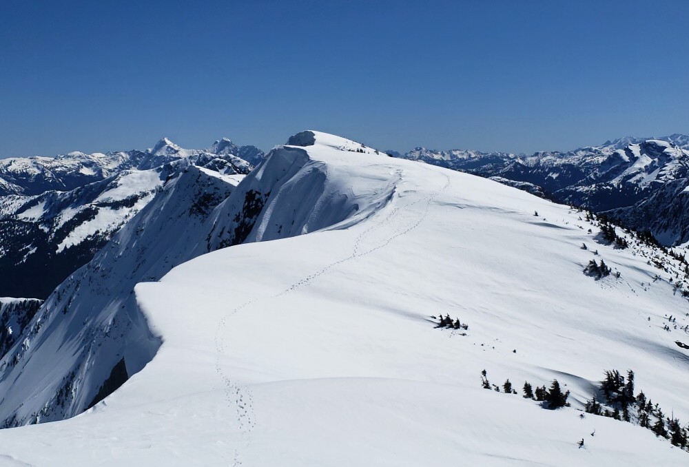
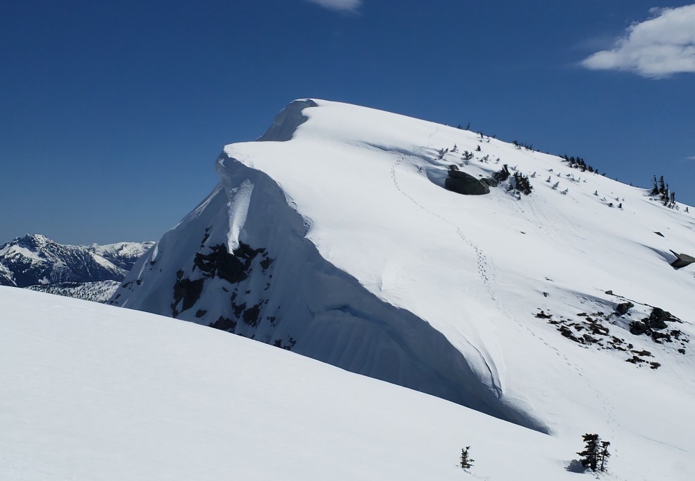
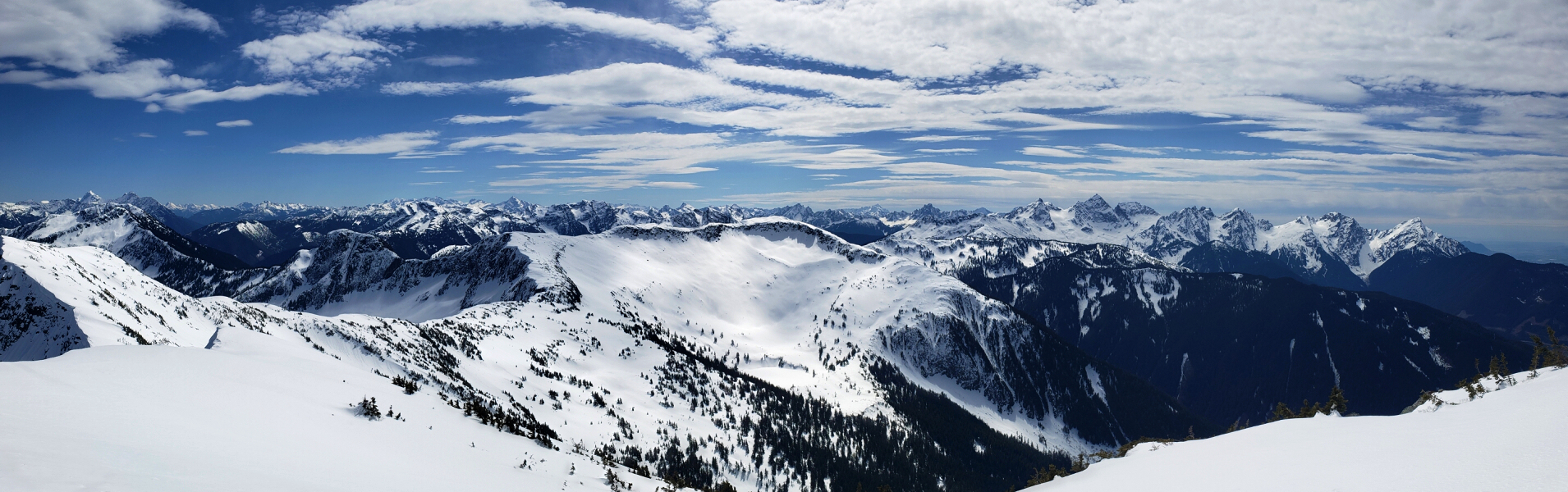
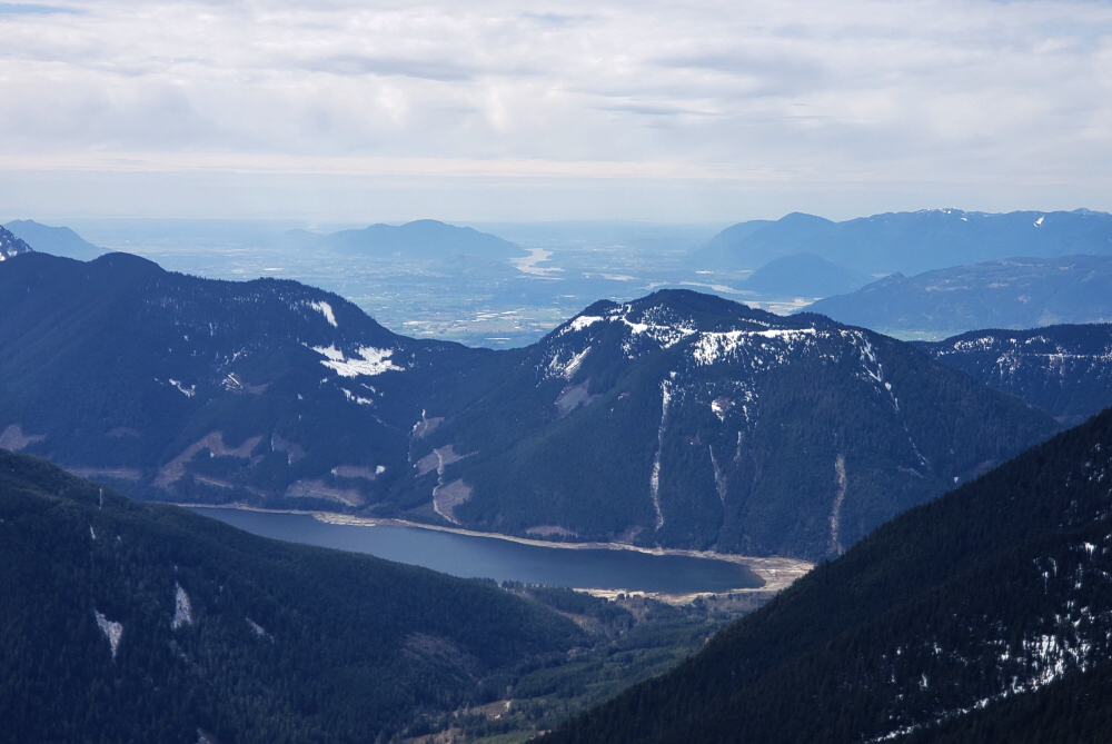
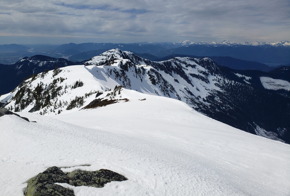
South of Phoenix, where we went first, our itinerary included Picacho Peak and State Park followed by Kitt Peak National Observatory and Wrightson Peak. We had designs on climbing the iconic Baboquivari Peak but nixed those plans shortly before departing YVR to avoid packing along the extra climbing gear necessary to safely ascend the peak. Kinda regret that decision, but we would have been strapped for time in completing some of our other objectives had we gone for it anyway. It'll be there for when we inevitably come back for round two! Heading back north, we spent a day exploring Tucson Mountain Park and Saguaro National Park (west) leaving a hike up Wasson Peak for another time as it was already quite hot out. Then off to Valley of the Sun for a scorcher of a hike up the highest in the Superstition Mountains, Superstition Peak. Continued north to Sedona next, bagging Bear Mountain, a peak with arguably the best views of the Red Rock area Sedona is famous for. Up to Flagstaff after Bear to bag Mount Humphreys, hiking on snow from the moment we left the trailhead! Only party out on this day, so I assume most leave it for later in the season.
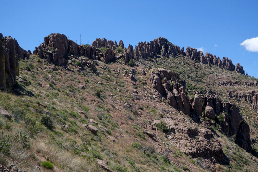
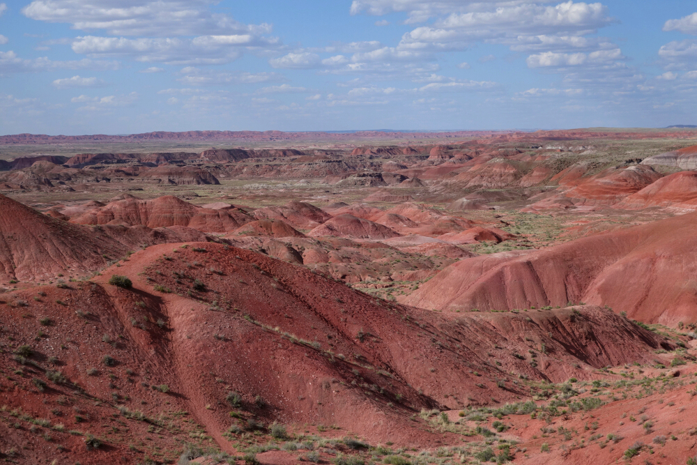
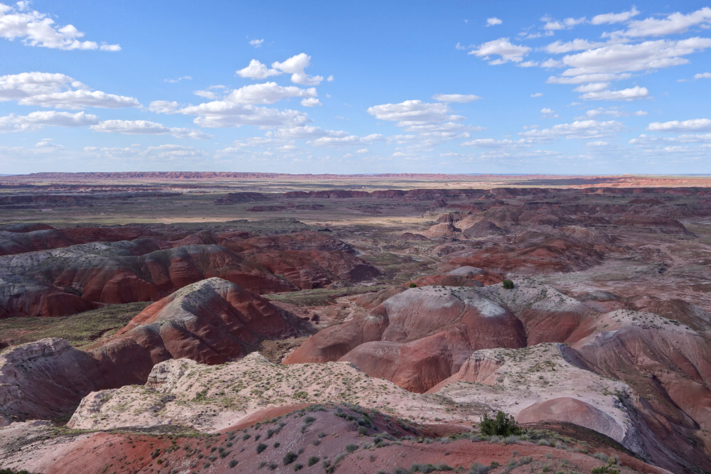
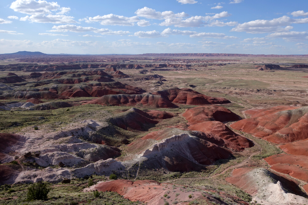
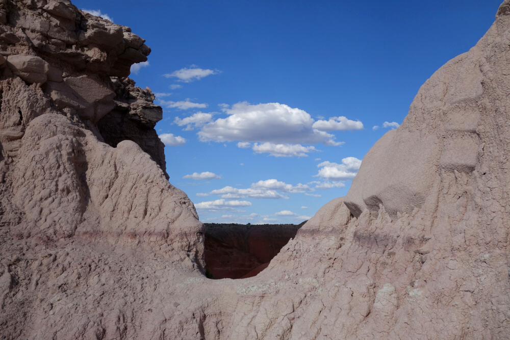
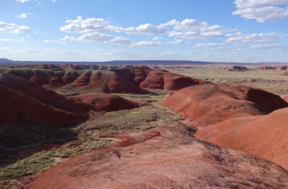
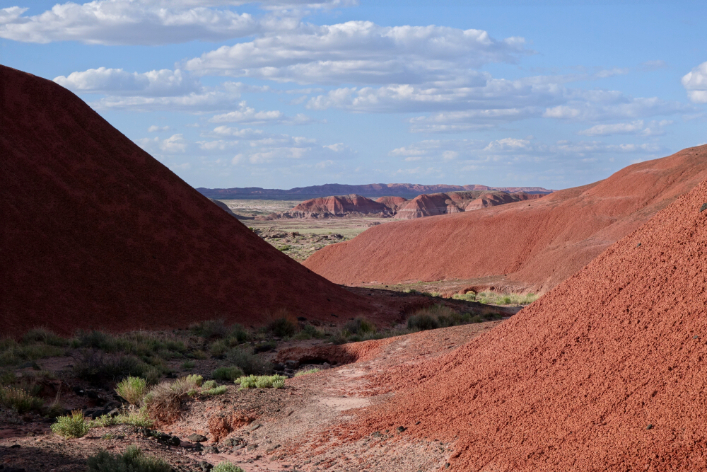
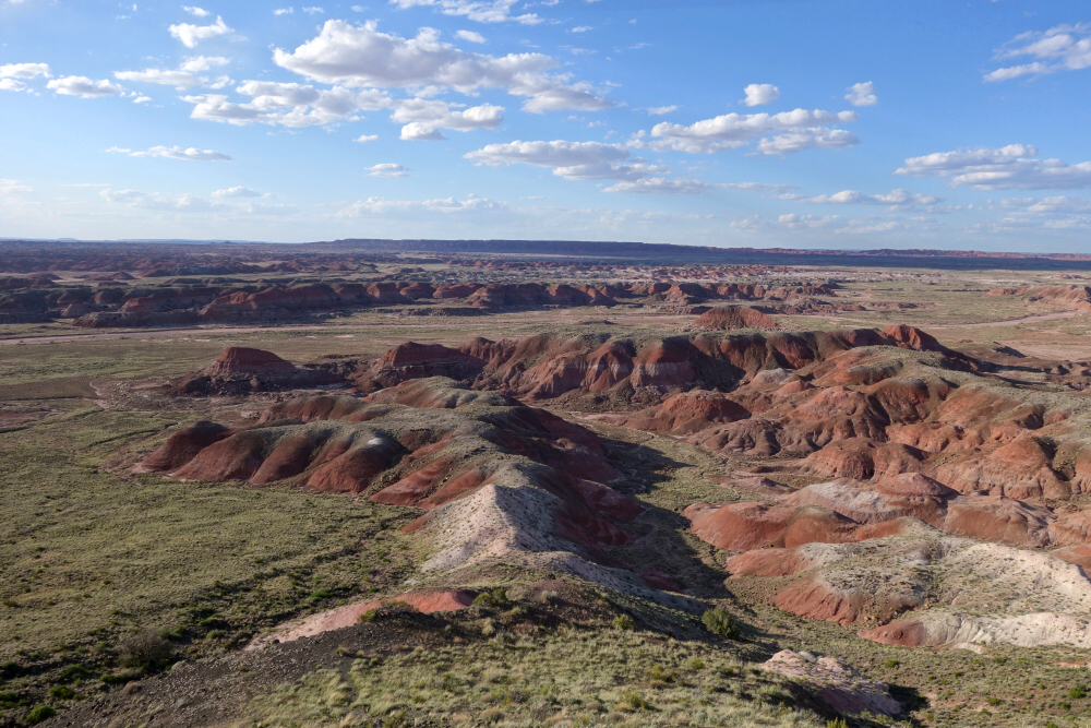
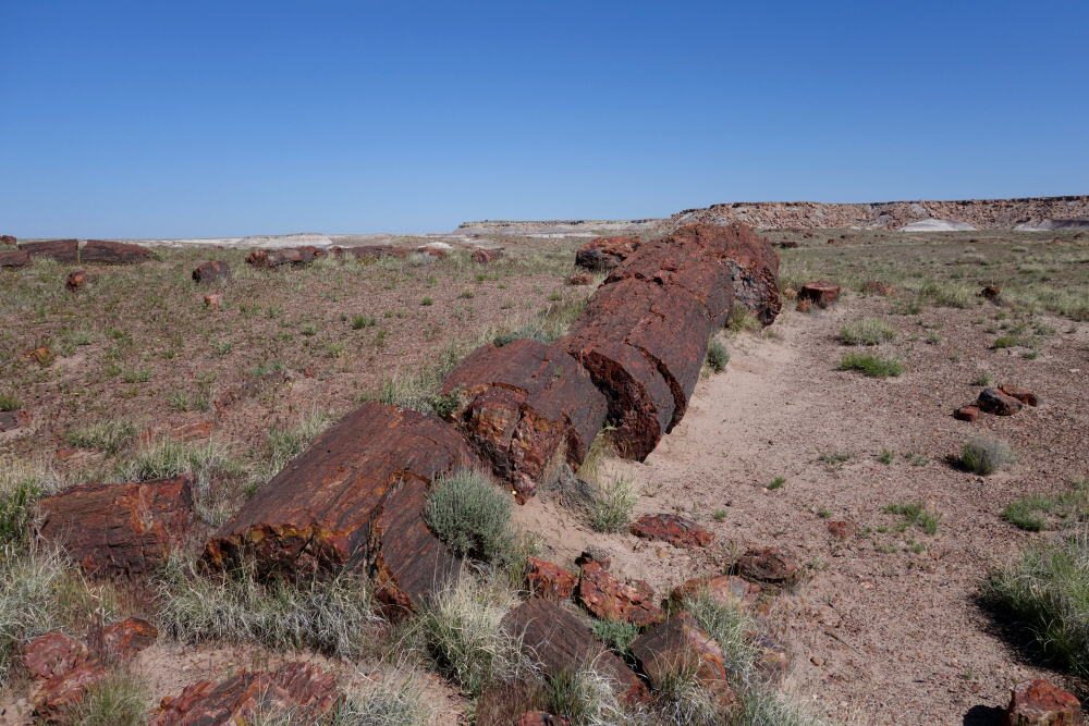
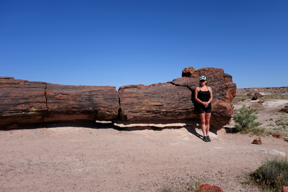
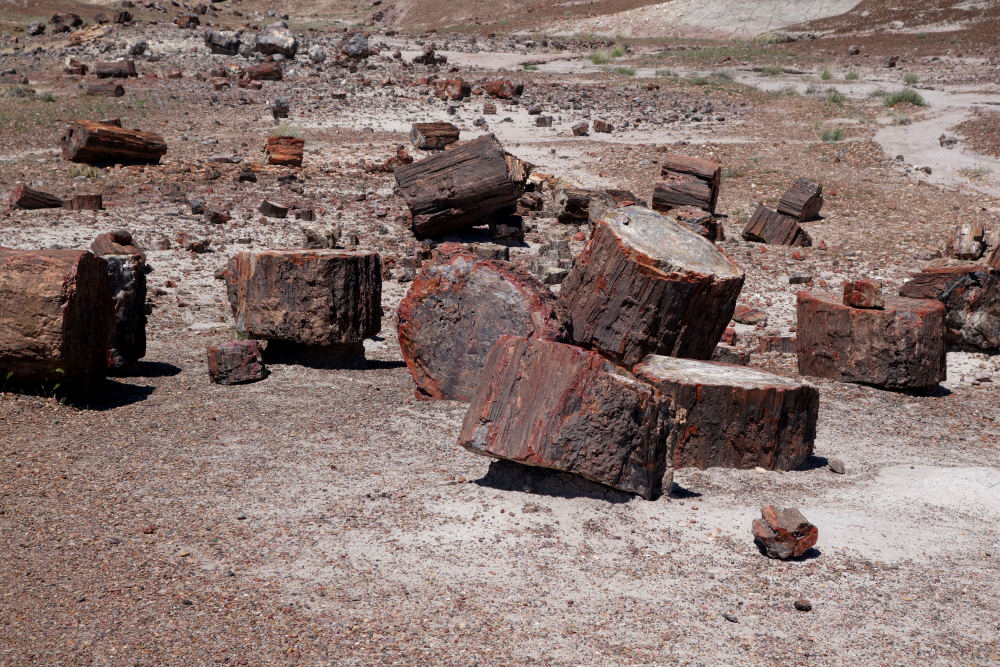
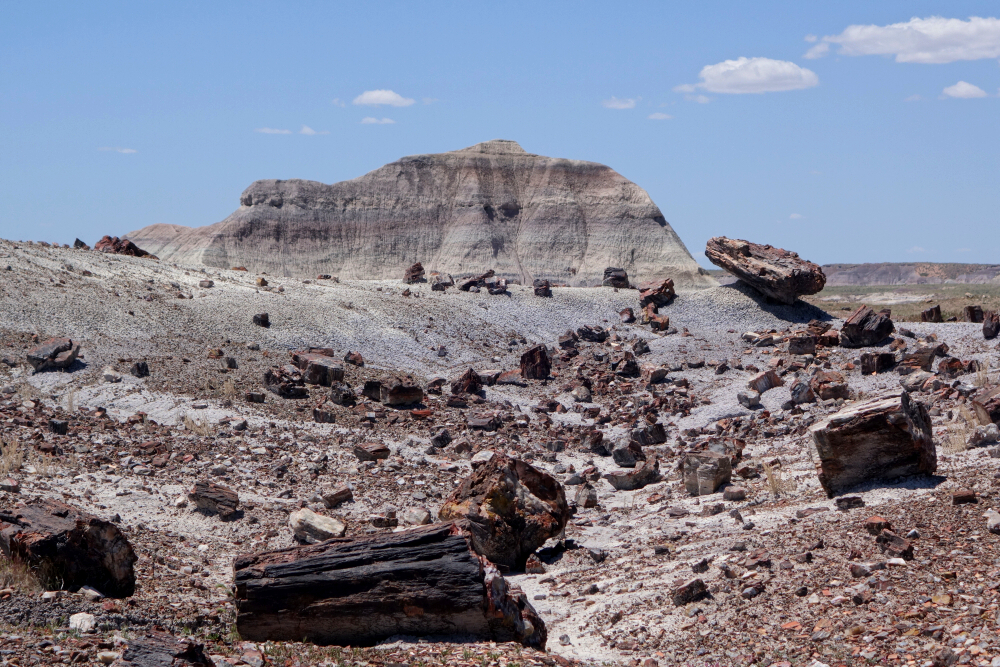
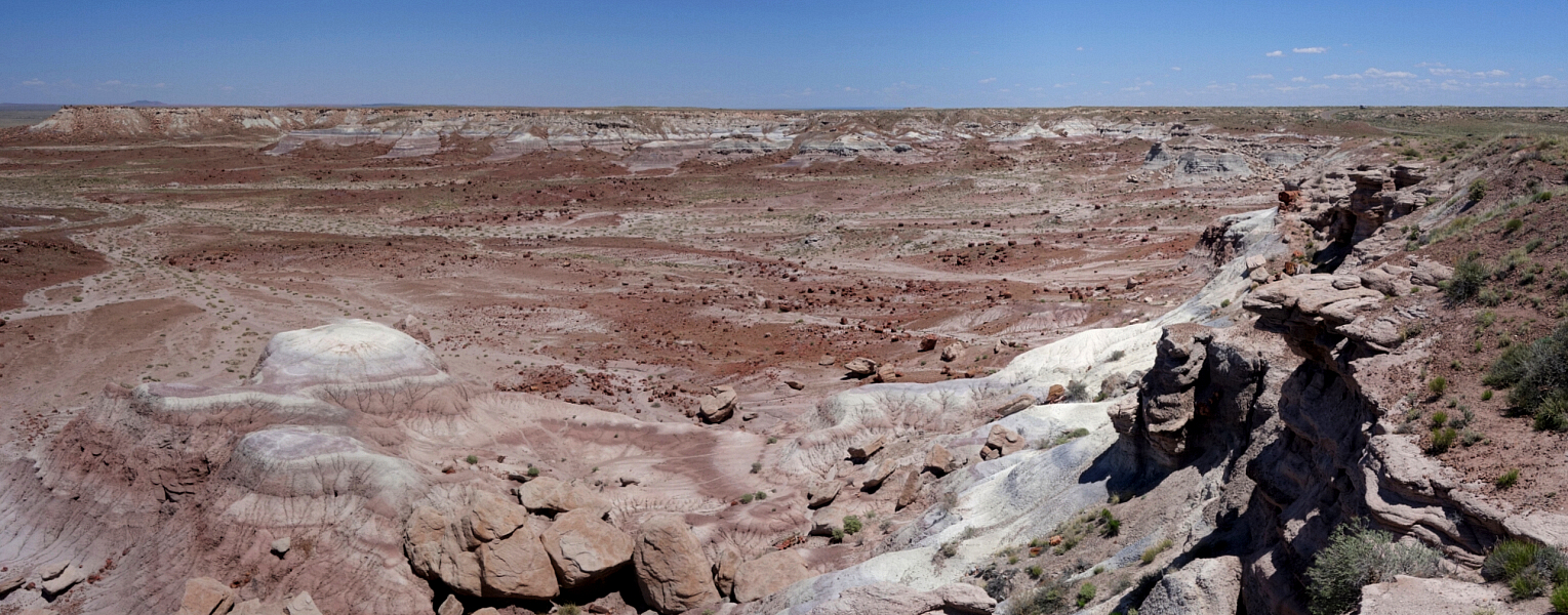
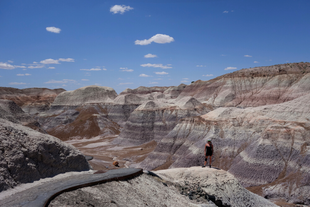
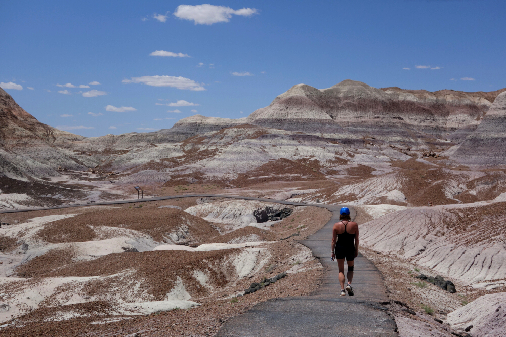
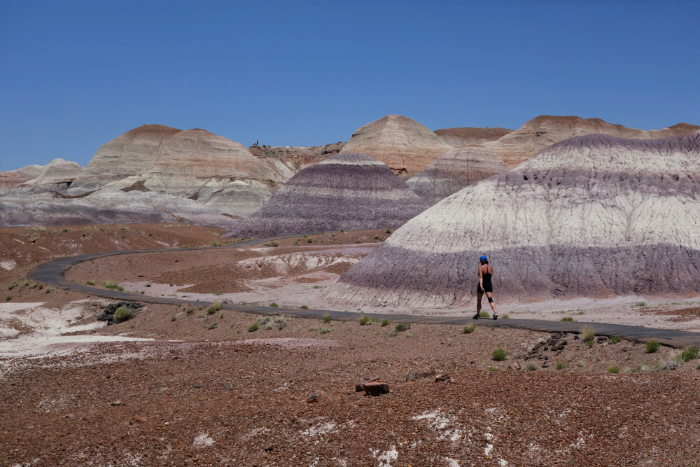
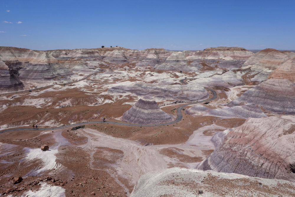
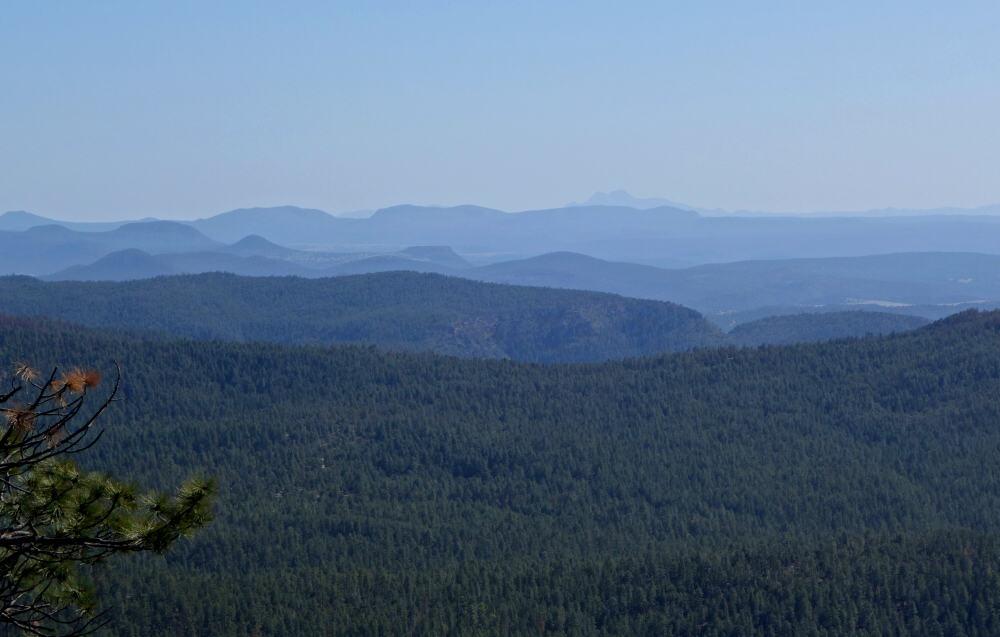
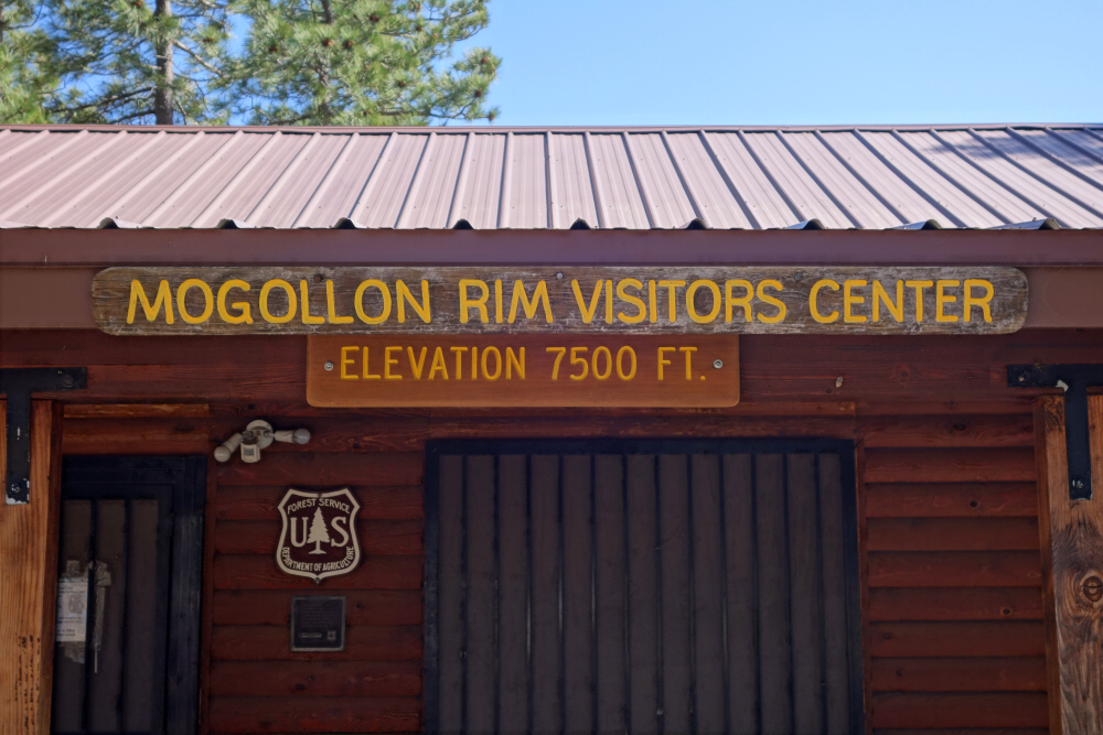
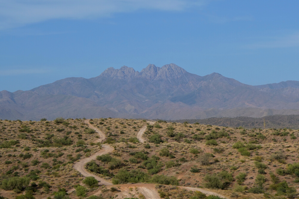
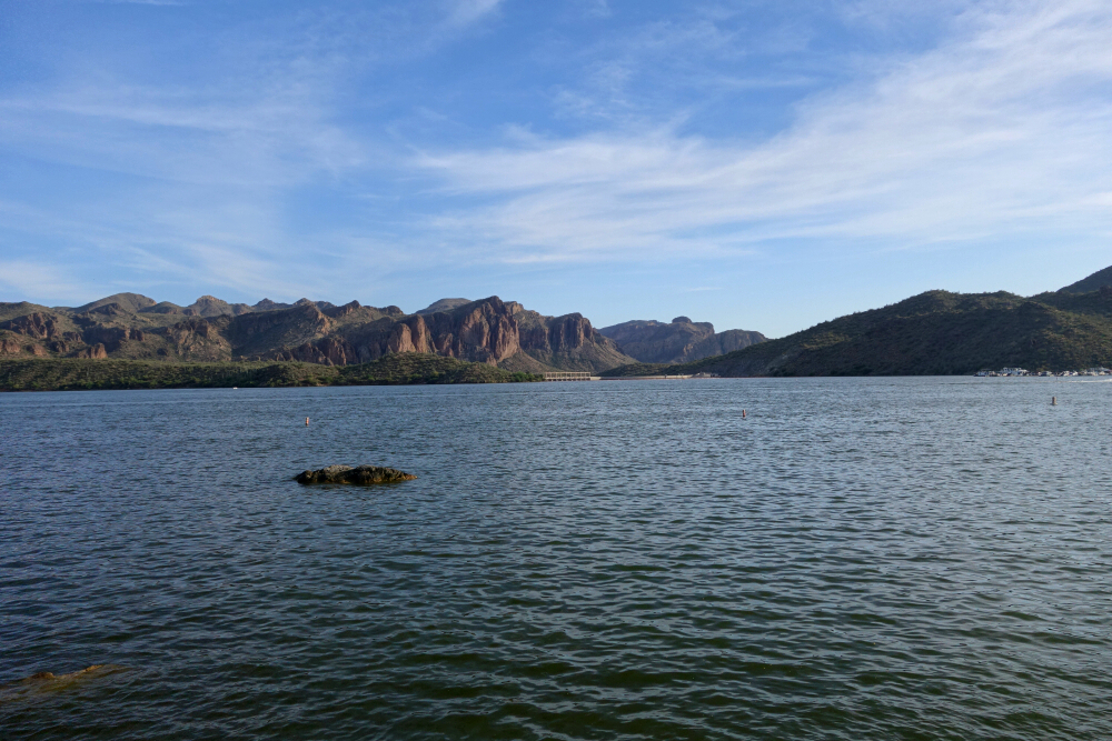
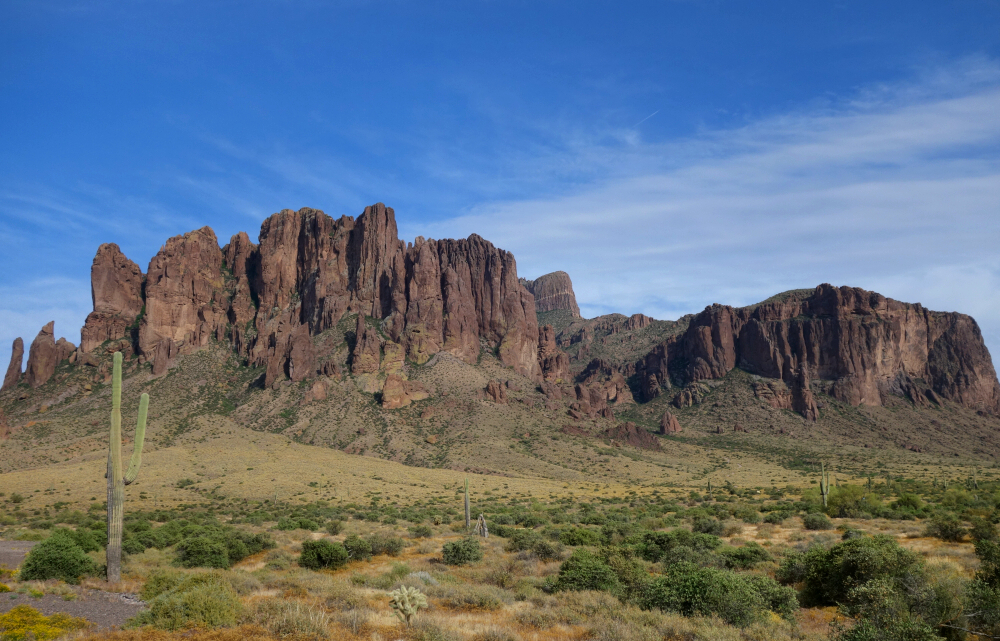
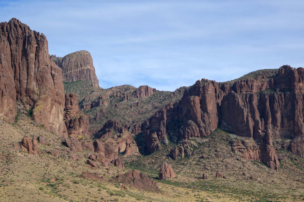
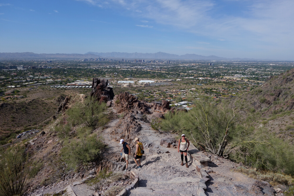
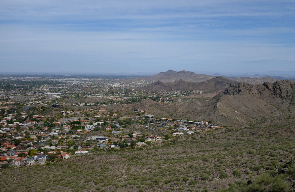
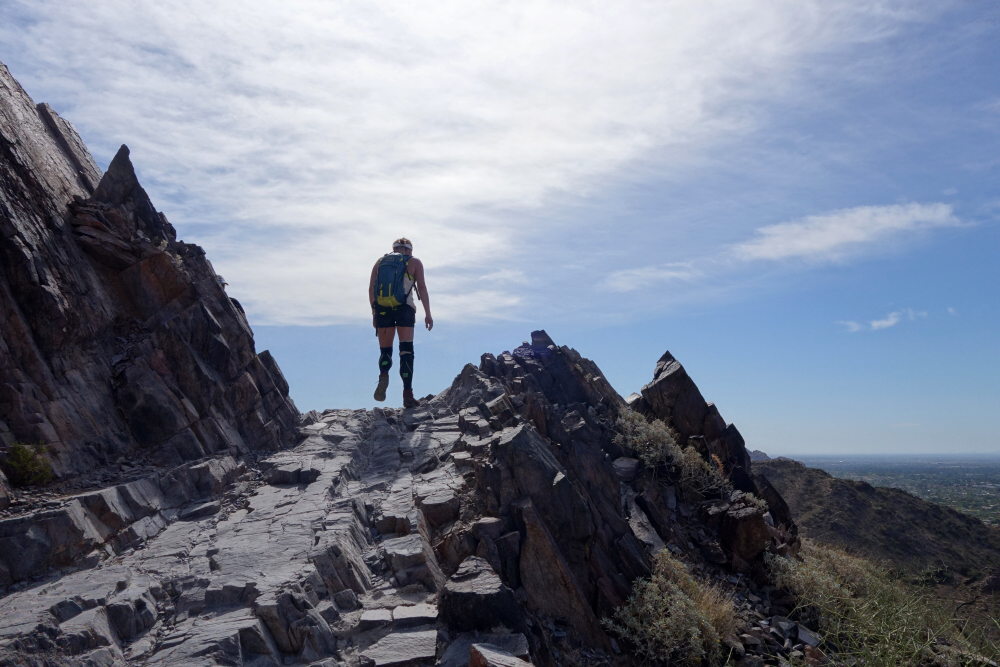
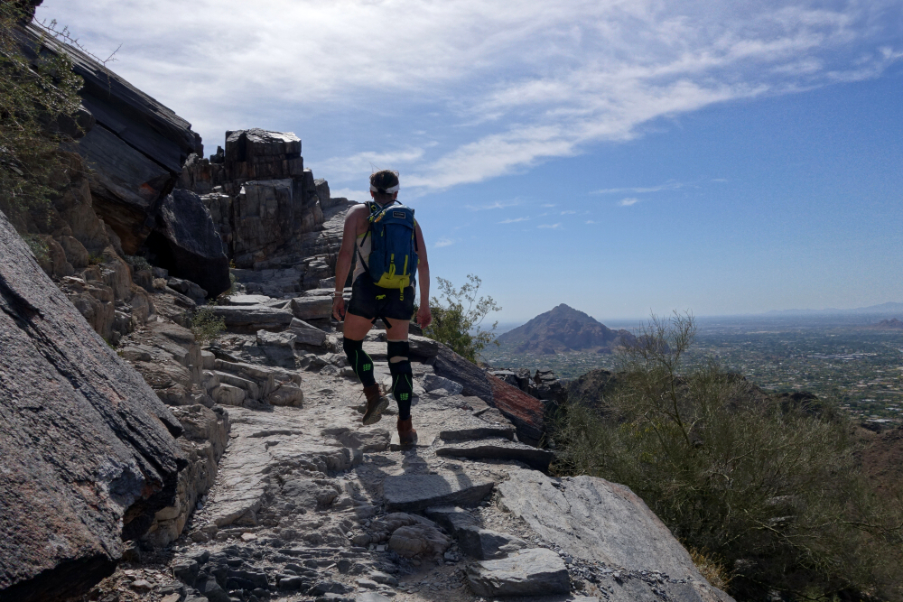
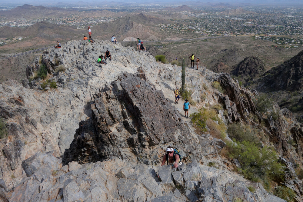
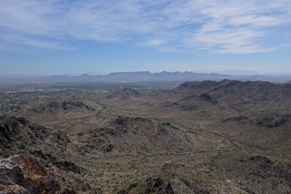
With all our primary objectives out of the way following our ascent of Humphreys, we decided to take it easy and continued east to check out Petrified Forest National Park. Didn't quite know what to expect, but boy are we sure we made the time to visit! Highly recommended if you haven't yet been! With our return to Vancouver fast approaching, we made the long drive back to the Phoenix area via Mogollon Rim and Salt River before calling it a night at Lost Dutchman State Park. Ducked in for a couple pints at the pub at Goldfield Station just across the street and quietly began scheming a hike up The Flatiron. It's impossible to miss from the patio, the peak and its many towers rises prominently from beyond the campground. But that too will have to wait for next time, as it was getting uncomfortably hot out by this point and we had plans for a short rip up Piestewa Peak the next day as it was. All-in-all, a banger of a trip through the uniquely beautiful AZ countryside. Can't think of a better shoulder season getaway than this!
![]()


