


Griswold Pass - Tuber Hill, Glacier View, Baryon, Muon, Meson & Lepton, September 2024

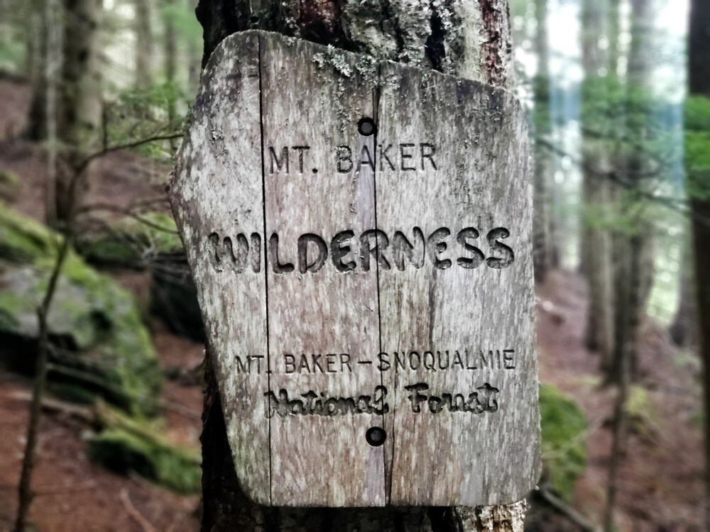
Finally made the journey out to Griswold Pass for a few days of exquisite alpine rambling! Officially part of the South Chilcotin Ranges, bound by the Lillooet River Valley to the south and the Nemaiah Valley (almost) far to the north, this is an incredibly remote area of pristine alpine beauty. The pass itself is situated among a cluster of peaks toward the headwaters of the Bridge River Valley, adjacent to the mighty Lillooet Icefield, and serves as an excellent base camp for adventures further afield. Access to the zone is by way of the Lillooet River FSR, Hurley River FSR, and Bridge River FSR, for a whopping ~110 kilometres of travel over unpaved roads and about six hours from my home in North Vancouver. The trailhead lies a few paces from a small cabin tucked near the end of the road, some 60 kilometres from the nearest "town," assuming the community of Goldbridge qualifies for such a distinction. Aside from that, there is literally nothing but a mind-boggling wilderness of peaks, valleys, and icefields that seem to go on forever. It goes without saying that this place truly feels like the back of beyond, a big part of why I'd wanted to visit ever since first learning of it some years back.
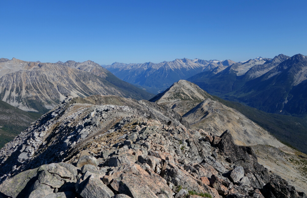
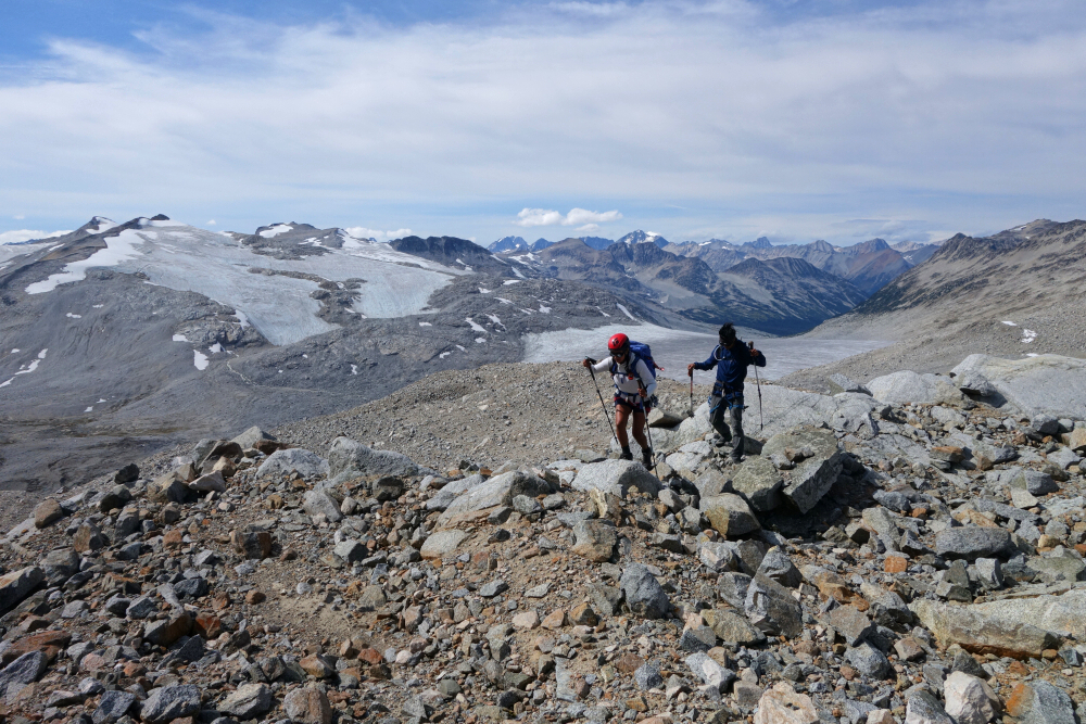
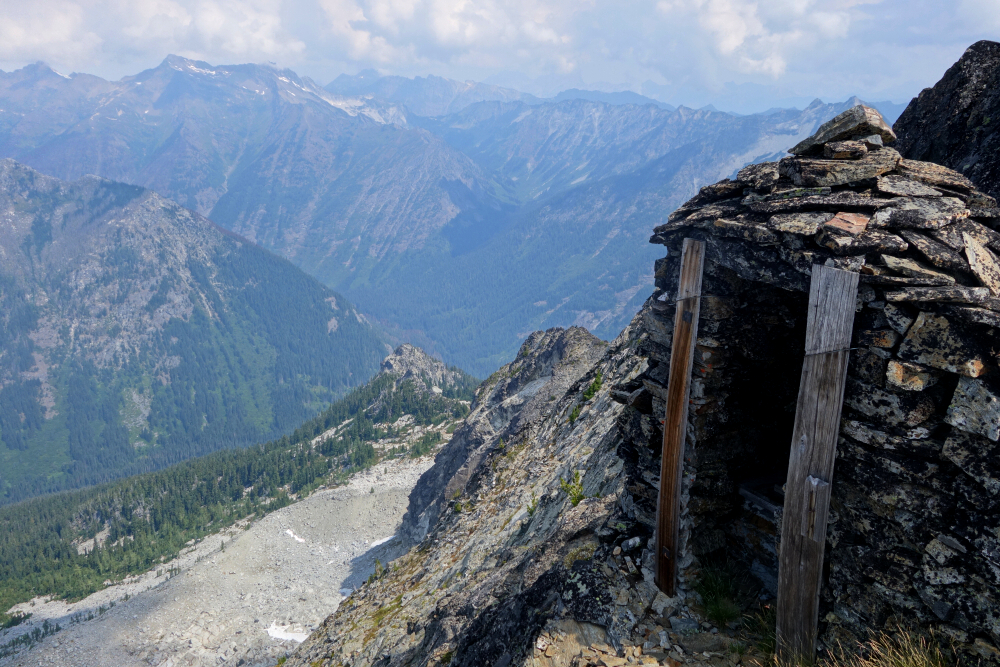
Wes and I had been discussing a trip out to Griswold Pass for some time and finally settled on making it happen over the Labour Day long weekend. We tossed around a few ideas for peaks to hike—something that would provide a good introduction to the area—and eventually settled on the "Subatomic Peaks" of Baryon, Meson, Muon, and Lepton, leaving Neutrino for another time perhaps. We also considered the pass's namesake, Griswold Peak, if time allowed, in addition to Tuber Hill and Glacier View Peak, both of which are easily bagged on the hike to camp at Griswold Pass proper. Proud to say we succeeded on all of the above except Griswold Peak, which would probably have been the least interesting of the lot anyway. Photos for this trip are organised by day and viewable by clicking the following links:
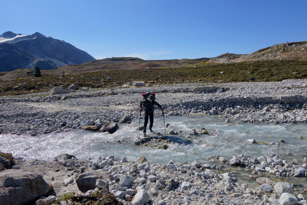
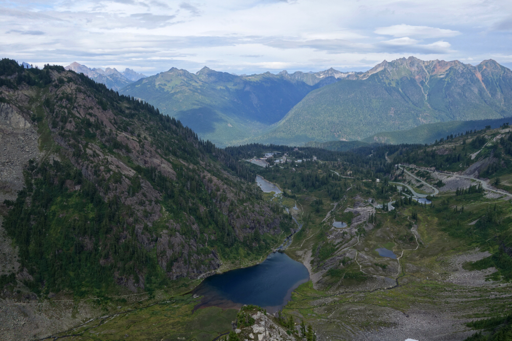
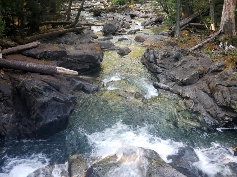
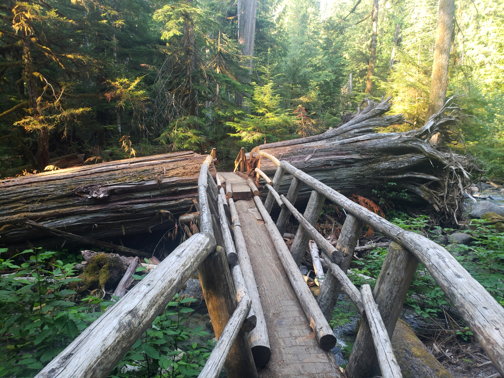
With Wes, Gabby, and Ross having departed the afternoon prior, Gina and I set out from North Vancouver on a fine September morning for the long drive up and over Railroad Pass toward the confluence of the Hurley and Bridge Rivers. Familiar territory for me, after so many peak-bagging trips in the Goldbridge area over the years. We turned left onto the Bridge River FSR, passed the spur used to access Mount Vayu almost 15 years ago now, and finally entered a new frontier. Many dusty kilometres of otherwise good travel brought us to the bridge over the river, followed by several more into the headwaters area, where the road proceeds a short distance northward into a tributary valley. A bit overgrown with water bars toward the end, but nothing the average SUV couldn't handle. I parked near a few other cars, one likely belonging to Ross, just steps from the cabin.
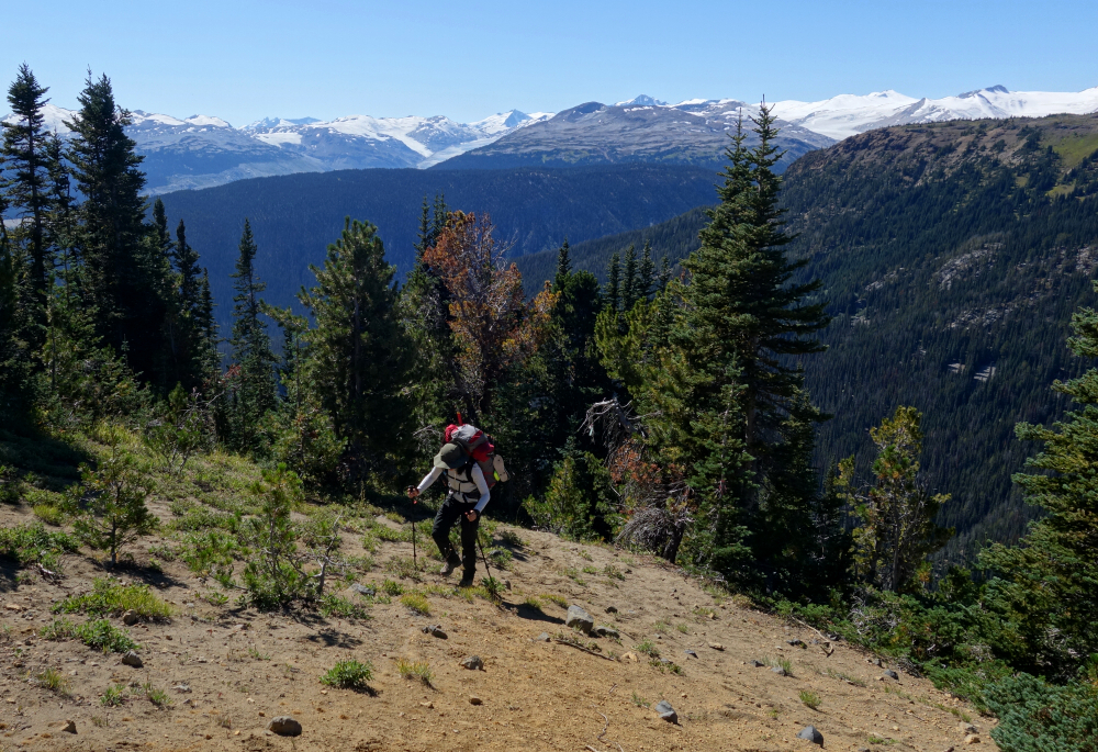
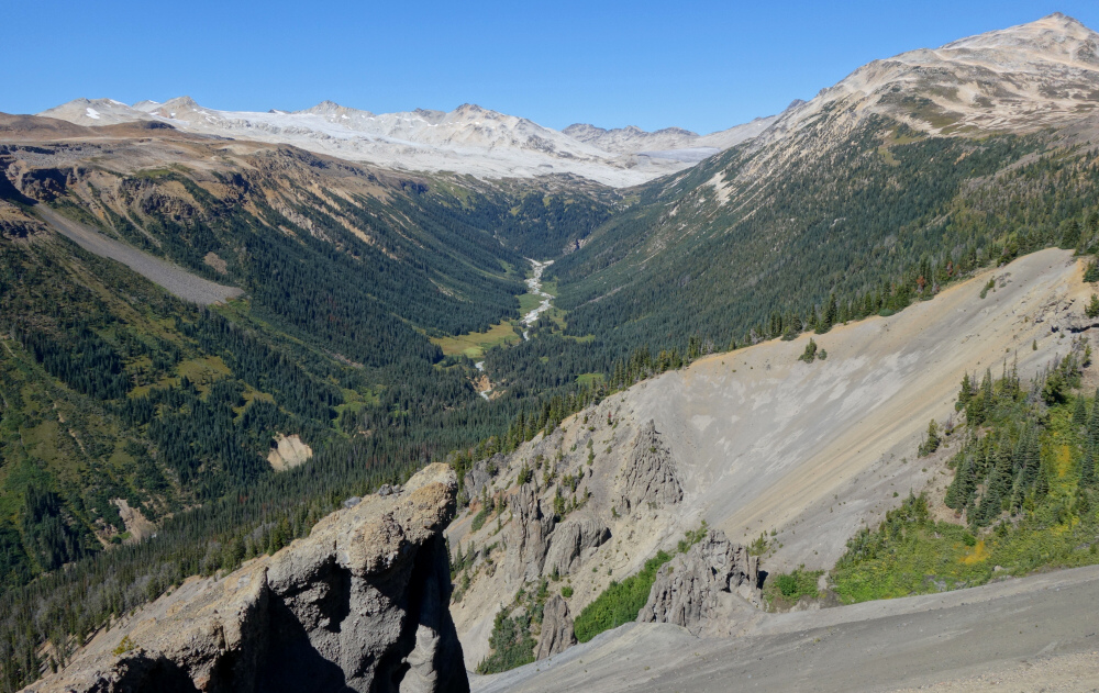
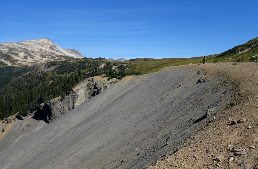
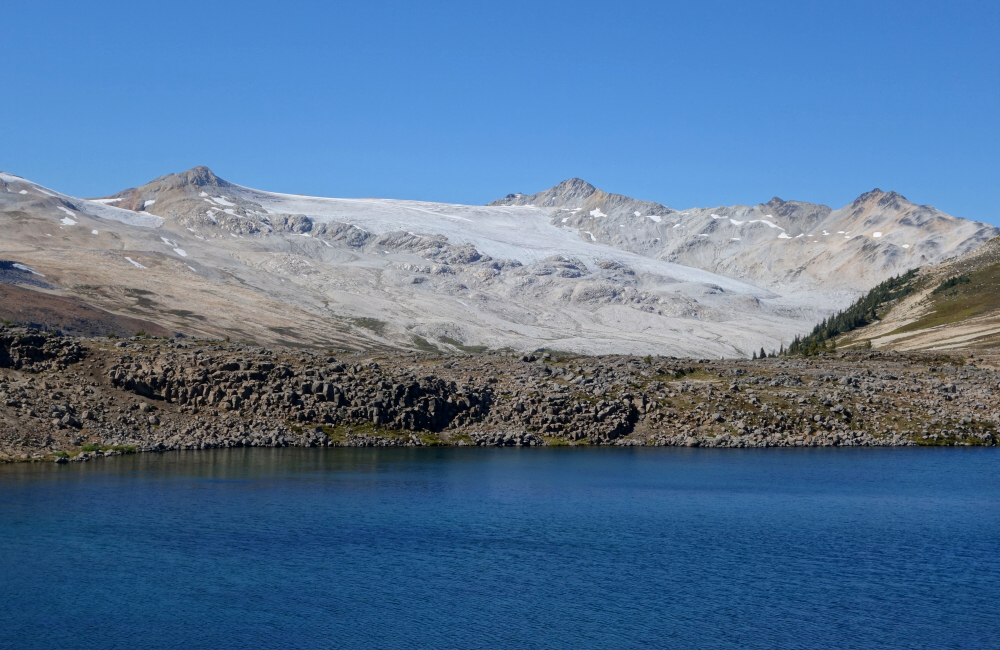
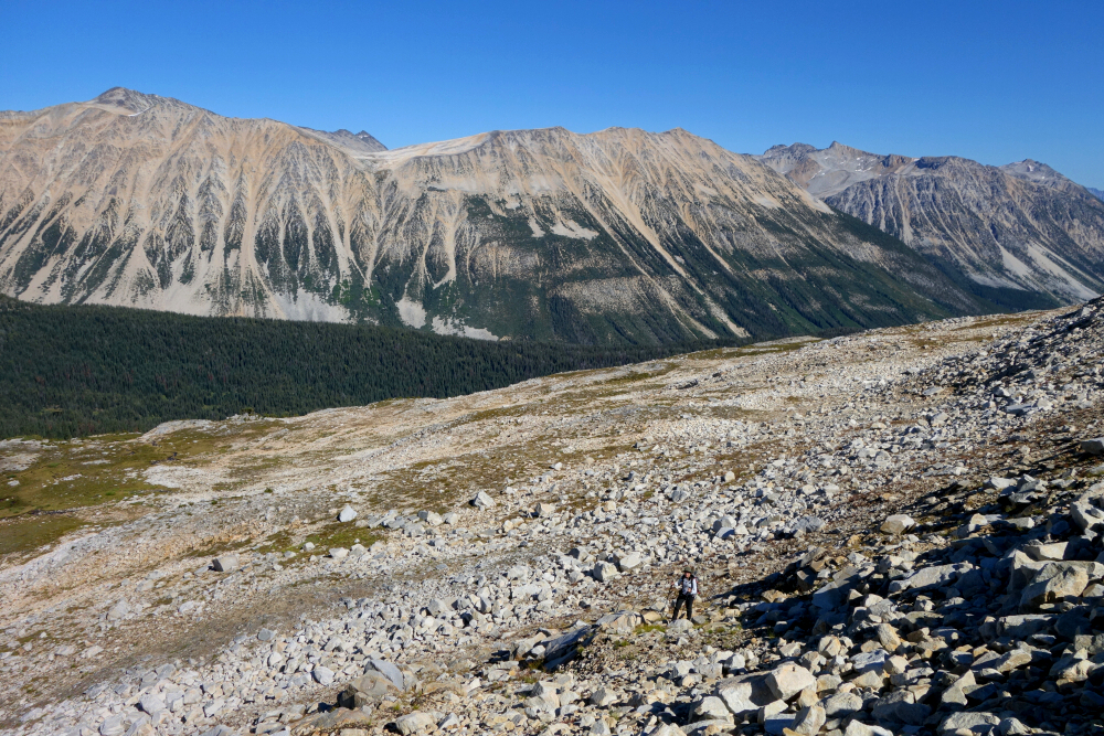
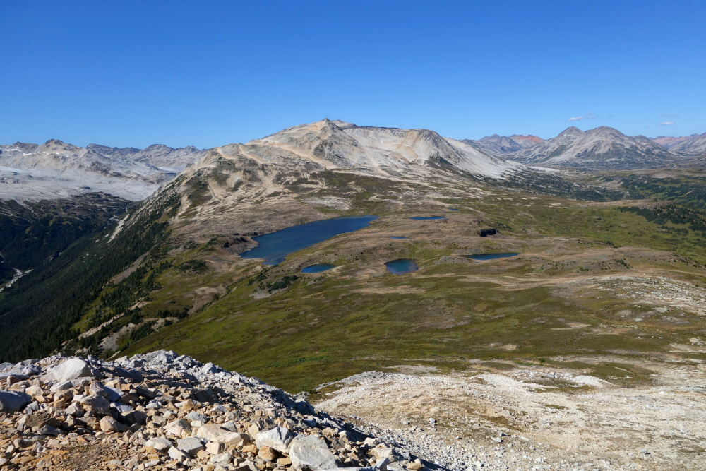
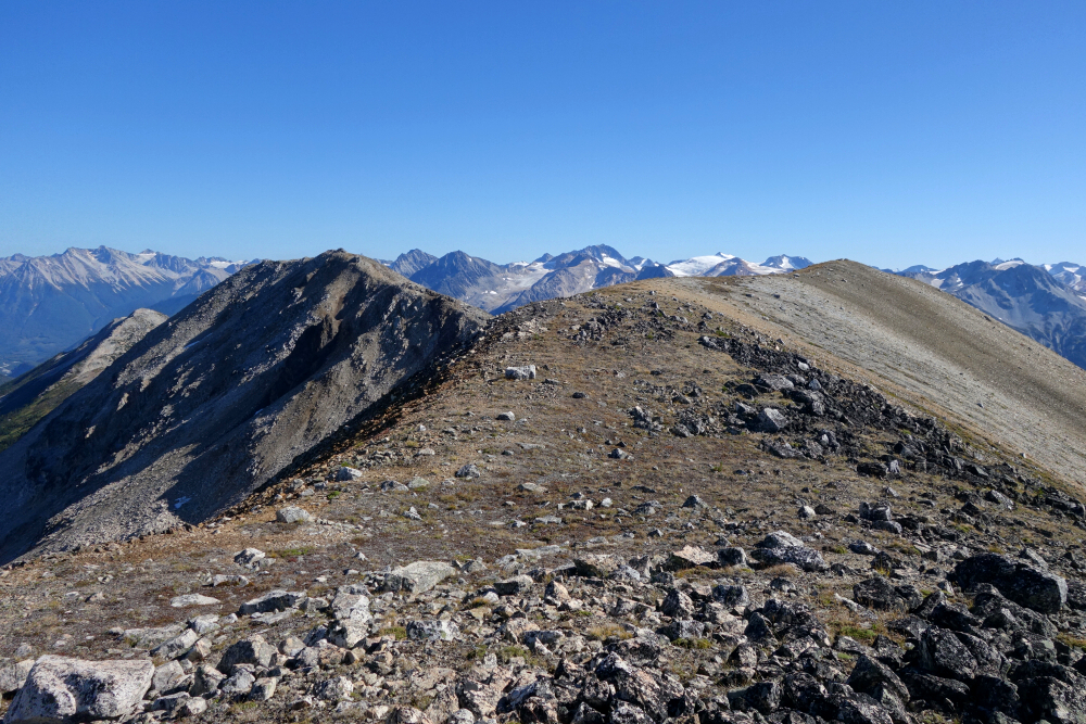
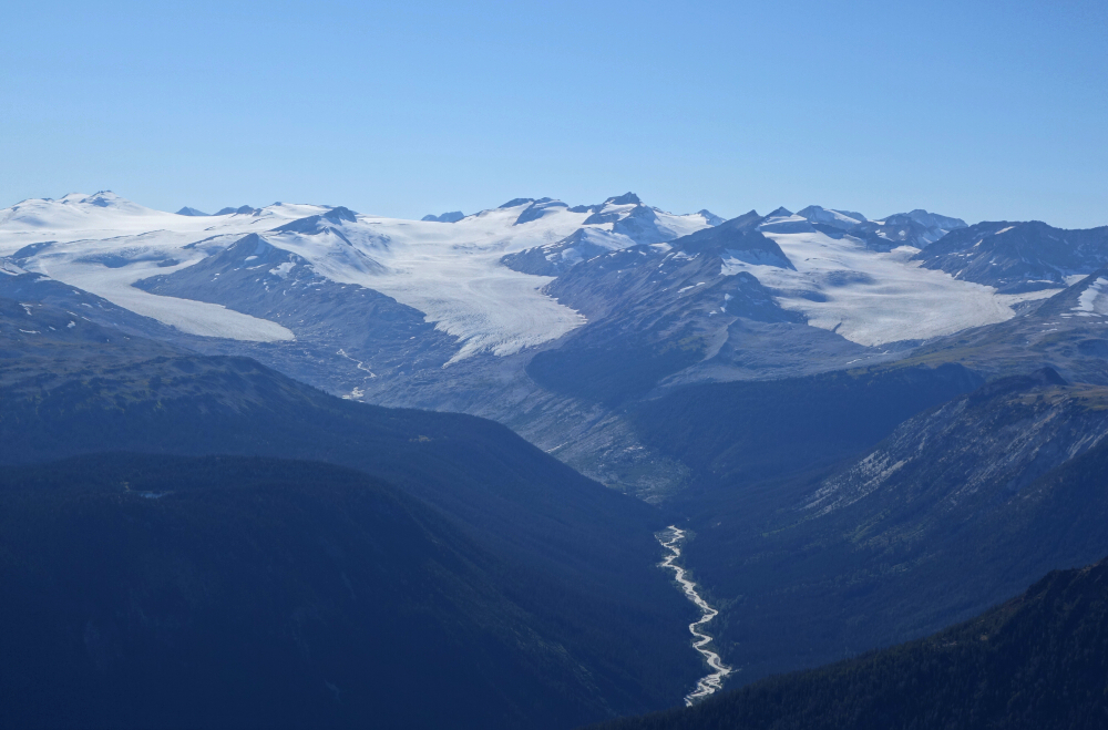
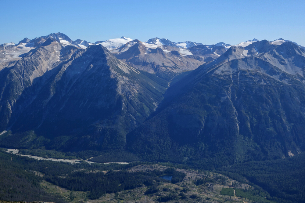
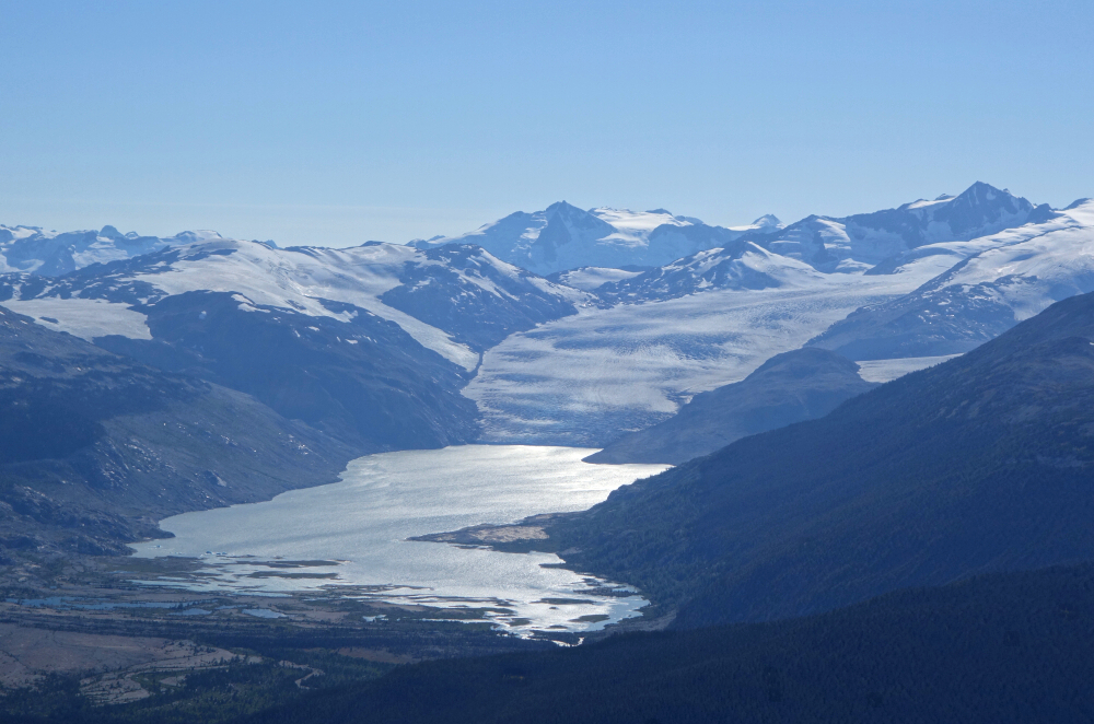
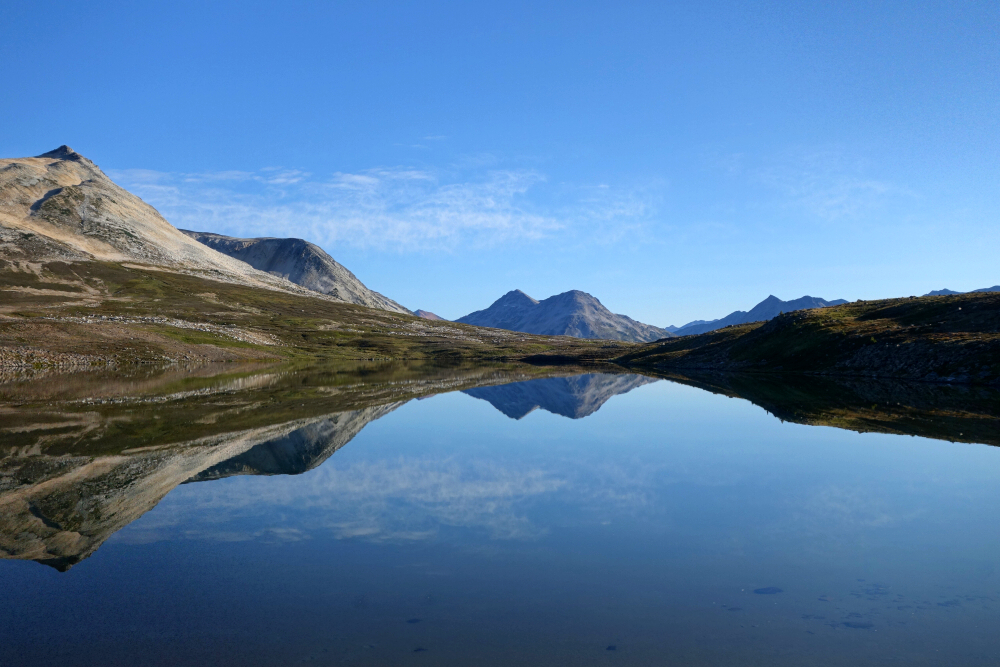
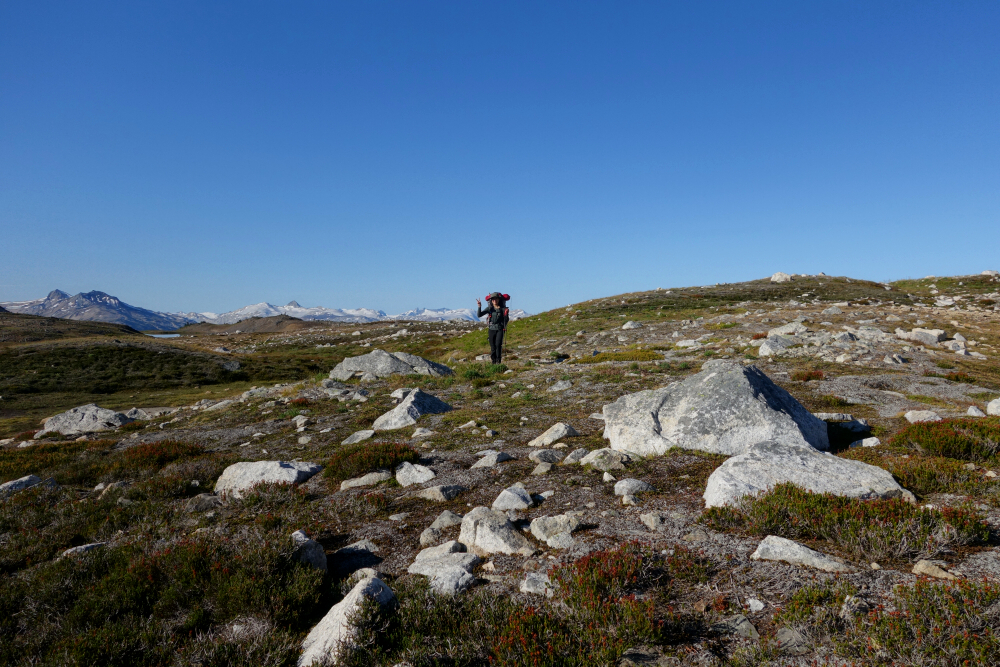
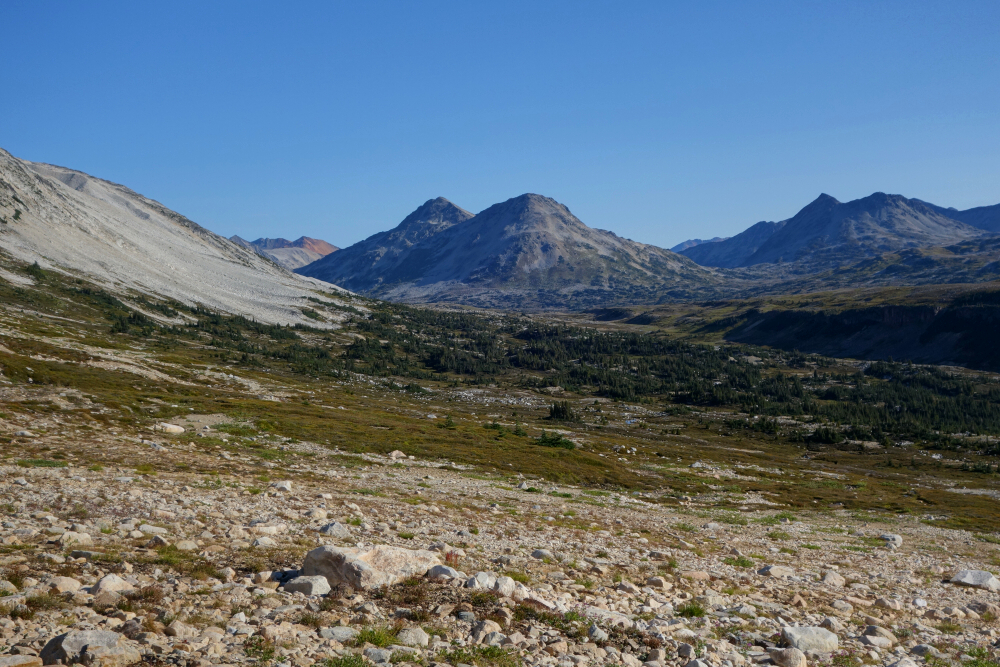
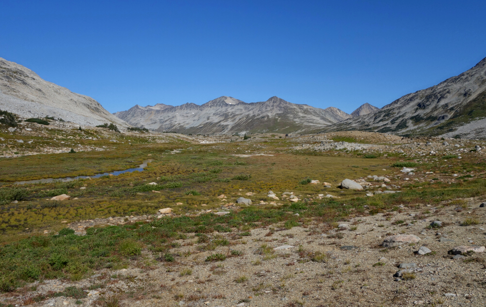
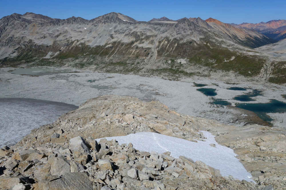
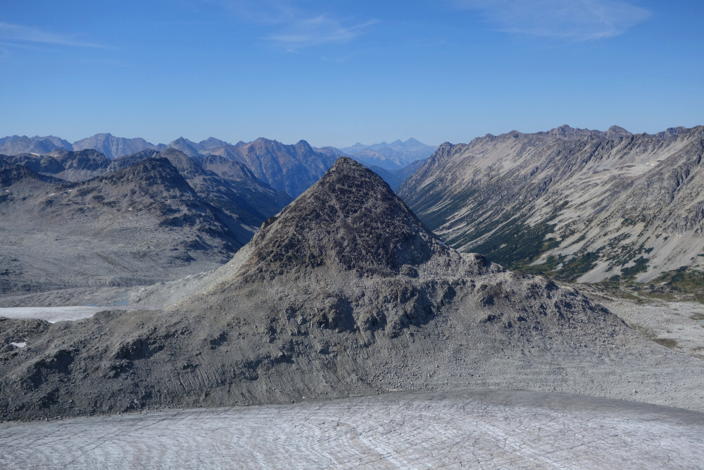
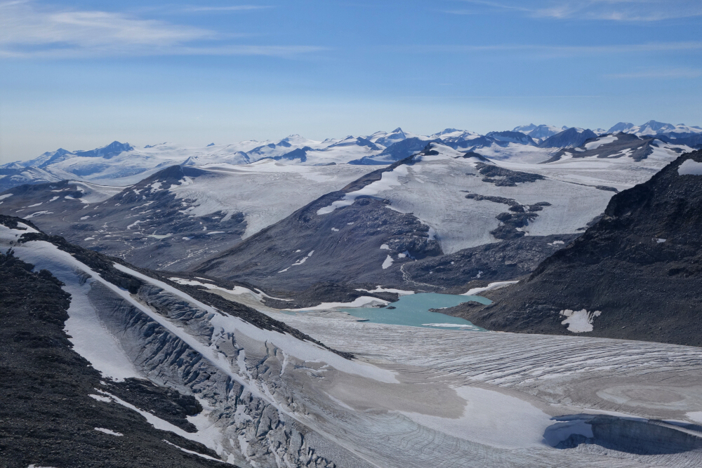
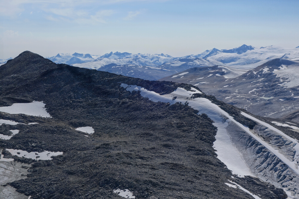
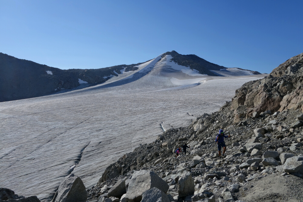
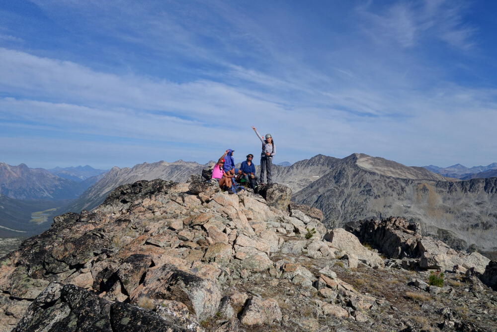
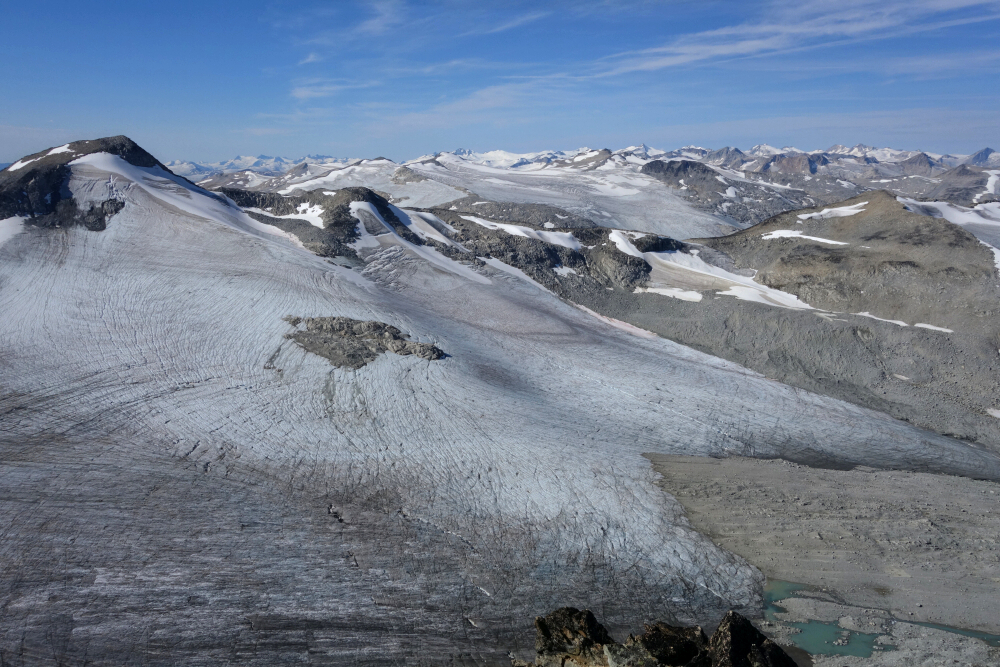
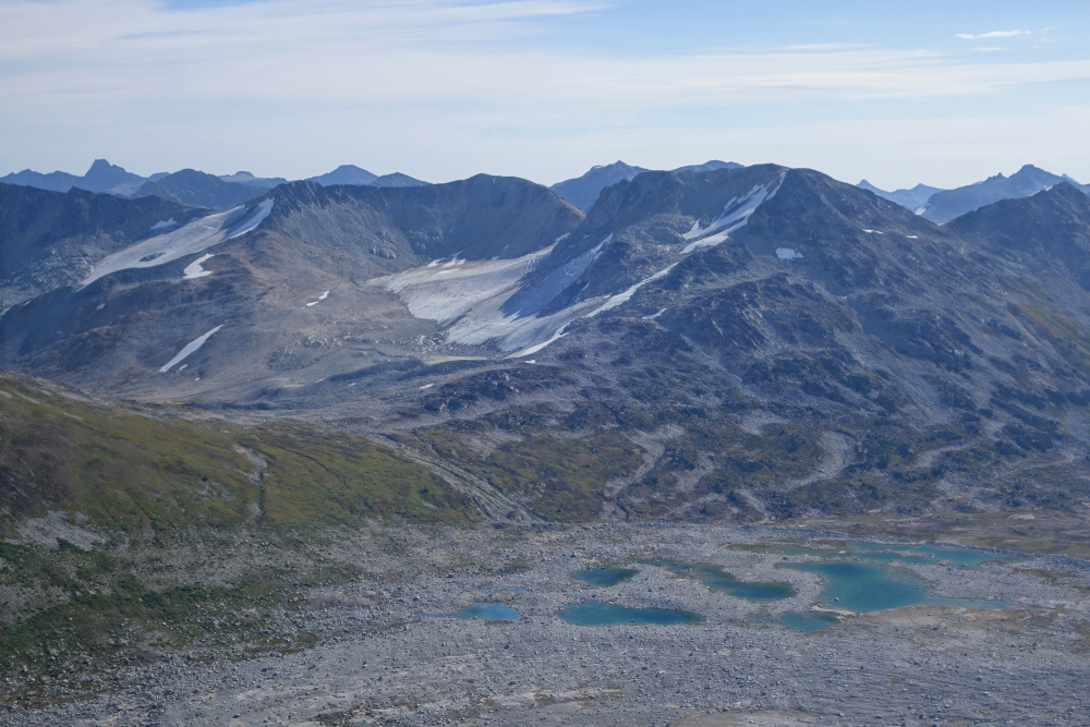
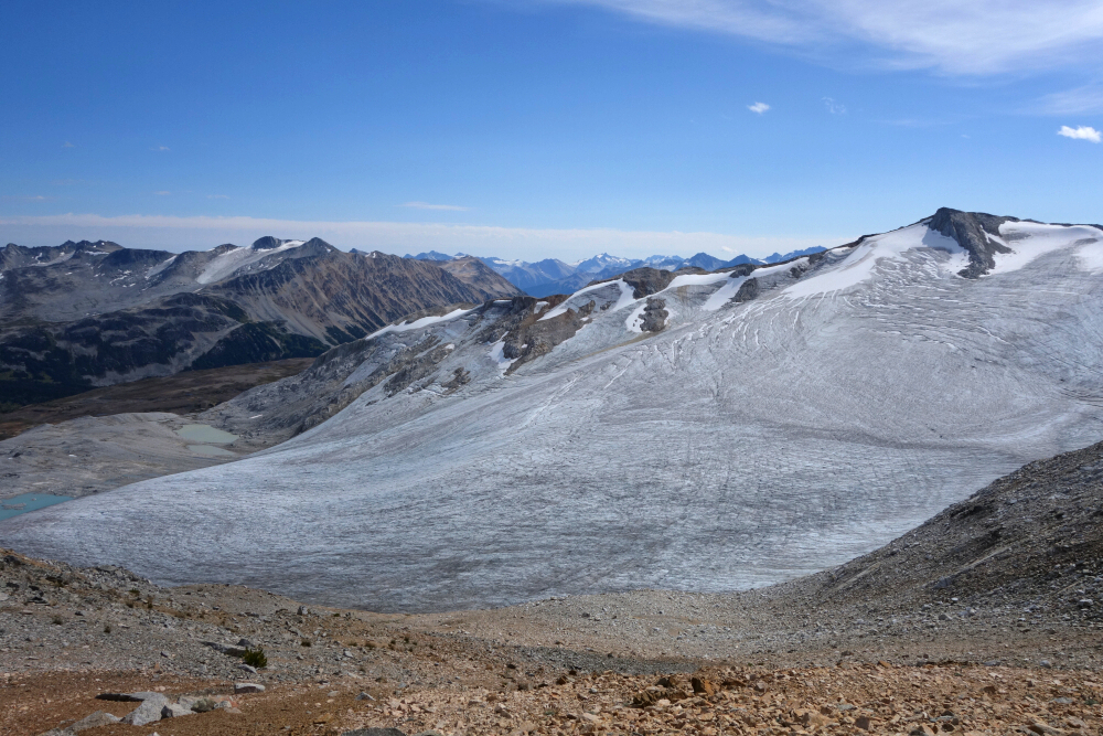
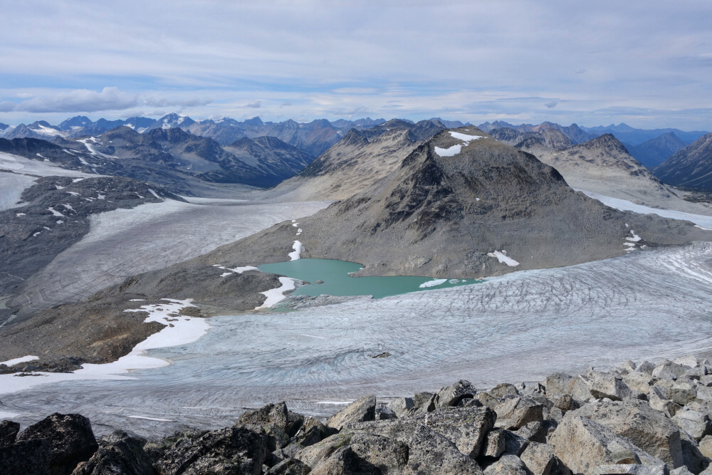
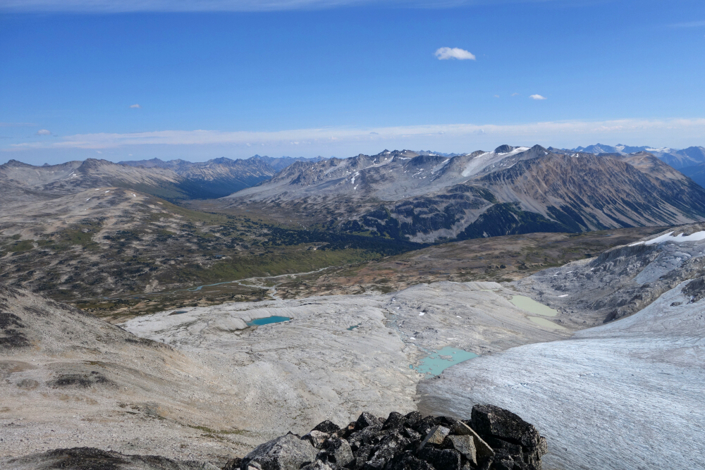
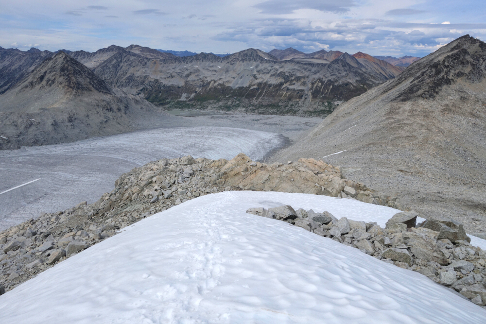
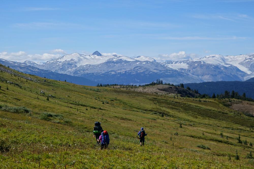
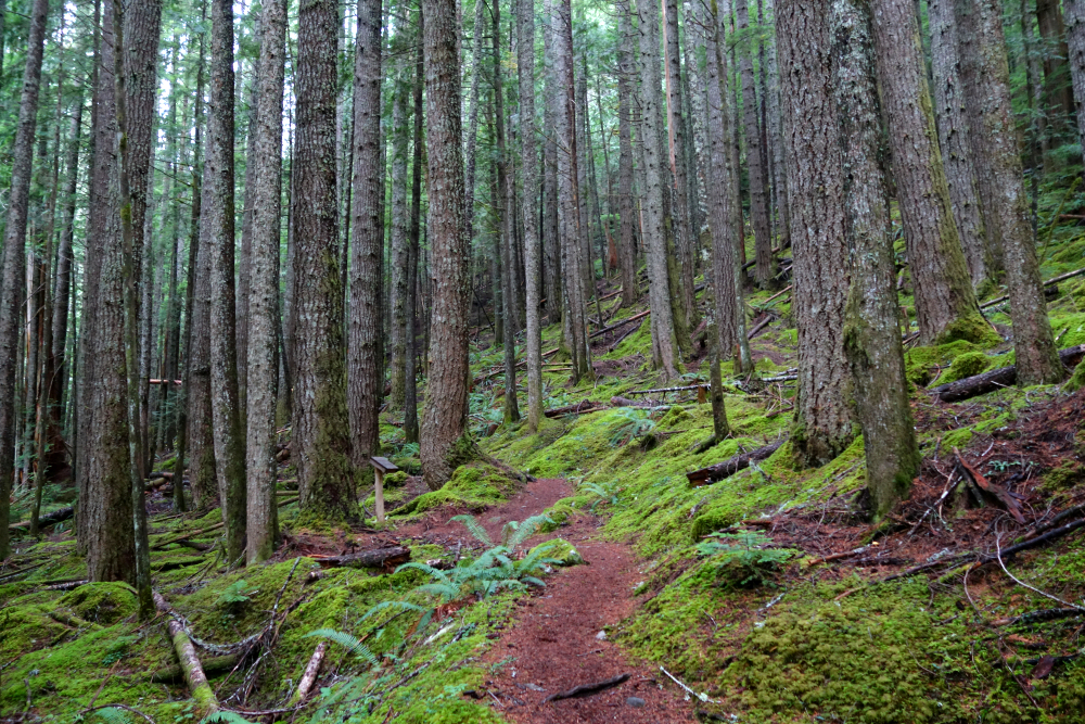
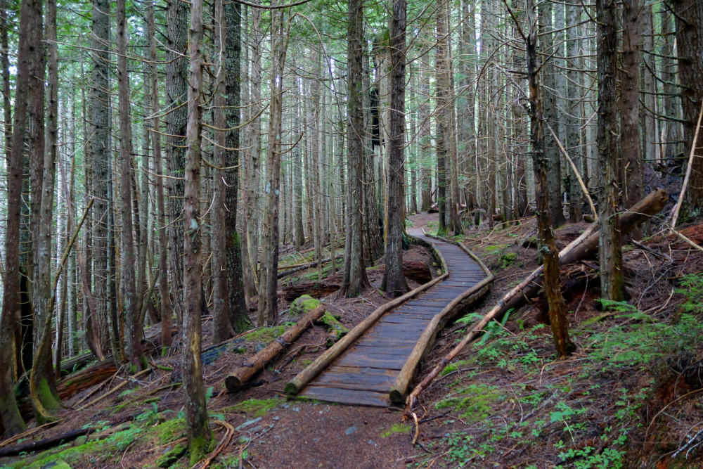
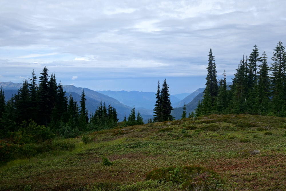
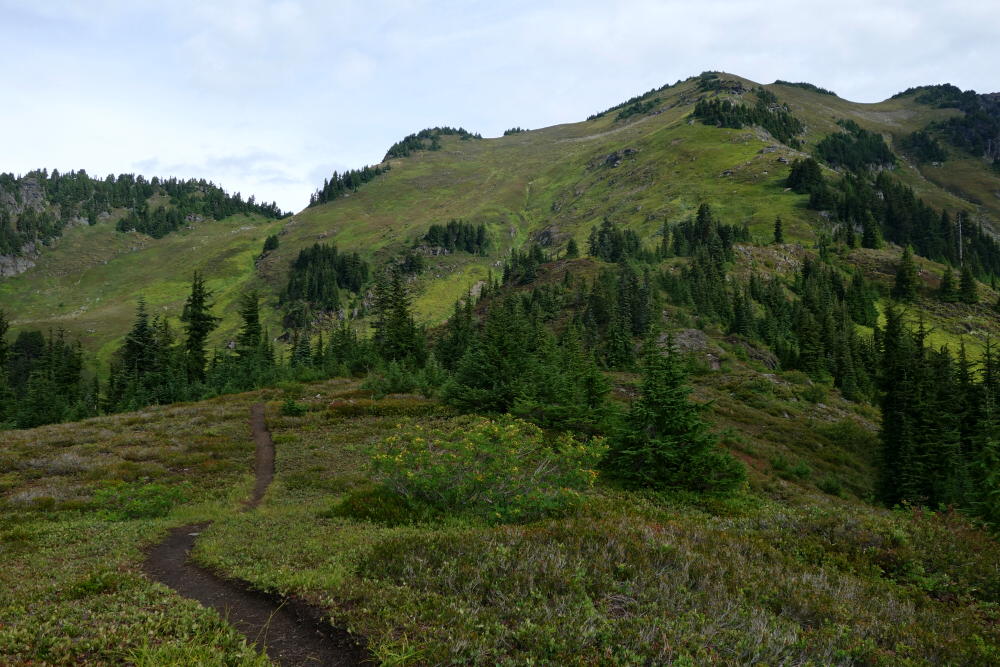
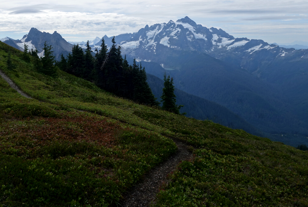
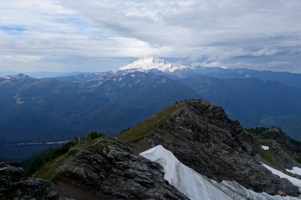
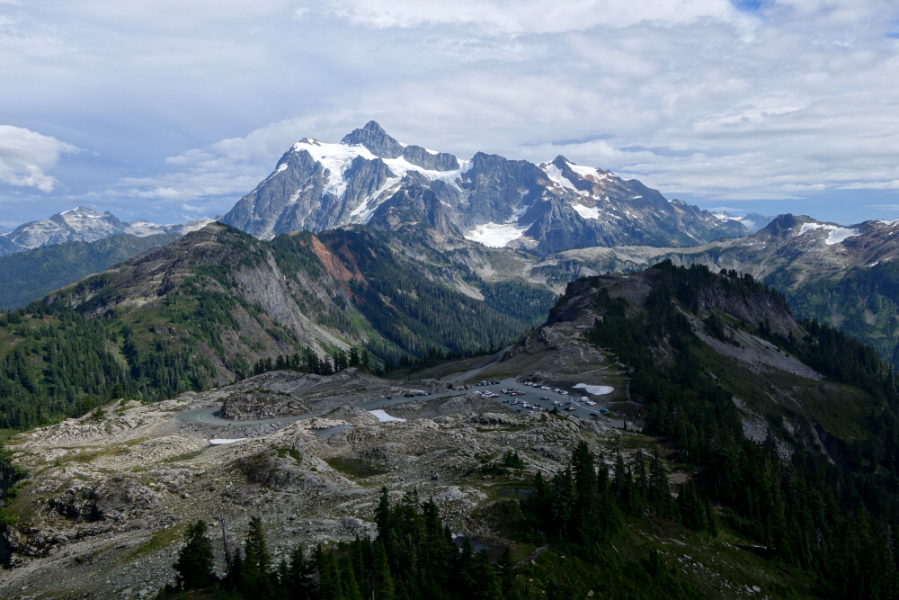
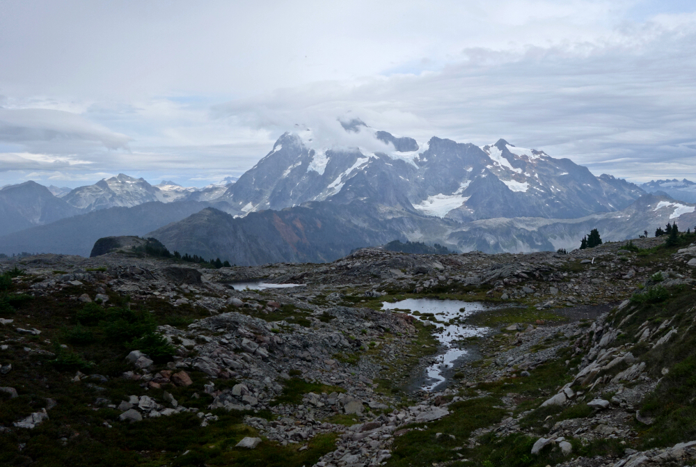
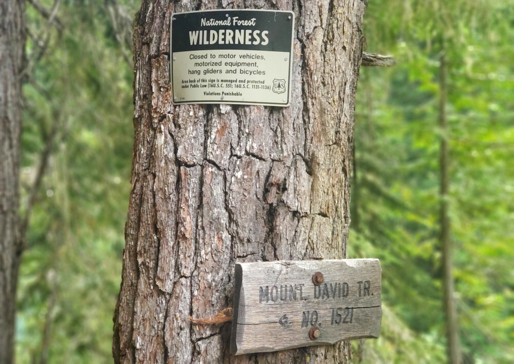
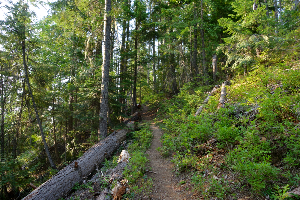
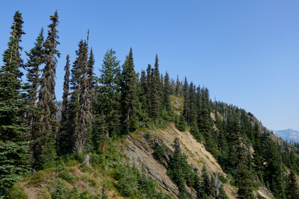
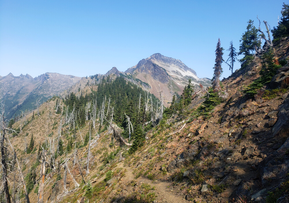
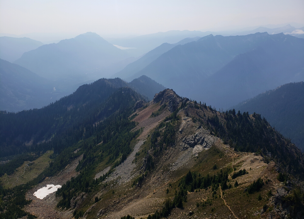
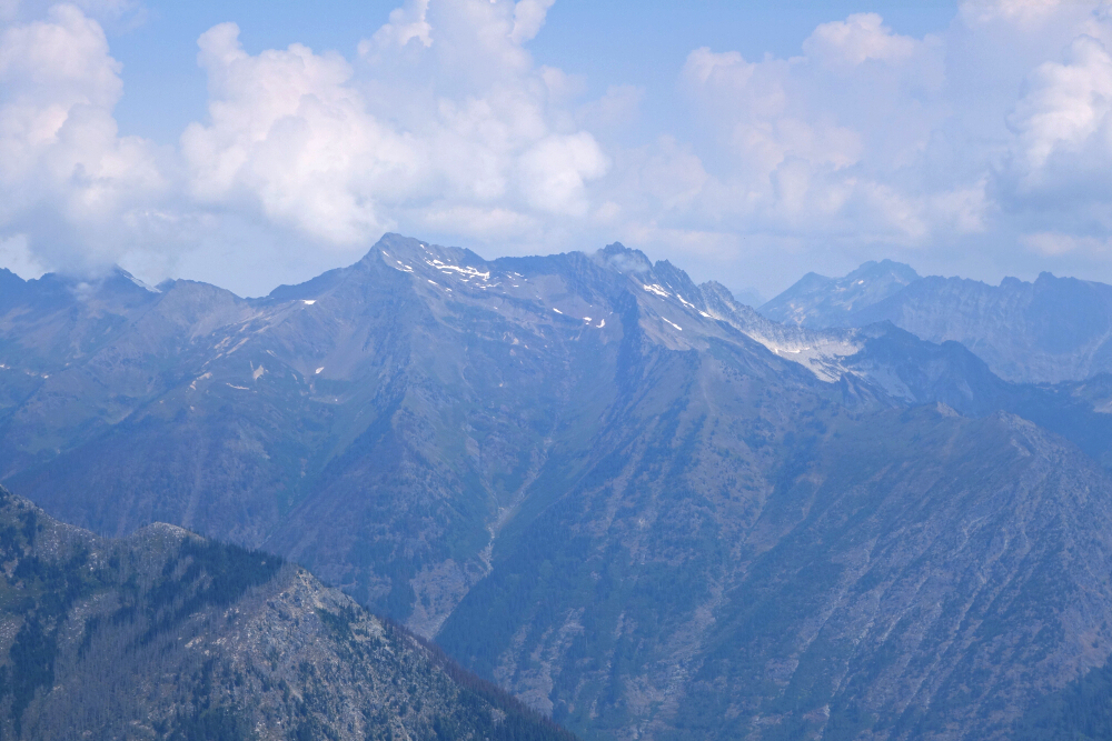
There's a minor fork in the road where we parked, the lower leading to the cabin and the upper directly to the flagged trail. Unaware of this, we decided to check out the cabin first before continuing beyond it toward a raging creek flowing down from above. We turned up alongside the creek and bushwhacked a short distance to intersect the trail as it climbed steeply through forest. Following the edge of a large ravine over loose volcanic gravel and pumice, we soon popped out above treeline and entered a beautiful meadow with views to infinity. Proceeding northward, we gained a broad saddle with several lakes and flat gravelly spots suitable for camp. We stopped to set up our tents for the night before embarking on a late-afternoon hike to nearby Tuber Hill and Glacier View Peak. An easy hike up talus led to the rounded summit of Tuber Hill before continuing on to the main course—Glacier View. As the name suggests, there's an outstanding view of the mighty Bridge Glacier from the summit, one of the largest lobes emanating from the Lillooet Icefield directly west of us. Plenty of other glaciers were on display as well, along with a good look toward Griswold Pass, where we'd be headed next.
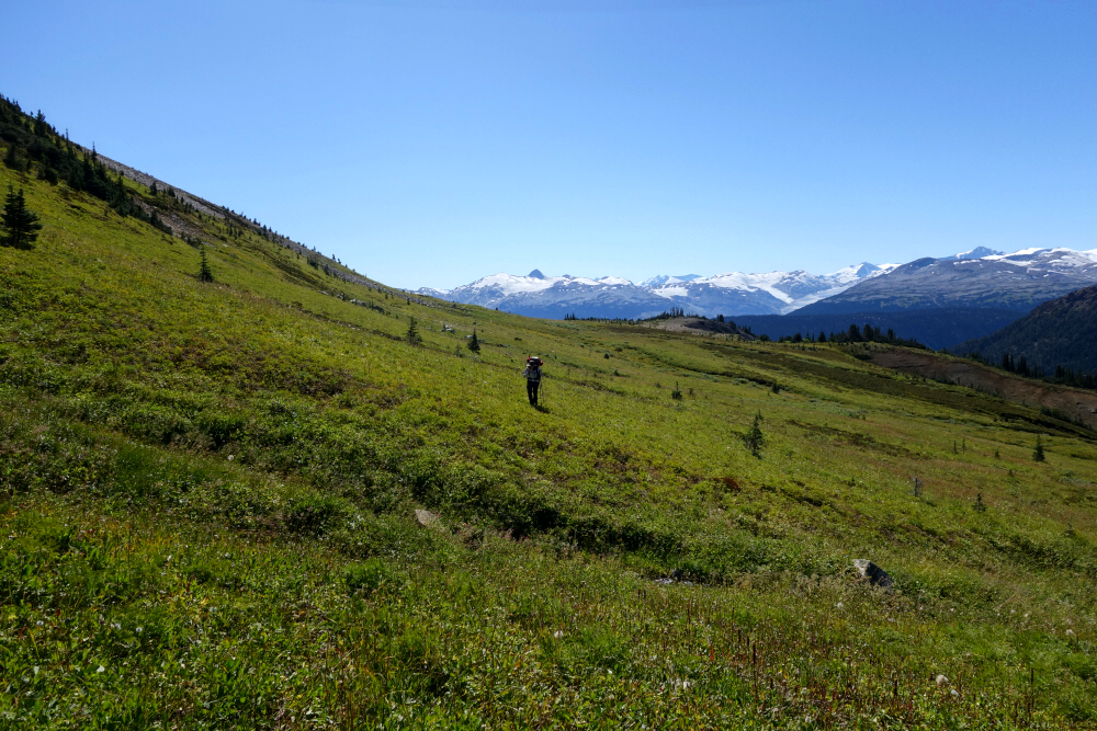
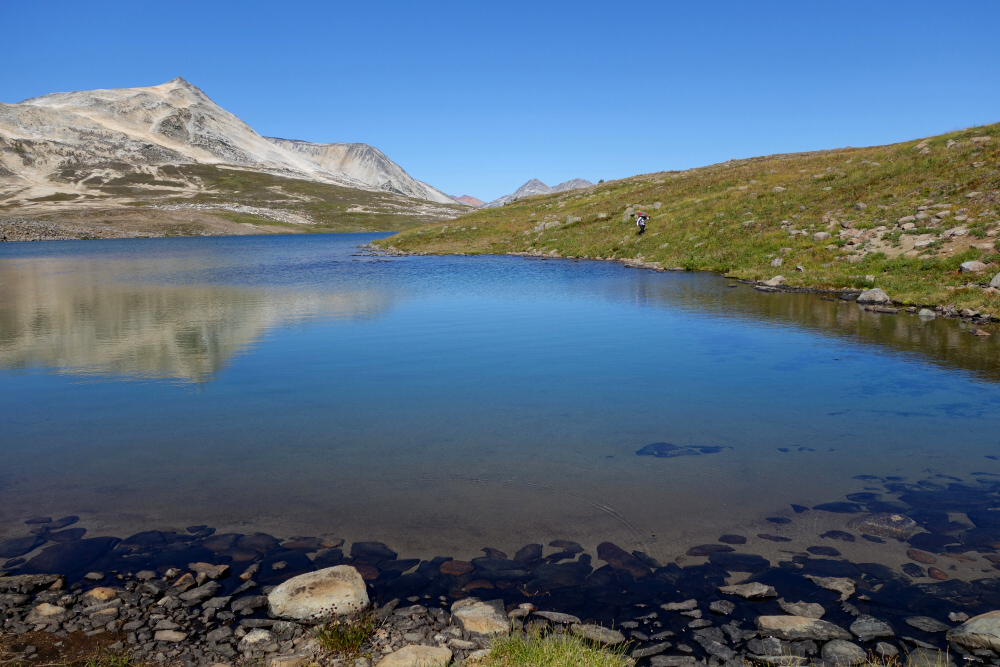
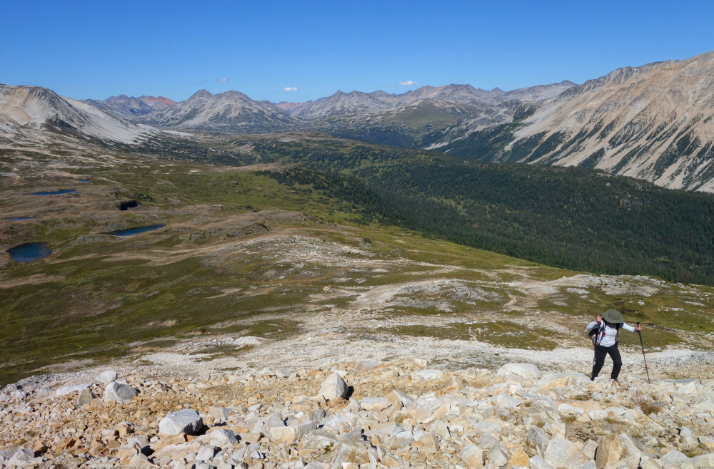
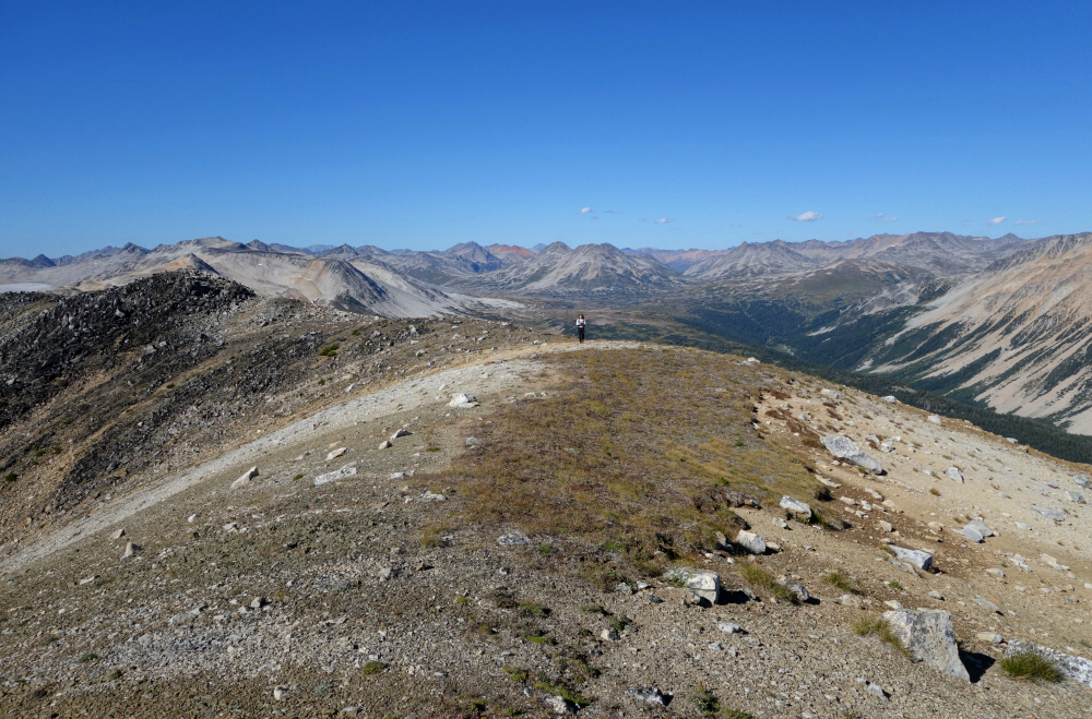
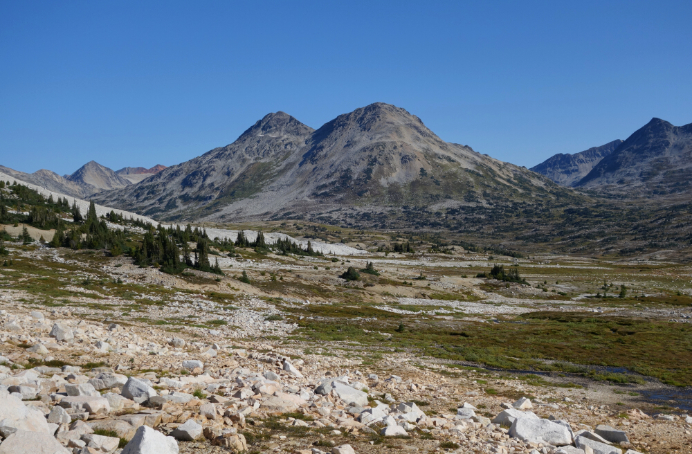
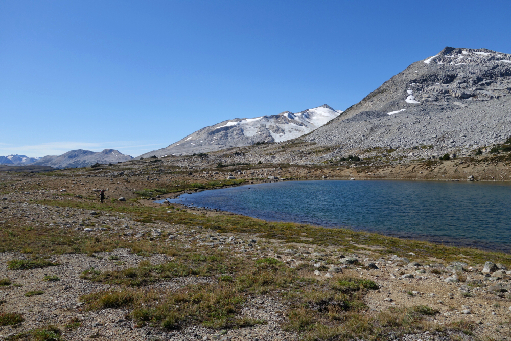
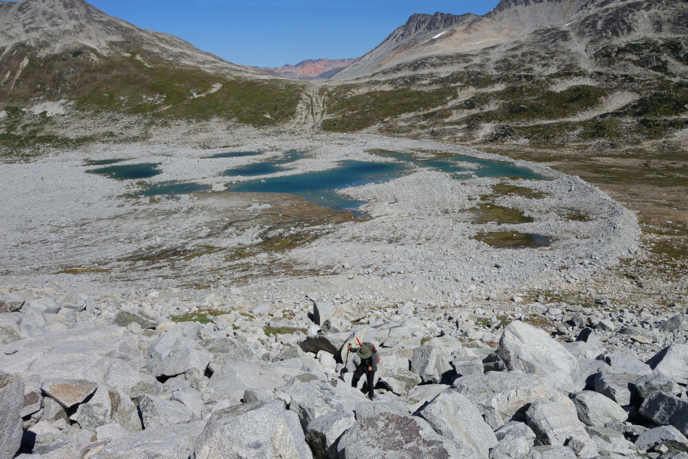
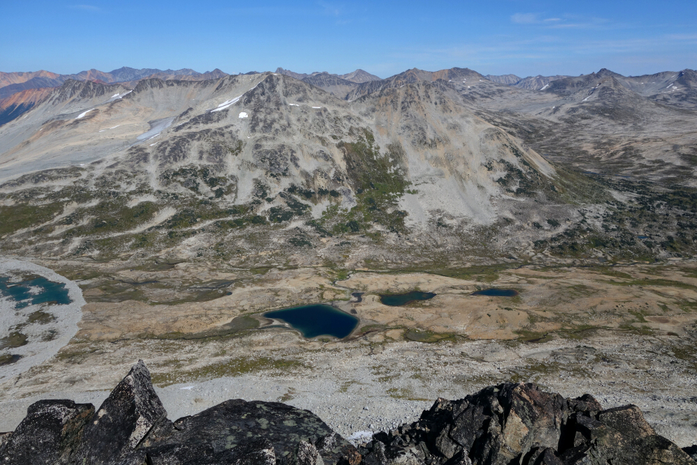
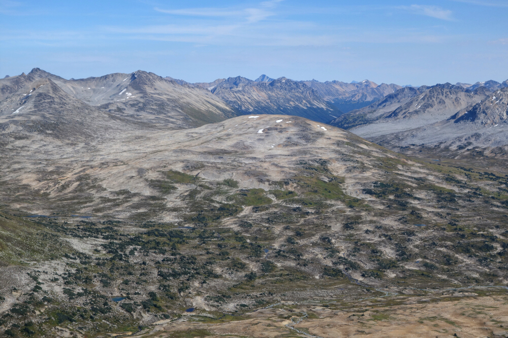
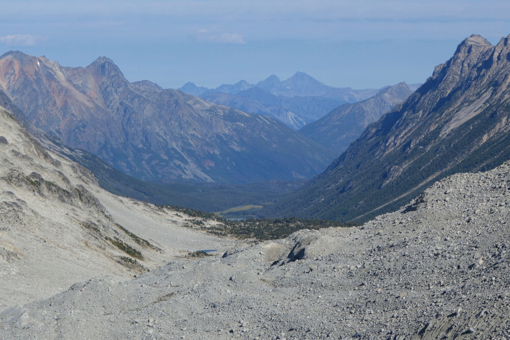
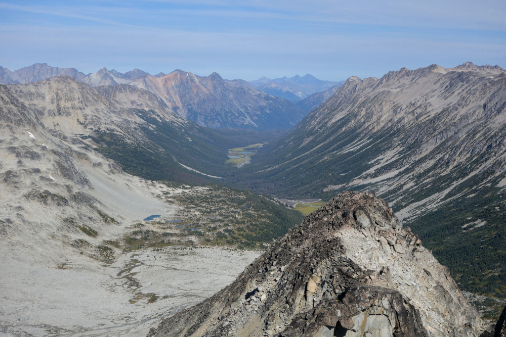
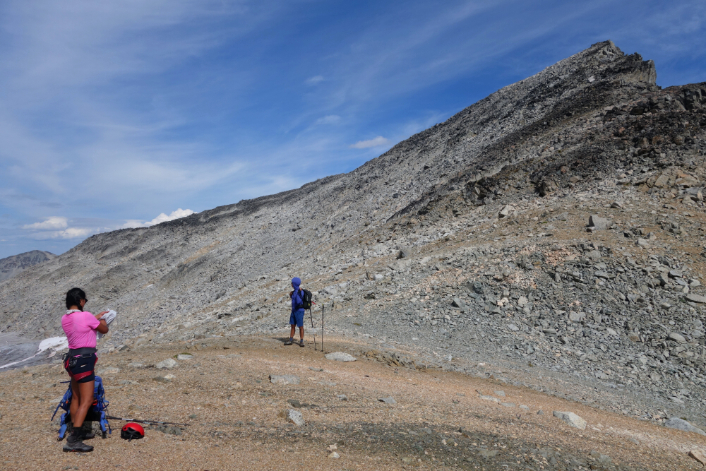
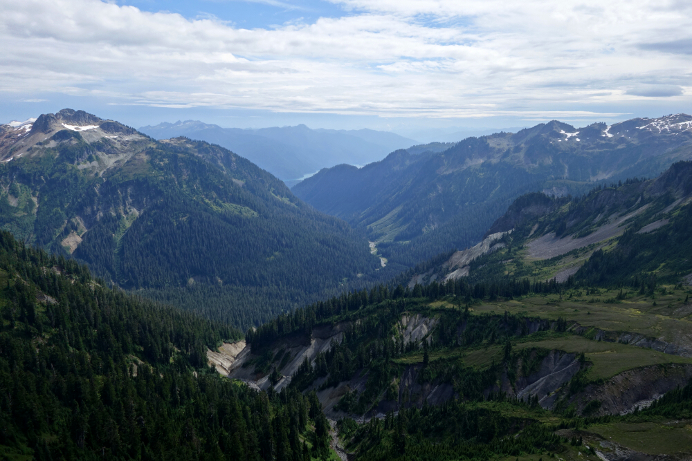
We enjoyed a leisurely start the next morning, traversing slightly rightward from our camp saddle into Nichols Creek Valley. Hoping to avoid losing more elevation than necessary, we stayed well left of the main creek drainage by contouring along the west side of the valley over mostly heather, steering clear of the large talus slopes above. We were forced to skirt around the toe of at least one sizable talus wash before resuming our otherwise pleasant trek toward Griswold Pass, where we expected to rendezvous with the rest of our party. Upon reaching a pass-like area dotted with numerous lakes, with a large lateral moraine blocking our view northward, we decided to stop and set up our tents for the night. We were in the general area of the pass and figured there was nothing but talus ahead, so we might as well stop where pitching tents was easy. No sign of Wes and company, and not really in the mood to go searching at that point either.
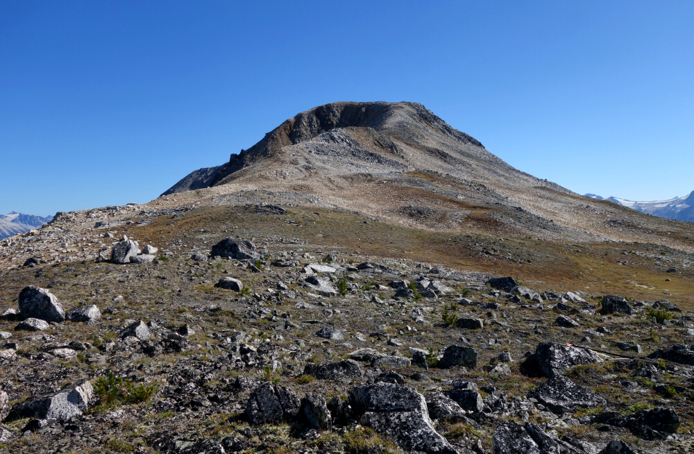
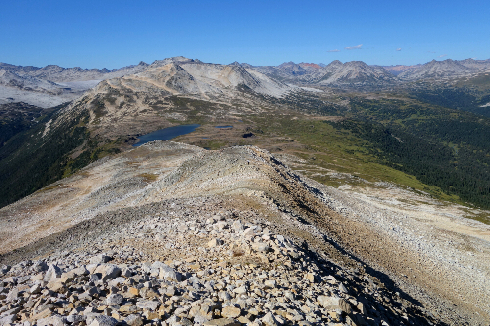
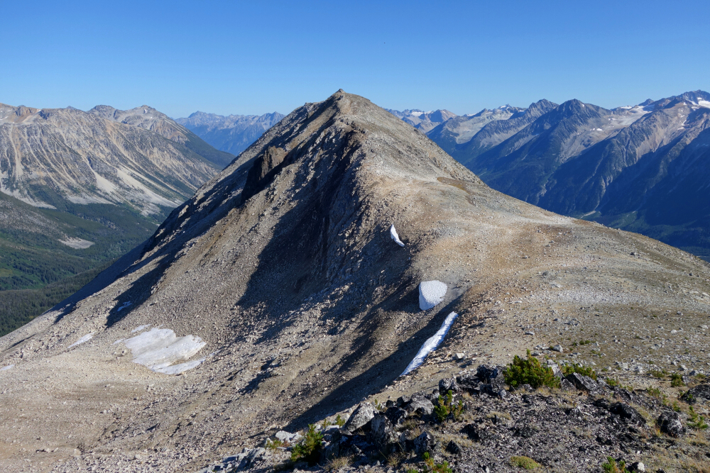
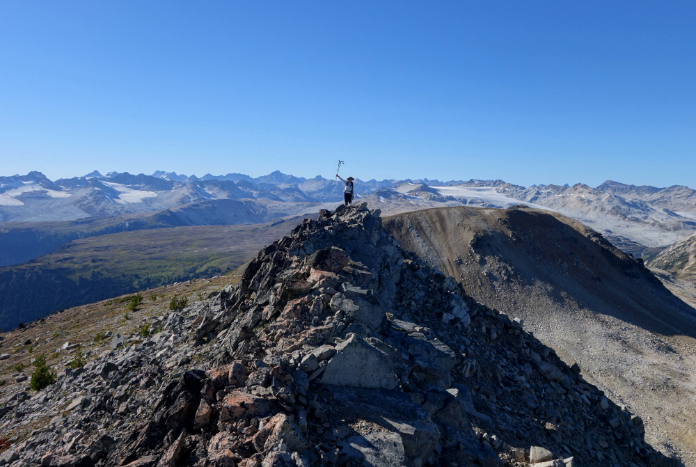
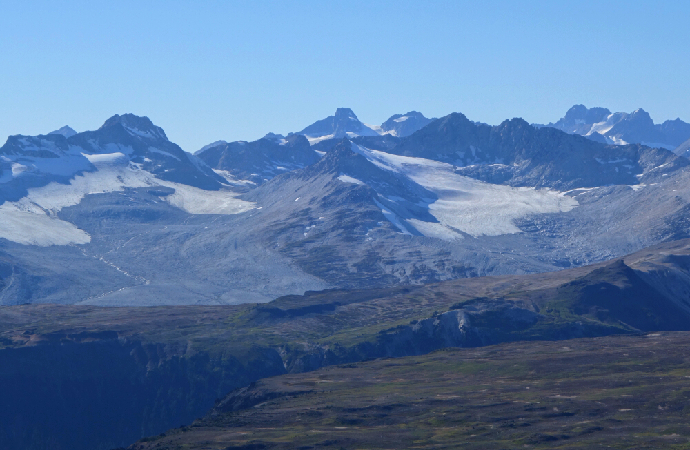
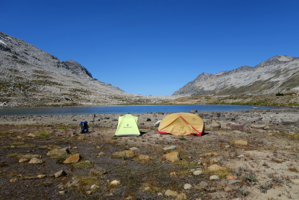
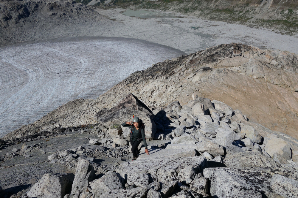
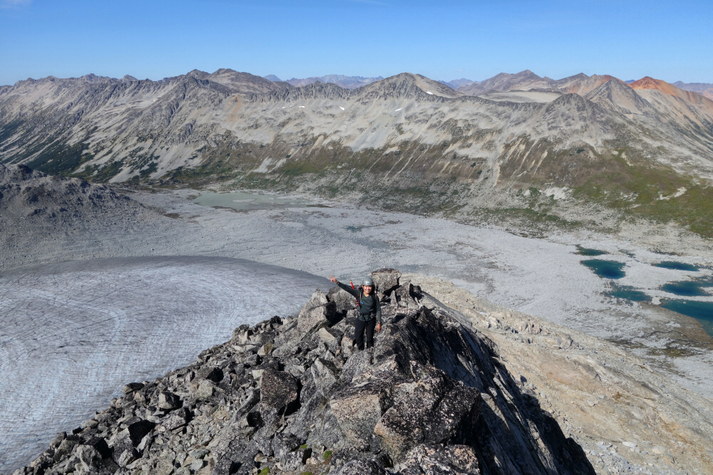
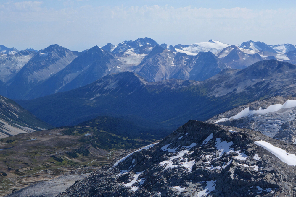
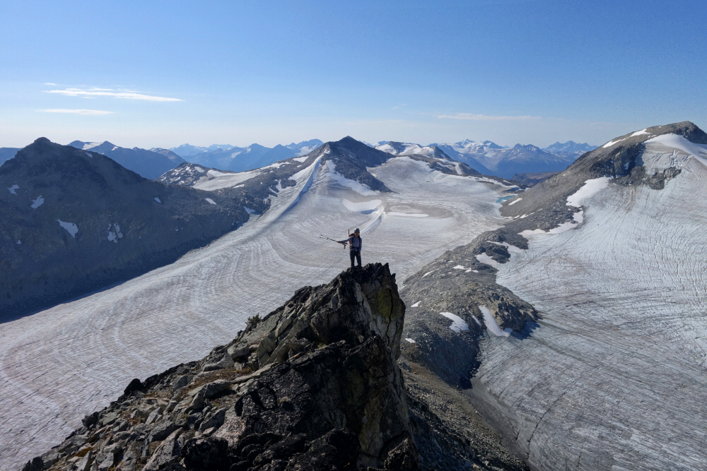
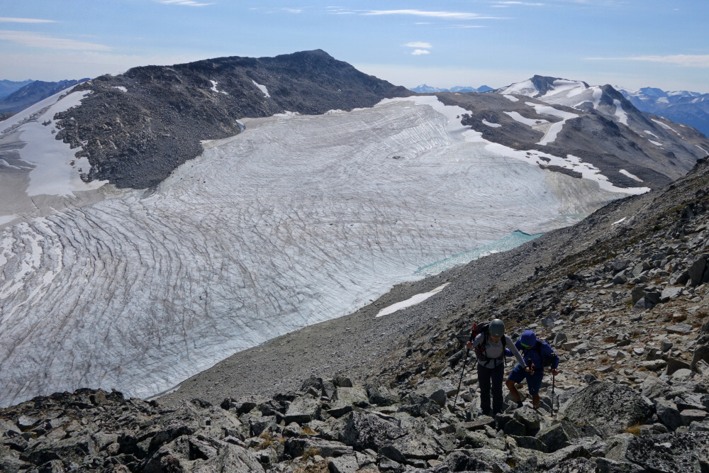
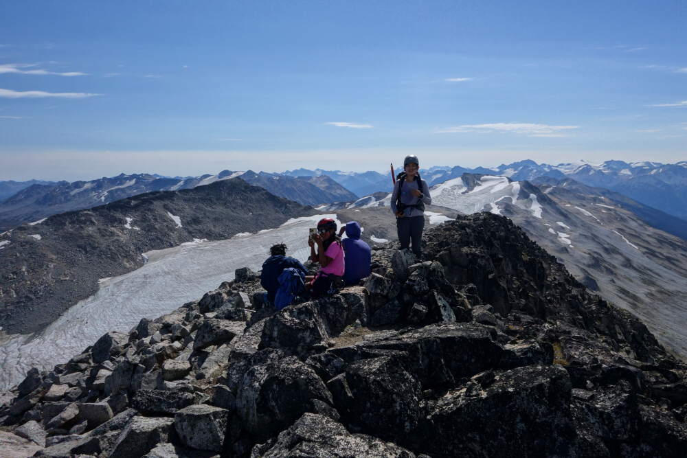
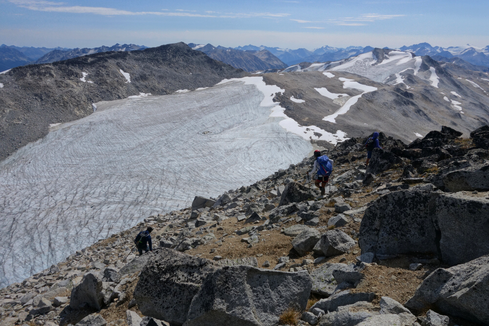
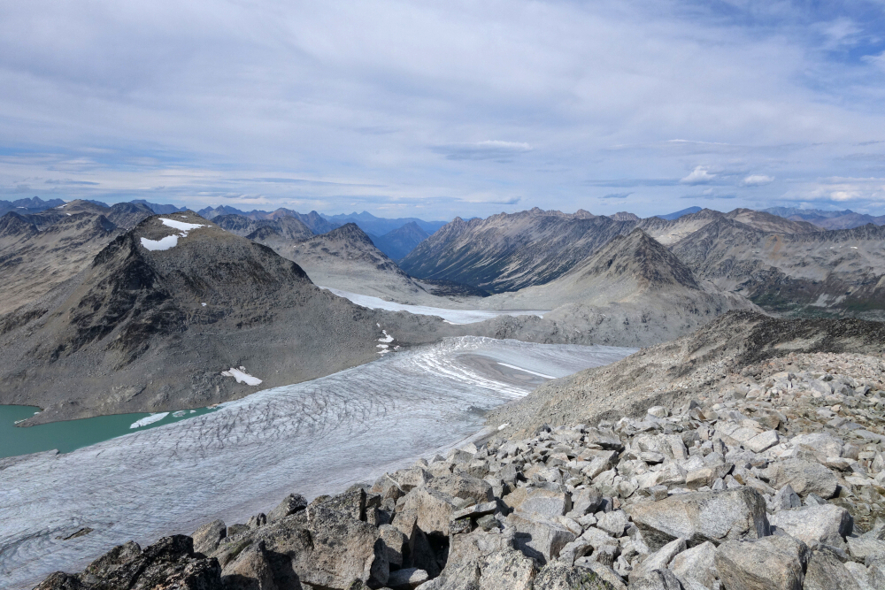
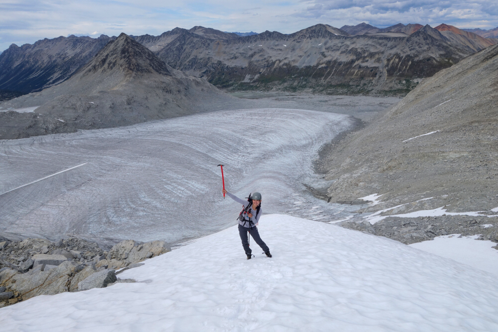
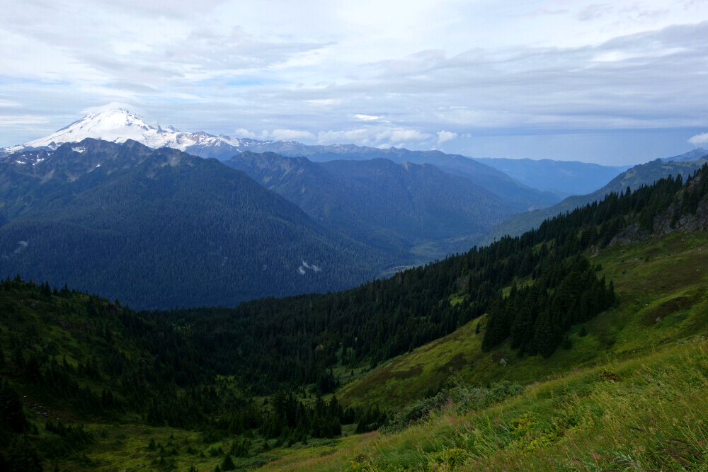
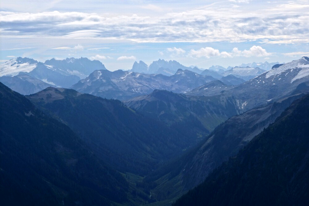
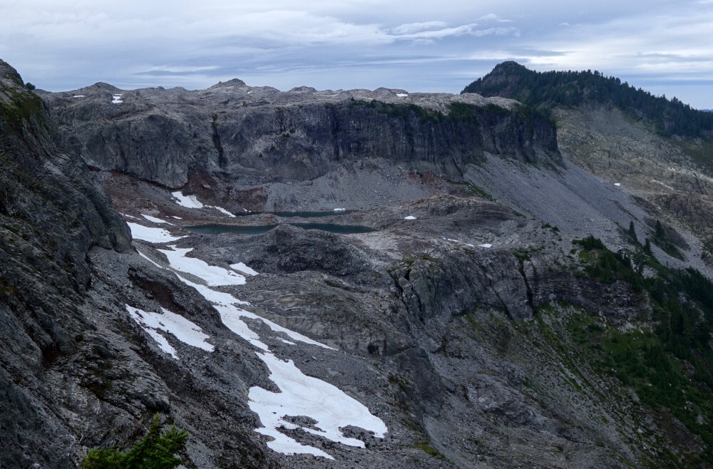
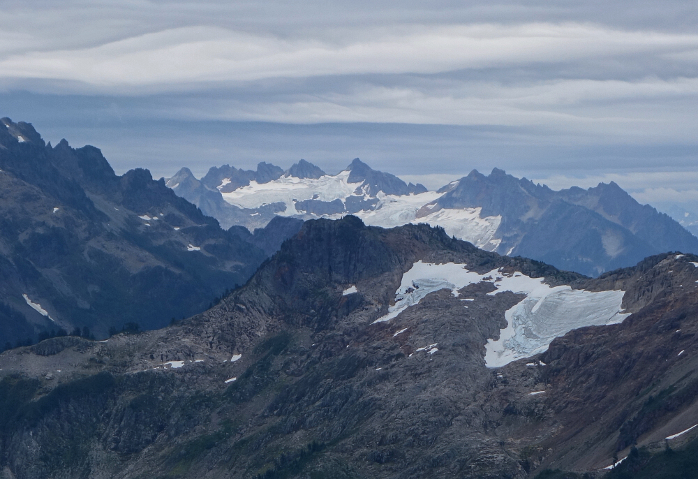
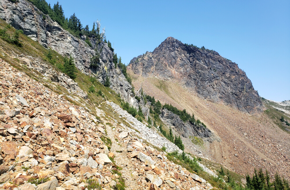
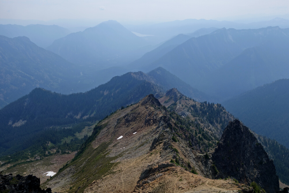
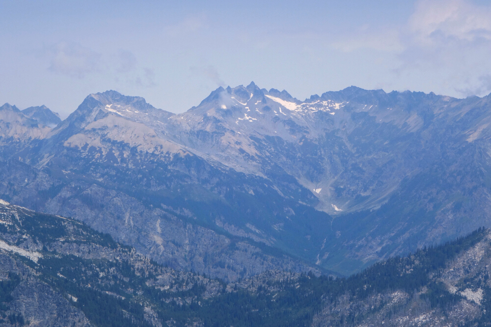
With our tents set up along the shore of yet another beautiful alpine lake, we turned our attention to the next objective. Immediately to the west, some 1,700 feet directly above camp, stood Baryon Peak. Recharged after a bite to eat and a short break, Gina and I angled upward below the east face, aiming for the edge of a moraine we hoped would deliver us near the peak's North Ridge for the final ascent. As we gained elevation, it quickly became apparent that this moraine was unlike anything I'd seen before—part lateral moraine, part terminal moraine—forming a large circular enclosure with additional lakes inside and, more importantly, wide sandy flats where a couple of tents glistened in the bright sunlight. I let out a loud "cooee," and the response confirmed it was indeed Wes and party camped below. With that settled, it was back to the task at hand, weaving around wide ledges and blocks to gain the ridge crest. Turning left, we scrambled over blocky terrain along a gradually sharpening ridge to finally reach the summit. Holy mole—what a view! Unknown peaks and glaciers (to me) stretched in all directions, save for the familiar subatomics nearby. Absolutely stunning.
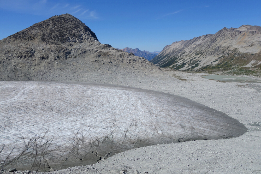
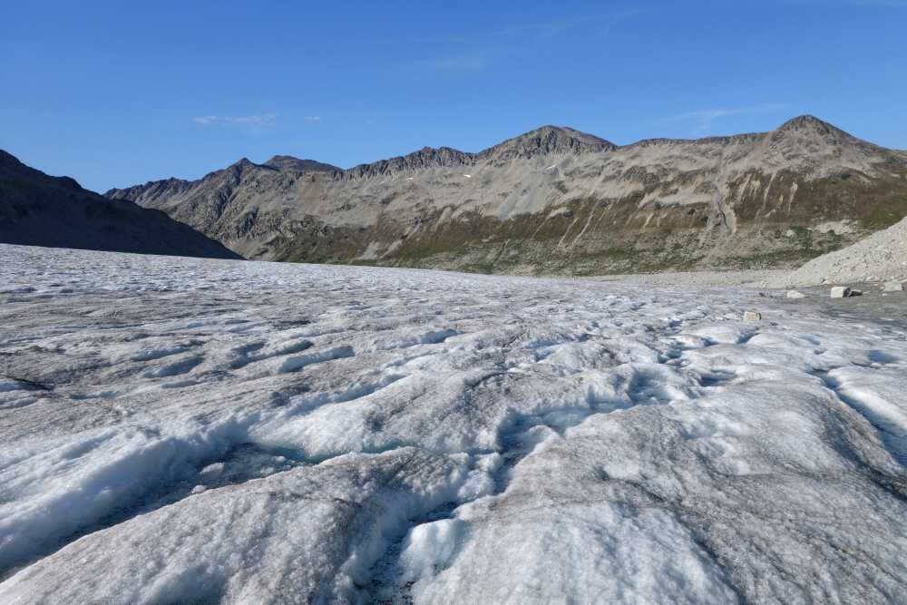
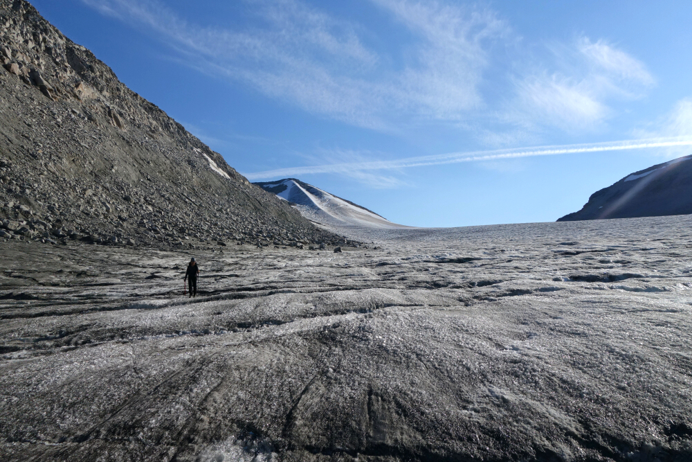
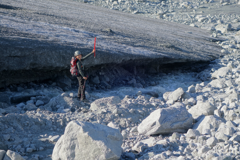
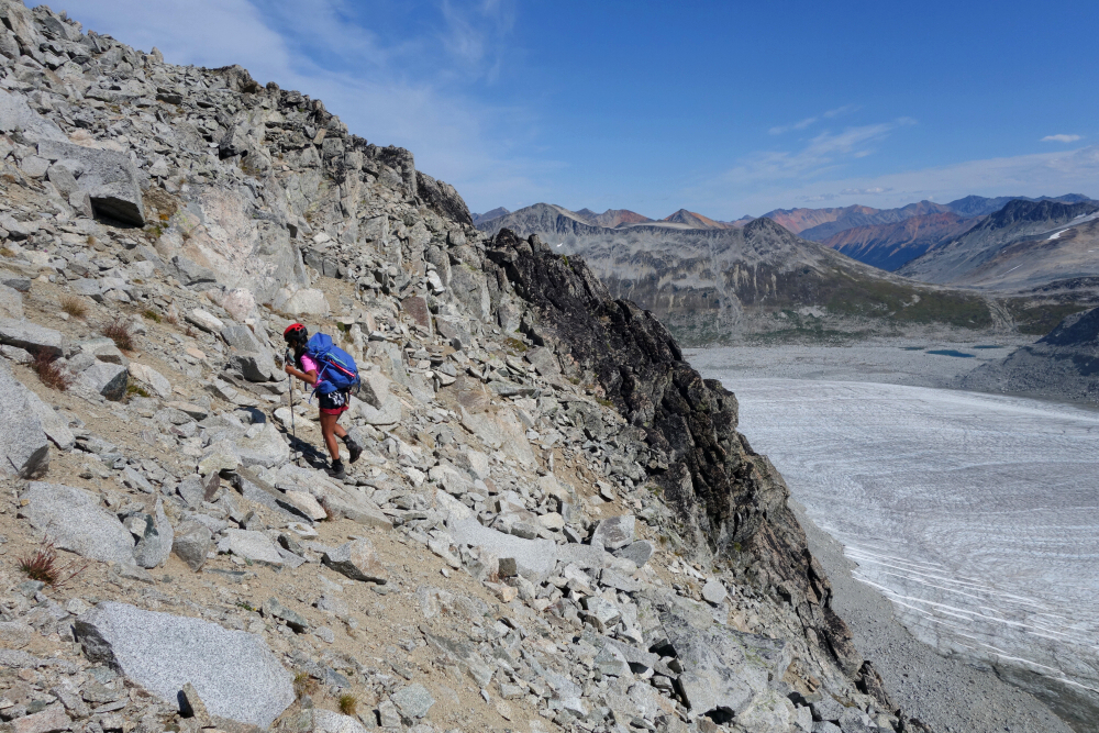
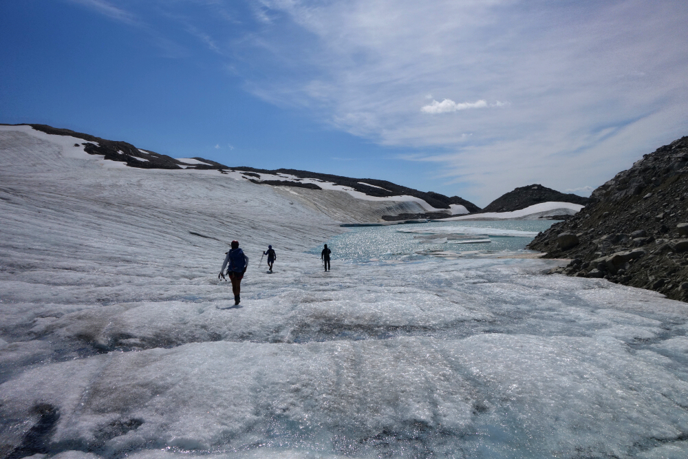
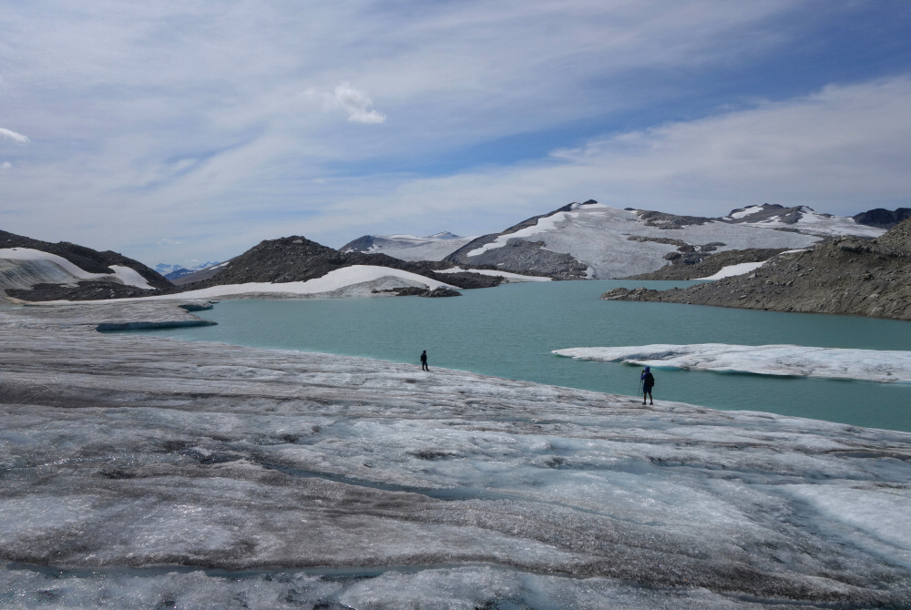
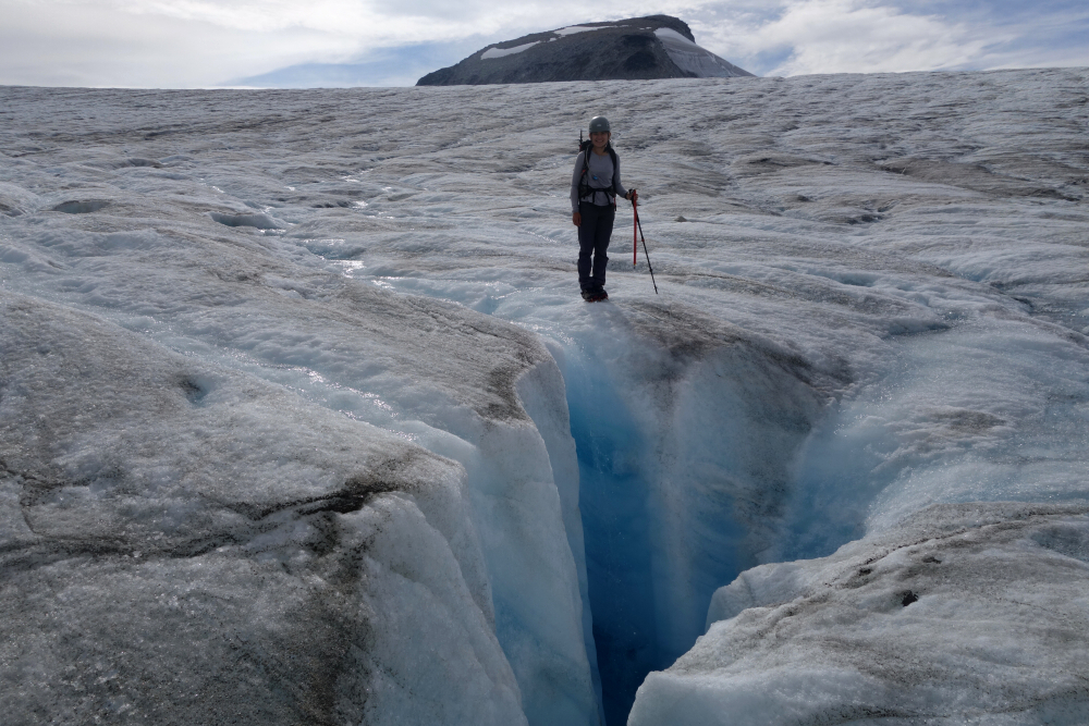
Call it ego, poor judgement, or plain stupidity, but I made a bad call convincing Gina that descending the West Face directly from the summit would be faster and more pleasant than retracing our ascent. The upper half was fine enough—typical talus travel—but unseen from above were cliffs that had to be negotiated, followed by runnelled walls of hardened mud guarding the final 100 feet above the ice. Descending this absolutely sucked, and it was with great relief that we finally reached the glacier proper. That discomfort quickly faded as we descended the glacier, weaving around meltwater channels and peering with wonder into the countless moulins scattered across its surface. We stepped off the glacier near its snout and hiked over glacial till and talus toward where we'd seen the tents earlier. The tents were there, but no humans—likely out bagging a peak somewhere. Onward to our camp we went, annoyingly a good kilometre as the crow flies from where the others were camped. Another blissful night under the stars followed, with eager anticipation for whatever adventures the next day would bring.
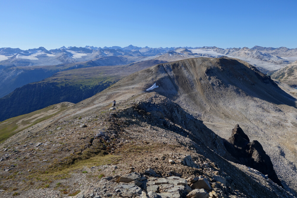
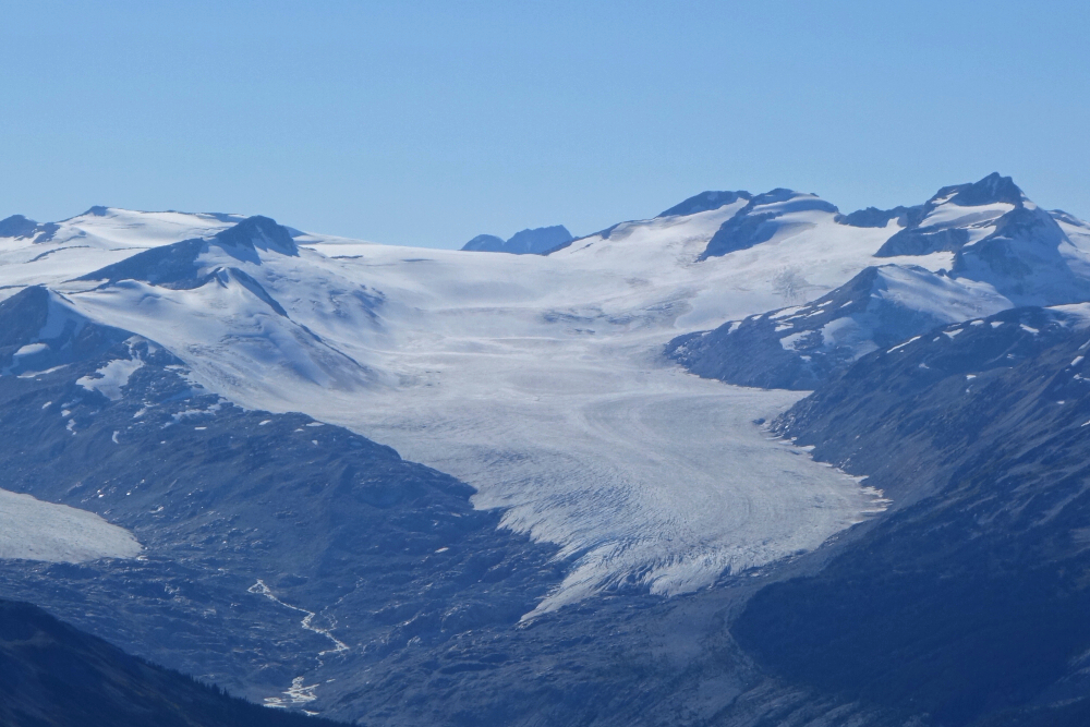
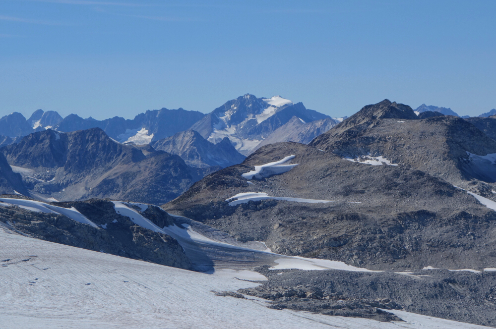
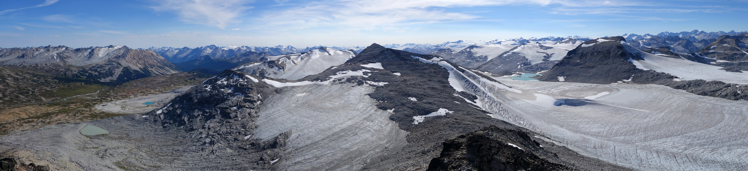
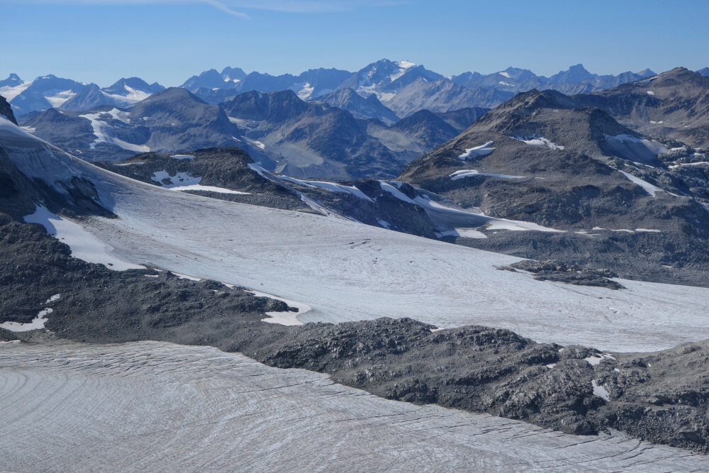
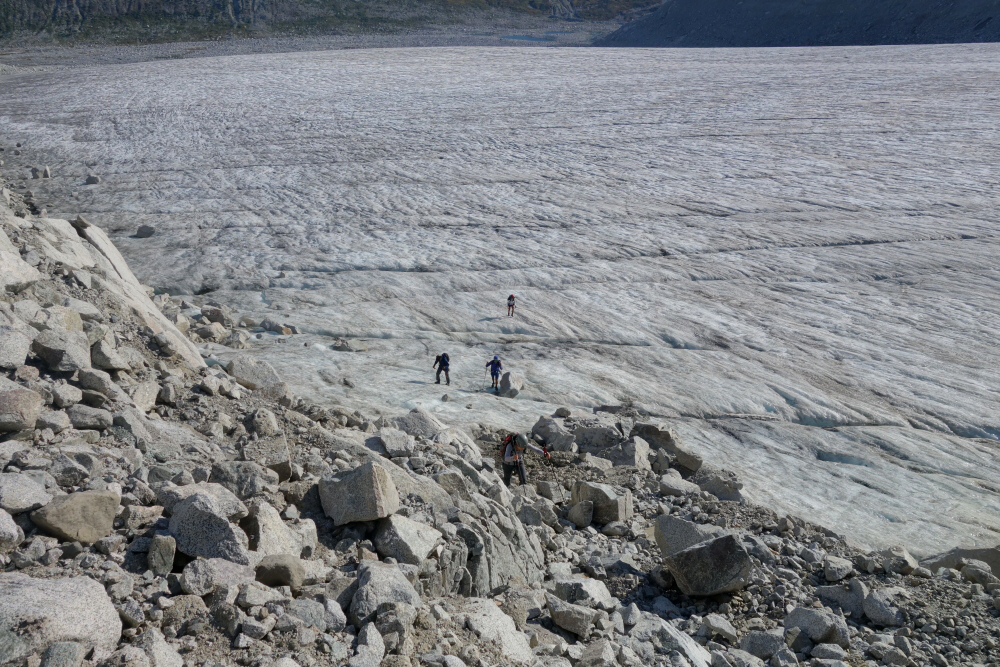
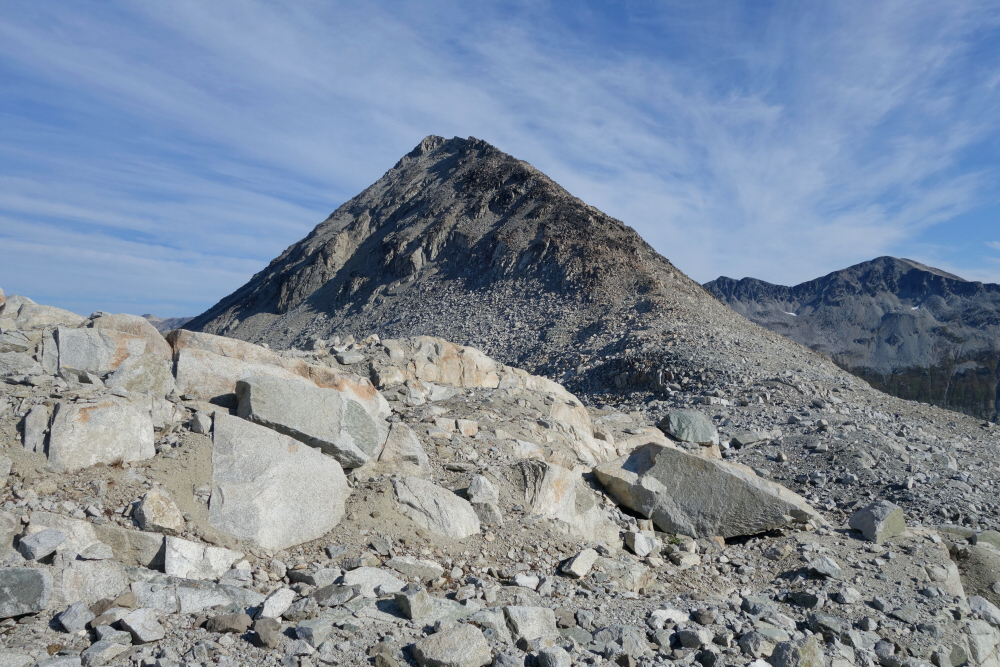
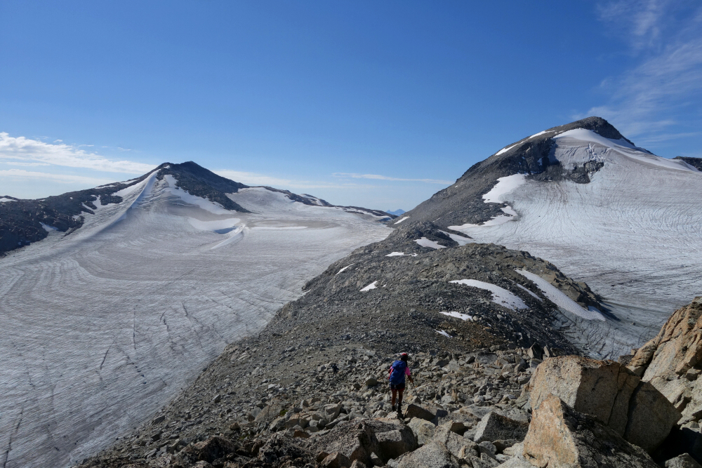
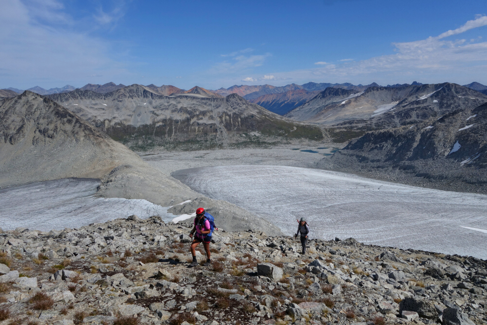
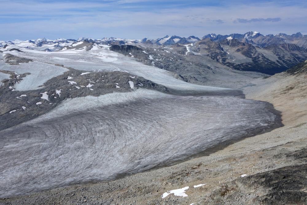
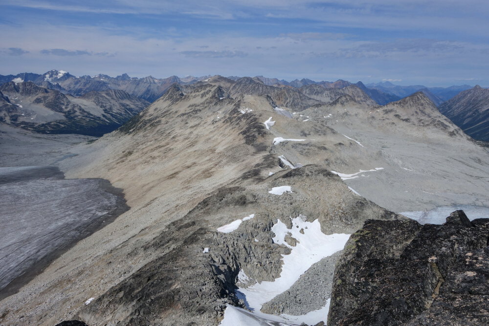
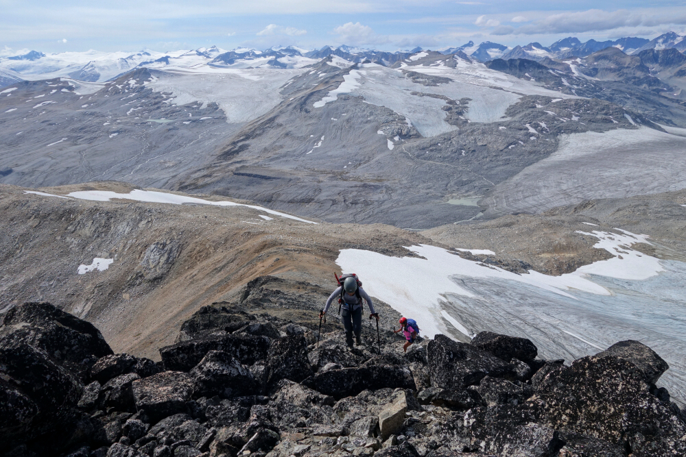
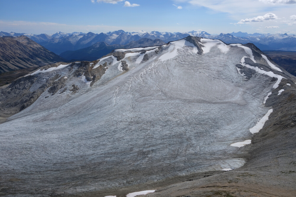
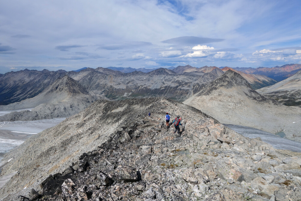
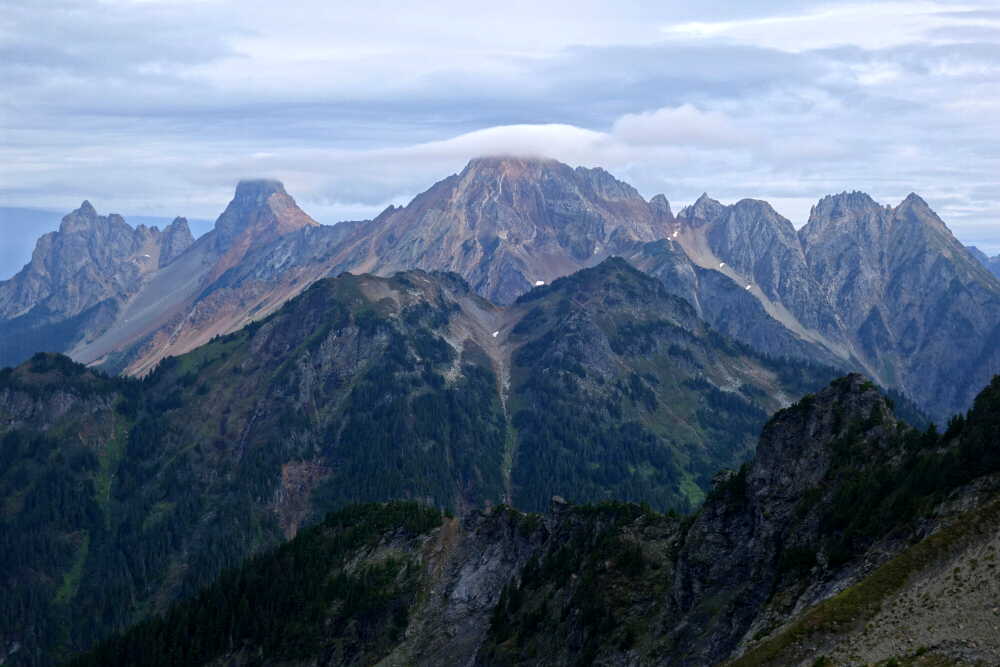
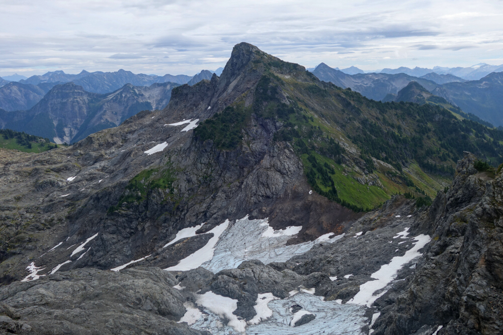
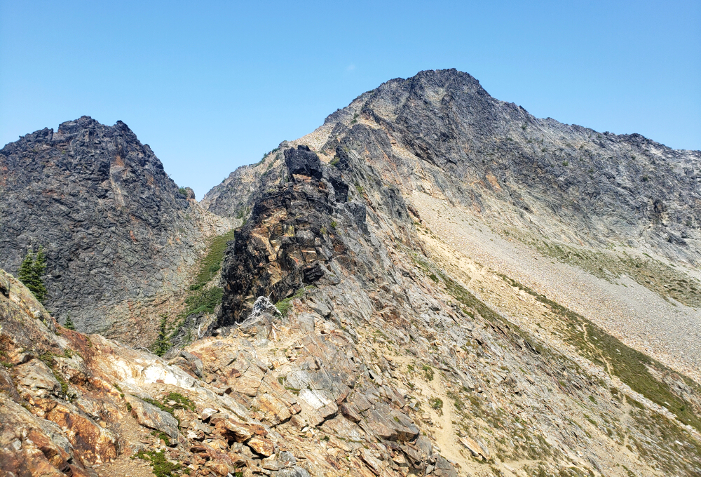
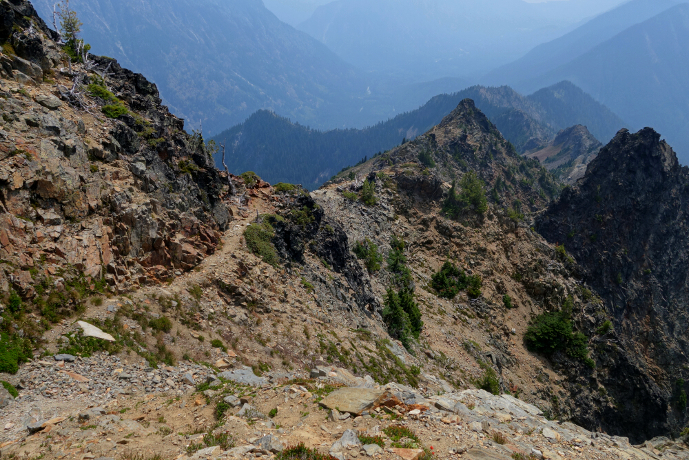
We were moving shortly after sunrise, returning to the others' camp before continuing as a group. Retracing our steps from the previous afternoon, we gained the toe of the glacier and made an ascending traverse across the ice to a saddle between Meson Peak and Muon Mountain. Topographic maps show this saddle as fully glaciated, essentially connecting two main lobes of the glacier into one. Unfortunately, this is no longer the case, as we soon left the ice behind and kicked up loose glacial till and talus onto the crest. An easy scramble northward brought us to our first peak of the day—Meson. We lingered to enjoy the stellar views before dropping back to the saddle and continuing toward Muon. From there, we followed the edge of the western glacier lobe toward the peak ahead, contouring left to avoid a steep buttress-like feature before turning upward for more easy scrambling to the summit. Nearly on the edge of the Lillooet Icefield now, the views only improved.
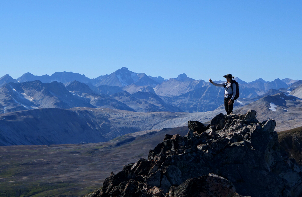
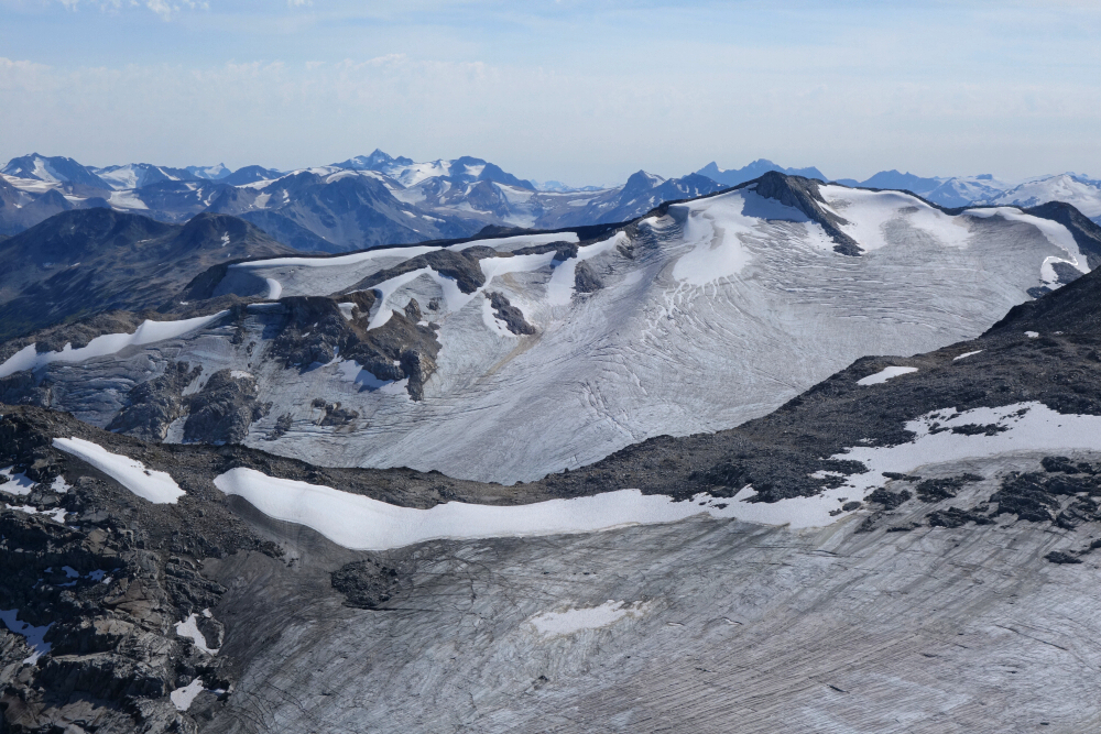
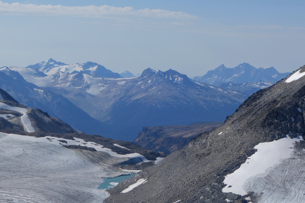
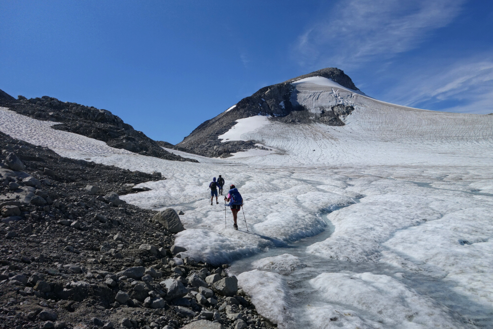
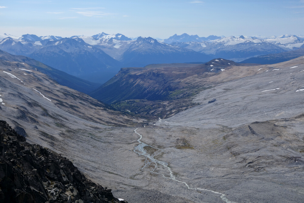
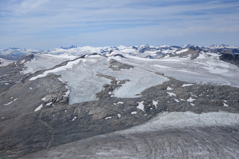
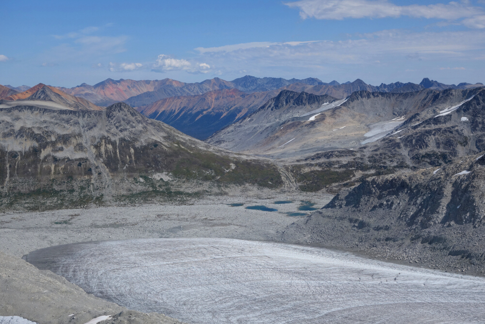
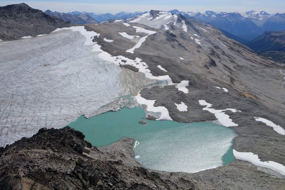
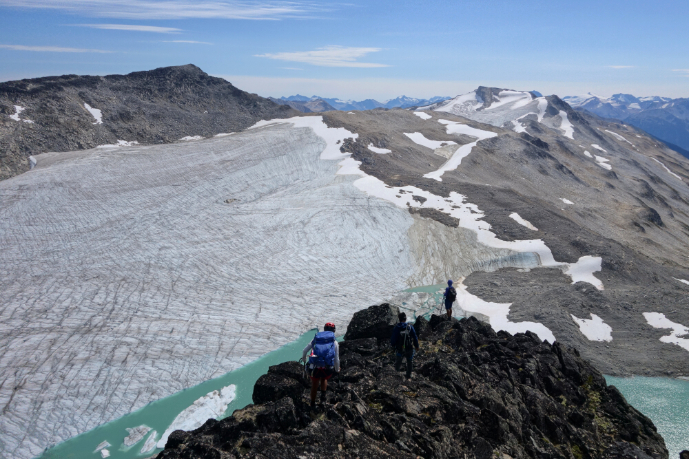
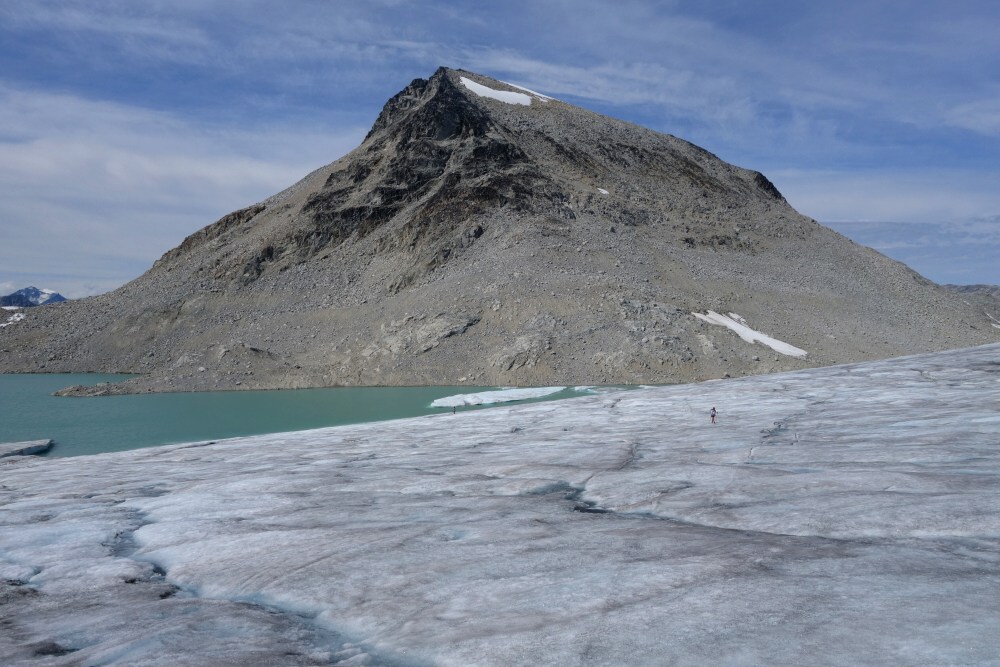
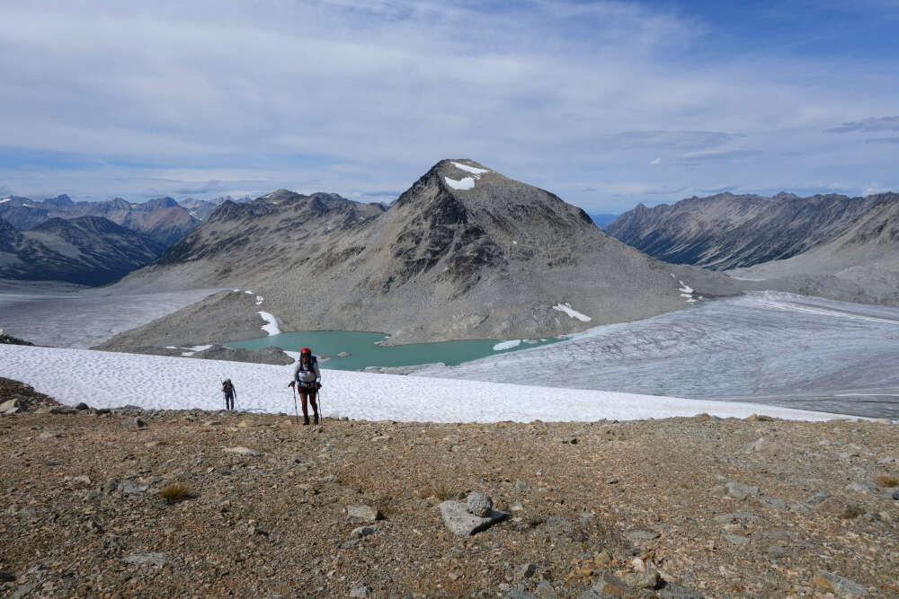
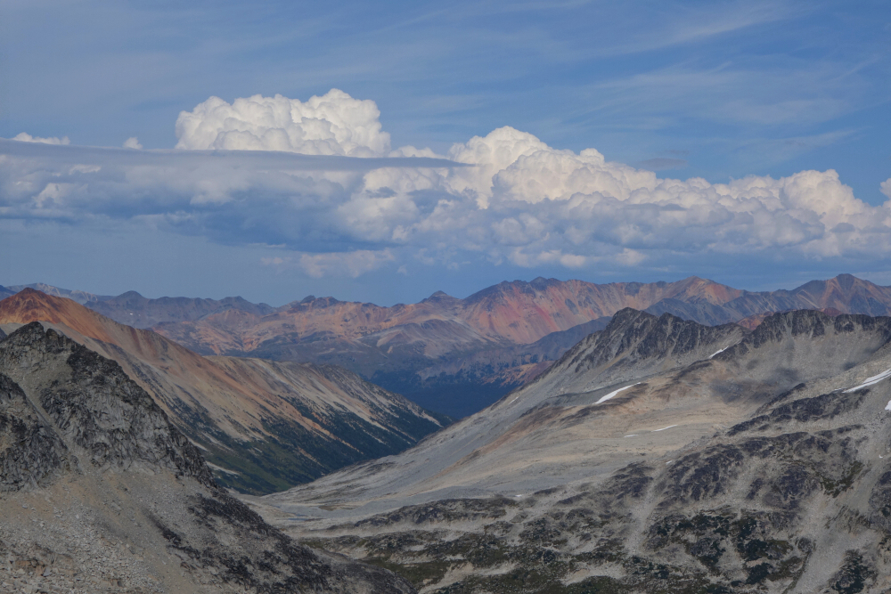
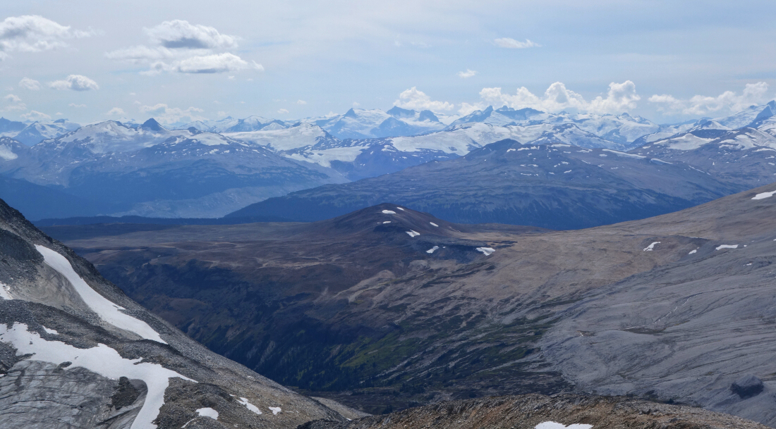
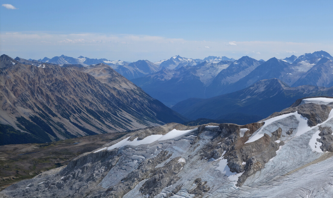
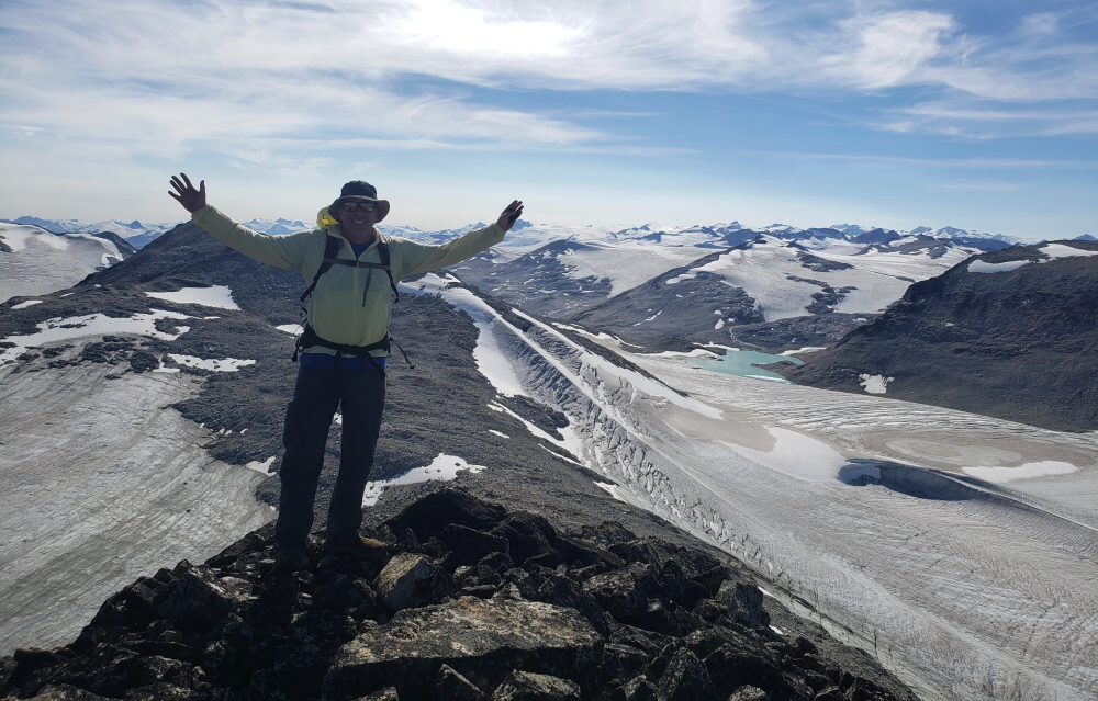
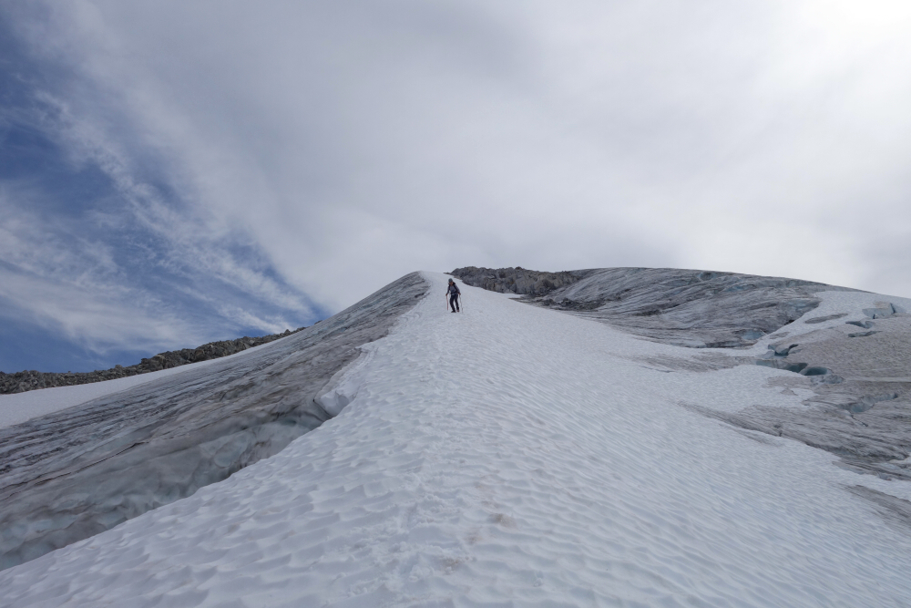
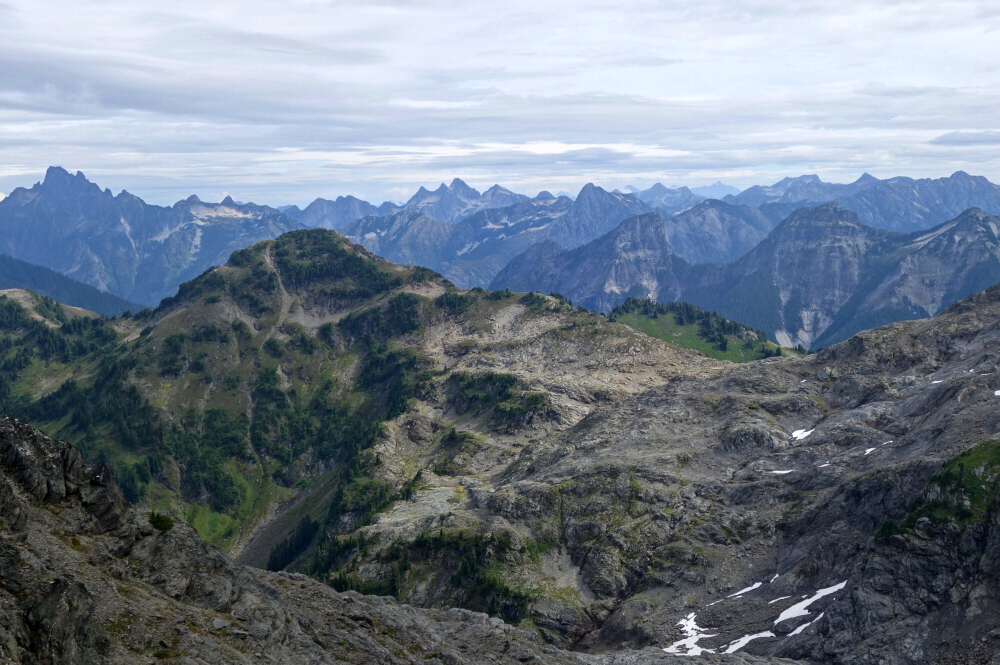
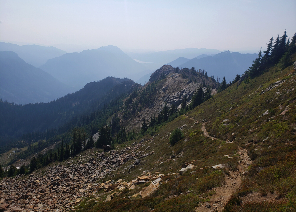
After feasting our eyes on the spectacle around us, we moved on, descending steeply down the South Ridge to the head of the main glacier, with a deep turquoise glacial lake providing a dramatic backdrop. Back on the ice, we contoured along the lake's edge, stopping frequently for photos and otherwise entranced by the otherworldly scenery that was entirely ours. We ascended mostly low-angled ice to a prominent saddle between Muon and Lepton, then finished via the Southwest Ridge to gain Lepton's summit. Still no end to the views, and now finally able to peer over the divide toward Nichols Creek Valley and the dry peaks straddling the South Chilcotin Provincial Park boundary beyond. After a long break on top, we continued our loop by descending Lepton's North Ridge toward the saddle between it and Baryon. With the others still needing to finish Baryon, Gina and I bid our comrades adieu and followed an aesthetic snow arete down onto the glacier, which we followed back to the snout as we had the previous day.
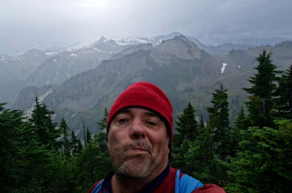
We crawled back into camp after about 9.5 hours on the move, tired but thoroughly satisfied with what we'd accomplished—not just that day, but the days prior as well. We briefly considered relocating camp to share the final evening with the rest of the party, but it felt like too much work. Besides, Wes paid us a visit and shared the last of his hooch before turning in for the night. We regrouped at our camp the following morning and headed out together at a leisurely 9 a.m., reaching the trailhead about 3.5 hours later.
In the end, Griswold Pass delivered exactly what I'd hoped for and then some: vast, remote terrain, engaging scrambles, and a sense of space that's becoming increasingly rare. The Subatomic Peaks proved to be an ideal introduction to the area, offering varied routes, satisfying glacier travel, and nonstop views in every direction. While there are plenty of objectives left unfinished—Griswold Peak among them—that only adds to the appeal. This is the kind of place that stays with you long after the dust has settled and the packs are unpacked, and one I know I'll be drawn back to again.
![]()


