Last Updated: January 22, 2026
   |        |   

Please select from one of the following:

  • Climbing & Hiking - Peaks, climbs and hikes from all over the PNW and most western states.


  • Snowboarding - Resort, slack/backcountry, heli and everything in between.


  • Mountain Biking, Surf & Kayak - Everything else from MTB action to saltwater kayaking and surfing various PNW breaks.


  • National Parks - National Parks/Monuments and highlights of travel to Western States and Provinces.


  • Travel - National and International travel (East & SE Asia, East Africa, Europe, North America, Oceania).


  • sverdina.com © 2002-2026

        |       |       |   


    Start

    Recent content updates are viewable under what's new.

    Reports in the queue for posting are coming soon!

    Upcoming reports & photos:

    • Ptarmigan Ridge - (WA | The Portals East Peak, Coleman Pinnacle) - hike (September 2024)
    • Tetrahedron Peak - scramble (September 2024)
    • Lone Cone & Peak 86 (Tofino) - hike (September 2024)
    • Mount Athelstan ("Pk. 2460") - scramble (September 2024)
    • Excelsior Peak and Cowap Peak (WA) - hike (October 2024)
    • Hollyburn Peak - hike (October 2024)
    • Cheam Peak - hike (October 2024)
    • Blanchard Needle - scramble (October 2024)
    • Debeck's Hill & 4 Lakes Loop - hike (October 2024)
    • Mount Hallowell - hike (November 2024)
    • Anderson Mountain (WA) - hike (December 2024)
    • Sumas Mountain (WA) - hike (December 2024)
    • Gloria (Peak) Lookout - hike (January 2025)
    • JAPOW! & more (Niseko, Sapporo, Kyoto, Tokyo) - snowboarding (February 2025)
    • Mount Fletcher (S3/1400) - snowshoe (April 2025)
    • Mount McNair - snowshoe (April 2025)
    • Lewis Butte (WA) - hike (April 2025)
    • Ruby Mountain (WA) - snowshoe (April 2025)
    • Mount Oleg - snowshoe (May 2025)
    • Carnival Peak - snowshoe (May 2025)
    • Shovelnose Creek Knoll & "Pk. 1956" - snowshoe (May 2025)
    • Tolkien ("Pk. 2188") - snowshoe (June 2025)
    • Mount Ichor - hike (June 2025)
    • Mount Ronayne - hike (June 2025)
    • Mount Athelstan - scramble (June 2025)
    • Ample Mountain - hike (June 2025)
    • Bird Peak - hike (July 2025)
    • Gimli Peak - scramble (July 2025)
    • Squamish Headwaters - hike (July 2025)
    • The Pinnacles (North) - scramble (July 2025)
    • Fire Mountain - scramble (August 2025)
    • Mount Fosthall - hike (August 2025)
    • Mount John Clarke - scramble (August 2025)
    • Trophy Mountain - scramble (August 2025)
    • Choir Traverse (Linus, Schroeder, Contralto) - scramble (September 2025)
    • Copper Mound & Macleod - scramble (September 2025)
    • Tin Hat Mountain - hike (September 2025)
    • Mount Freda - hike (September 2025)
    • Thompson Peak - hike (September 2025)
    • Surprise Mountain (WA) - hike (October 2025)
    • Bear Mountain (Harrison) - hike (October 2025)
    • Garnet Peak (CA) - hike (January 2026)
    • Hale Peak (Harrison Lookout) - hike (January 2026)

    *As of 01/24/2026


    Database

    Query the reports database, selecting from criteria which include name, location, type, season etc.

    Quick Links

    Essential links & whatnot:


    Jump To

    Select from list below to jump to a specific area on this site.


    | Latest Posts |


    Thursday, January 22, 2026

    Mazama Dome - via Chain Lakes Trail, September 2024


    Day two of a weekend spent vanlifing it up the North Fork Nooksack River Valley. We'd snuck in a hike up Yellow Aster Butte the afternoon prior and awoke to overcast skies at Silver Fir Campground, where we'd overnighted. With little on the agenda for the day, we enjoyed a lie-in, had breakfast, and didn't get moving until sometime after noon. What to do, what to do? How about driving up to Artist Point to see if the weather might be any better up there?

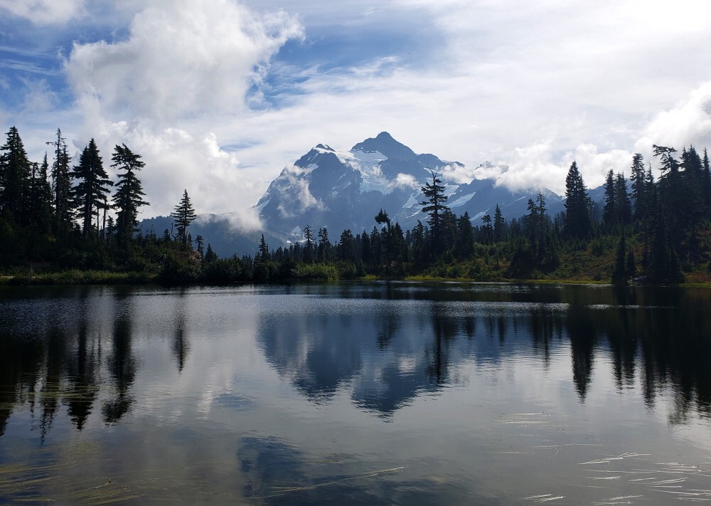
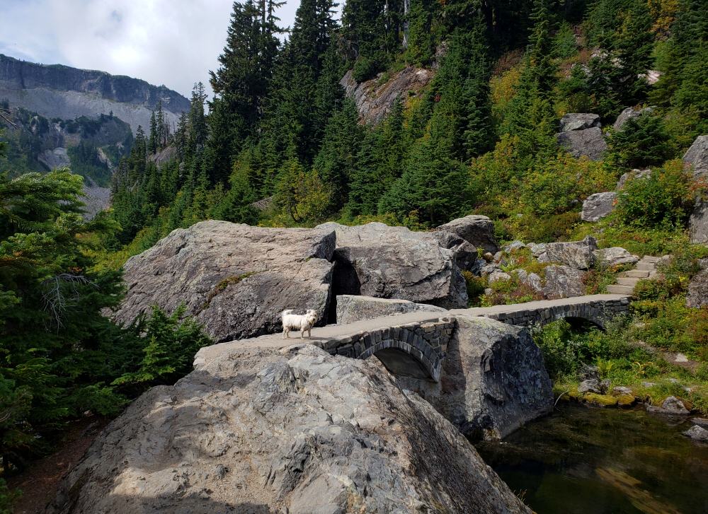
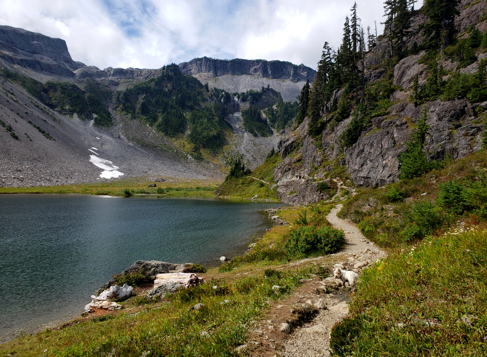
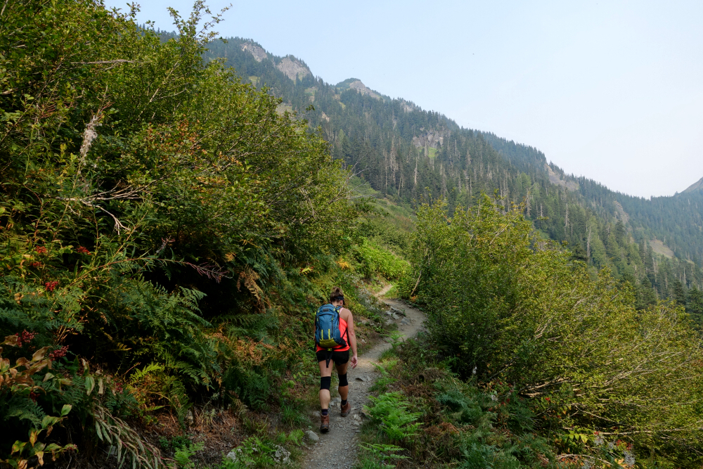
    Approaching Picture Lake, the clouds were slowly starting to part, with tantalizing patches of blue showing through. Hmm...not expected. Perhaps sensing my sudden restlessness, Agata suggested I take Pepper for a quick hike somewhere nearby while she hung back and listened to her audiobook. I'd been through the Bagley Lakes basin several times before, but always in winter, usually returning from a day of ski touring out in the Ptarmigan Ridge backcountry. It would be nice to finally see what it looks like without snow, I figured, and so-with puppers in tow-down from the parking lot to Bagley Creek we went.

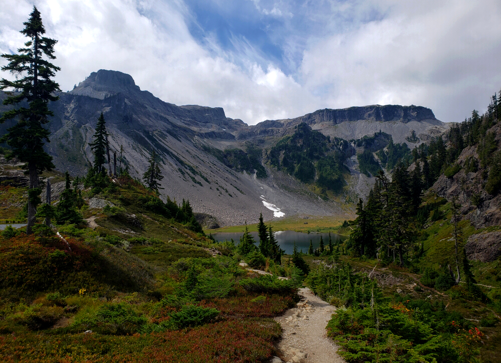
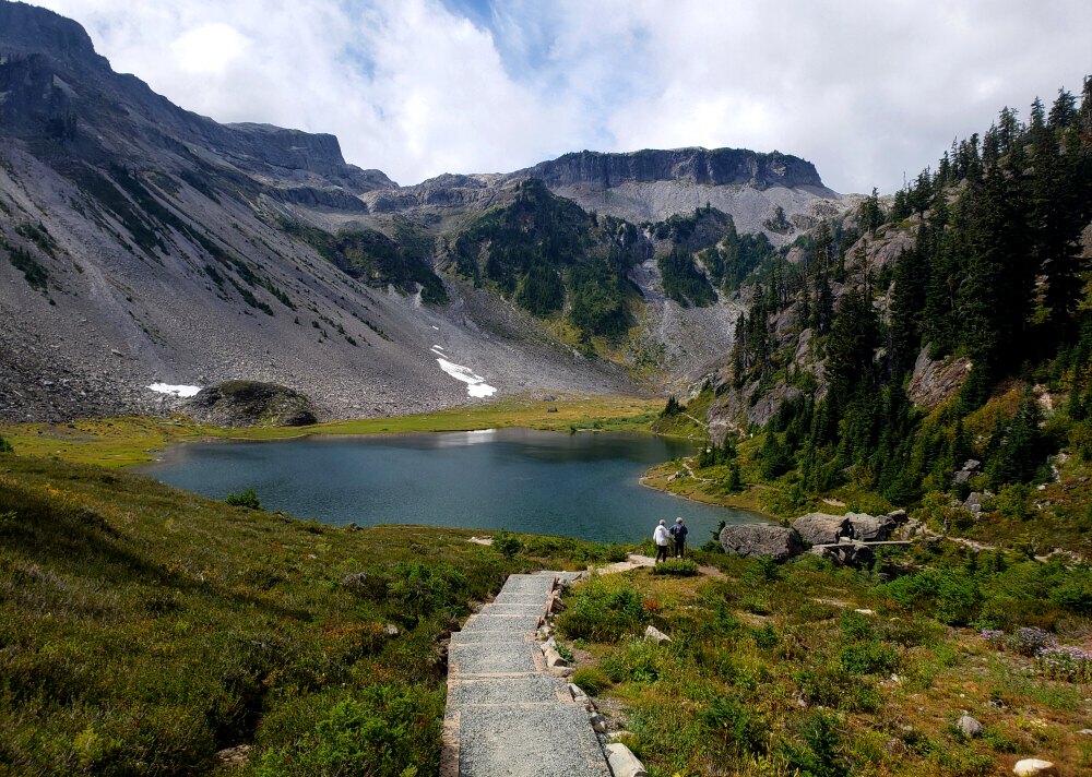
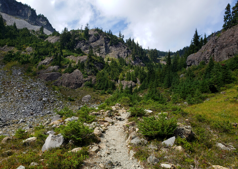
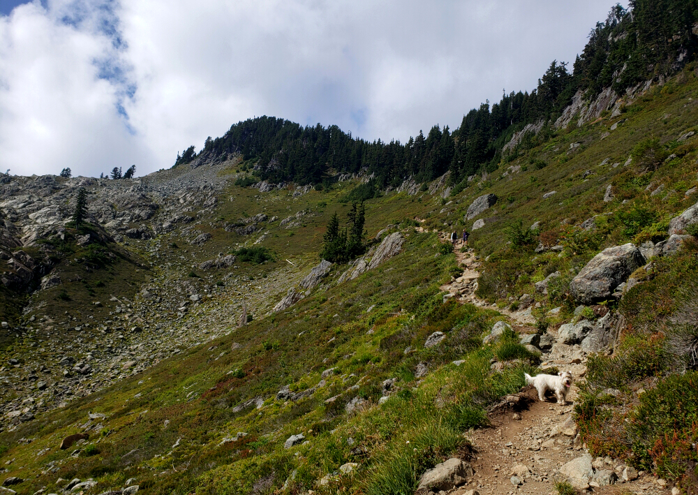
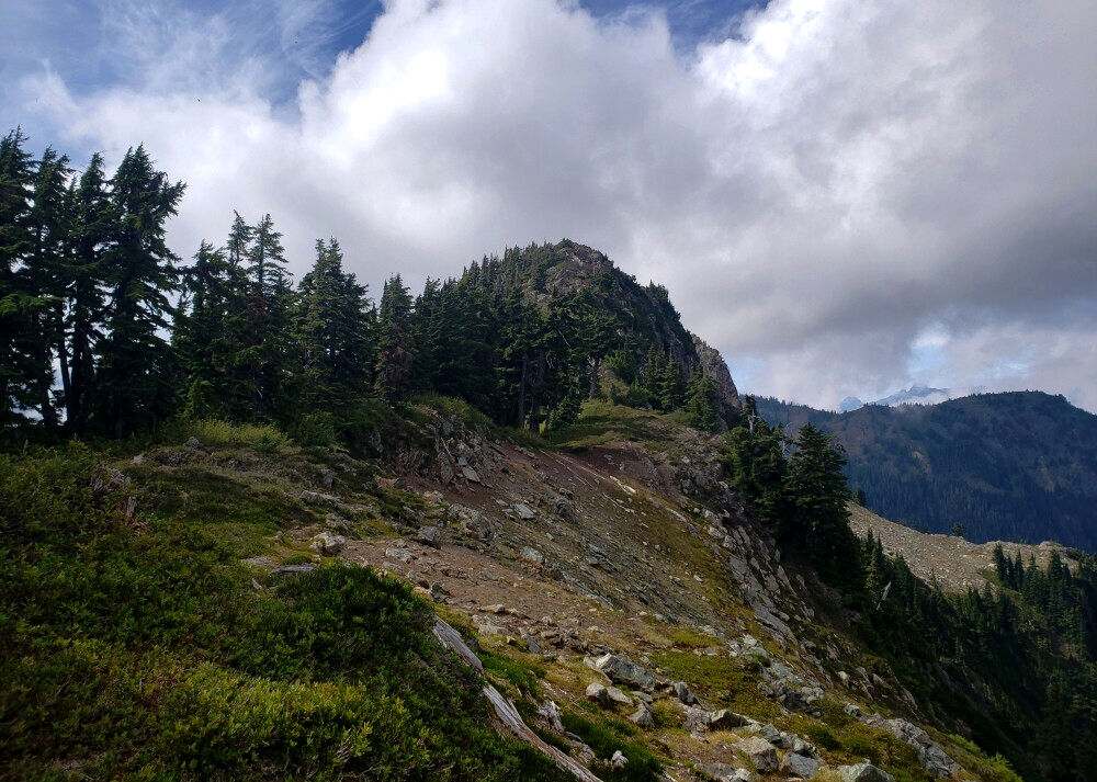
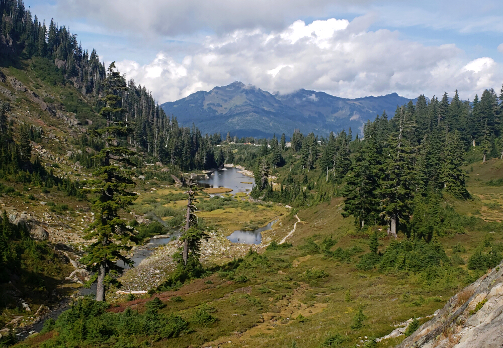
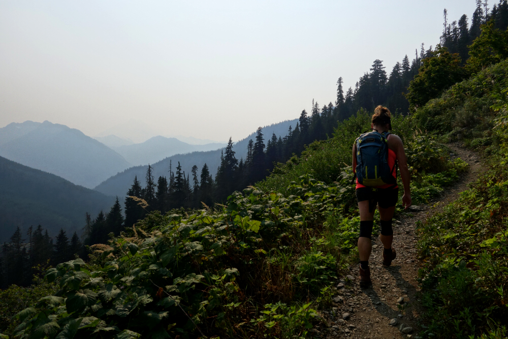
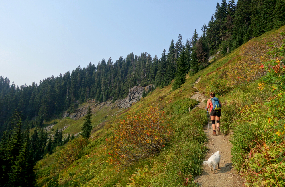
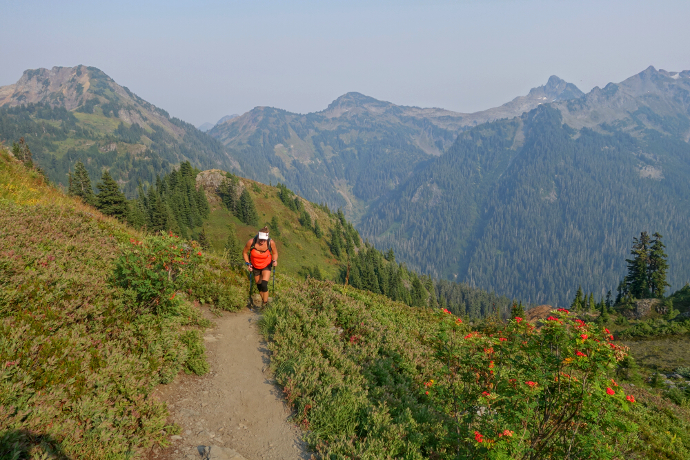
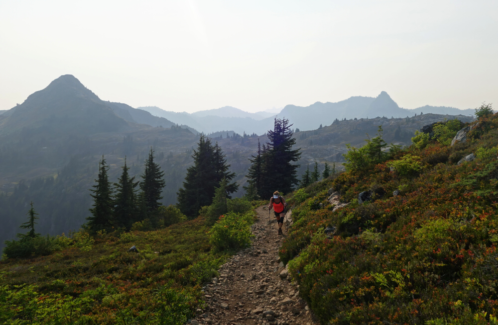
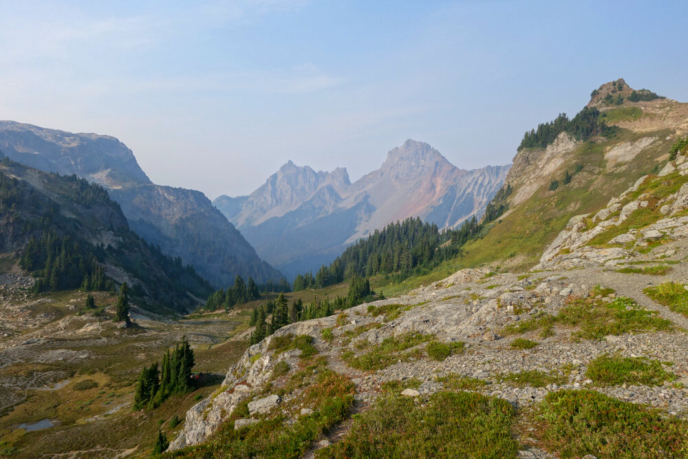
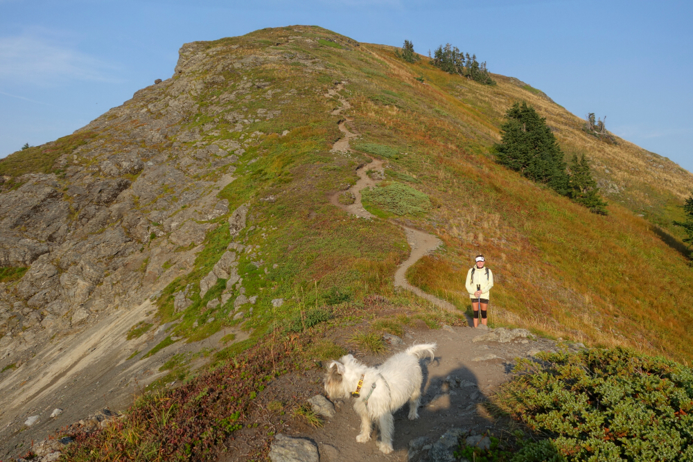
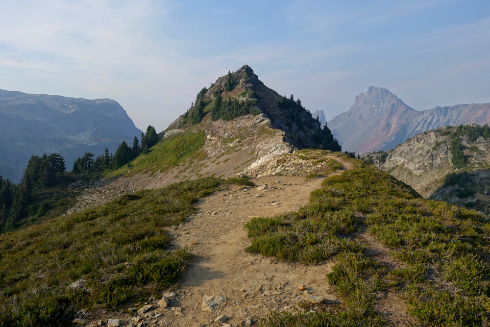
    We merged onto the Chain Lakes Trail at the outflow of Upper Bagley Lake and proceeded up into the small valley toward Herman Saddle. With the improving weather, glimpses of nearby Mount Shuksan began to appear, hinting at excellent views that would soon be ours to behold. We reached the saddle in what seemed like no time at all and, leaving the trail behind, turned up steep heather toward the crest of the timbered East Ridge of Mazama Dome. I wasn't entirely sure what my objective was, other than getting up on top of something with a name I could claim as a feather worthy of my cap. Mount Herman to the north looked interesting, but seemed a bit more involved than I realistically had time for-I'd promised to be back in about two hours, tops. Fortunately, Mazama Dome was just a short stroll away, and deciding it best to remain in Agata's good graces, I settled on this as my high point for the day.

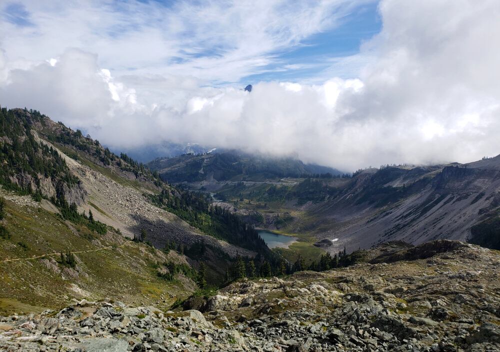
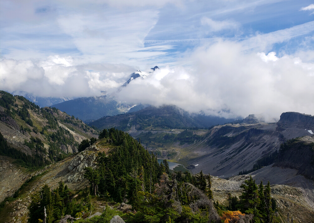
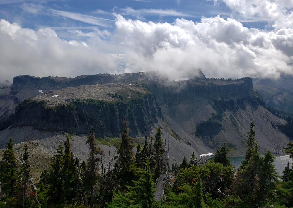
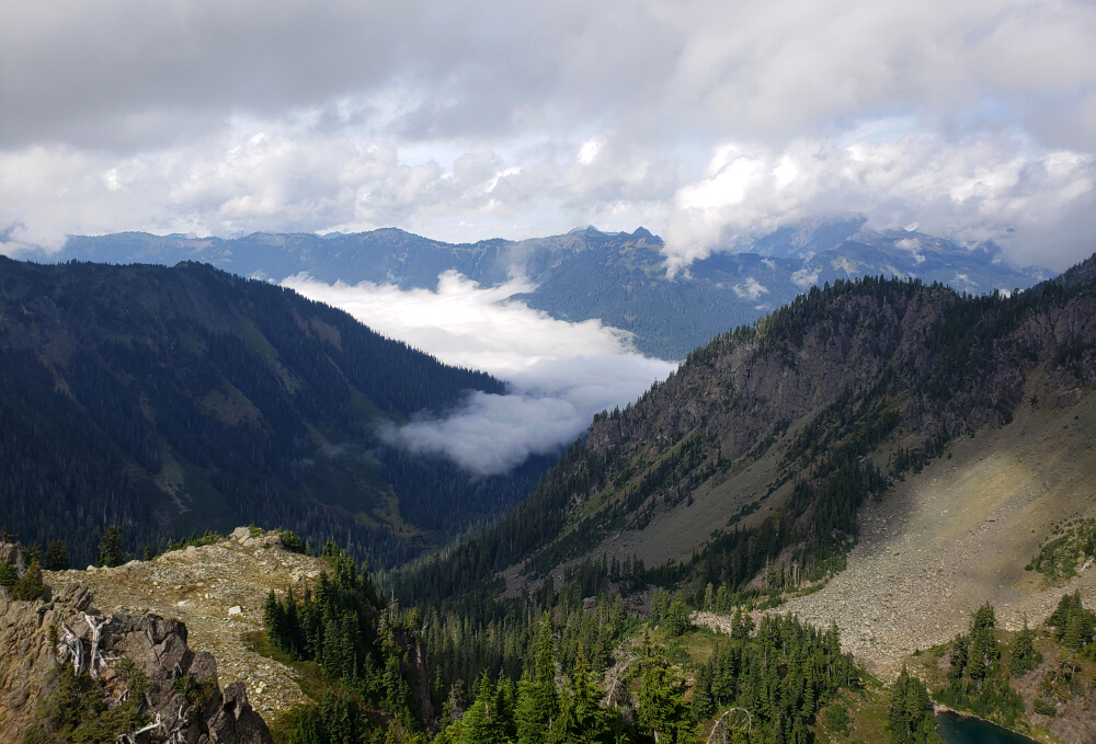
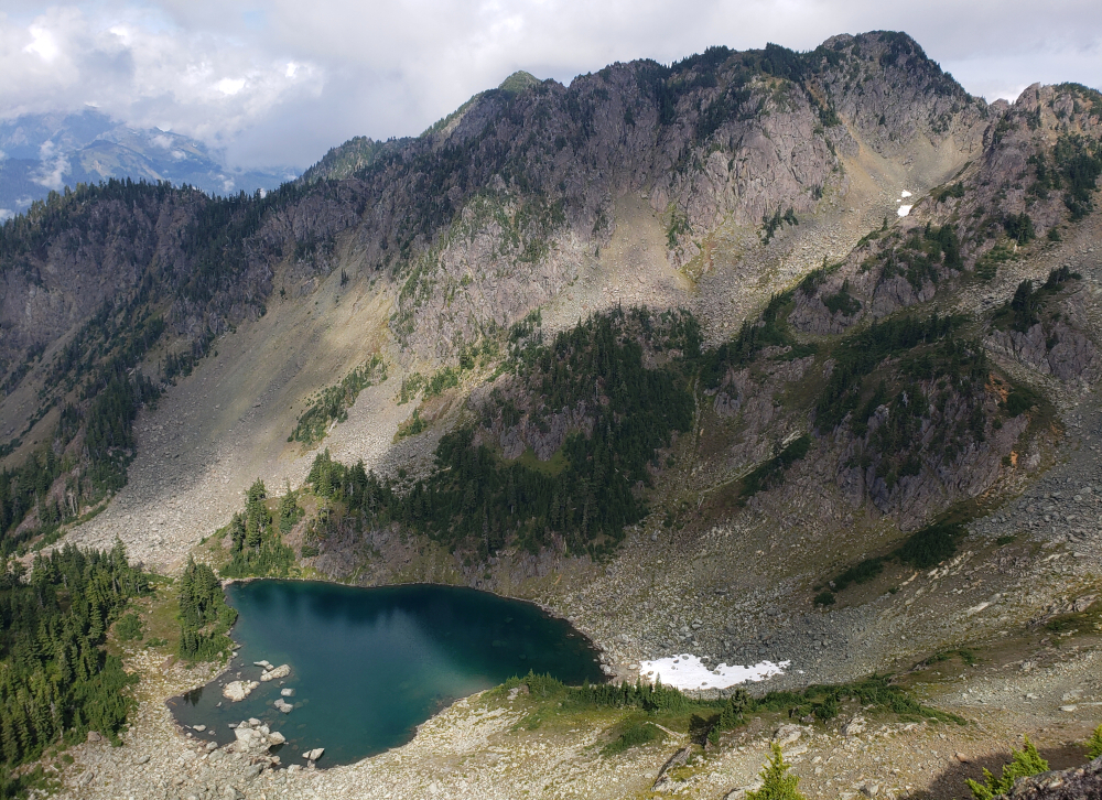
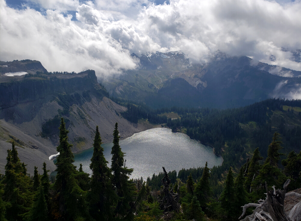
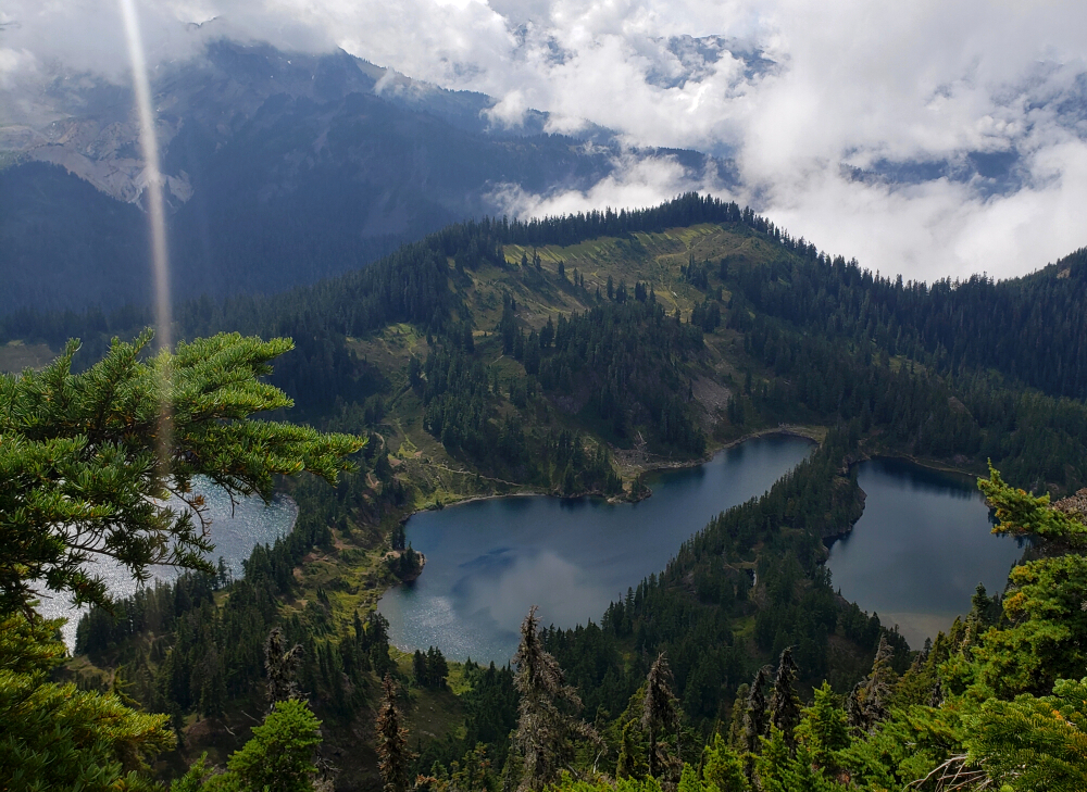
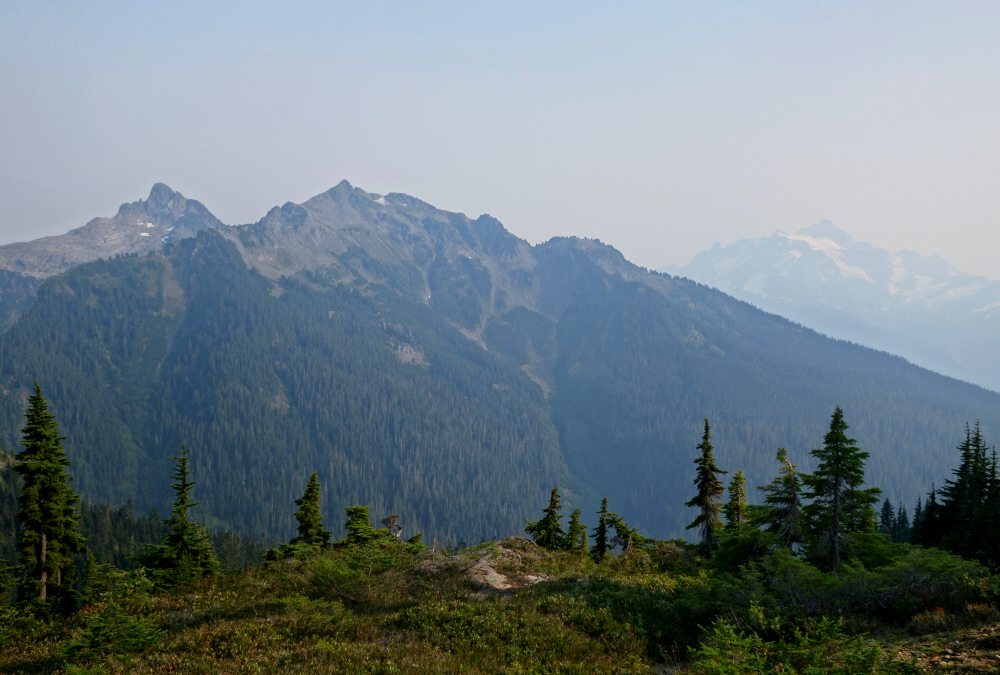
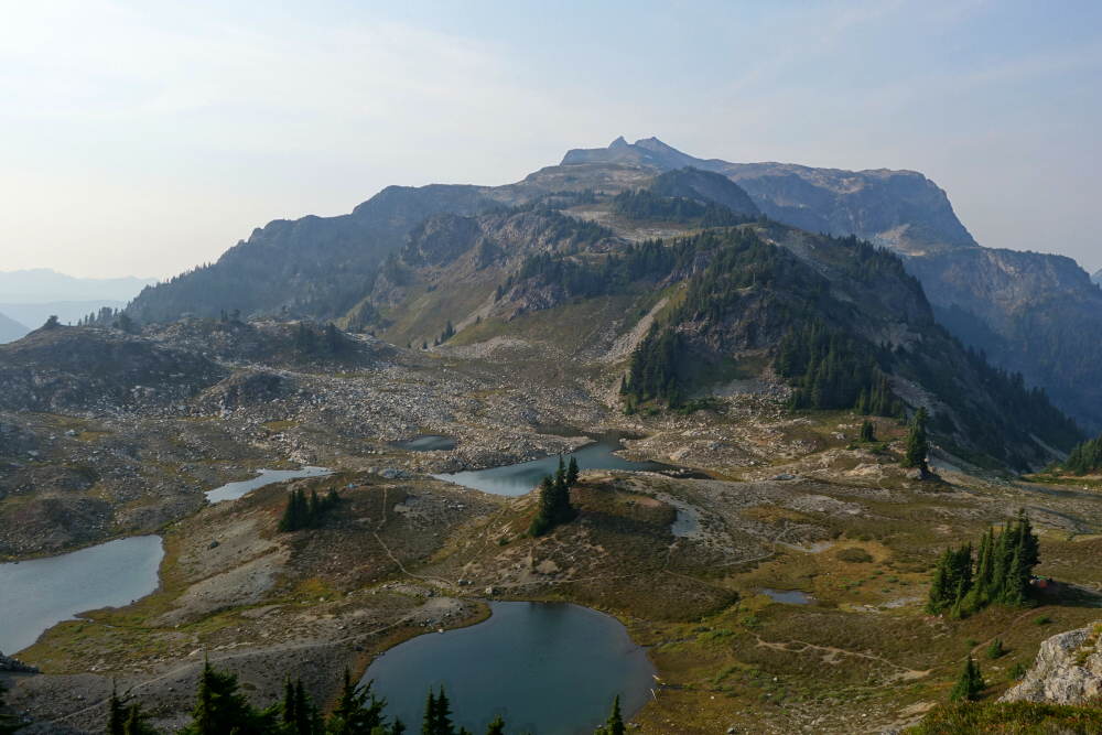
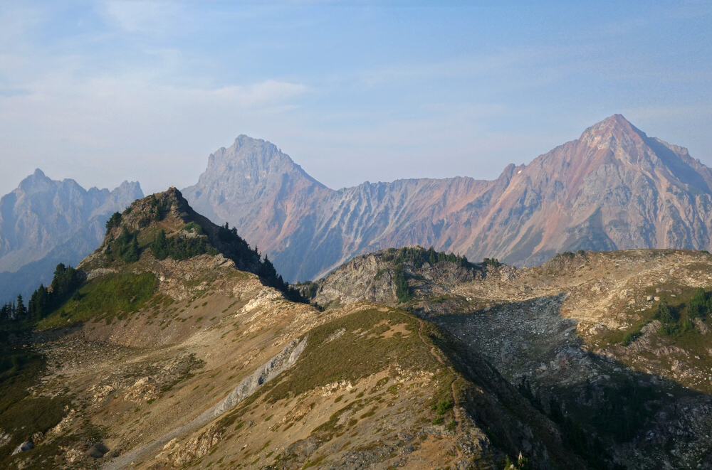
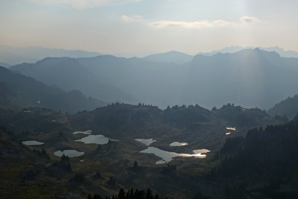
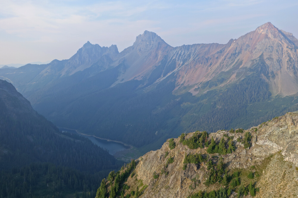
    A decent 360-degree panorama awaited from the partially treed summit, especially considering it tops out at a rather lowly 5,820 feet. The afternoon sun was doing its best to burn off the stubborn clouds swirling around neighboring mountaintops, but I couldn't linger long enough for that to fully materialize. Still, there were nice views toward Shuksan slowly emerging from its blanket of cloud, the craggy south face of Mount Herman, and down Anderson Creek Valley to the north. To the south, Table Mountain dominated the skyline, with a trio of lakes-Iceberg, Hayes, and Arbuthnet-spread out below to the southwest. 
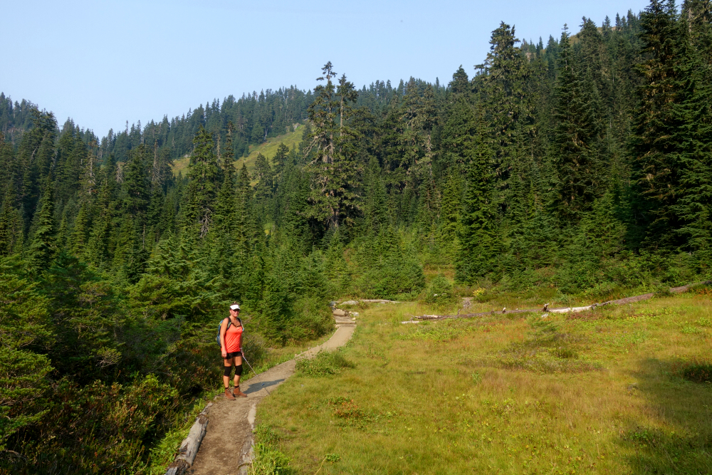
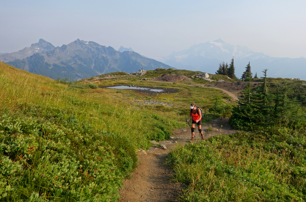
I returned via the low saddle between Mazama Dome and Mount Herman before rejoining the trail for the quick hike back to the parking lot. All in all, a very worthwhile couple of hours farting about the Bagley Lakes area.

    Click here to view.

    Thursday, January 15, 2026

    Yellow Aster Butte - Yellow Aster Butte Trail, September 2024


    Spent a couple-three days in early September doing the vanlife thing and hiking with my SO out in the Mount Baker backcountry. First up on the agenda was a quick late-afternoon rip up to Yellow Aster Butte (YAB). This was my second time kicking dirt up the Tomyhoi Lake Trail, having skipped YAB on the first visit and instead continued on to bag Tomyhoi Peak. Beautiful area as always-good trails, excellent scenery, and all that-except I always seem to visit toward the end of summer or into fall, when fire-smoke season is often at its peak. At least this part of the North Cascades is much closer to home than it was back in 2003 when I was still Seattle-based, and despite the limited distance views on this day, it's hard to beat the view-to-effort ratio on this one.

    We didn't get started until shortly after 3 p.m., but with the extended summer daylight we didn't need to rush. We left the main trail at the junction a bit over 2.5 kilometres in, shortly before Gold Run Pass, then traversed along the south side of YAB to reach a dirt platform low on the west shoulder of Peak 6148. The spur trail branching left toward a collection of small lakelets below was the route we'd followed en route to Tomyhoi all those years ago. This time, we turned right, climbing a series of tight switchbacks to the top of 6148. A short descent to a saddle followed, then an easy stroll along a well-defined trail to the summit proper, only about half a kilometer away.

    A wonderful 360-degree panorama awaited us on top, with the Border Peaks-Larrabee Group hard to miss to the north. Goat Mountain also showed nicely to the southeast, with Mount Shuksan visible behind despite the smoky haze. About 2.5 hours one-way at a casual pace, we were back at the trailhead by 8 p.m., with just enough daylight left to make it to a nearby campground before nightfall. All told, YAB made for a near-perfect late-afternoon outing: straightforward access, delightful terrain, and big views for modest effort. Smoke or not, it's easy to see why this area remains so popular, and why it keeps drawing me back even after multiple visits. A solid way to kick off a few relaxed days of wandering around Bakerland.

    Click here to view.
    home | email | copyright

    All photos and text for sverdina.com are copyright © 2002-2026

    It would be very much appreciated if you please ask before copying and/or re-publishing content from any part of these pages. To do so, please click here to send a message via feedback form.

    Thank You.

    ©2026 sverdina.com |