Select from list below to jump to a specific area on this site.
| Latest Posts |
Sunday, March 8, 2026
Cheam Peak - Mount Cheam Trail, October 2024
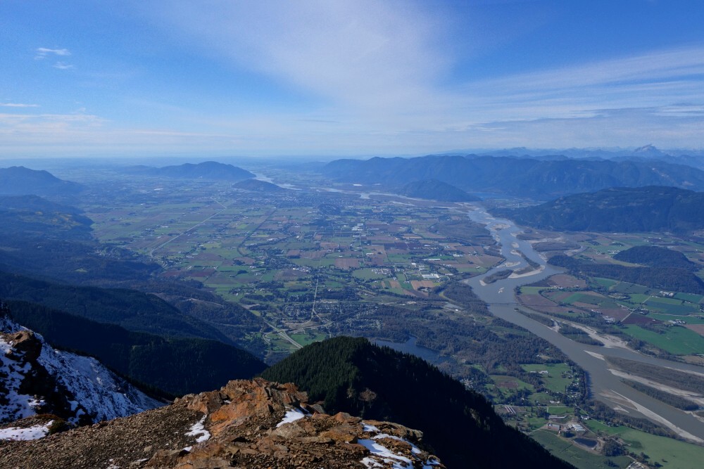
Repeating a theme from my recent Hollyburn report, Cheam Peak is arguably the lowest summit in the Cheam Range, and my interest in repeating it was due to the whiteout conditions during my previous visit. Having climbed numerous other peaks in the range over the years-Welch, Stewart, Baby Munday (North), and Lady-I can say with confidence that Cheam offers the best views. From nowhere else can one enjoy such expansive vistas of the Fraser Valley, stretching from near Hope in the east to Abbotsford and beyond in the west. The summit itself is reached by a relatively short and easy hike from the trailhead, and despite its popularity and the steadily deteriorating access road, it remains very much a gem of the BC Cascades.
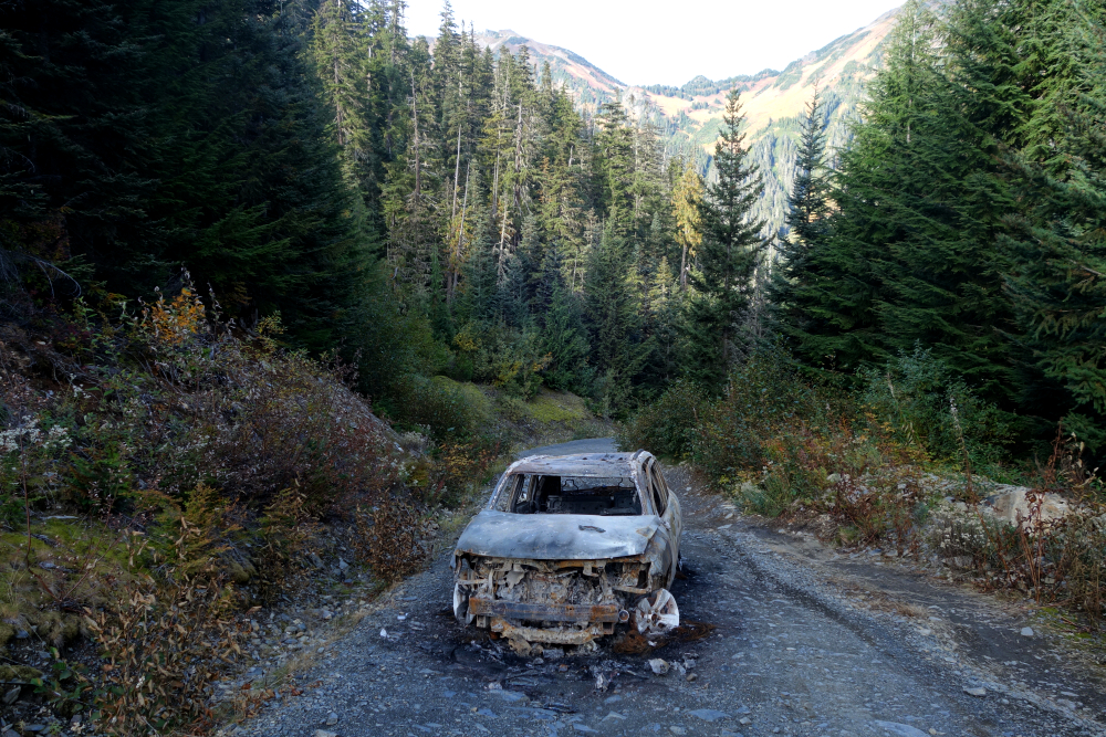
With all that in mind-and another fair-weather October day to work with-I found myself bouncing along the Chipmunk and Mount Cheam FSRs. The drive is doable in a 4x4 all the way to the end, but as mentioned, it's becoming increasingly rough and unpleasant. The burned-out hulk of what looked like a Jeep Compass sitting in the middle of the road partway up attested to the road's rough state-likely bottomed out in one of the deep cross-ditches, overheated, and caught fire. Fun! Thankfully, I encountered no commuting drama of my own and reached the trailhead to find no other vehicles parked there, which was both surprising and welcome.
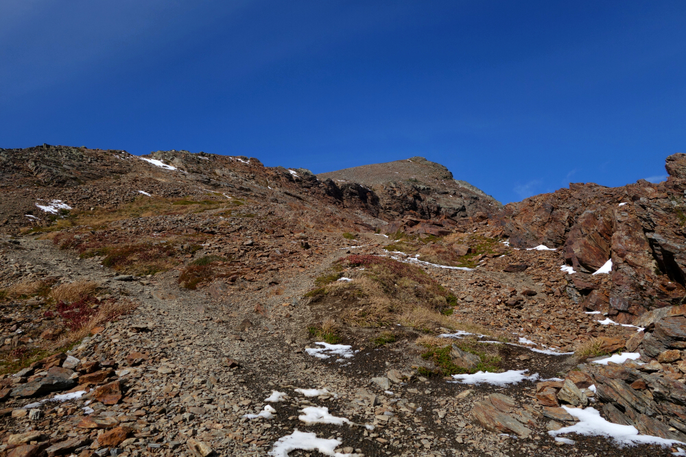
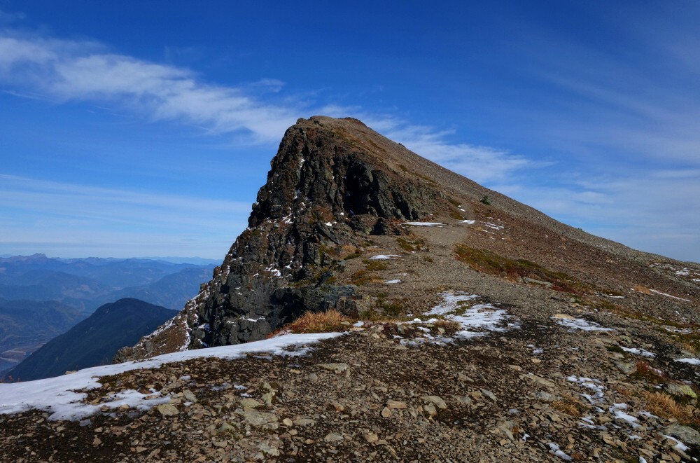
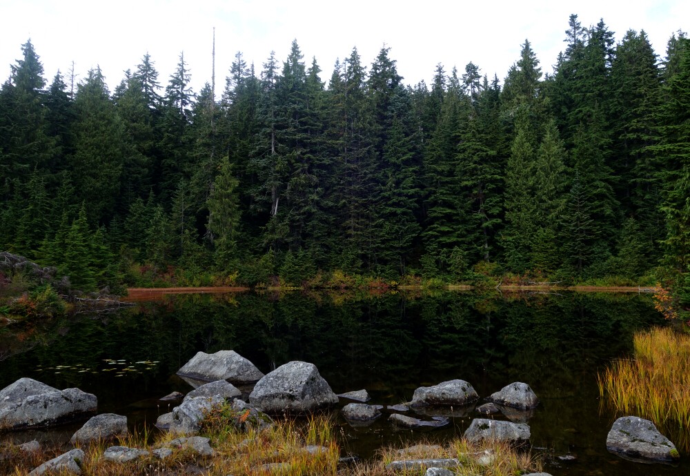
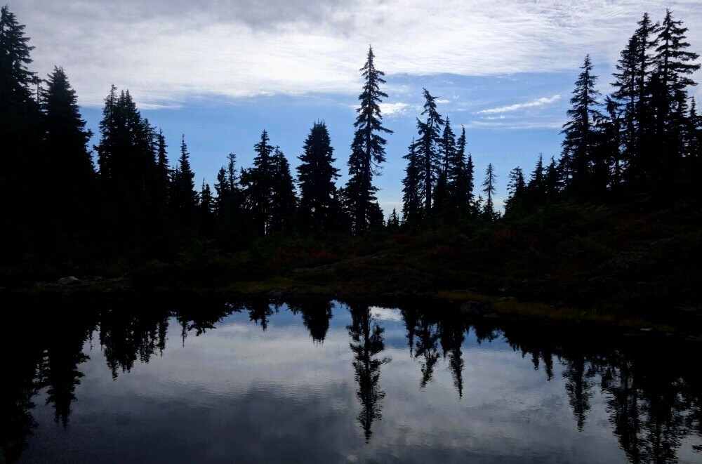
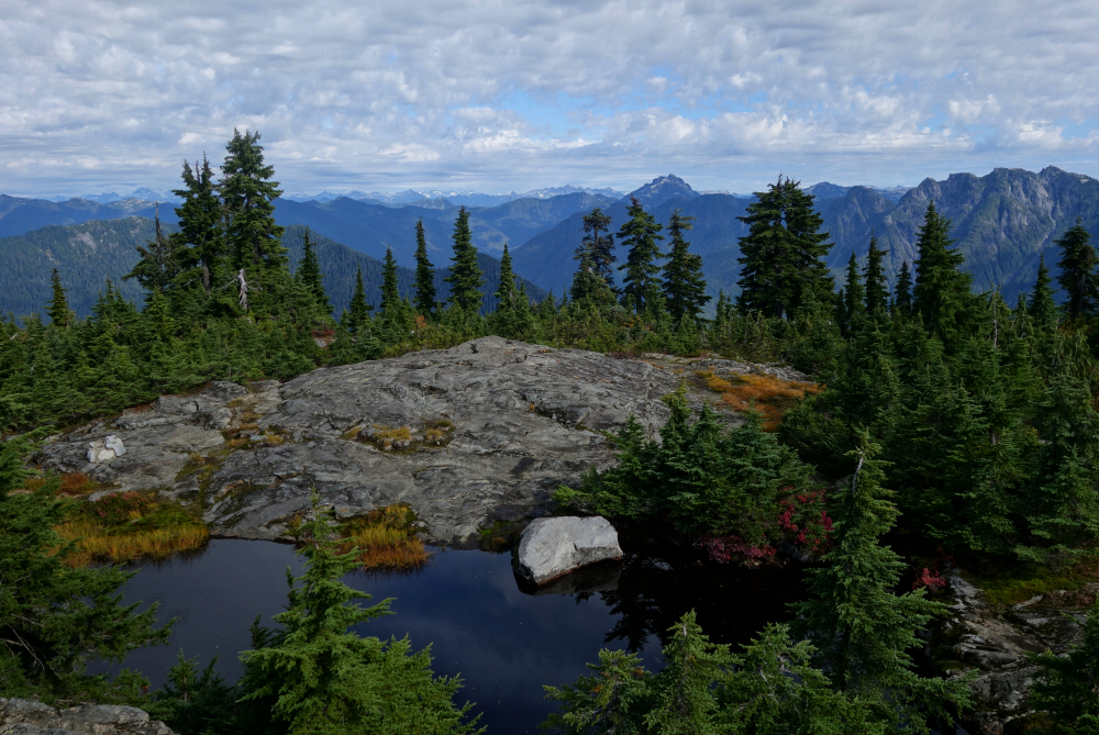
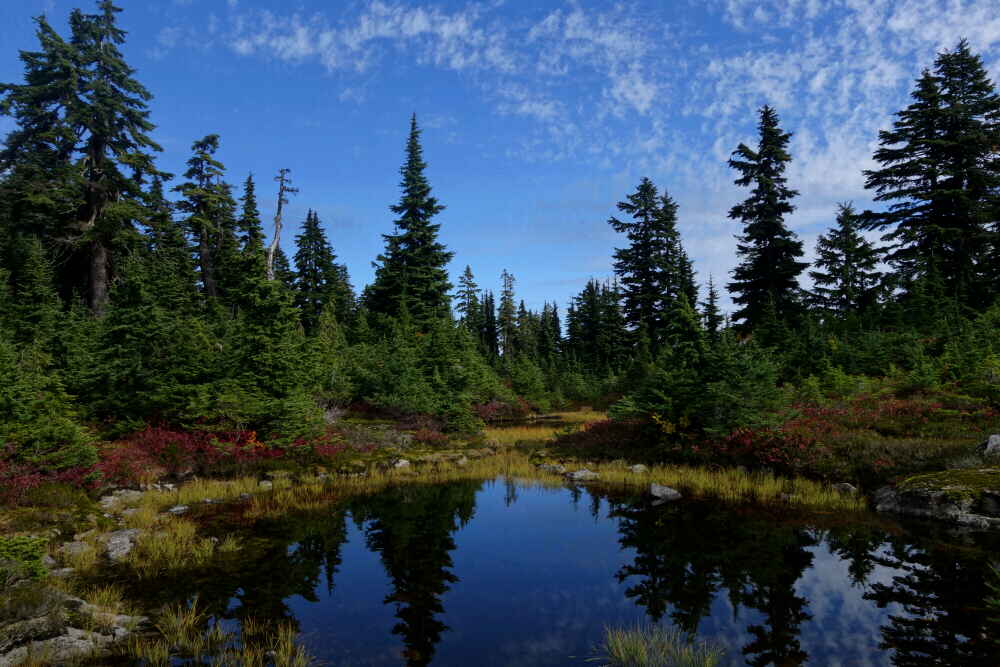
Soon enough I was back on the familiar trail, heading into the small amphitheatre formed by Lady and Cheam, passing the crater-like lakelet and continuing upward into the alpine. I ignored the spur leading to Lady about two kilometres in before switchbacking up Cheam's south slopes. The crest of the southwest ridge came quickly, with the true summit just a short climb away to the right.
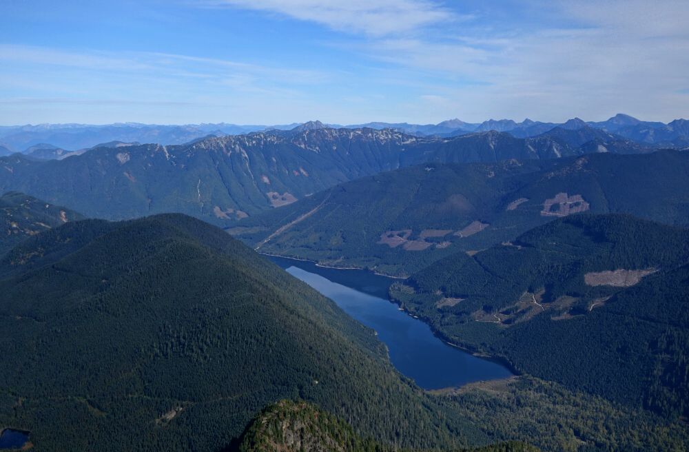
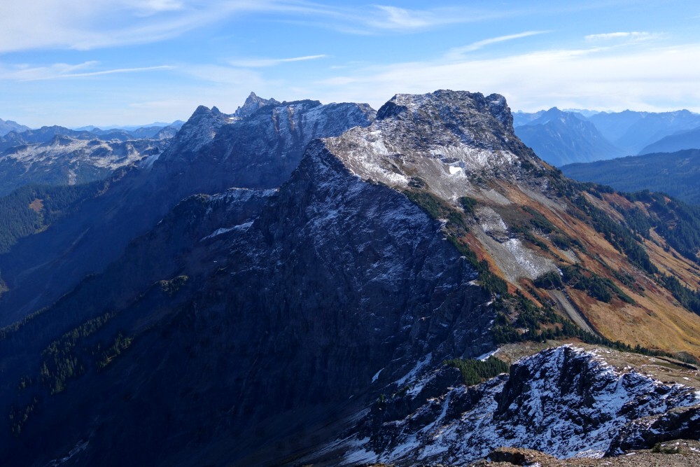
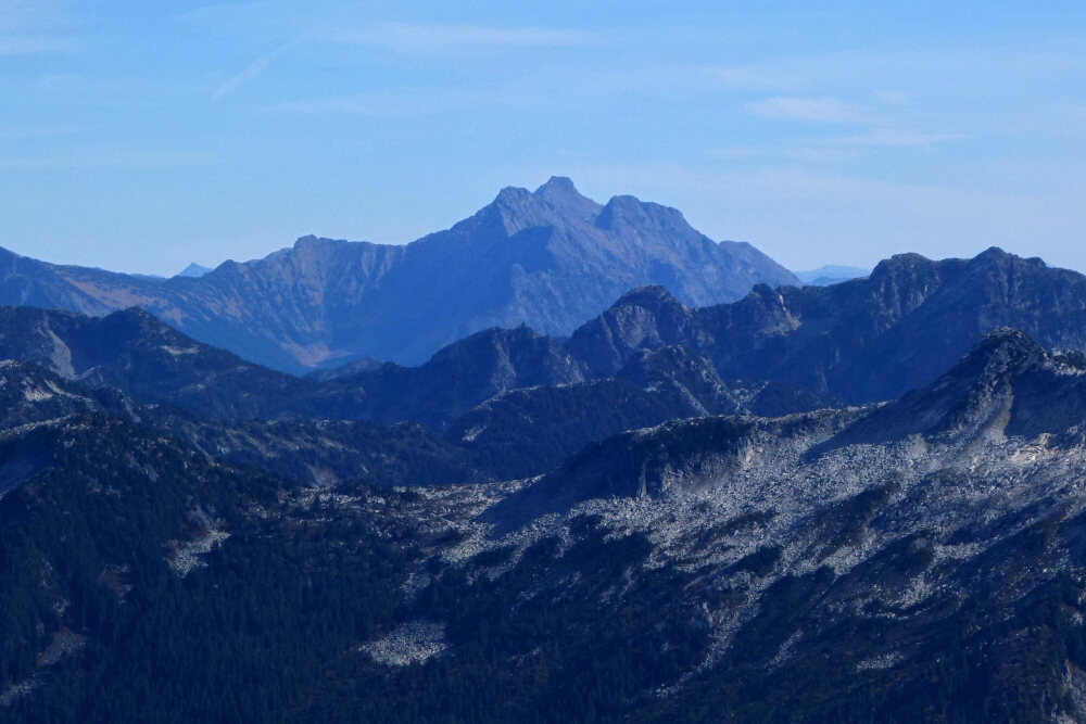
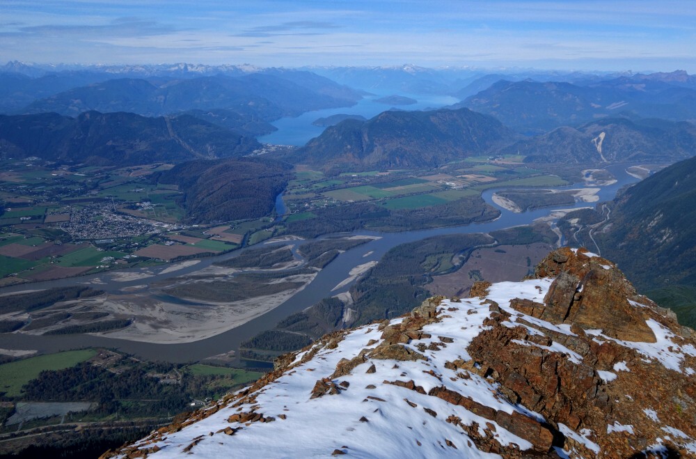
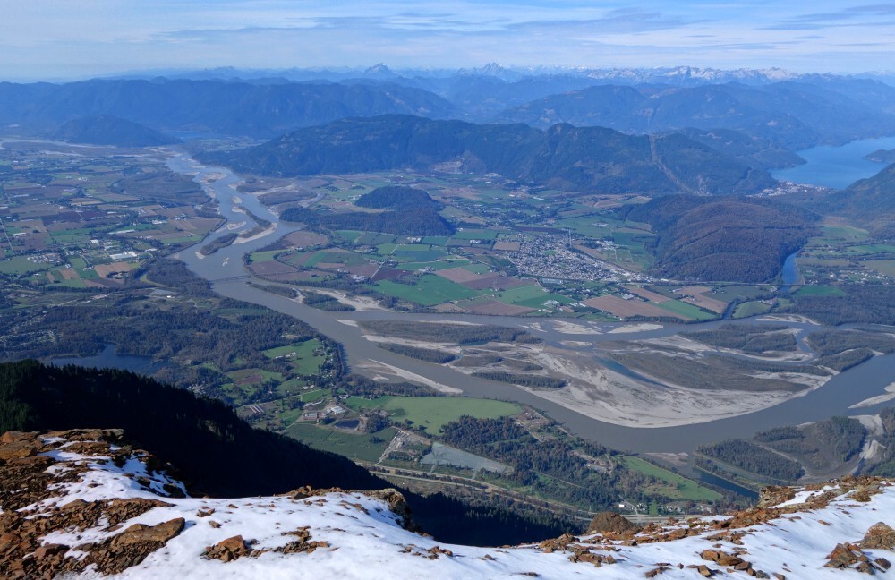
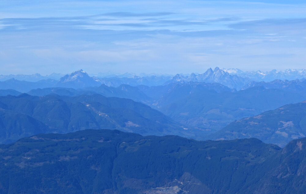
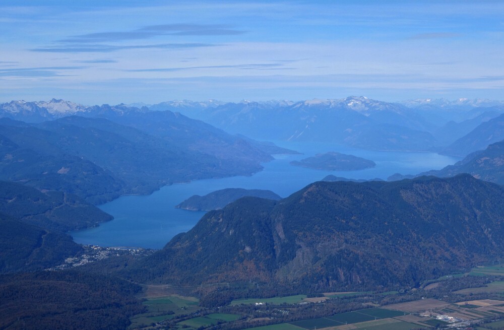
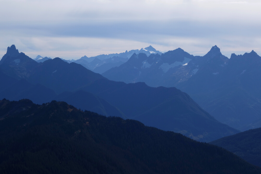
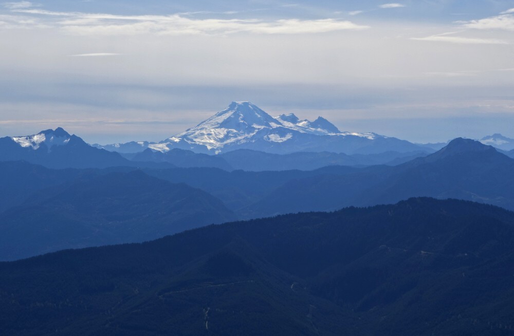
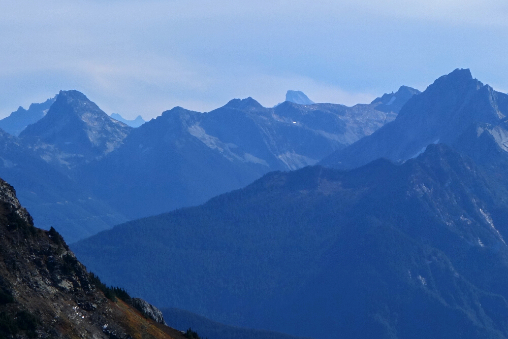
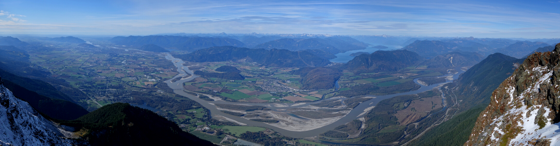
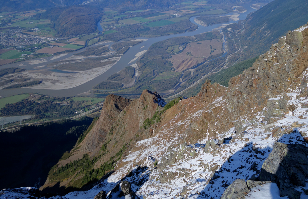
The views from the top were as stunning as advertised. The obvious highlight was the Fraser River and valley spread out almost directly beneath my feet, with Harrison Lake gleaming to the north and peaks ranging from Breakenridge to the right across to the Chehalis Range, Robbie Reid, and Judge Howay to the left. Looking south, a familiar yet timeless panorama unfolded, with Slesse, the Border Peaks, Tomyhoi, and Mount Baker stealing the show. Finally, there was a fine view along the spine of the Cheam Range itself, from Lady Peak right next door across to Welch and Foley at the far end, and even the runt of the litter-Conway-beyond that.
Having finally satisfied my curiosity about Cheam, I began the descent content to have at last experienced the legendary views for myself-and fairly confident it would be a very long time before I felt the urge to bump my way back up that road again.
Hollyburn Mountain - Hollyburn Peak Trail, October 2024
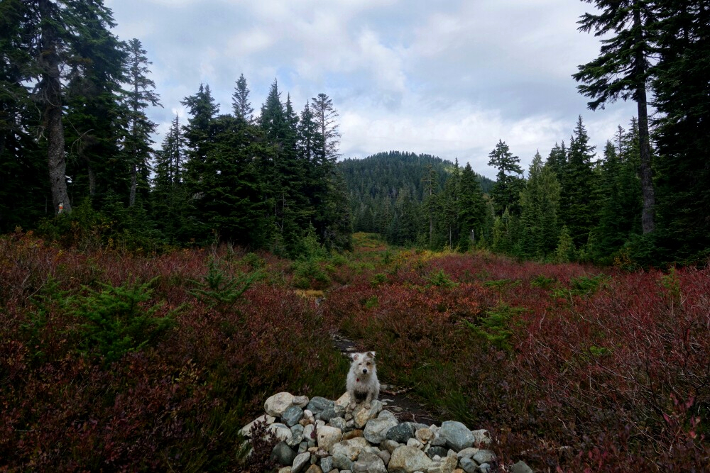
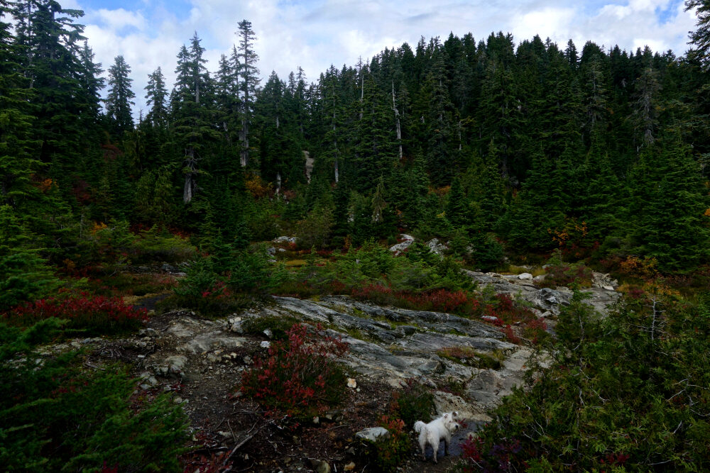
Of the peaks in the immediate vicinity of the Cypress Mountain ski resort, Hollyburn is arguably the lowest. Like its taller neighbours-Mount Strachan, Black Mountain, even Saint Marks Summit-it's a very popular objective, served by good trails and conveniently close to home. I'd been up Hollyburn once before, but that was in December 2018 under full whiteout conditions. With a couple of hours to burn on an otherwise fine October afternoon, it seemed like a good excuse to get out, stretch the legs, and-more importantly-see what I'd missed the first time around.
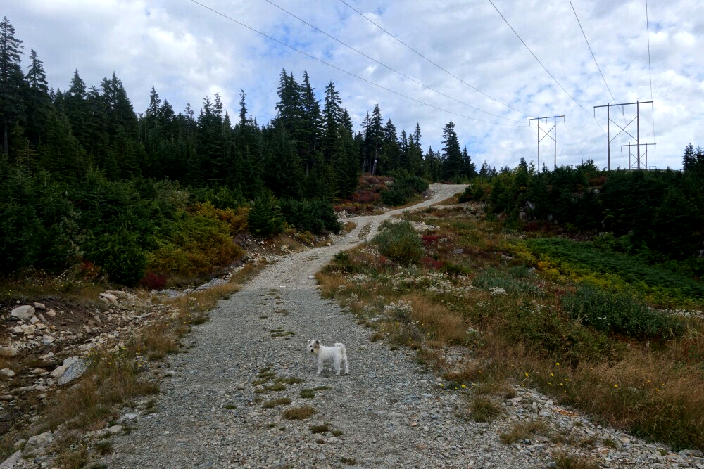
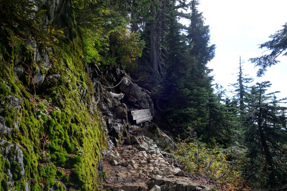
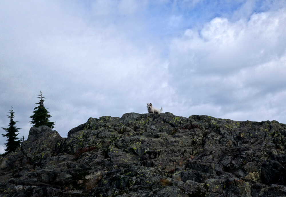
After a short drive up to the Nordic area, I set out along the wide powerline road with puppers in tow. A "winter" trail just north of here bypasses the road and heads in the same general direction, but the road was closer to where I parked, so that's the route I took. It's only a little over half a kilometre to the warming hut, where I turned left and continued northward along a broad trail. I carried on uphill, ignoring an obvious junction on the left about another 0.7 kilometer in-it leads down toward the resort base area. From there, it was another kilometer or so to the rocky summit outcrop.
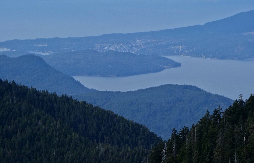
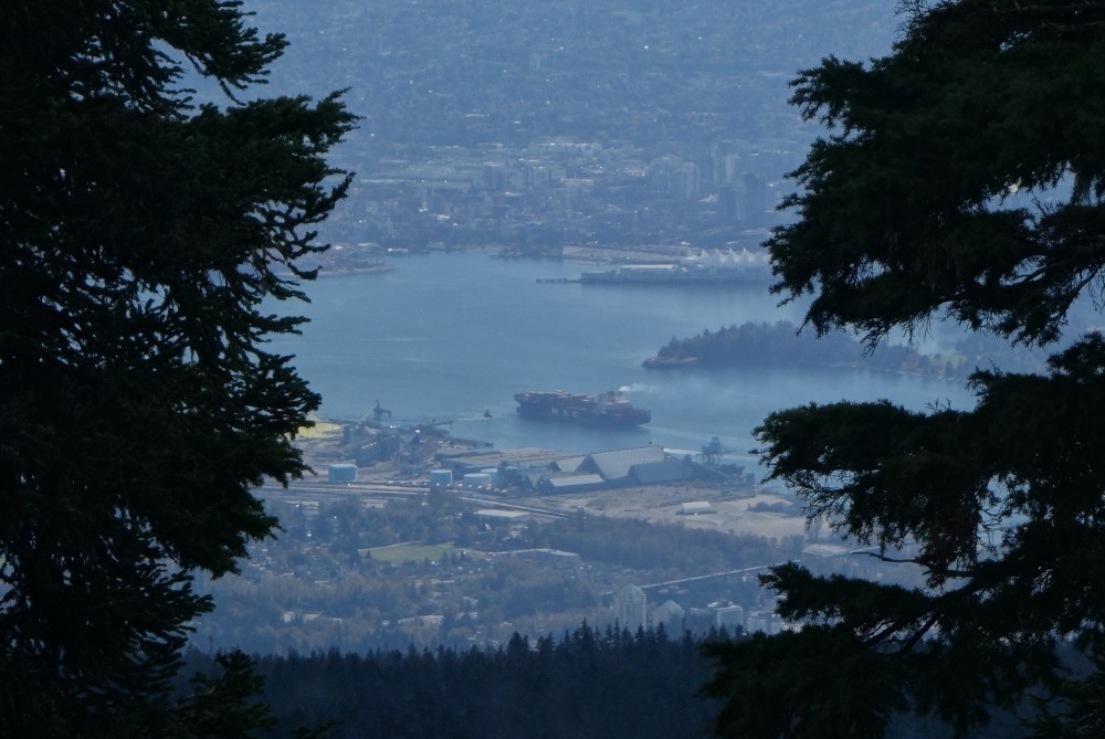
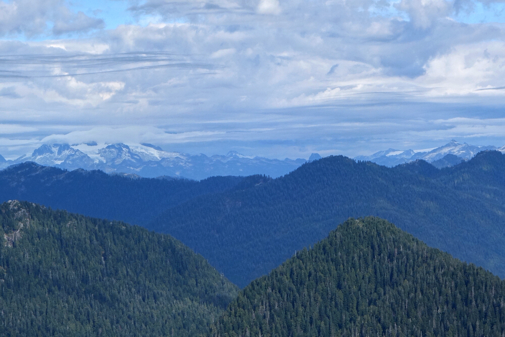
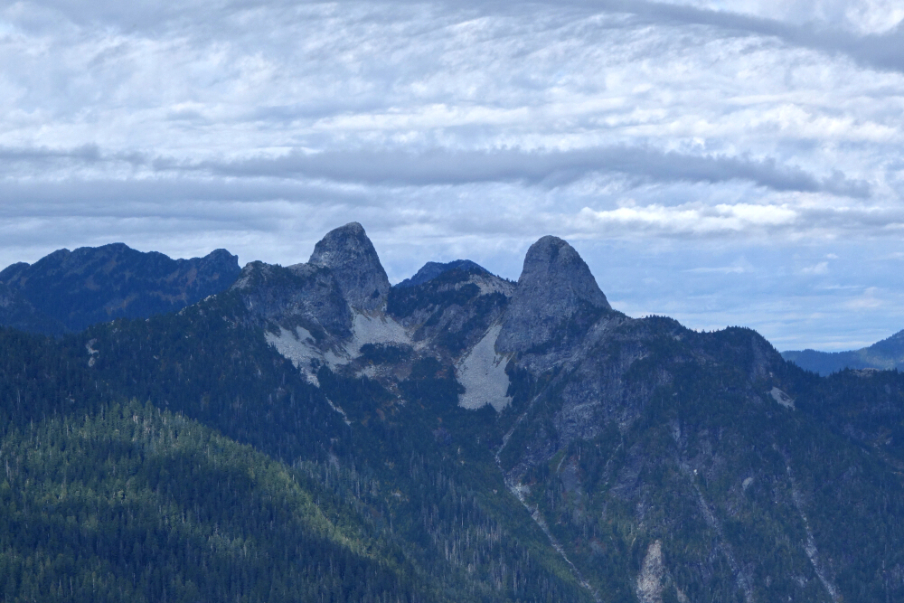
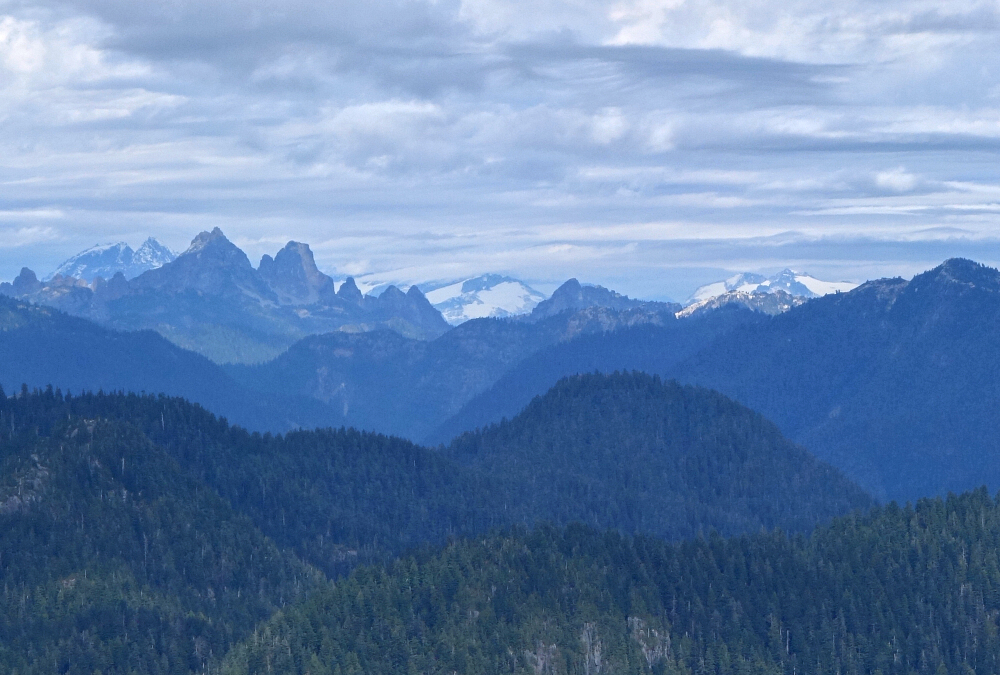
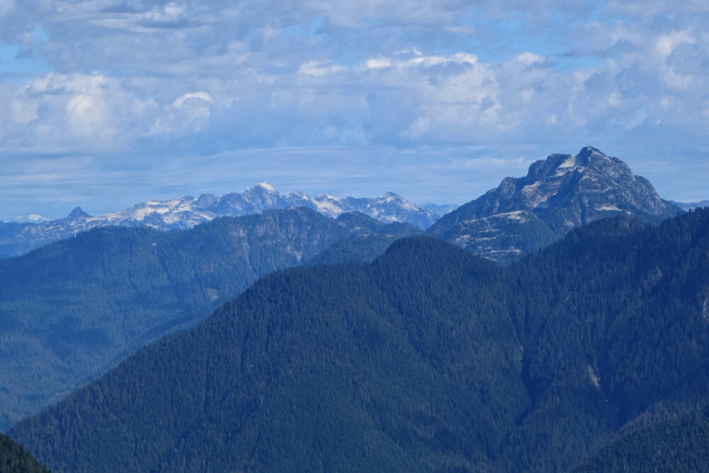
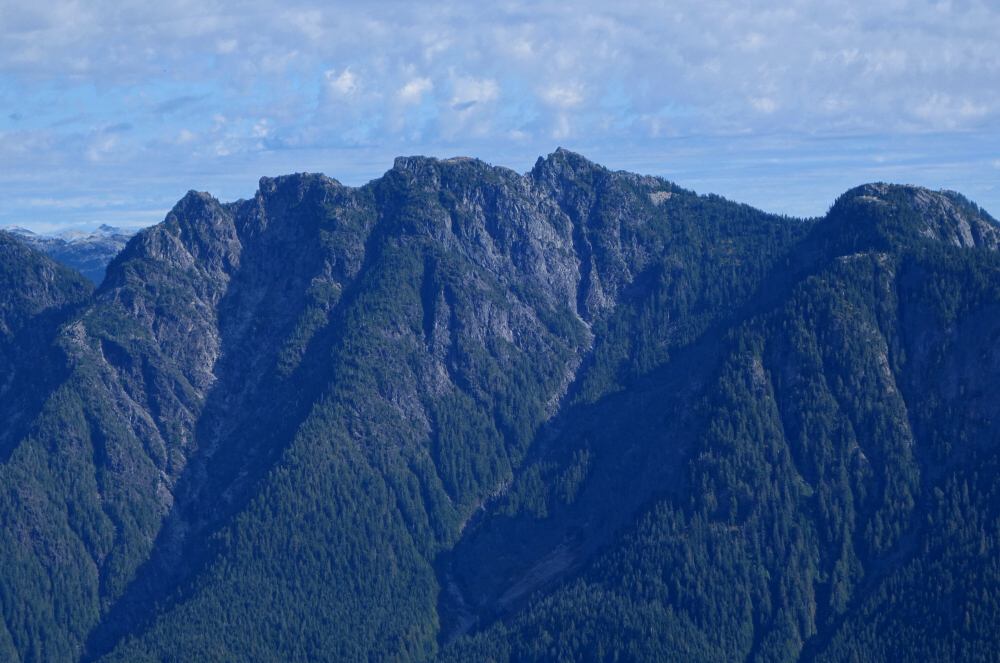
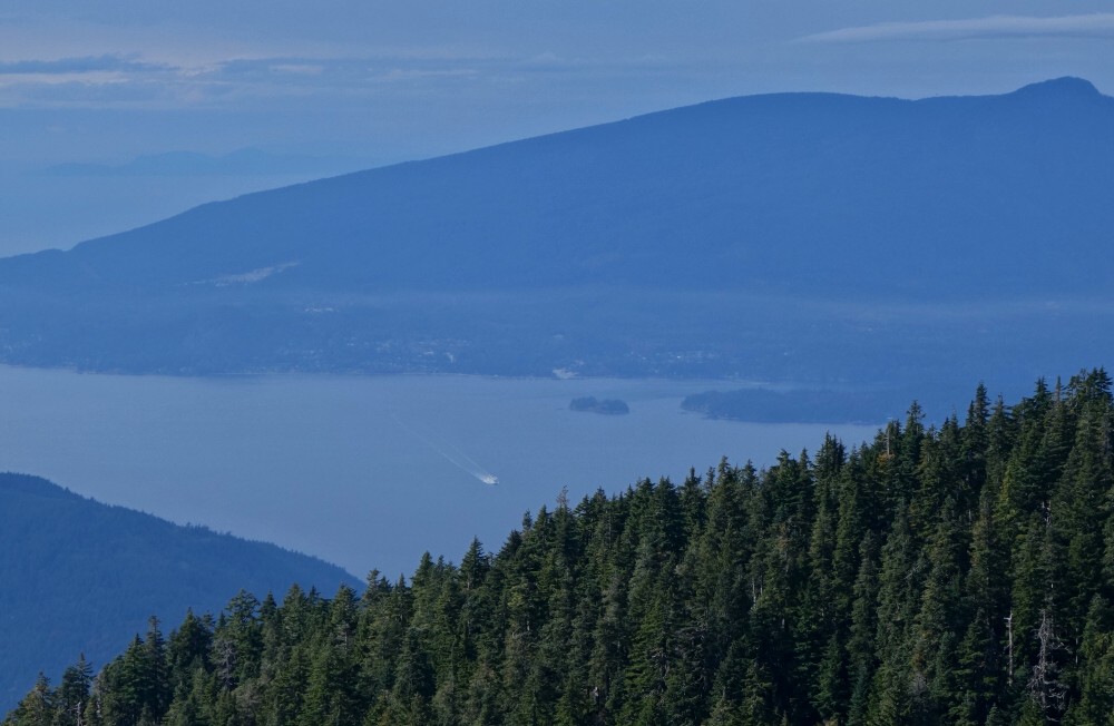
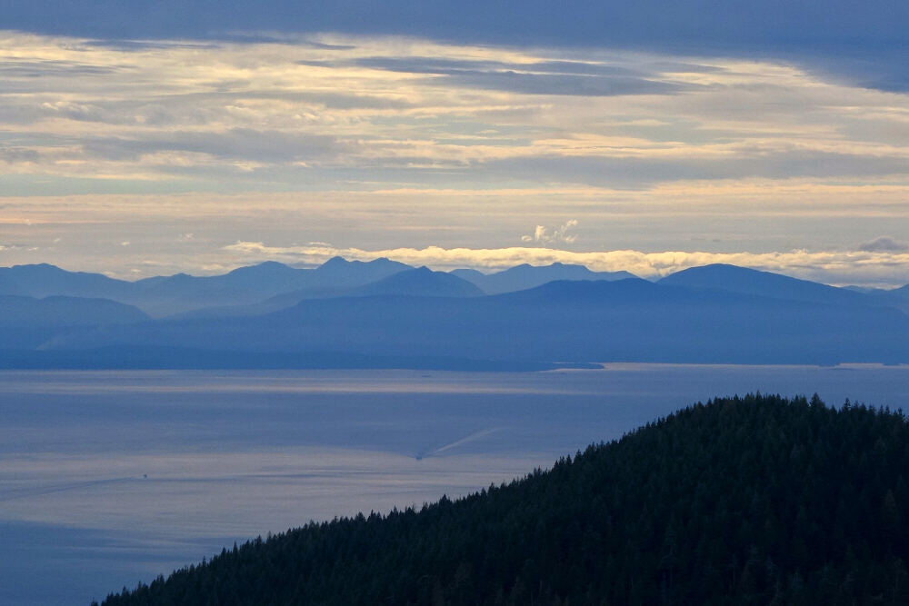
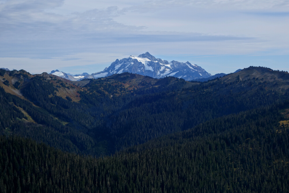
It took a bit of wandering around to find the best viewpoints, but the summit area is just open enough to offer decent glimpses of peaks, inlets, and islands depending on where you look. To the south, the Fraser Valley stretched out with Mount Baker and Shuksan looming on the horizon. Down below lay Burrard Inlet with its parade of container ships, while to the west Bowen and Keats Islands stood out clearly with Gibsons on the Sunshine Coast beyond. To the east rose the Crown group and Cathedral Mountain, and to the north the peaks of the Sky Pilot group and Mamquam Mountain completed the panorama.
After lingering a while and enjoying the clear autumn views, I eventually turned back the way I'd come. The descent was quick and easy, and before long I was back at the Nordic parking area with daylight still to spare. For a quick outing close to home with surprisingly good views, you could do worse than Hollyburn-especially when the weather cooperates.
Excelsior & Cowap - via Damfino Lakes Trail, October 2024
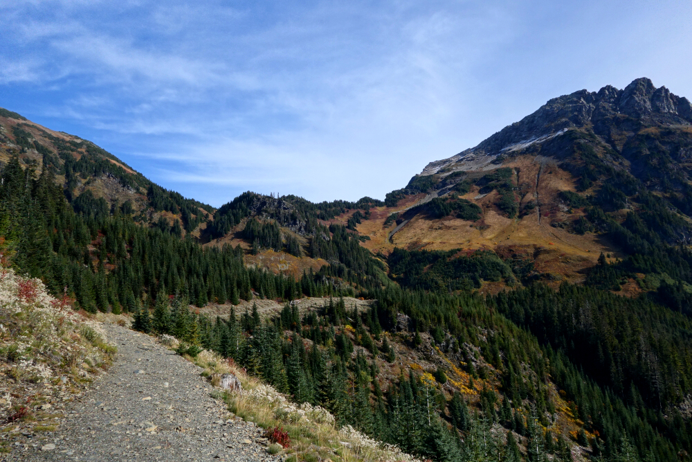
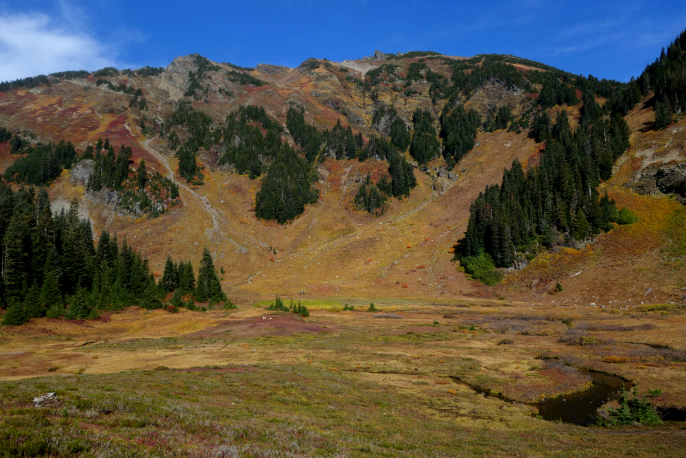
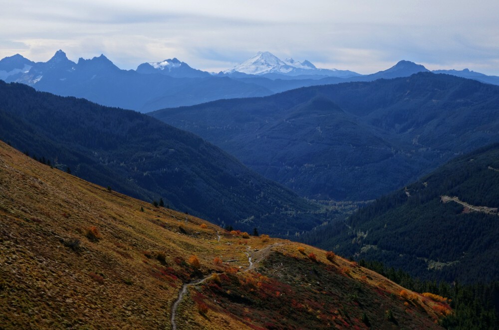
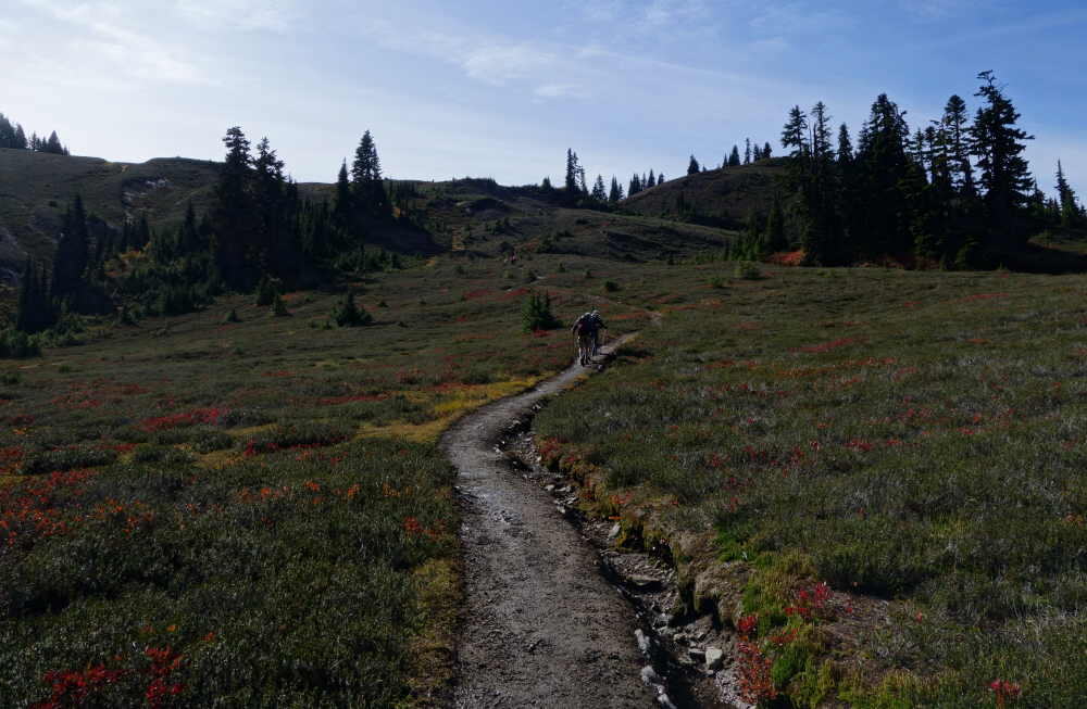
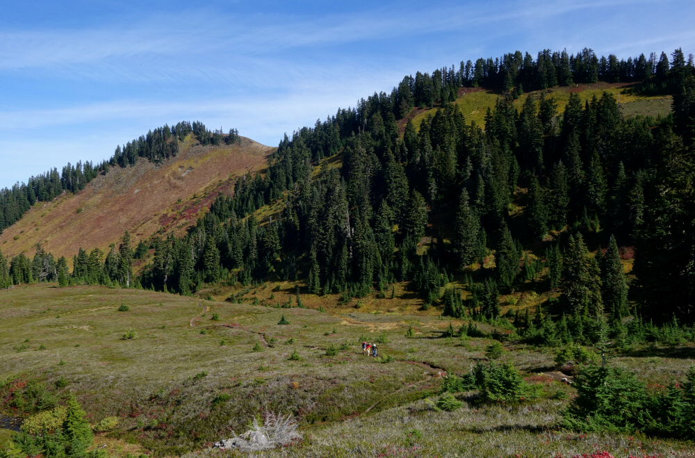
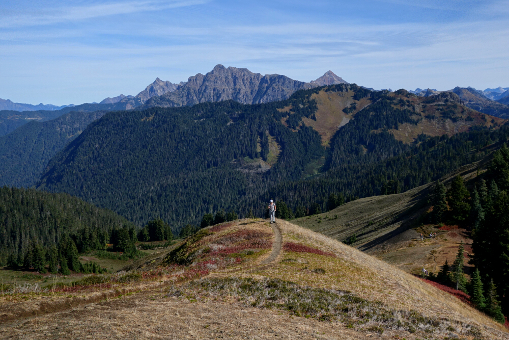
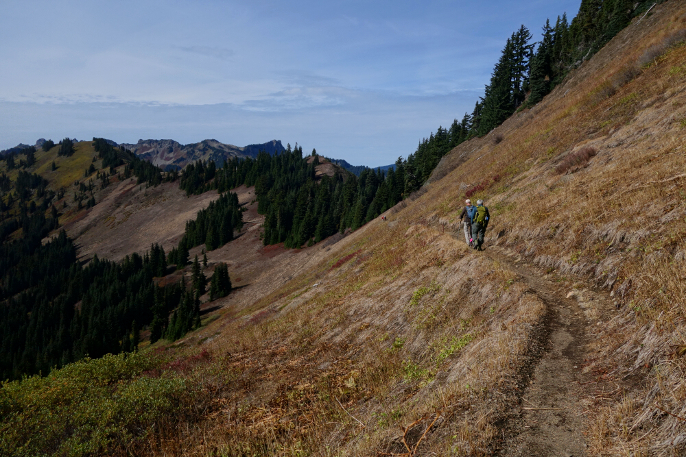
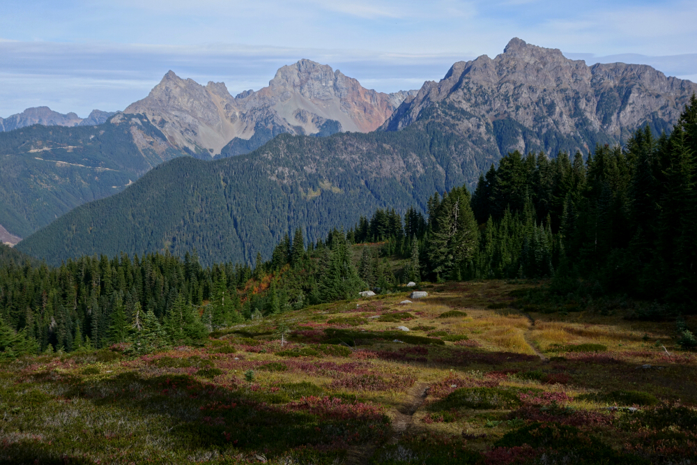
Excelsior Peak is essentially a high point along the roughly 28.5-kilometre ridge that runs more or less uninterrupted from Church Mountain in the west to Mount Larrabee and the Border Peaks in the east. Much of this crest is served by established trails-primarily the High Divide Trail-along with several feeder routes approaching from both the south and north sides. Unsurprisingly, it's a very popular hiking area, offering expansive views in all directions. Regardless of the chosen approach, distances and elevation gain are generally quite friendly, with options for extended thru-hikes, loops, and add-on peaks depending on one's ambition. It makes for a low-stress late-season objective, complete with fall colours and pleasantly unhurried travel. Being an otherwise new area for me, I opted to approach via the Damfino Lakes Trailhead.
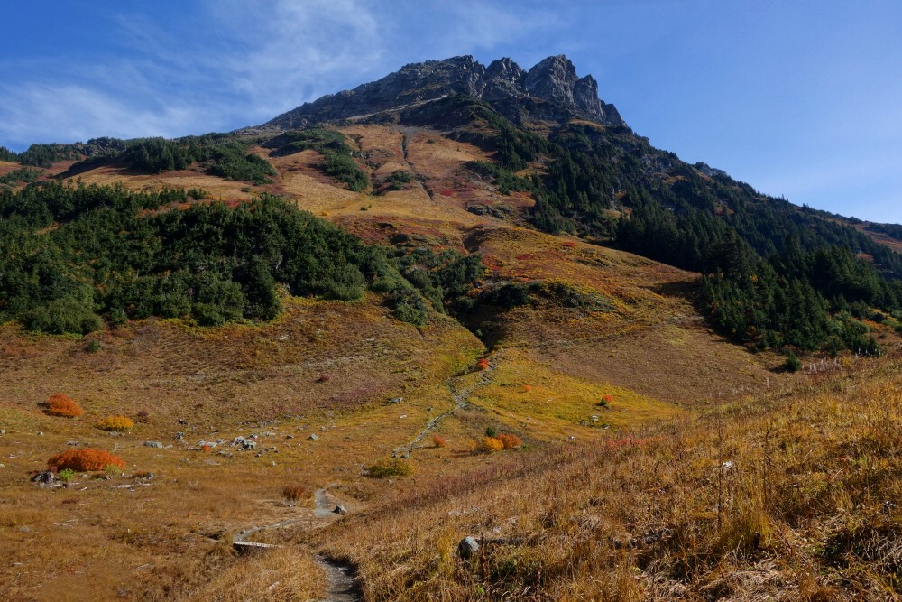
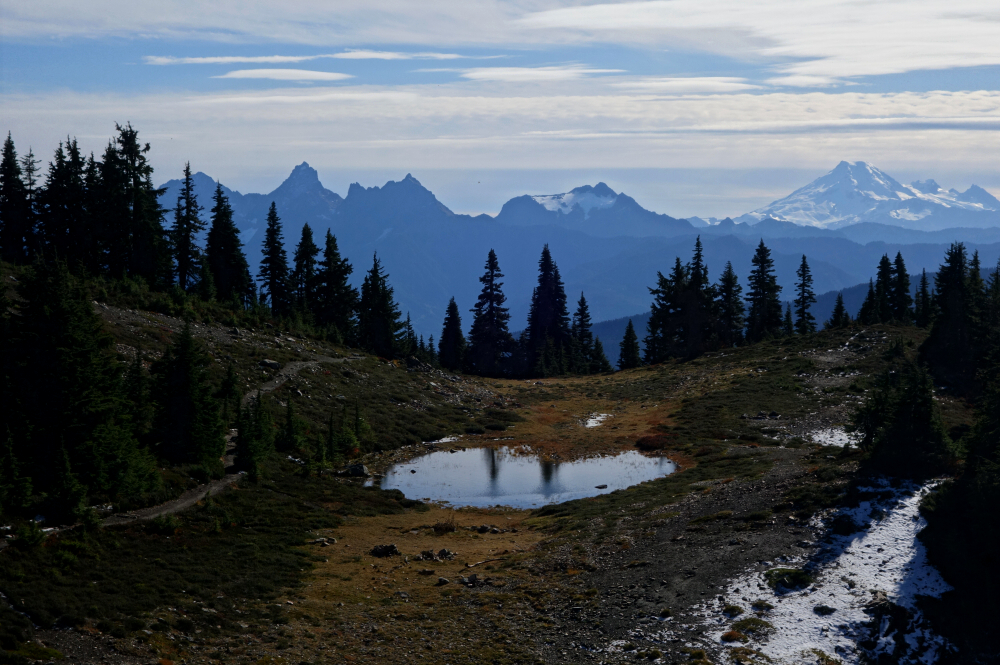
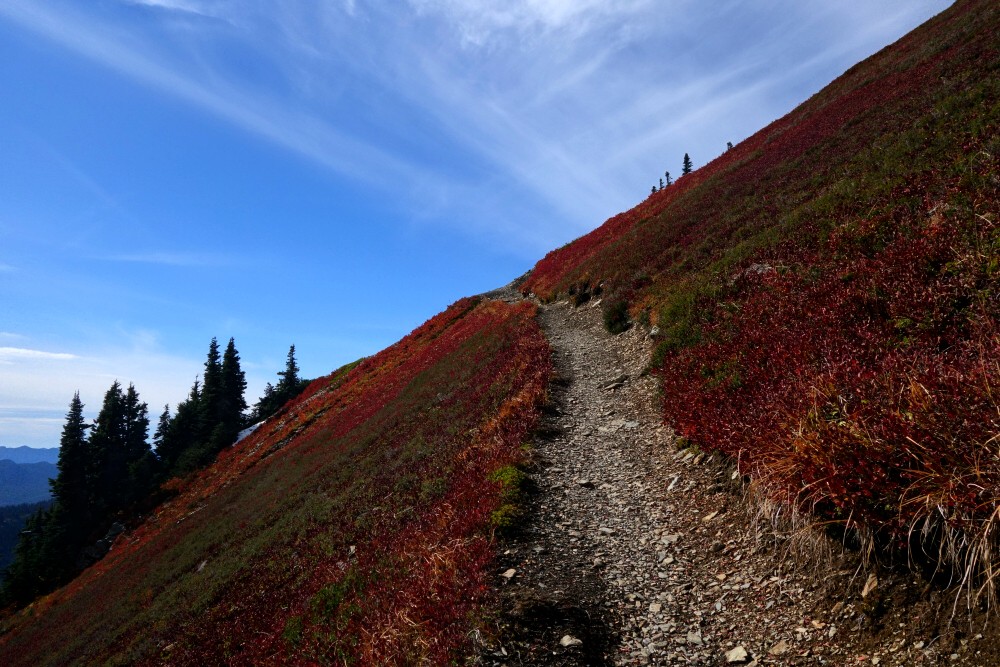
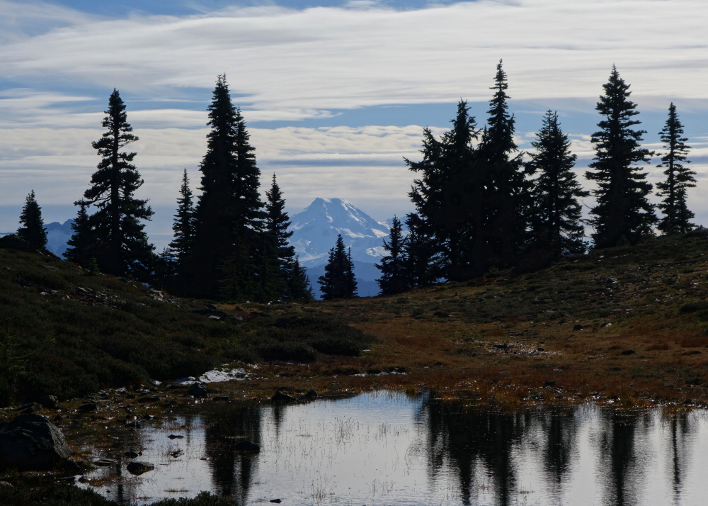
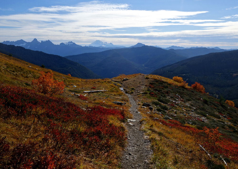
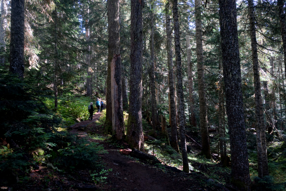
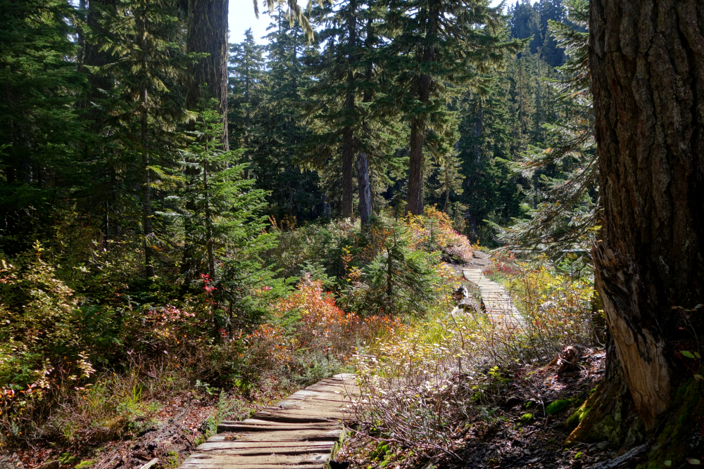
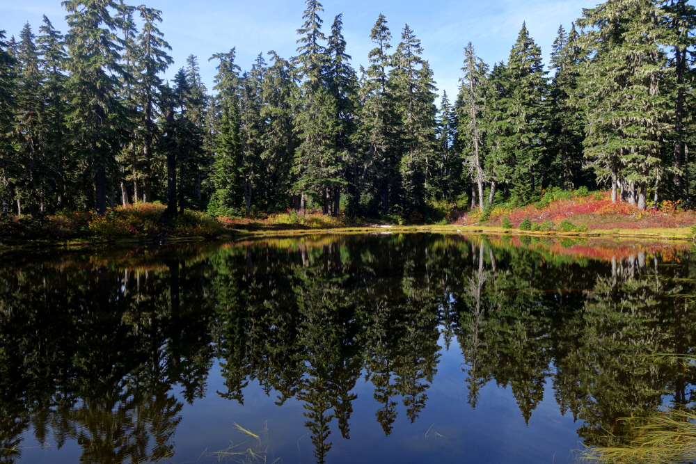
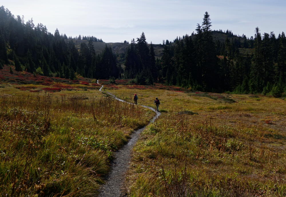
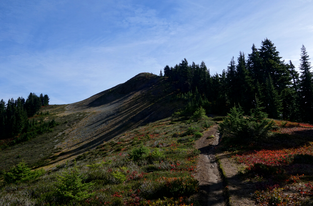
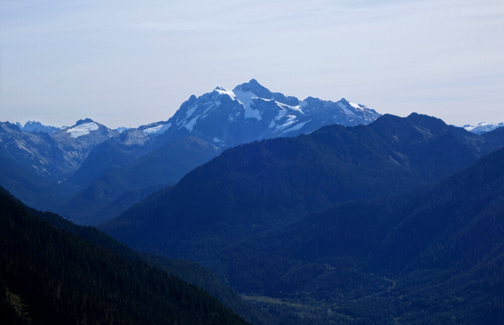
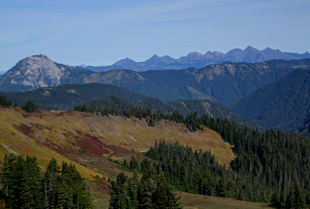
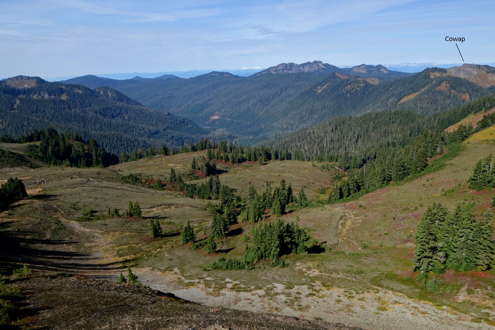
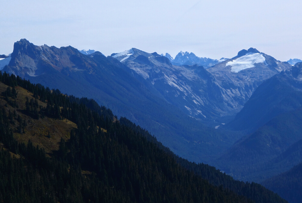
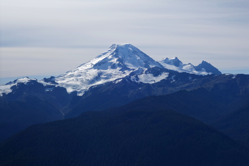
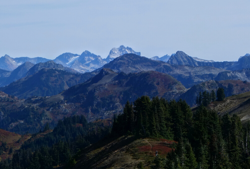
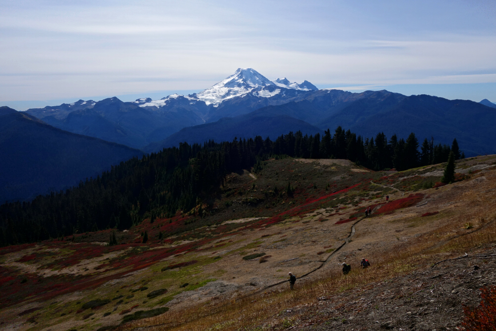
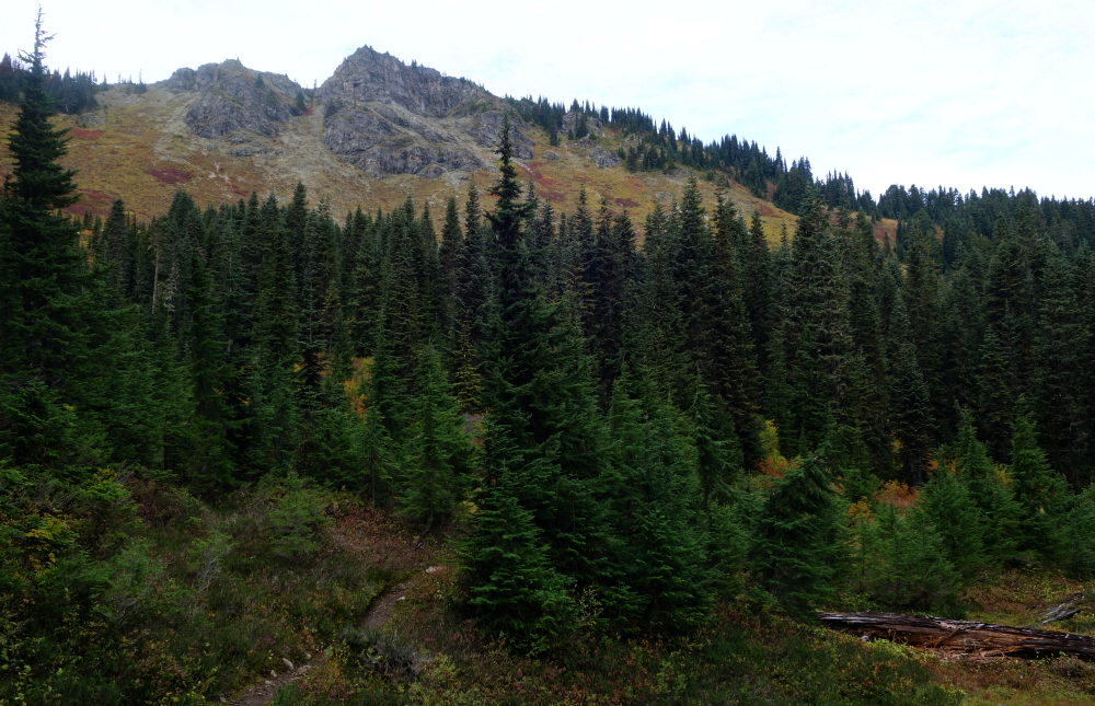
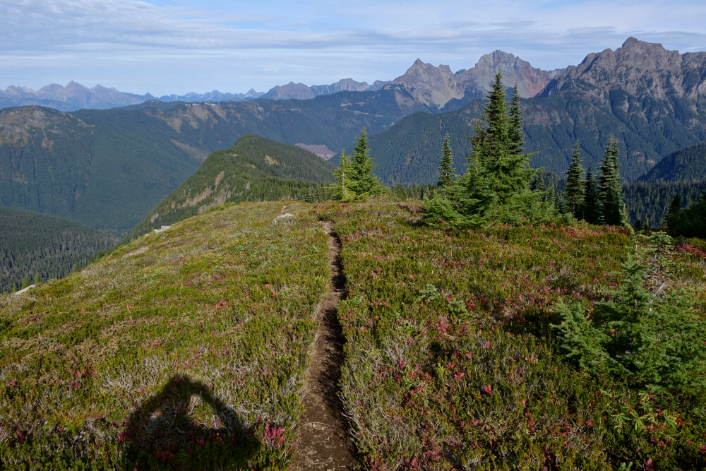
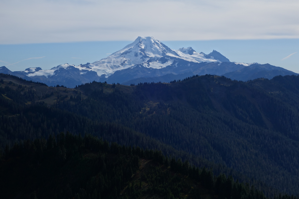
The trailhead was already bustling when I arrived shortly after 11 a.m. on an early October day, forcing me to park along the shoulder below the official lot. It's just over a kilometre to Damfino Lakes-quaint but otherwise "meh"-passing the Canyon Ridge/Boundary Way junction I'd later use for Cowap Peak. From the lakes, another 3 kilometres or so of steady climbing led to Excelsior Pass, with autumn reds beginning to show in the heather along the way. A short hike from the pass gains Excelsior proper, where the promised views were immediately delivered. All the usual suspects were out: Mount Baker, Shuksan, Church, Sefrit, the Border Peaks, Ruth, Icy, the Twin Sisters, and even farther east toward Redoubt. Not bad for an otherwise ~5,700-foot "nothing" peak.
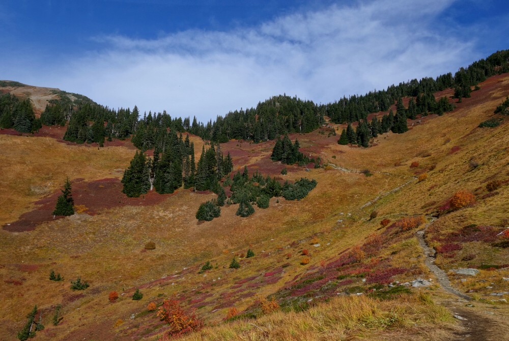
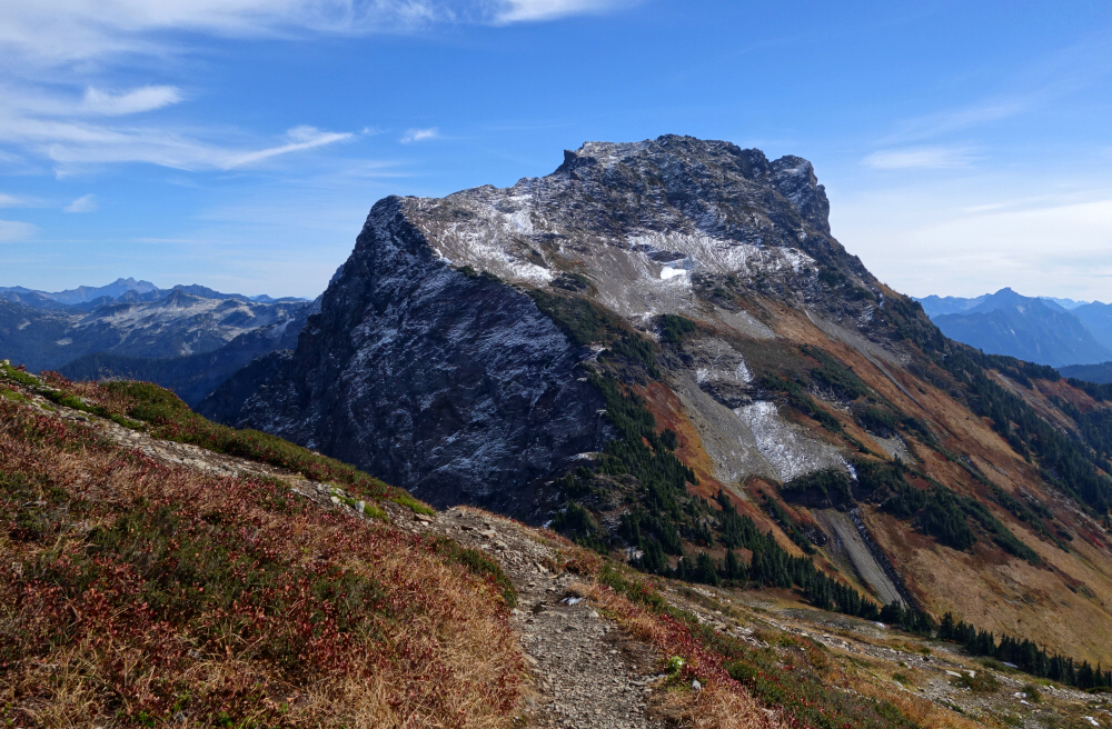
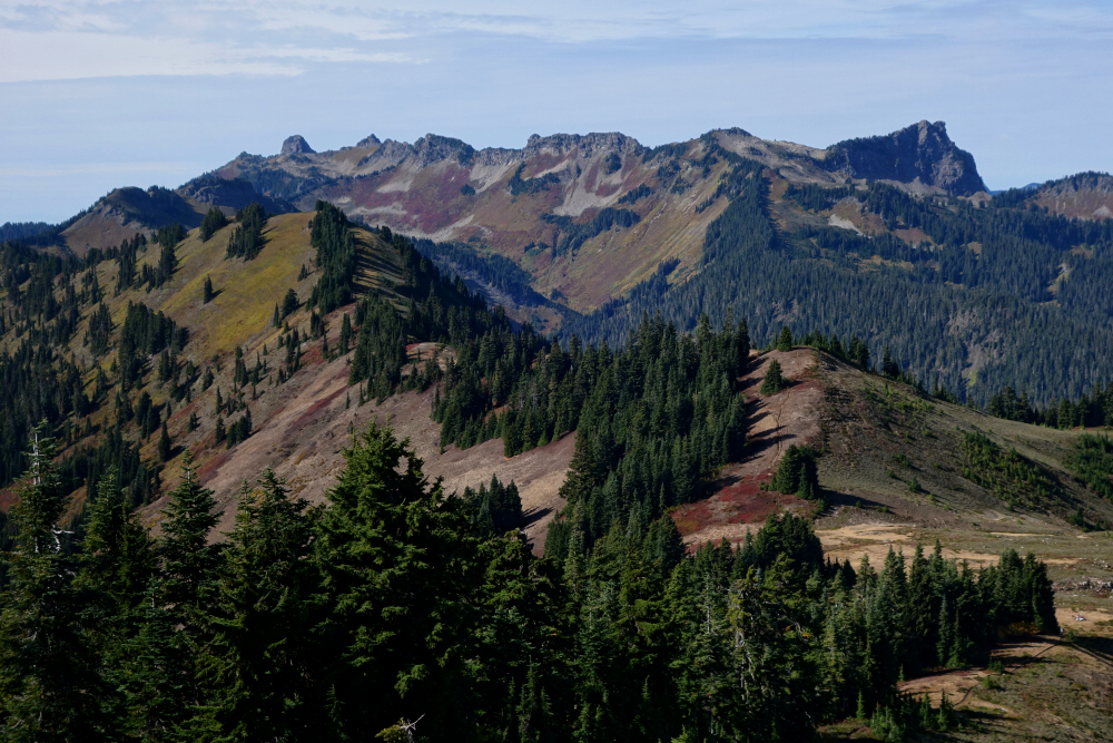
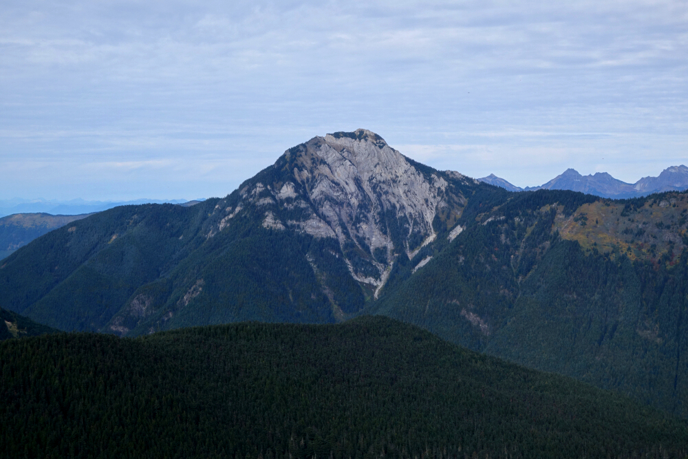
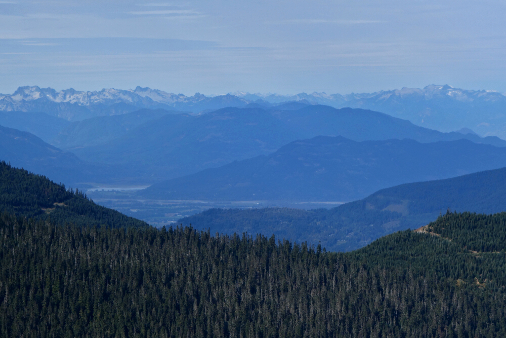
After soaking in the views, I descended via the east saddle for a small loop around the south side before returning to Excelsior Pass and Damfino Lakes. With time to burn, I turned my attention to Cowap Peak. Taking the right fork at both junctions, I quickly reached a saddle on Cowap's Northeast Ridge. From there, a short stroll led to the summit, with a slightly rocky crest at the very end providing a touch of interest on an otherwise straightforward hike. The views were largely similar to those from Excelsior, though with Mount McGuire looming impressively to the north and the Fraser Valley stretching beyond. About 3.5 hours into the day at this point, I settled in for a proper break, basking in the weak October sun as high cirrus and lenticular clouds drifted in from the west.
Eventually, with shadows beginning to lengthen and the air taking on that unmistakable autumn chill, I packed up and headed back down toward the lakes and the steadily thinning crowd. Excelsior may not boast the stature of its more famous neighbours, but as a relaxed ramble along a scenic ridge with easy access and big rewards, it more than earns its keep. Add in a splash of fall colour and a bonus summit on Cowap, and it made for a thoroughly satisfying early-October outing!
It would be very much appreciated if you please ask before copying and/or re-publishing content from any part of these pages. To do so, please click here to send a message via feedback form.


