Select from list below to jump to a specific area on this site.
| Latest Posts |
Sunday, July 26, 2026
Mount Ronayne - South Route via Tenas Creek FSR, June 2025
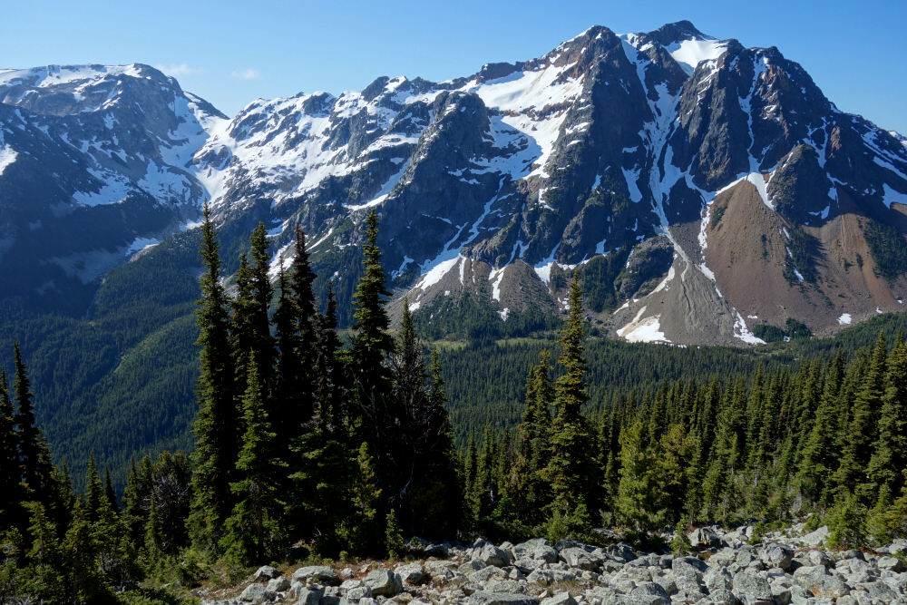
Directly south across the Tenas Creek Valley from the classic SSWBC guidebook peaks Sun God Mountain and Seven O'Clock Mountain stands Mount Ronayne. It's a relatively popular objective, either in winter on skis, usually descending a steep couloir on its North Face, or in spring and summer via the standard counterclockwise corkscrew route, which partially follows the Tenquille-Owl Traverse. Sandwiched between the mighty Lillooet River Valley to the west and the Birkenhead River Valley to the east, in the not-too-distant backcountry directly north of the village of Pemberton, this is a very scenic sliver of the Coast Mountains with generally good, albeit very overgrown, FSR access. It had been a minute since I was last up this way for the two aforementioned peaks, so with a fair-weather mid-June day to burn, I set my sights on Ronayne as my next instalment in the area.
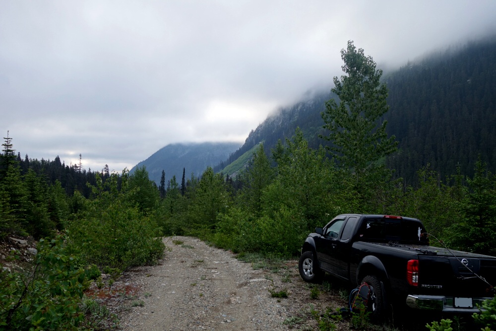
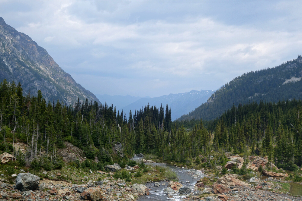
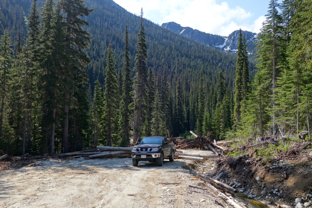
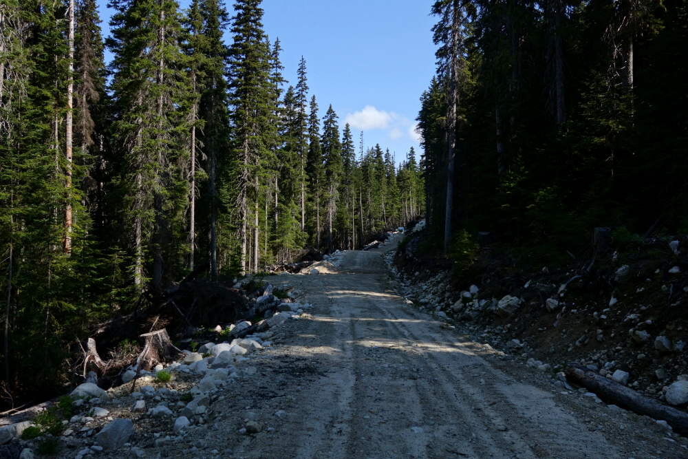
Motored up the Pemberton-Portage Road as I have countless times before, hanging a left onto the Birkenhead Lake FSR for some 9.6 kilometres before turning left again onto the Tenas Creek FSR shortly after the main road crosses a bridge over the Birkenhead River. As mentioned, this road has become quite overgrown since the last time I was up this way and added plenty of fresh pinstripes to my truck as I proceeded higher into the valley. I finally stopped and parked along the roadside after another 7 kilometres or so of continuous paint abuse, generally in the vicinity of the Sun God/Seven O'Clock trailhead. I was no more than a kilometre or so from the end of the road, where I'd be picking up the trail anyway, so figured I might as well start walking from there.
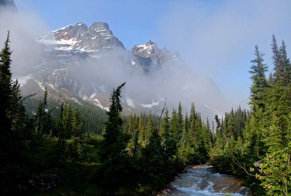
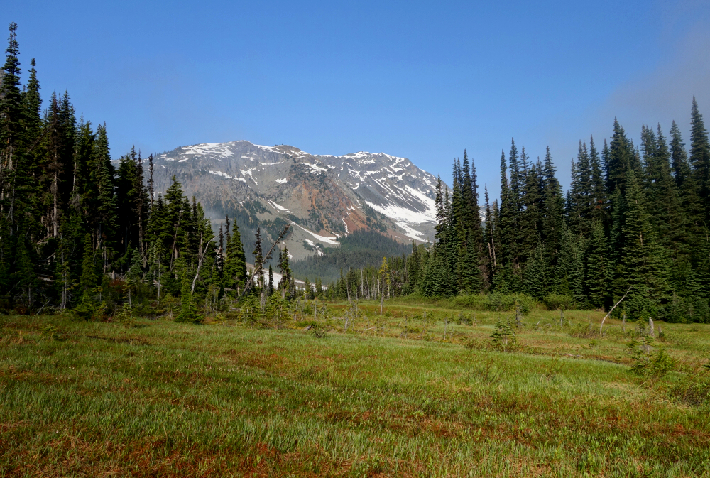
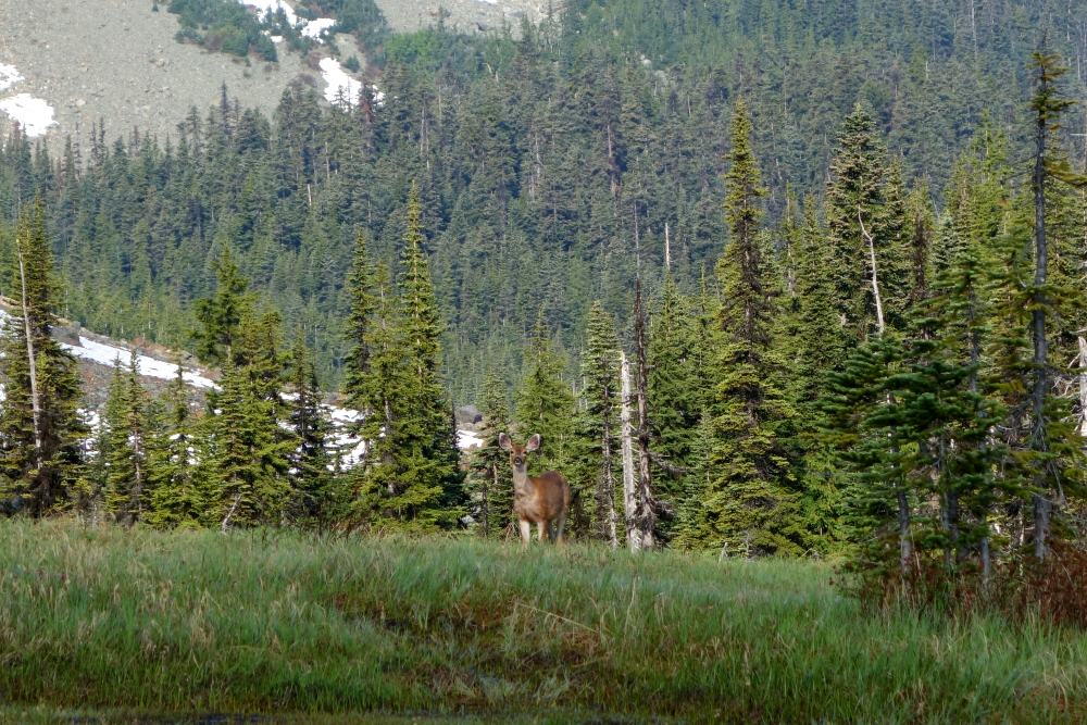
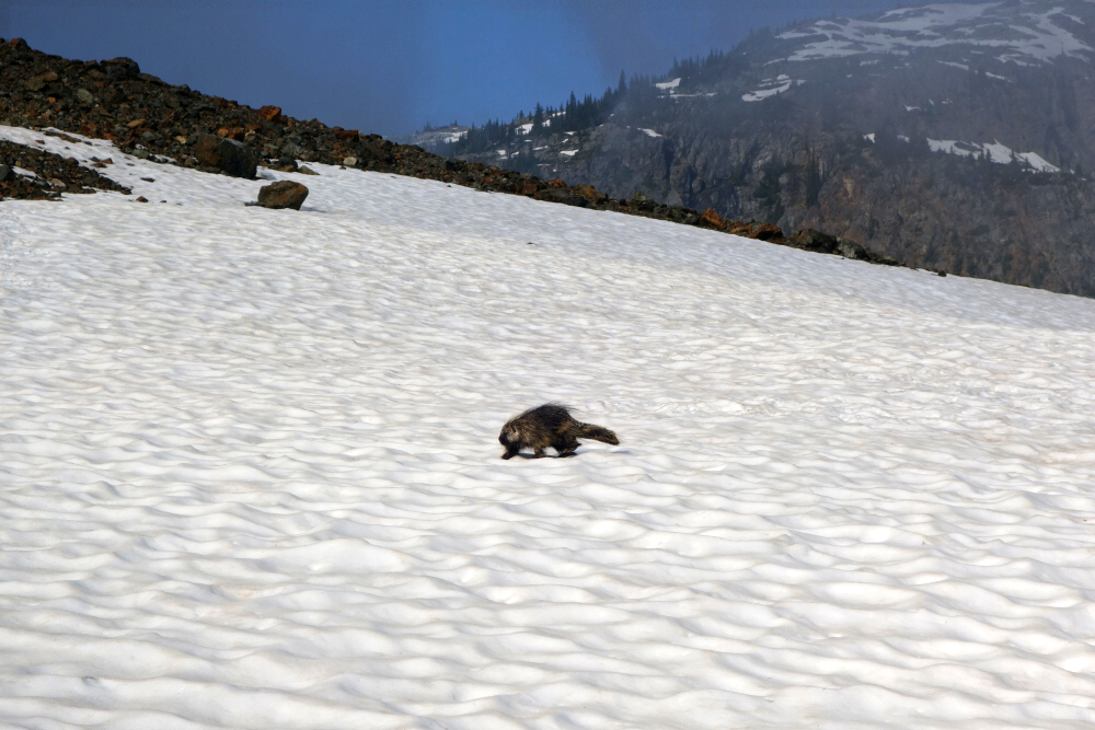
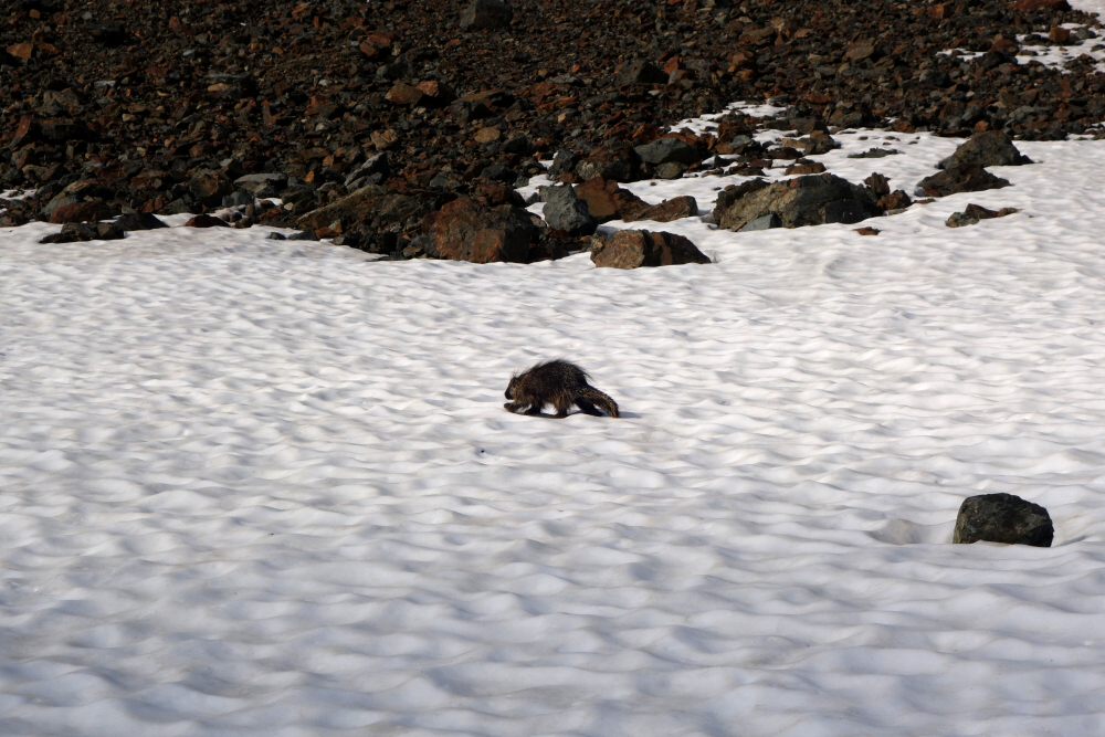
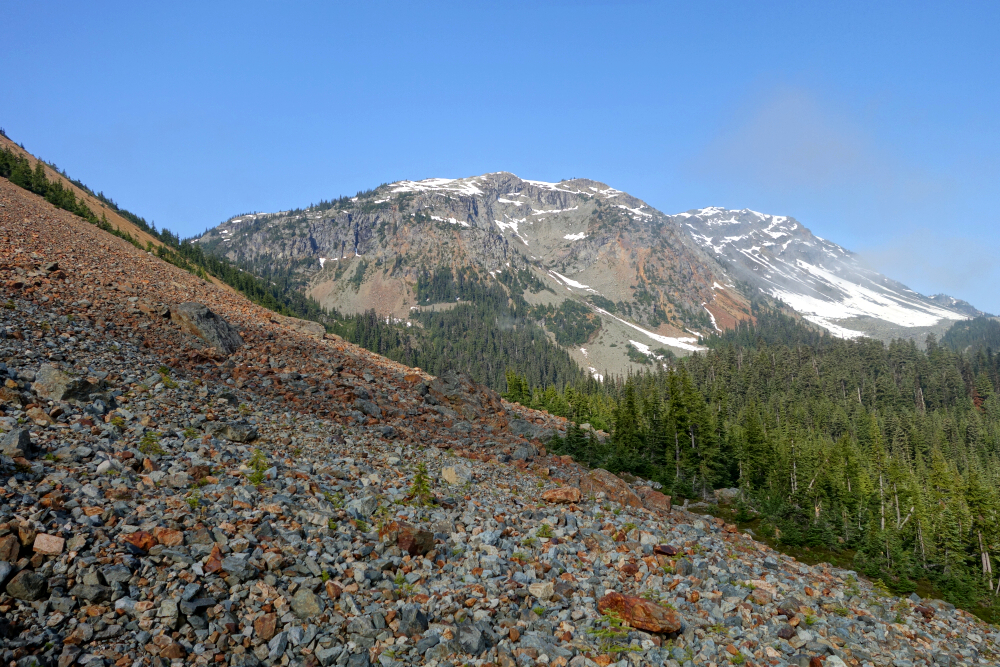
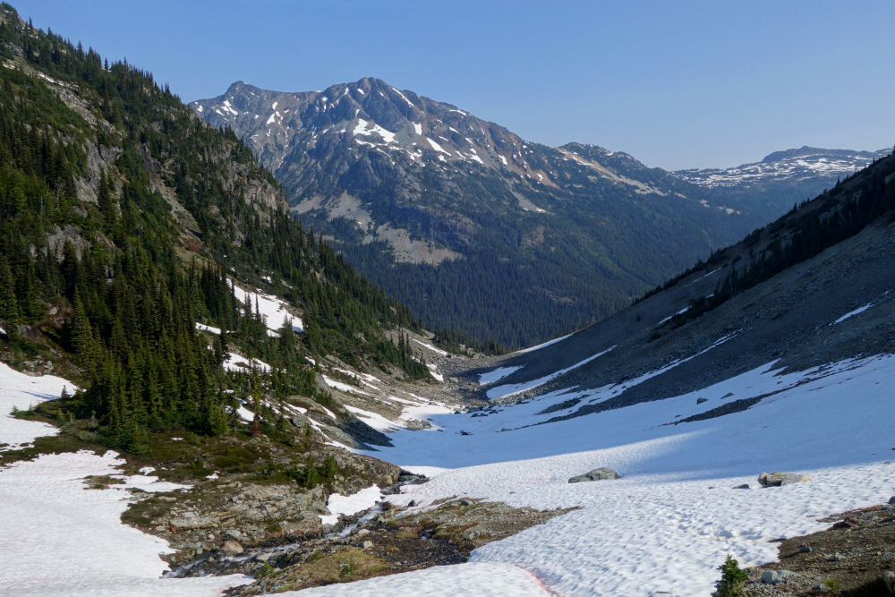
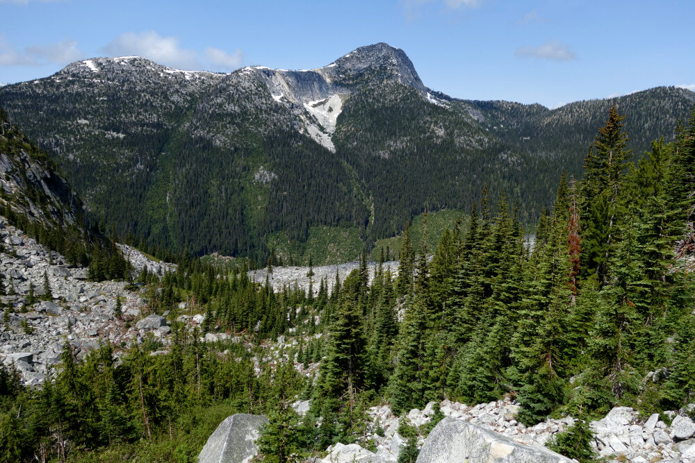
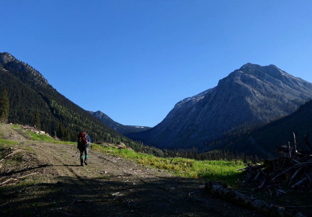
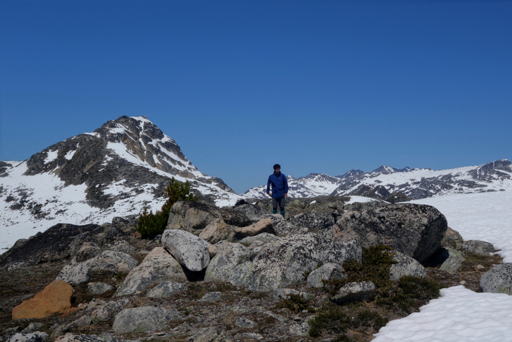
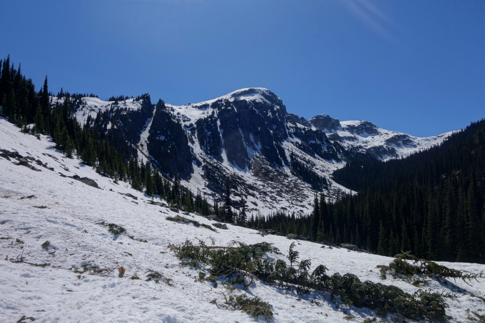
The trail was easy to locate beyond the end of the road, making an ascending traverse southward to soon intersect Tenas Creek. I hopped across the creek, after which the trail more or less disappears, although the route ahead remains obvious. Across meadows below Ronayne's looming North Face, I continued toward a large snow and talus slope flanking the peak's northwest corner, encountering some rather fearless wildlife along the way—including a first for me: a large porcupine traipsing across a snowfield directly in front of me, all "honey badger doesn't give a shit" like!
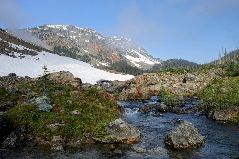
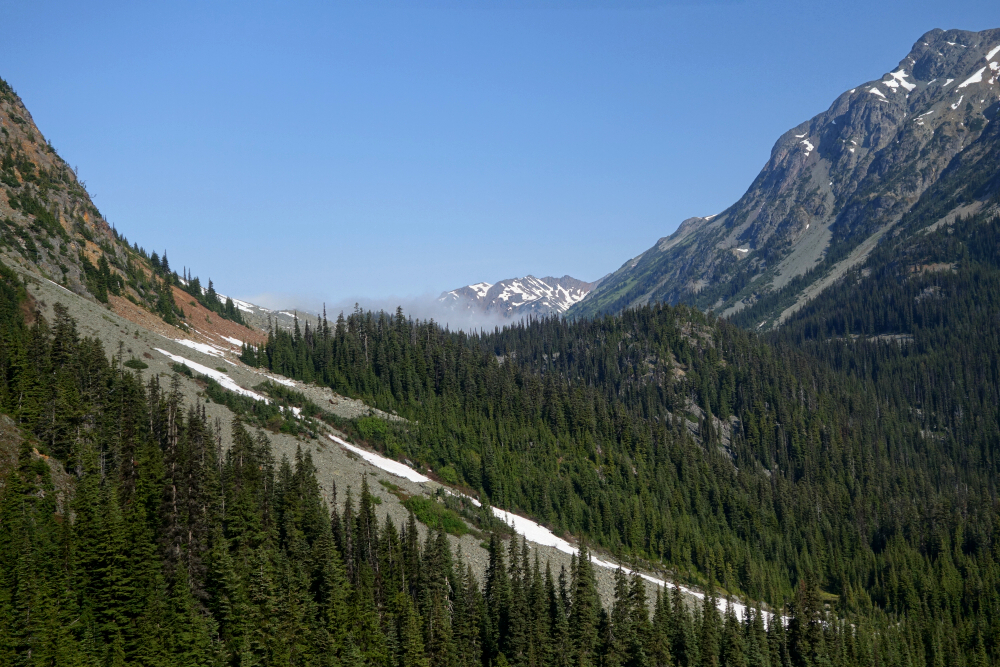
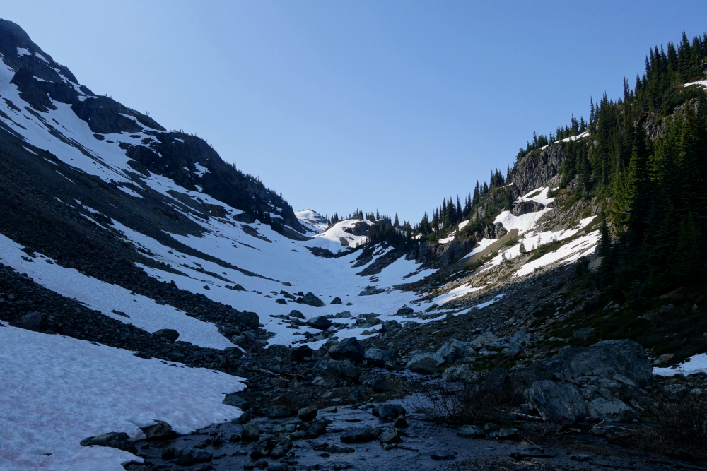
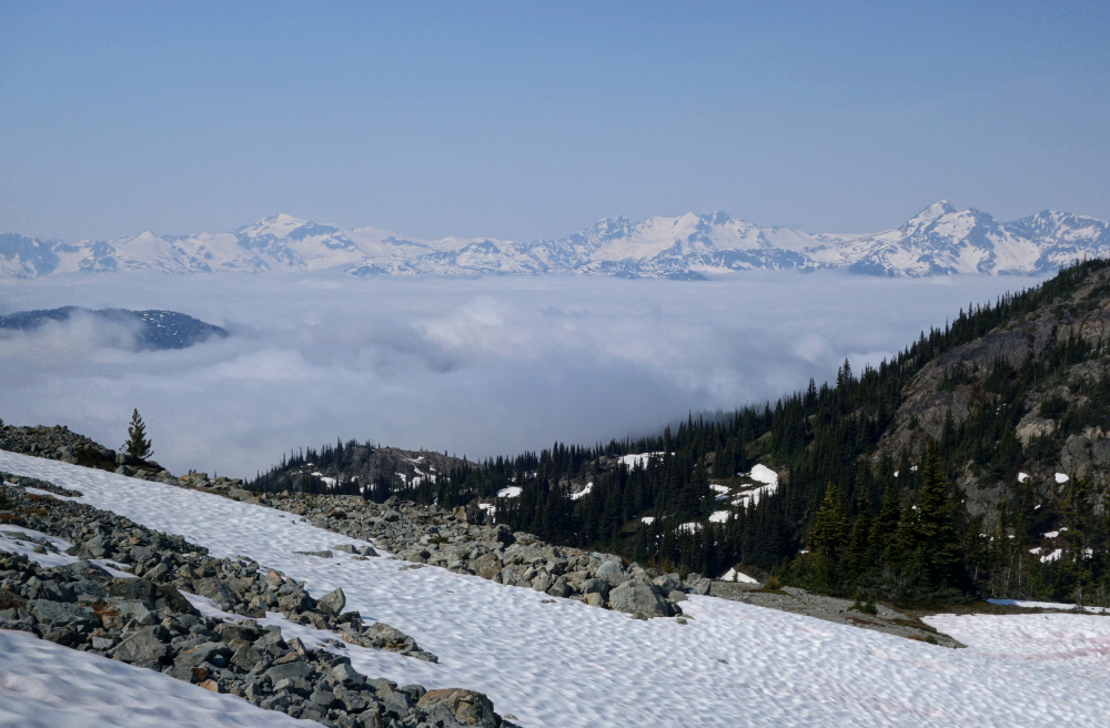
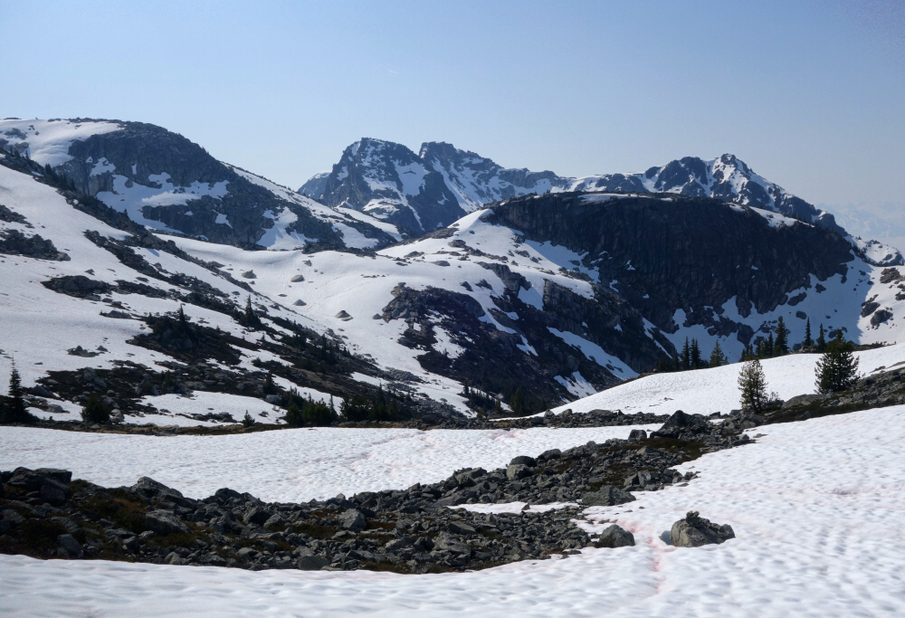
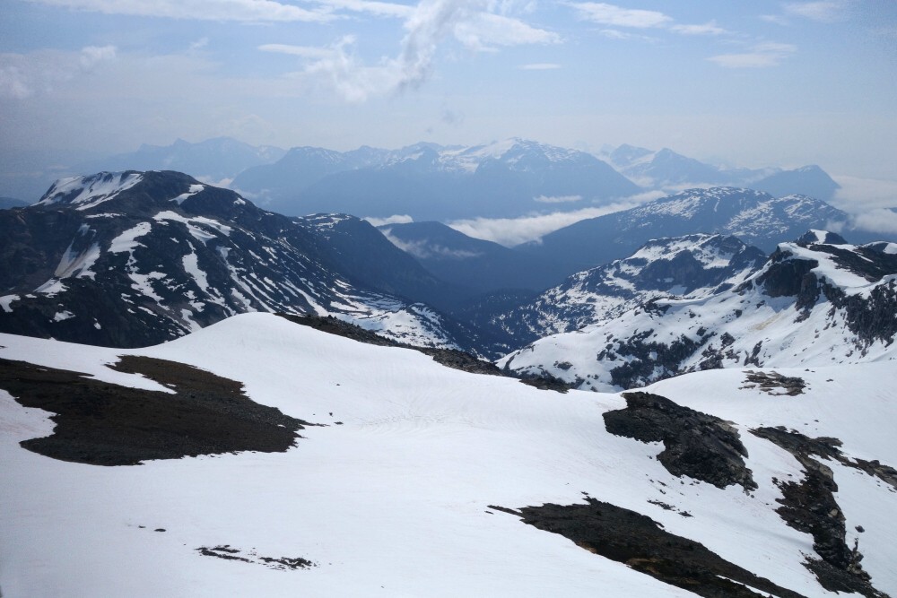
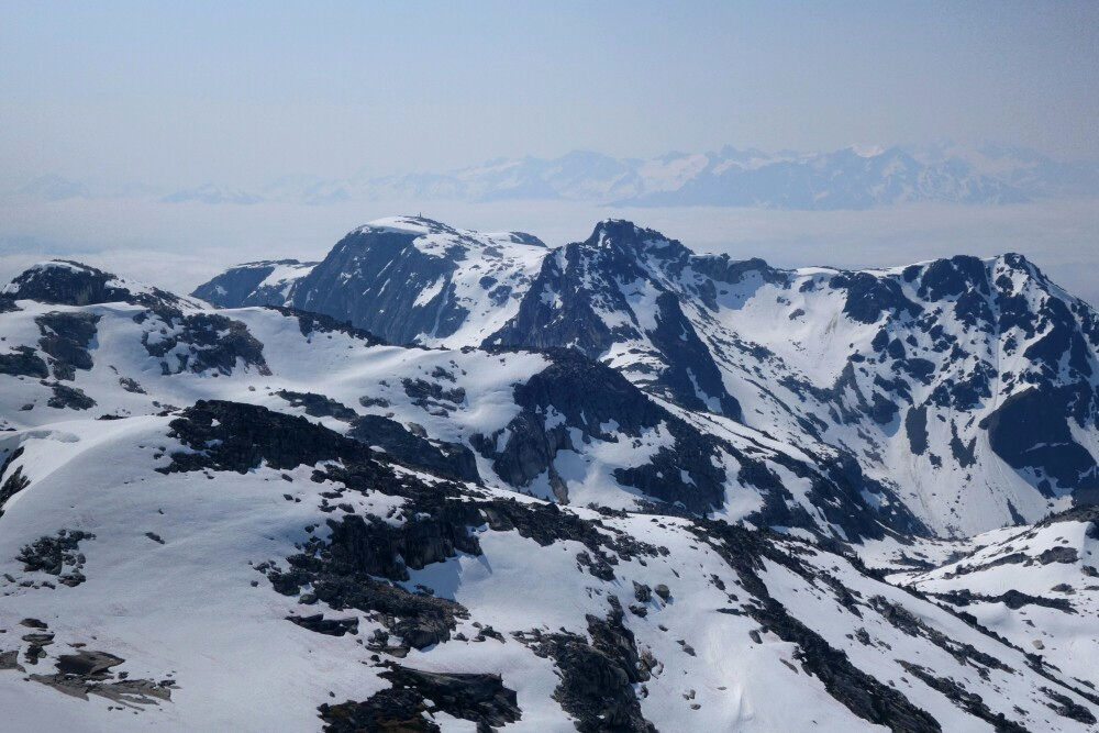
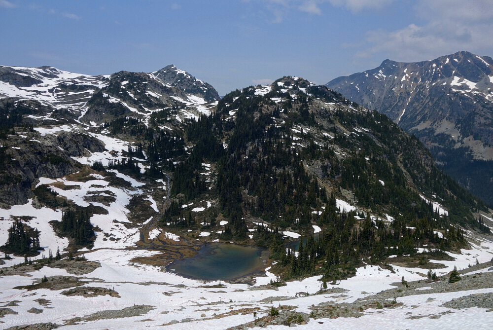
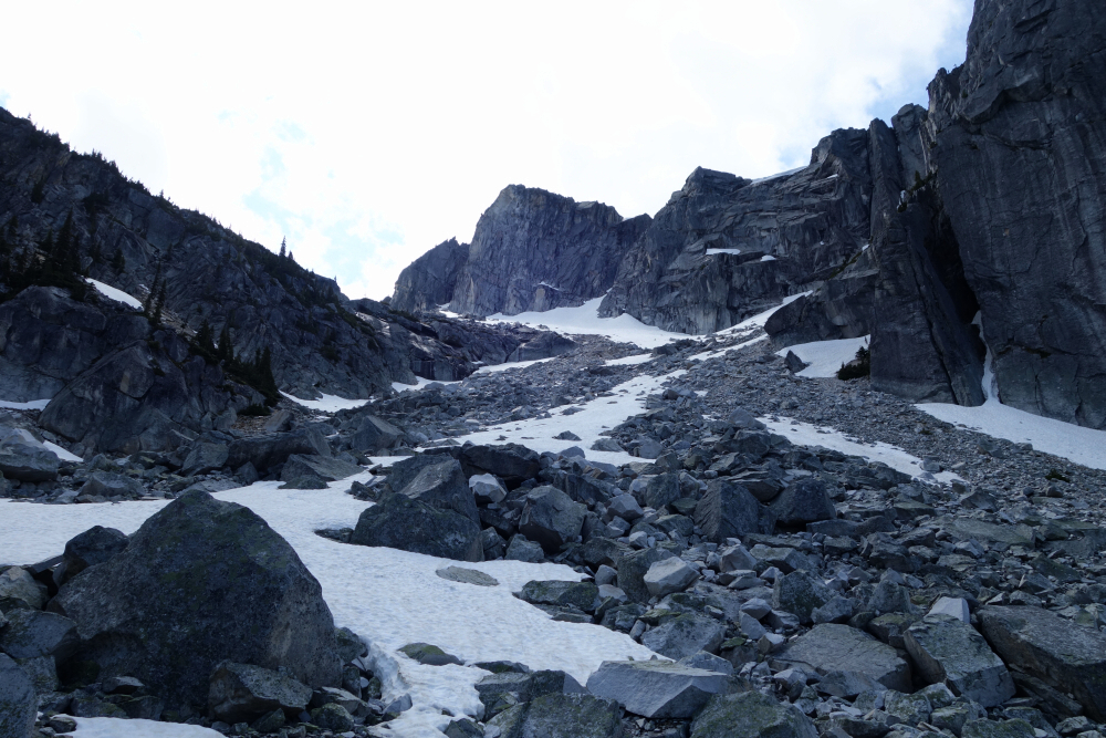
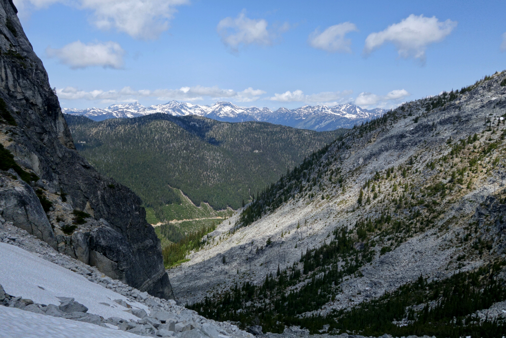
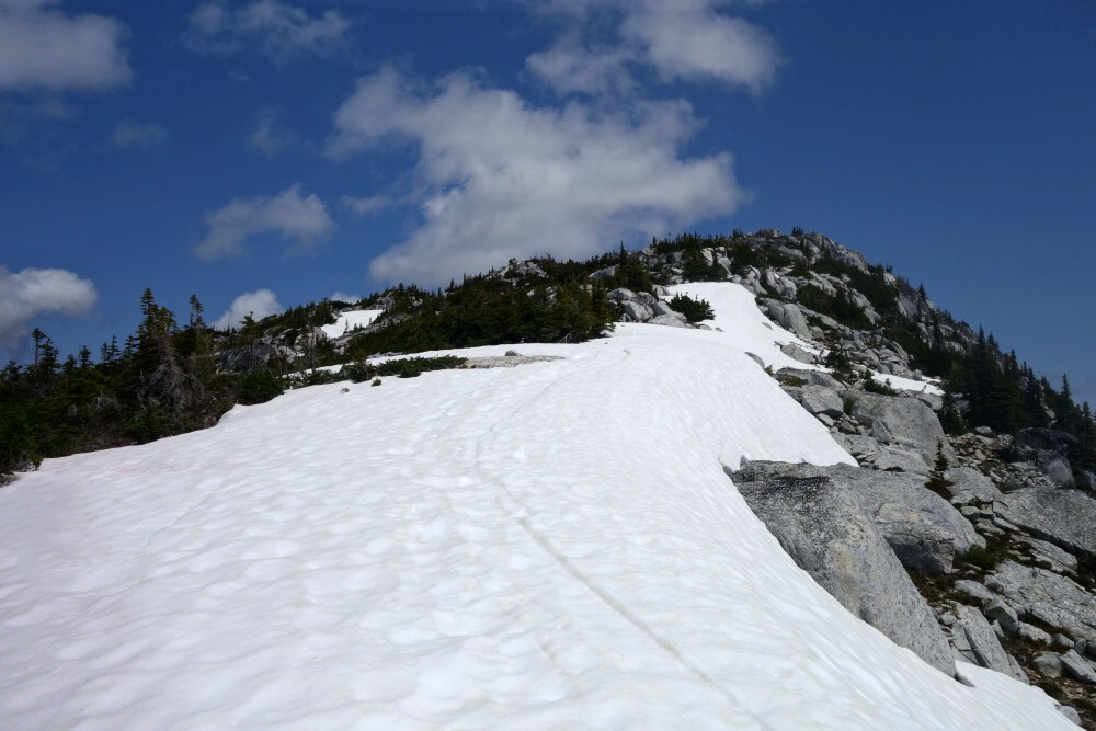
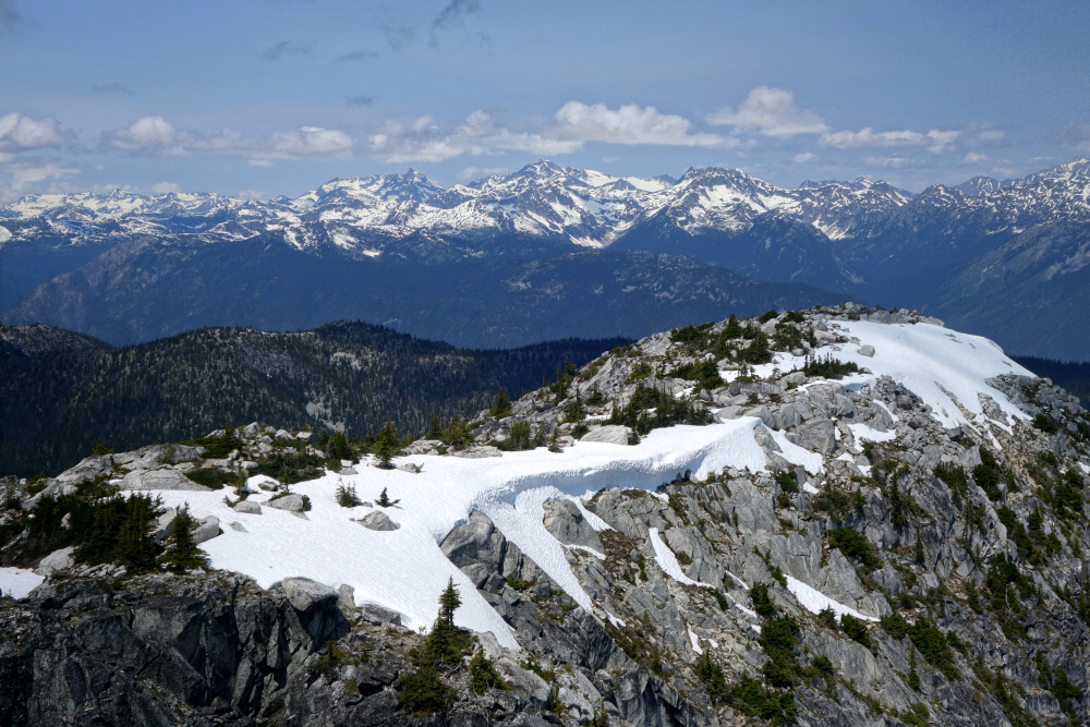
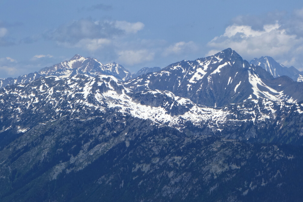
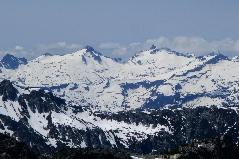
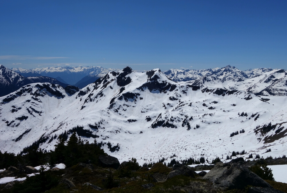
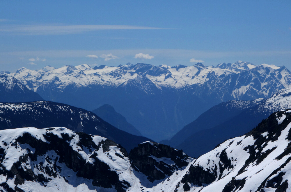
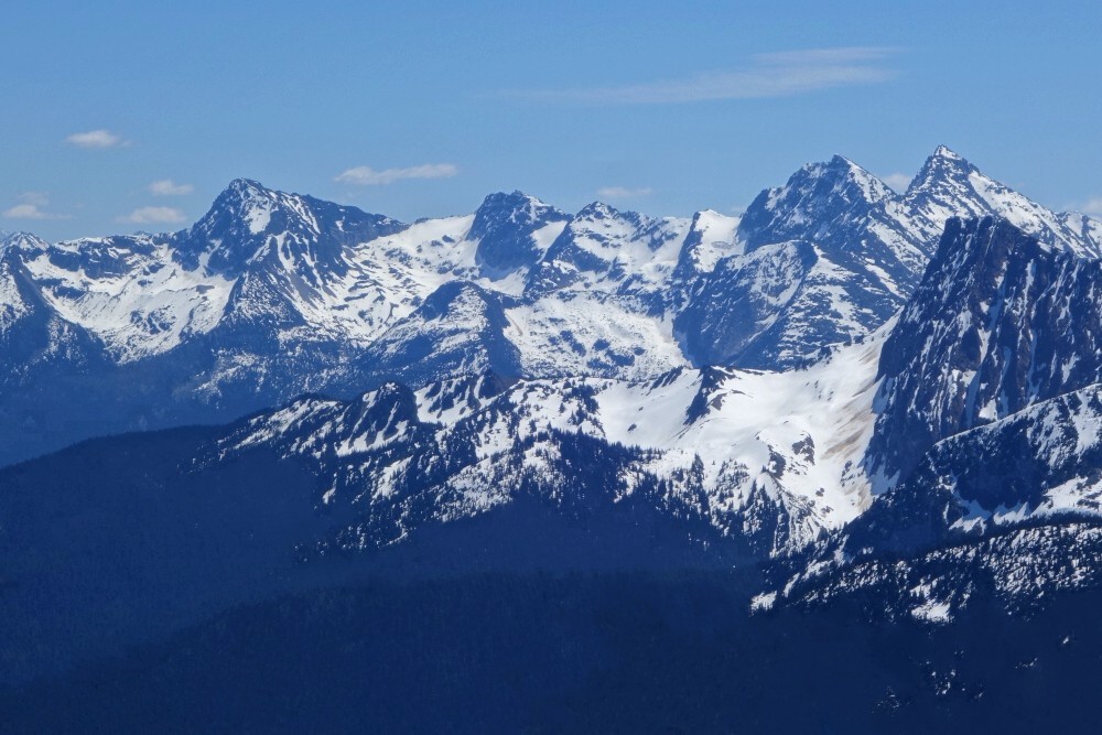
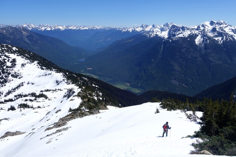
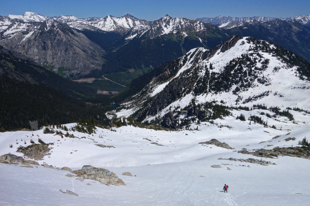
Around said corner and then up into the small valley directly west of the peak, I was now officially following the Tenquille-Owl Traverse route. There's probably a trail through here once the snow is gone, but the gist is simply to continue straight south up the valley before veering left near its head to gain Ronayne's broad South Shoulder. The views really opened up here, particularly to the south and southwest toward the Fowl Peak area and the high peaks flanking the west side of the Lillooet River Valley, despite some low-lying cloud and smokiness aloft. I took a minute to soak it all in before turning my attention back to the task at hand.
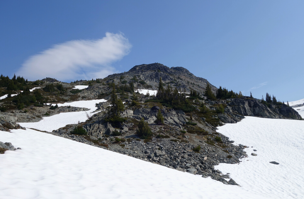
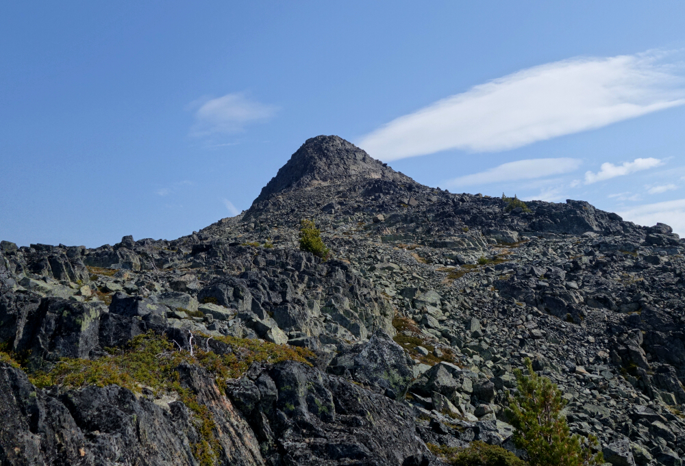
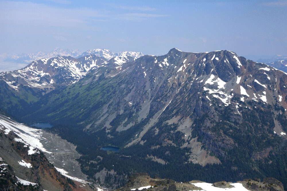
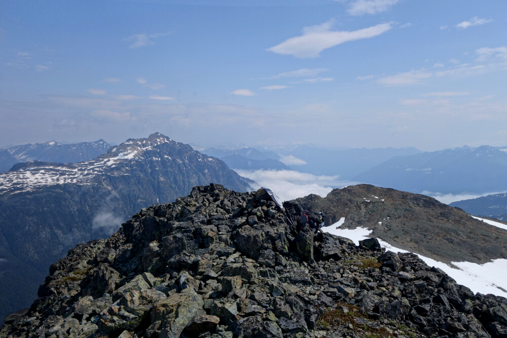
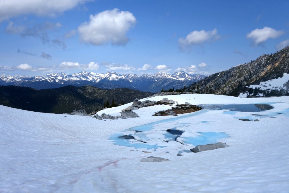
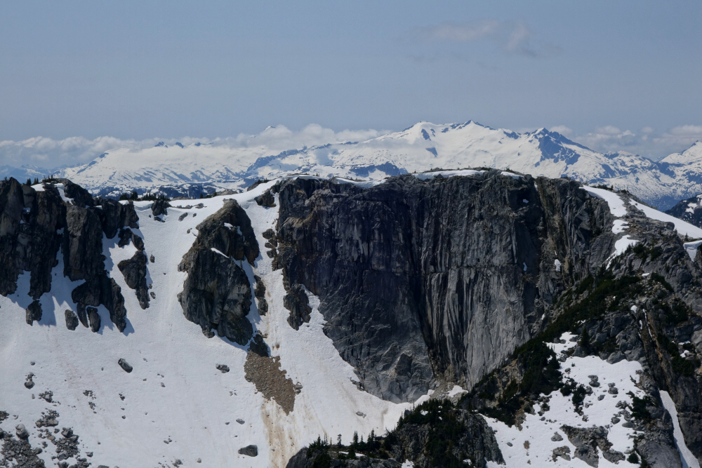
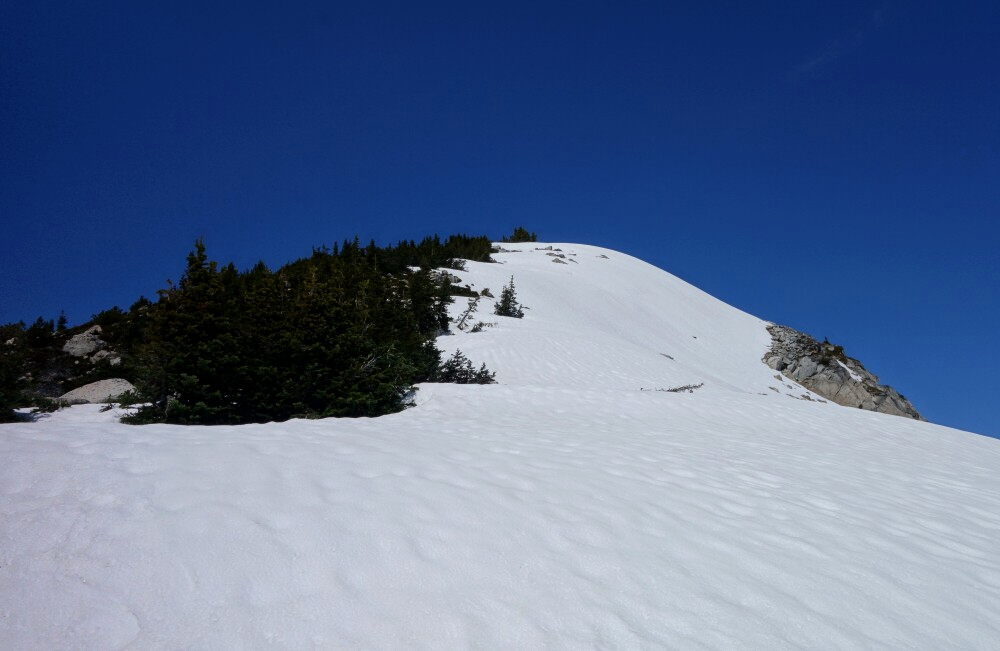
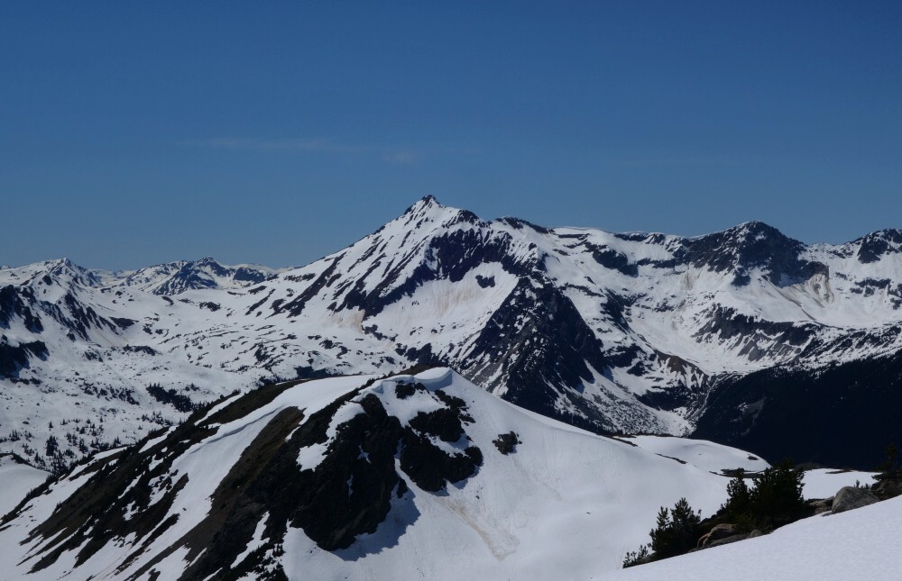
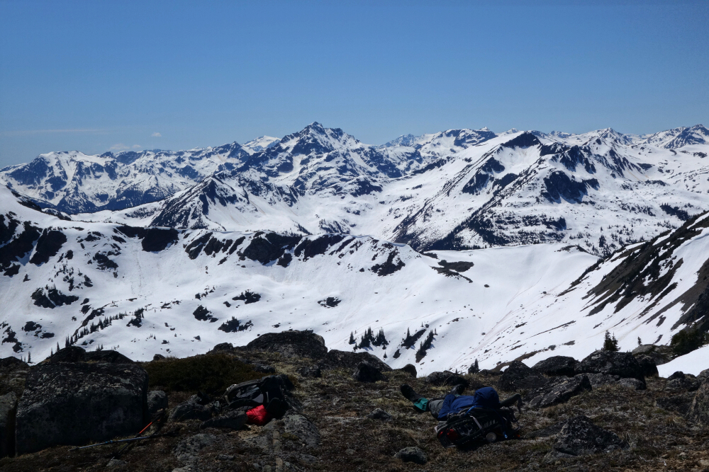
Continuing directly north, the remaining route up Ronayne looked pretty trivial: an easy boot up the snow followed by a final scamper over the rocky summit block to the top. About 3.5 hours up, I finally stopped for a nice long break and a rest in the warm sun. Good views to the south and southwest as mentioned, along with Sun God and company directly across the valley to the north. More distant views were obscured by wildfire haze, which, this only being June, seemed a bit early in the season. Whatever—take what I can get, I suppose.
With time getting on, I reluctantly shouldered my pack and got down to the business of heading back. I descended off the east end of the summit, aiming for the large snowfield in the bowl south of the peak to expedite matters, then more or less retraced my route back to the end of the FSR without issue—or any further wildlife encounters, for that matter.
As I hiked down the road, dark clouds and thunder could be seen and heard advancing up the valley toward me, so I made haste for the truck. I kicked off my boots, slipped into the flip-flops, and turned the ignition just as the first drops of rain began to fall. Within minutes, it turned into a deluge. I felt for the others still out adventuring in the area, presumably somewhere around Sun God and whatnot, because it was one hell of a soaking thunderstorm that rolled through that afternoon.
Mount Ichor - West Route via Kookipi West 400, June 2025
With news that the washouts on the Nahatlach FSR and Kookipi Creek FSR had recently been repaired, there was no time like the present to make a dash for a peak or two in the slice of Coast Mountains lying just north of Boston Bar and immediately west of the Fraser Canyon. Up until this trip, the area had been a bit of a peakbagging void for me, with only American Mountain, Old Settler, and Urquhart far to the south, and Askom Mountain and Mount Brew well to the north, checked off the list. That leaves a rather significant stretch of peaks in between, culminating with southwestern BC's tallest—and arguably biggest pain in the ass to attain—Skihist Mountain. Whether I like to admit it or not, I'm slowly closing in on this beast, tales of horrendous bushwhacking, packs of wolves, and notoriously shitty rock be damned. But that's an adventure for another time... if ever.
For now, I figured it prudent to at least explore something off the next major FSR immediately south of the one used to access the aforementioned giant. By far the most popular objectives in the area are The Nipple, often combined with nearby Mount Laughlan for a neat little two-fer featuring enjoyable scrambling guarded by reportedly rather unpleasant bushwhacking. Those peaks also sit right above the west bank of the canyon, with views eastward over fairly unremarkable hills. Instead, I opted to venture a little deeper into the valley in hopes of finding less brush and more interesting scenery. Enter Mount Ichor—an otherwise obscure peak perhaps best known for the 5.10b climbing route Back of Beyond Buttress. Inspired by a recent trip report describing a non-technical ascent, I settled on Ichor as my objective for the day.
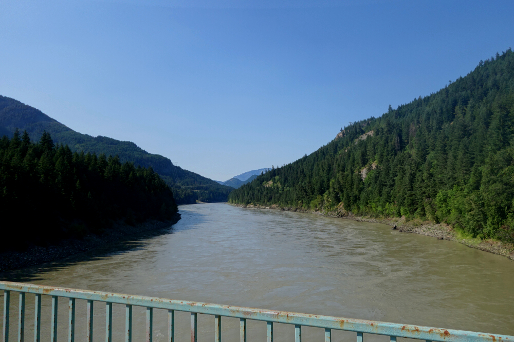
Back to Hope, then north along the Fraser I went, crossing the river at Boston Bar via a bridge I previously hadn't even known existed. From there I followed the west side of the canyon for a while before finally turning west onto the Nahatlach FSR. The valley here is broad and wild, with numerous recreation sites lining the well-maintained road as it winds deeper inland. Twenty-five kilometres after crossing the Fraser, I turned left across a bridge spanning the Nahatlach River and continued south on the Kookipi Creek FSR.
After so many kilometres—and especially after leaving the main road behind—I began to appreciate just how remote this area really is. I found that mostly exciting, though admittedly a little unnerving as well. Certainly not the sort of place where you'd want mechanical trouble. After another 9 kilometres or so, I turned right off the Kookipi Creek FSR, crossed another bridge, and continued up a tributary valley immediately to the west. I followed this road for another 9 kilometres to near its end, where a spur descends to a landing just before the deactivated bridge crossing the main creek. I parked there, shouldered my pack, and set off.
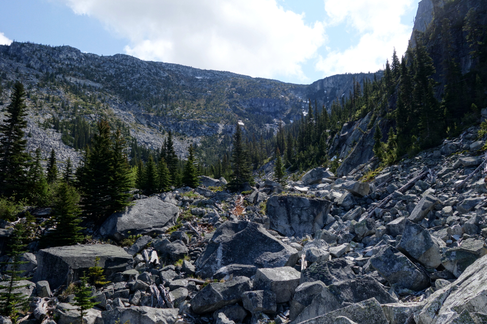
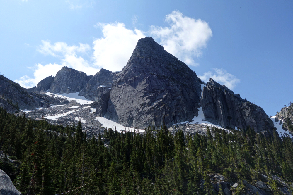
Crossing the creek, I followed a surprisingly good forest road north along its west bank for roughly 1.5 kilometres to where a stream draining Ichor's west basin crosses the road. If memory serves, the road more or less ends here anyway. From there I climbed steeply through the forest, keeping the stream within earshot on my left, before emerging into the broad talus basin immediately west of the mountain. I hopped boulders upward, passing beneath the now unmistakable Back of Beyond Buttress, building the occasional cairn along the way—being far too stubborn to record a GPX track, as usual.
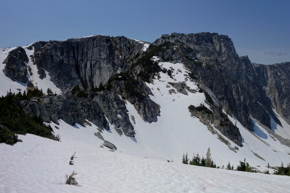
Now turning right, I entered a higher talus basin enclosed by towering granite walls, using lingering snow patches where possible for easier travel toward the headwall above. A left turn brought me onto continuous snow leading into a small bowl, with a saddle on Ichor's southwest ridge just beyond. Upon reaching the saddle, I turned left for an easy stroll along the gentle ridge to the summit, where I finally stopped to savour the reward for all the day's adventuring. It had taken me just under three hours to get there, proving that, at least for Mount Ichor, the crux is the drive rather than the hike.
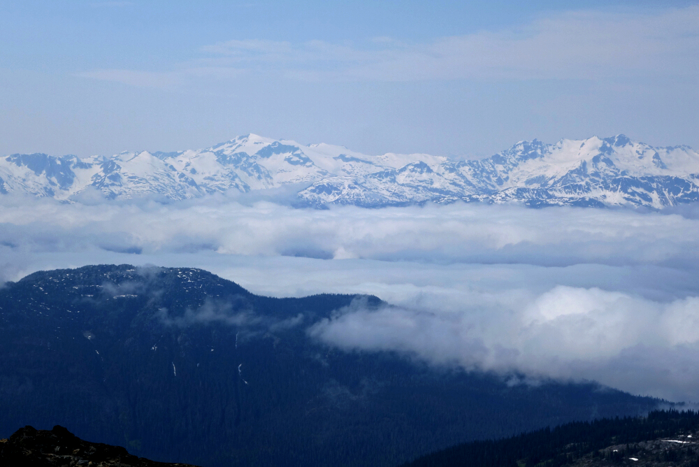
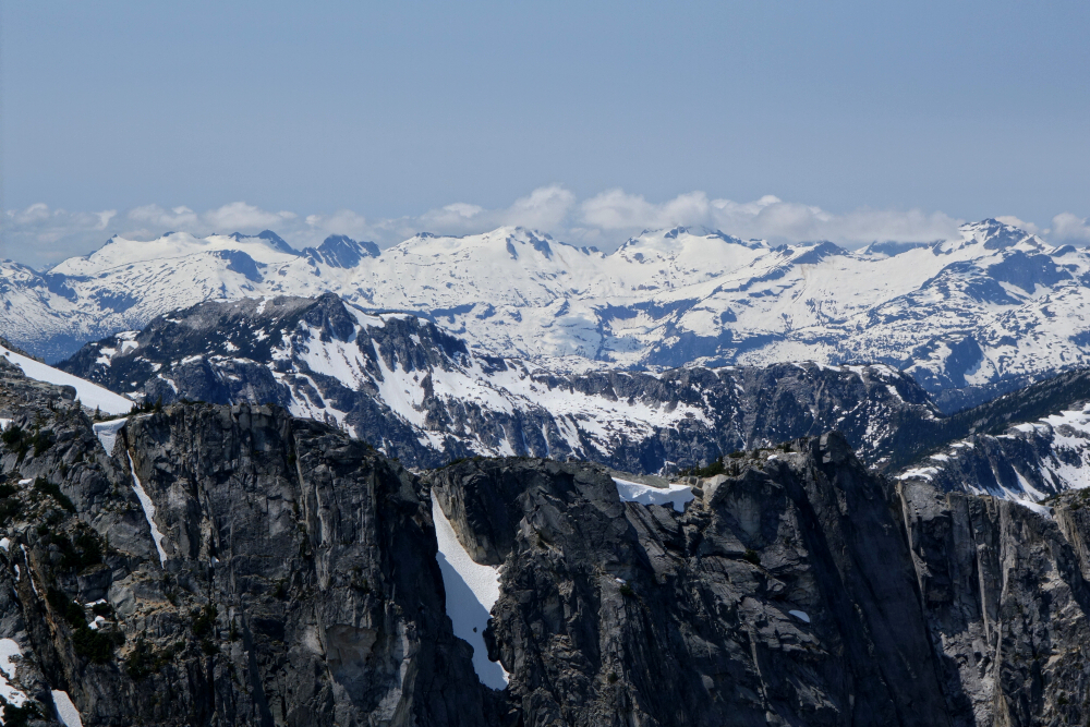
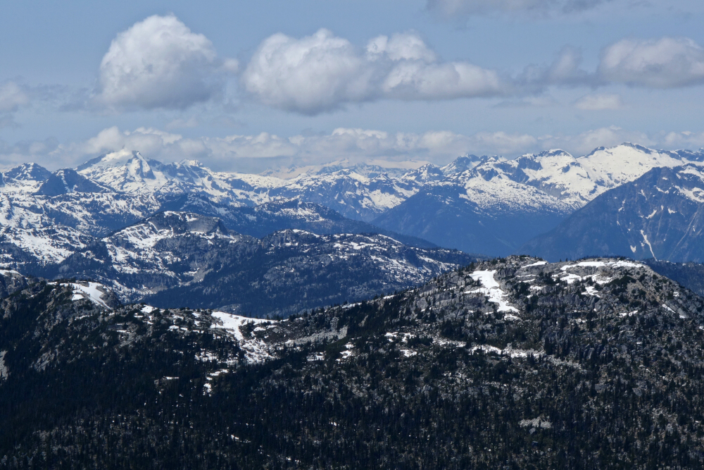
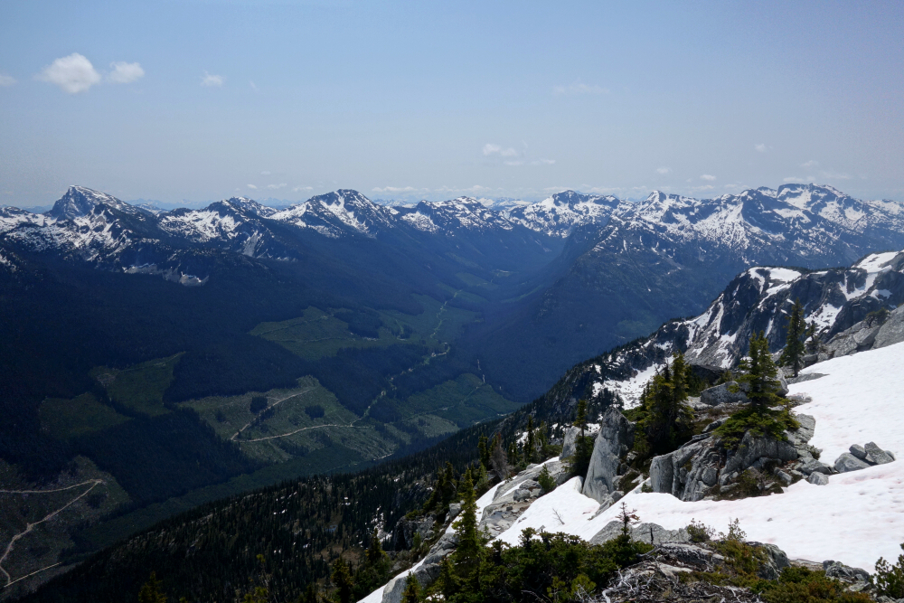
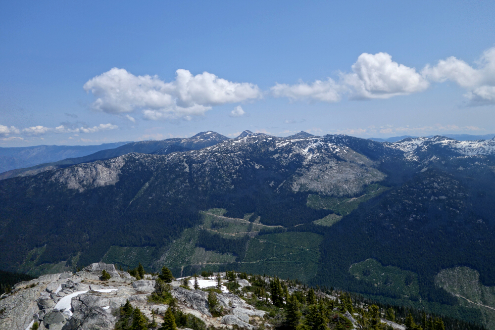
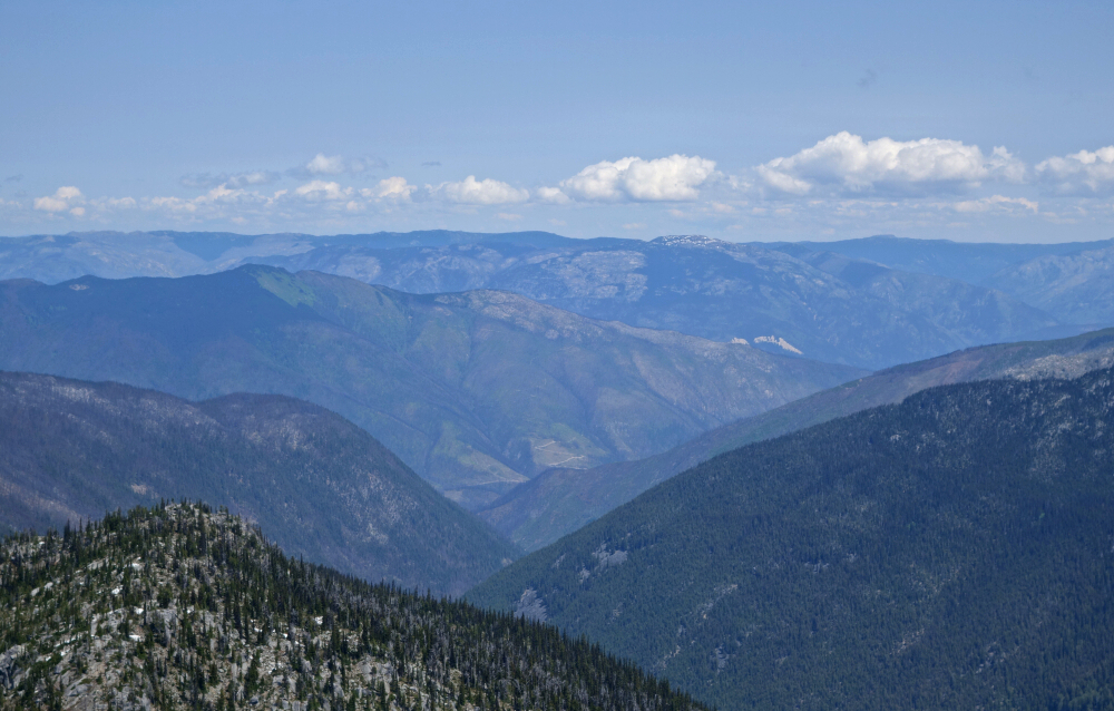
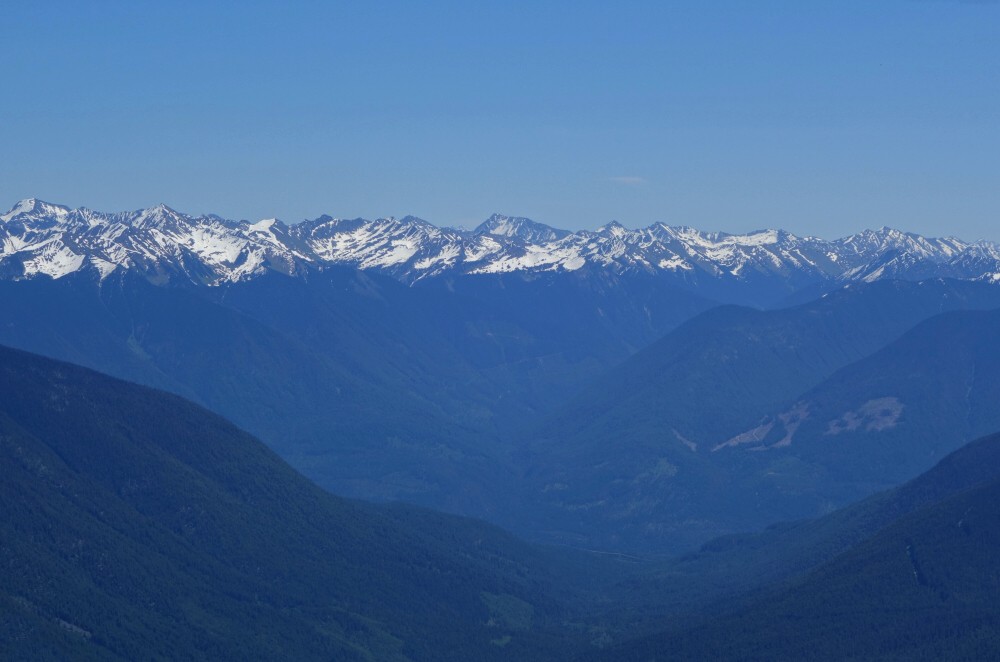
But no sverdina.com trip report is complete without a word about the views, and I can confidently say these did not suck. Highlights included the Cairn Needle-Traverse-Breakenridge group to the southwest; the remote peaks east of the In-SHUCK-ch FSR looking directly west; the crest of high summits surrounding the Rutledge, Kwoiek, and Chochiwa glaciers to the northwest; and a fine look toward the headwaters of the Kookipi Creek valley. The views east toward The Nipple were, as expected, kind of "meh," and with lingering cloud obscuring the skyline, I couldn't quite tell whether Skihist had decided to make an appearance.
After about twenty minutes on the summit, I started back down, arriving at the truck by 3:30 p.m. for what had turned out to be a pleasantly short day. From there it was back toward civilization... and straight into the inevitable late-afternoon Highway 1 parking lot. All in all, a pleasantly short day in a surprisingly remote corner of the Coast Mountains—and one more piece of the Skihist puzzle now in place.
Tolkien (Pk. 2199) - via Phelix Creek West FSR, June 2025
Officially, this was an attempt on Mount John Decker, but horrible bushwhacking combined with exhausting postholing through deep, unconsolidated snow ultimately conspired against us. One look at the roughly 500 feet we'd have to lose—and then regain—just to reach the base of John Decker's northeast ridge was enough for me to call it. Instead, we settled for the unremarkable and unnamed "Peak 2199," a subsummit of Tolkien Peak about 1.6 kilometres to the northwest. Interestingly, our consolation prize is actually taller than John Decker and arguably offers better views, so despite its distinctive name, I'd suggest giving JD a miss. If anything, Tolkien Peak is the real prize out here, so if you're making the effort, that's the one to bag.
But I'm getting ahead of myself.
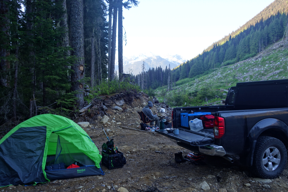
Rewind to the evening before, when Wes and I drove up Phelix Creek Road and car camped at the roadside to capitalize on an early start, hoping to beat the heat and take advantage of firmer morning snow. With all the recent logging activity in the valley, very little looked familiar compared to when I was last up this way climbing Mount Gandalf and Mount Aragorn. Fortunately, we correctly identified the Phelix Creek West spur we'd be using the following morning, so things were looking promising as we settled into our sleeping bags—or so we thought.
The next morning we coasted a short distance back down to the spur, where progress immediately ended at a large water bar. No matter—we hadn't expected to drive very far anyway. We walked past a switchback, along a straight stretch of road, and soon reached a washout that permanently ended vehicle access. Then things became... interesting. And by "interesting," I mean very bushy.
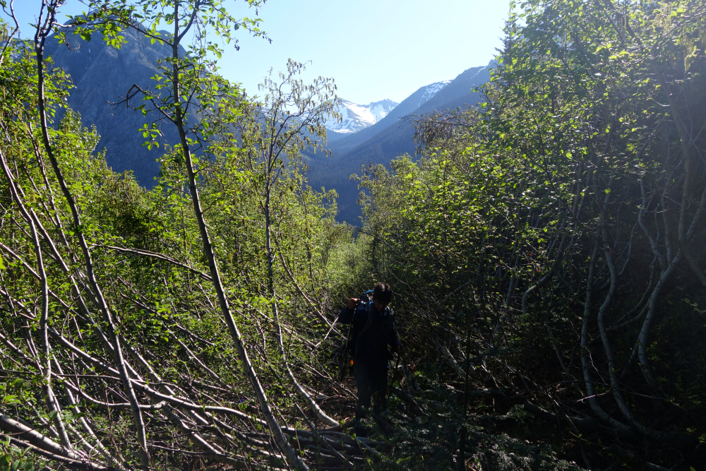
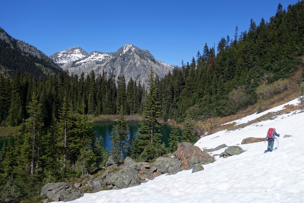
Although we remained on the old roadbed, it became increasingly choked with alder the farther we progressed. Hidden beneath the fresh growth were countless old stumps and cut branches, making every step a game of tripping hazards. After about an hour of this punishment, we finally reached the road's end, where the alder mercifully gave way to a steep uphill traverse across an area of regenerating forest before finally reaching mature timber. A relatively short thrash through the woods delivered us to the shore of a picturesque little lake, complete with a neat-looking peak rising from its opposite shore—Peak 2199. With continuous snow beginning at the lake, we strapped on snowshoes and headed along the south shore into the valley beyond.
Well... almost.
Somewhere back in the alder, Wes had managed to lose one of his "suffer slippers," and there was exactly zero chance either of us was volunteering to go back and look for it. Needless to say, morale wasn't exactly soaring by this point. To make matters worse, the overnight freeze we'd been counting on never materialized. Instead, we slogged through bottomless slop, repeatedly punching through into hidden voids beneath the snow. Eventually we turned up the major drainage separating Peak 2067 from Peak 2199, wallowing and cursing our way to a broad saddle. From there, the standard route to John Decker requires dropping into the adjacent drainage before climbing back out. Given the conditions, that simply wasn't happening.
Looking up from the saddle, I figured we might as well salvage something from the day and started plodding up the broad ridge to Peak 2199. Tolkien S1, a slightly higher and somewhat more official summit, lay just beyond the next saddle, but by then I'd thoroughly had enough of the dreadful snow conditions and called it good. Had I truly cared, I suppose I could have pushed all the way to Tolkien Peak itself, seemingly just a stone's throw farther on. But appearances can be deceiving, and I could only imagine how miserable the travel would be. The last thing either of us needed was a hyperextended knee—or worse.
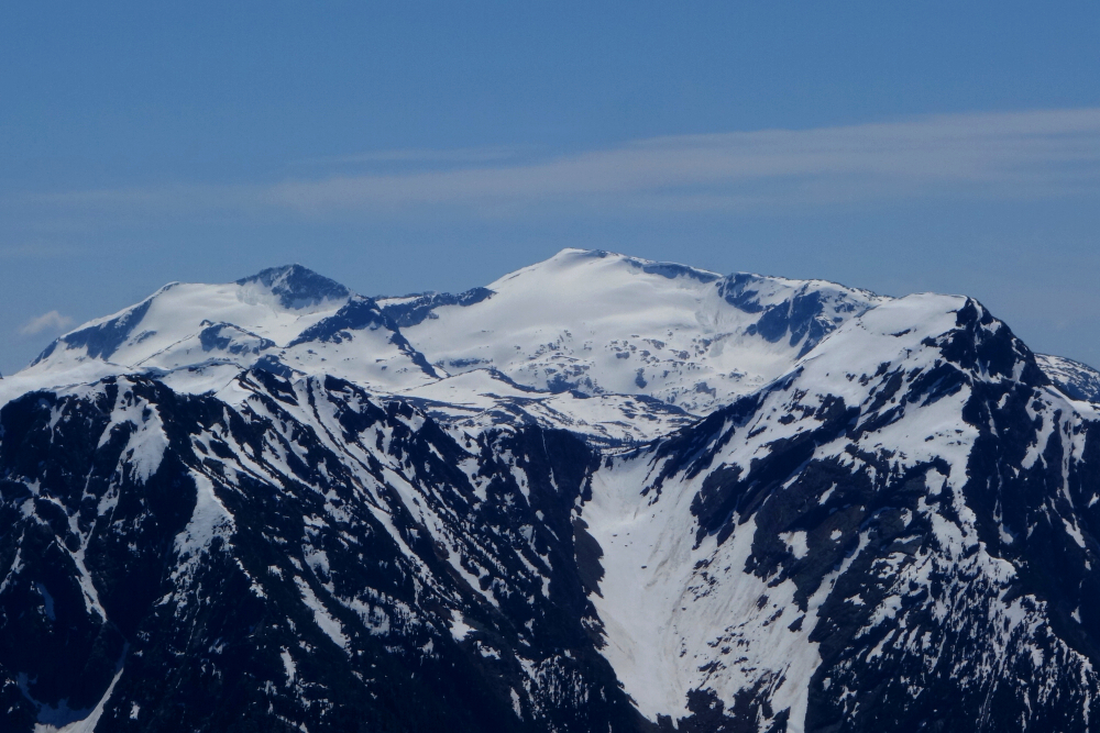
Despite everything, the summit views were surprisingly good. John Decker stood immediately to the south, taunting us from across the intervening basin. Farther south, the Birkenhead group dominated the skyline, while Mount Oleg—where we'd stood only weeks earlier—rose beyond as the centrepiece of the Place Glacier area. Beyond that stretched the impressive wall of peaks overlooking the Pemberton Valley between Pemberton and Lillooet Lake. There were also excellent views southwest toward Sun God Mountain and its neighbouring summits.
Satisfied with the scenery, we settled in for a long summit break, even managing a nap while quietly dreading the return through all that miserable snow. But return we must. The descent proved every bit as tedious as expected, with frequent hip-deep postholes reminding us not to let our guard down. Eventually the snow ended, only for the bushwhack to begin anew. Back on the overgrown road, Wes' missing snowshoe was nowhere to be found—or perhaps we'd simply forgotten to look for it. Either way, it was gone.
Roughly ten hours after leaving the truck, we staggered back to it absolutely convinced of one thing: We would never, ever come back this way.
It would be very much appreciated if you please ask before copying and/or re-publishing content from any part of these pages. To do so, please click here to send a message via feedback form.