Select from list below to jump to a specific area on this site.
| Latest Posts |
Wednesday, August 12, 2026
Bird Peak - via Fowl Lakes, July 2025
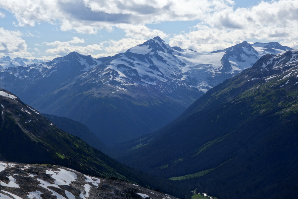
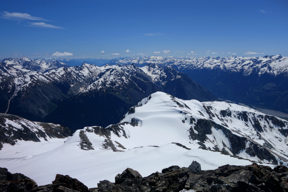
Not much out there that I can find describing this one, although I'm sure it gets done. "Bird" is a provisional name, according to Peakbagger, for the summit just north of the pass upstream of Fowl Lake along the Owl-Tenquille Traverse route. There's an obvious avian theme to the names around here, although this one could have used a little more imagination IMO—"Bald Eagle Peak" comes to mind. Fittingly, I even spotted one flying over one of the lakes on my way out.
Anywho, this one came to me while lying in bed one morning with no agenda other than feeling compelled to get outside and do something on an otherwise perfectly good July weekend. My curiosity had been piqued after looking across at Fowl Peak from Ronayne earlier in June, so with good trail access and having never been into this particular corner of the range before, I figured I might as well go see something new.
Rolled outta bed well rested at 8:30, hit the road around 9ish, and made it to the Chain Lakes trailhead at a very agreeable crack of 12:30 (4x4 required). Heck, it stays light until nearly 10 p.m. that time of year, so I still had plenty of daylight to work with for a solid day hike. The trail was in excellent shape and had seen recent maintenance, with all the fallen logs cut and moved out of the way. Up into the lakes basin, where the views from Fowl Lake and onward are simply stunning. Big-ass lake—probably big enough for a Twin Otter to take off from!
Continued upward on a somewhat less-defined trail to the upper lake, then contoured around its north side, which was somewhat annoying, to reach the talus basin below the pass. Up along the watercourse in the centre and soon enough I reached the pass.
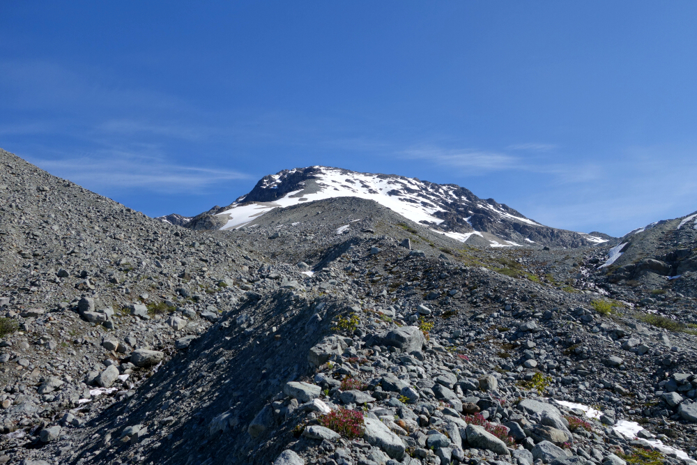
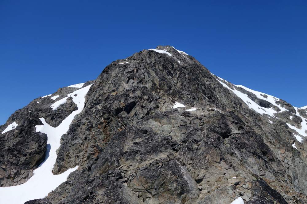
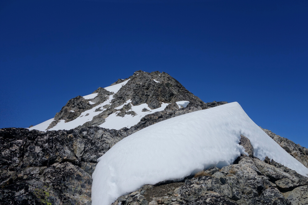
I considered going for slightly higher Fowl Peak, but the topo contours suggested something considerably less involved than what I saw in front of me. It certainly goes but entailed more dealing than I was expecting. I was also getting close to my turnaround time, and the weather seemed to be taking a turn for the worse. I narrowly escaped a thunderstorm the last time I was in the area and had no interest in a long hike out in the rain. So, I opted for the obvious peak immediately north of the pass instead. It's only ~25 feet lower and probably has better views anyway. A smidge over four hours to get there.
Started back down after about 15 minutes on top, wanting to get out before dark. No issues there, reaching the trailhead just after 9 p.m. with daylight to spare for the drive down the FSR and back into Pemberton. Curiously, there were hardly any bugs until reaching the talus area below the pass on the way in, but my oh my were they THIRSTY on the return. No time to stop and take a piss even! To be expected, I suppose, considering the time of year and all the lakes around. Better once back in the Chain Lakes basin, but then back in full force at the truck!
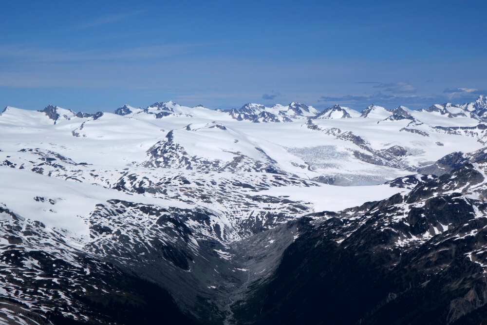
About 21 kilometres round trip and 3,300 feet of vert, not including all the ups and downs, of which there are plenty. This trip exceeded my expectations, as the scenery is top-notch. Definitely an area that deserves far more attention than it apparently gets.
Ample Mountain - West Route via Seton Retask Road, June 2025
Rising from the east end of Seton Lake and visible from Highway 99 shortly before Lillooet when approaching from the south, Ample Mountain is a lesser peak surrounded by local giants but with surprisingly excellent views. Furthermore, the stats—about 4 kilometres round trip and 1,500 feet of gain—make for a very reasonable outing, especially well suited to those looking for an easier hike after climbing Mount Athelstan the day before, for example!
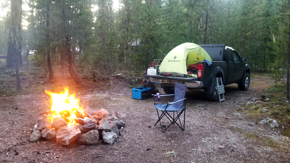
Most of the elevation gain is done on the Seton Retask Road, which I took to reach the trailhead. This road remains a bit of an enigma to me, considering how seemingly unsuitable the steep, rocky slope immediately west of the highway appears for such a road. But rest assured, it exists and is actually quite good by SWBC FSR standards, providing access to the popular Seton Ridge Trailhead en route to the comparatively obscure one used for Ample. Continue a short distance beyond the trailhead to a large landing and parking area, complete with outstanding views overlooking Seton Lake. This would make an excellent car-camping spot for anyone coming in the night before—a room with a view!
With the truck parked at said landing, I proceeded a short distance back down the road before turning left onto what remains of an old spur, now forming the initial part of the Ample trail. A short distance later, I turned up and left into the forest, following a worn path as it switchbacked up the peak's gentle Northwest Ridge. The path is easy to lose, which was exactly what happened to me, as I was suckered a little too far right toward Ample's cliffy South Face by game trails and whatnot. Even so, this turned out to be a decent way up the mountain, with a few views along the way making up for the minor detour.
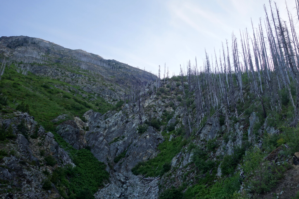
Eventually, all trails and paths converged onto the sharpening crest of the West Ridge, with the rocky summit ridge and various false summits now coming into view. This is also where the route becomes festooned with giant "toothpicks"—bare, bleached trees, some still standing but most fallen and lying across the route. Somewhat tedious, but not terrible. At the first opportunity, I scrambled up the rock tower ahead for some enjoyable climbing, mercifully free of all the pickup sticks. Down the backside, only to find another false summit beyond. This one was best traversed below to the right, as it looked somewhat more difficult and exposed to climb over than the first.
From the final saddle, the remaining distance to the true summit was a simple matter of putting one foot in front of the other, and I reached the top a mere two hours after leaving the truck. The 360-degree view from up there was excellent, particularly toward Mission Ridge, stretching from Puck at its western end to The Nipple and McLean farther east. There was also a great view southward up both Phair Creek and Cayoosh Creek valleys. The mighty Mount Brew stood proud directly to the south-southwest, with downtown Lillooet and the Fraser River Valley showing nicely through the narrow gap at the confluence of the Seton and Fraser Rivers.
The standout, however, was without question the view overlooking Seton Lake—and for me, that was the reason for doing this hike in the first place.
I wandered around up there for about 30 minutes, taking in the scenery from every conceivable angle before starting back down. This time I managed to stick to the trail, returning to the truck just before 5 p.m. Now, that may seem rather late for such a short hike, but considering I didn't get started until a very Mediterranean 12:30, I'd say it amounts to a very civilized and high-value day hike!
Mount Athelstan - South Route via Upper Lillooet FSR, June 2025
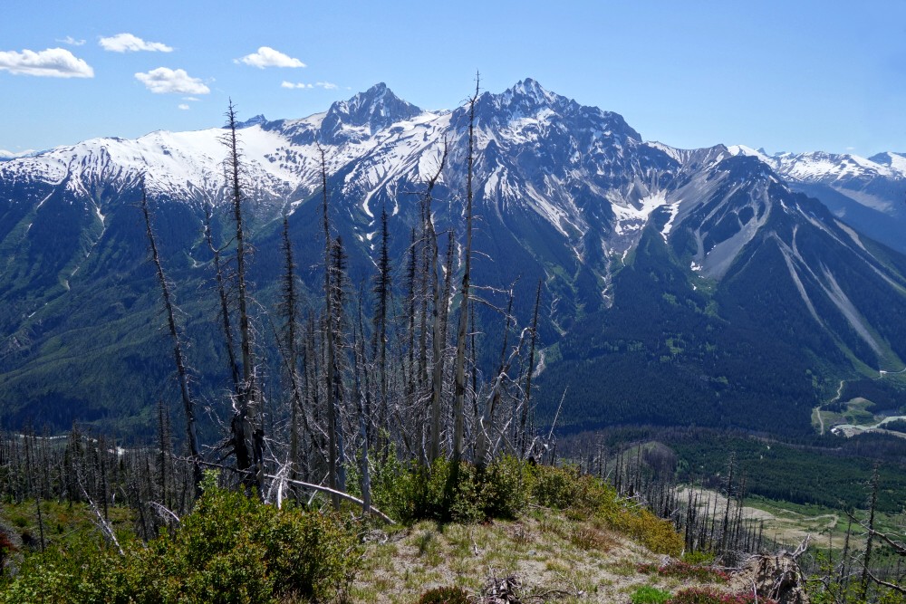
Athelstan has been on my mind for ages, especially after gazing across at it from the Pebble Peak area some years back. The south route described here is direct, steep, and relentless, with a reputation for exhausting "two steps forward, one step back" pumice slogging. Tackling it in early summer avoids much of that nonsense, as snow still blankets the worst sections. Better yet, it makes for one long-ass glissade on the way back!
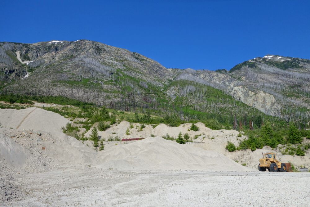
I parked about five minutes short of the mine gate near the end of the Upper Lillooet River FSR, as the road has become eroded with a deep ditch running across it. Probably manageable in a 4x4, but I didn't feel like risking it, and it adds very little to the overall day anyway. From there, I headed through the mine site, taking a direct line toward the timbered (now mostly burned) spur leading into the alpine below the peak. Finding the best place to cross the two ravines before reaching the spur is key, as it keeps both the bushwhacking and general faff to a minimum. Lower is definitely better, with less elevation loss and gentler sidewalls. About two hours brought me to the base of the moraine.
Then came the endless UP.
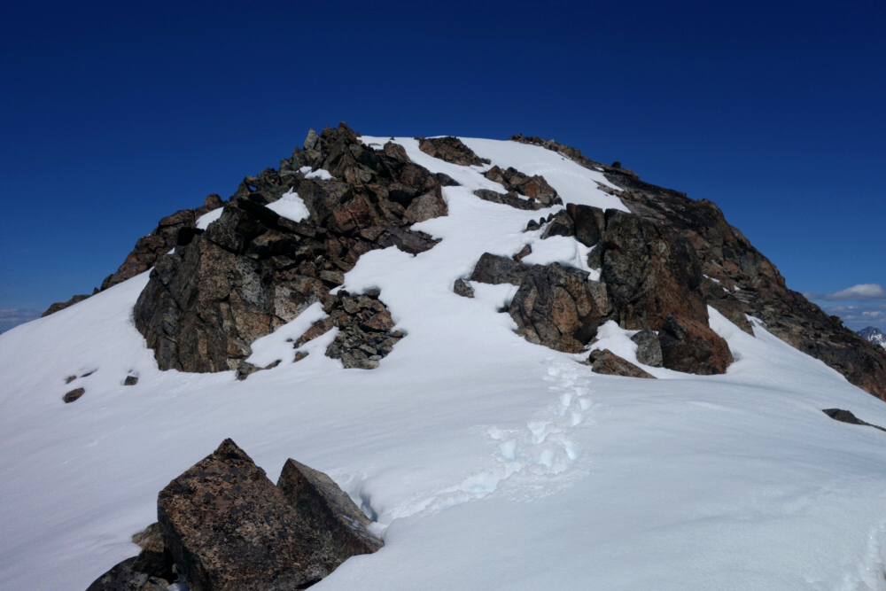
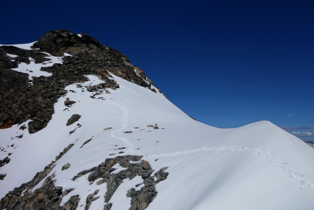
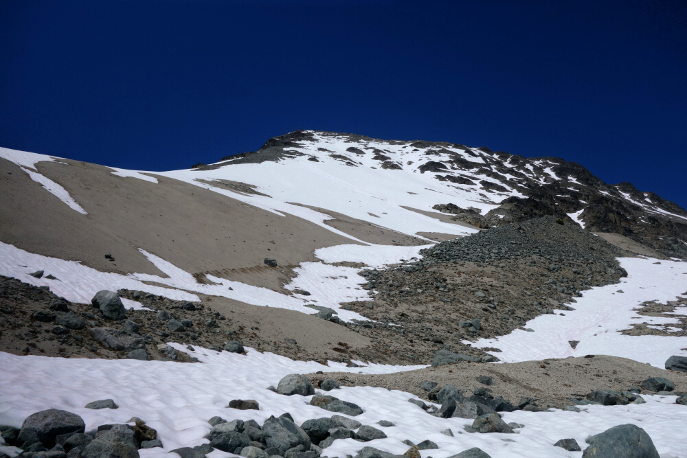
I slogged to the top of the main snowfield, where the dreaded pumice finally became unavoidable—fortunately not for long, as solid rock appears just to the left. At a snail's pace, I worked my way through this section before reaching a bench where the scrambling finally begins. The remainder of the route is best described as a series of scrambly steps separated by snow patches on the more level sections. There are a few steeper bits of rock here and there, but overall the exposure is moderate and well within the comfort zone of a competent scrambler.
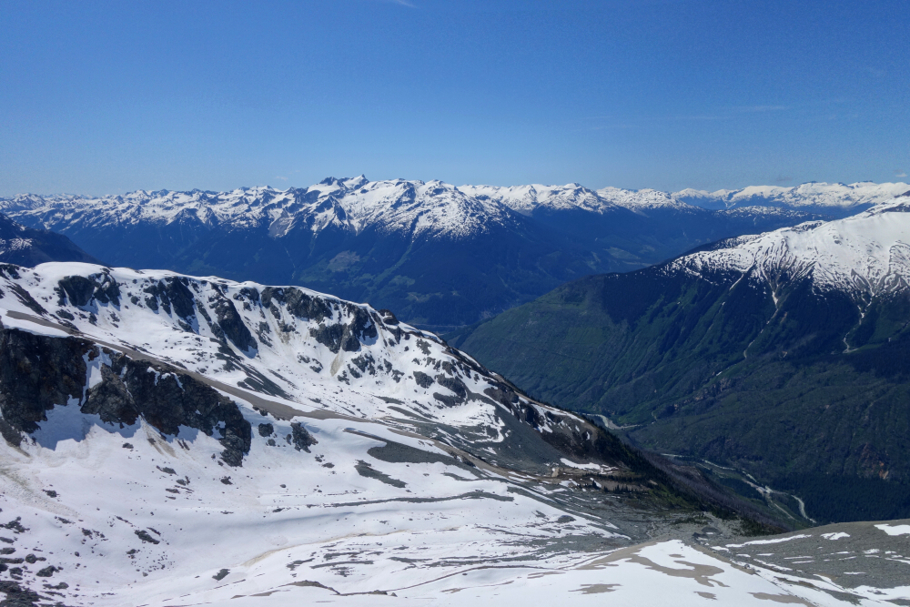
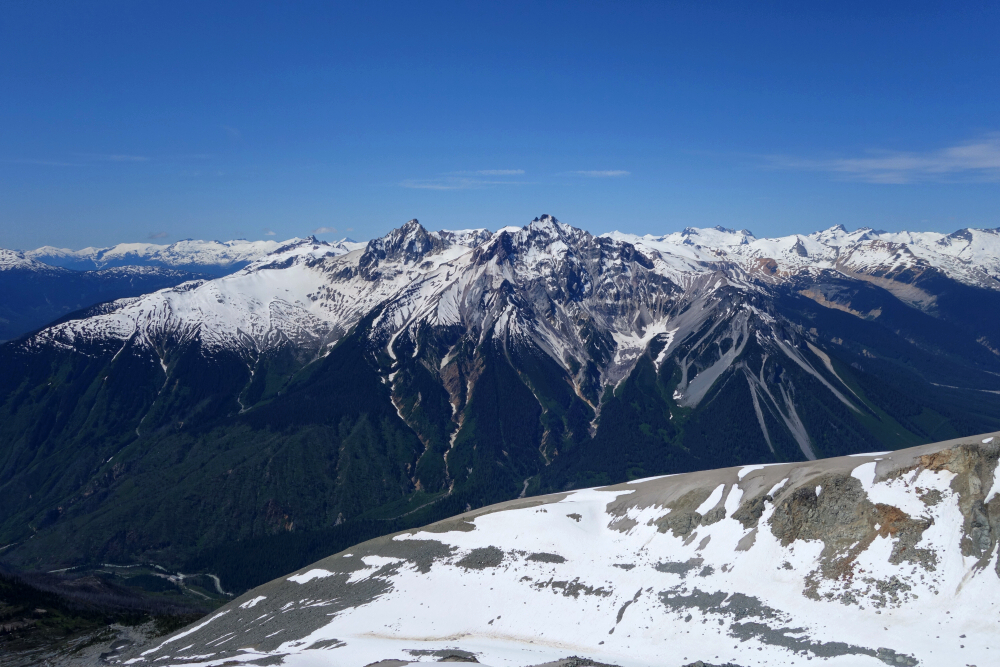
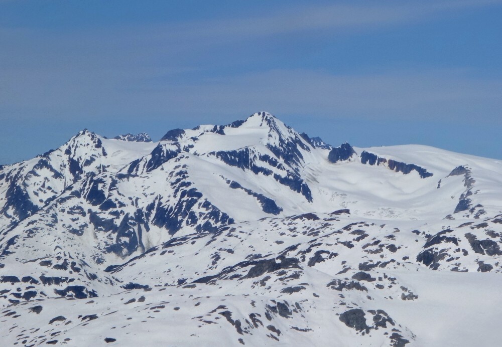
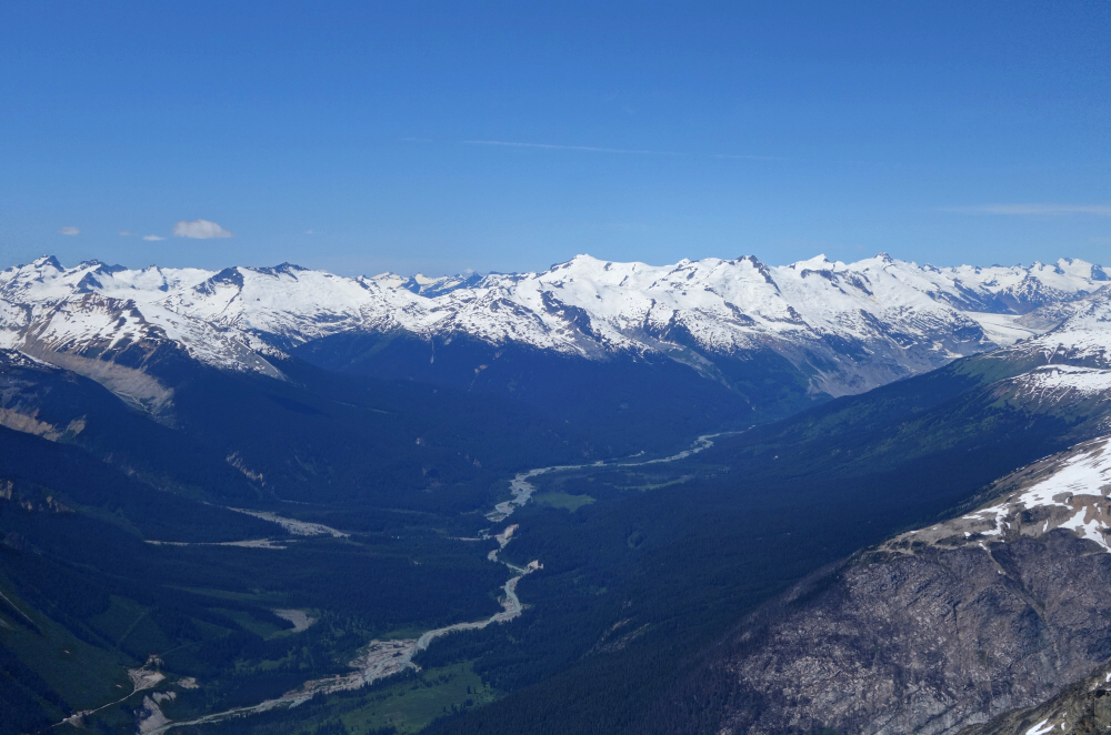
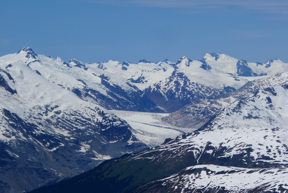
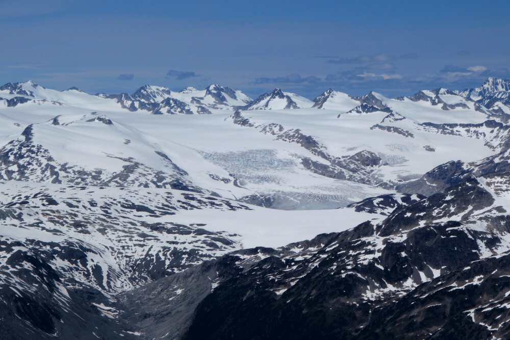
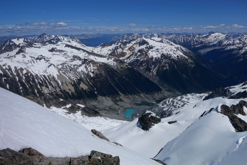
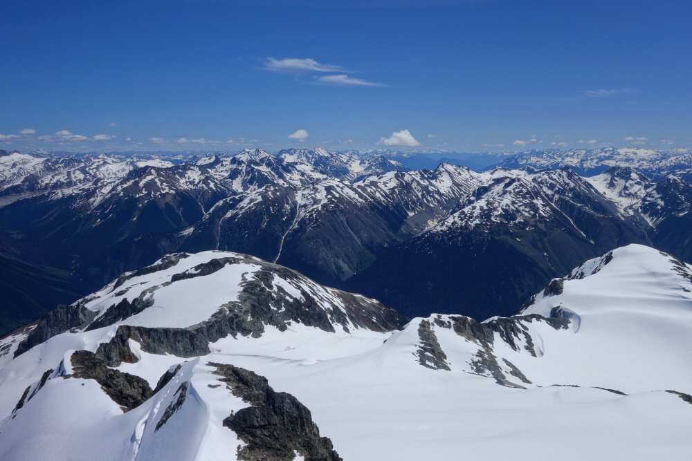
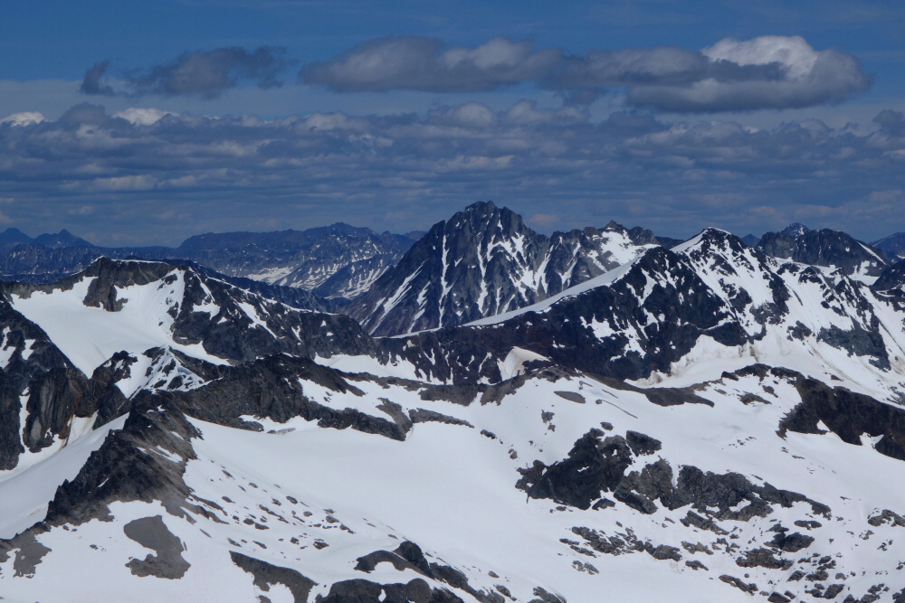
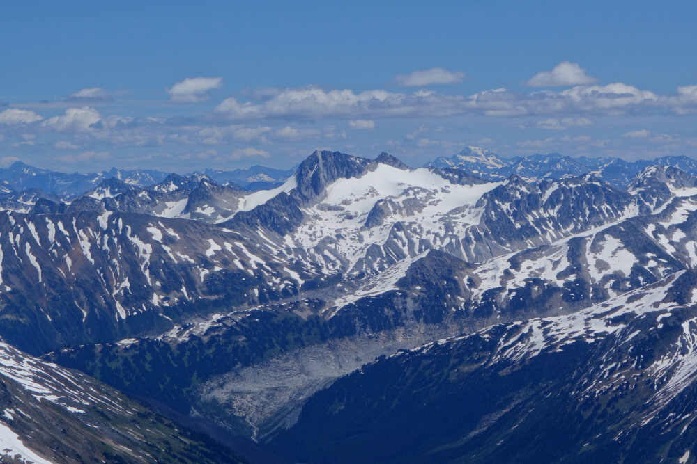
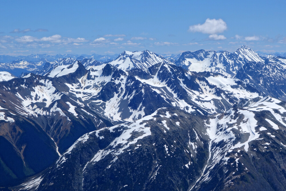
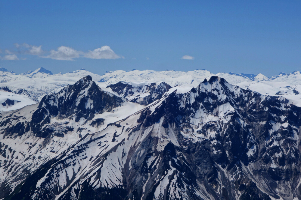
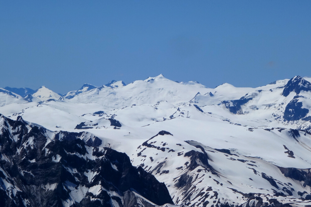
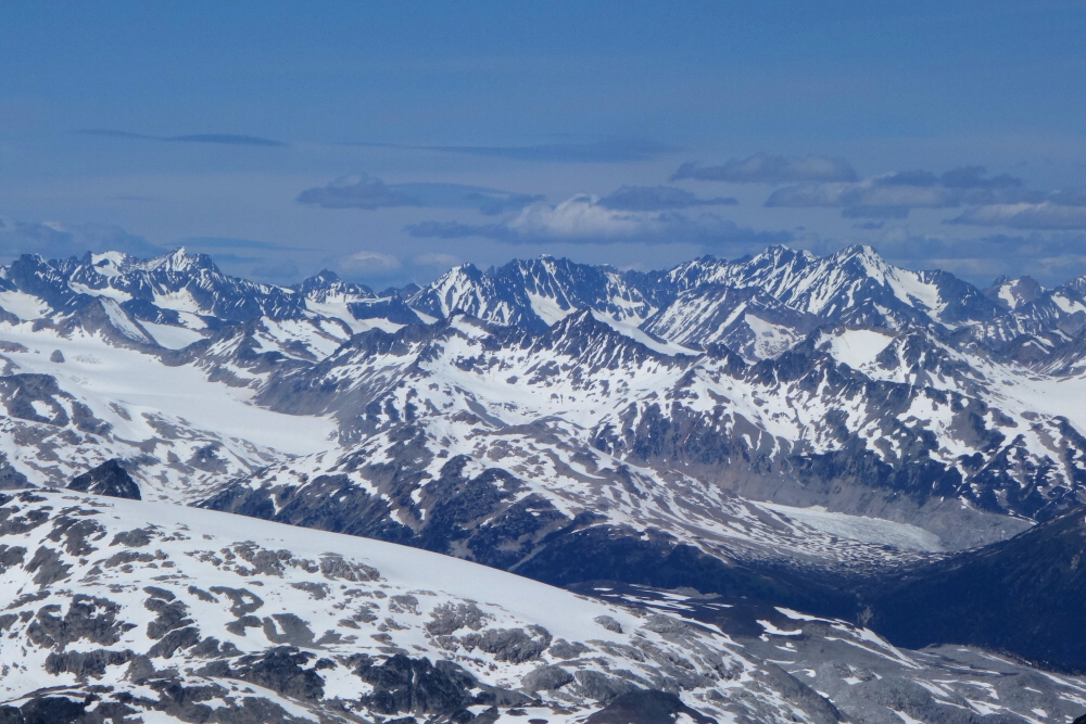
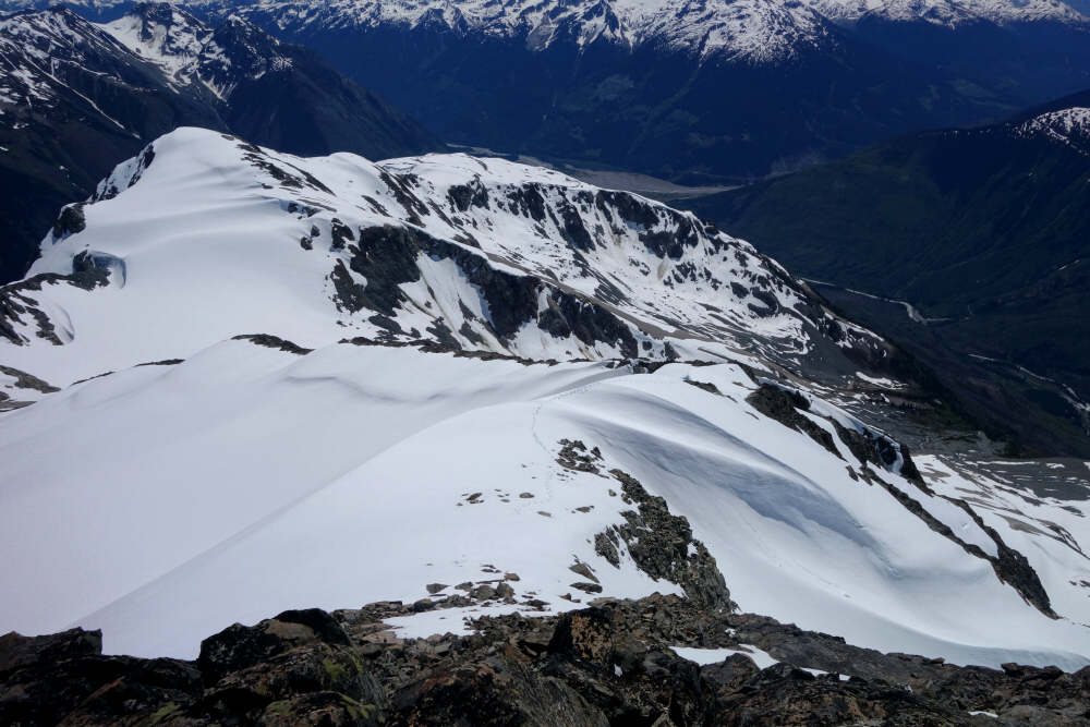
A sizeable summit cornice was still hanging on, so I didn't dare venture beyond the cairn. The views, however, were outstanding in every direction, particularly toward the icefields and towering peaks to the northwest. Sampson, Thiassi, Ethelweard, Meager, Overseer, Pebble, and countless other familiar summits all showed up beautifully. I carried an ice axe and crampons but never felt the need to use either. The climb took a laborious six hours—ugh!—followed by a scorcher of a descent that, thankfully, included at least one glorious glissade. About ten hours round trip all told. Afterwards, it was off to the Duffey for the night before hiking Ample the following day.
Surprisingly reasonable stats for such a significant peak! For anyone considering Sampson but put off by reports of bushwhacking and its generally brutal approach, I'd strongly recommend Athelstan as an alternative. With the hike essentially starting from the driveable end of the FSR, it offers a wonderfully remote feel and an outstanding 360-degree panorama that would be hard to match anywhere else in the area.
It would be very much appreciated if you please ask before copying and/or re-publishing content from any part of these pages. To do so, please click here to send a message via feedback form.