Select from list below to jump to a specific area on this site.
| Latest Posts |
Thursday, September 24, 2026
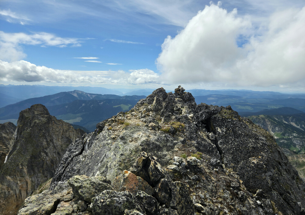
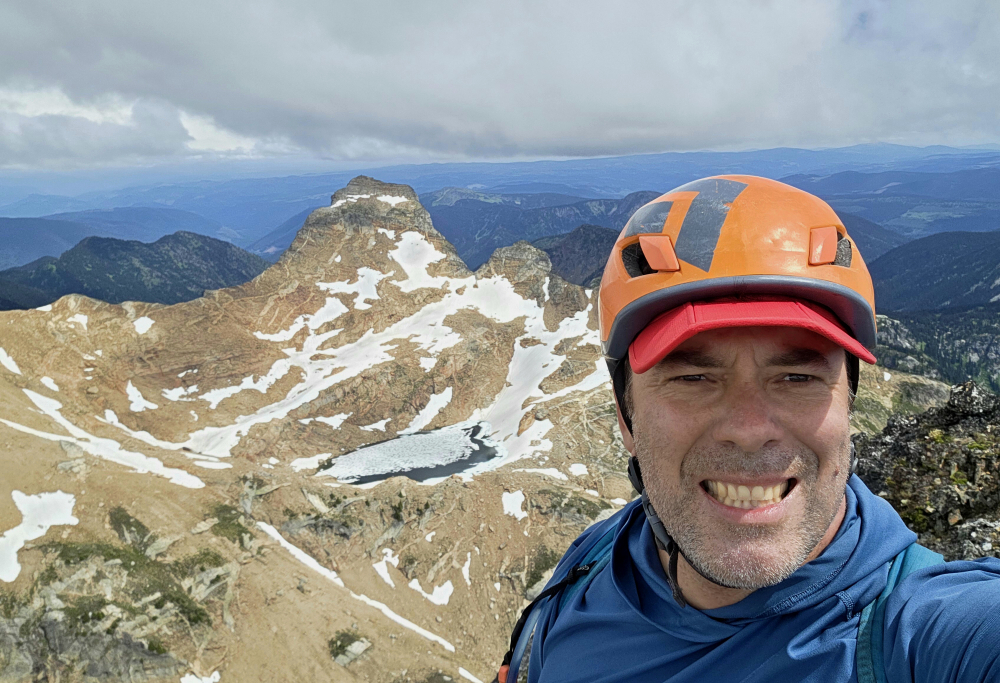
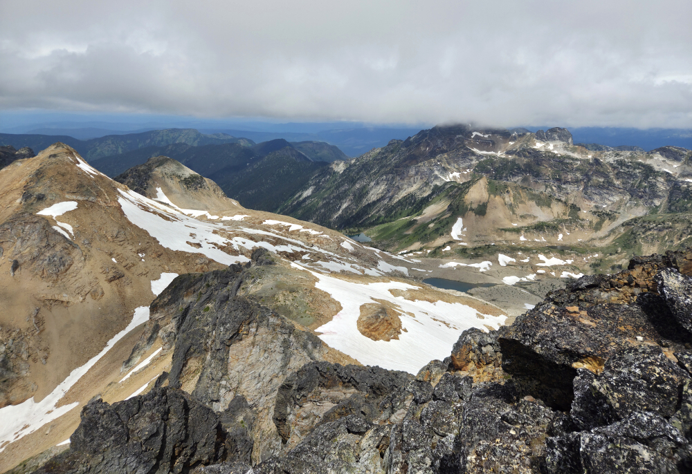
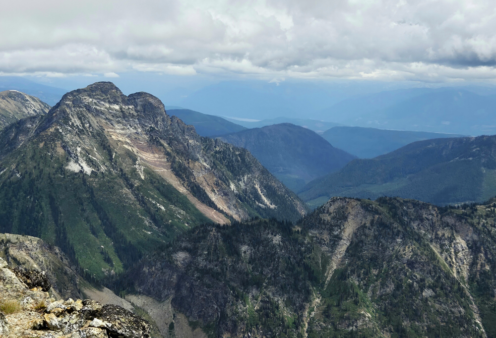
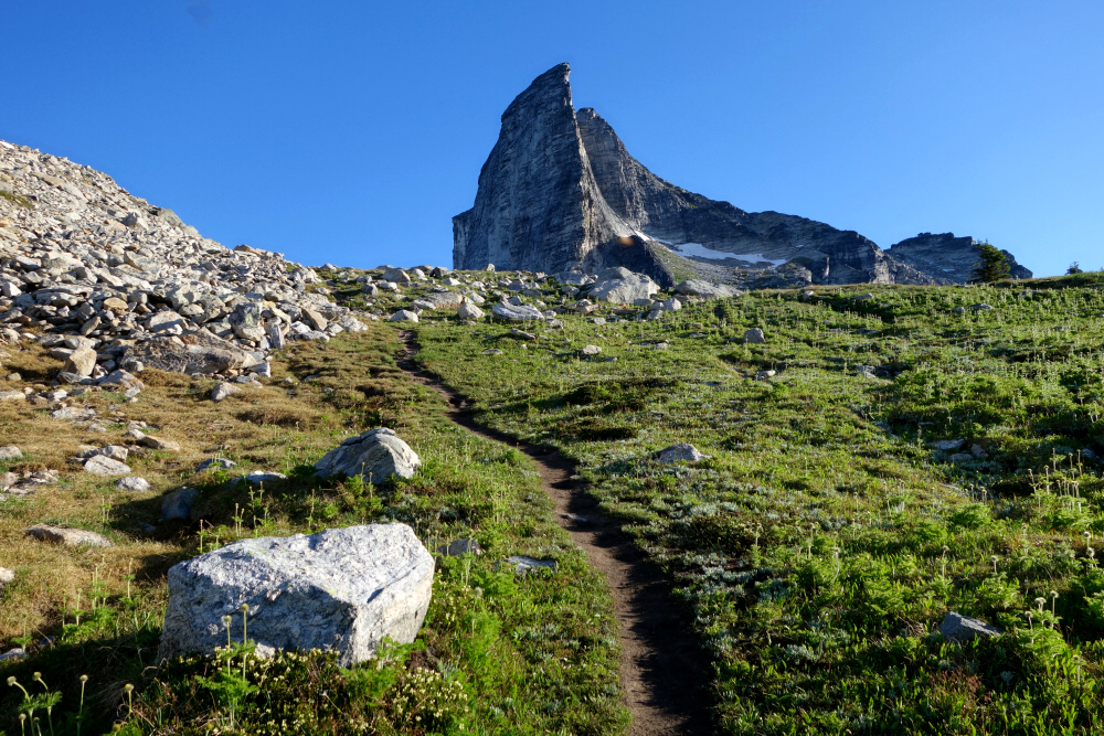
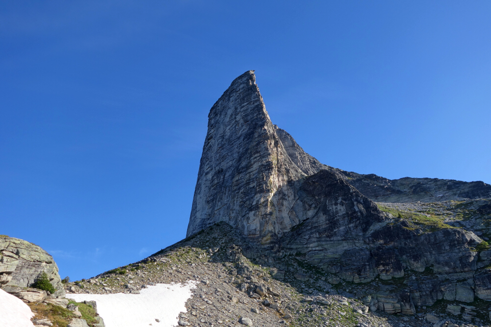
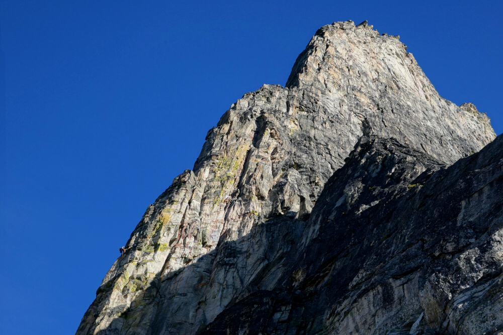
The Pinnacle - North Route via Monashee Creek, July 2025
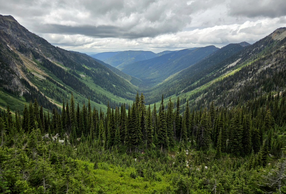
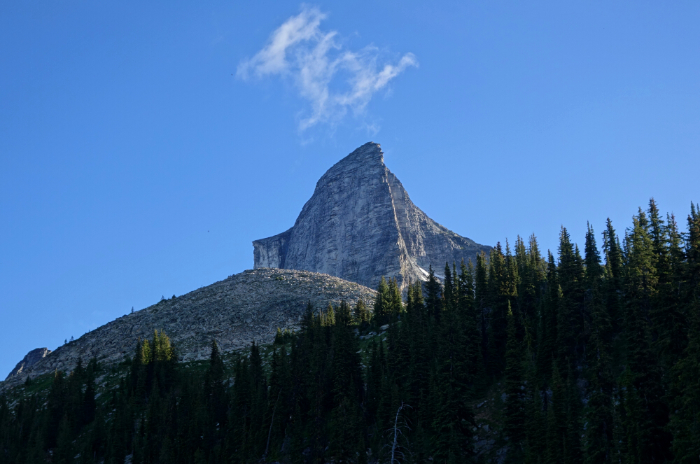
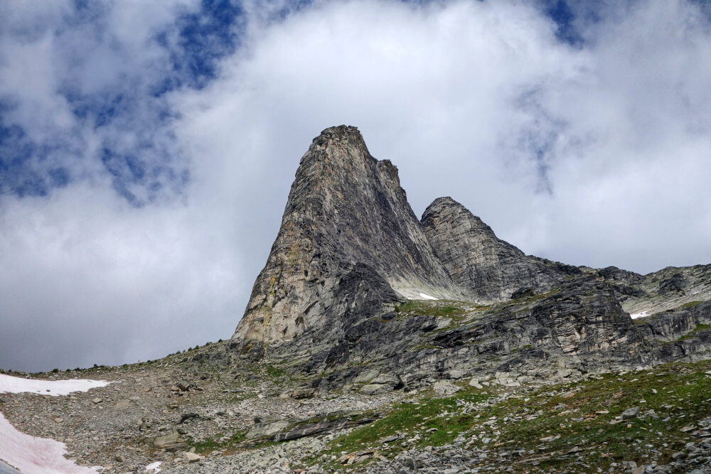
The Pinnacles are a compact subrange of the Monashee Mountains directly east of Vernon, BC. It has long been an objective of mine to visit the Monashees, something different and not too terribly far from Vancouver. With marginal weather forecast for much of the South Coast, the time was right to go make good on this plan.
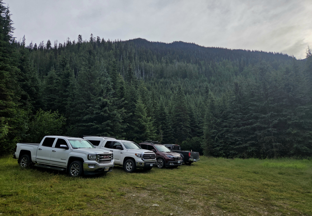
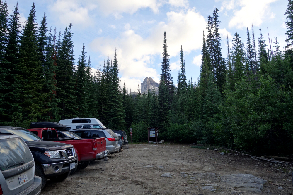
Drove out to Cherryville the afternoon before, calling it a night at a pleasant (paid) campground for a change—Route 6 Campground—nice folks. Note that the Cherryville Rec Site is day use only. On the road first thing in the AM for the short drive to where the FSR forks off from the highway. FSR in excellent shape, 2WD-friendly for the entire ~20 km to the trailhead.
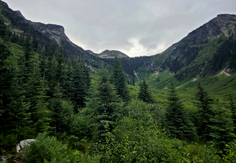
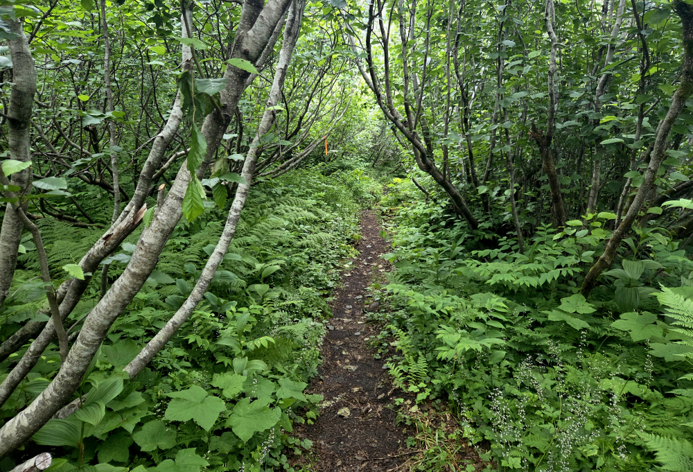
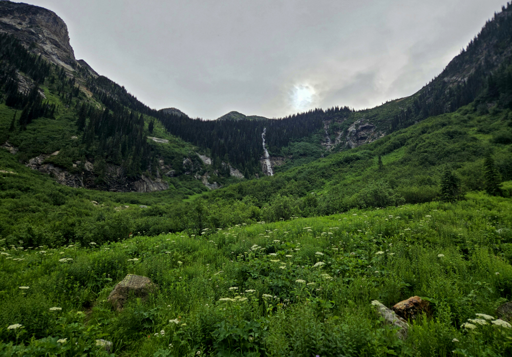
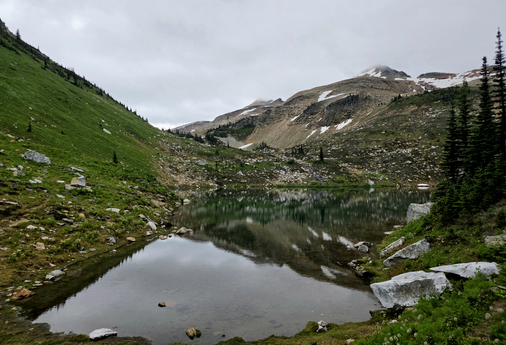
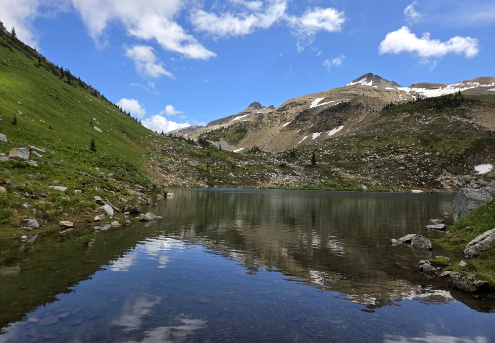
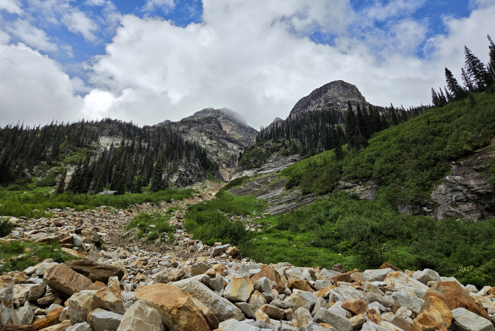
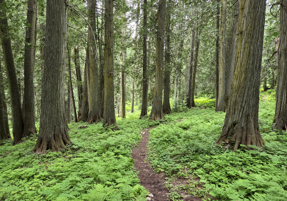
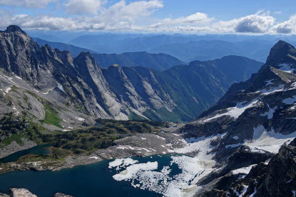
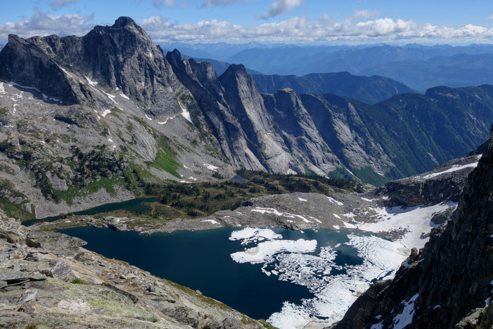
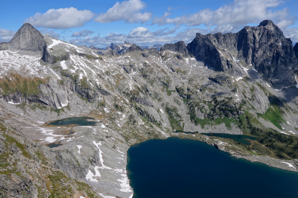
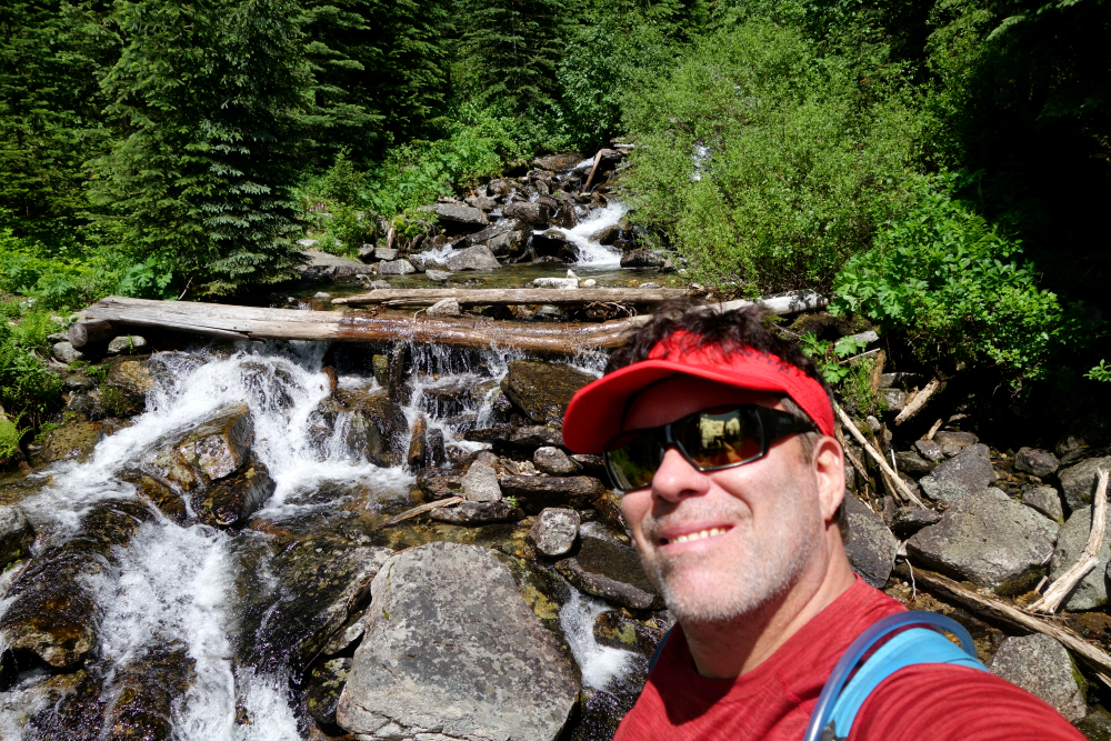
Trail from there to the alpine by Monashee Lake is likewise in great shape, marked, well travelled and maintained by some Vernon-based organization. A couple of kms of beautiful cedar old-growth forest soon give way to a neat stretch of alder tunnels before reaching the base of a large headwall guarding the lake basin above. Trail crosses the creek several times, leaving one guessing what side of the headwall it follows (looker's left). Finally, a steep grunt up a wash and beyond to reach the "hanging" Monashee Lake.
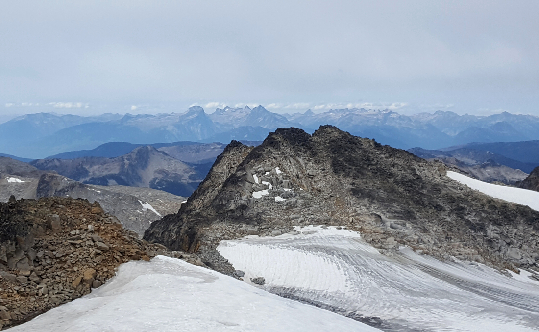
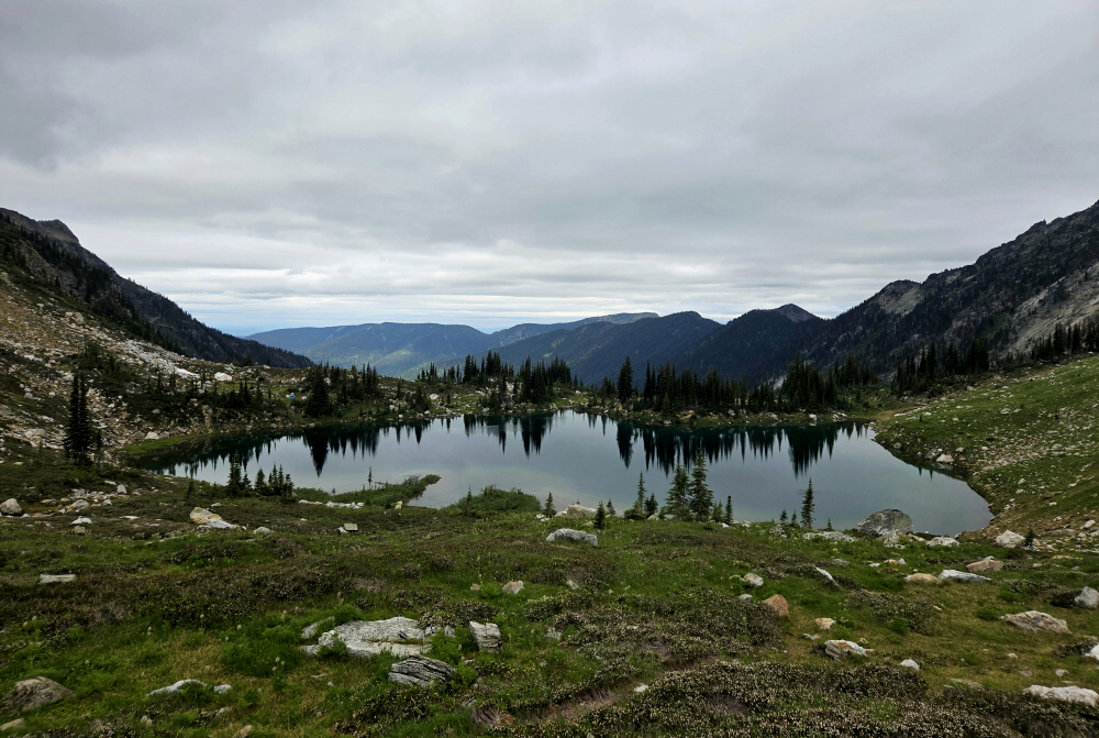
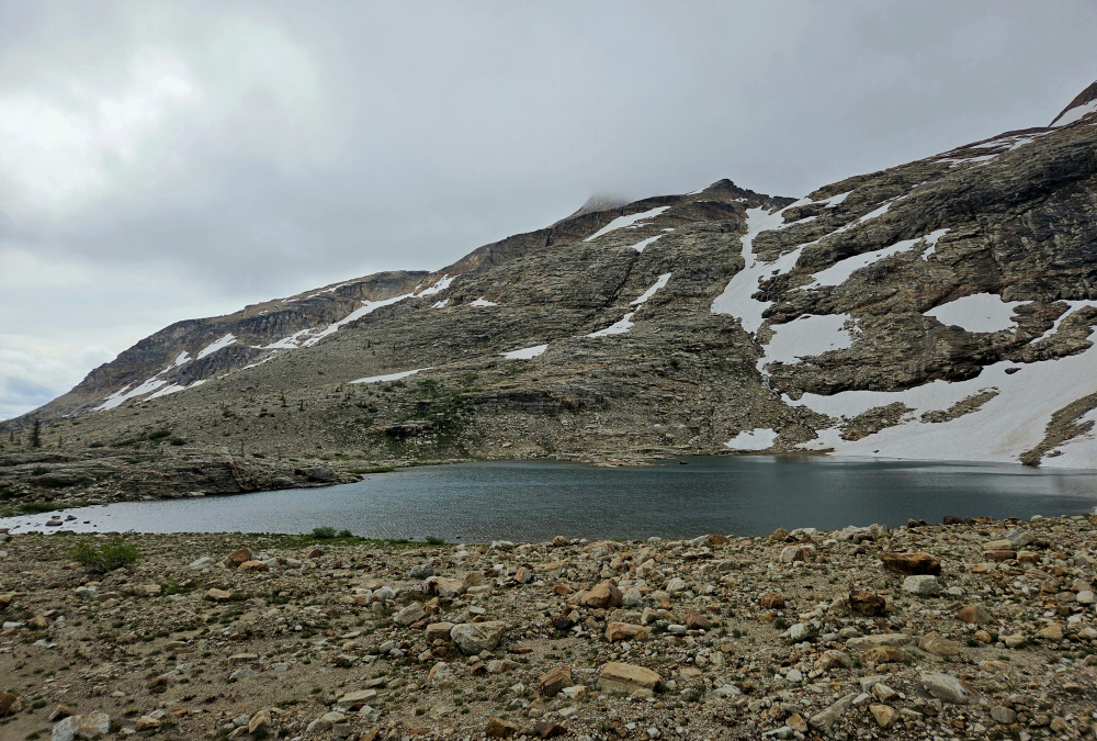
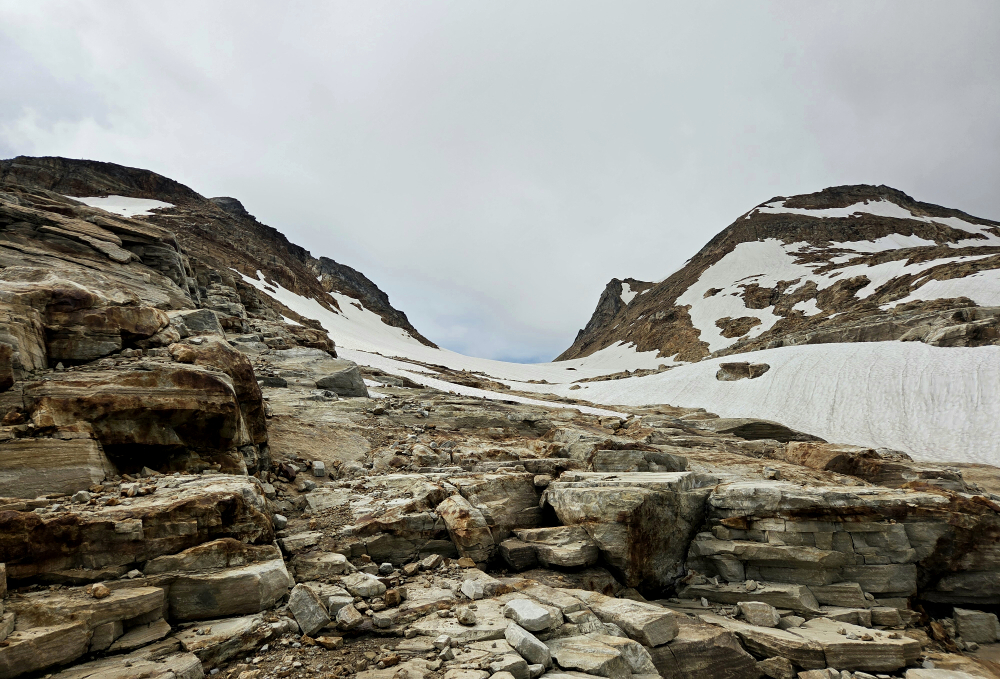
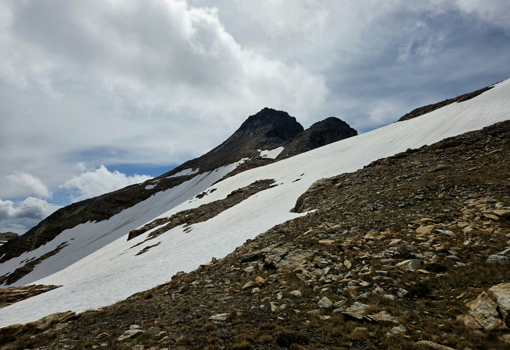
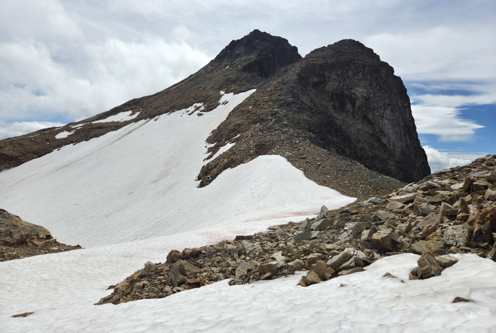
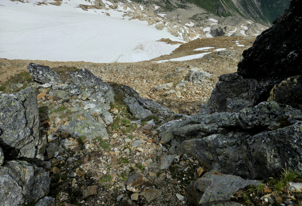
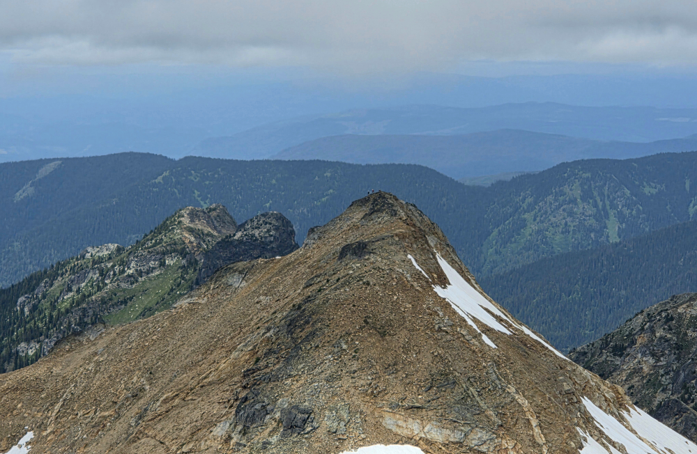
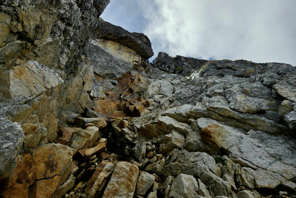
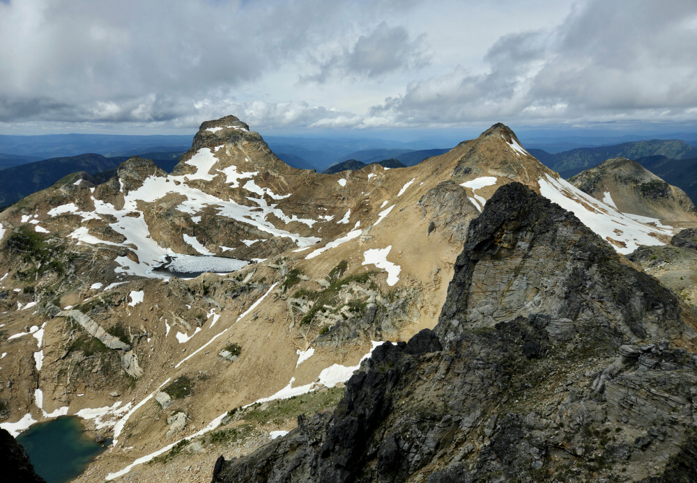
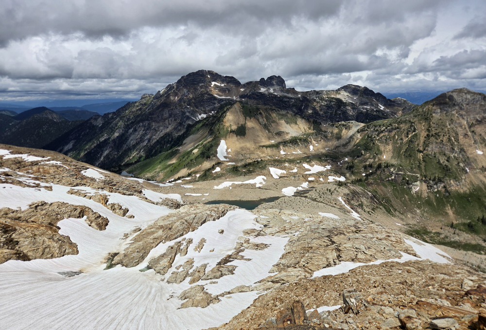
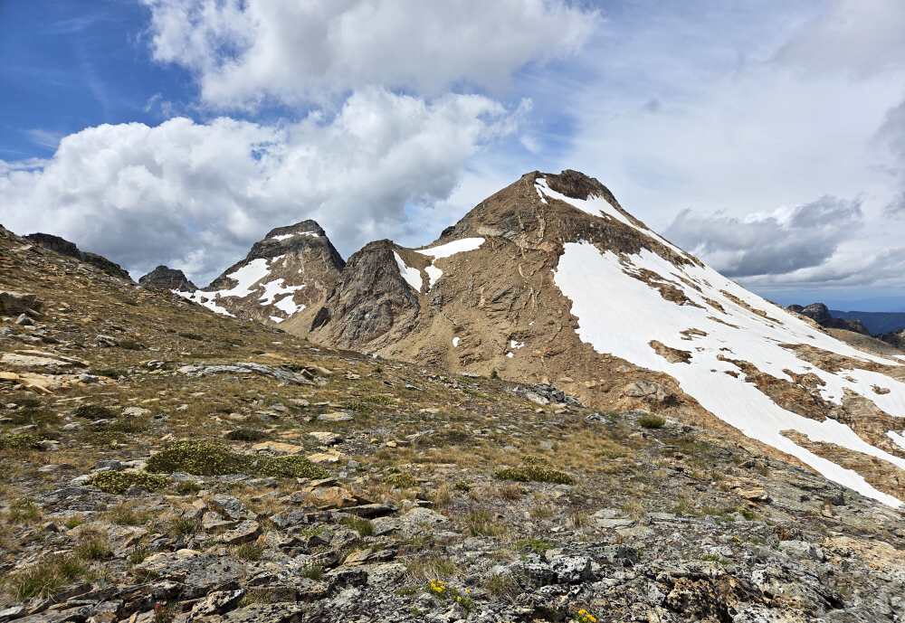
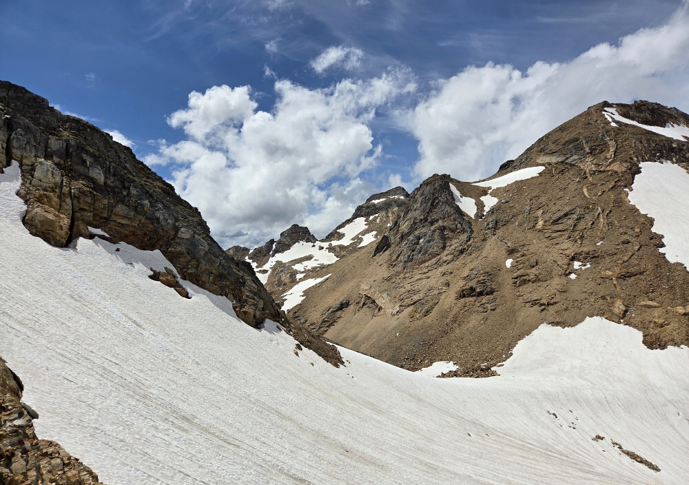
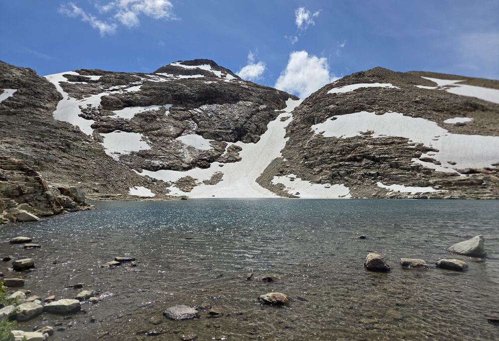
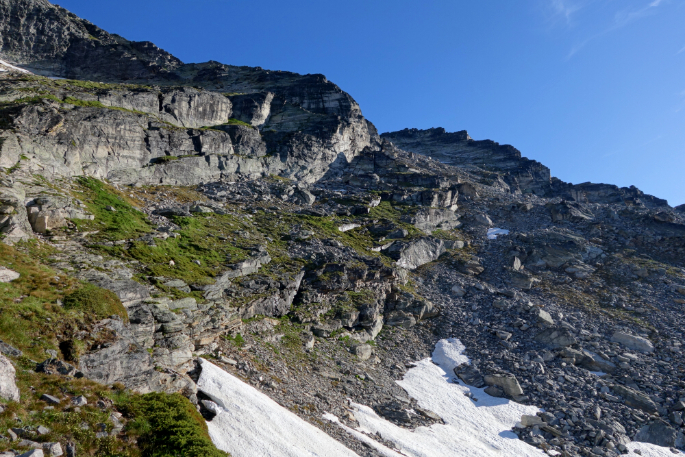
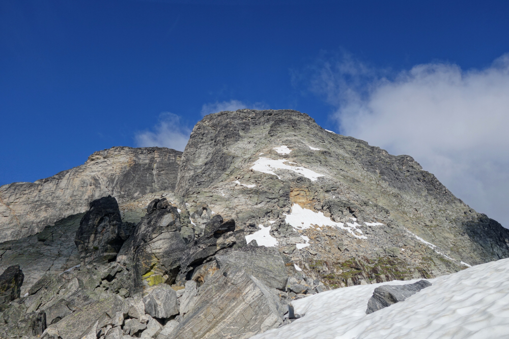
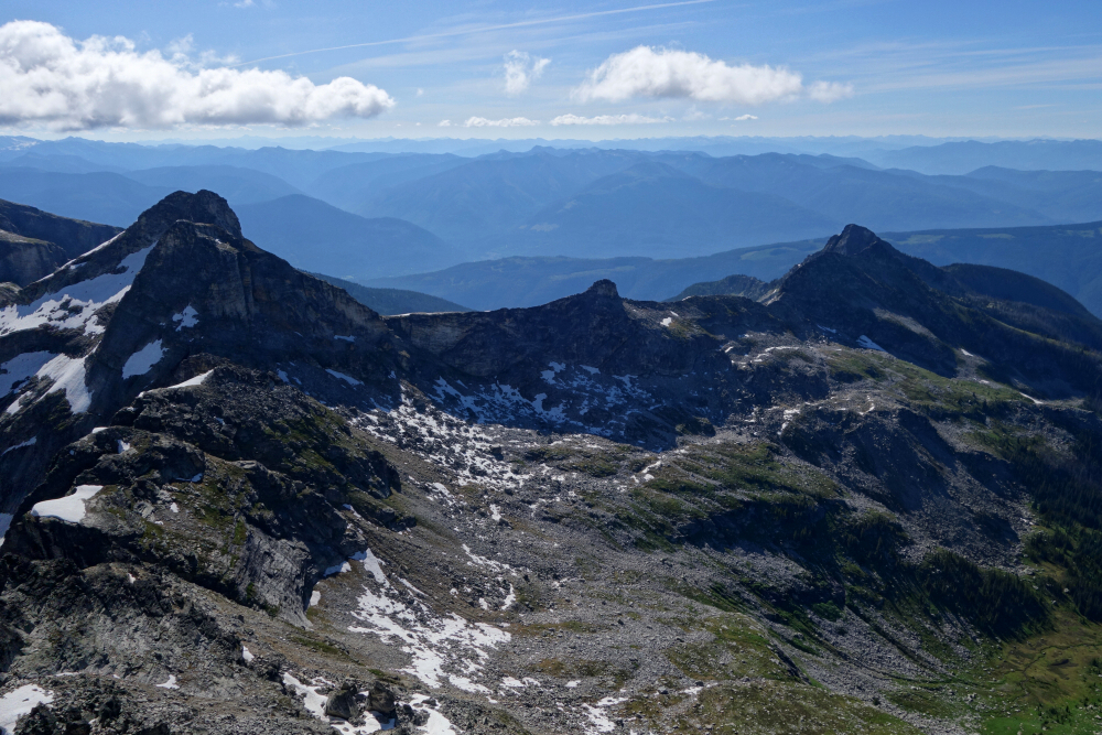
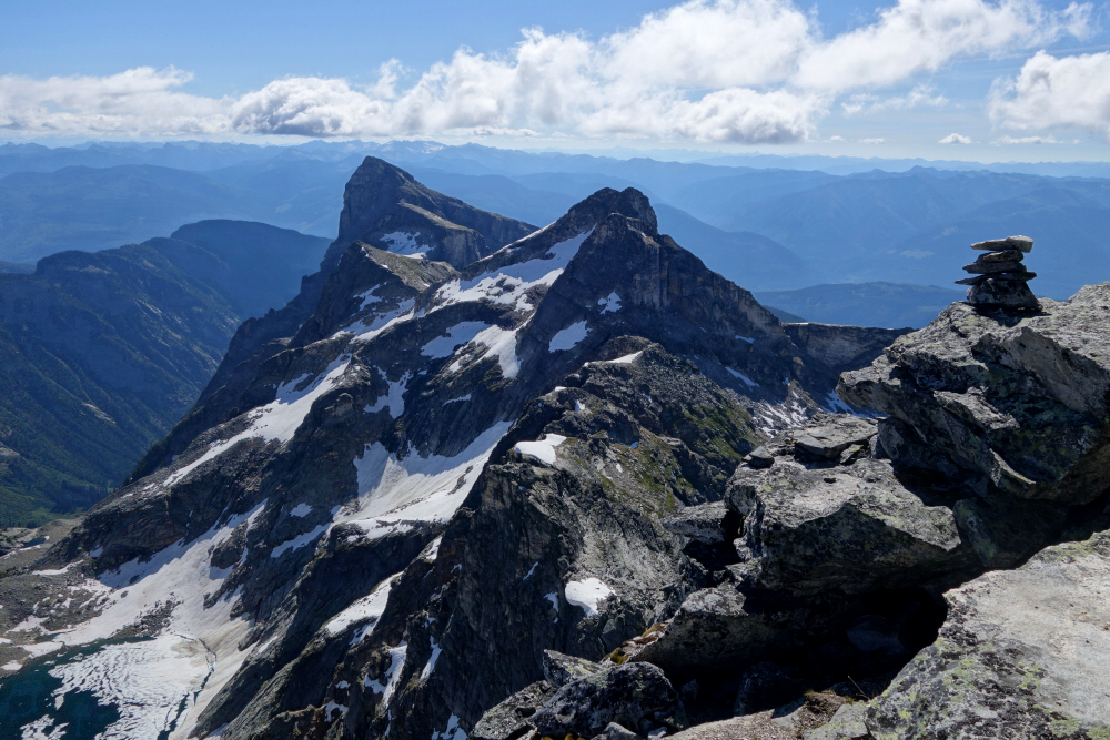
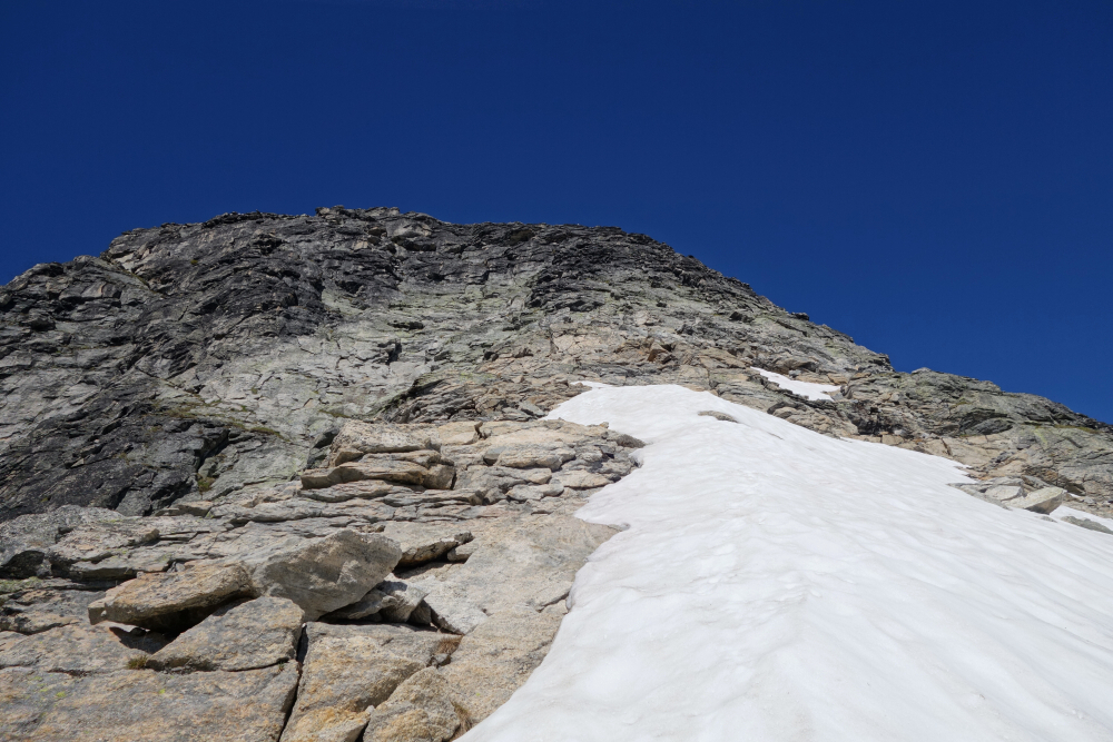
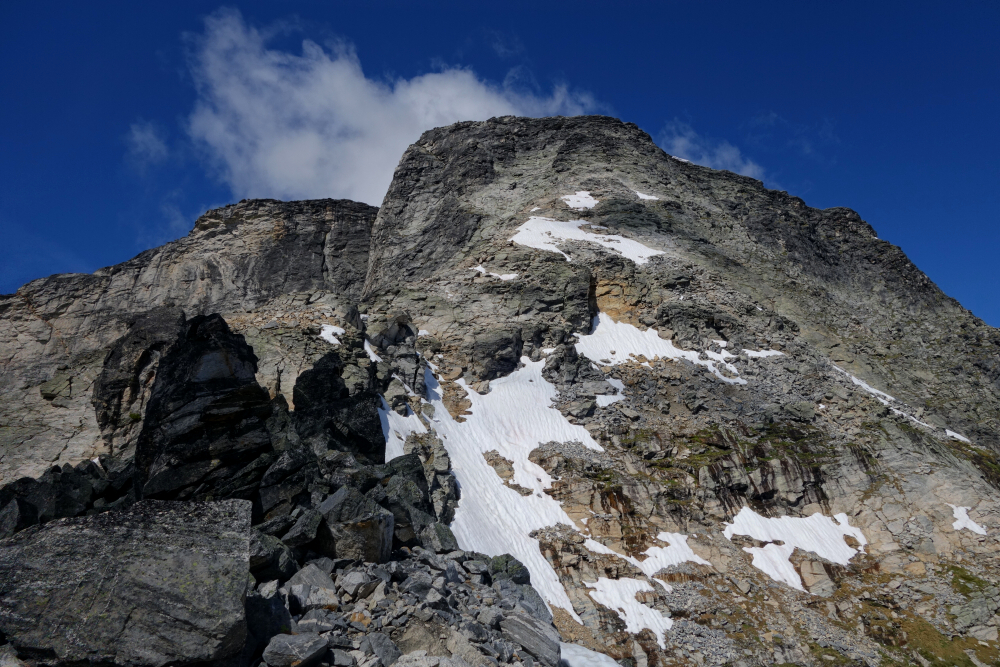
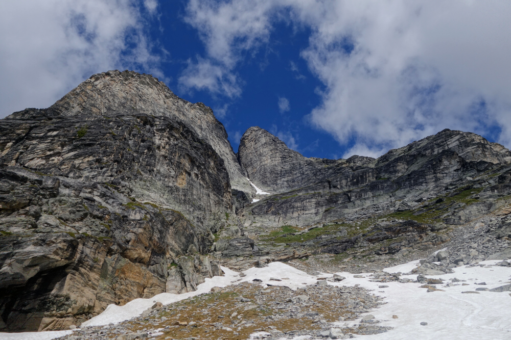
Continued towards the other large lake up there, directly below Middle Pinnacle, before turning up towards terraced slabs above. Soon reached a snowfield (glacial remnant) between the peaks, turning left now to gain the NW Shoulder (occasional cairns). Up as high as made practical sense before traversing a talus slope across the North Face, aiming for the base of a prominent gully that affords a reasonable route up to the summit. Ditched the poles and proceeded up the gully, finding mainly 3rd-class scrambling on relatively decent rock before it makes a short dogleg to the left. Here the gully became quite loose, and I took to the rib at left to avoid this for the final bit to the summit proper. Moderate exposure but beware party-induced rockfall if others are present. Axe and 'pons once again as training weight.
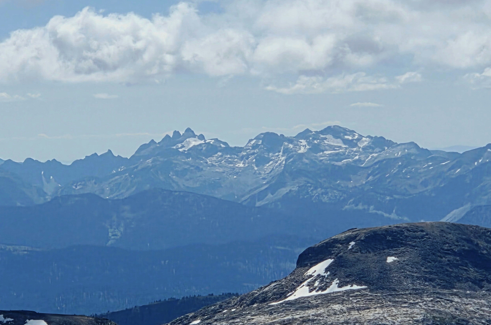
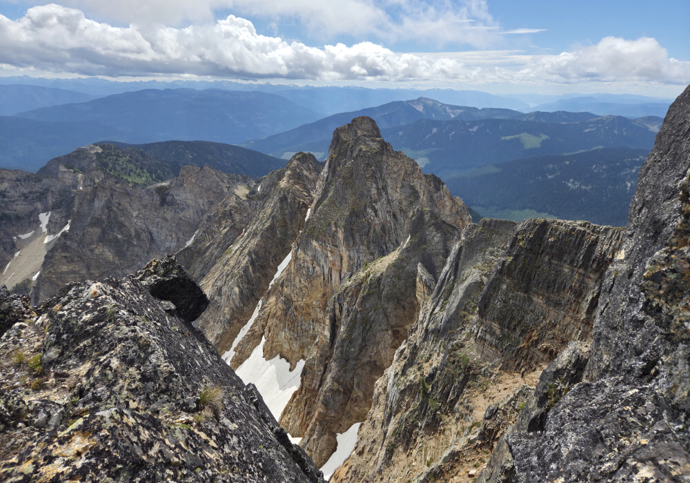
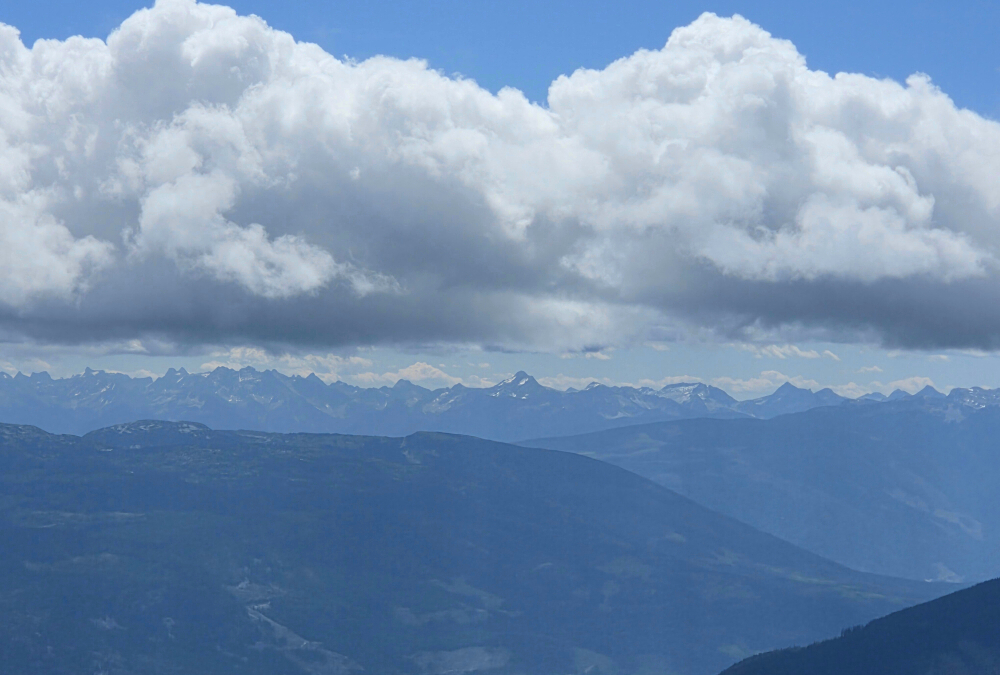
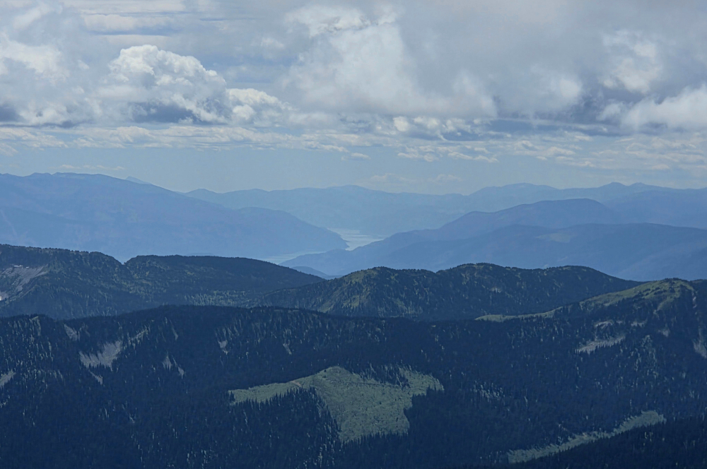
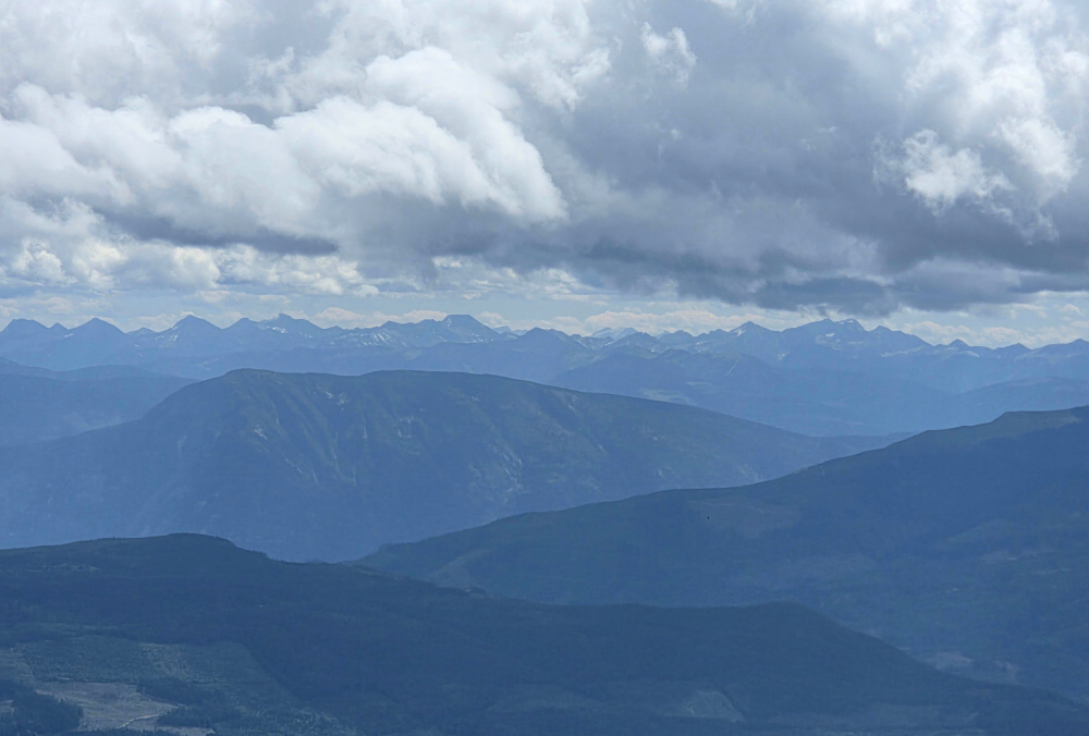
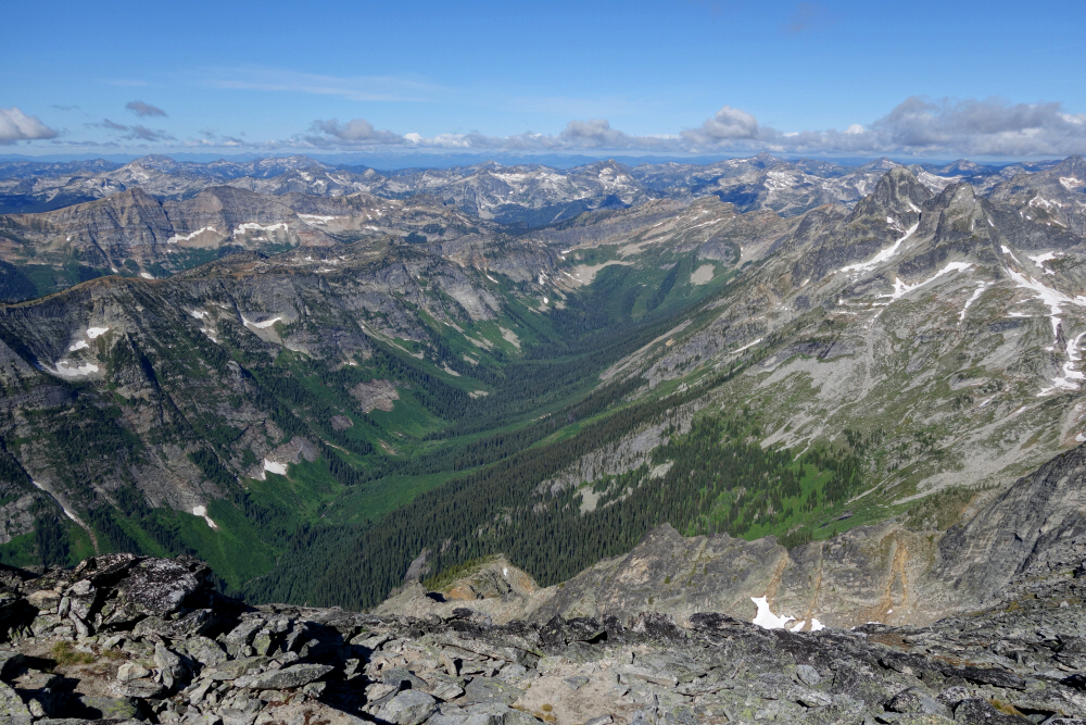
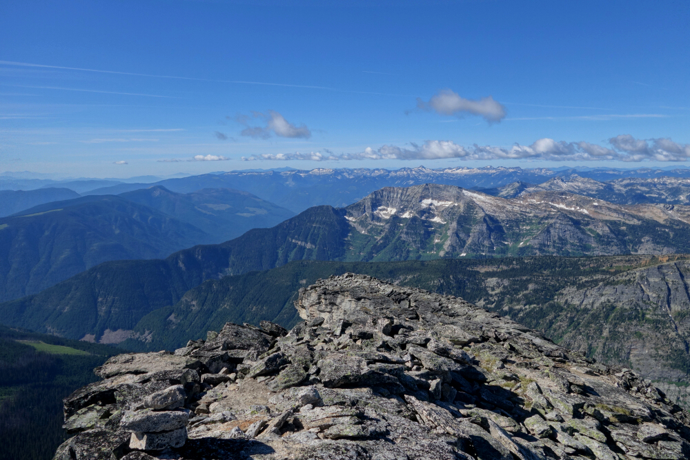
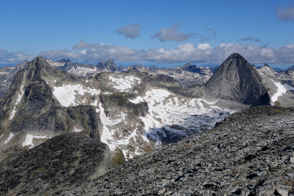
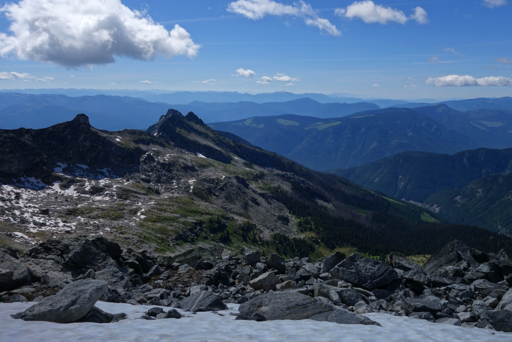
A very casual 4 hours up, making sure to take it slow to time my arrival on the summit to coincide with the forecasted midday clearing. Heavy clouds to the west and north, but a mix to the east and south. Saw a couple of others out on the summits of both Middle and, a bit later, South. Curiously, slightly higher Mt. Severide, a mere ~3 km as the crow flies to the NNW, remained in cloud almost all day.
Great first taste of the Monashees. There will be more to come, I'm sure.
Squamish Headwaters - via Squamish Main FSR, July 2025
Always been a bit curious about this one. A major icefield, reasonably close to a major metropolitan area, almost entirely encircled by forest service roads and the source of most of the water feeding the mighty Squamish River. Yes, the Pemberton Icefield is frequently traversed by snowmobiles in the winter, but summertime access is another story entirely. When tales of a rough trail into the zone starting from the literal end of the Squamish Main FSR began emerging, I knew I needed to pounce before the road heaven forbid got washed out again!
Our original plan was for Numbers Peak, initially as an overnighter, but we compressed it into a one-dayer due to a deteriorating weather forecast for our second day. Together with Gina and Ling, we decided to go anyway and see how far we could get. Either way, the views certainly wouldn't disappoint. We ended up calling it at the base of the peak, as time was getting away from us and I was starting to get a faint whiff of a sufferfest in the making. At our average pace, I'd conservatively guestimate another four hours round trip from that point, making for a 14-to-15-hour day and at least 2,100 m of gain (~6900 feet). Note that we did burn an hour-plus faffing about checking out the glacier snout and poking around on Little Ring as a consolation, bringing our total to 11 hours.
FSR/Drive - The Squamish FSR was in decent shape all the way to the end, all things considered, with a few water bars but nothing an SUV should have much trouble with. We parked at the drivable end of S-913, right before a giant split log spanning the road. Much to our surprise, there were already two other vehicles parked there.
Approach - We initially got suckered by some blue flagging leading off to the left and up into the forest, spending the next while making an ascending, semi-bushwhacky traverse before eventually intersecting the "proper" pink-flagged route. I don't recommend repeating this.
We did much better on the return, so here's the skinny: proceed past the split log to the very top of the cutblock beyond. There are numerous ribbons around the trees here, although it's impossible to tell whether they're intended to mark the route or simply delineate the periphery of the cutblock (likely the latter). Either way, go on faith and proceed up and right until reaching the edge of a significant creek/ravine (McKenzie Creek?). Follow the edge upward and, in short order, you'll locate the ribbons. They can be difficult to spot at times, but rest assured they're there.
The route is essentially a flagged bushwhack—mostly through blueberry bushes—rather than a trail per se. The ribbon route generally keeps the creek within earshot as it continues up and right for much of the approach, eventually leaving the creek area as treeline approaches. Here it makes a sharp jog to the left toward a minor boulder field, which can then be easily followed upward into the alpine below Little Ring.
Alpine - Getting around Little Ring is a pain. You have to go up and over the east shoulder, and my instinct was to minimize the elevation gain/loss as much as possible. Unfortunately, traversing all that loose volcanic choss proved far more tedious than expected. We eventually opted for a gully where the footing was better, topping out on the shoulder more than 100 m higher than originally planned. From there came a soul-crushing 300 m descent to the flats below Numbers' west slopes. We called it here.
The route we had in mind traverses up and left from this point across vegetated and somewhat steep slopes, as described in Stephen Robs' 2024 report posted to the SSWBC Group on FB. I'm thinking spikes would be helpful for what appears to be a long and likely greasy traverse—not something I'd be particularly happy about in wet conditions.
We encountered a party of two returning from exploring the glacier snout; they had spent the previous night camped at the large lake ESE of Little Ring. We later encountered another group of three farting around below Little Ring, with, unbelievably, a small wiener dog or similar breed in tow. How that poor thing managed to make it through all that bush and rough terrain is a mystery to me.
Famine Peak, just beyond Numbers, somehow caught my eye while we were up there. Might make for a neat overnighter once the memories of the interminable drive up the FSR and approach thrash have faded a bit!
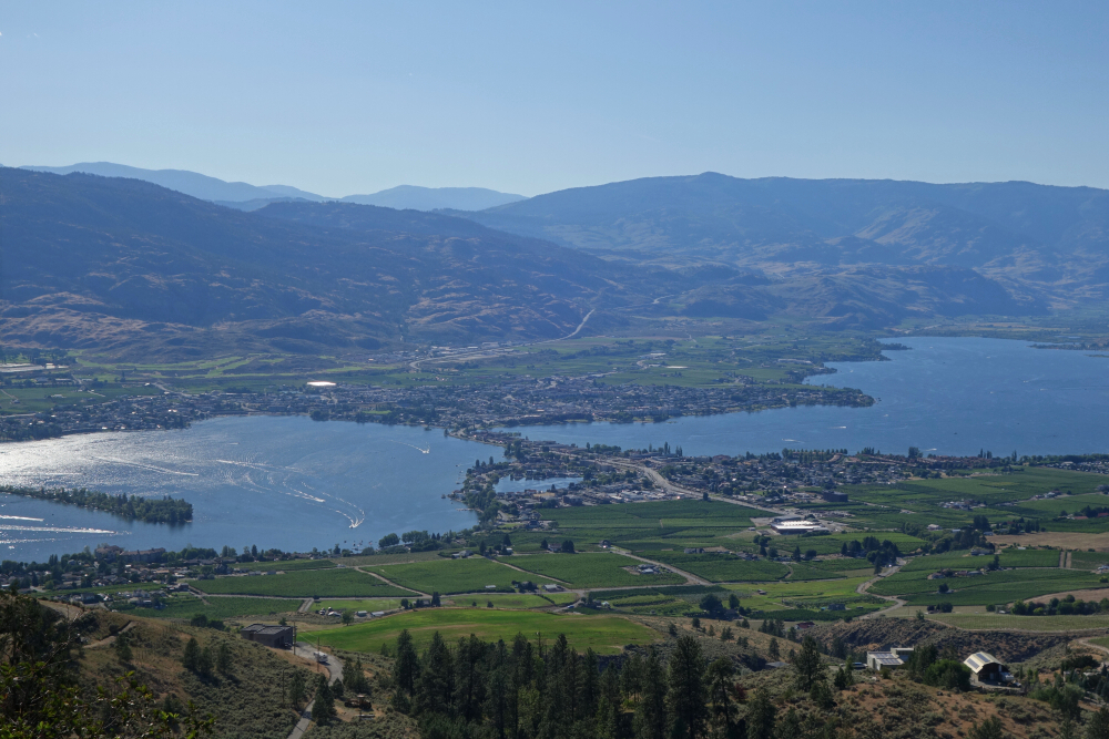
Went for this as a weekend smash 'n grab, having been on the list for ages. Interminably long drive via Hwy3, via Osoyoos (great views of the lake there en route) and beyond to the Slocan Valley. Ugh! Anyway, a few observations that weren't readily apparent from the reports I'd found online:
Parking - It's a bit of a shitshow on a busy summer weekend. The trailhead parking is sloped, making a car camp less than ideal for anyone looking for a restful night after the long drive from Vancouver. If you want to avoid the short bit of pinstriping, park down at the final switchback—it only adds about five minutes of hiking. The road is (was?) otherwise in decent shape, and I'd dare say a sedan could make it without too much trouble.
Approach - Avoid the temptation to follow the trail all the way to the snowfield just below the camping area. It's better to leave the trail early and traverse the open slopes to the right, minimizing the loss and regain across the large gully below the peak's prominent South Ridge. The East Ledges remain mostly hidden during the approach, with the first glimpse coming upon gaining the Gimli-Wolfs Ears saddle. Beware the large cornice overhanging the north side.
Route - A bit of a route-finding puzzle. Initially, stay left of the dark rock towers. Just beyond lies a headwall of lighter-coloured rock that looks like it might require difficult climbing. Instead, look left for a weakness that allows you to gain the top of this feature; you may need to descend a little before finding the easiest line. Easy climbing from there, staying on the crest as much as possible.
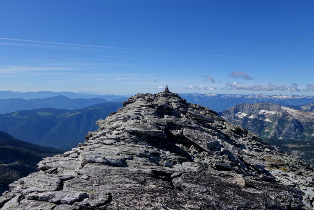
I encountered one small snow patch—maybe ten footsteps across—that was easily avoided on the return. Ice axe and crampons came along mainly as training weight. The route then angles upward through a series of pitches toward the top, where the rock turns dark again. This section is well marked with cairns and zigzags along ledges, all relatively easy. The final ledge traverses rightward and is the most exposed part of the route, though it's short-lived—somewhat reminiscent of the crux on the Joffre scramble, IMO. Suddenly you're on the large summit plateau, with the giant cairn visible just ahead and to the left.
Nobody else was on the route that day, although I encountered one party in the lower talus zone making a second attempt after failing to figure out the route the previous day. Plenty of rock climbers were also around, as one might expect.
A six(ish)-hour round-trip time reported by others is impressive! It took me a good hour or so longer, although I did traverse a little too high from the camping area and had to backtrack. Either way, a fantastic introduction to Valhalla Provincial Park!
It would be very much appreciated if you please ask before copying and/or re-publishing content from any part of these pages. To do so, please click here to send a message via feedback form.