Select from list below to jump to a specific area on this site.
| Latest Posts |
Tuesday, October 13, 2026
Saddle Mountain (Lookout) - via Lookout Trail, August 2025
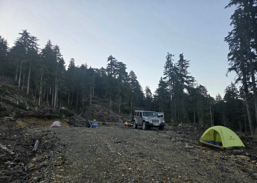
Made a quick rip up to the Saddle Mountain Lookout following my hike of Mount Fosthall the previous day. Planned on driving home that same day, so considering the long commute ahead, just a half-day outing would do. From where I had "freedom camped" the night before near McDonald Creek Provincial Park (east), some 12 kilometres south of Nakusp, Saddle and the slightly lower south summit, where the historic lookout is located, are hard to miss. After preparing a quick cup of joe, I packed up my car camp and made a beeline for the Arrow Park Ferry.
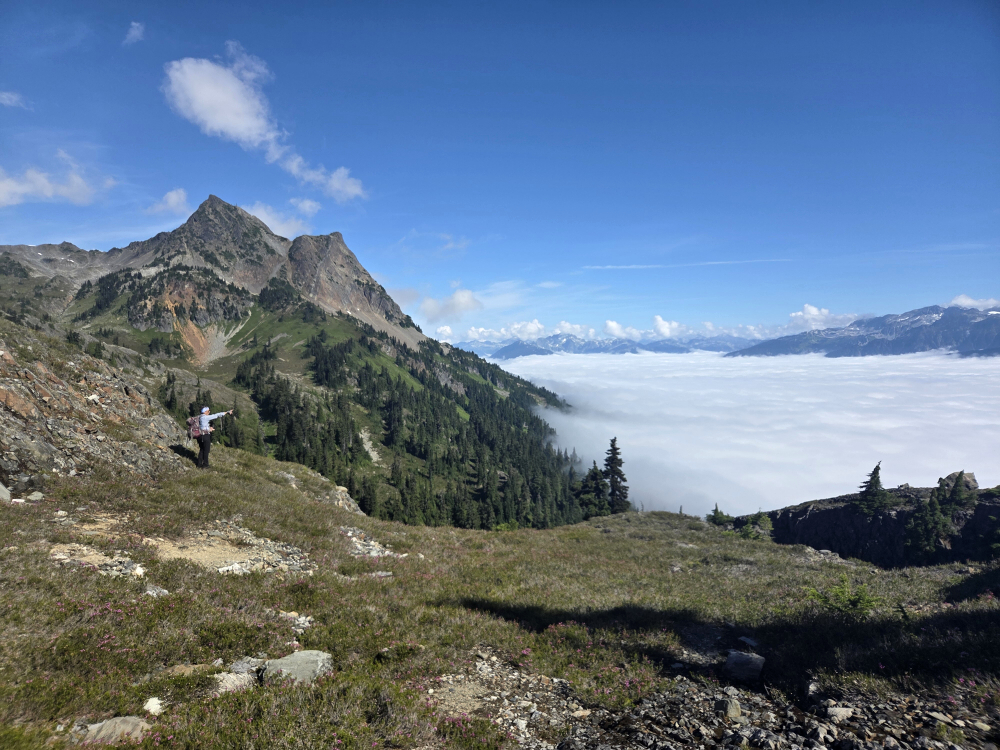
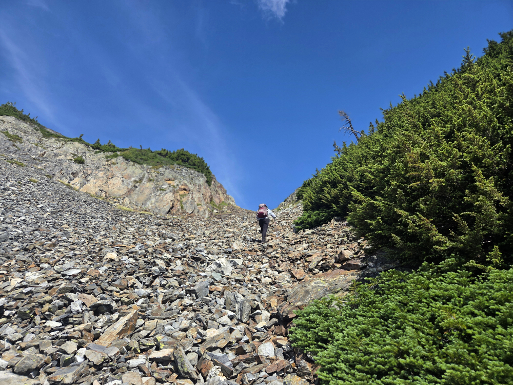
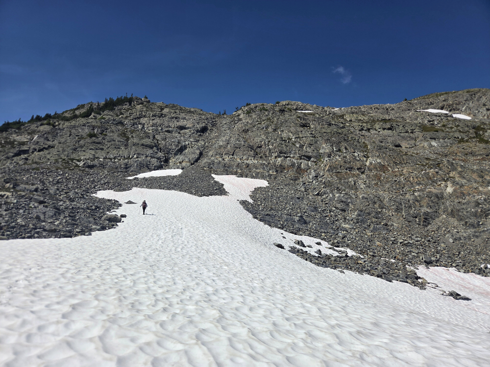
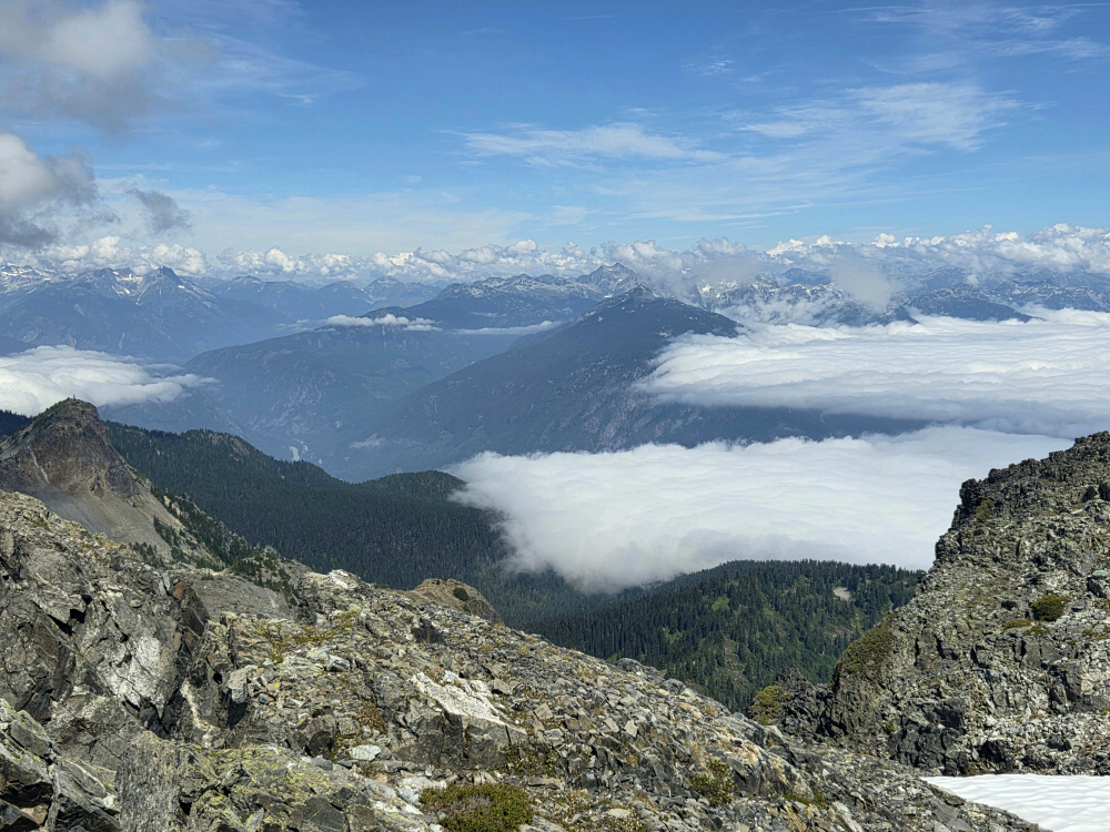
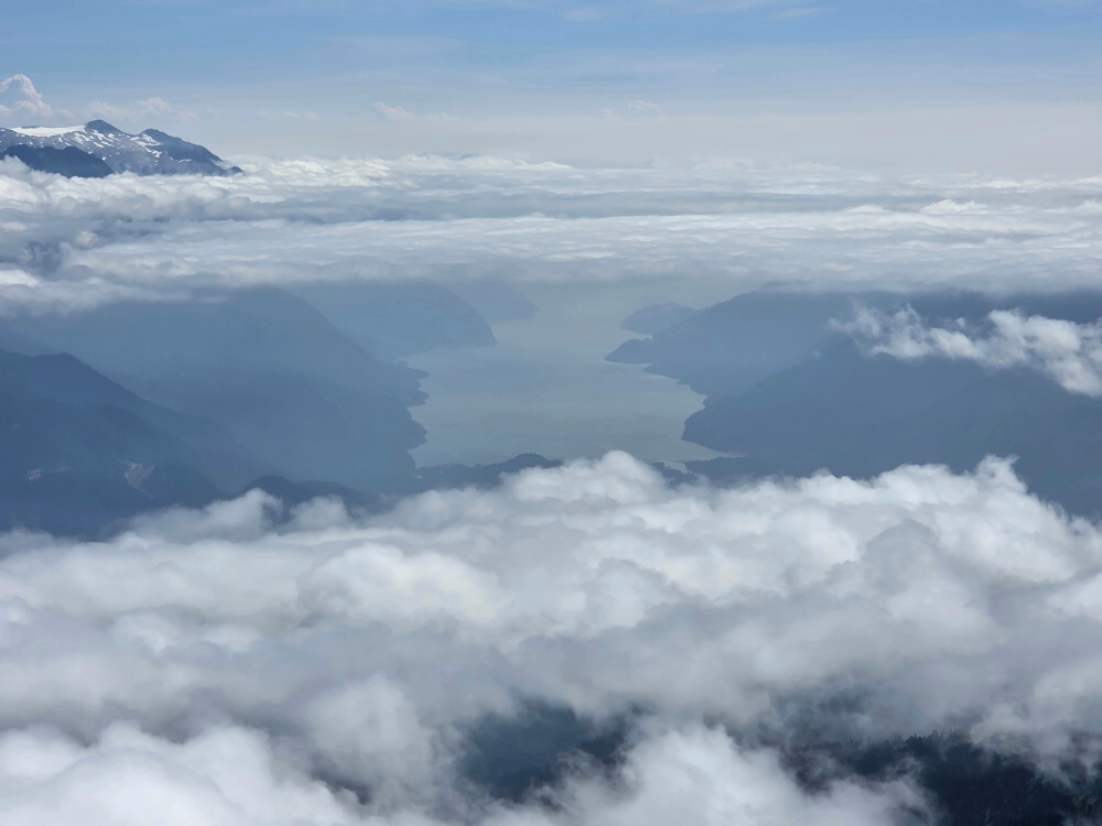
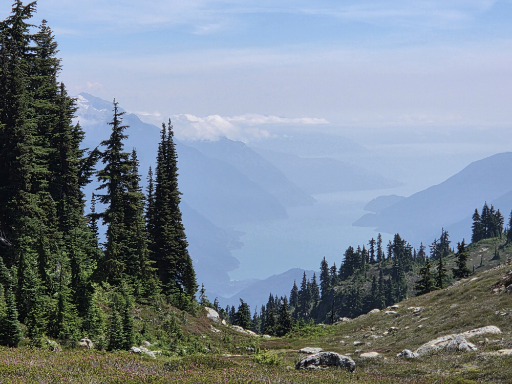
Once on the other side of the lake, I continued up the aptly named Saddle Mountain Road for about 10 kilometres before taking a left fork onto the equally aptly named Lookout Road. I followed this to its end, yet again happy I had a capable 4x4 at my disposal, allowing me to reach the uppermost trailhead. Boots on, then up the trail for a very civilized 3.7 kilometres to the summit lookout. The trail switchbacks endlessly before rising above treeline shortly below the craggy summit block, from where an outstanding view of Arrow Lake reveals itself.
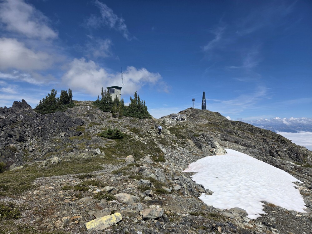
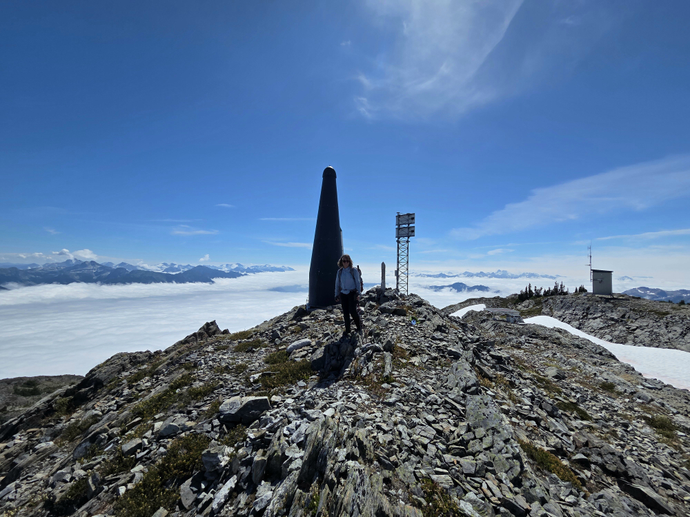
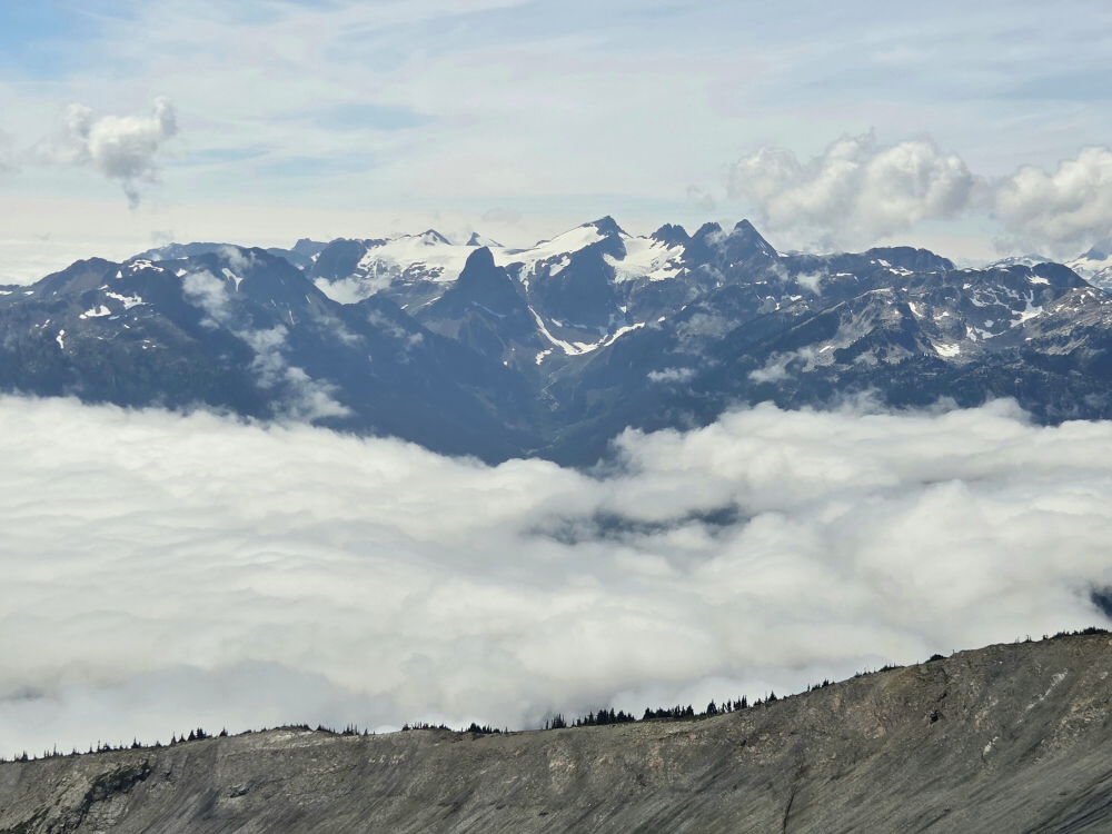
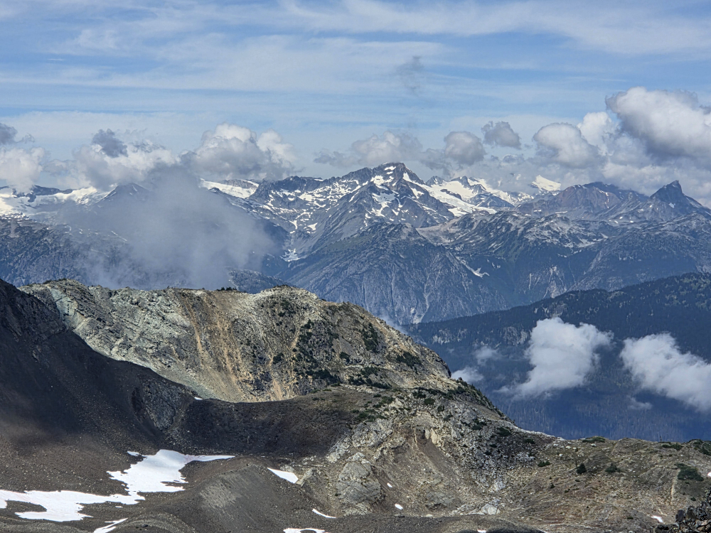
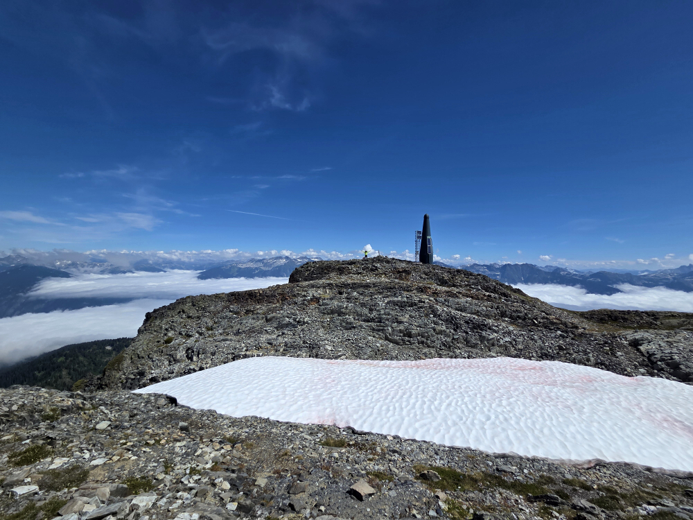
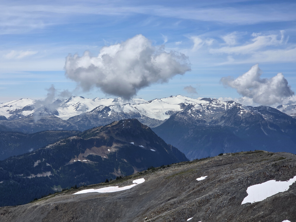
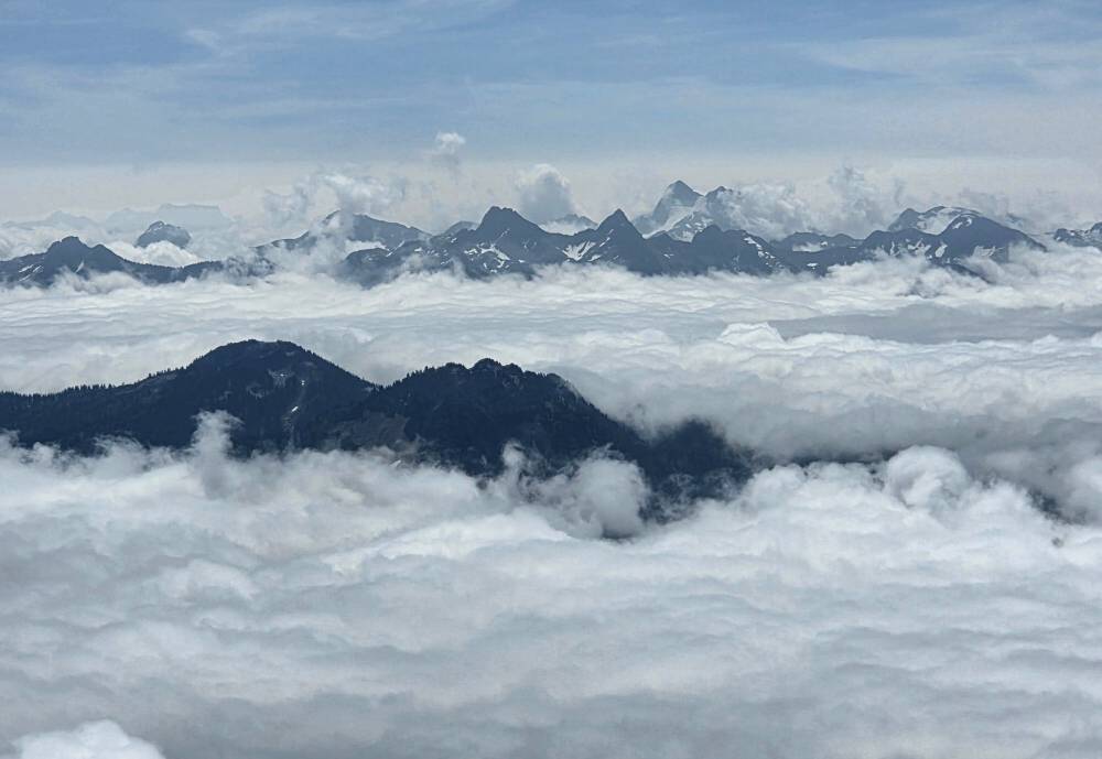
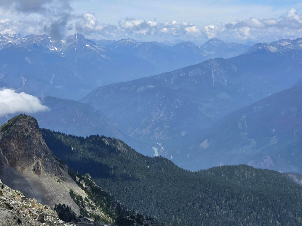
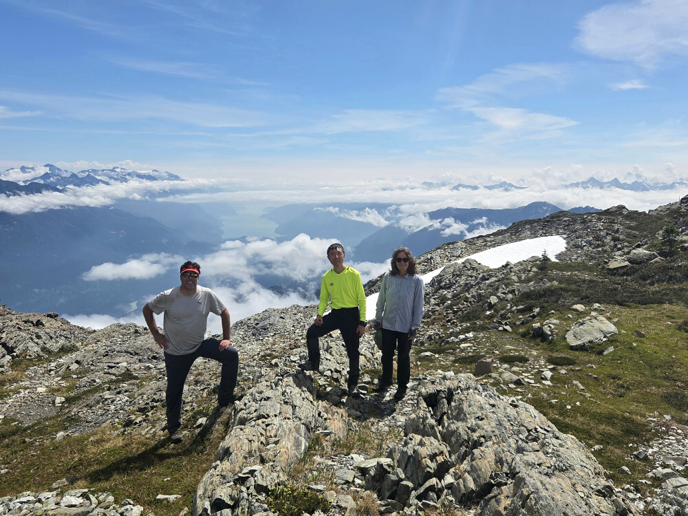
The trail then continues just below Saddle's imposing East Face to reach a saddle just south of the summit block. Turning right here, a short scamper up the south ridge leads to the broad summit area where the lookout is located. I was the only one up there at first, although I was soon joined by a twosome shortly before heading back down. Pretty incredible views for such an otherwise unassuming peak. Not terribly familiar with what I was looking at, although I was at least reasonably sure I could identify the Pinnacle-Mount Severide group to the west and a crest of high peaks stretching from Mount Fosthall to Mount Odin looking north. I see you Odin!
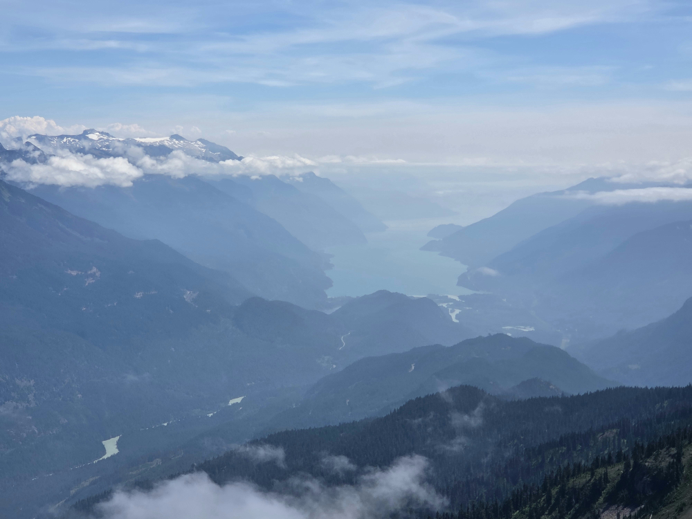
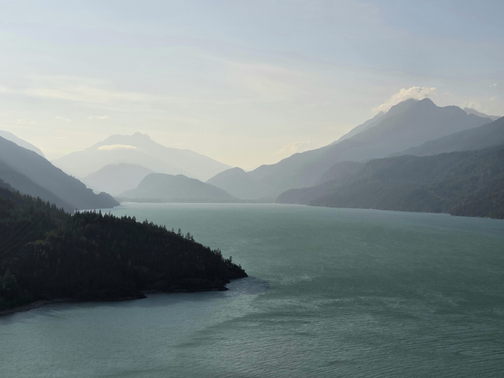
The highlight, as one might expect, was the outstanding panorama of Arrow Lake, stretching from around Nakusp to the north towards the Needles Cable Ferry area down south, where I was headed next. In truth, I considered remaining on the west side of the lake rather than taking the Arrow Park Ferry across yet again, only to then take the Needles Ferry back to the other side one last time. But I'm pretty sure doing this was significantly faster than navigating the forest service roads over to Highway 6, which I'd be taking on my way home.
All in all, a great little jaunt if you happen to be in the area and need a shorty to round out the weekend!
Mount Fosthall - via Sol Mountain Lodge, August 2025
Back to the Monashees, this time for Mount Fosthall, following the shorter east-side approach via Sol Mountain Lodge. Treeline start, very civilized stats, all trail and well marked, most of it can be dispatched by MTB—it doesn't get any more Type 1 than this! To paraphrase, it's nice to change things up and play the "tourist" every once in a while.
Drive/FSR - Starting from near the end of Hwy 23, just before the Shelter Bay ferry ramp, it's a rather long haul to the Sol Mountain Lodge day-use parking area (about 49 km). That said, most of it is smooth gravel, with just a bit of looser/rockier driving towards the end—nothing that requires clearance per se.
Approach - Hopped on the bike for the remaining 1.6 km to the lodge itself, then onto the single-track heading for the Monashee PP boundary. Bit of a maze of trails here, but I was following another party with the same objective as me. Haven't been as much into MTBing in recent years as I normally am and struggled to keep up with the dad and his two daughters leading the way. Just as I began seriously contemplating ditching the bike and continuing on foot, over the bars I go, sealing the deal once and for all. Pleasant hike with some minor ups n' downs from there to the junction south of South Cariboo Pass, where the "ascent" really begins.
Finale - Up below the SE Face, following a worn path and cairns to reach the South Ridge. Then an interminable slog up the crest to reach the summit. No scrambling to speak of, but very nice views, particularly looking north towards the Odin and Blanket groups. Little over 3 hrs up.
Back to the bike stash and then the trailhead sans endo this time, continuing towards the Arrow Park Ferry landing for a critical "resupply" in Nakusp before freedom camping somewhere nearby for the night. Quick rip up to the Saddle Mountain Lookout the next morning before the long drive back home!
Fire Mountain - South Route via Fire Lake FSR, August 2025
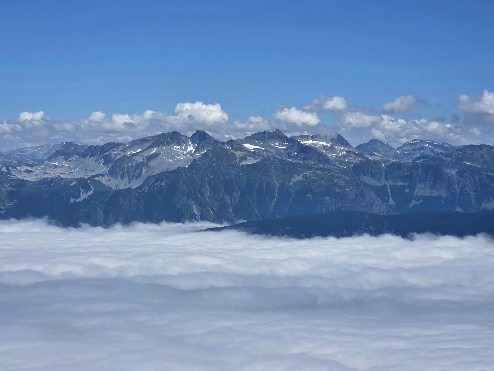
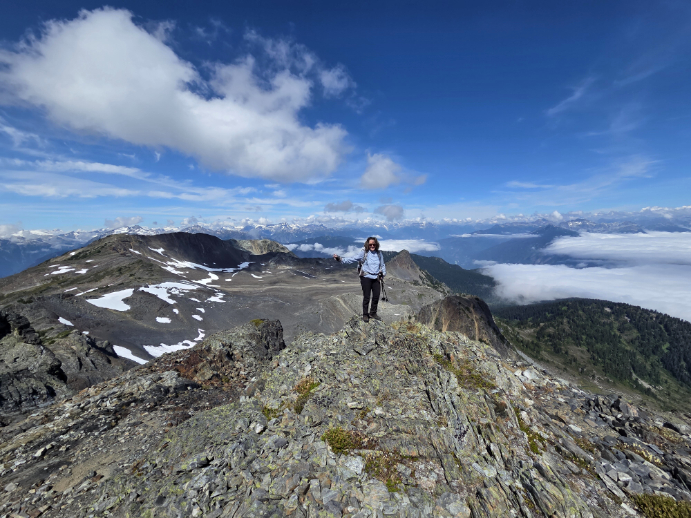
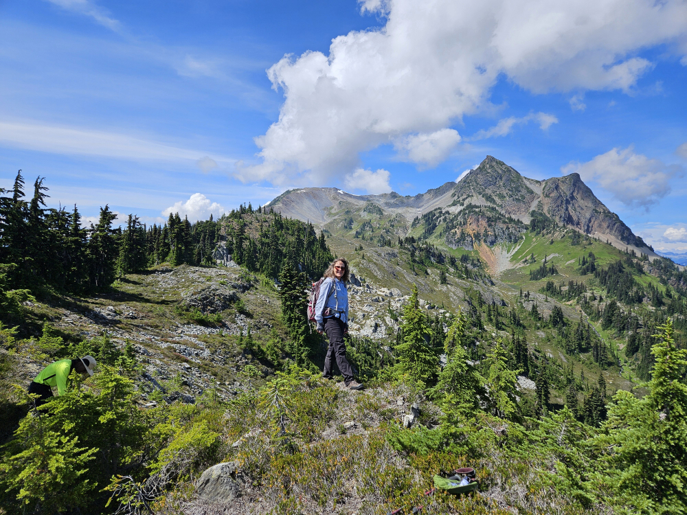
Typically bagged in the Spring, Joanne, Ling and I decided to go for this at the peak of summer coz, well, it's there and none of us have climbed it before. For me, the trip checked several boxes—finally completing the loop via the In-SHUCK-ch FSR from Pemberton southwards to Harrison Lake and beyond, overlooking said lake from a dramatic vantage point directly north of its head, and taking in the views of peaks, glaciers and valleys I've largely not laid eyes upon yet. Perusing a topo of the area, it doesn't take much imagination to appreciate how good the views from the summit are. The peak is practically an island in the sky, with wide and deep river valleys encircling it to the north, east and west.
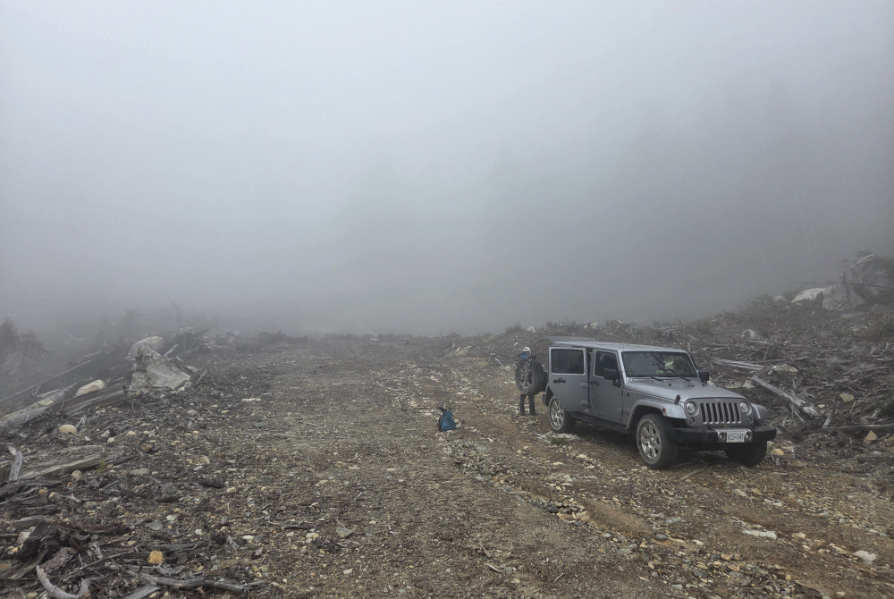
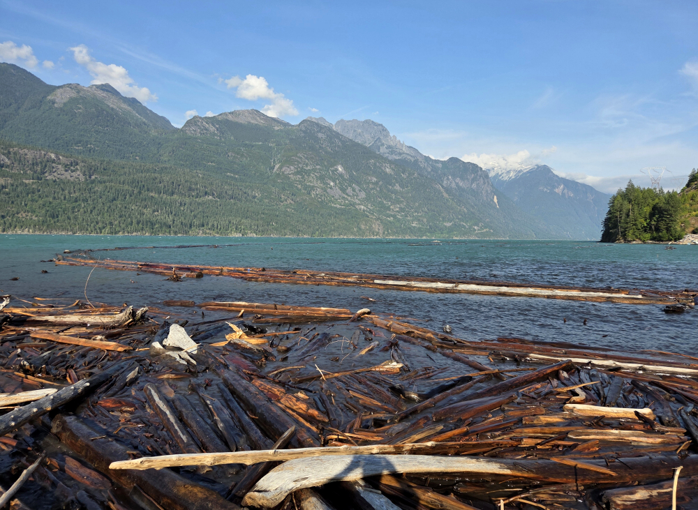
Drive/FSR - In-SHUCK-ch to the Fire Lake FSR and beyond to the log sort area at the north end of Harrison Lake in great shape, and FL1210 suitable for all SUVs to the cutblock at its end. Continuing south via Harrison West FSR didn't seem as bad as expected, with just one shortish section where the road was a bit rough - should be navigable with an SUV and careful driving. Do note that it's a LONG, windy haul continuing south, so bring your patience.
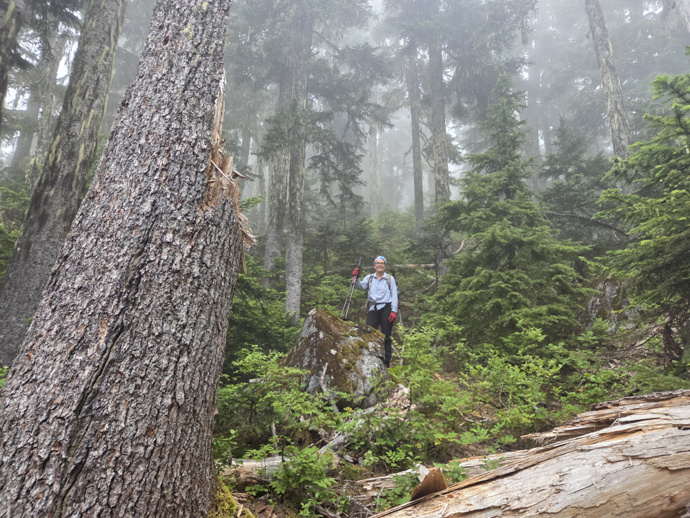
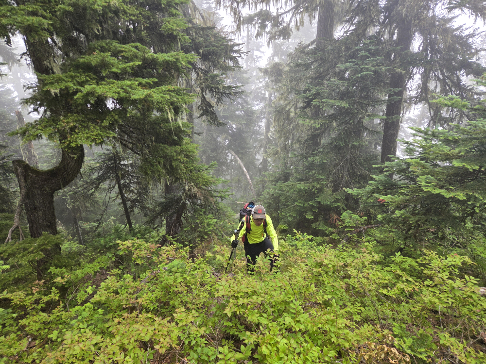
Approach - The decision to tackle Fire this time of year was also in part motivated by reports which suggested that the initial forest ascent isn't too bushy without snow. Come spring, this portion typically isn't ascended with snow anyway, so no harm there. We were generally following others' GPX tracks, which was mostly steep duff followed by blueberry bushes the higher we got. Once gaining the crest of the ESE Spur, roughly at treeline, we expected generally open terrain and easier travel, which mostly held true. All told, the bush wasn't too bad on the ascent, somewhat worse on the descent as we lost our track for a bit, but for a bushwhacking lightweight such as myself, I found it not too terribly unpleasant. YMMV.
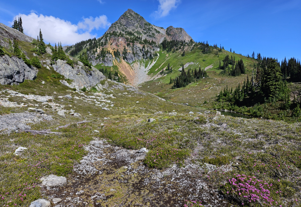
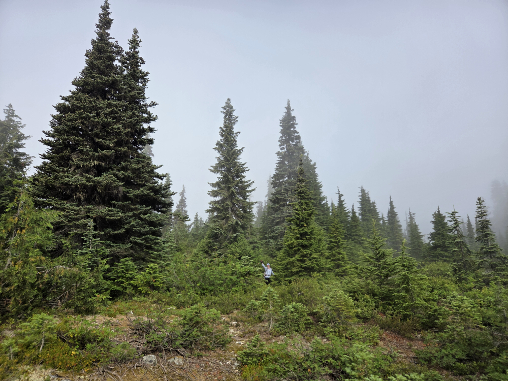
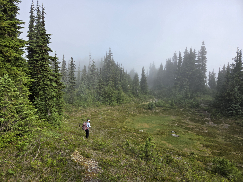
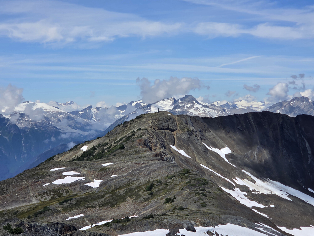
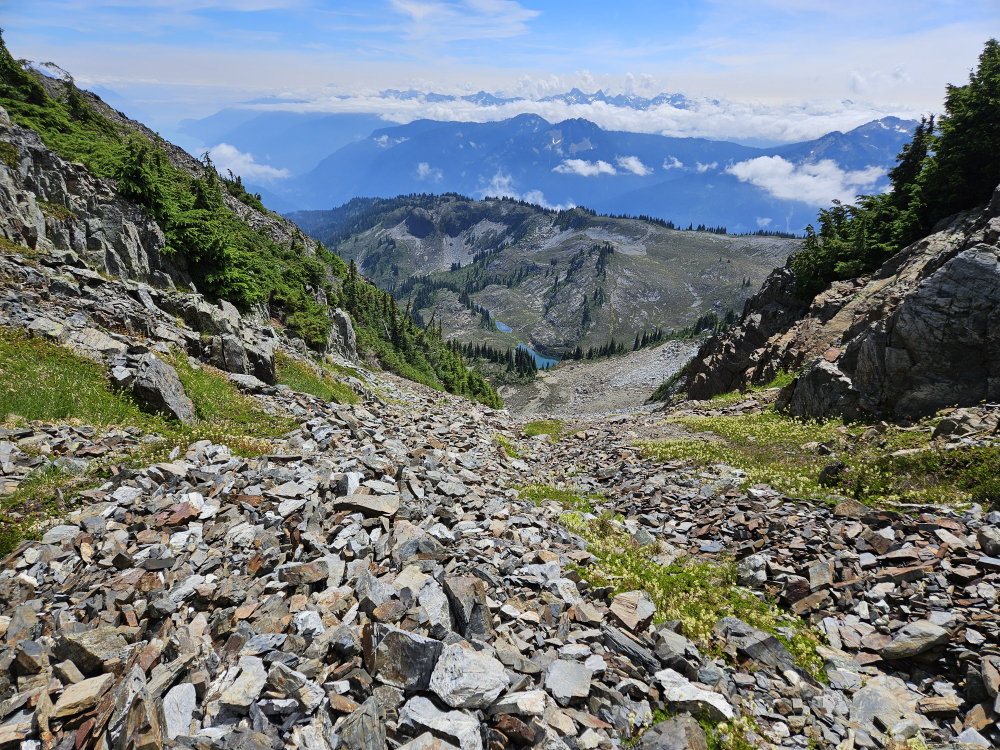
Ascent - With our peak finally in view, we dropped a bit right of the ridge proper and made a slightly descending traverse, following benches and heather slopes to a small (upper) lake nestled below the SE Face. Up a short grassy spur at right, aiming for a small basin from which a diagonal talus ramp/gully feature provides easy access to the upper snow bowl. A bit of easy scrambling up to the left here to reach the crest, with the summit now just a short stroll away.
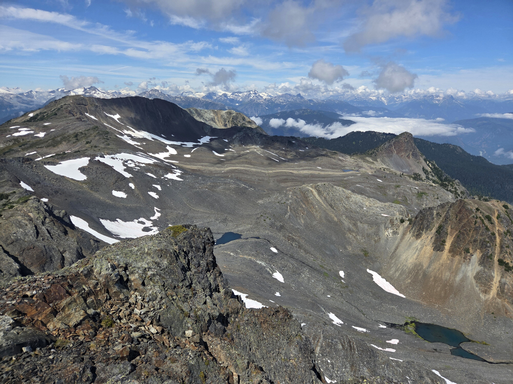
The views, of course, are great, but most unexpected for me was the undeniably volcanic appearance of the summit area, and particularly the large caldera-like basin to the northwest. It's almost as if an eruption blew out to the NE, leaving the remaining crater rim to the west and south. This may be supported by the name itself, although I can find no information describing the geologic nature of the peak. There are also hot springs nearby, so perhaps my theory isn't too far-fetched...
Just under 4.5 hours up, with about 1.5 hrs on top, for a 9-ish hour day. Big thanks to Joanne for doing all the driving on this one!
It would be very much appreciated if you please ask before copying and/or re-publishing content from any part of these pages. To do so, please click here to send a message via feedback form.